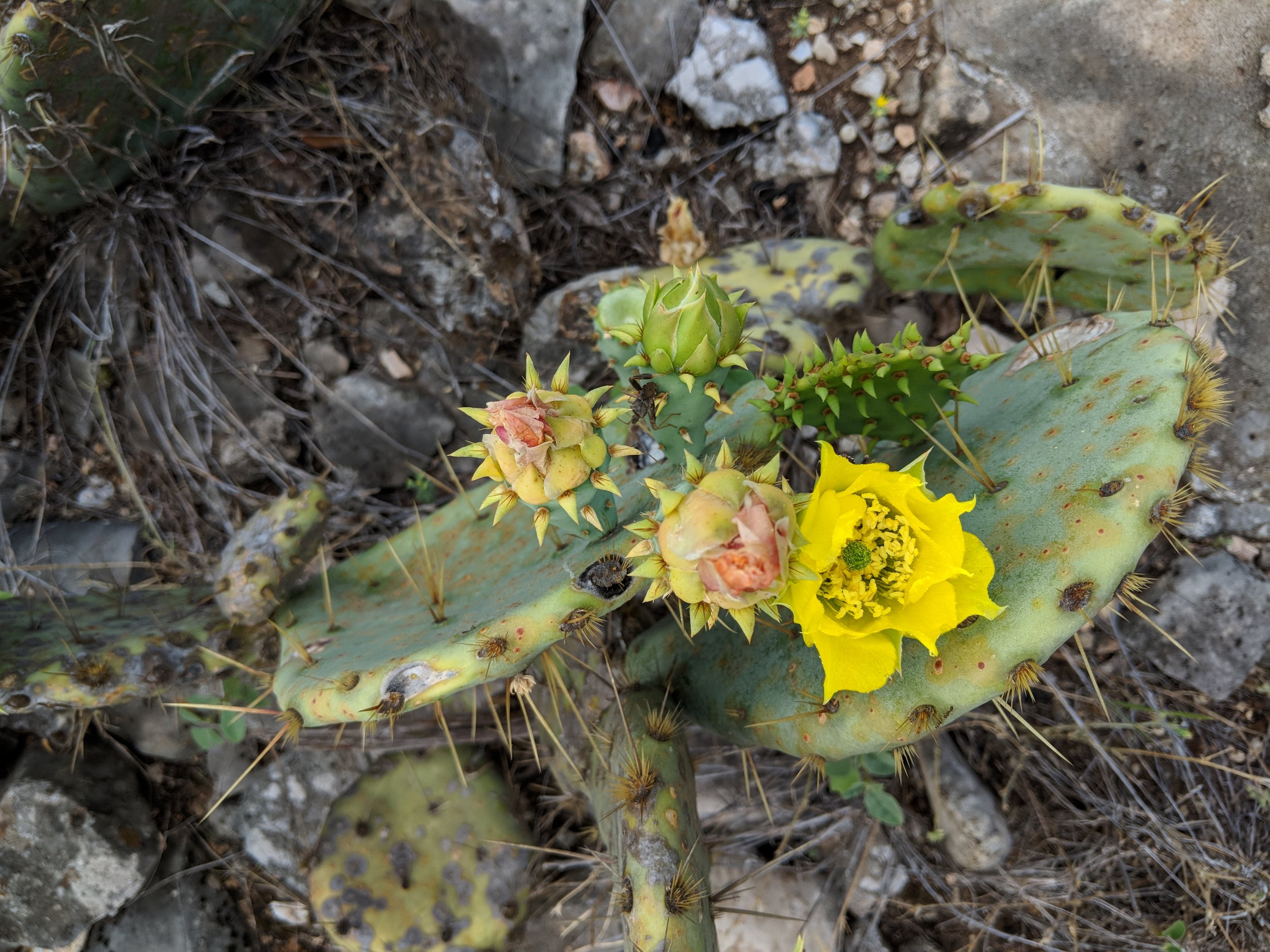
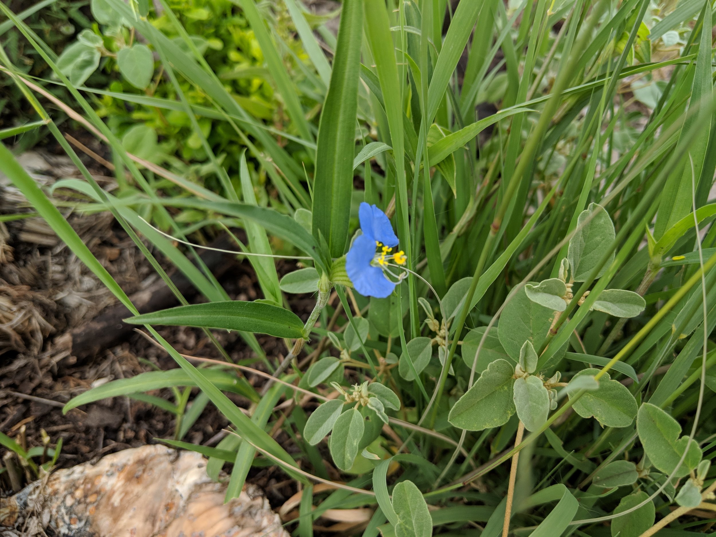
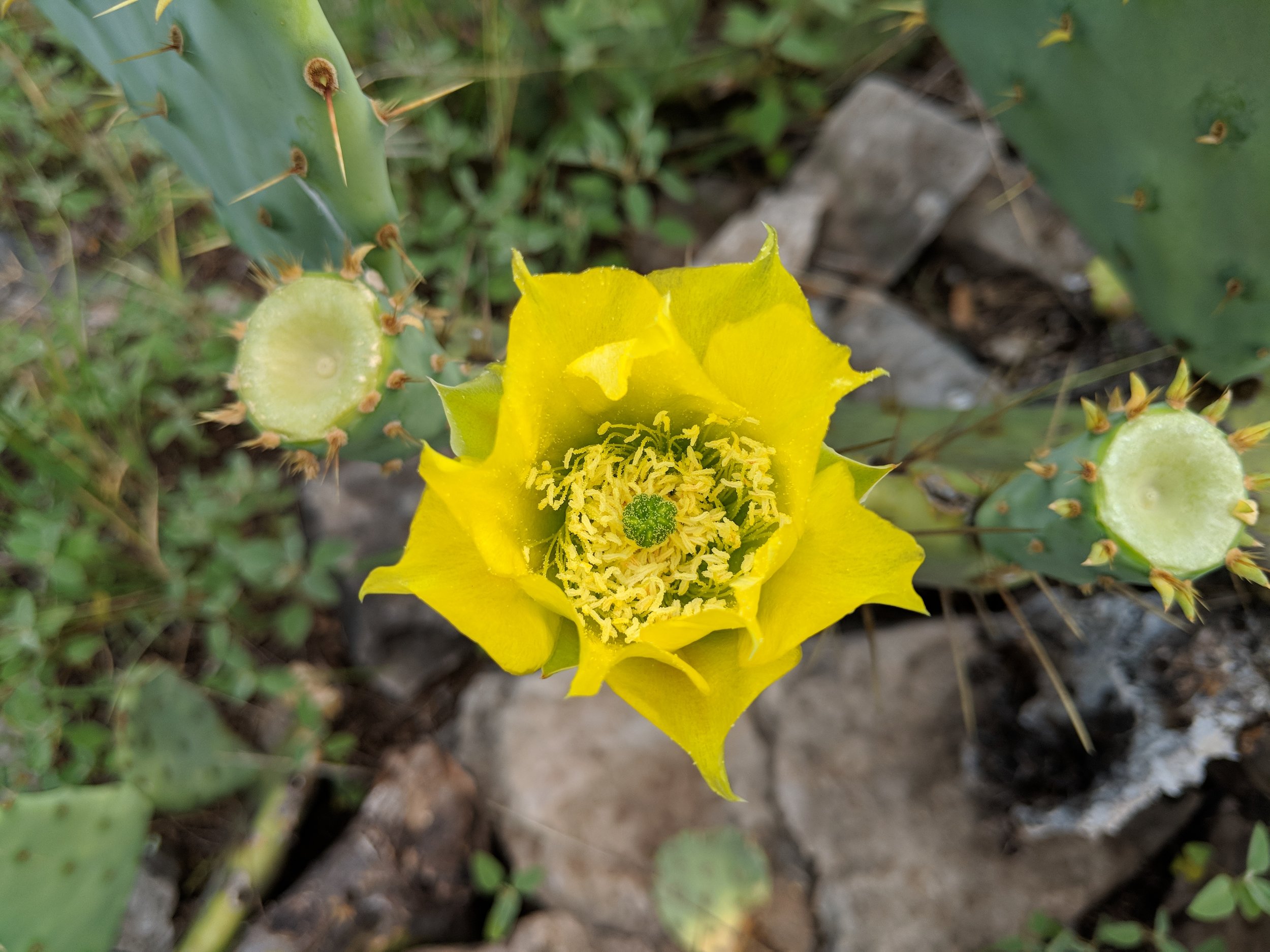
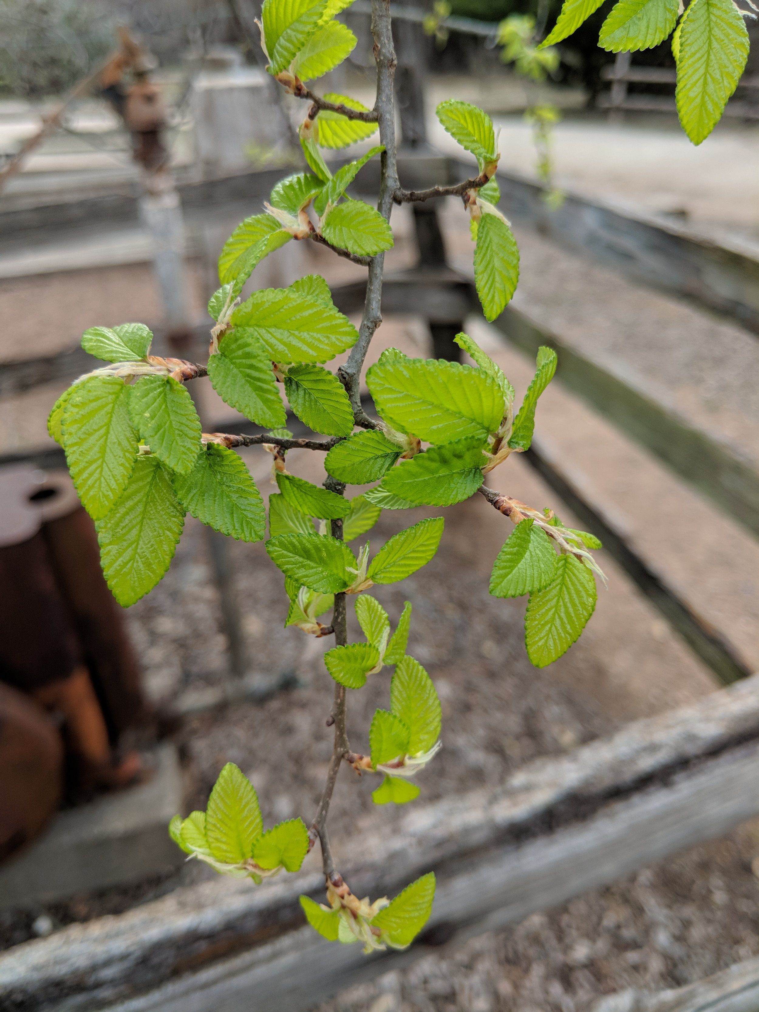
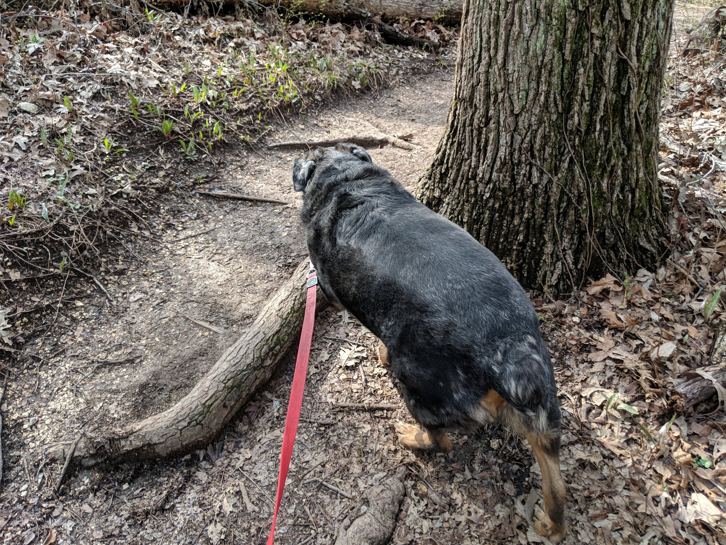
#hike24 - Dinosaur Valley State Park

Date: July 22, 2018

Location: Dinosaur Valley State Park - Glen Rose, TX

Distance: 4.3 miles

Trails: Cedar Brake Outer Loop (partial), Cedar Ridge

See the trail map HERE

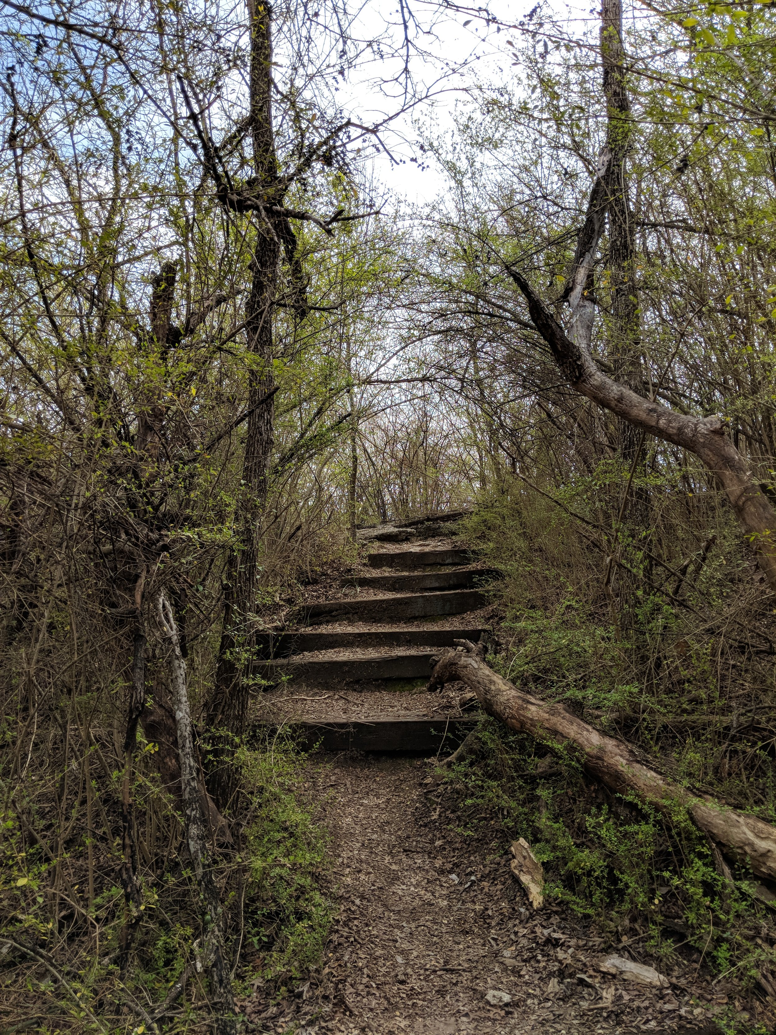
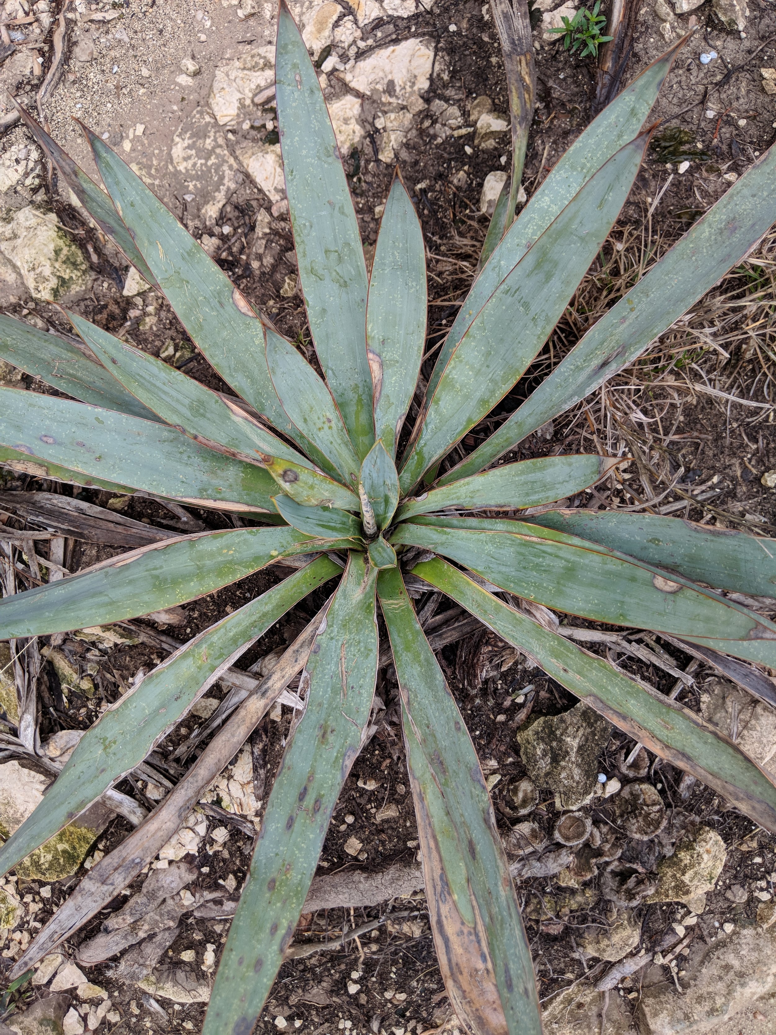
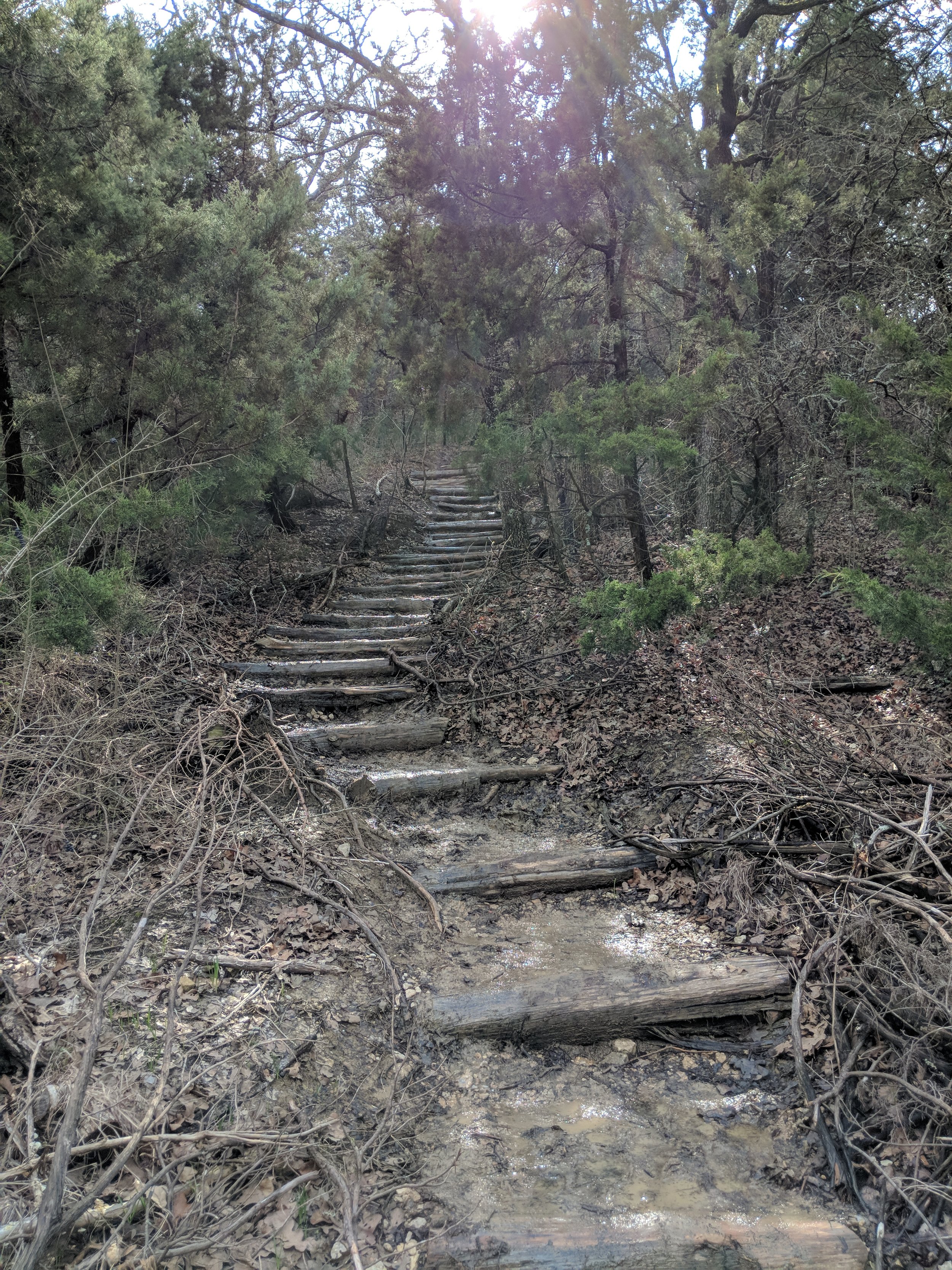
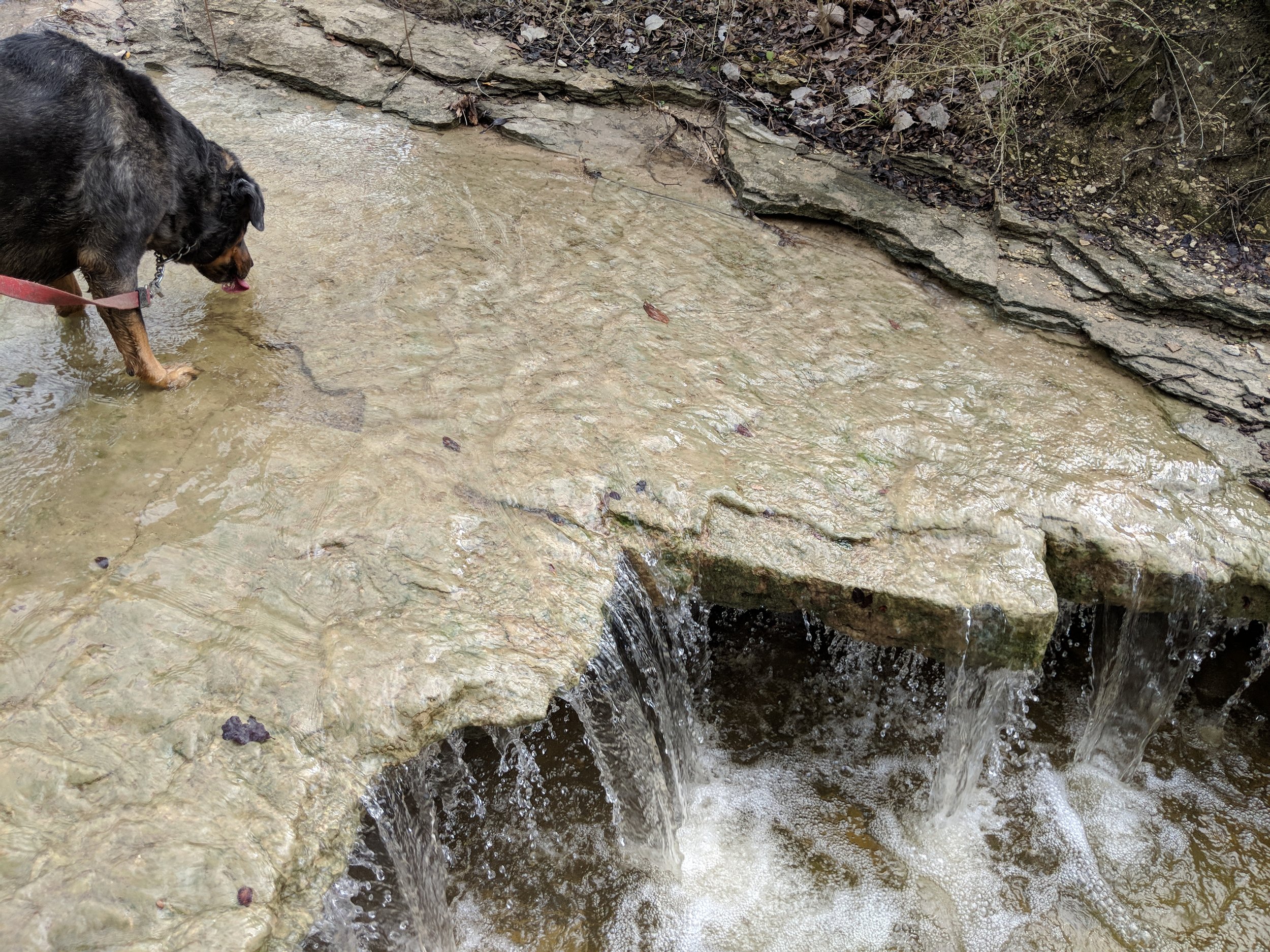
Today's hike at Dinosaur Valley did not include wet feet, cool temps, or many interactions with people.  The hike did include nice breezes, solitude, and plenty of sunshine.  I had a late start this morning, due to staying up way too late, and I was ready to call the whole thing off.  Then, I saw some inspiring words on social media, went for it.  It was 7:45 am when I left the house, arriving at the park around 8:30.  The temps were just below 90 at this point, but still tolerable with the breeze and shade.  As I made my way through my familiar trail, it started to warm up and the flies became more aggressive.  By the time I was done, the temp had climbed to nearly 100.

This week I braved the temperature, embraced the sweat, and said screw the bad vibes.  I often get in my own way, mentally speaking, about going out for a hike in the summer.  It is hot, it is buggy, it is dry, and it is excessively sunny.  Today proved that I can survive and adapt, quite easily actually, so it is as if I cleared this road block for future hikes this summer.  No more excuses!  Sweat wicking shirts, hats, ice cubes in my CamelBak, sunscreen, and bug spray are all I need.

I’m looking forward to next week’s hike, wherever it may be.  We are throwing around the idea of going to New Mexico, but the forecast is currently rainy.  If you have a suggestion that’s within 10 hours of Dallas/Fort Worth, hit me up!  Happy trails!

#hike23 - Dinosaur Valley State Park

Crossing the Paluxy River to start our hike.

Date: July 14, 2018

Location: Dinosaur Valley State Park - Glen Rose, TX

Distance: 5 miles

Trails: Cedar Brake Outer Loop (partial), Denio Creek Warbler Trail. Paluxy River Trail

See the trail map HERE

We started early, my aunt and I, and got to the park about 7:00 A.M.  We registered, parked, and started our hike in 79 degree weather with about 79% humidity.  At Dinosaur Valley State Park you have to cross the river to get to the good trails, but the Paluxy was only a trickle so we didn't have to get wet this time.

I like hikes with my aunt, or other close friends/family, because you can have those good talks that I'd classify as quality time.  We talked, bitched about things, laughed, and overall had a very positive ongoing conversation about life.

The sun climbed higher in the sky, and we started to feel the heat increase while simultaneously feeling perfectly acclimated to the temperature.  About halfway through the hike, we encountered some bugs and that was mildly annoying, but no other real issues.  I have one horse fly bite, that I didn't even notice until today.

We finished up after five miles, before the real heat hit with a slightly lower humidity, and made our way back to the parking area.  We avoided most direct sunlight by picking trails that were shaded by the ridges and scrubby trees thus avoiding excessive exposure.  We saw one woman on a mountain bike, but really no one else dared to be out there with us that we could see or hear.  Once we arrived back to the parking lot, there were a few more cars, but nowhere near the normal packed lot I'm used to seeing.

Summer hiking, in Texas, is not my favorite and I'm at least a month behind on my quest to hike 52 times in the year with one per week....but I'm not worried.   Once the fall hits, I'll have no excuse to hike twice per weekend and maybe even twice per day!  I'm longing for the cooler mornings and evenings ahead.  Until next time, happy trails!

#hike22 - Barton Creek Greenbelt

Date: June 30, 2018

Location: Barton Creek Greenbelt - Austin, TX

Distance: 5.75 miles

Trails: From the MoPac to Hill of Life & back

It was a humid hike, but so refreshing regardless.  I started out counting dogs, people, and bikes but gave up after I reached the Hill of Life.  I started at about 7:15 am, with few people and quickly ran into everyone after 8 am at my midpoint.  It was a popular trail, but everyone was very friendly and smiley and I just enjoyed it.  I got a good feeling on this trail - something I've been longing for - and I am doing my best to be that outgoing-smiley person wherever I go.  I know, not every day/every hike/every run/etc is easy or fun, but interacting with people in a positive way can be as simple as smiling, waving, nodding, or saying hello.

The trail was downhill at first, eventually followed along at creek level - which was bone dry, then transitioned into the Hill of Life - which was a LONG, steep hill that should have been called the Hill of Death.  Many people were using the hill for training - either walking, running, or biking - I was simply trying not to pass out.  My legs went jelly about 3/4 of the way up, so I went back down.  On my hike back to my car, I followed a family that was out for a hike together.  Seeing an entire family doing something together was encouraging and something I hope to see more frequently.

I was thankful for shade, a partly cloudy sky, and the humidity melting away as the morning moved forward.  If you're in Austin, check out the various parts of the greenbelt and happy trails.

Recap: Plenty of cute and REALLY cute dogs, nice people, and plenty of shade.

#hike21 - Eagle Mountain Park

Date: June 23, 2018

Location: Eagle Mountain Park - Fort Worth, TX

Distance: 8.1 miles

Trails: River Trail

It's been a while since I've done a good, long hike.  I did 8 miles, a few trails twice, and enjoyed every minute of it.  It was under 80, low humidity, and very breezy.  The sun was hiding, so I didn't feel too hot, and I didn't need sunglasses at first.  My legs were jelly during the first mile, but after that I was good to go.  This hike was a good start to my summer hikes, that I dread, and I'm looking forward to more early morning excursions.  In the video, I said I was going to go the next day and I can report (it being the next day) that I didn't.  Not out of laziness or related to anxiety, but simply due to temperature and humidity being SO HIGH and gross.

A note about feeling inferior on the trail...  Just my own personal brand of crazy...

People don't have to make fun of you for you to feel inferior, mostly due to the years of believing you're not good enough. For me, it's because I endured years of bullying and being made fun of...I've always been chubby and not the most "masculine" guy.  On the trail, people who look fit, who wear the tight clothes or no clothes, can just trigger some insecurities within my brain despite them not doing or saying anything to me at all.  They could be the nicest person ever, but because of my insecurity and judgment from people who looked like them in the past, they're just the enemy.  My insecure brain automatically assumes they're judging my body or not smiling because they're disgusted.  I know, it's not right, or maybe it is, but it's where my brain goes and I'm working very had to not give a crap what people think and to feel better about myself. Trying to switch from the mindset that everyone is judging me to not giving a crap either way is the real challenge. Not worrying if your looks or actions fit in with everyone else is the key and also my biggest personal challenge.

Trying to balance exercise and diet should be easier, but it's not, and it's a struggle.  My biggest enemy, other than myself, is the weather.  I was lucky for this hike, with a nice breeze and below expected temps and humidity... but, most mornings are not so lucky.  I'm going to continue to fight my insecurities, learn to care less, but also learn to care more about myself, and move forward.  I hope you can find your strength if you're feeling insecure or offer support to those who need it out in the world.

Happy trails and if you want to join me, feel free to get in touch!

Can you spot the deer?  ALWAYS watching...

#hike20 - Tahquamenon Falls State Park

View from the paved path to the viewing deck

Date: June 14, 2018

Location: Tahquamenon Falls State Park - Paradise, MI

Distance: 4.3 miles

Trails: River Trail

Tahquamenon (like phenomenon) Falls is located in the Eastern portion of Michigan's Upper Peninsula and one of the most beautiful places in the state.  It is known to attract plenty of tourists, but we went early enough to avoid them!  My other half, my mom's other half, and I took off around 6 am and made the 2.5 hour drive up to the state park.  The mosquitoes were immediately thick and it was not looking good from an enjoyment perspective, but we had bug spray and hoped for the best.

We set out on the paved portion and made our way to the viewing area at the Upper Falls.  There are 96 steps down to the viewing platform, all worth it.  Between the car and the falls, a bird pooped on me, or I put my hand in bird poop on a railing, or some other situation in which my hand/arm came in contact with bird poop, so that was a good time and made everyone laugh and distracted from the mosquitoes everywhere for a second.

View of the Upper Falls and river from the viewing platform.

Back up the 96 steps we went and headed towards the dirt path that led to the Lower Falls.  It started up on a ridge, with the river below and the trees thick.  We met one family along the way, and they didn't really seem to be bothered by the mosquitoes.  The bugs didn't start out too bad on the upper part of the trail, but the second we descended to the river level, we were eaten alive.  In my 33 years on this Earth, I have never experienced mosquitoes THIS bad.  We probably made it a third of the way to the Lower Falls and decided to turn around because it just wasn't enjoyable.  I was a little disappointed, but ultimately wasn't enjoying the hike enough to continue.  My goal of 10 miles was missed and I settled on 4, but distance isn't always everything.  In just 4 miles, in and out, I saw plenty of nature's splendor to be satisfied.  We had some laughs and I'd definitely return during the fall or winter to do the path.

This hike revitalized my desire to be outside, invigorated my senses, and reminded me that it's not about the distance but overall enjoyment.  I've scheduled a bunch of hikes in my calendar for upcoming weekends to keep me motivated.  If anyone is interested in tagging along, feel free to contact me!  Happy trails.

An Iris and a view of the Tahquamenon River

52 Hikes With Mike - The Halfway Point

It's halfway through the year, anyway... I'm not where I want to be, but I'll be just fine.

I've been drastically unmotivated since April.  I'm about three hikes behind, but I have plans in place to make them up over the next quarter.  For some reason, I've been lazier than normal and it may have something to do with the climbing temps or lack of overall sleep in my life.  I haven't wanted to go hiking at any of my local haunts and I haven't been waking up early enough on the weekends to get in the car and get a few hours away.  I was struggling with this back in March and April, with little relief on the horizon - until now.  I have plenty of opportunities this summer to make up any lost time or distances.

Click here to see my post from April on the first quarter of hiking.

Halfway Point Goals

  • hike further
  • wake up early to beat the heat
  • get out of town on weekend morning days
  • include more cardio between hikes as well as adjust diet/alcohol intake

Halfway Point Statistics - they haven't changed too much since April

  • I'm 91 miles from my 2017 total distance
  • Of 19 hikes, 12 were solo, and 4 included my dog
  • I've been to 13 unique locations, 5 Texas State Parks, 5 states, and 2 NPS units
  • Each hike in 2018 has been enjoyable, so that's good
  • Total mileage is sitting around 122 with an average hike just over 6 miles
Halfway Update.jpg

Upcoming Hikes

  • June 13:  Tahquamenon Falls, Upper Peninsula, Michigan.  I'll be in town for my brother's wedding so I'm sneaking up to the UP to hike between the upper and lower falls!
  • July 2018:  My other half and I will adventure west with the remaining vacation days and I'm hoping to hike in a couple of National Parks
  • August 2018:  It's our 2nd annual BFF Adventure and I know we'll hike somewhere, location TBD at this point.  (I'm voting for Utah, California, or Colorado)
  • August 2018:  Quick trip to Michigan because I have a flight voucher that needs to be used and I will try to hike out near our cottage or maybe sneak away to the UP

Feel free to follow along or even tag along on a hike.  I am pretty open to pacing, locations, etc.  Contact me!  Have a great summer and enjoy the blog.

#hike19 - Dinosaur Valley State Park

"The old standby, always there for me when I need a good hike!"

Date: May 27, 2018

Location: Dinosaur Valley State Park - Glen Rose, TX

Distance: 5.0 miles

Trails: Cedar Brake, Paluxy River

I was visiting my family that lives near Glen Rose and decided I needed a morning hike, at least once, this weekend.  I stayed up way too late the night before, but eventually made my way to my cousin's place to pick up her fiancee and we hit the trails.

The parking lot at the entrance was a bit crowded, and the trailhead parking was busy because of group campers but the overall trail experience didn't include seeing more than three people in five miles.

The river was noticeably low and was not too difficult to cross.  We started around 8 am, in order to try and get a few miles in before the temps skyrocketed into uncomfortable territory.  We saw gorgeous flowers in bloom, cactus flowers, yucca flowers, and of course plenty of insects pollinating.  We hiked at a steady pace, had good conversation, and an overall enjoyable morning.  This hike was just what my body needed.

Overall, it was a satisfying hike with a new hiking partner.  On our way out, the line to get in the park was damn near 50 cars long, so I'm glad we got there when we did.  Here's to you, old standby, your views and trails are always worth it to me.  Happy trails!
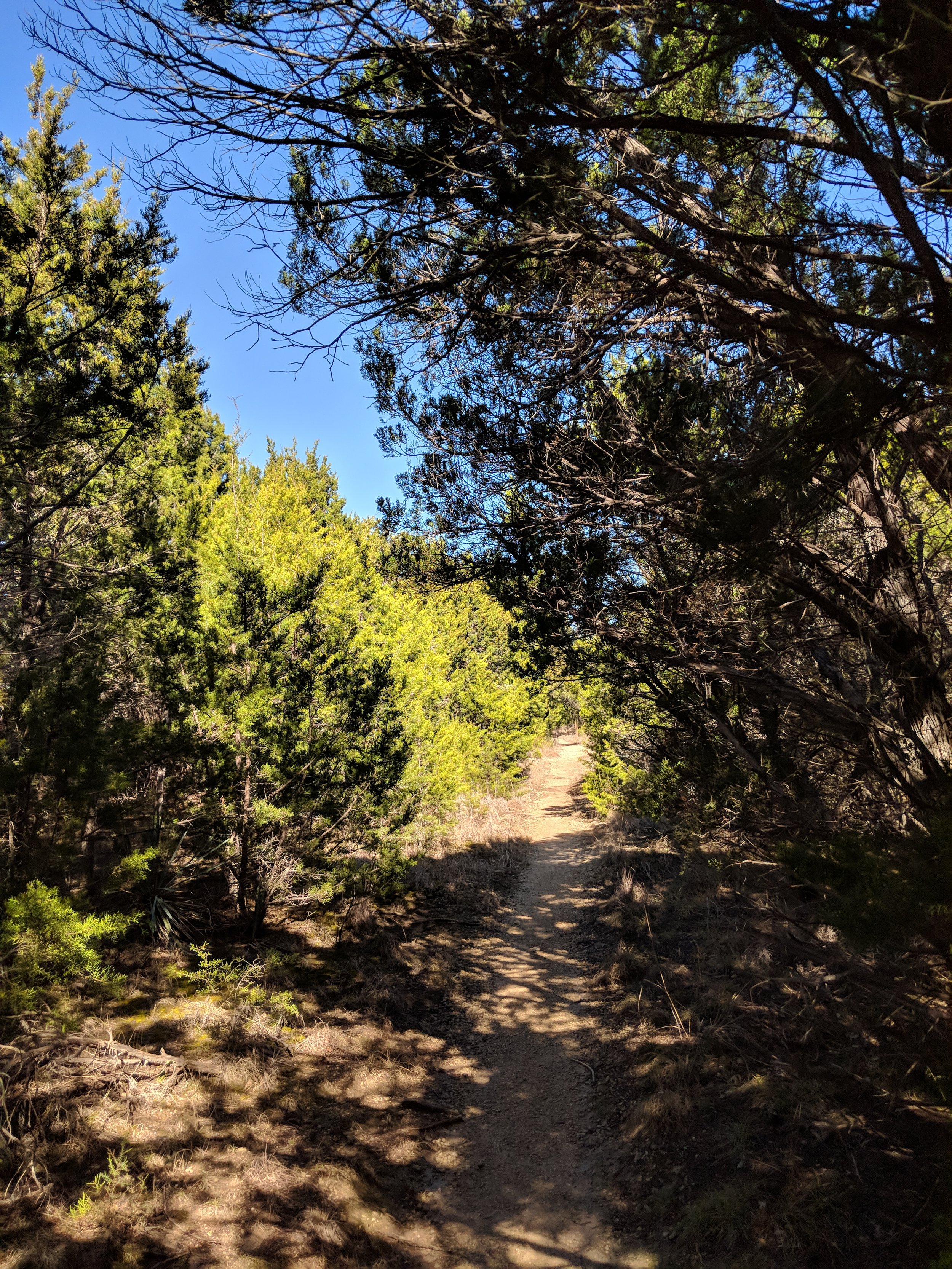
#hike18 - Colorado Bend State Park

"A must see for Texas State Parks - I will return!"

Date: May 19, 2018

Location: Colorado Bend State Park - Bend, TX

Distance: 6.6

Trails: Tie Slide, Gorman Falls, Spicewood Springs (partial)

I had plans to go to Tyler State Park early Saturday morning, but my friend reached out and said her and her family were going to Colorado Bend State Park and that was more appealing because I had always wanted to go there!  So, I got up and got ready for a 3am departure, leaving at 3:30 because it's me, and arrived to the park just as the sun was coming up.  The parking lot was mostly empty, and the trail was ours.  We started our hike as the sun was peeking over the ridge and it made for an excellent introduction to Colorado Bend.

We took the Tie Slide trail to the Colorado River overlook and the views did not disappoint.  The trail was rocky but the views of the river make up for any hardships encountered by the group.

From there we made plans to head to Gorman Falls, the legendary falls within the park as springs cascade down a rock wall into the Colorado.  The hike was pretty mild until the falls and then it's a steep descent down the rocks (with some handrails to help) to the falls viewing area.

Going down these rocks was a bit slick, from daily use, but the ropes were sturdy and offered a solid point of contact.  I found the climb back to the trail much easier than going down, but I always prefer uphill vs. downhill hiking because I feel more accomplished at the top.  Anyway, it was a fun little stretch to get to the magical and lush Gorman Falls.

The falls start at the top from a spring and trickle down a rock face that is constantly changing shape.  The rock face is covered in moss, ferns and other vegetation.  The view of the waterfall can be somewhat obstructed by the trees growing, so the photos don't do this place any justice.  If you have the means and ability, visit in person and you will not be disappointed.  It's a real treat.

There is a main viewing deck and you can get a glimpse of the falls from the trail on the way down and that's where I chose to take photos.  There are signs saying it's a sensitive ecosystem, designed to keep people out of the water and from disturbing the falls.  I don't care enough about pictures, as it is burned in my memory, so I respected the signs and you should too by staying in designated areas.

From the falls, back to the parking lot, we were surrounded by meadows of wildflowers at every turn.  The cactus flowers were blooming and the bees were buzzing everywhere - busy at work!  What a great day to be alive in Colorado Bend State Park.

I have plans to return, either early in the morning again or this fall/winter season.  I want to hike every trail here, as they all looked like they offered great views and fun challenges.

As always, happy trails and enjoy a few more photos - wildflowers and part of our hiking group.

Me, my friend Amanda, and her niece's friend.

#hike17 - Herman Vogler Conservation Area

Date: May 5, 2018

Location: Herman Vogler Conservation Area - Rogers City, MI

Distance: 2.75

Trails: 2 loops, part of another

The healing power of hiking is REAL.

This particular hike was one of the most therapeutic of any I've taken over the past 17 months.  I was in Northern Michigan to say goodbye to my grandfather and was fortunate enough to have the opportunity.  When it was all over, on Saturday, I had the opportunity to take a sunny hike at one of my favorite places near their home to get some fresh air.  Hiking is good for the mind, body, and soul and this short little stroll through the muddy woods was no exception.  I challenged my body with balance, cleared my head, and soothed my soul all in under three miles - mostly.

Spring came late for Northern Michigan this year, so the trails were either covered in snow, miniature ponds, or troughs of mud.  It was fun, and wet, getting through but worth it overall.  These trails were the location for hike 51 and 52 last year, just 5 short months ago.  Hiking has really been an important part in my life for clearing my head, brainstorming new ideas, and relaxing.  I wish you all happy trails and hope you can connect with nature in a beneficial way.

#hike16 - Wichita Mountains Wildlife Refuge

Date: April 29, 2018

Location: Wichita Mountains Wildlife Refuge - Lawton, OK

Distance: 5.6

Trails: Charon's Garden, Crab Eyes

I got up early and drove to Oklahoma.  I needed a change of pace and a little adventure, and this location provided both of those things.  I parked at the Sunset area and hiked the two trails that share the same beginning.  Charon's Garden was lovely, but I got confused and turned around at the boulder field.  I'll go back once I investigate the trail a bit more, I was mostly winging it today.  The Crab Eyes trail was a nice surprise in variety.  It starts going through the woods and over a few creeks and ends with a gentle climb and decent through fields and rocks.  I didn't spend much time in the park, but plan to go back.  Here are some photos from the day.  Enjoy!

(For more info, click HERE!)

Positives: I found maple trees, the sun was shining, the breeze was blowing, spring wildflowers were everywhere, and there were very few people

Negatives: Charon's Garden is a little confusing at the boulder field

#hike15 - Cedar Ridge Preserve

Date: April 15, 2018

Location: Cedar Ridge Preserve - Dallas, TX

Distance: 4.1

Trails: Escarpment, Fossil Valley, Cedar Brake (trail map)

At Cedar Ridge, huge crowds of people are unavoidable and it's something I have just learned to deal with as part of hiking in a huge metro area with limited options.

My top 3 things to love about the people at Cedar Ridge:

  • Families that hike together - there are a lot of them and it's so nice to see.  I've seen multiple generations out together, which is so cool.
  • Older dudes hiking together just shootin' the shit, I aspire to have a friend when I'm old to causal hike the neighborhood park with and talk about life.
  • People walking their dogs - face it, dogs are awesome and for me are the highlight of the hike.

My top 3 things I don't love so much about the people at Cedar Ridge:

  • People who leave their dog poop at the entrance or don't keep their pets close to them while walking
  • Couples basically making out on every bench or as they walk - get a damn room already!  I just don't think that's cool... hold hands, but you don't have to kiss and make out.
  • People that don't share the trail... Mainly, groups that don't go single file on narrow areas when people are passing.  Just because you're mid conversation with your BFF Jill doesn't mean I don't want to get by... get over it.

Today's hike was rejuvenating and I pondered a lot of things.  It looked like spring but felt a bit too cool to qualify.  On one of my trails, I ran into a fellow blogger and hiker named Richard.  His blog has helped me find quite a few new spots and he really is an inspiration to people wanting to trail run.  Go check him out here.

I hope y'all have a great week ahead - happy trails!
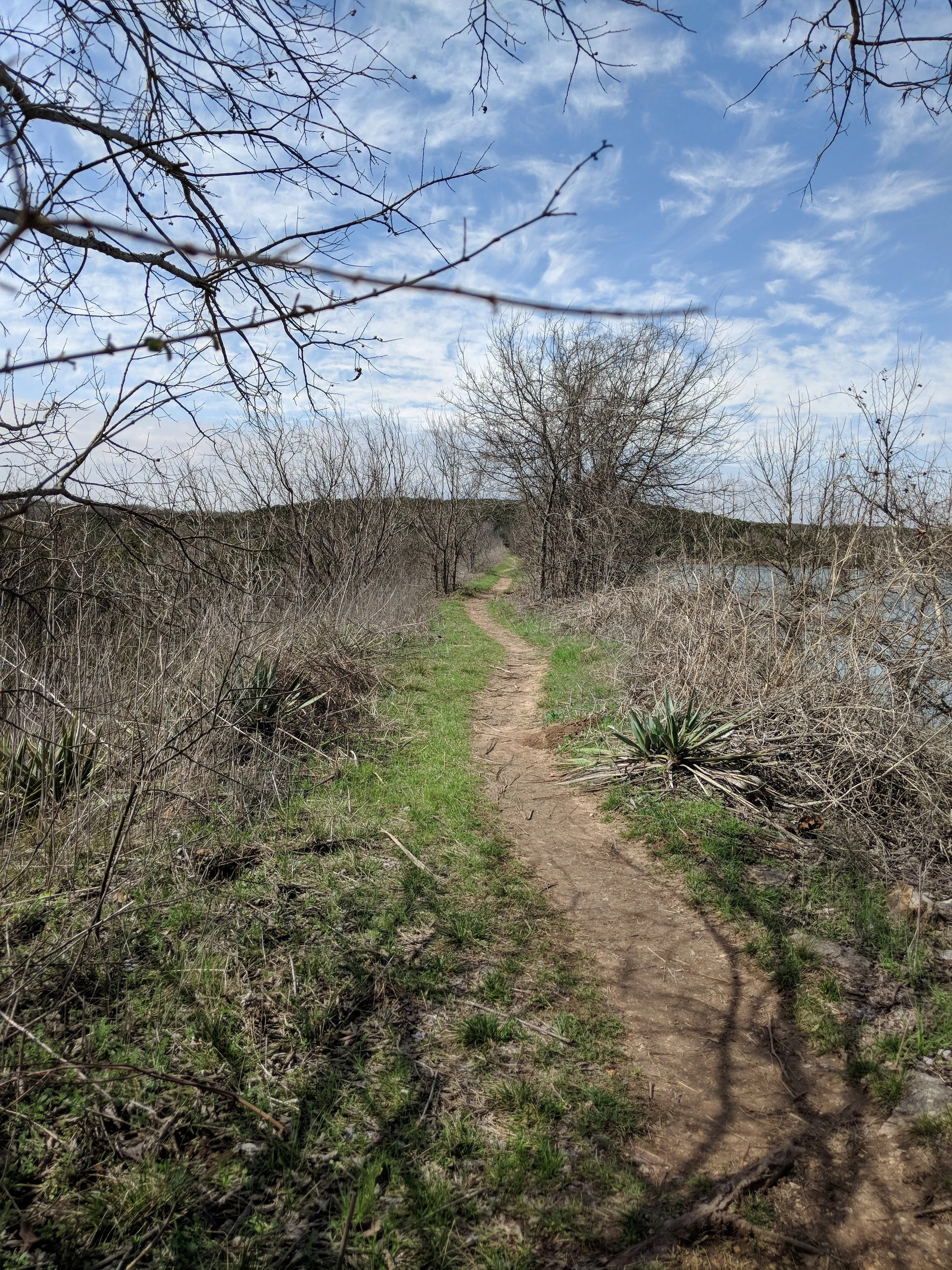
Revisiting the 2018 Goals

Goals for 2018:

-Hike more than 300 miles
-Take longer hikes each week
-Include backpacking
-Hike to Guadalupe Peak in Guadalupe Mountains National Park
-Hike in Olympic National Park
— Me, January 2018

It's time for my first quarterly update to assess the 2018 hiking season...

Statistics:

  • 14 hikes
  • 97.8 miles
  • 9 solo hikes
  • 5 companion hikes
  • 3 hikes with my dog
  • 10 unique locations
  • 3 unique states
  • 1 unique NPS unit
  • Enjoyed all 14!
  • 7 miles/hike average
  • 202 miles to hit 300 total
  • Shortest hike: 3.5 miles
  • Longest hike: 9.55 miles
  • 114.6 miles to reach my 2017 total

I'm currently headed towards a total of 360 miles, give or take, but still hoping to reach 400 as a super goal.  Honestly, I'll be happy with anything over 300 miles as long as they were all enjoyable.  I'm running into my usual blockage - finding it difficult to hike locally without dread.  I've enjoyed every hike, but the process of getting out is becoming more and more difficult each week.  Dallas-Fort Worth has a few great locations, but most of my hiking will require a bit of a drive to spice it up.  My 2018 go-to metro location is Eagle Mountain Park with my go-to state park being Dinosaur Valley.  As always, I'm open to people coming along though I often dread it because I sweat so much and irrationally fear judgment that probably will not happen anyway.

I've hit my goal of hiking in Olympic National Park and I even climbed up 1800 ft while there.  I'm ready to attempt the hike to Guadalupe Peak before summer or in the fall.  I've been taking longer hikes, and I really enjoy pushing myself beyond 7 miles - I don't even feel it now until about mile 8.  All in all, I am hoping to up the average and find a few new places in the near future.  Looking ahead to hike 19, I'll hopefully be trekking between the upper and lower Tahquamenon Falls in the Upper Peninsula of Michigan.  Looking even further forward, we are possibly returning to Alaska this summer in July around hike 28 and 29.

Moving forward, I'm hoping to make more early Saturday morning drive to places a bit further out to get some new real adventure on the books over the next few months.  I can easily drive back up to Oklahoma or Arkansas and find a variety of trails within 4-5 hours if I want forested getaways.  If I want some desert landscape, I can push myself to drive to west Texas or even New Mexico to explore over the weekend.  Either way, the theme for the future is more adventure and less dragging my feet with getting up and out.

If you'd like to hike along, or have suggestions for me, contact me!  Hike your own hike and happy trails.

#hike14 - Eagle Mountain Park

Date: April 8, 2018

Location: Eagle Mountain Park - Fort Worth, TX

Distance: 8.3

Trails: All trails, some twice

Got up early on a Sunday morning to hit the trails.  I arrived at my go-to park at 7:40 AM to a nearly empty parking lot.  It was 35 degrees and overcast, so I figured that had something to do with the empty lot.  When the temp is below 40, I am happy.  I started on the north trails, just under 3 miles, and made my way to the south trails to round out the 8.  I love walking along the lake, the waves are calming plus there was a nice mist rising into the cool air.

I don't have much to say about this place, other than I just really enjoy going here.  The hills give me variety, and I challenged myself to run up the hills I encountered which proved to be rejuvenating.  Walking through the fresh foliage reminded me that it is indeed spring, and also that hot weather is on the way back.  New life in the forests helped me find peace and clear my head, so I highly recommend spring hikes for that purpose.

I hope you all have a great week ahead; happy trails!

#hike13 - Olympic National Park (the coast)

Date: March 31, 2018

Location: Olympic National Park - Washington

Distance: 9.3

Trails: Ozette Loop

I woke up as the morning became light, decided it was time, and made my way to the Ozette Ranger Station to park and get acquainted with the trail and area.  It was about 7:21 and I wanted to be done before noon, as I had planned to check out of my cabin by then.  Four-plus hours was plenty of time to complete 9 miles, even at a slow pace, but I was off in a hurry.  After about a half mile, I consciously calmed myself down and went a normal pace so I could enjoy all of the lush greenery and skunk cabbage blooms.  The Ozette Triangle, or Ozette Loop, is really two trails and a beach hike.  The two trails to/from the beach go through coastal forests, random clearings, swamps, and crosses creeks.  The paths are either soil in boxes, boardwalks, or dirt.  Elevation gain is minimal, until the end, but here are stairs and a rope for any necessary assistance making it acceptable for all types of hikers.

I remember stopping when I heard the first sign of waves - the ocean was near.  The air changed, my pace changed, I was smiling uncontrollably, and I was finally to the beach.  As I got closer, the beach smelled less fresh and more fishy, but what can you do?  Walking the beach from trail to trail had some obstacles such as large fallen trees, rocks, and tide pools.  I ran into a group of hikers who didn't have a map so we looked at mine and made friendly chatter.  It's nice to run into people with the same idea as you, wandering down the beach in search of the next trail.  I eventually left them in the dust, hike your own hike, but I did enjoy their company for a little while.

This hike was secluded enough and offered the most variety as far as terrain and plants of any over my weekend in the Olympic.  I hope you find your path and happy trails!

#hike12 - Olympic National Park (inland hikes)

Date: March 30, 2018/April 1, 2018

Location: Olympic National Park - Washington

Distance: 8 miles

Trails: Marymere Falls, Mt. Storm King, Sol Duc, Maple Glade, Hall of Mosses

WHAT A HIKE.  Hike 12 encompassed several trails from my weekend away on the Olympic Peninsula in Northwest Washington.  For this, I'm taking all the little hikes I did over two days and counting them as one for record keeping purposes, as many were at just about a mile.  It's amazing - as I look back at previous hikes, they were longer but much less impressive.  A mile on the Olympic can blow your mind.

Marymere Falls: This trail started at the Storm King Ranger Station and goes through a tunnel, under US-101, and follows the river back to a couple of bridges and some stairs to a waterfall viewing area.  The sound of rushing water, the bright green undergrowth, and the moss covered logs all accompany you along the path.  Take your time, take it all in.

Mt. Storm King: This trail branches off of the Marymere Falls path and goes straight up!  I climbed about 17-1800 feet in 1.4 miles, and I didn't make it to the very top due to wind and lack of confidence.  BUT, I did make it up past the marked trail and had excellent views.  If you don't mind heights or just love hills, this is the trail for you.  It begins with sweeping switchbacks and transitions to more straightforward and steep trails.

Sol Duc, Hall of Mosses, and Maple Glade:  These trails are rainforest hikes!  The Quinault Rainforest area houses the Maple Glade and by far my favorite.

Trail to Sol Duc Falls

Tree growing out of a tree - Quinault Rainforest North Shore

Maple Glade - Quinault Rainforest

Mossy limbs in the Hoh Rainforest

Some vegetation contrast - Quinault Rainforest

The time spent in these areas was magical.  I have never felt so grounded and free-spirited all at once.  If you get a chance to hike in the Pacific Northwest, DO IT!  Sending everyone happy trails ahead.

#hike11 - Dinosaur Valley State Park

Date: March 24, 2018

Location: Dinosaur Valley State Park - Glen Rose, TX

Distance: 9.1 miles

Trails: Paluxy River & Cedar Brake Outer Loop (here's the map)

Previous Hike(s): January 2018

I woke up at 5am on a Saturday for a hike because I love to do it THAT much.  Personally, I love to start the day in the dark because as the light comes I feel as though the world is waking up with me.  Other perks about starting early include less traffic, less people, and it opens the day up for more opportunities to enjoy the outdoors.

I got to the park as the sun was coming over the ridge, about 7:30am.  I was shocked to arrive and see a parking lot 75% full of cars, but soon realized it was some special camping event and it was overflow or something.  Other than a lady power walking along the river, I didn't have company on the trail until about mile five, and it was only a few people at first but towards the end there were groups and groups of people crossing the river and starting the trail.

I saw one bunny and more spiders than I can count.  It was nice in the winter, with less spiders, but they are back and webbing across the trails like crazy.  Most spiders I encountered were harmless, but the webs always feel a little weird when you don't see them and walk through.

Takeaways:

  • As I often suggest, start early.  In Texas (and other warm places) it's cooler, less crowded, and often worth it for the sunrise alone.
  • If you're becoming familiar with a place, and it's a small/moderate loop trail, go the opposite way and you may see things differently.

I did my video summary, as usual, but I didn't have the phone mounted.  Enjoy the shaky video and happy trails!
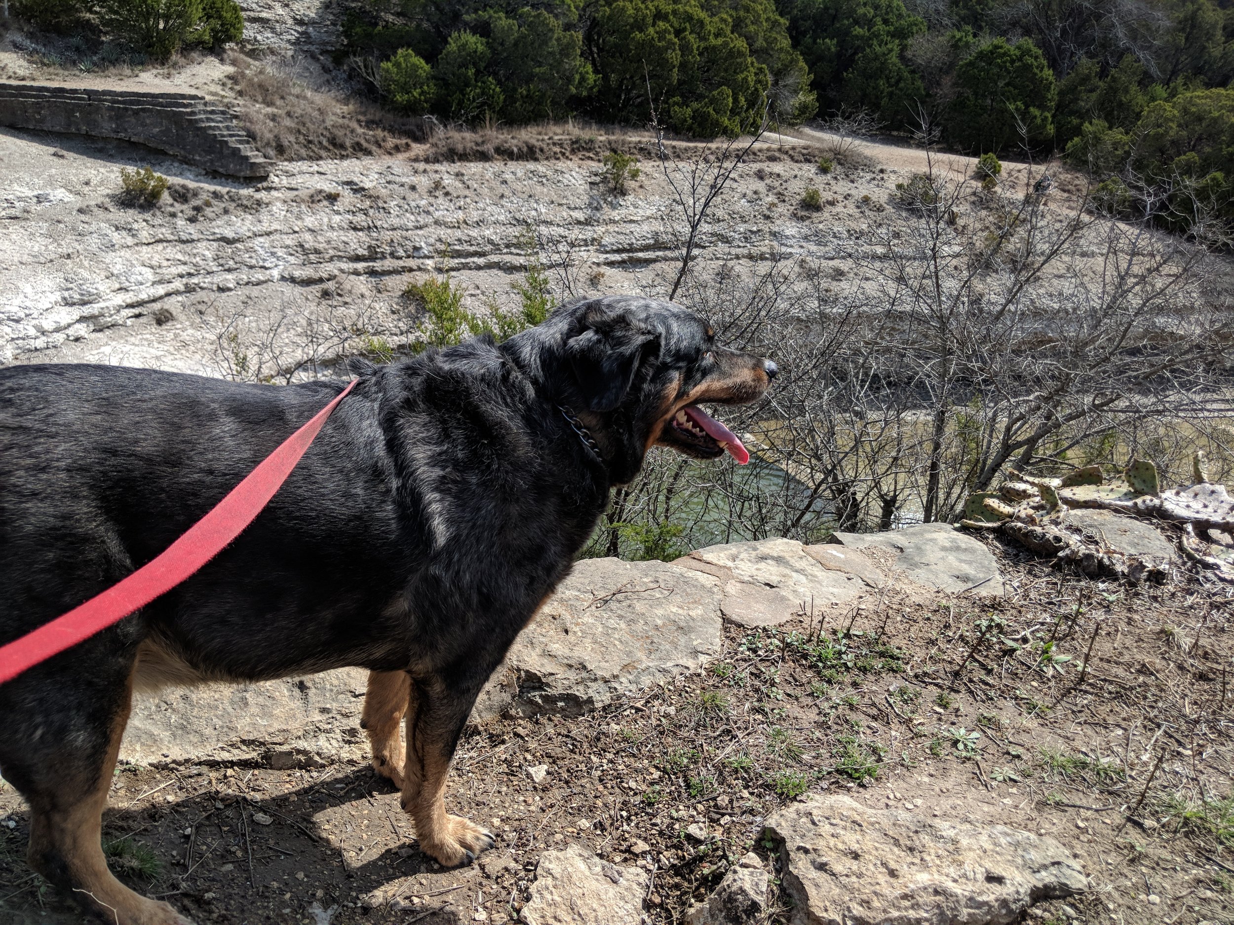
#hike10 - Eagle Mountain Park

Date: March 17, 2018

Location: Eagle Mountain Park - Fort Worth, TX

Distance: 7.54 miles

Trails: All major trails

The new apartment is about 20 minutes closer to Eagle Mountain Park, which is good news because I LOVE hiking there and will likely make it my "go to" when I can't get somewhere more adventurous.  My other half and I arrived about 8:30 am and it was already packed.  We set out on the two northern trails before moving to the larger, southern loops.  The northern trails were a good start, with less people and more wildlife.  Once we made our way to the southern trails, we encountered more people, less wildlife, and I found myself wishing we lived in a remote town somewhere with nearby mountain trails.

Spring was in the air throughout the park, with buds and blooms at every turn.  Deer were feeding a few yards from the trail, and people were mostly in a good mood.  The lake was high and people were out fishing along the shoreline.  The morning was beautiful with partial sun, a light breeze, and somewhat warm temperatures.

Eagle Mountain Park - Takeaways from this hike

  • If you want to avoid crowds, get there before 7:30am (I've said this before, so I'll say it again)
  • Do all the trails to get between 7-8+ miles
  • Watch out for offshoot trails that deteriorate the landscape - STAY ON TRAIL.  It can be difficult to determine where to walk, because things are so far gone in places, so stick to the path most traveled.
  • See my post from a previous hike HERE

Happy trails everyone!

    #hike9 - Fort Worth Nature Center & Refuge

    Date: March 10, 2018

    Location: Fort Worth Nature Center & Refuge - Fort Worth, TX

    Distance: 4.7 miles

    Trails: Canyon Ridge Trail

    My friend Megan met up with me and we went out to the Nature Center to hike it up on Saturday morning hike number nine.  It was a mild morning with partial sun, and not a huge crowd to start out, which is always a good sign.  I love the Canyon Ridge Trail for the hills and the views, but today it was even better with new leaves and flowers for spring.  We spent the 4.7 miles, there and back, discussing life and reminiscing about recent events - time flew by.  I always enjoy hiking with friends or family, so if anyone wants to connect out on the trail, hit me up!  By the end of our time, it was a pleasant 75 degrees and the sun was shining down.

    Things to know about the Fort Worth Nature Center & Refuge/Canyon Ridge Trail:

    • Get there early if you'd like to start your hike with fewer people.  If you don't mind crowds, wait it out for a later start.  We started at 8:30 with two cars in the lot and ended with people parking down the road at 10:30-11.
    • There are plenty of other trails, but Canyon Ridge offers a variety of things from old building ruins to views of Lake Worth to minor elevation changes that challenge your legs.
    • It is $5/person to get in, and they DO accept credit/debit cards.

    Fun story: We were at this old rest shelter, and saw another one down a trail (probably not Leave No Trace) so we delicately went to check it out...only to find tons of wasps.  I ran so fast away, there was no time for photos or to make sure Megan was okay - she was.  We avoided any bodily harm and had a good laugh about it once we stopped running.

    I hope you all got outside this weekend if you wanted, and if not, hopefully soon!  Enjoy your week and happy trails!
    #hike8 - Cleburne State Park

    Date: March 3, 2018

    Location: Cleburne State Park - Cleburne, TX

    Distance: 6 ish miles

    Trails: Fossil Ridge, Coyote Run, Limestone Ridge, White Tail Hollow, Lake trails 

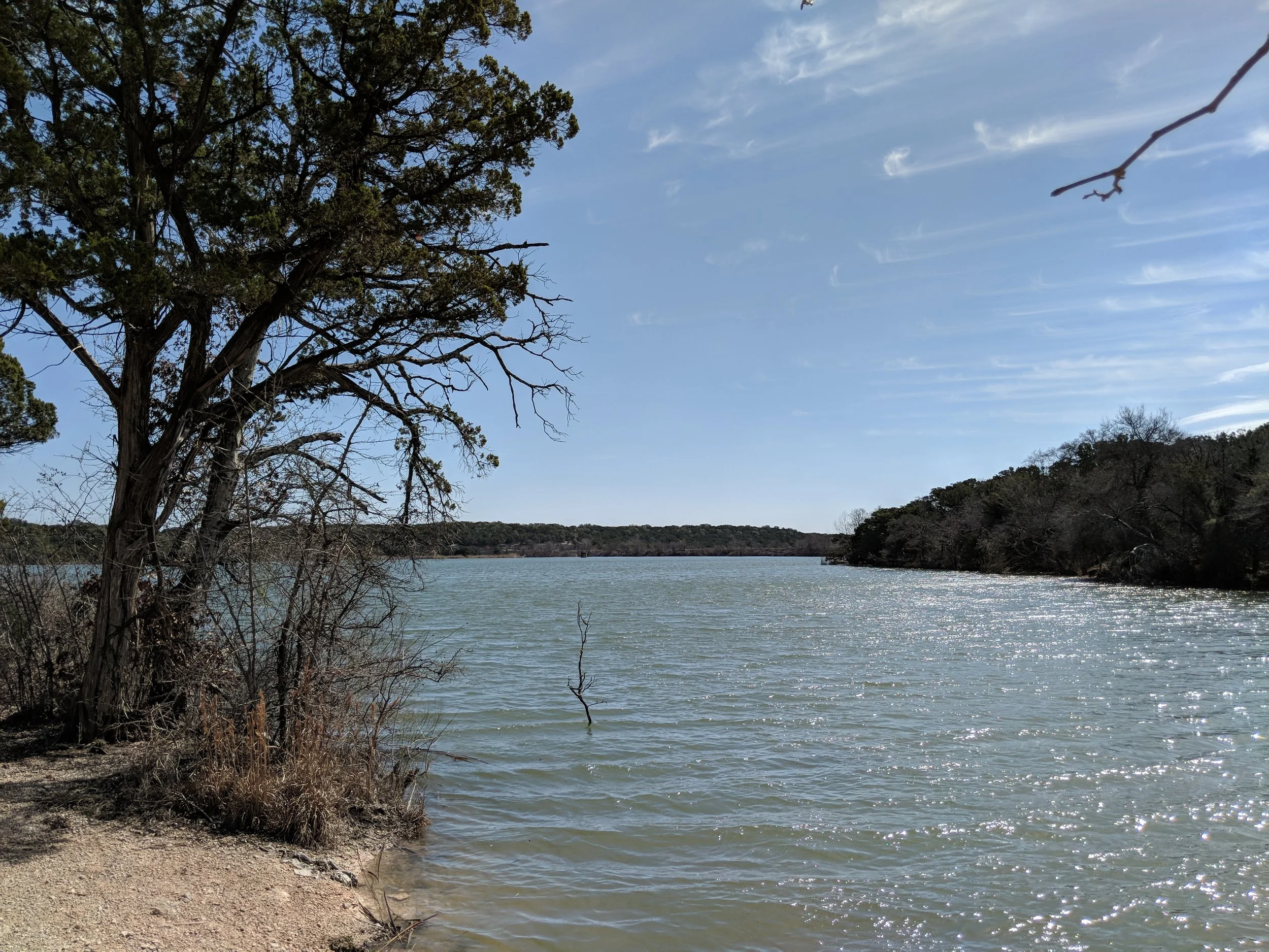
    I was lucky this weekend - my family was camping somewhere and my aunt wanted to hike.  I jump at the chance to hike with someone, so I drove down to Cleburne State Park and we hit the trails Saturday morning.  I had been there before in 2017, but we did a little more than I did my first time and I saw a different side of the of the park.

    We decided to do the rim around the park, a series of trails that went along the fence line.  We started out near the entrance and went about a mile up then decided to hike down the shoreline of Cedar Lake and across the old CCC dam to the spillway.  Since my aunt was camping, we walked back to the car along the west side of the spillway and then drove back to the campsite to refresh our water supply.  We walked from the campsite to the Coyote Run trail head and then hiked down the east side of the lake to the scenic lookout, and back to the camp.  This part of the hike was new to me and was surprisingly hilly and shaded, which was nice.  I still managed to get a sunburn on my neck and arms, so always wear your sunscreen.  Near the spillway I spotted a guy across the way and I thought it was a #parkchat/#gearmeout/#hikerchat friend, and sure enough at the bottom of the hill I run into Mr. Gibby himself.  It is a real treat to run into familiar faces and something I hope happens more often.

    Some Cleburne State Park takeaways:

    • It is quite hilly, gentle hills, but hilly... be prepared!
    • Walking along the lake is good for refreshing breezes, so keep that in mind
    • If you wait til late spring you'll see tons of flowers

    State parks keep me sane here in Texas, and I'm forever thankful for them.  I renewed my annual pass on Saturday so I'm good to go again through 2019 and I highly recommend the annual state park pass here in Texas if you're a frequent visitor or bring a car full of people with you each time.

    See you on the trails!
    #hike7 - Cedar Ridge Preserve

    Date: March 1, 2018

    Location: Cedar Ridge Preserve - Dallas, Texas

    Distance: 4 miles

    Trails: Cedar Breaks, Fossil Valley, Escarpment 

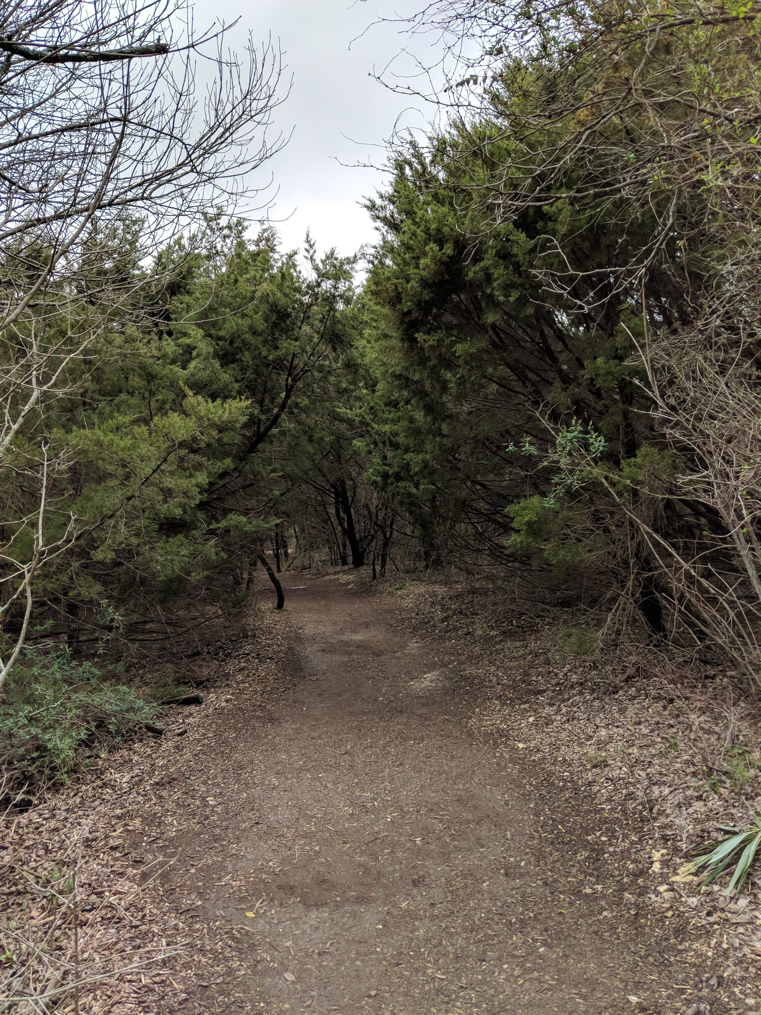
    It had been 18 days since I hiked.  That is a VERY long stretch for me.  Between being sick with an upper respiratory infection, a massive work project,  and the torrential rain we received I was just unable to get out there.  BUT, Hike 7 revived my spirit.  The cedars/junipers were still wet, so the bark was dark, and it looked like a completely different forest than the one from Hike 6.  The trails were wet and muddy, but passable.  Chewy the dog and I were covered in mud after four miles, but it was worth it.  It is no surprise that getting out on the trail makes me feel invigorated and Hike 7 was no exception.  I can't wait to get out again for Hike 8 on Saturday and maybe even a Hike 9 on Sunday if there is time.  I hate being behind, but at least my excitement is renewed.  My  hope is that the weather cooperates and that you all have happy trail ahead!