
2024 Hike 3: White River Falls State Park
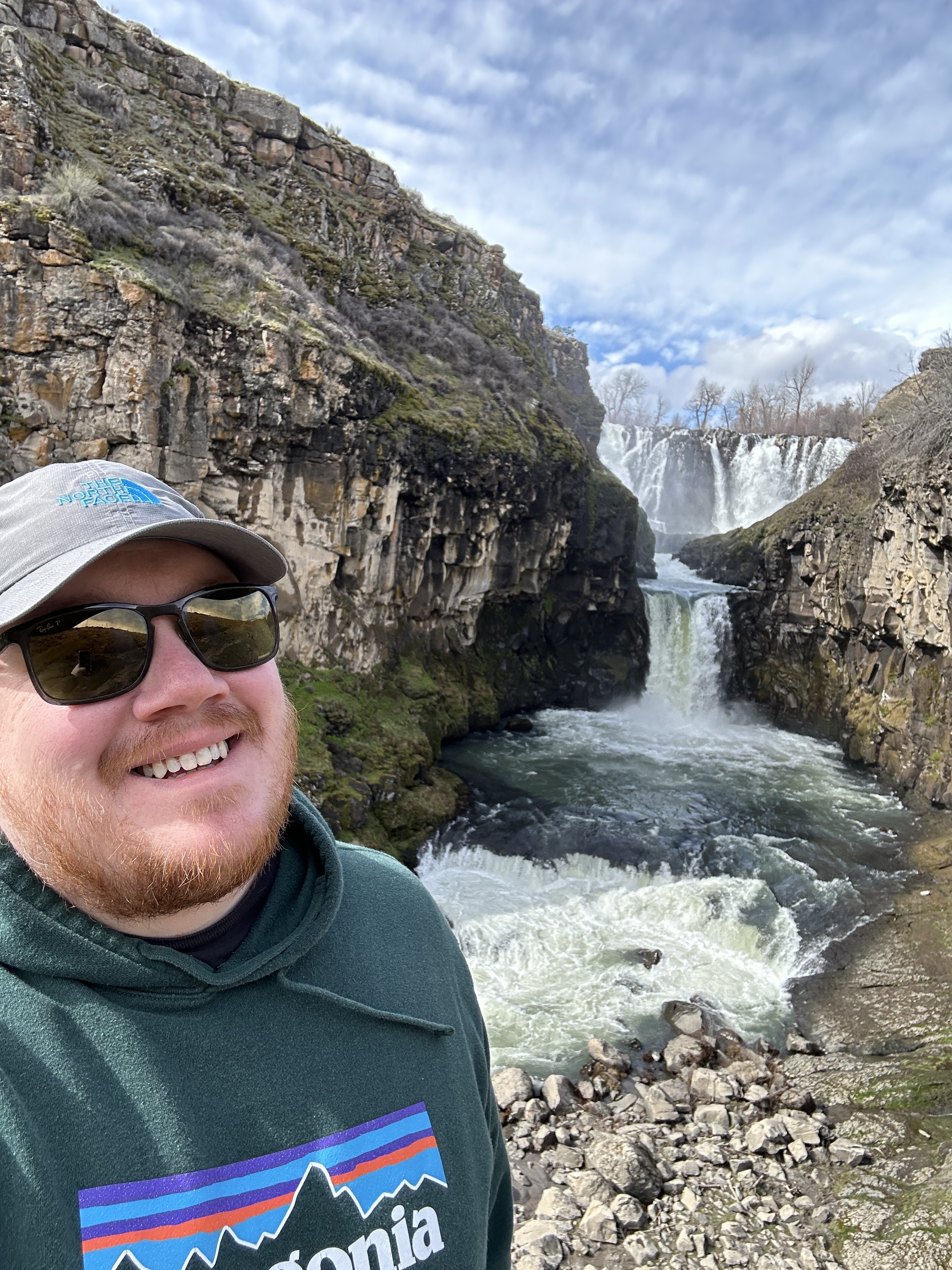
Located about a hundred miles east of Portland is a magical place called White River Falls State Park. From Portland, you can take the freeway through the Columbia River Gorge or the highway that snakes up and around Mt. Hood. Once you’re at the park, you’ll notice it’s not your typical Oregon terrain.
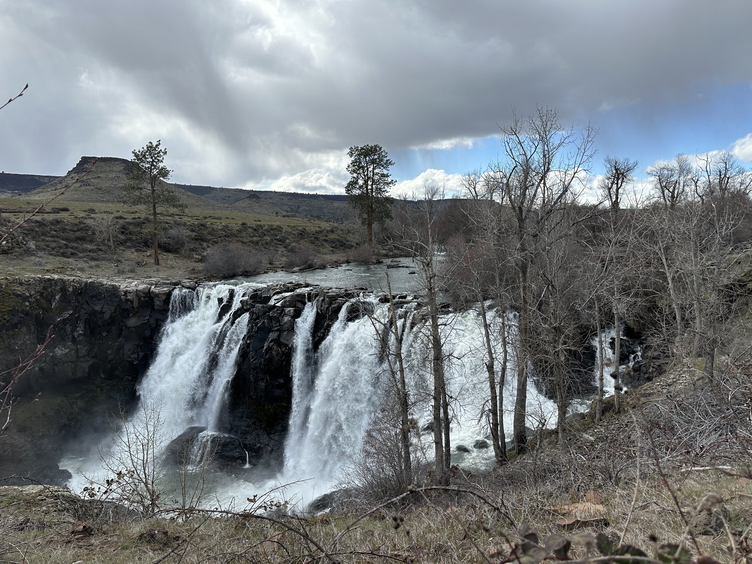
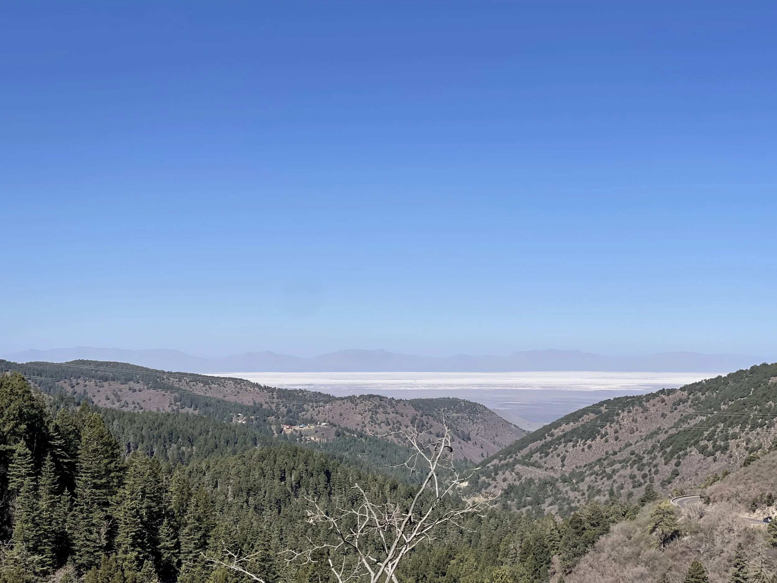
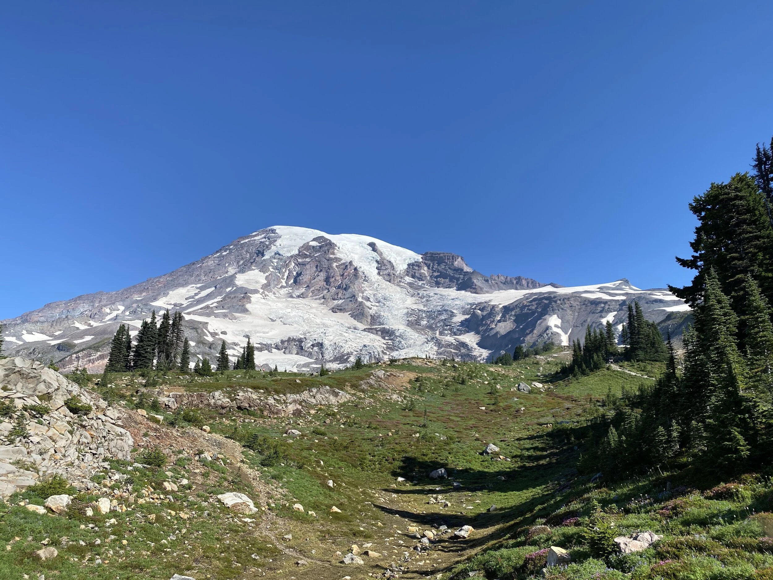
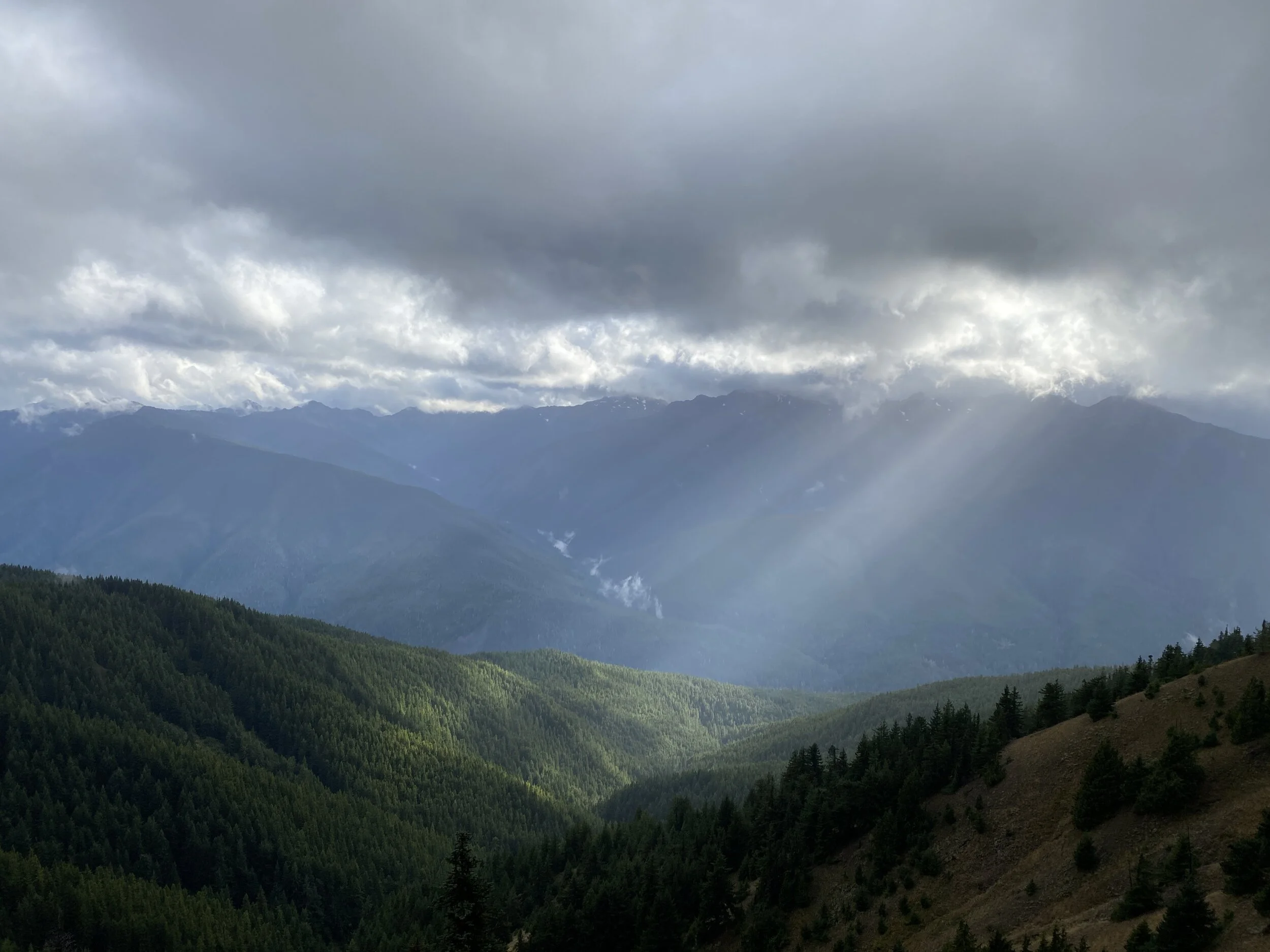
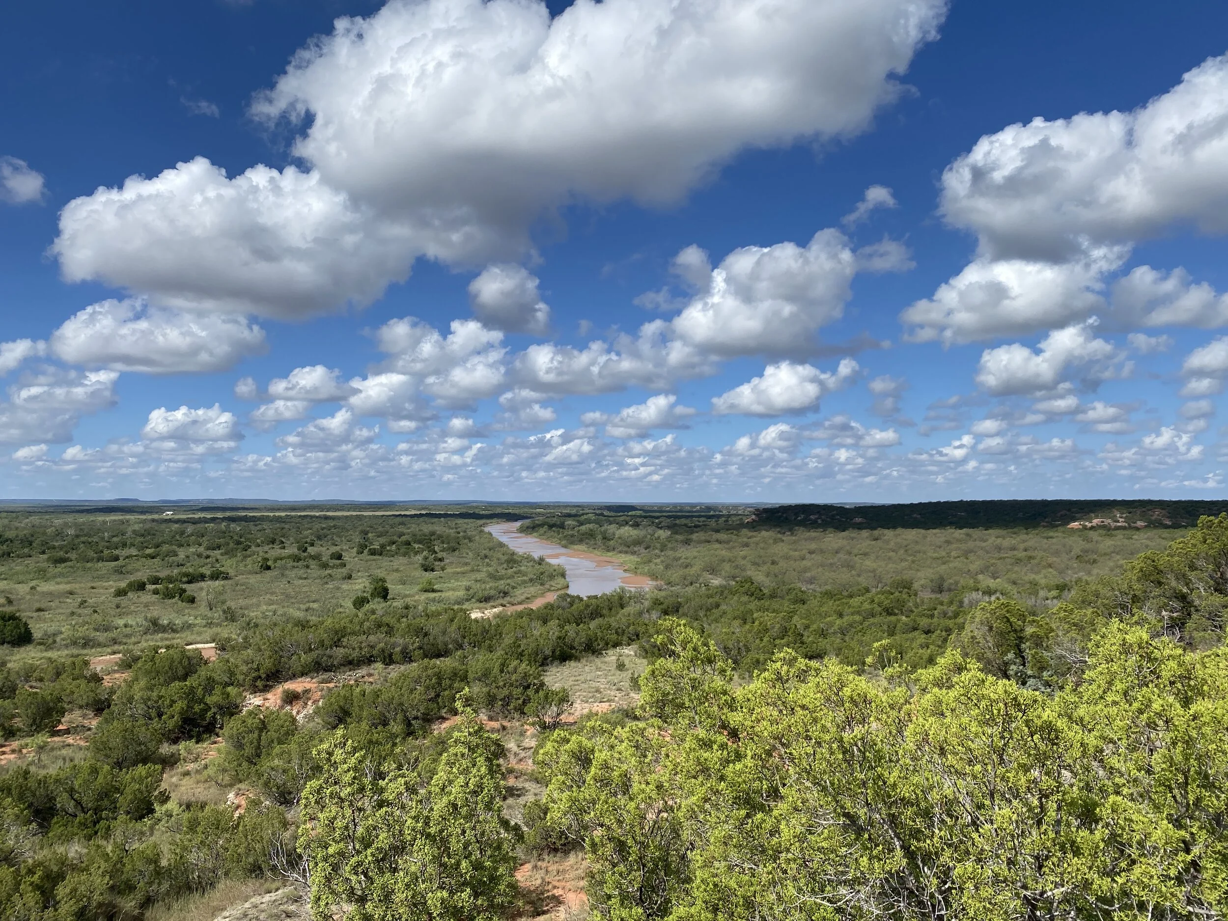
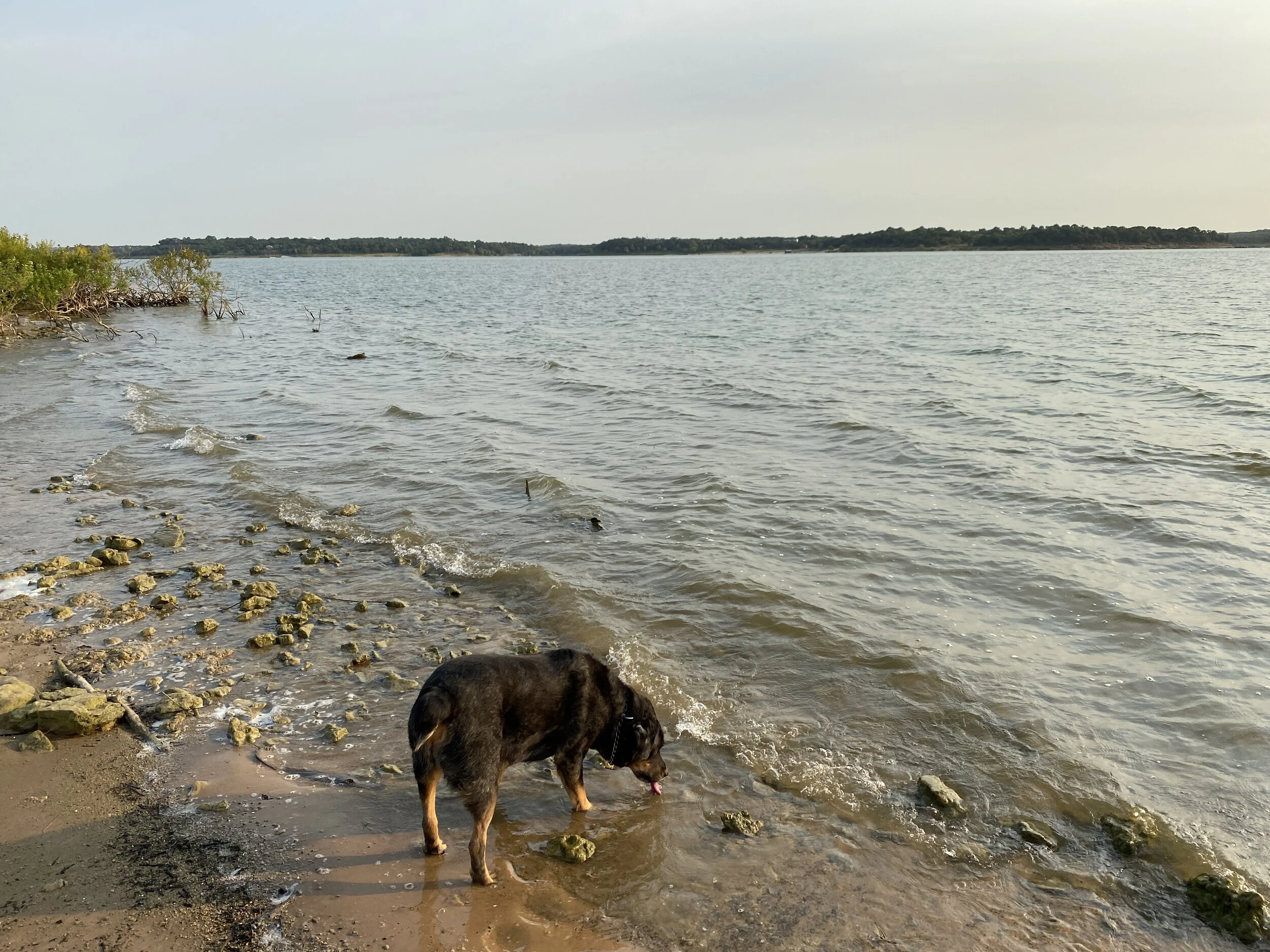
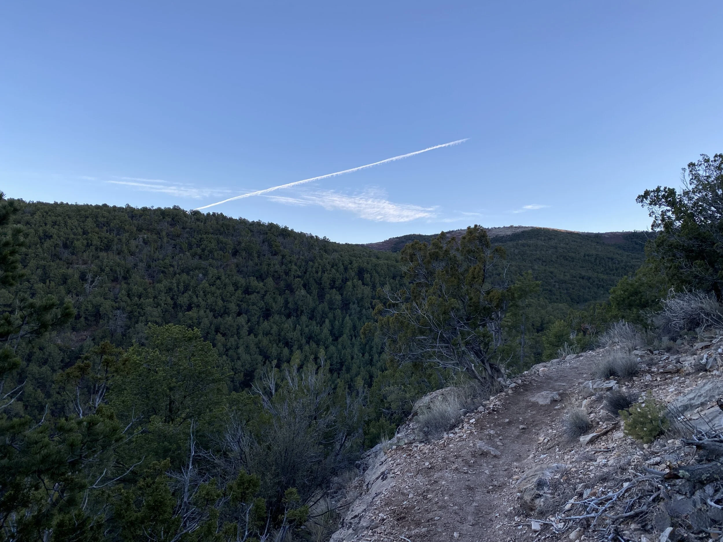
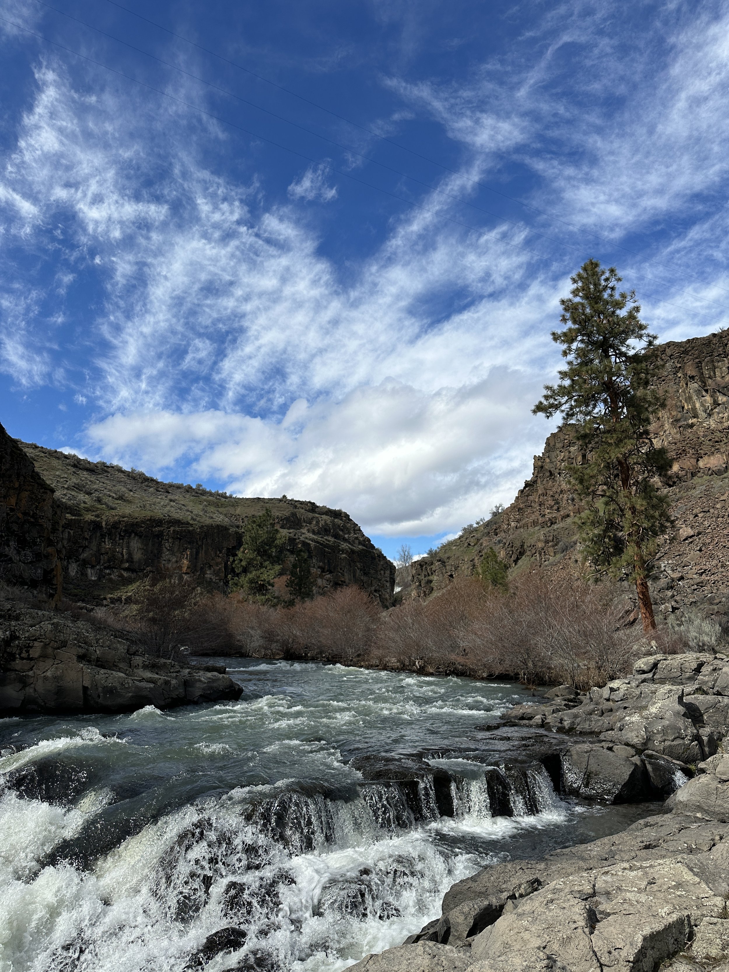
View from the observation area
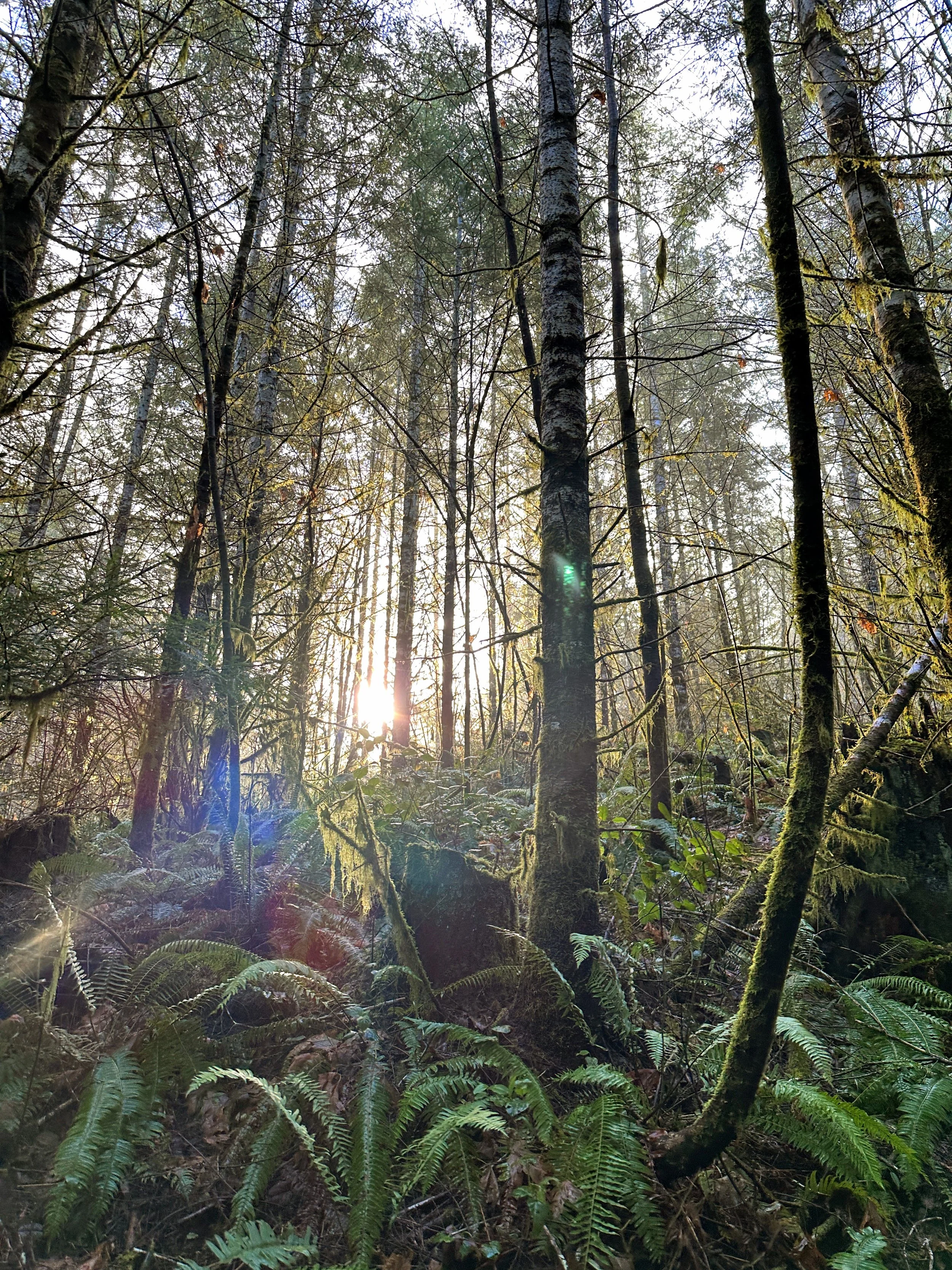
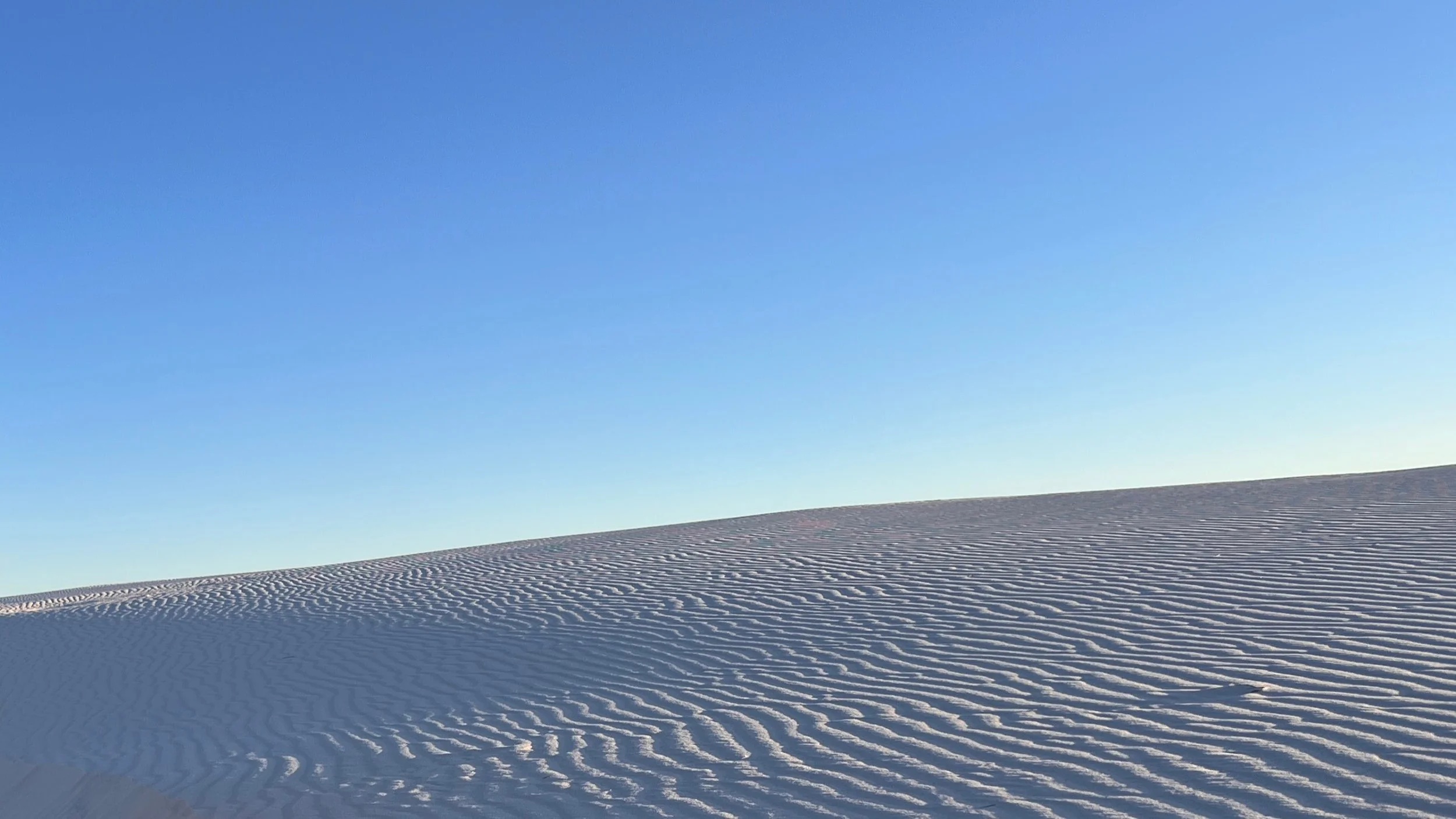
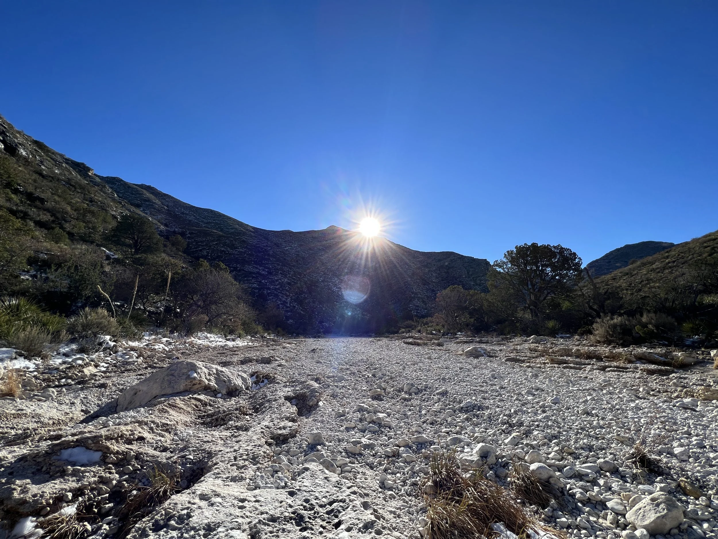
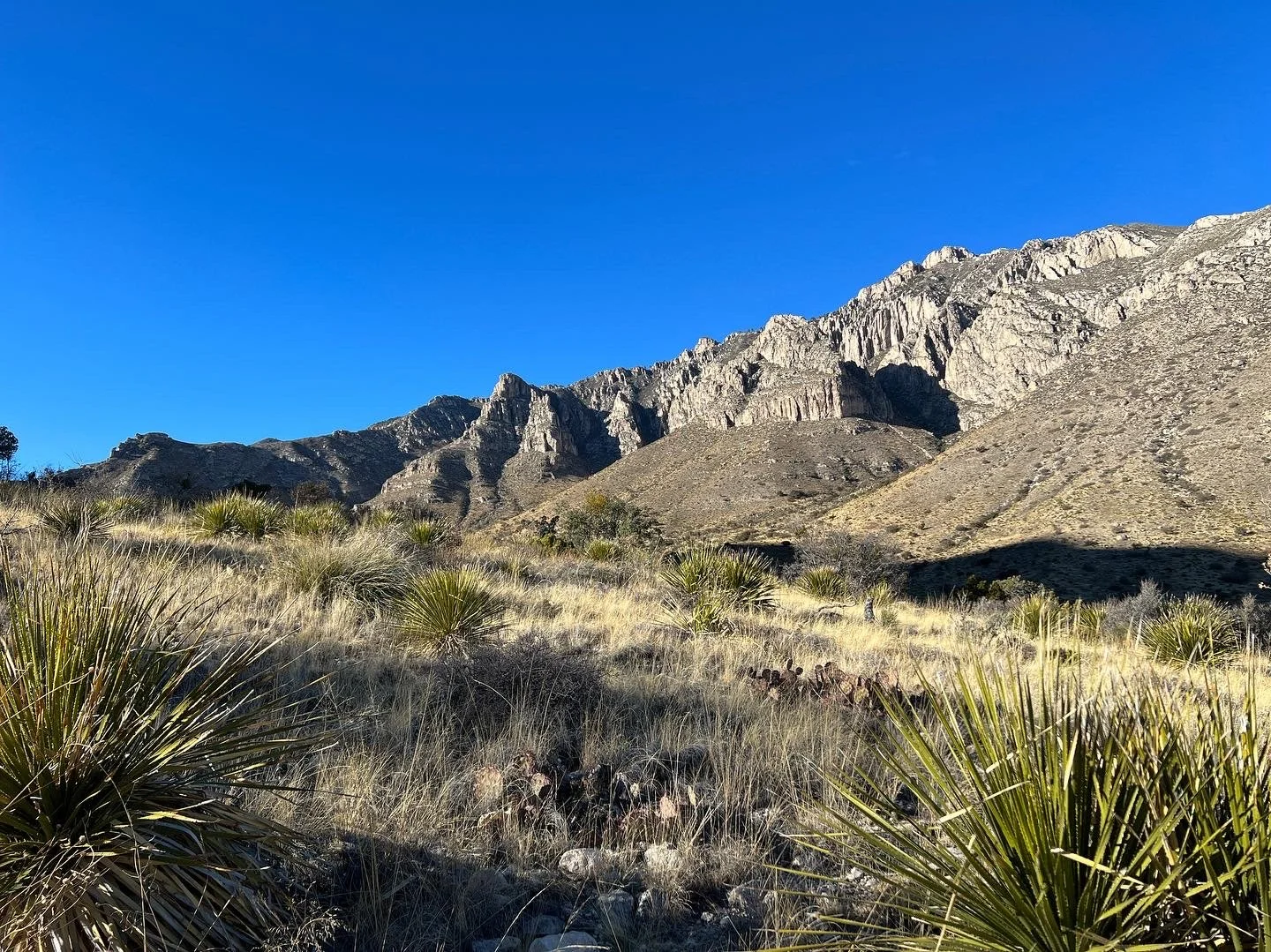
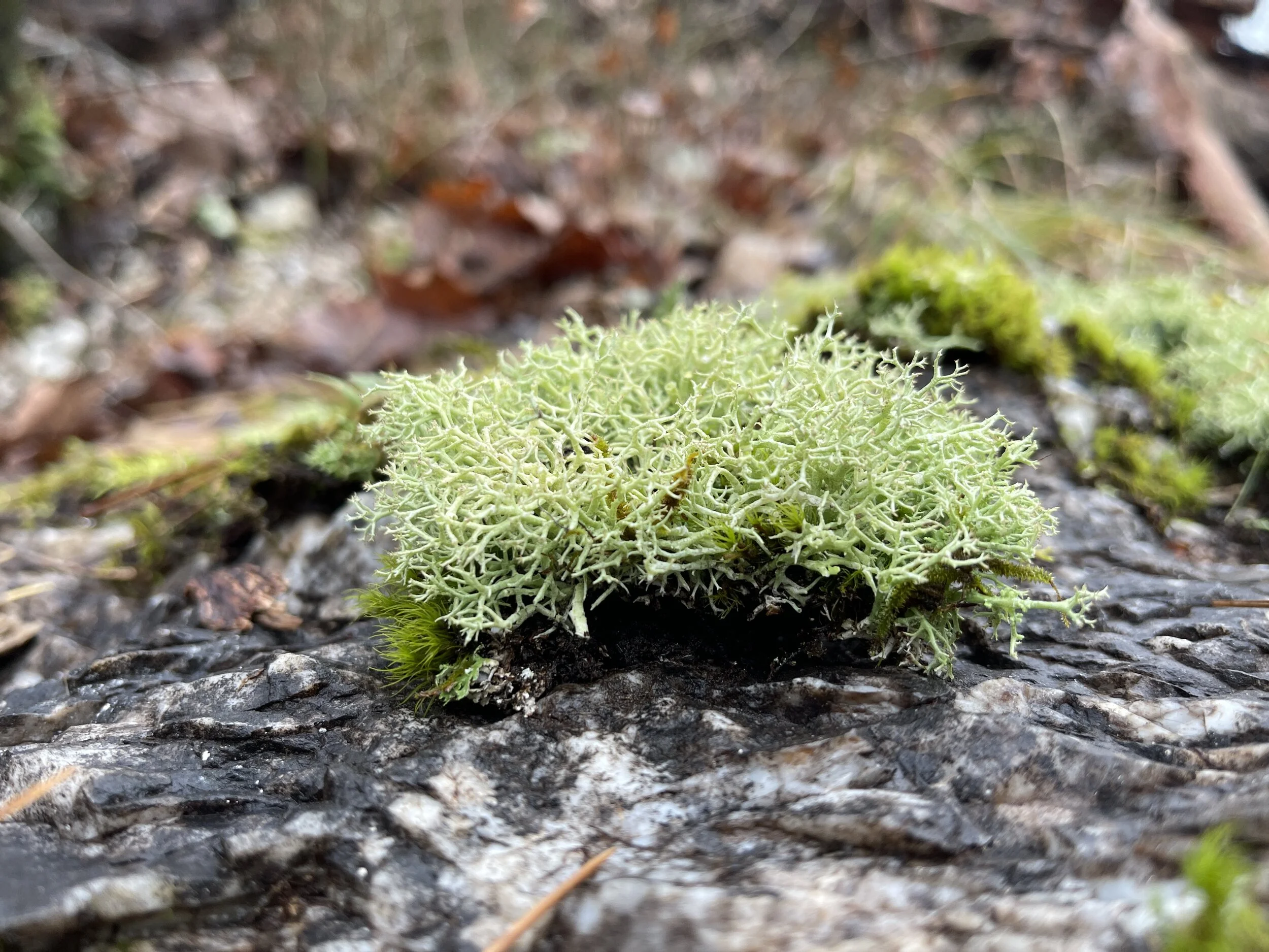
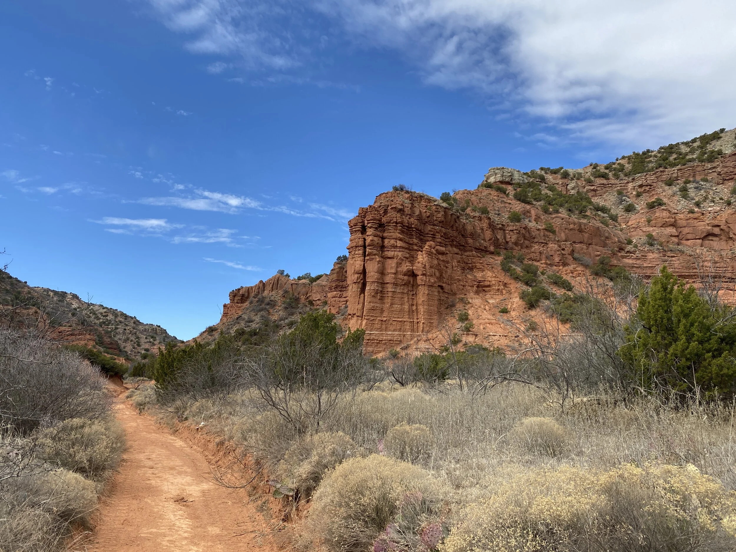
The area felt a little more like New Mexico or Northern Nevada to me than Oregon, and I’m excited if this i the gateway to the eastern part of the state where the desert is located.
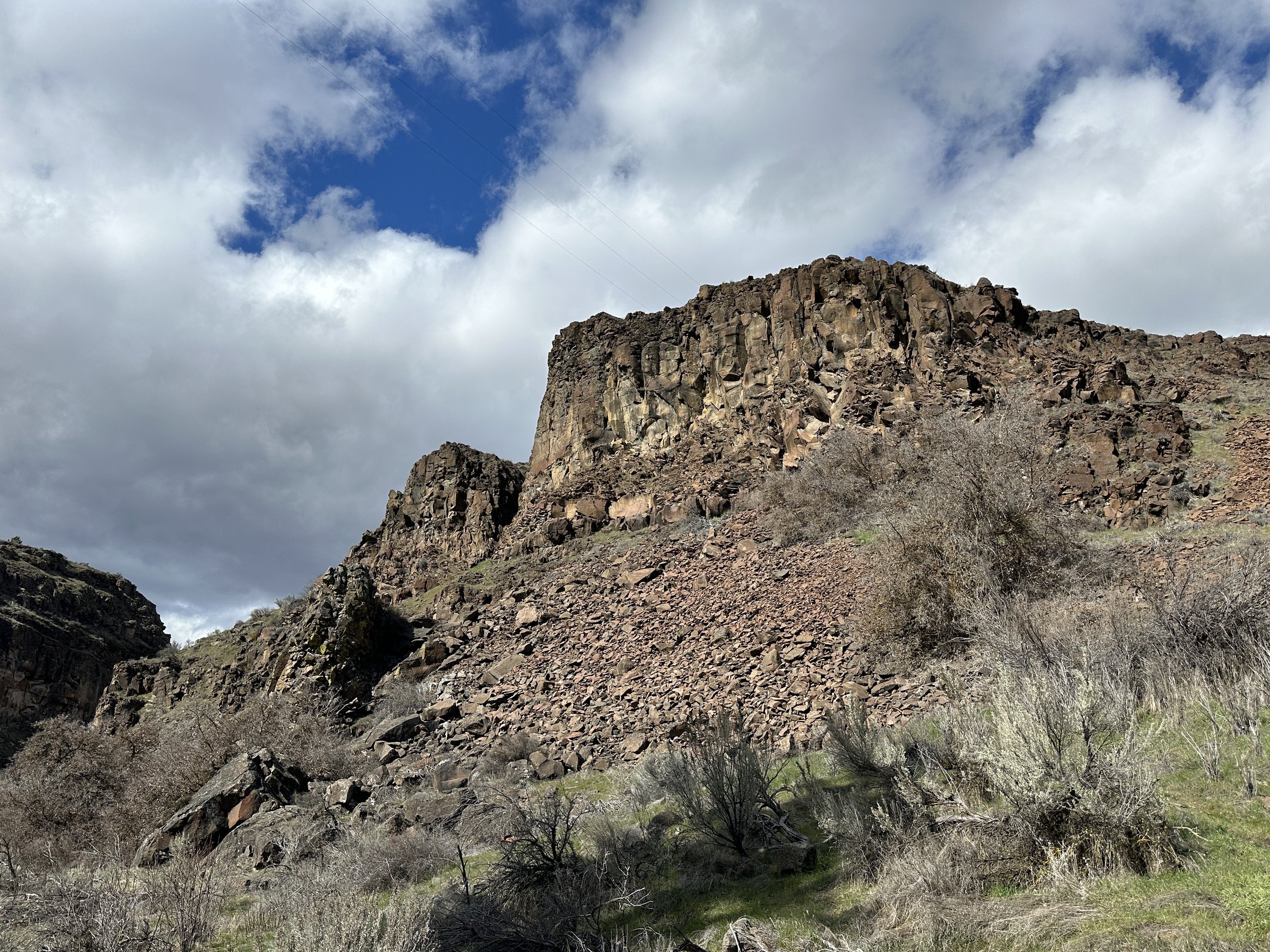
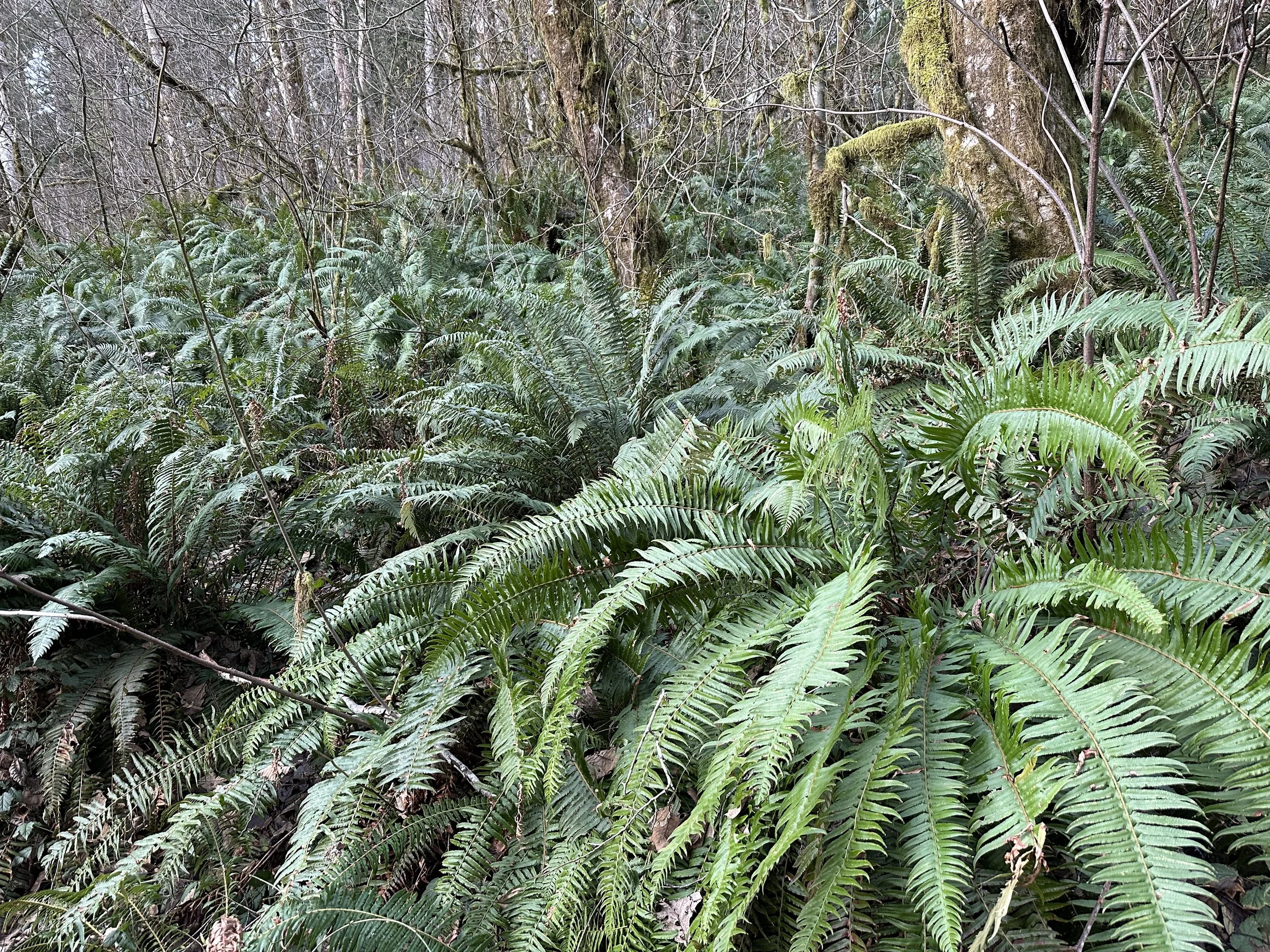
Not your typical Oregon terrain
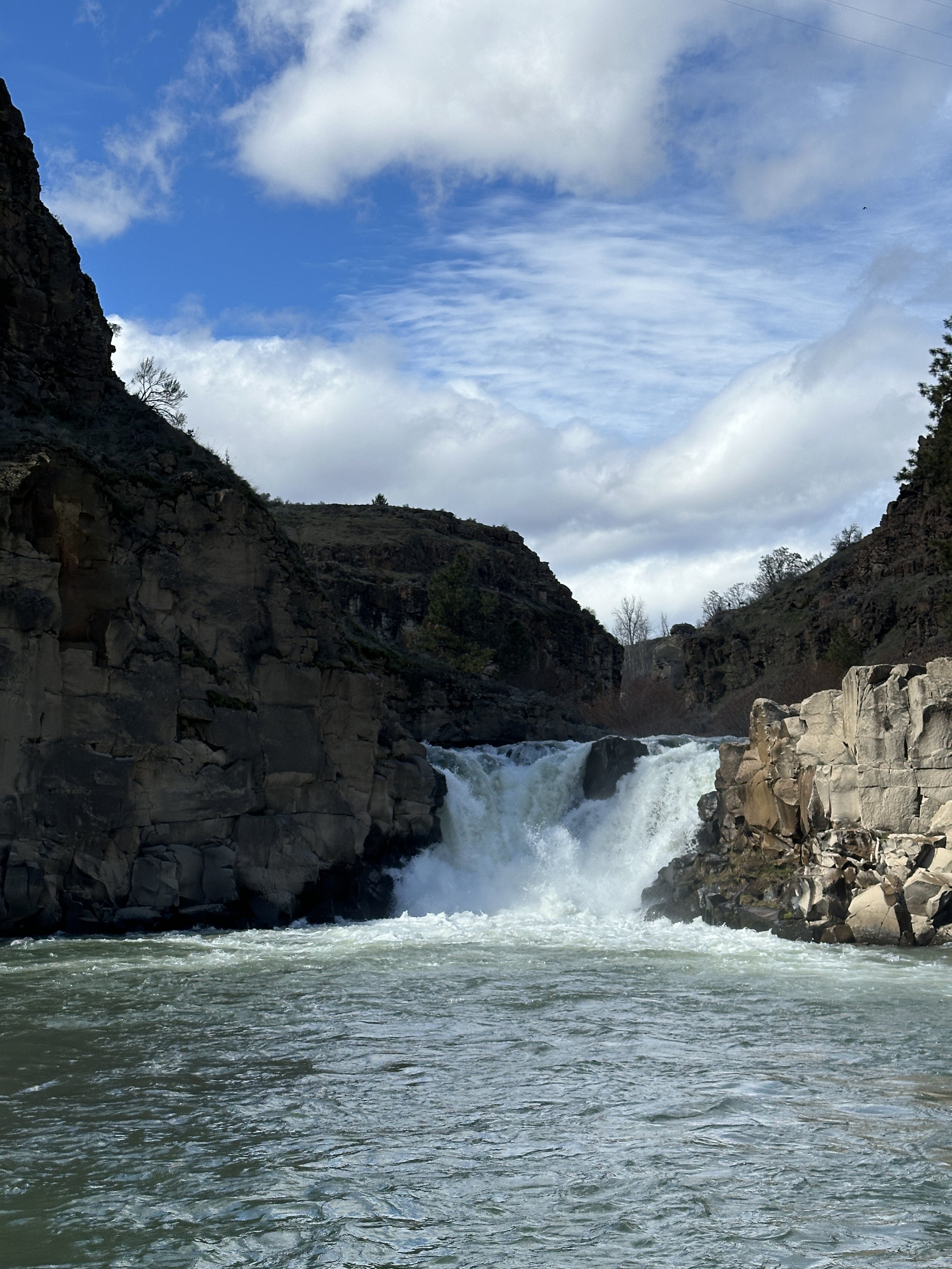
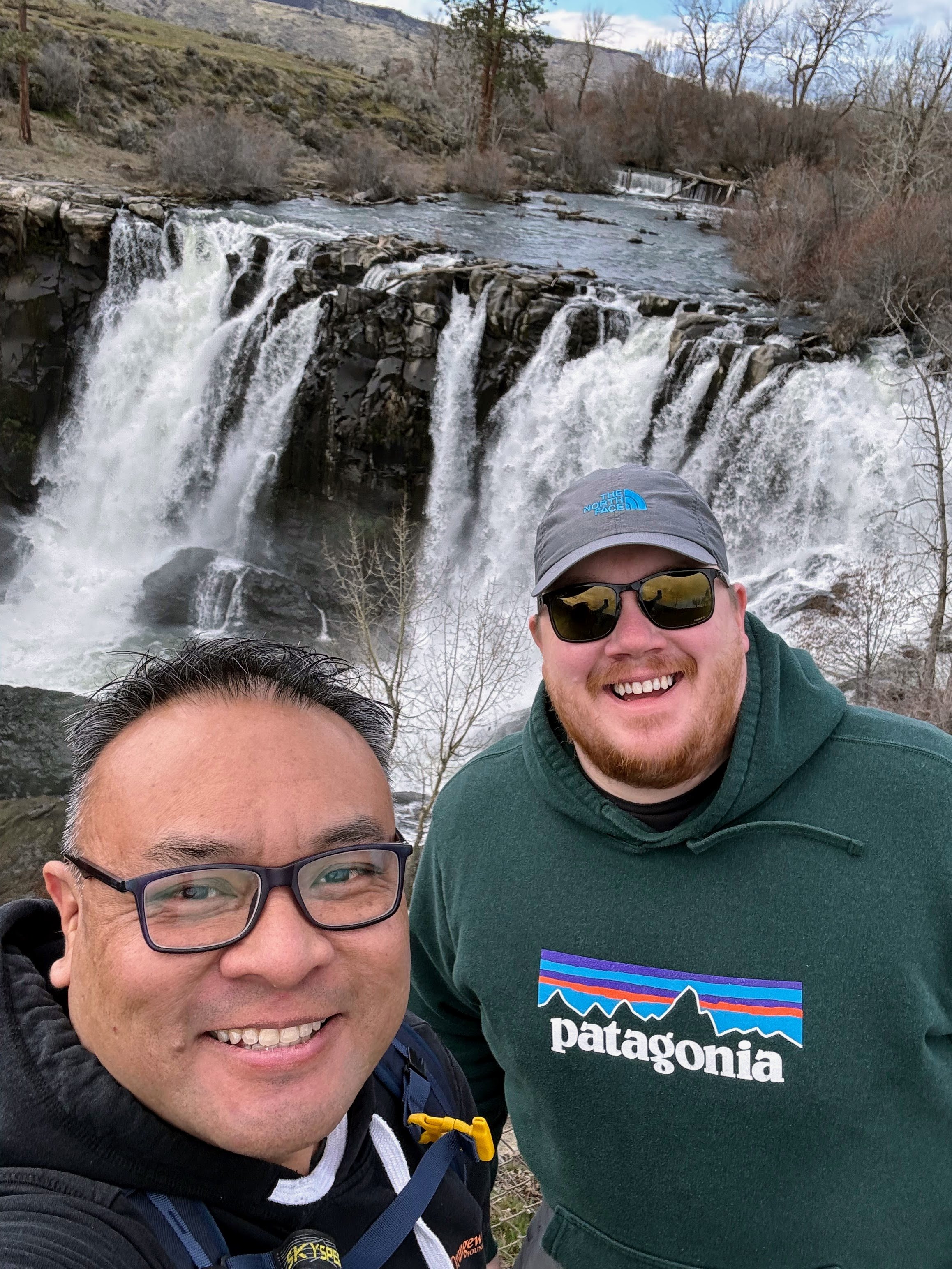
The park has two parking lots, one is only open seasonally. There are bathrooms and a little picnic area. The highlight, obviously, is the viewpoint to see the main falls area. There’s a huge area with a fence to see the roaring waterfall.
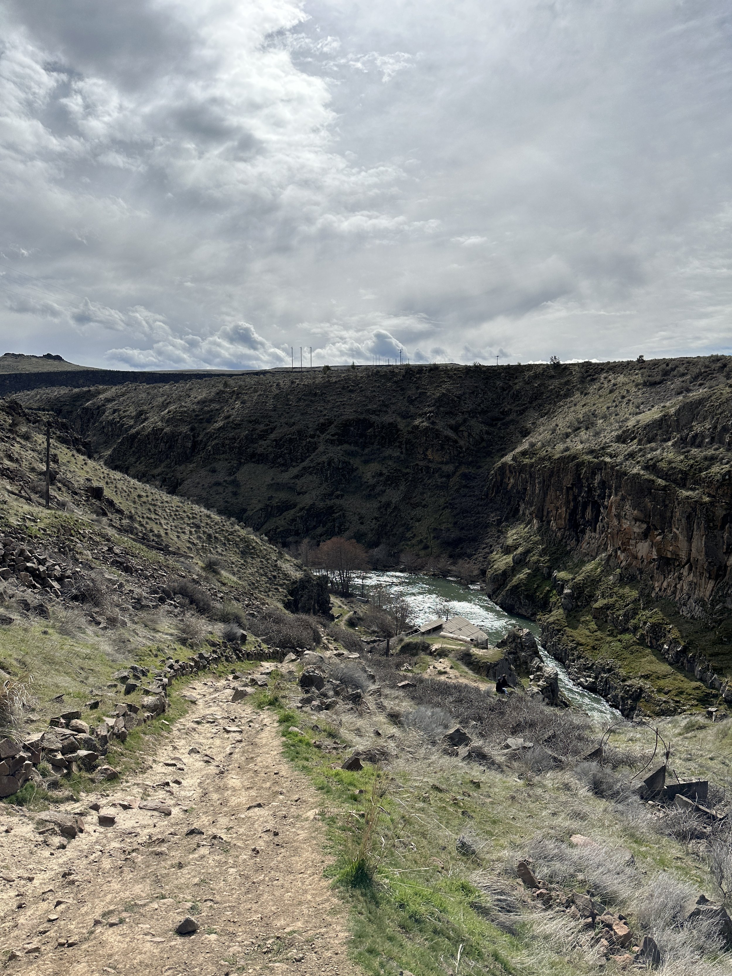
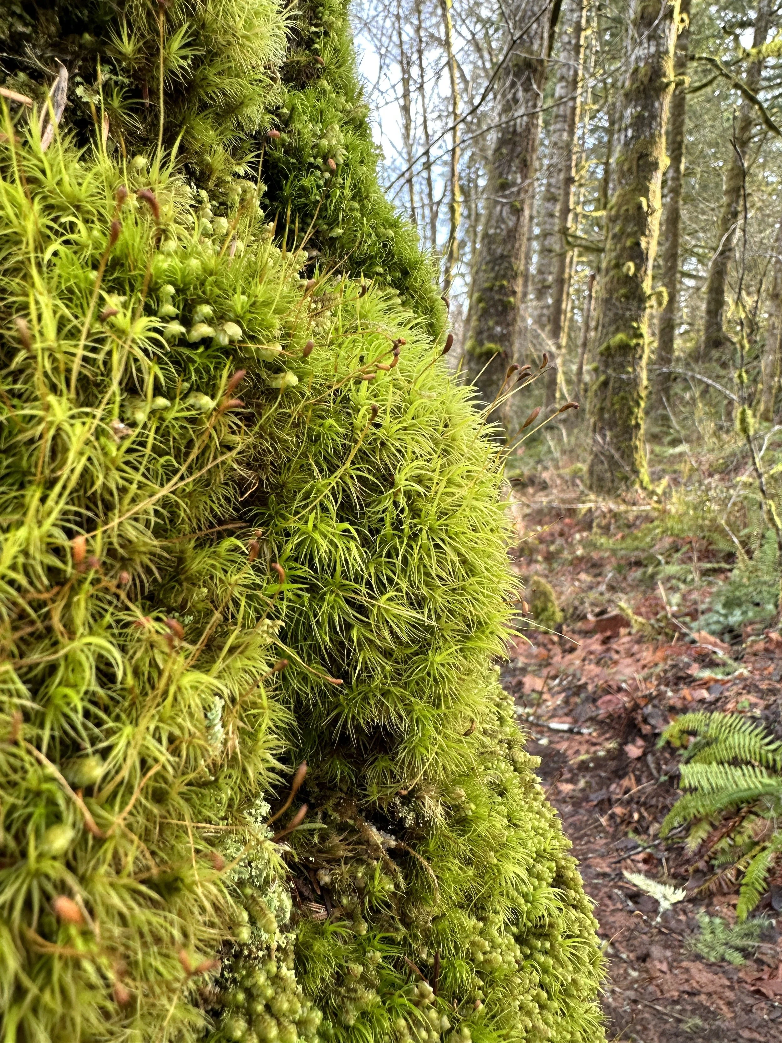
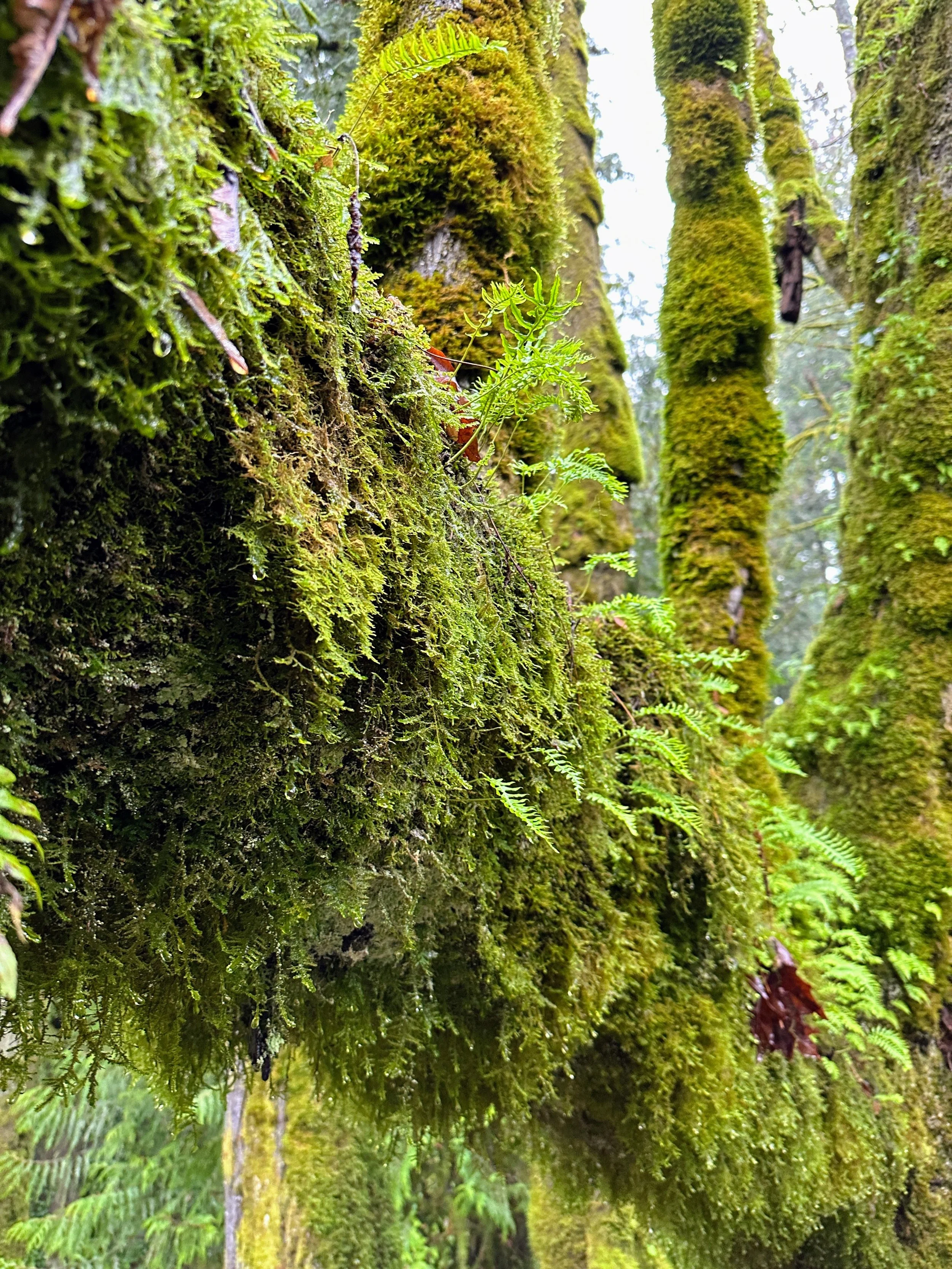
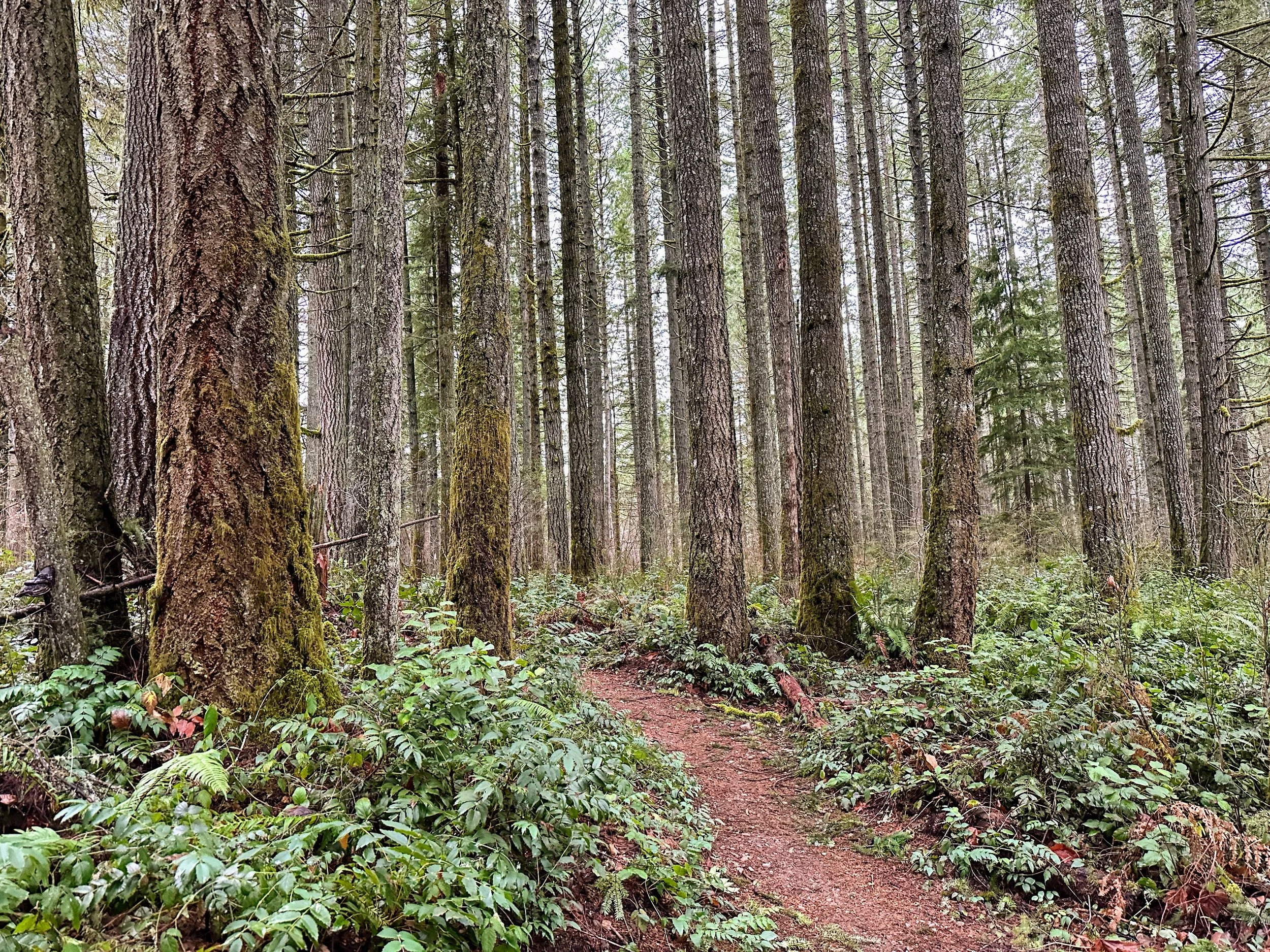
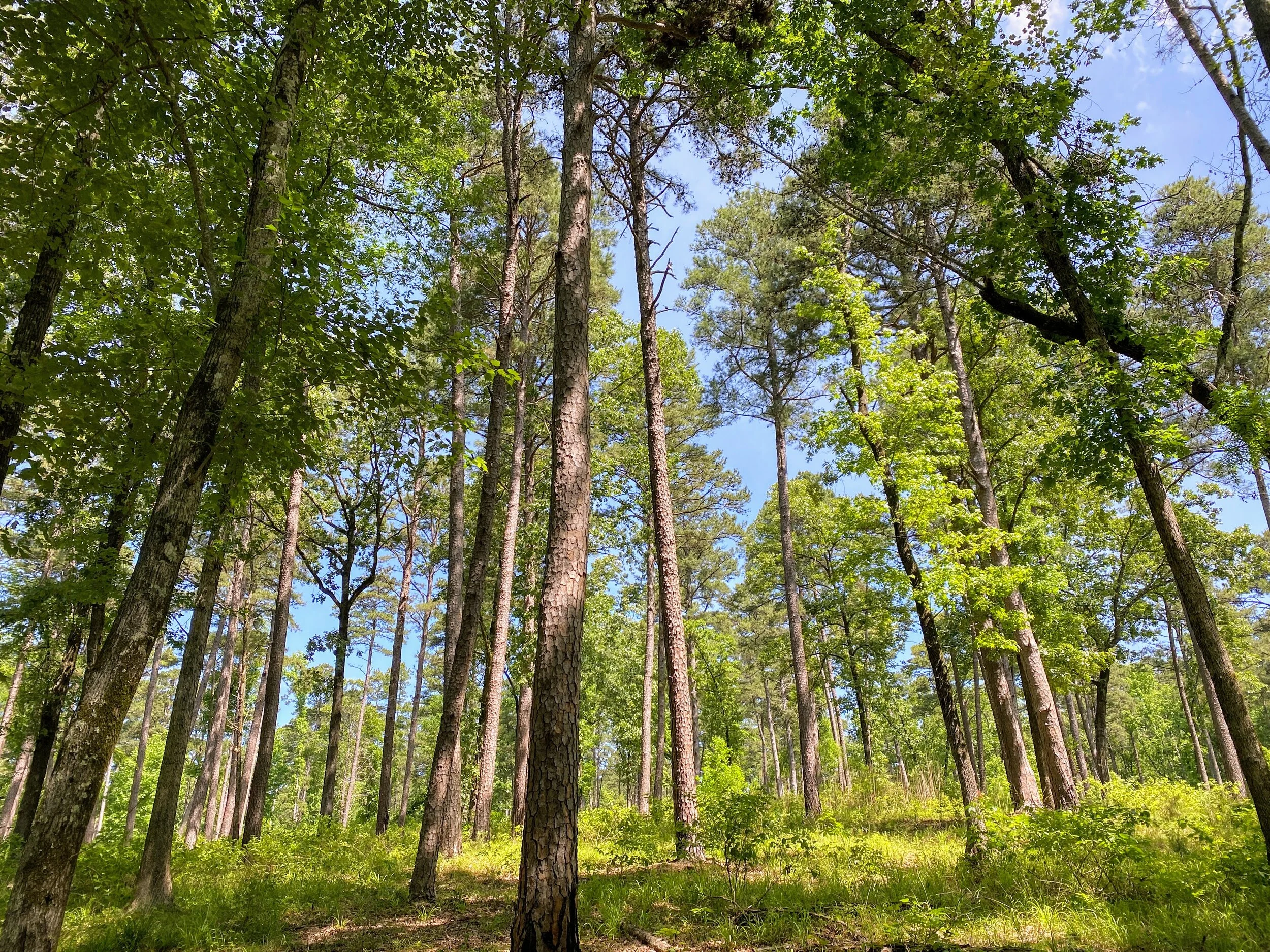
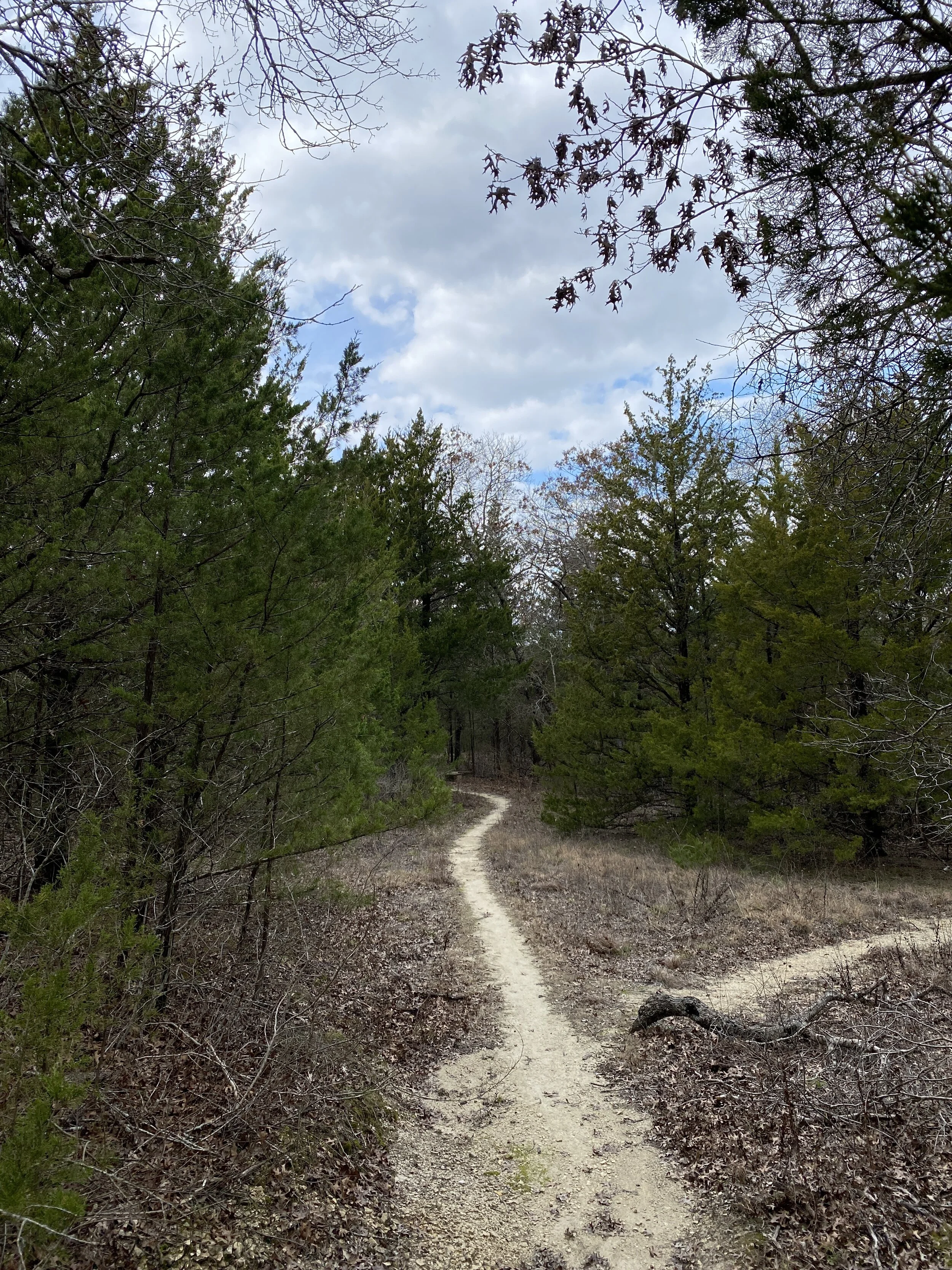
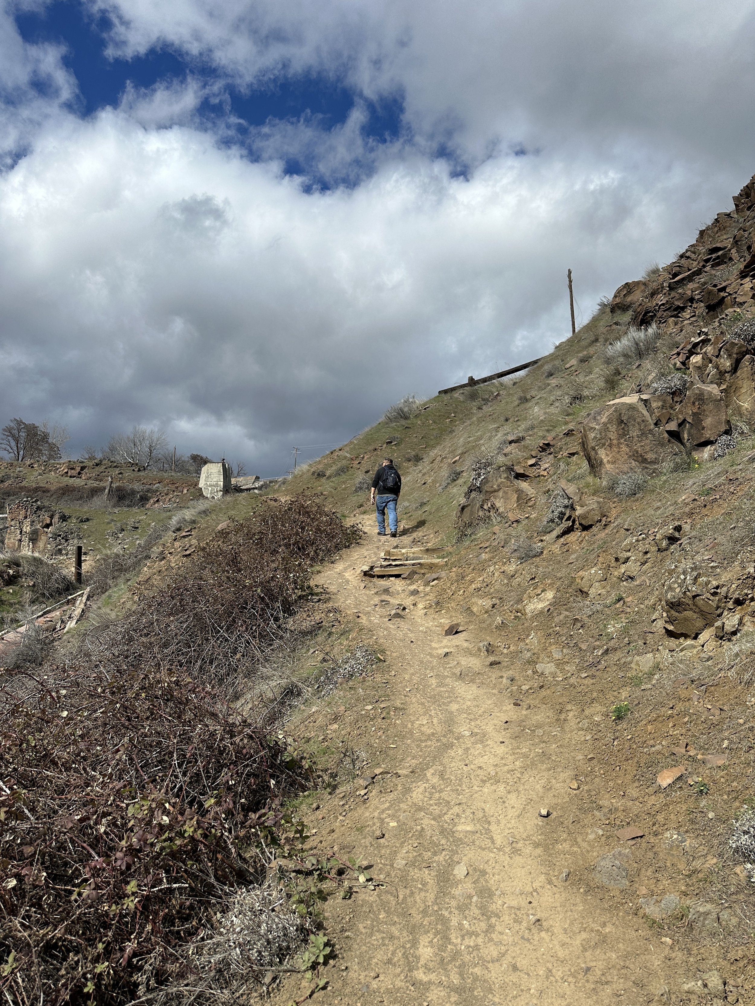
The trail down
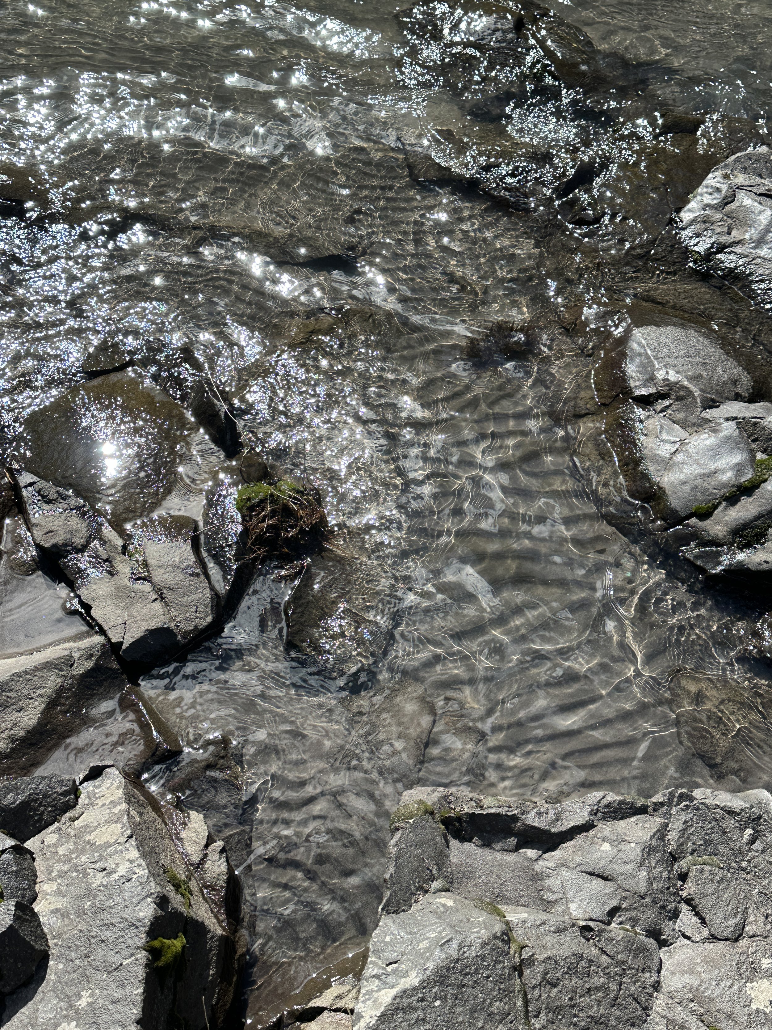
Take the trail, and follow it down to into the canyon, and you’ll see the falls from a new angle with a new waterfall added in. Keep going, along the river, and you’ll see the lower falls and subsequent rapids downstream. Take the walk and sit by the edge of the river. Take in the sounds and sights.
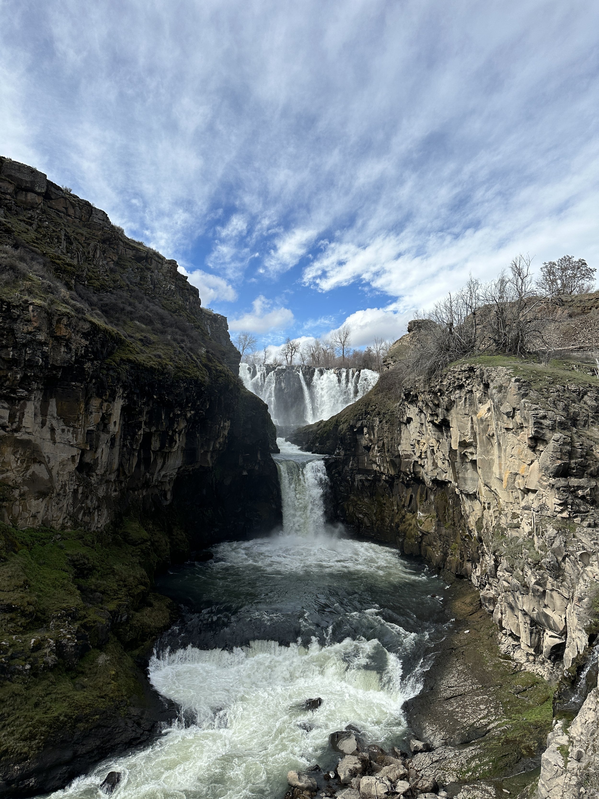
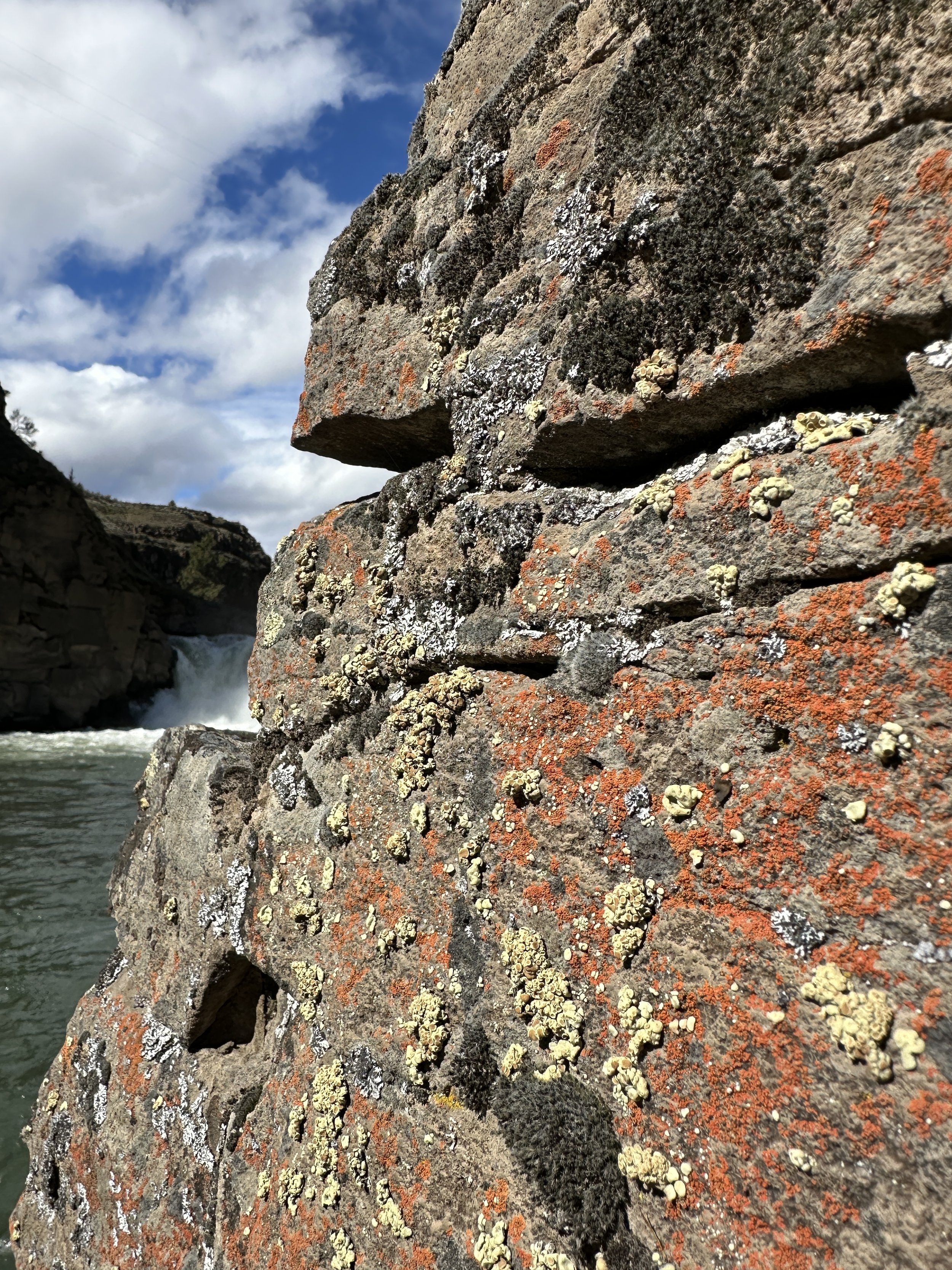
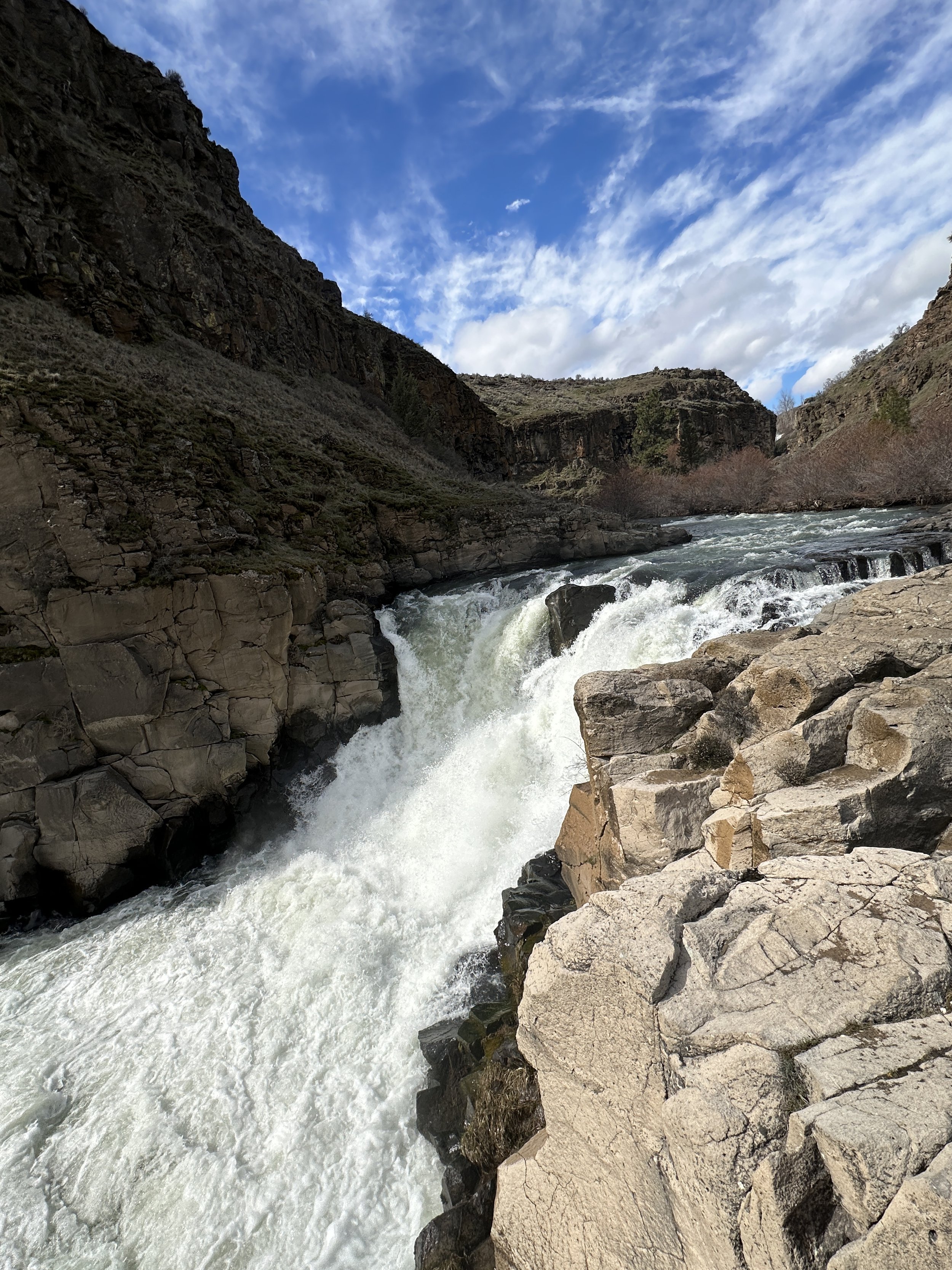
A View of Celestial Falls (with the main falls in the background) at about 1/3 of the way down the trail
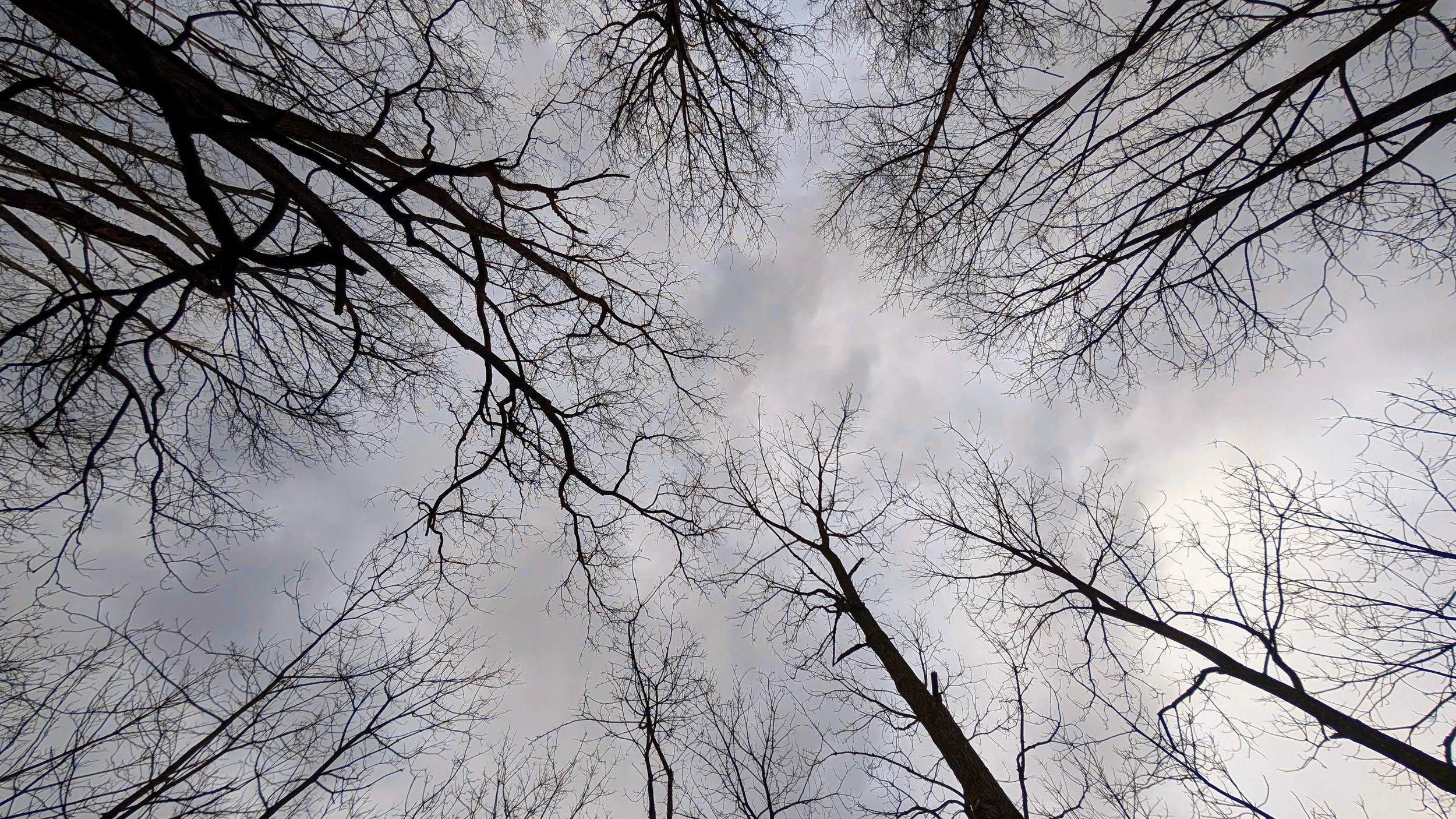
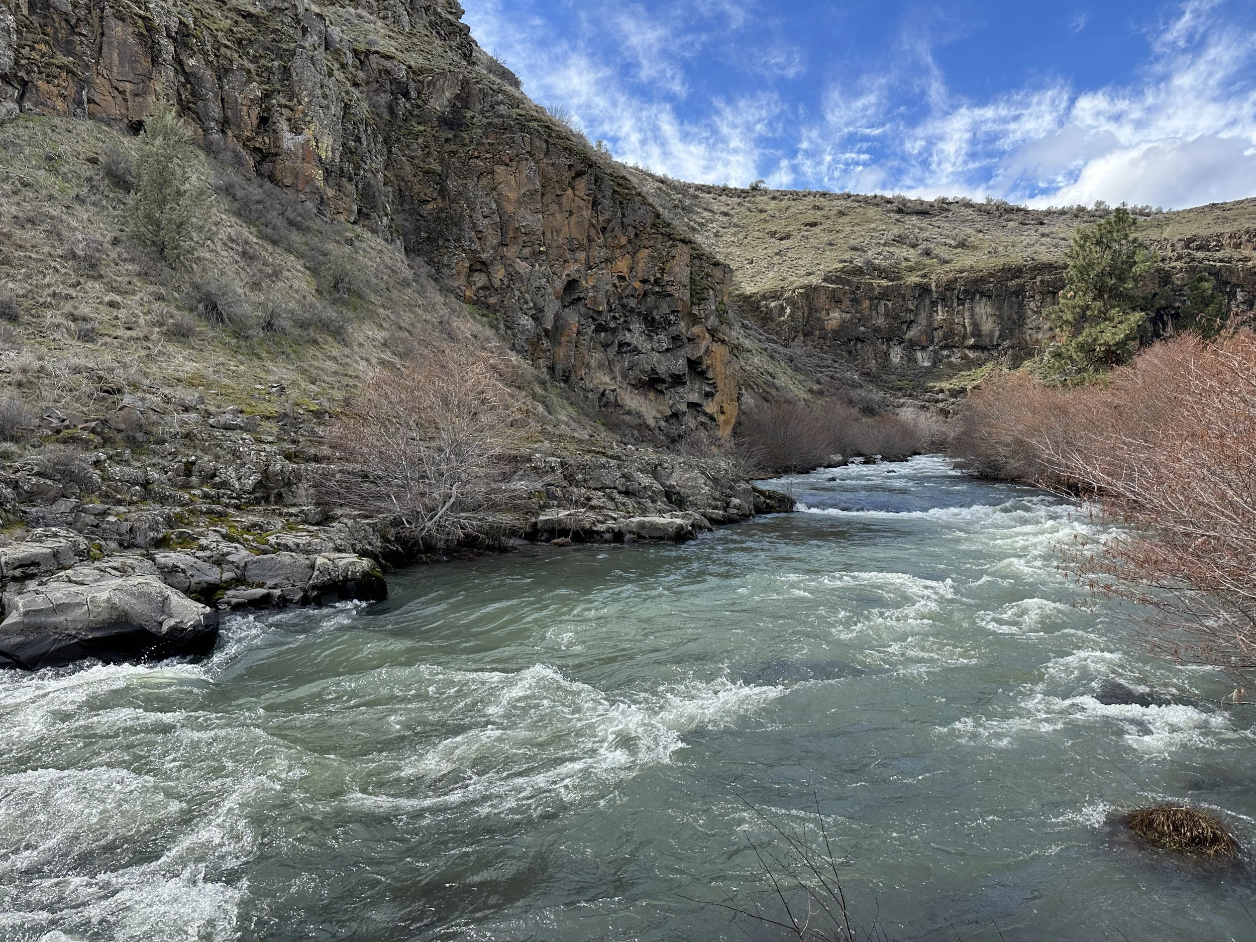
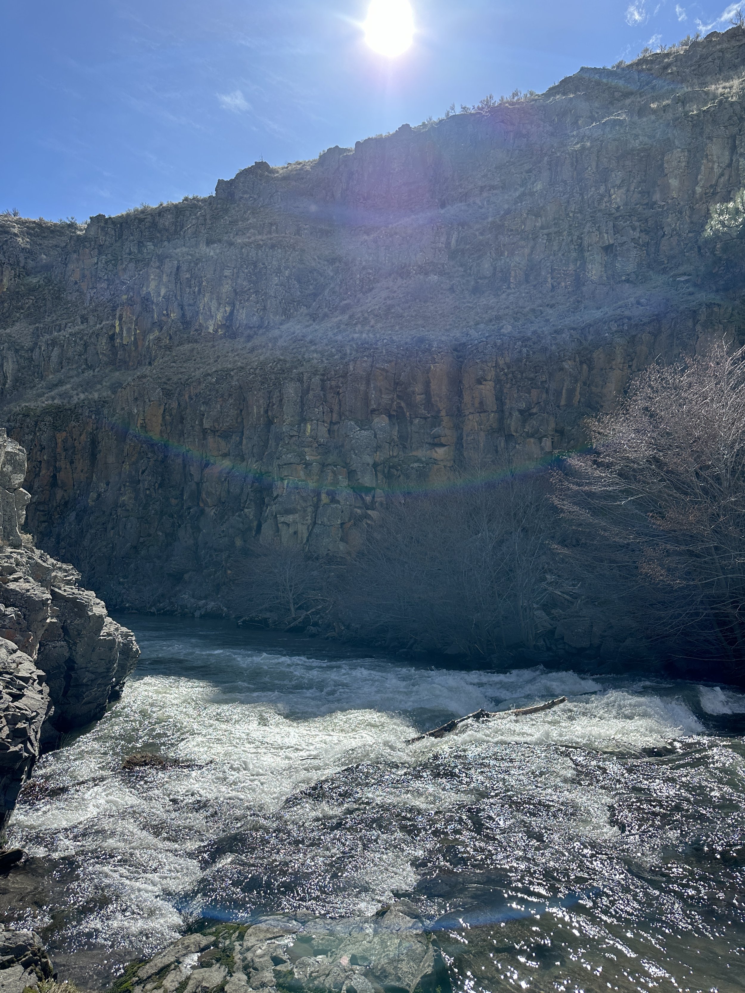
I sat by the river for a while, feeling the spray from the lower falls and listening to the water splash into the rocks. I watched how the water flowed over the edge and how the clouds moved through the sky.
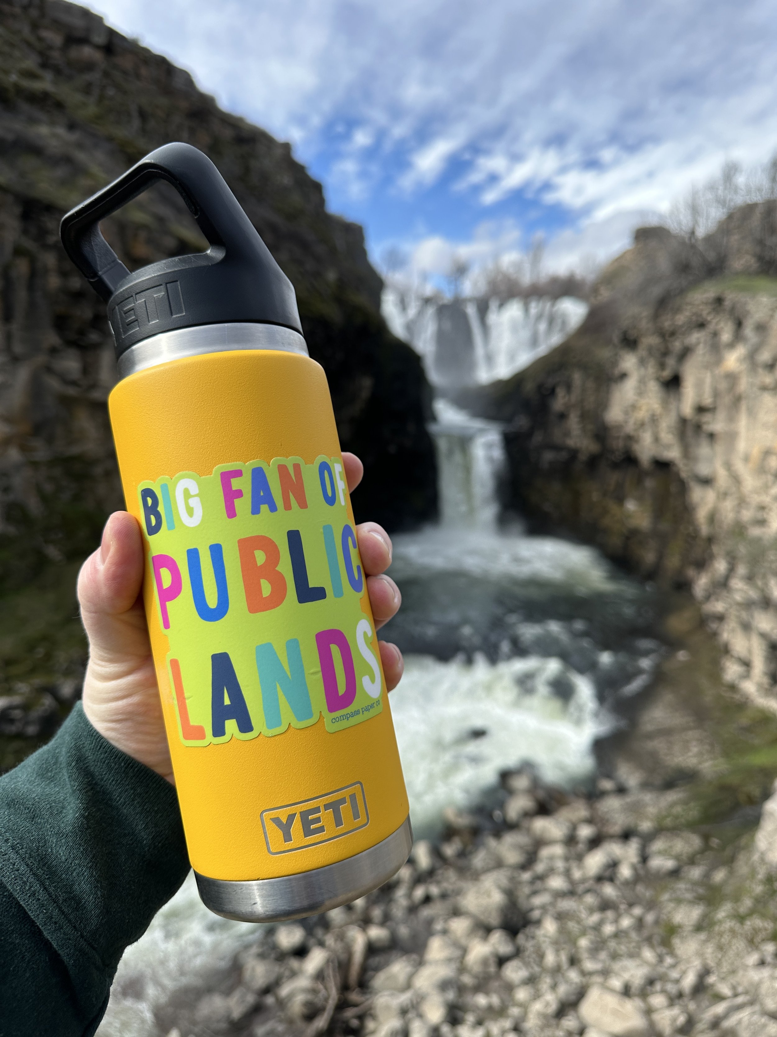
The Lower Falls
The trail itself is around a mile to the lower falls and back. It’s all uphill on the way ack, and not universally accessible. If you go when the weather is warm, take plenty of water.


#hike20 - Tahquamenon Falls State Park
View from the paved path to the viewing deck
Date: June 14, 2018
Location: Tahquamenon Falls State Park - Paradise, MI
Distance: 4.3 miles
Trails: River Trail
Tahquamenon (like phenomenon) Falls is located in the Eastern portion of Michigan's Upper Peninsula and one of the most beautiful places in the state. It is known to attract plenty of tourists, but we went early enough to avoid them! My other half, my mom's other half, and I took off around 6 am and made the 2.5 hour drive up to the state park. The mosquitoes were immediately thick and it was not looking good from an enjoyment perspective, but we had bug spray and hoped for the best.
We set out on the paved portion and made our way to the viewing area at the Upper Falls. There are 96 steps down to the viewing platform, all worth it. Between the car and the falls, a bird pooped on me, or I put my hand in bird poop on a railing, or some other situation in which my hand/arm came in contact with bird poop, so that was a good time and made everyone laugh and distracted from the mosquitoes everywhere for a second.
View of the Upper Falls and river from the viewing platform.
Back up the 96 steps we went and headed towards the dirt path that led to the Lower Falls. It started up on a ridge, with the river below and the trees thick. We met one family along the way, and they didn't really seem to be bothered by the mosquitoes. The bugs didn't start out too bad on the upper part of the trail, but the second we descended to the river level, we were eaten alive. In my 33 years on this Earth, I have never experienced mosquitoes THIS bad. We probably made it a third of the way to the Lower Falls and decided to turn around because it just wasn't enjoyable. I was a little disappointed, but ultimately wasn't enjoying the hike enough to continue. My goal of 10 miles was missed and I settled on 4, but distance isn't always everything. In just 4 miles, in and out, I saw plenty of nature's splendor to be satisfied. We had some laughs and I'd definitely return during the fall or winter to do the path.
This hike revitalized my desire to be outside, invigorated my senses, and reminded me that it's not about the distance but overall enjoyment. I've scheduled a bunch of hikes in my calendar for upcoming weekends to keep me motivated. If anyone is interested in tagging along, feel free to contact me! Happy trails.
An Iris and a view of the Tahquamenon River
Goal: Tahquamenon Falls Hike (June 2018)
Alright people, I had a brilliant idea today... This June I have to go up to Michigan for my brother's wedding, so I'm going to make the most of the trip. Since I'll be driving, I've decided I'm going to sneak away for a day and hike the trail between upper and lower Tahquamenon Falls. If you don't know anything about Tahquamenon Falls, here are some details:
- When pronouncing it, think "phenomenon"
- It's a set of 2 falls, actually, located on the Tahquamenon River in the eastern portion of Michigan's Upper Peninsula
- The upper falls are just shy of 50 feet tall and 200 feet wide
- The lower falls are located about 4 miles downstream from the upper falls, and aren't as tall but are still gorgeous
- There is a trail between the two falls that is part of the North Country Trail
- The falls are a tourist attraction all year (I like them best in the winter, personal preference)
- You can learn more on the Michigan DNR page found here
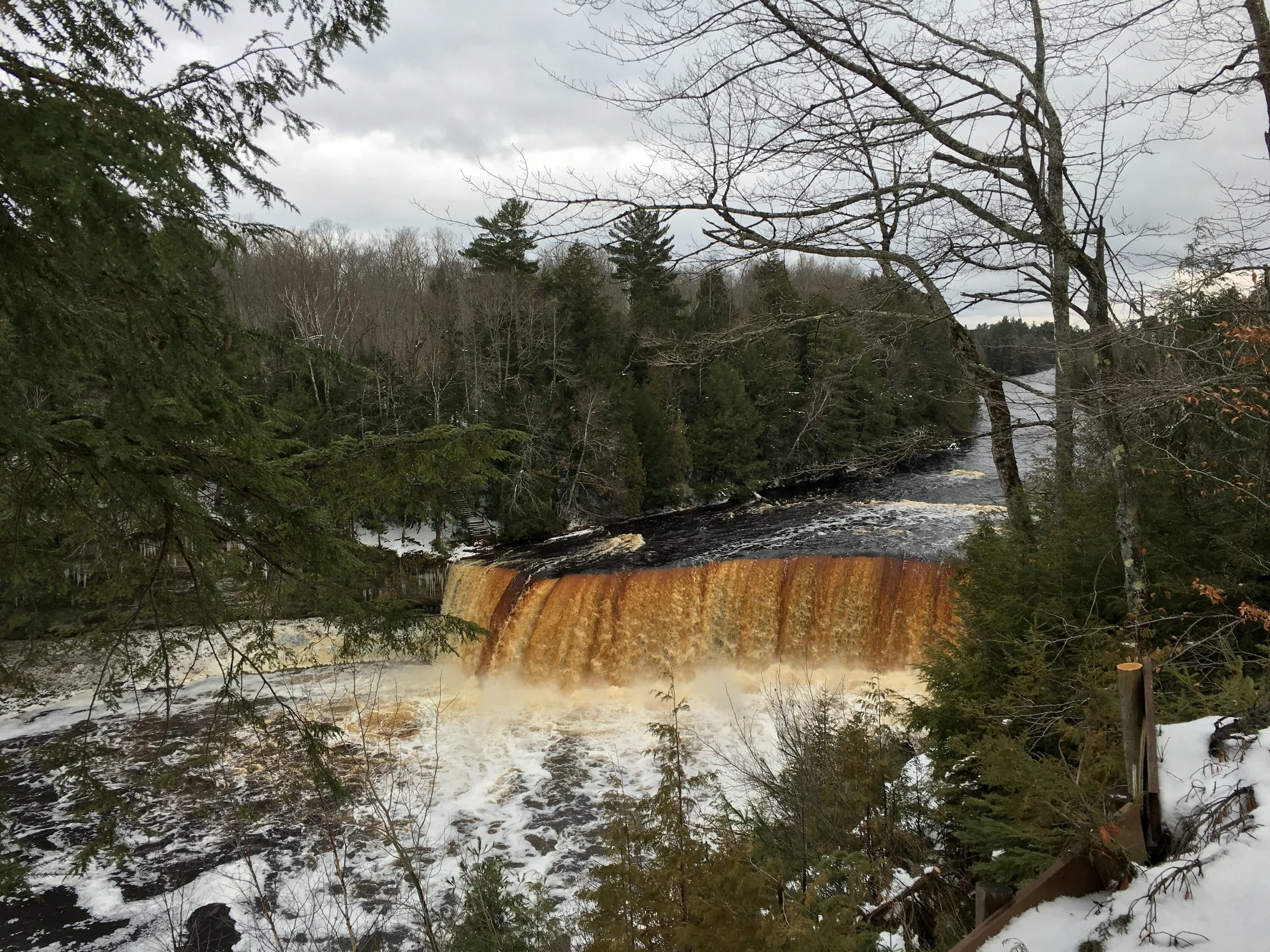
When I was up in Michigan for Christmas, I had plans to visit the falls but wasn't able to do so because of a strong winter storm. The Mackinac Bridge (connecting the Upper and Lower Peninsulas of Michigan) often closes or requires escorts if the weather gets too bad and I didn't want to risk being stuck* in the Upper Peninsula. I'm determined to hike this trail, though, and will go alone if I have to this summer to do the 10 mile trek there and back. If you'd like to join me on this trail, and will be in Michigan, contact me and I'll share the dates I'll be there. It's likely this hike will be number 24 in the journey, but that is just an estimate.
Photo taken of the Upper Tahquamenon Falls in December 2015
*Disclaimer: there is nothing wrong with being stuck in the Upper Peninsula, I just didn't want to spend the money on a hotel or extra food.