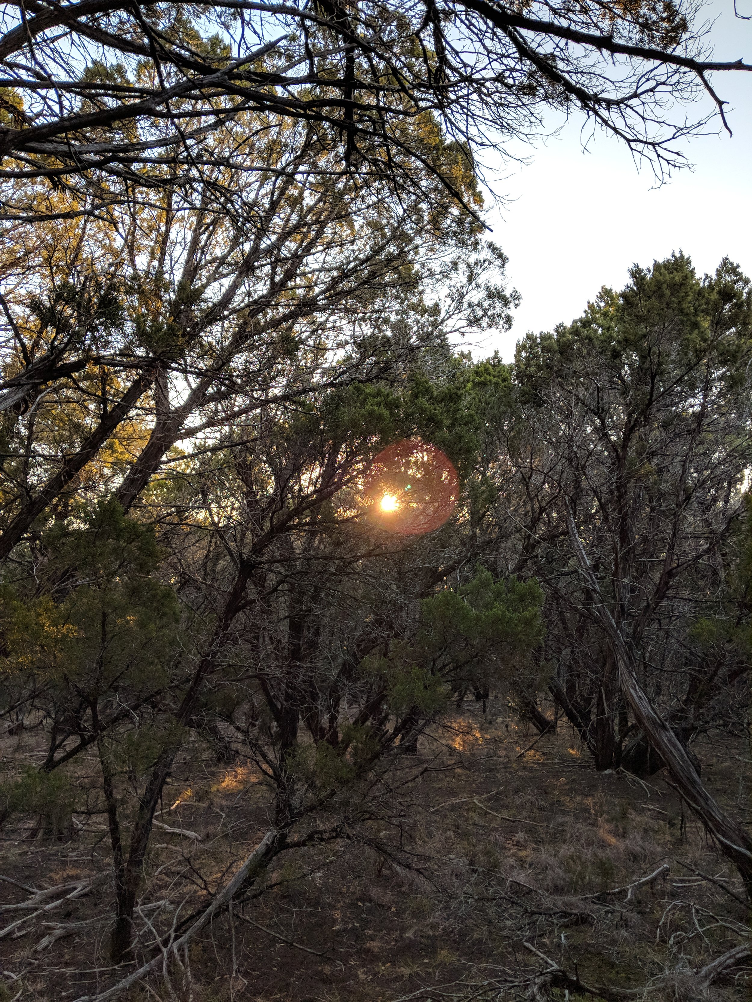
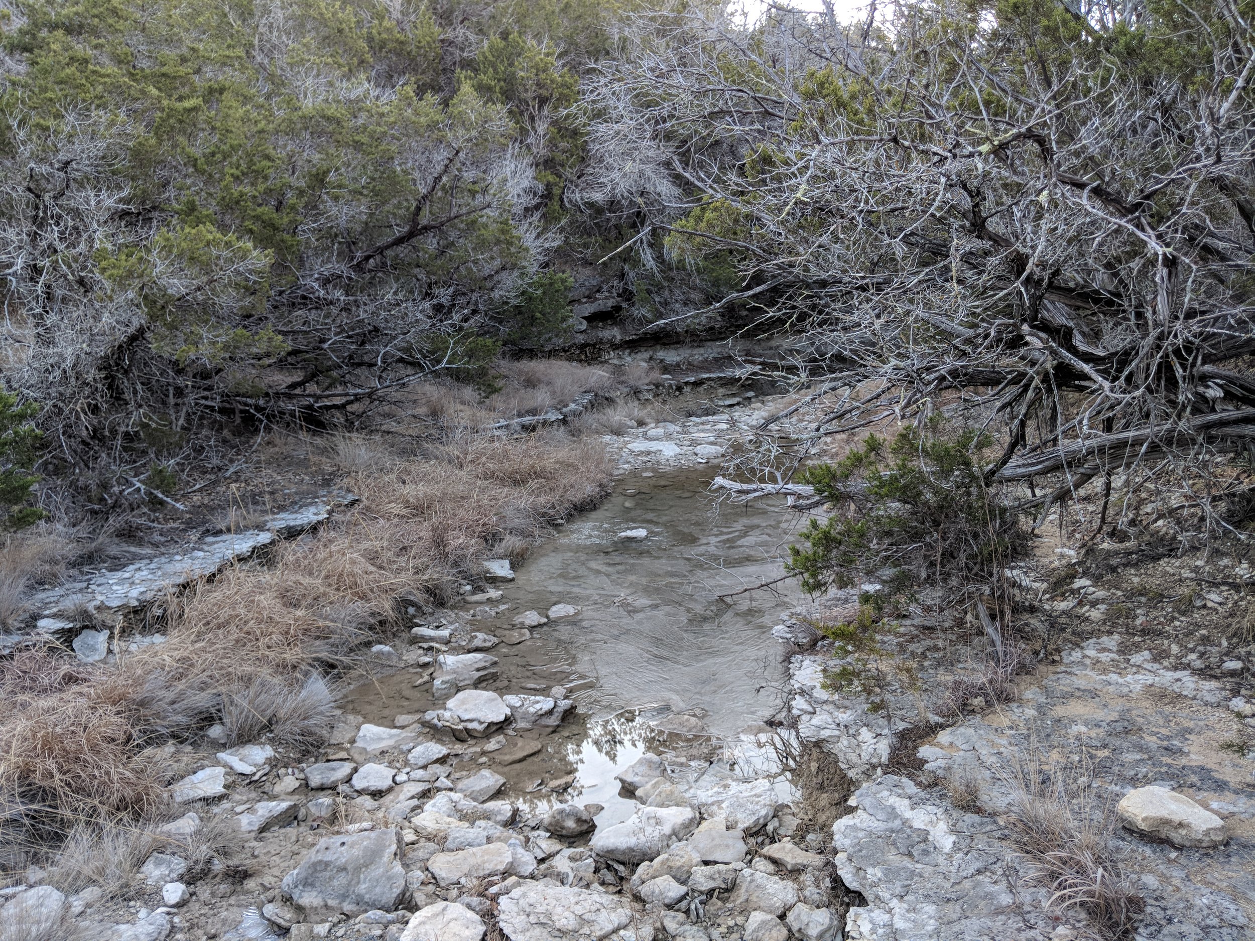
#hike6 - Cedar Ridge Preserve

Date: February 10, 2018

Location: Cedar Ridge Preserve - Dallas, Texas

Distance: 6 miles

Trails: Cattail Pond to Cedar Brake to Cattail Pond to Fossil Valley to Trout Lily to Fossil Valley to Cattail Pond to Cedar Brake (here's a map)

It was a surprisingly cold morning and I was running way later than I would have liked, but it turned out just fine.  I didn't quite expect it to be under 40 degrees when I left the house, but that's why I keep gloves in my daypack.  Chewy the dog prefers cooler temps, and I could tell bringing him wasn't going to be a mistake.

IMG_20180210_123853.jpg

We arrived, deposited the $3 in the tube (always support your local parks if they ask for donations) and went to the trailhead sign.  Chewy, as usual, had to do his business right away which is fine because then I don't have to carry it.  If you're the type of person that doesn't pick up after your dog, or leaves bags tied to trees or on the side of the trail for later, you're not a nice person.  If you can't double bag it and put it in an outside mesh backpack pocket, inside your bag, or on your dog's harness, then don't bring your dog.  Please pick up, leave no trace that your dog did their business, and move along.

IMG_20180210_112950.jpg

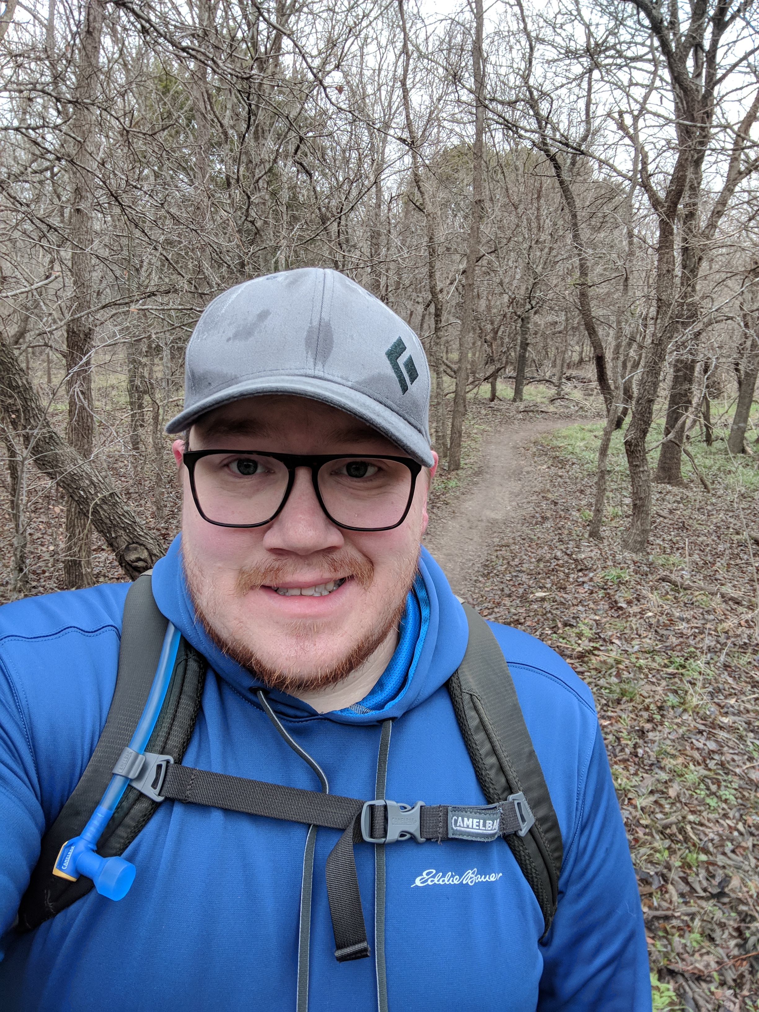
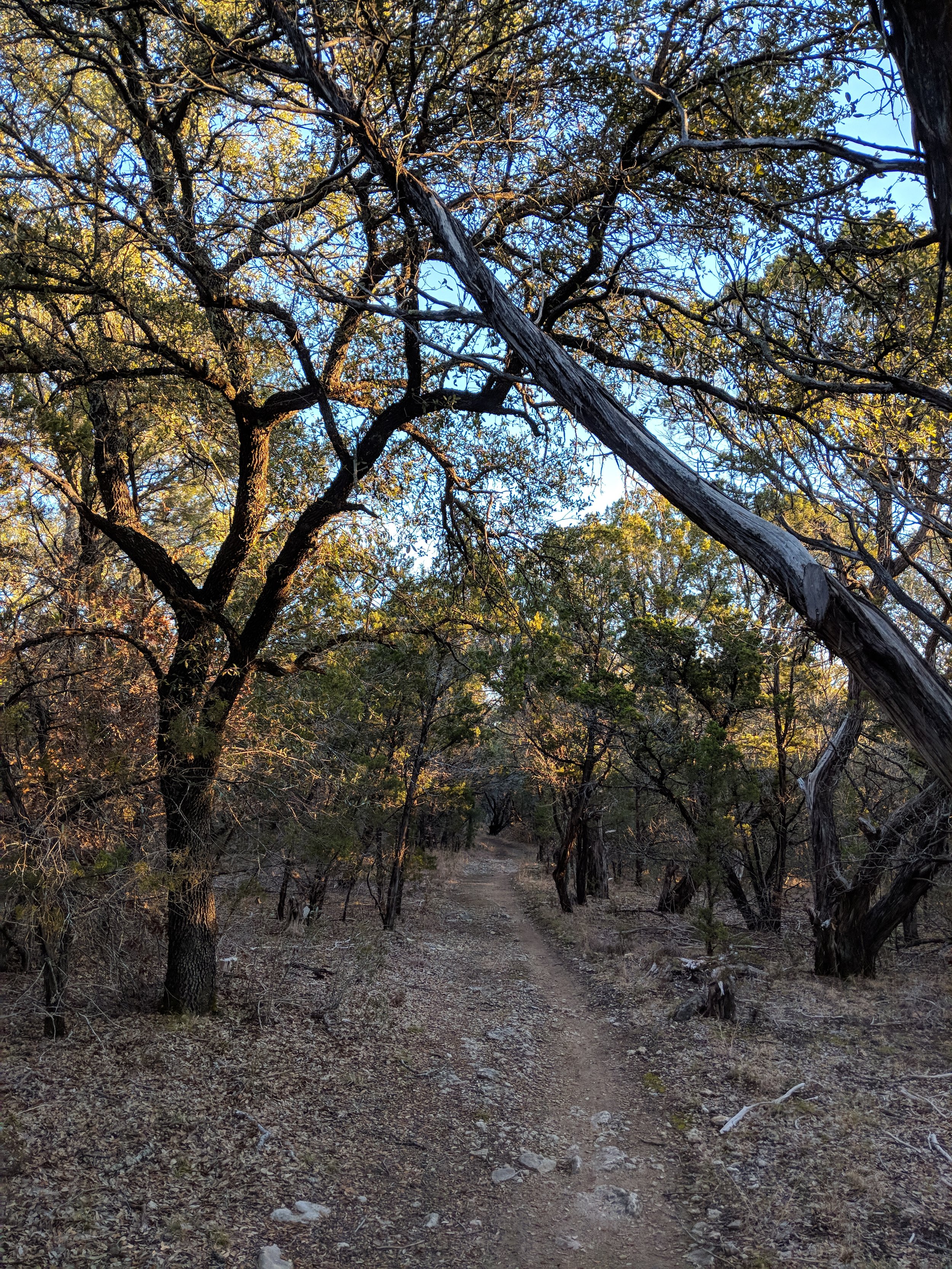
We took the main path down to the Cedar Brake trail and the first part is downhill, but almost immediately you go back up.  The first hill is a long, tall one, but not nearly as challenging as other along the way.  I've been doing pretty mild, yet long, hikes so the hills were a welcome change of pace.  The temps had dropped even more since starting, the wind was whipping through the bare trees, and I swear I saw a single snowflake hit my glasses.  We made our way back to the Cattail Pond, and I was debating if we were going to stick to the original plan of doubling back on the Cedar Brake trail or taking the easy, shorter way back to the car.  I ended up choosing the more challenging way back and I'm glad I did.  I was getting that "high" feeling from hills and those last two miles were all goofy smiles while my head emptied thoughts on the trail behind me.  Hills are good for the brain, too.

MVIMG_20180210_112326.jpg

Things to Know about Cedar Ridge Preserve:

  • There are plenty of hills to tackle, but there are ways to go through without encountering any of the really strenuous ones - so if you're not up for the hills, you can still enjoy this lovely place.
  • Trail runners love this place, so be on the lookout for them.  We can all work together to share the trail, just use common sense.
  • The only trash can is at the main trailhead, so plan accordingly.  ALWAYS pack out your trash - including your dog's.
  • Getting there early is in your best interest on a normal day with normal temperatures.  There is a big parking area and several overflow areas.  I usually like to get there between 6:45-7:45.
  • The Cedar Brake trail will have the least road noise from neighboring freeways.
  • Check out the park website here and the trail profiles here for more planning resources.

This place has been one of my go-to locations when I can't get away from the metro area.  The trail vary in difficulty, the trees are a nice touch, and it's well maintained.  I highly recommend this to anyone - whether you're in town for a minute or live here - it's a great place to escape the concrete for a bit.  Happy hiking, see you on hike 7!

#hike5 - Eagle Mountain Park

MVIMG_20180203_083934.jpg

Date: February 3, 2018

Location: Eagle Mountain Park - Fort Worth, TX

Distance: 5.5 miles

Trails: All but purple and yellow, see this map for reference

Eagle Mountain Park is one of the locations in Fort Worth that I don't mind revisiting, especially if the weekend doesn't allow for an out of town adventure.  My friend Nikki joined me for this hike and I was thankful to have someone along to chat with about nature, news, and pop culture.

This was the fourth time I was at Eagle Mountain Park, located on the east side of Eagle Mountain Lake, and I was expecting a familiar route with my friend, but we were constantly distracted by things we hadn't noticed before.

IMG_20180203_083645.jpg
  • Was that log always there?
  • DId you ever notice that forest area?
  • Was that tree always down?
  • OOH, deer!
  • Oh, look at that bird! What kind of bird is that?

Rediscovering a familiar place is a treat and part of the reason these hikes are important to me.  As we walked, we kept discovering things that went under the radar before and reminded me that I need to slow down and be a bit more observant.  Nikki suggested we educate ourselves, so we are going to learn more about plant identification and various other information related to the ecology here in Texas.

MVIMG_20180203_080327.jpg

Things to know about Eagle Mountain Park

  • There are hills, they're not terrible, but they are there so be aware
  • The trails wander between wooded and wide open areas, so you can find shade in the summer but always plan ahead with a hat, sunscreen, and water
  • Take the shoreline trail - it's beautiful and you usually can catch a nice breeze
  • If you want to avoid crowds, get there before 7:30am
MVIMG_20180203_083638.jpg

This hike was especially refreshing, both mentally and physically, after a week of travel and getting back into the workflow.  I'm thankful for good friends, good talks, and slowing down and seeing the little things in a familiar place.  Happy trails!

#hike4 - Cook County, Minnesota

This hike is becoming an annual tradition for me and I'll take it.  Every year, my buddy and I are trying to get up to his aunt's remote cabin in the winter.  Anyone we know is invited, but they must brave the cold and trek across the frozen lake.  This year, it was just the two of us because it was rather last minute, but hopefully we'll get a good annual group going sometime each year in mid-February.

We hit the lake at sunset, getting to the cabin at dark on the first night.

Date: January 26-29, 2018

Location: Cook County, Minnesota

Distance: 3.5 estimated miles

Trails: Straight shot across the lake from the boat landing to the cabin landing, up through the woods to the ridge

You always go into this trip not knowing exactly what to expect, as the area is pretty remote.  We arrived at the spot where you can safely park, unloaded, and followed a snowmobile trail down to the lake.  From there, we had pretty smooth sailing with hard, crunchy snow and no need for the snowshoes.  Once to the cabin landing, we have a huge hill to hike up and there was only about 8-12 inches of snow there, which is relatively low and made for an easy climb with our sleds.

The cabin has no modern amenities, no frills, and no mercy.  There is a good wood stove, an outhouse, and it's bitter cold for the first few hours upon arrival.  After getting the place warmed up, it's cozy and great for drinking your favorite cocktail, playing board games, or reading a book.

On Saturday, we trekked up to a ridge just beyond the cabin.  The hike is through the woods, without any real trail, and the snow level was manageable in most places, and was a nice way to break up the day.

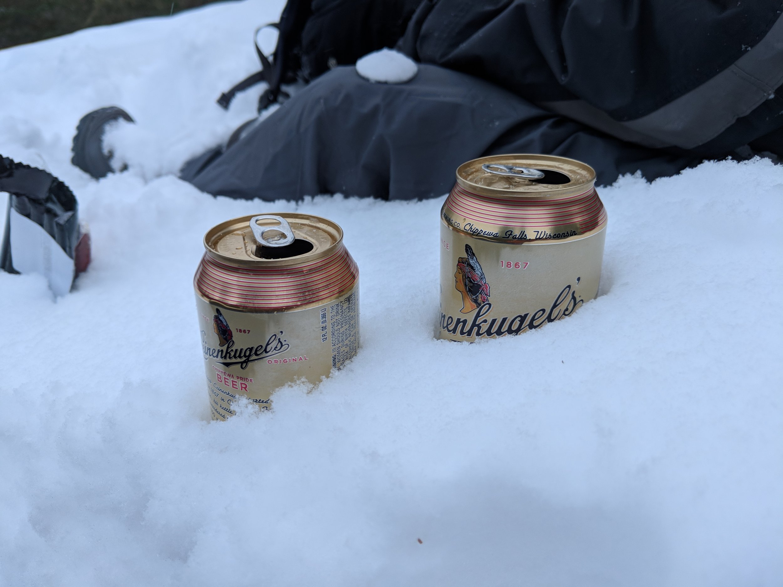
Temperatures upon arrival were near 30 degrees Fahrenheit, but fell to -10 by the time we left.  Last year we hiked across the lake from the cabin landing to another lake, on the edge of the Boundary Waters Canoe Area Wilderness, but this year we just didn't make it for some reason or another - probably the temps.  On our last morning, we attempted the "throwing hot water in the -5 degree air" thing and that was pretty cool - I did my best to capture a photo of that below.

For more background info and a more detailed account of previous cabin adventures, check out my last trip here.  I hope you all have great hikes this week and happy trails!

#hike3 - McKinney Falls State Park

This hike was a little muddy but a nice new adventure.

Date: January 20, 2018

Location: McKinney Falls State Park - Austin, TX

Distance: 7.4 miles

Trails: Homestead, Flint Rock Loop, Williamson Creek Overlook

It was a Saturday morning out of town and I was determined to go hiking.  I got my car out of the hotel parking garage and drove to the state park before 8 am after being out all night before - it was a slow start.  I got to the trailhead parking, wandered down to the lower McKinney Falls and tried to figure out a way to cross the river.  The three trails I chose require a river crossing, though it wasn't well marked, I chose a spot just above the falls.  I started out, but ended up in ankle deep water and wet feet.  I had my wool socks and it was over 50 degrees, so I just carried on knowing I'd likely be a little squishy.

The trails were well marked, but seemed a little off in distance.  My tracking was a little higher than posted trail mileage, despite appearing to be accurate.  I realized on the Flint Rock Loop seemed about a half mile short, but I could be wrong.  Either way, I had extra distance by wandering along the river a bit too, so who knows.  The weather was gray and mild, but there was some rain the night before that made the trails muddy.  My feet were already heavy due to being wet, but add the sticky mud and it made it feel like I had bricks strapped to the bottom.  I persevered, eventually reaching that reflective, head clearing state of mind that I enjoy so much.

Things to be aware of:

  • This park is surrounded by industrial areas and busy roads, so outside noises are prevalent on the trails.
  • You will get wet crossing the river, so plan ahead for that
  • It's very close to Austin, so it can be reached by a ride share if you don't have a car available

What I learned

  • I can hike with wet feet for at least 7 miles and it's all good, if it's not cold
  • My need for quiet is becoming the main focus so I'm going to find some parks a little further away from main roads or bustling cities - SOON.
  • Crossing a river will clean off of the mud from a long hike

All in all, it was a nice hike and it was a great way to clear my head after a cloudy night.  Happy trails!

Goal: Tahquamenon Falls Hike (June 2018)

Alright people, I had a brilliant idea today... This June I have to go up to Michigan for my brother's wedding, so I'm going to make the most of the trip.  Since I'll be driving, I've decided I'm going to sneak away for a day and hike the trail between upper and lower Tahquamenon Falls.  If you don't know anything about Tahquamenon Falls, here are some details:

  • When pronouncing it, think "phenomenon"
  • It's a set of 2 falls, actually, located on the Tahquamenon River in the eastern portion of Michigan's Upper Peninsula
  • The upper falls are just shy of 50 feet tall and 200 feet wide
  • The lower falls are located about 4 miles downstream from the upper falls, and aren't as tall but are still gorgeous
  • There is a trail between the two falls that is part of the North Country Trail
  • The falls are a tourist attraction all year (I like them best in the winter, personal preference)
  • You can learn more on the Michigan DNR page found here

When I was up in Michigan for Christmas, I had plans to visit the falls but wasn't able to do so because of a strong winter storm.  The Mackinac Bridge (connecting the Upper and Lower Peninsulas of Michigan) often closes or requires escorts if the weather gets too bad and I didn't want to risk being stuck* in the Upper Peninsula.  I'm determined to hike this trail, though, and will go alone if I have to this summer to do the 10 mile trek there and back.  If you'd like to join me on this trail, and will be in Michigan, contact me and I'll share the dates I'll be there.  It's likely this hike will be number 24 in the journey, but that is just an estimate.

Photo taken of the Upper Tahquamenon Falls in December 2015

*Disclaimer: there is nothing wrong with being stuck in the Upper Peninsula, I just didn't want to spend the money on a hotel or extra food.

#hike2 - Tyler State Park

I'm experimenting with a post-hike video to kind of summarize the experience. We'll see how this evolves. Enjoy the first installment.

Date: January 13, 2018

Location: Tyler State Park - Tyler, TX

Distance: 8.41 miles

Trails: B, C, and D Loops

This morning was not agreeing with me, and I'm a morning person, but I finally hit the road about 8AM and made it to the park about 10AM.  I parked in the lot where the mountain bikers park, loaded up, and headed out.  To get to Loop B, you start on Loop A which is the designated mountain bike track.  I started down the trails on the east side, which weaves through the woods and takes you back towards the north end of the park.

Loop B felt like the longest trail, it probably was, with Loop C being the shortest.  Loop D was the most interesting as far as terrain, and was somewhere around 2.1 miles.  Loop C had a few issues with trail marking, so I did a little backtracking but eventually made it to the right path.  All paths went through the woods which consisted of mostly pine and oak and weaved through ravines.  There were several creek crossings, all with footbridges or something man-made to assist.

Tyler State Park Tidbits:

  • There are a lot of trails to take on and they're all pretty well marked with Loop C being the only area I had a little difficulty finding any marking or beaten down path
  • The trails I did are for hiking and biking and offer plenty of space to get out of the way of one another.
  • I went on a Saturday morning and I was surprised it wasn't very busy - could have been the colder weather?
  • The pines are gorgeous and regal blanketing the trails helping you stay quieter to take it all in even more.

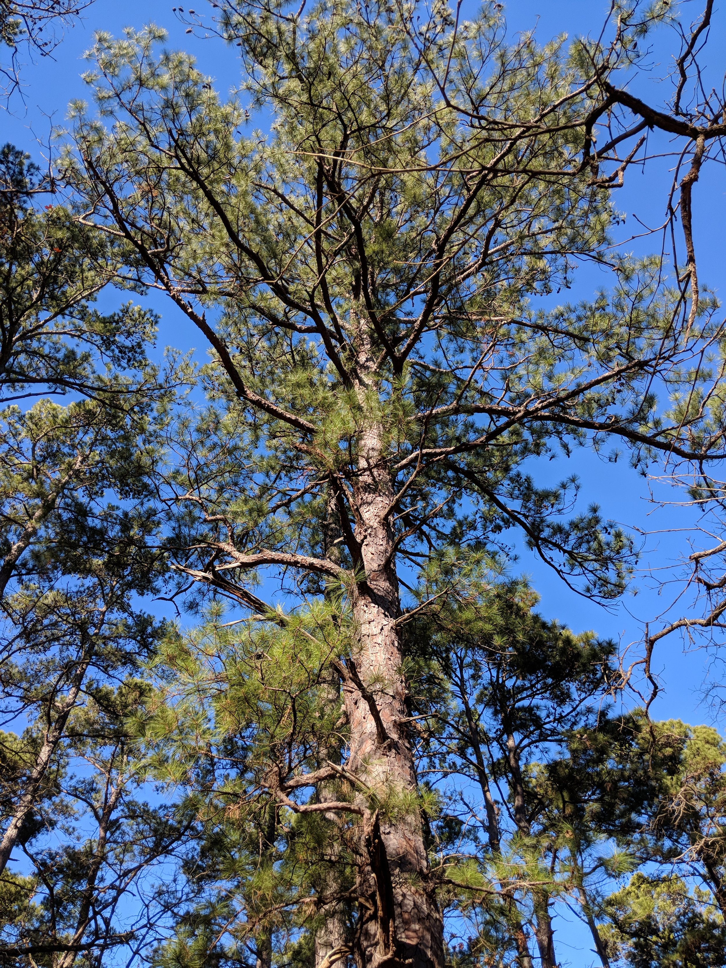
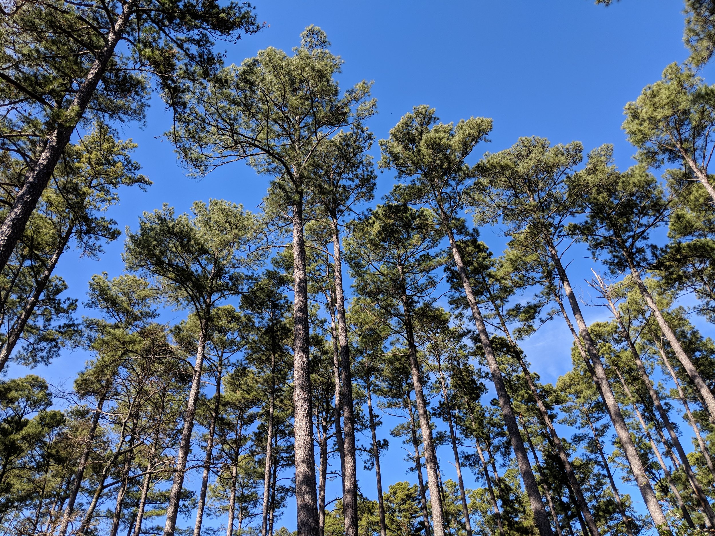
Walking through the pines made me feel like I was in Michigan.  I found myself stopping, looking up while listening to the wind through the needles the way I would near Lake Huron or Lake Michigan.  The woods was very quiet, with few people and outside noises, making it an ideal hike for pondering things.  If it weren't for the yucca (or whatever it is) that grows in the sunlight, I would have never known I was still in Texas.  Enjoy a few photos from the hike and happy hiking to you!


#hike1 - Dinosaur Valley State Park

Date: January 6, 2018

Location: Dinosaur Valley State Park - Glen Rose, TX

Distance: 9.55 miles

Trails: Cedar Brake Outer Loop, Paluxy River

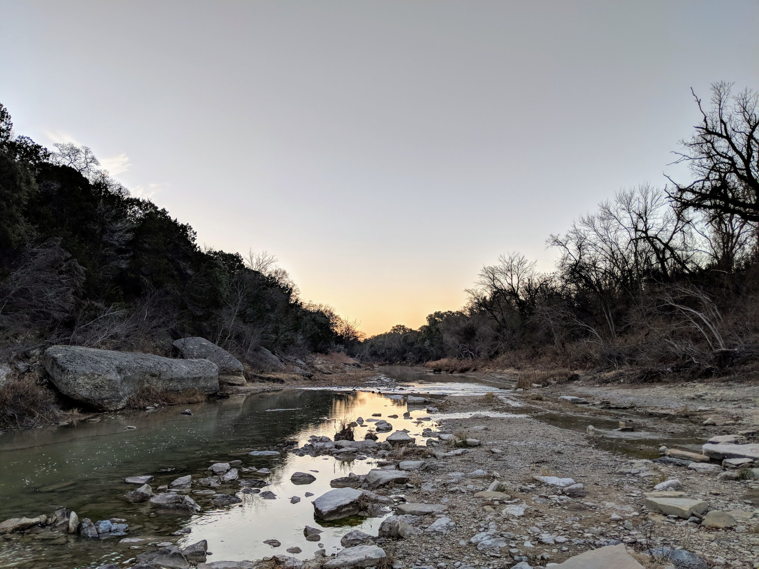
I arrived at the park early, before the staff arrived, and checked in.  I left home in shorts, because it was nearly 40 degrees at home, but it was only 25 at the park so I had to change into the pants I brought along.  I was the only car in the parking lot upon arrive, and was one of ten when I left.  The crowds for this park don't usually show up until about 8-9 am, making early morning hikes fairly quiet and peaceful.  I made it 7.5 miles in before seeing anyone, but then it was more people than I could count.  For the first hike of the year, I wanted to "go big" with a longer hike.  I visited this park four times last year and did the same few trails each visit so this hike was also about exploring a part of the park I hadn't hiked in 2017.  Seeing new-to-me trails and the furthest corners of the park boundaries satisfied the need for a little adventure within.

I spent the majority of this hike reflecting on the hikes of 2017 and warming my hands.  Like an idiot, I didn't really plan well for the temperatures, despite my constant preaching of preparedness.  Halfway through the hike, I remembered having gloves in my pack and that was a great relief.  As I warmed my hands, I pondered what worked well last year and what I need to adjust to make the 2018 hikes even better.  Dinosaur Valley is becoming my new go-to park simply because I love the terrain and proximity to my family's home - can accomplish a visit and get a hike in.  All in all, it was a challenging and robust start to my hikes for 2018.

Dinosaur Valley State Park Tidbits:

  • almost all trails require crossing the Paluxy River - always check trail conditions on the park's Facebook page before heading out
  • the park has varied terrain - be sure to check out the trail map for more information
  • many trails are shaded, thought plenty have sunny portions so always bring enough water and wear sun protection
  • tourist attractions such as dinosaur track viewing areas and other dinosaur related businesses outside park boundaries exist for family fun before or after your hike
  • crowds are limited in cooler months, and earlier in the morning - I always try to get there around 7 am to enjoy some solitude

Here are some photos from the hike, enjoy and happy hiking!

Welcome!

It's time to start the 52 Hike Challenge for 2018.  Each week in 2018 I'll go for a hike and share the details on this blog.  The idea behind the challenge is to get outside and active in nature.  Hiking, for me, has really expanded my love for the outdoors and the area in which I live.

I completed the 52 Hike Challenge for 2017, and the info and blog posts can be found here.

Goals for 2018:

  • Hike more than 300 miles
  • Take longer hikes each week
  • Include backpacking
  • Hike to Guadalupe Peak in Guadalupe Mountains National Park
  • Hike in Olympic National Park

Follow along here, on Twitter, or Instagram.  Happy hiking, first hike will be 1/6/17.

#52hikechallenge2017 - Looking back and moving forward

Happy New Year.  It's 2018, and that means at least 52 more hikes from me.  I finished the final three hikes of 2017 sick as a dog, and the final two in the bitter cold of a harsh winter in Northern Michigan.  I'm alive, still sick, but working on the plans for the next 52.  Here are a few stats from 2017:

Total mileage: about 212

Solo hikes: 19 (which means 33 were with other people)

Canine companion hikes: 25

Unique locations: 29

Number of hikes I truly enjoyed: 46

Number of States (including my own): 9

Number of NPS Units: 4

Number of State Parks: 10

The few hikes I didn't enjoy were most likely due to trails/parks being closed, having a busy weekend, the infrequent feeling that this was more of an obligation than fun, and/or plain old laziness.  The mission of this challenge was to get me out on a trail and to encourage me to find new places - which it did.  I have a new understanding of the natural areas in Dallas-Fort Worth, as well as the State of Texas that makes living here much more tolerable.

Looking forward to 2018 and the hikes ahead, I want to increase my total mileage and explore a bit more out of my comfort zone.  I'm going to shoot for 400 miles in hopes of getting there, but I will not beat myself up for anything above 300.  Currently, I'm making plans to find longer trails and/or places with more trails so I can get an average of 5-7 miles per outing.  I am looking forward to expanding my knowledge of parks in Texas as well as the surrounding states like New Mexico, Oklahoma, and Arkansas.  I'm hopeful for trips to Washington, Alaska, and Michigan.  I'd love to include Utah again as well as California and Oregon, but we'll see as the year unfolds how funding and timing go.

Here's to the new year, new trails, and new experiences all over again.