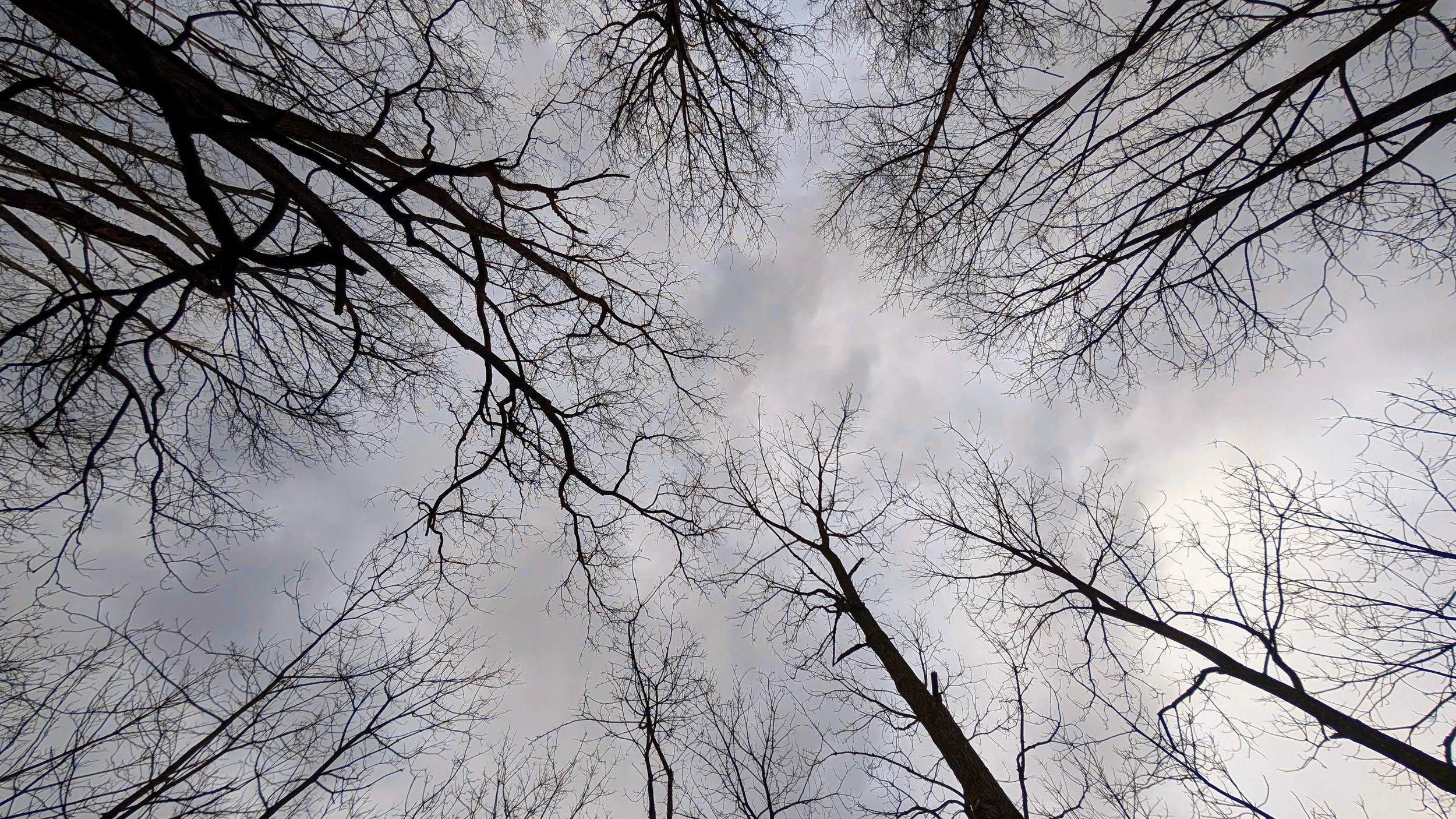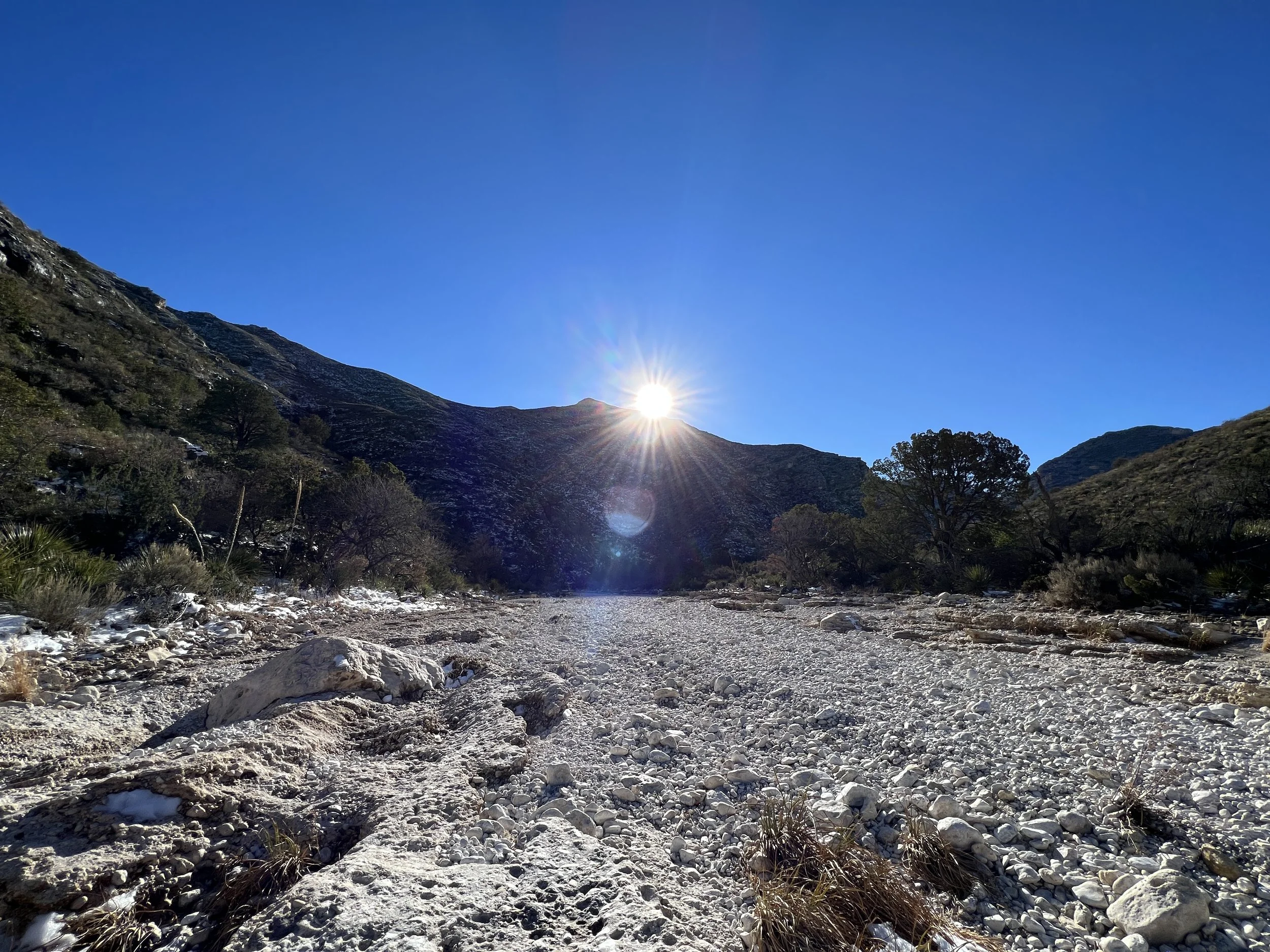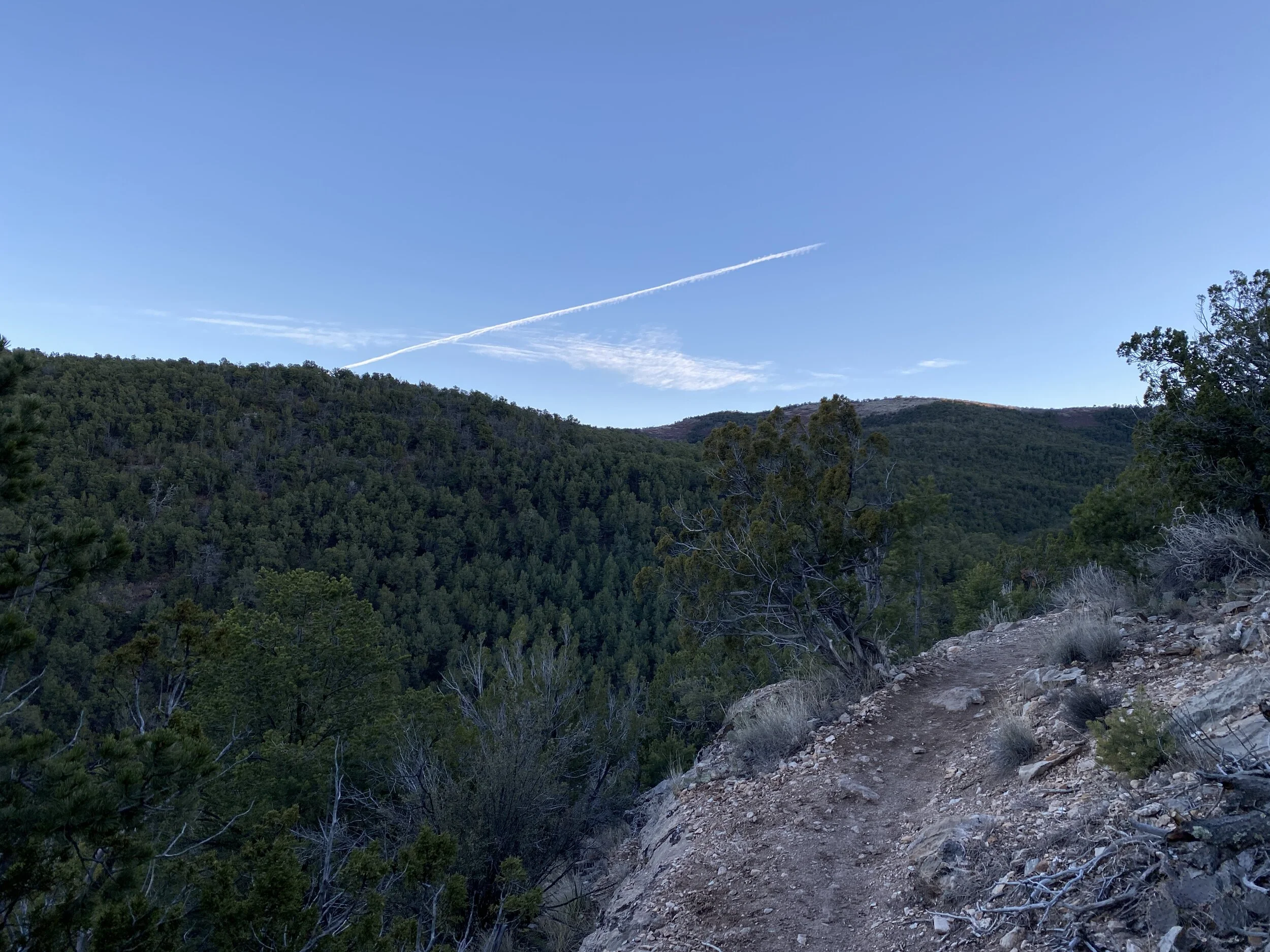


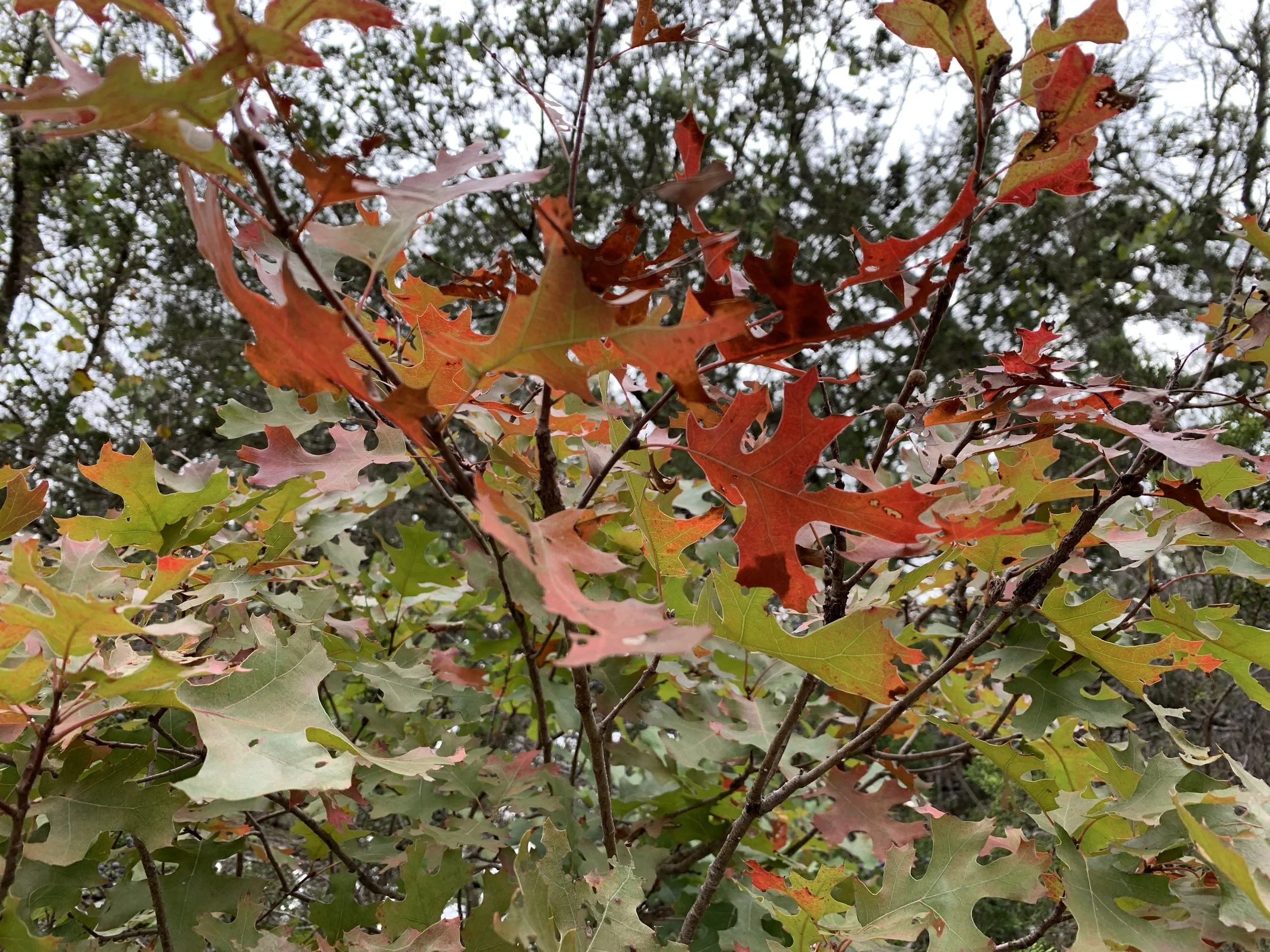
52 Hikes with Mike - 2019 Edition
I’ve signed up, again, for the 52 Hike Challenge. (More info HERE)
I plan to hike 52 times in 2019, hopefully at least once per week. There are always weeks with travel or personal happenings that can get in the way, so some weeks may include two hikes to make up for any missed hikes. I signed up for the Adventure Series (Objectives HERE) which includes switching it up with various “challenges” throughout the year such as hiking to a waterfall or in a National Park. I look forward to incorporating challenges into my hike planning to keep things interesting.
I successfully completed the 52 Hike Challenge in 2017, did about 59% of it in 2018, and fully intend to exceed 100% in 2019. I’m not resolving to do this, per a new years resolution, I’m simply committing as I’ve done for the past two years to hiking as much as possible.
I’ve found a few more local hikes that will do in a pinch, that should allow for a bit more variety. I’ve got plans for a summer trip to Oregon, perhaps, and hopefully a trip back to Washington too. More to come as I plan everything out. As always, if you’d like to hike together, get in touch!
Someone I’d highly suggest following on their 52 hike journey is my friend Jen (Her Website). I’m hoping we get to hike together, but until then I’m reading her blog and following her social media to see the neat outdoorsy stuff she’s got goin’ on and you should too.
2019 Hiking Goals
300 Miles
Visit 6 new state parks in Texas (May turn into a quest to visit all state parks in Texas)
Backpacking at least twice (I chickened out last year, ugh)
Hike in 3 NPS sites
Enjoy every hike
More sunrise hikes (starting in the dark)
Here’s to another year of hikes and the wonderful world of public lands we have in our backyards!

52 Hikes with Mike - Missed goal
I want to talk about the year of 2018. What a weird year. More on that in a coming post. I didn’t reach my goal of 52 hikes in 52 weeks this year. It just didn’t happen. I’m a little ashamed, but mostly okay with the whole thing. The hikes I did, 31 to be exact, were fun and fresh.
2018 STATS
Total Hikes: 31
Total Miles: 181.77
Total Hikes Enjoyed: 31
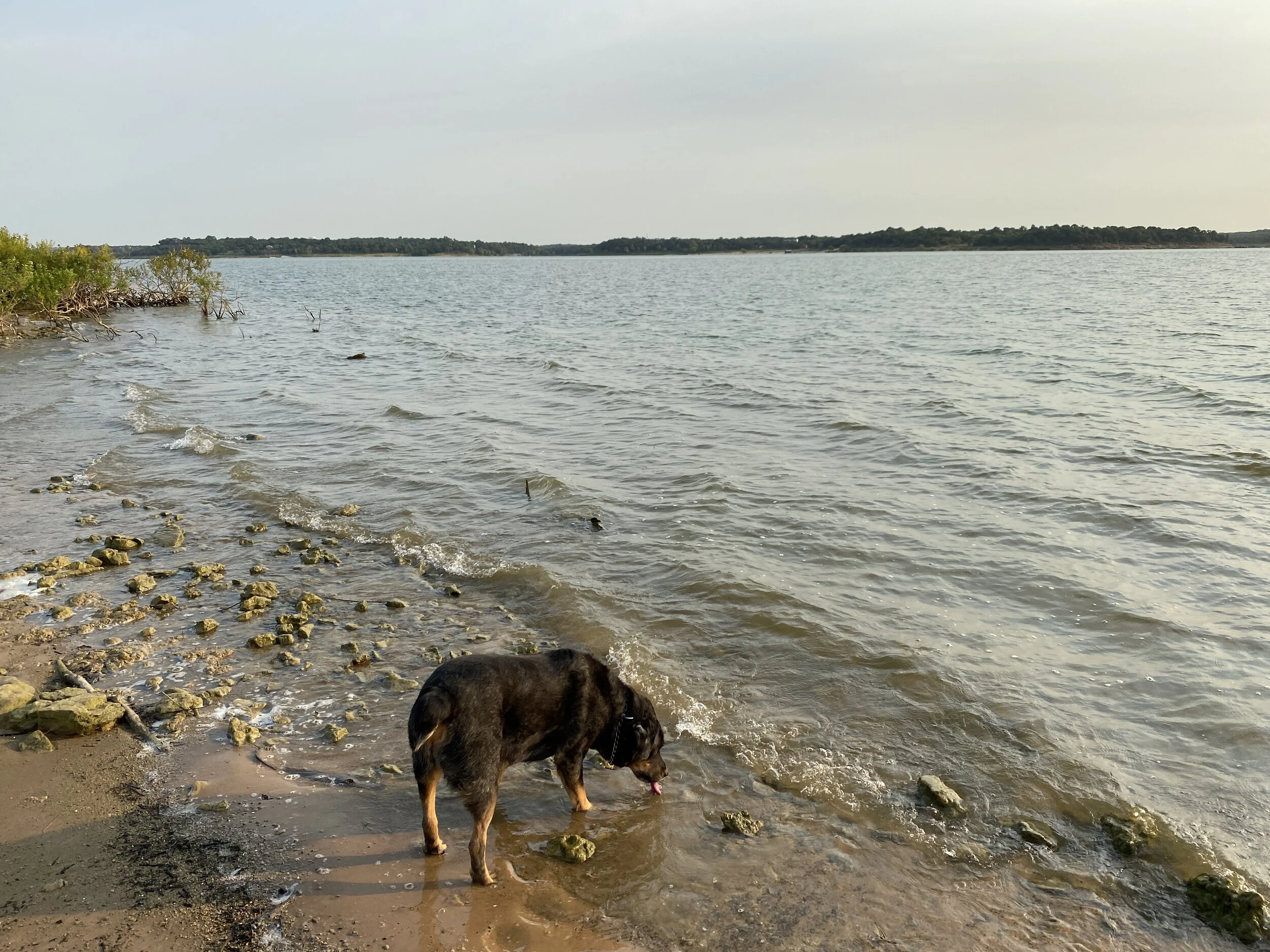
Solo Hikes: 17
Hikes with Dogs: 9
Unique Locations for 2018: 17
Unique States for 2018: 7 (Washington, Texas, Michigan, Minnesota, New Mexico, Oklahoma, Utah)
Unique NPS Unit for 2018: 4 (Arches, Olympic, Wichita Mountains Wildlife Refuge, Santa Fe National Forest — I visited others, just didn’t hike-hike)
Unique State Park for 2018: 6 (Dinosaur Valley State Park, Colorado Bend State Park, McKinney Falls State Park, Tyler State Park, Tahquamenon Falls State Park (MI), Cleburne State Park)
With 31 hikes, I was only 30.68 miles away from my 2017 total mileage which means my 2018 hikes were longer on average
Average Hike Distance: 5.86 miles
Shortest Hike: 2.75 miles (Herman Vogler Conservation Area, Rogers City, MI)
Longest Hike: 9.55 miles (Dinosaur Valley State Park, Glen Rose, TX)
2018 Thoughts
If I had continued onward, I would have reached my goals set in January of 300-400 miles. I have to keep those goals for 2019 by keeping my average hike length above 6 miles. I did a lot of repeat hikes, mostly at Dinosaur Valley State Park and my other local haunts, and that’s okay but I think that’s part of why I burned out so quickly. The year was rainy, very rainy, and when it rains in Texas a lot of the trails are impassable.
I was sleeping in more in 2018, and it’s because I wasn’t sleeping well because I wasn’t taking care of myself. I was mildly depressed, didn’t want to get motivated for anything, and it really showed in the total number of outings I did. I was making excuses to go out the next day or do two on a Sunday, but it was really me just quitting before I started. I’m really going to have to work hard on that for 2019.
2019 Goals
Reach 300 miles
Hike more than 52 times
Count everything - even a mile
Shoot for 400 miles
Hike 10% of the hikes in National Parks
Stop worrying about stats, really… after listing stats as goals
Learn about the land I’m hiking on and process that
2019 Thoughts
I really want to get back to my 2017 mindset of just making sure I get up and out EVERY weekend when humanly possible. I was staying home and doing NOTHING instead of hiking on beautiful days, even very recently. No more. Stats are cool, but what I meant about not worrying about them was just focusing on getting out. 2019 will be the hiking season of GETTING OUT WHENEVER POSSIBLE.
I also want to meet more hikers, and have more meetups. Who’s interested in hiking with me? I’m in Dallas-Fort Worth, so it’s easy to get to many places near and far.
Here’s to a new season of getting outside and learning about the land.

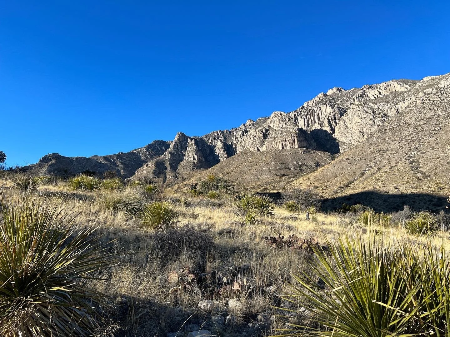
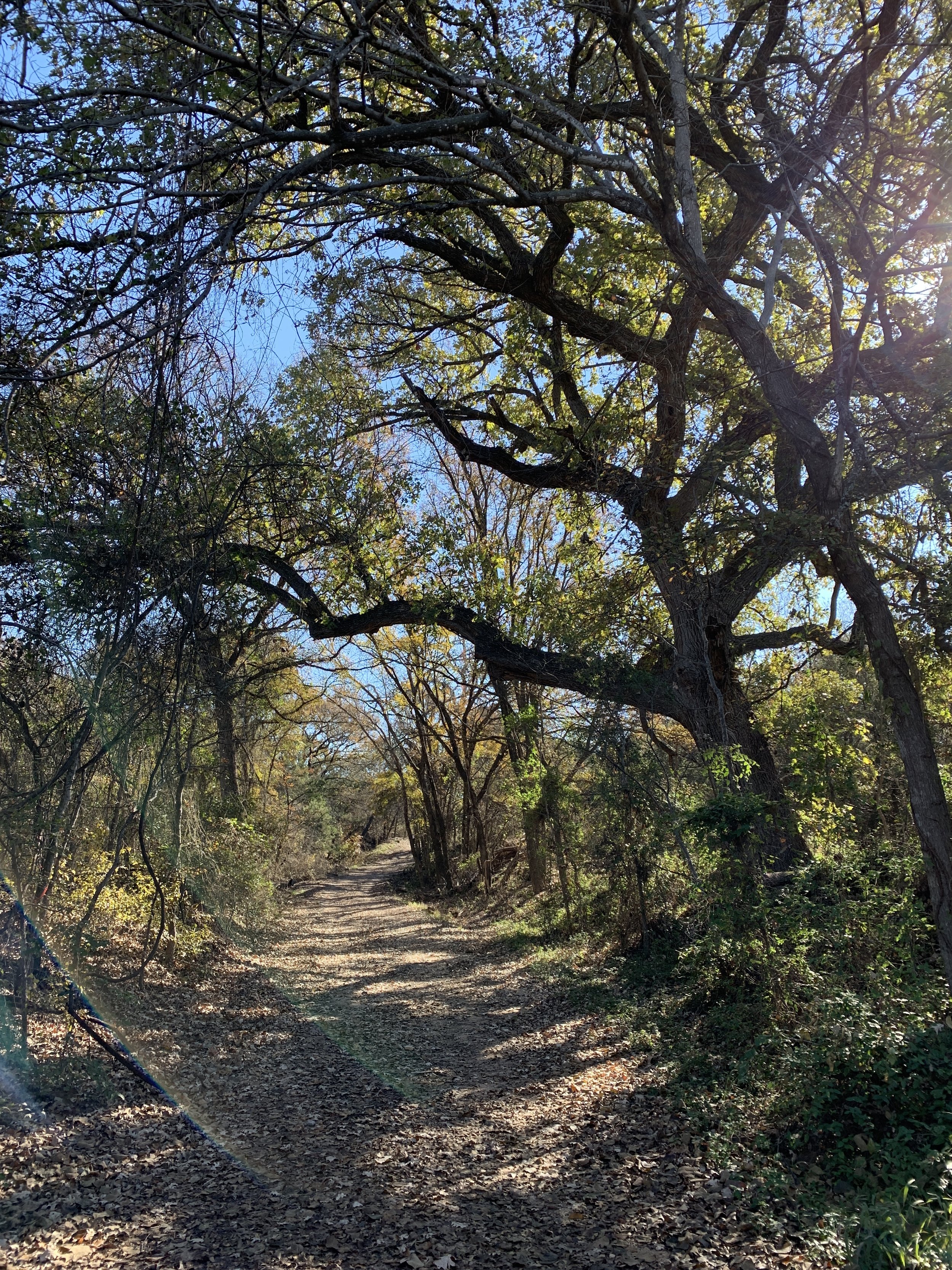
#hike31 - Dinosaur Valley State Park
Date: November 17, 2018
Location: Dinosaur Valley State Park
Distance: 4 Miles
Trails: Equestrian Trails
This is only a week late… or more.
My aunt and I did another few miles at Dino Valley. We were, again, restricted to trails on the main side of the river so we did the equestrian trail that goes up in to the hillside and through a field. It was pleasant and not busy at all. We made our way along the river, through the campground, and back to the car.
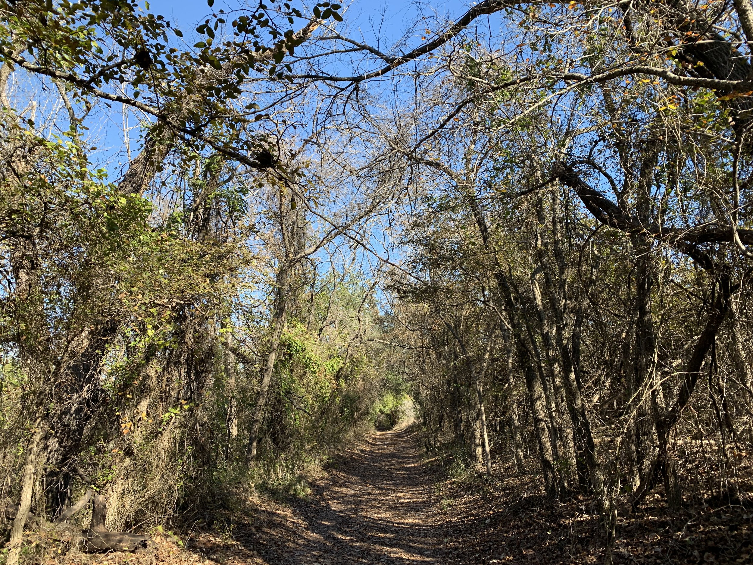

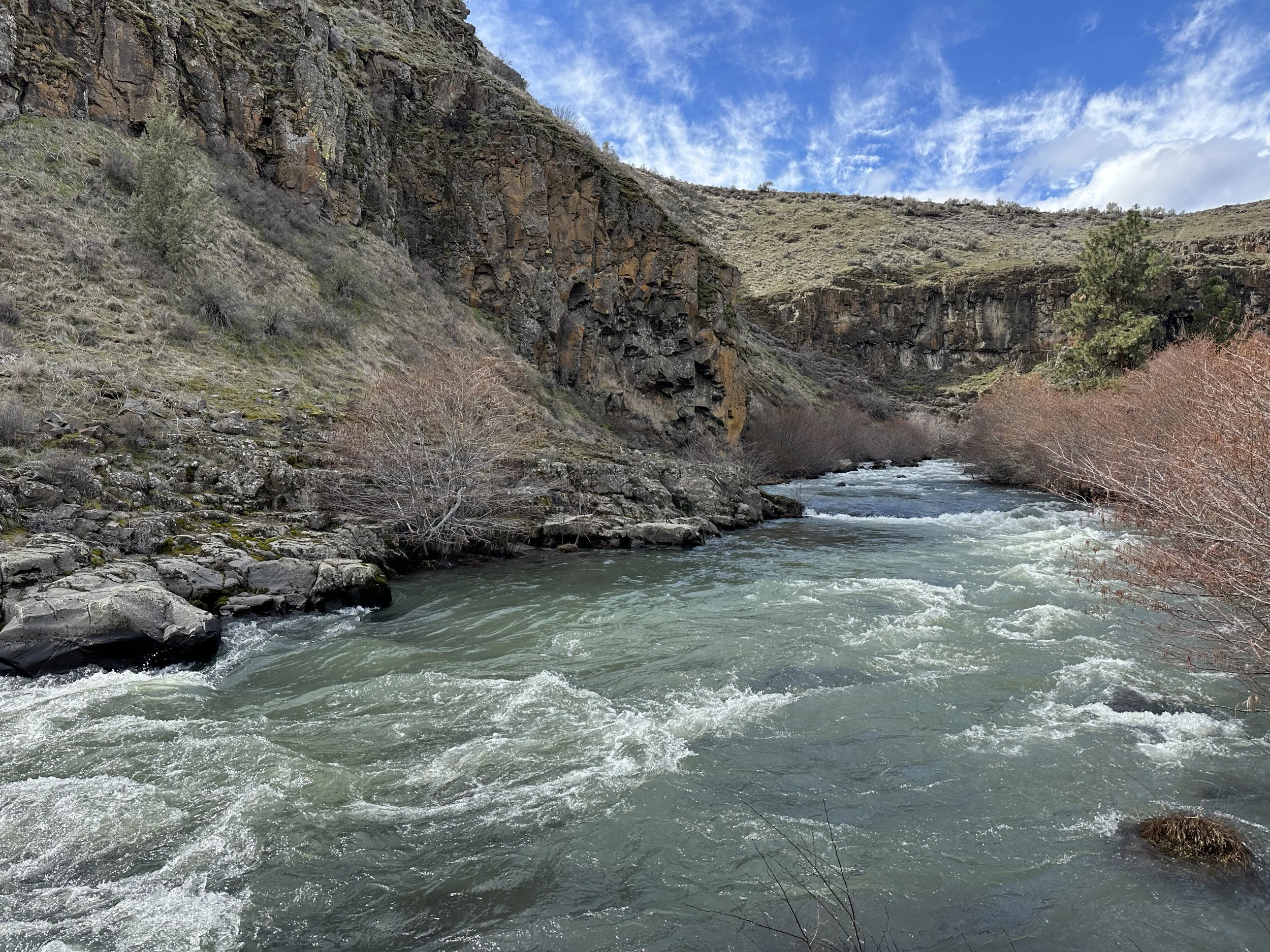
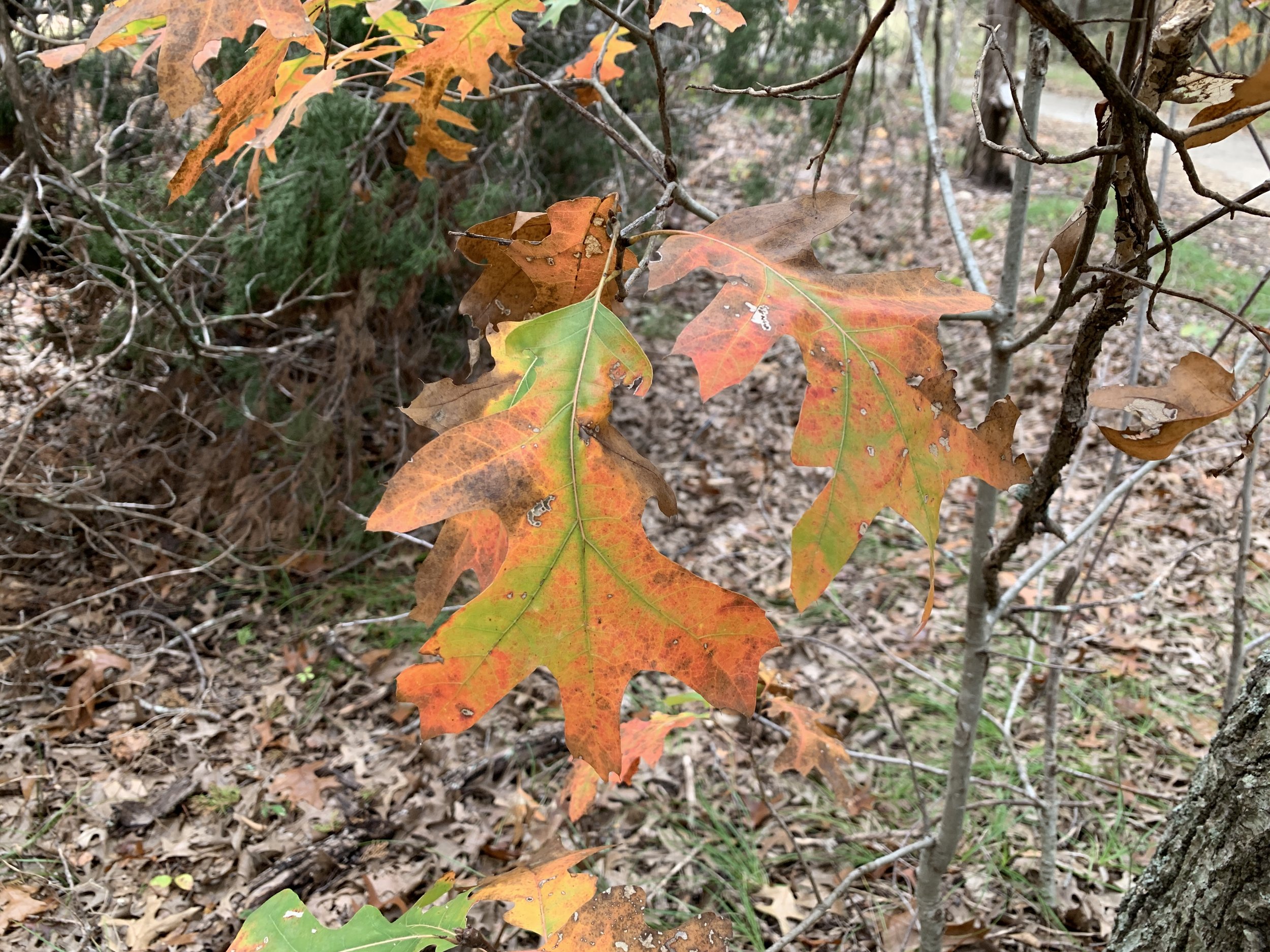
#hike30 - Dinosaur Valley State Park
Date: November 10, 2018
Location: Dinosaur Valley State Park
Distance: 3 miles
Trails: Paluxy River
My aunt and I were restricted to the trails on the main side, as the majority of the trails across the river were closed. We made the best of it, hiking along the river on the main side enjoying little viewpoints and a mix of trails/paved paths. Our hikes together often include our chats which are usually hilarious for us. The leaves had some color, the trees sky was overcast, and the air was crisp and cold. It wasn’t the longest hike, but it was fulfilling and nice to get out again. I’m a little behind with this year, but I will see it through the best I can!

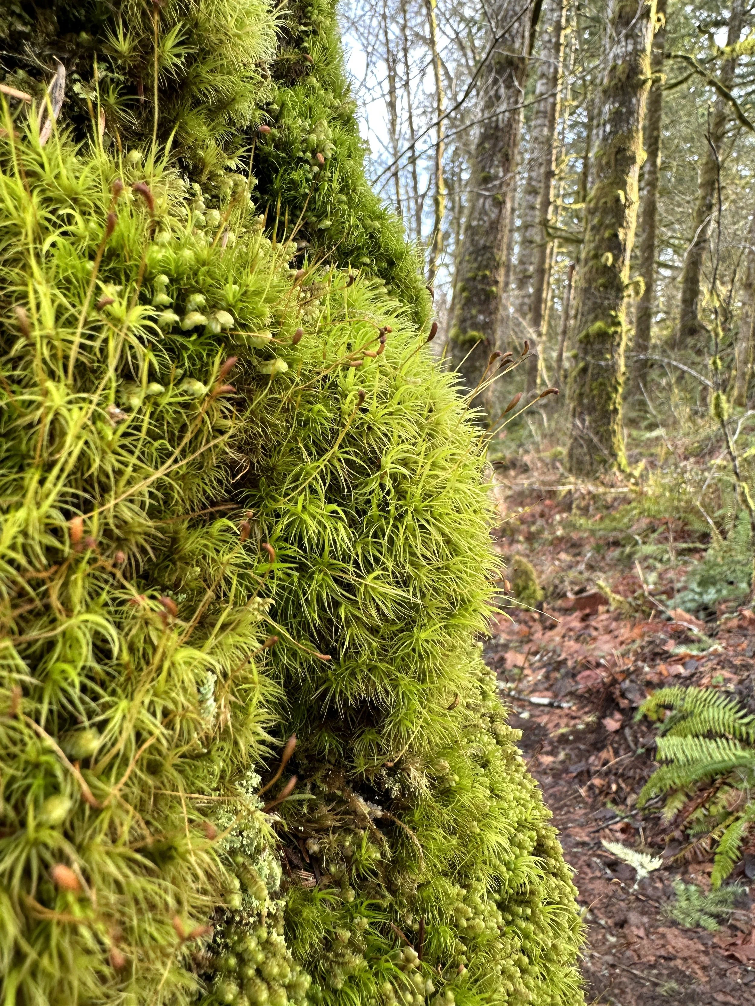
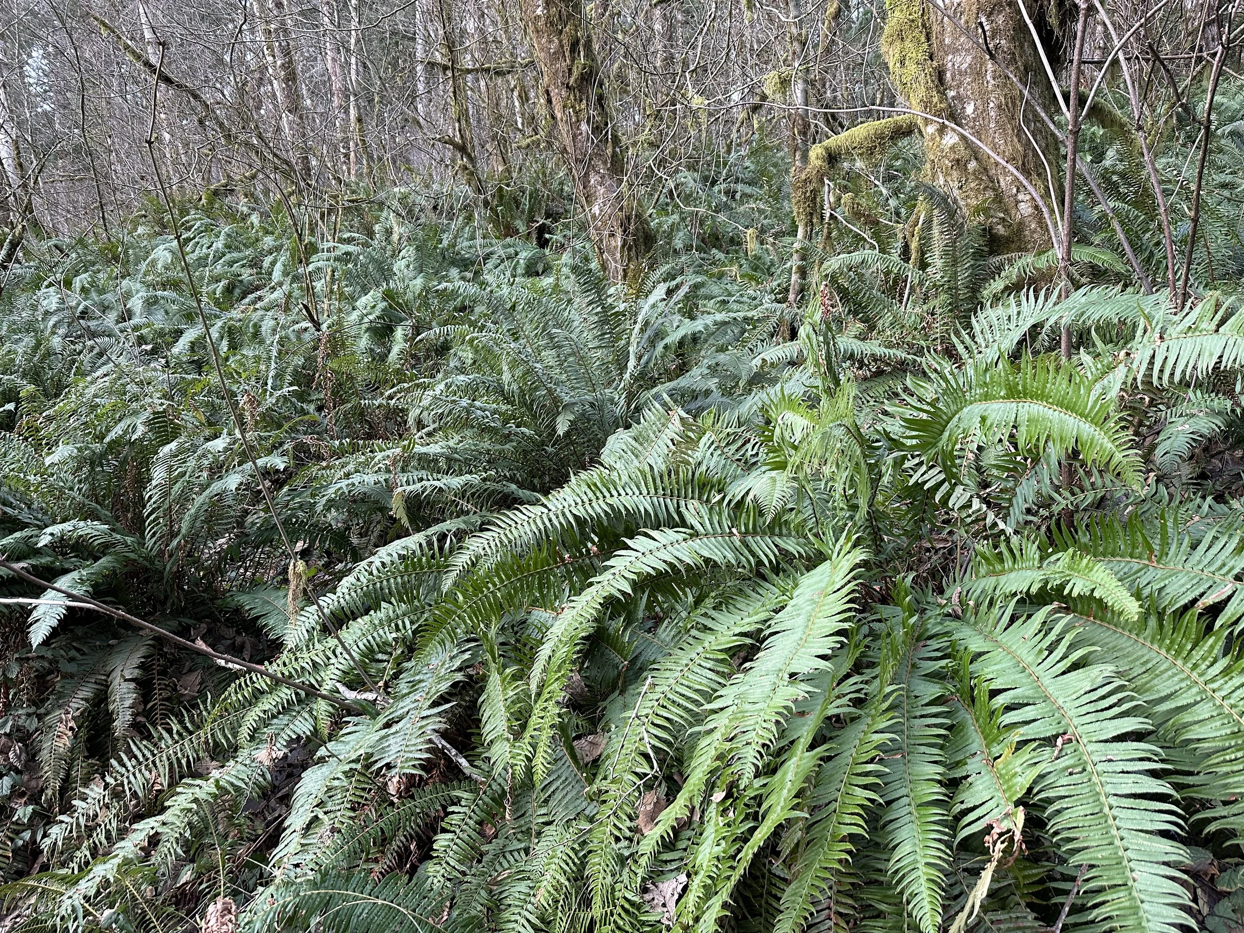
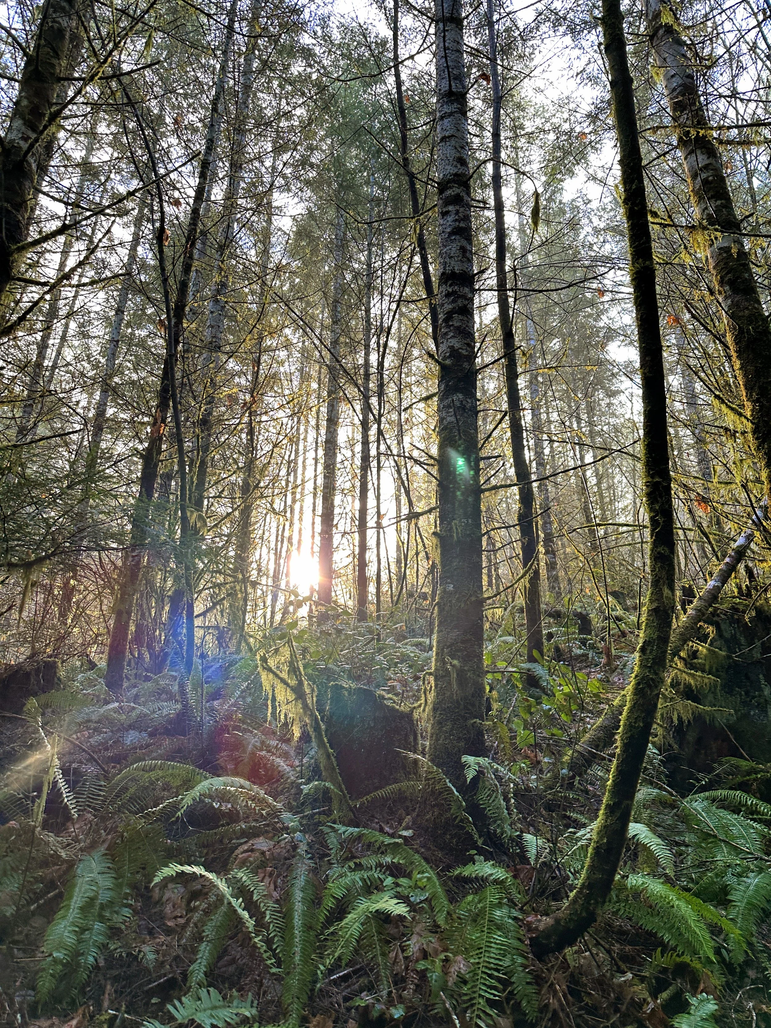
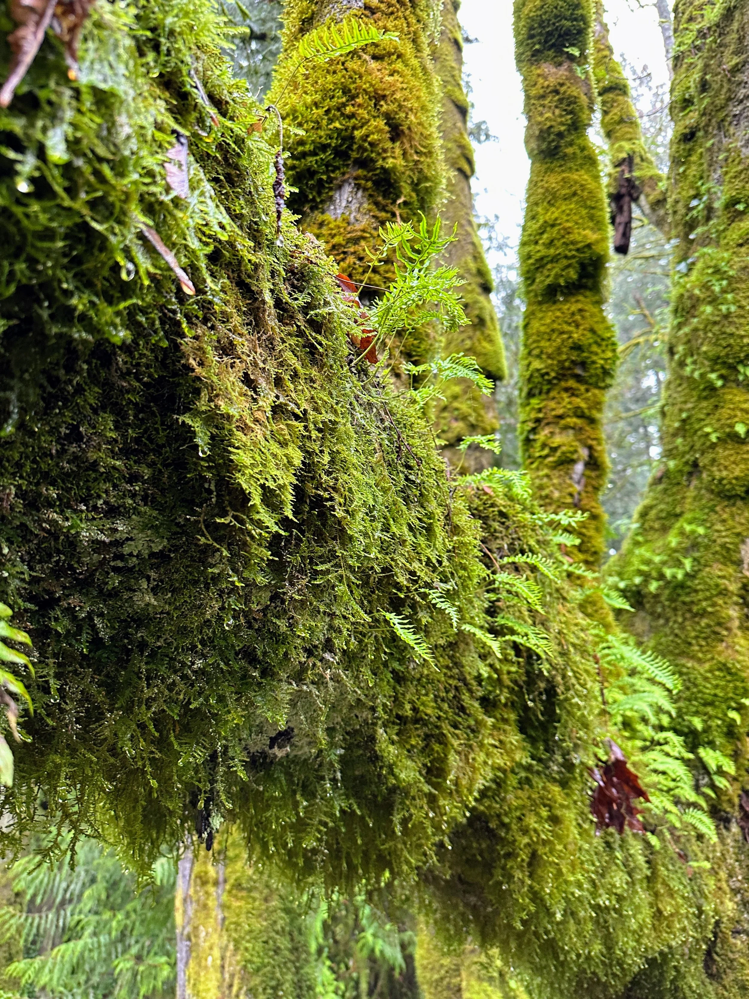
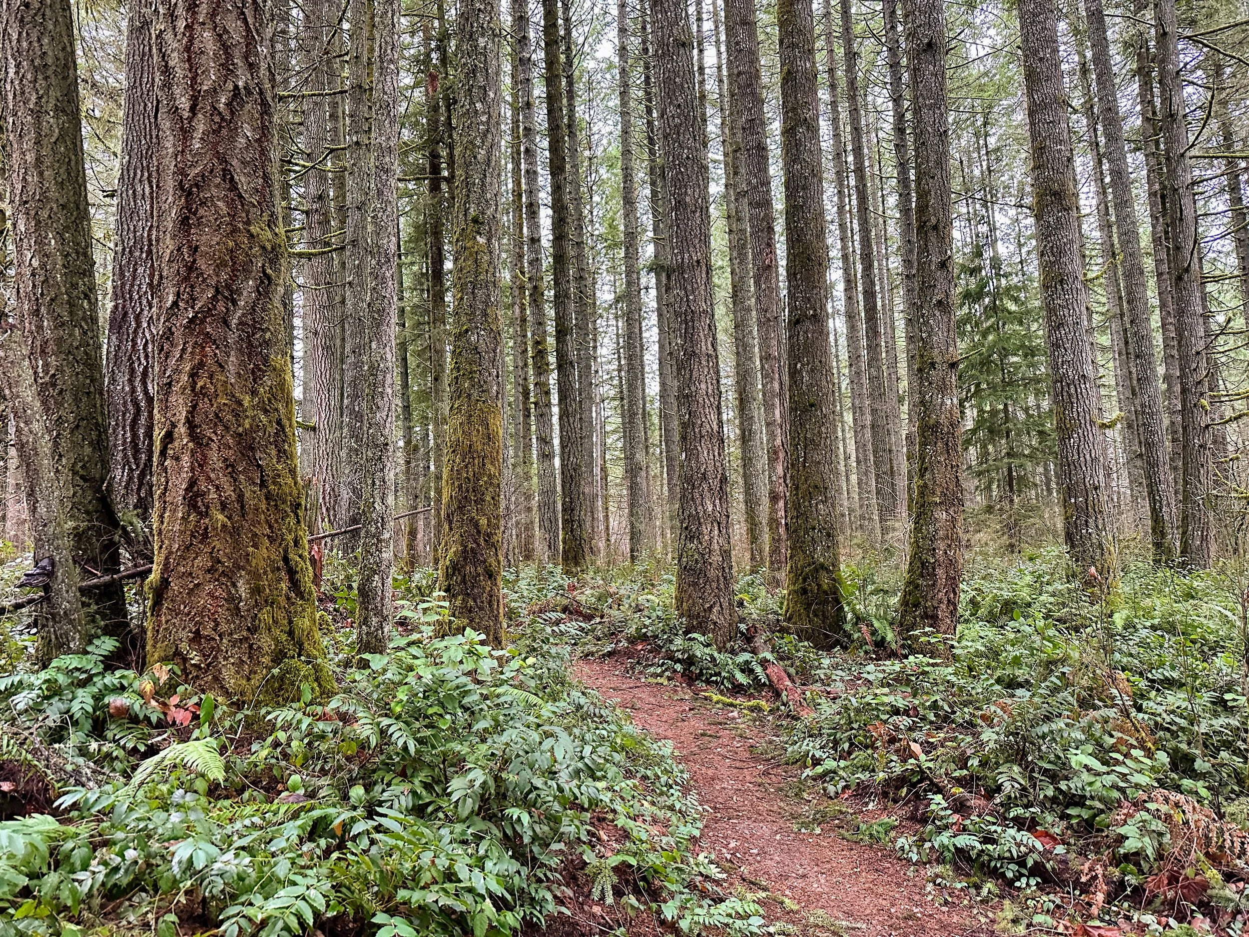
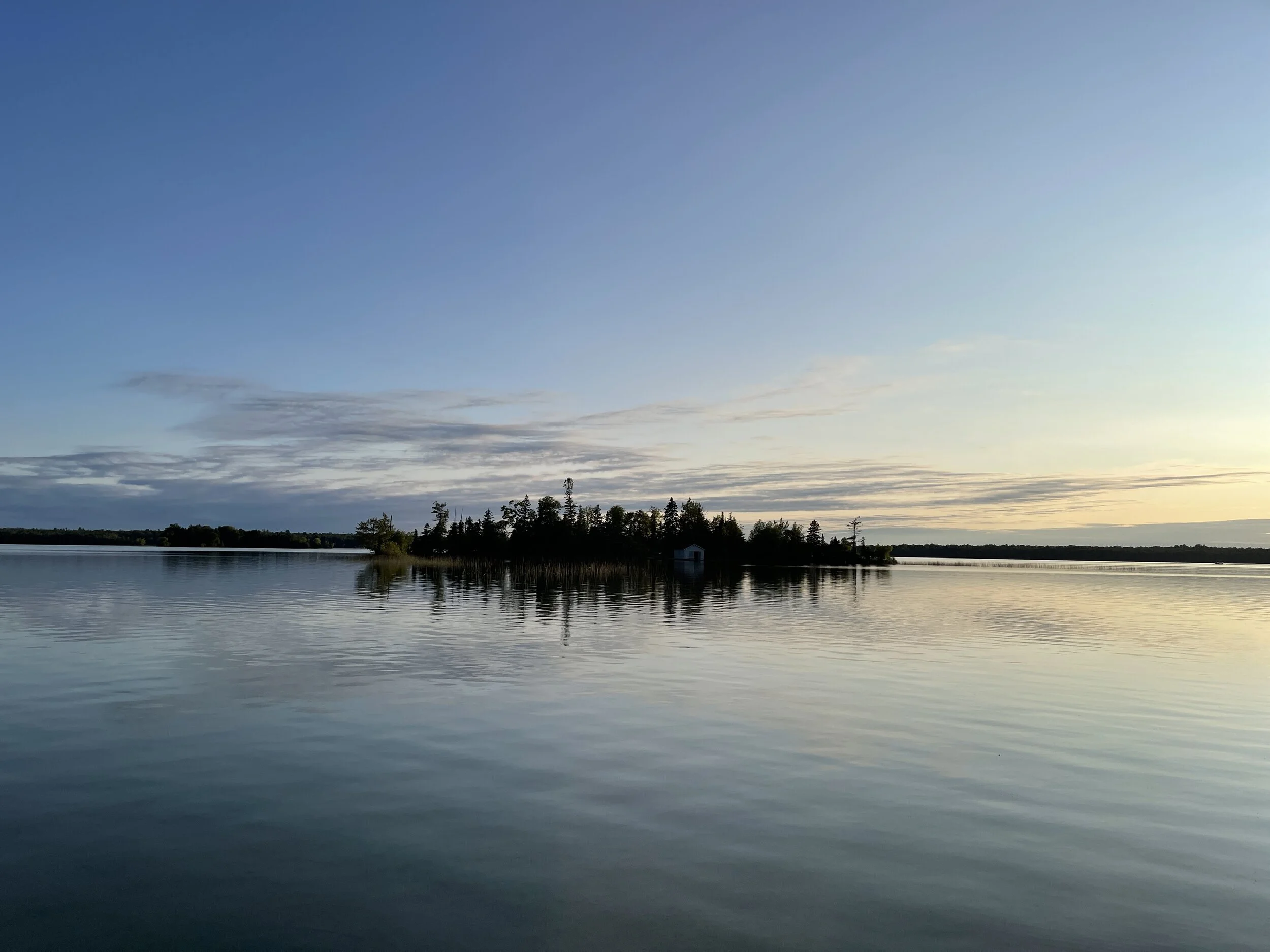
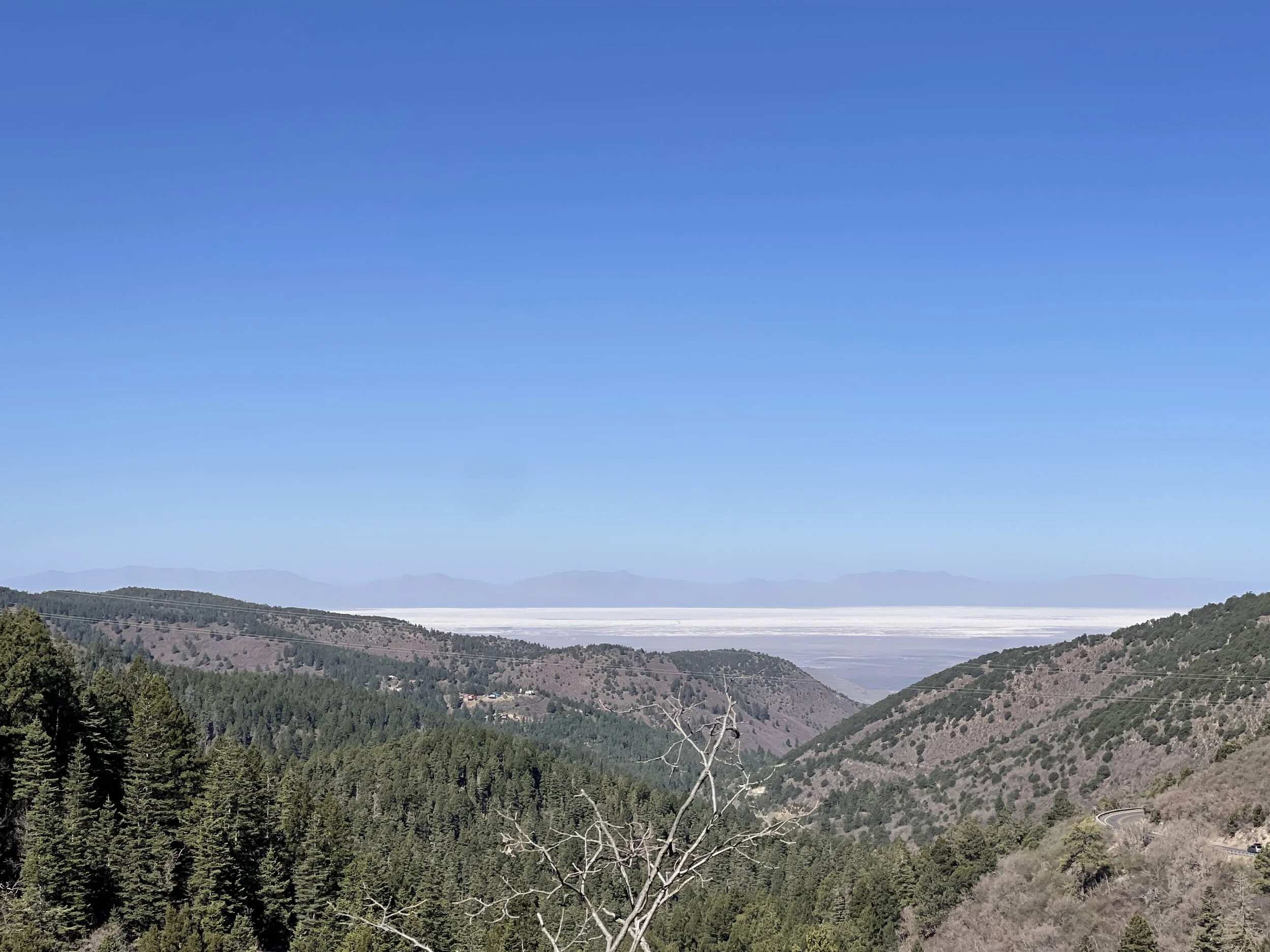
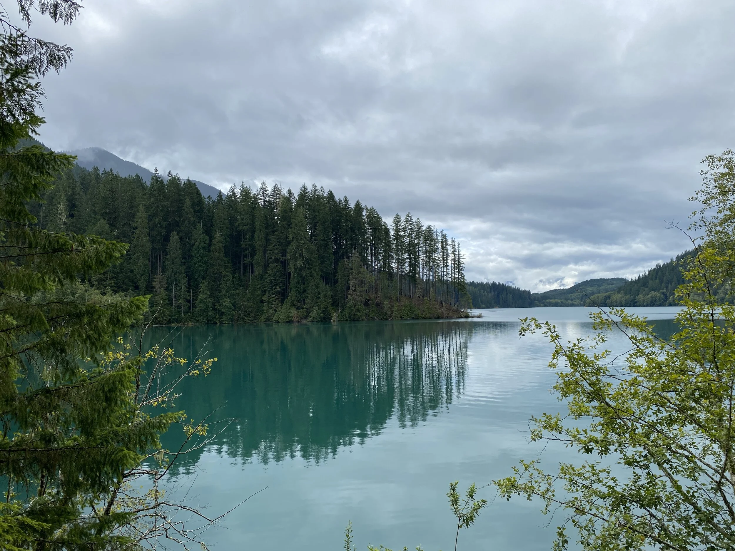
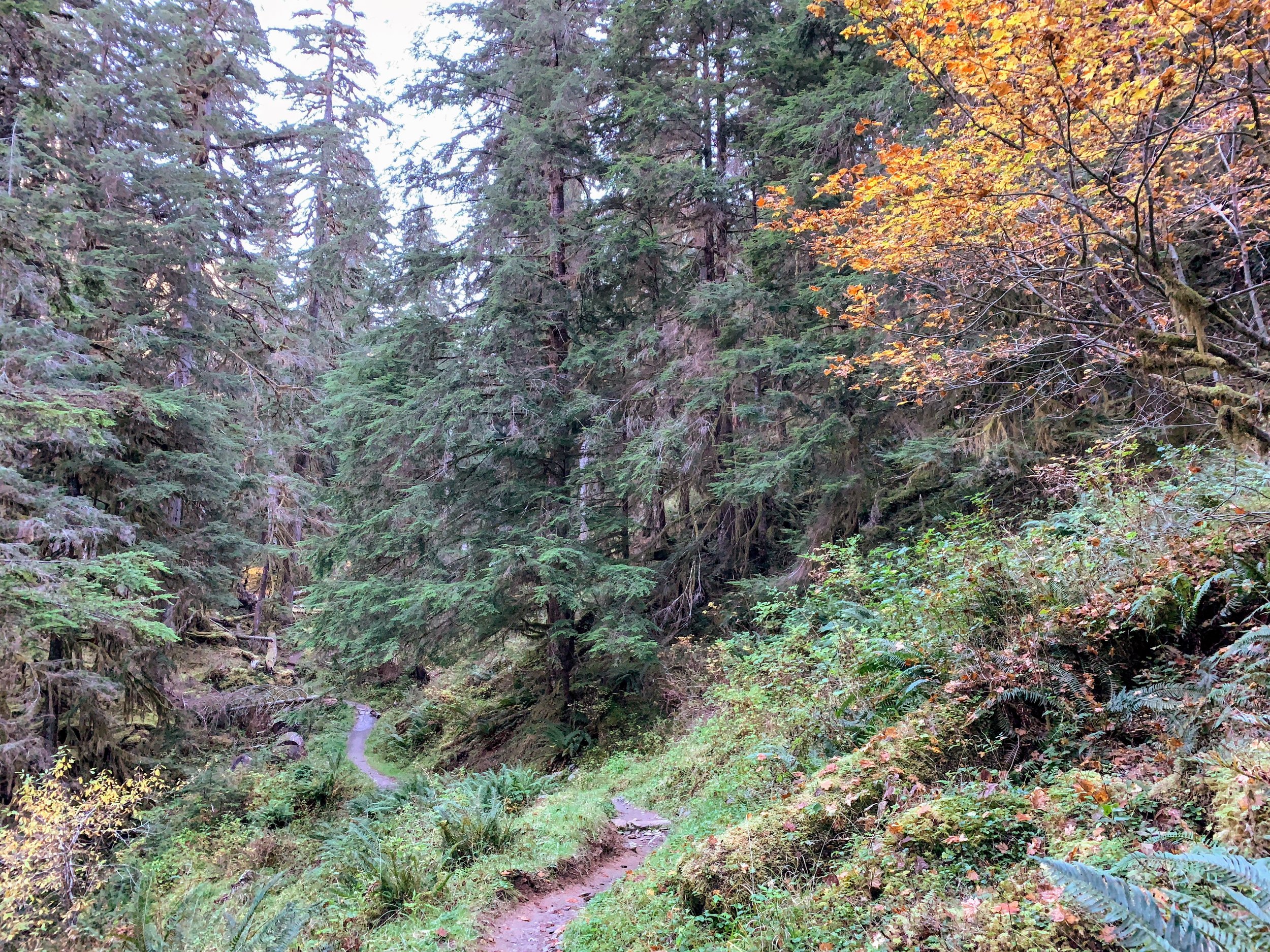
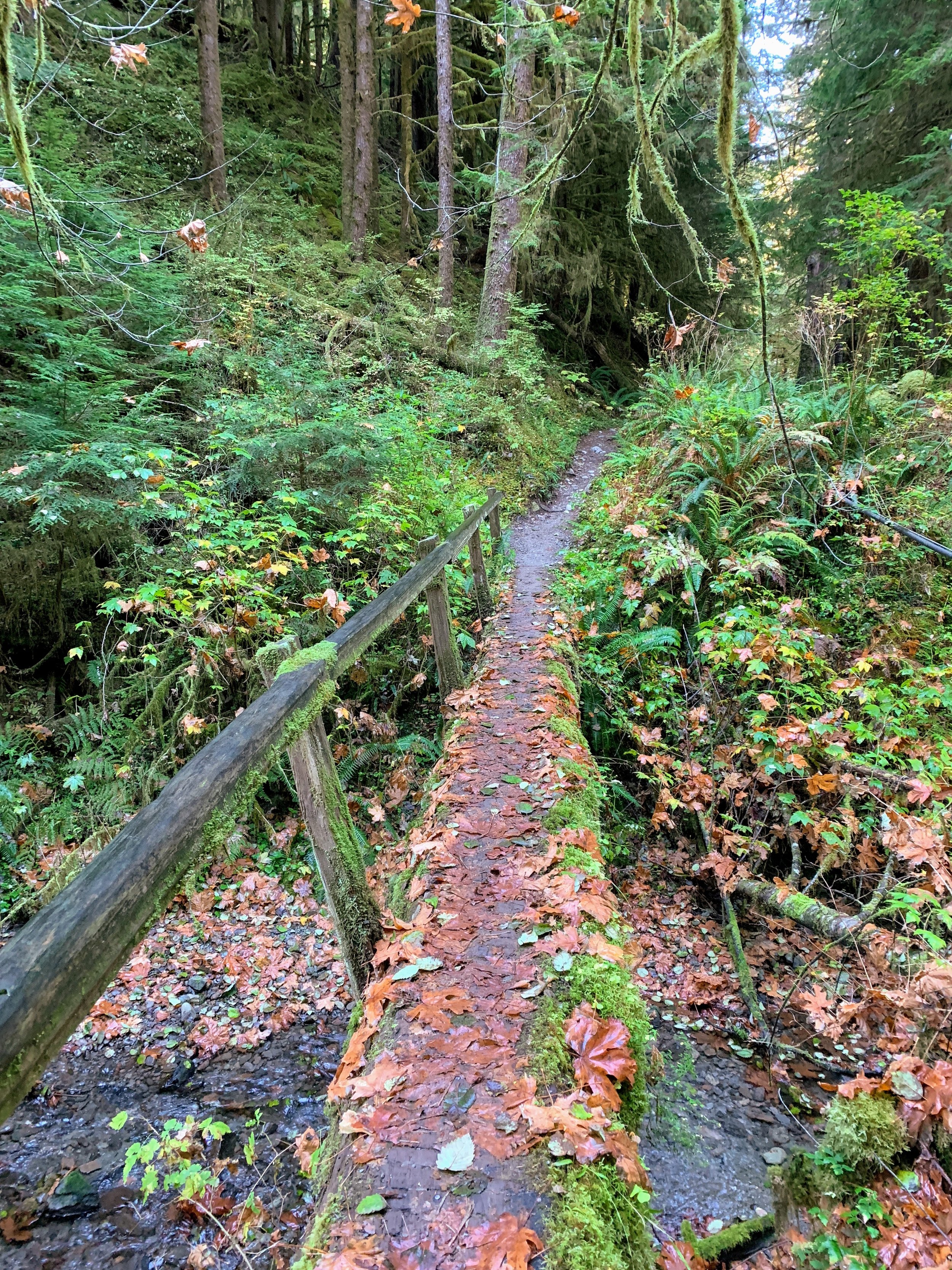
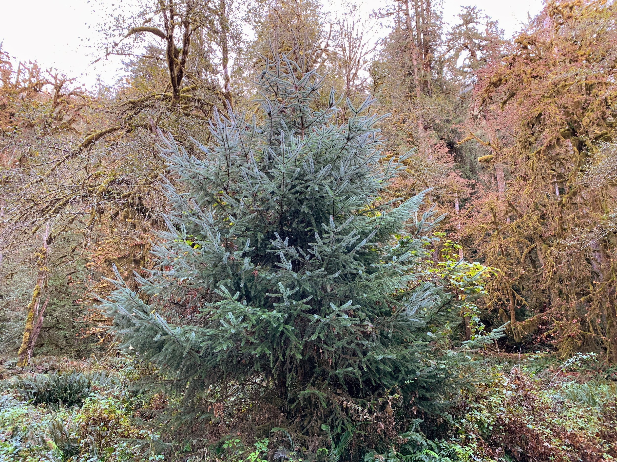
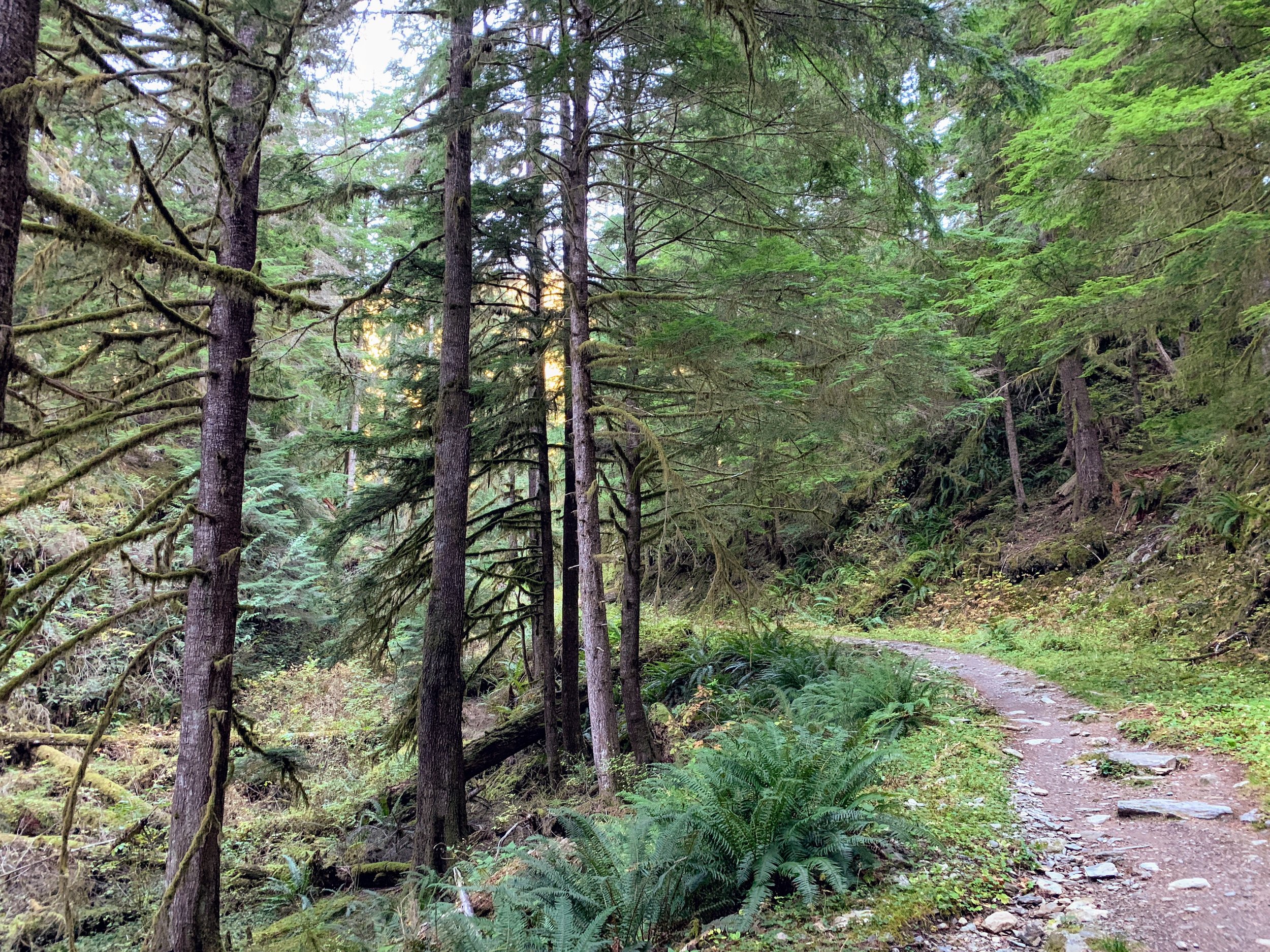
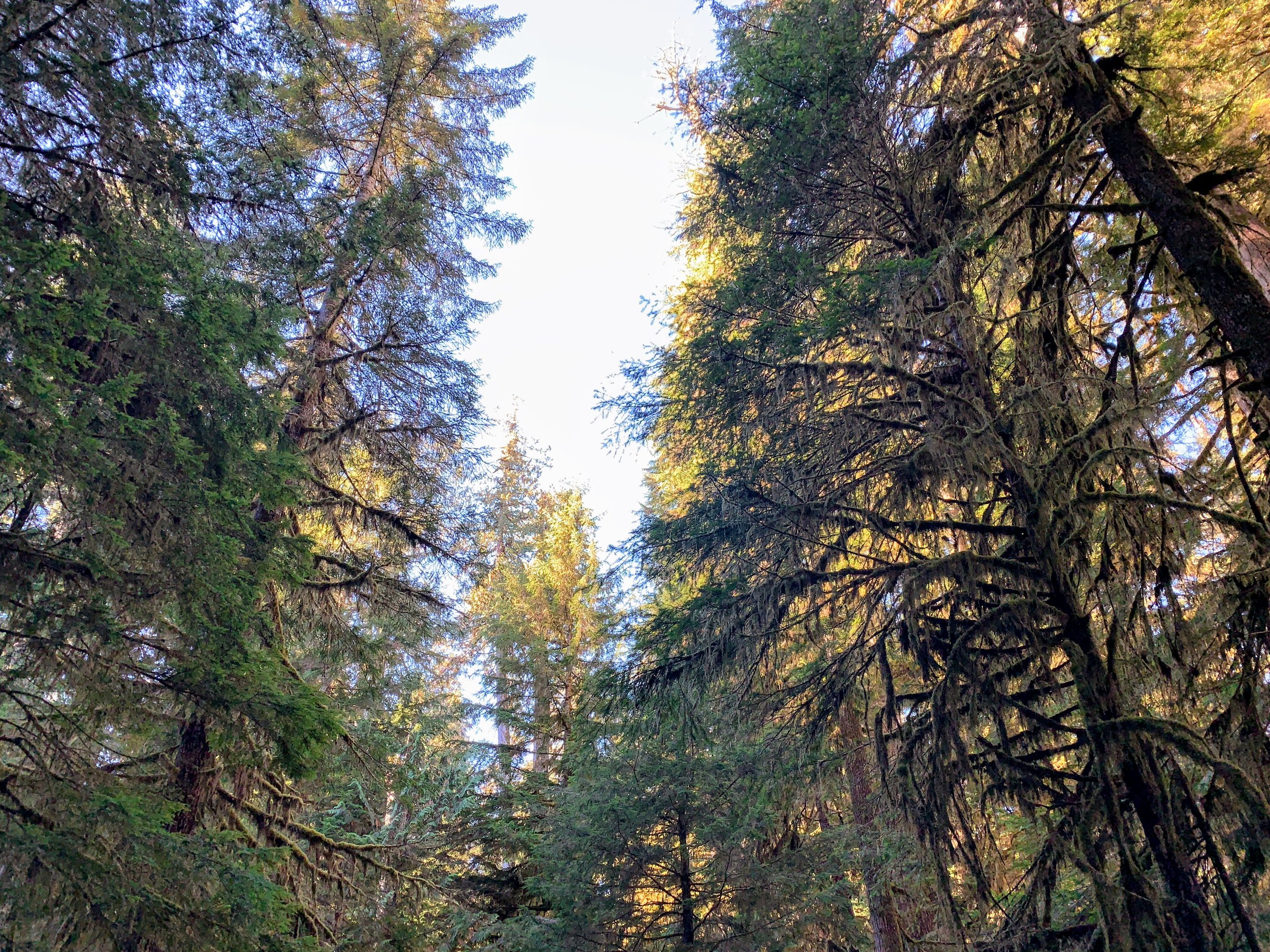
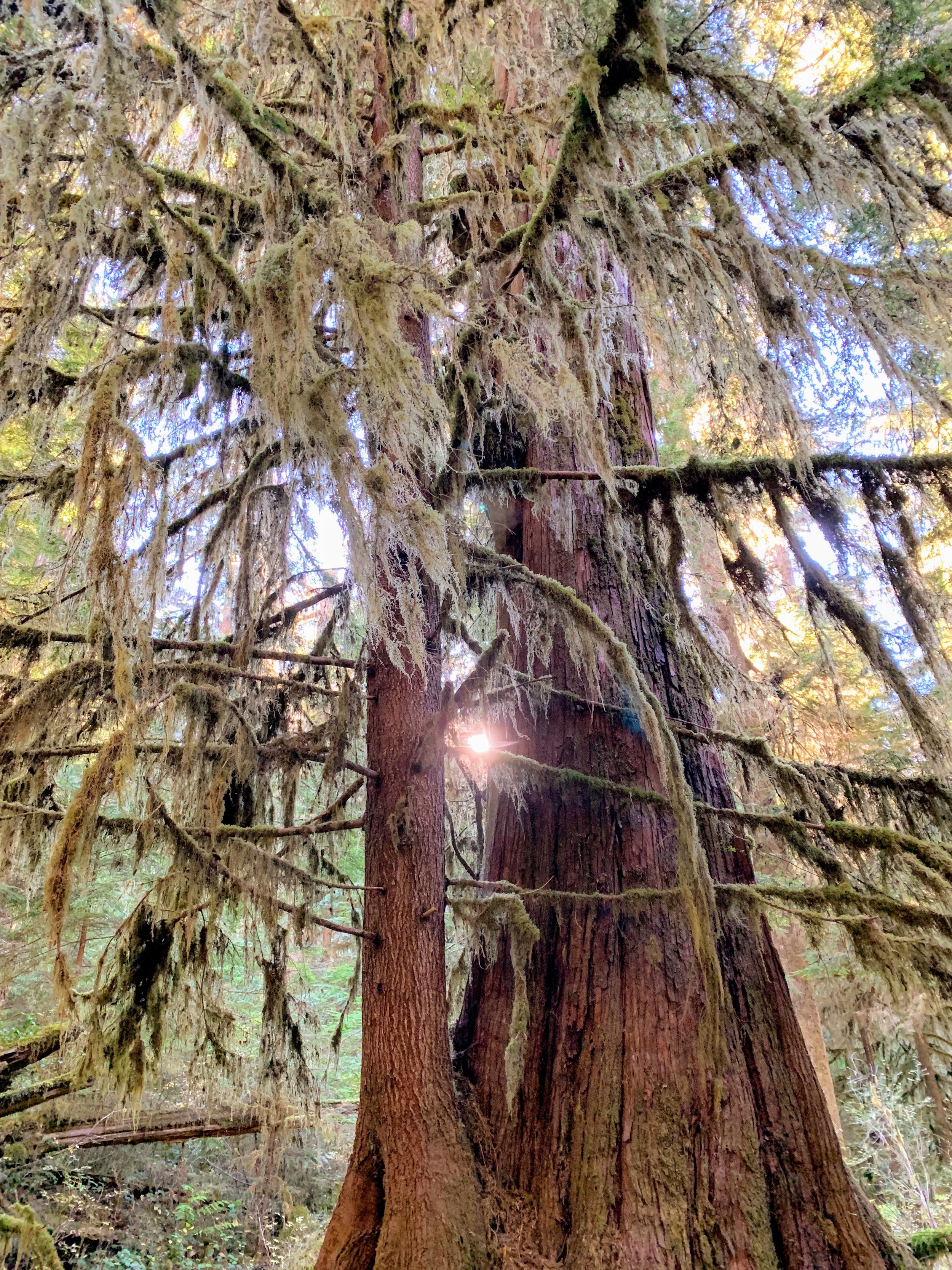
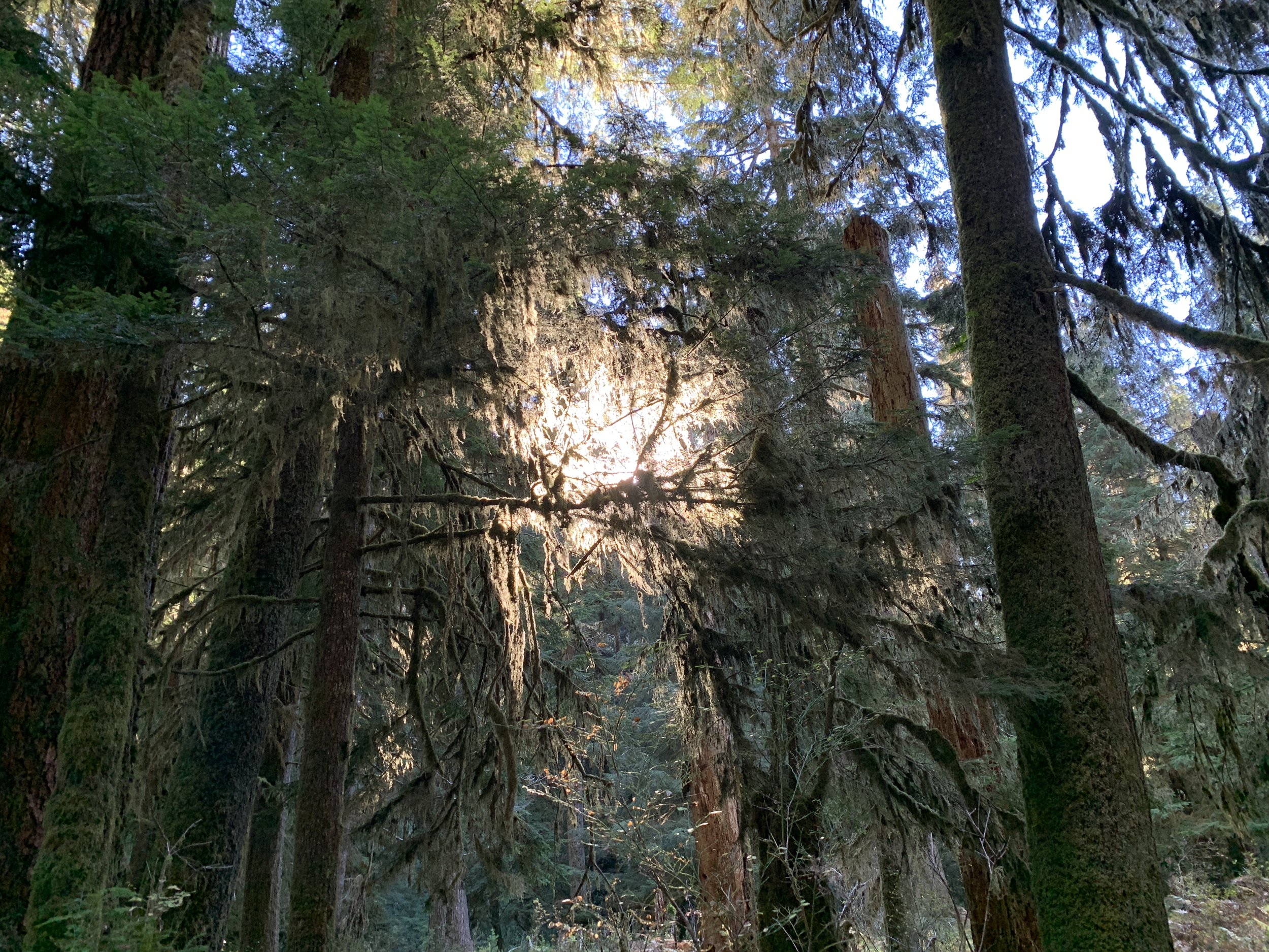
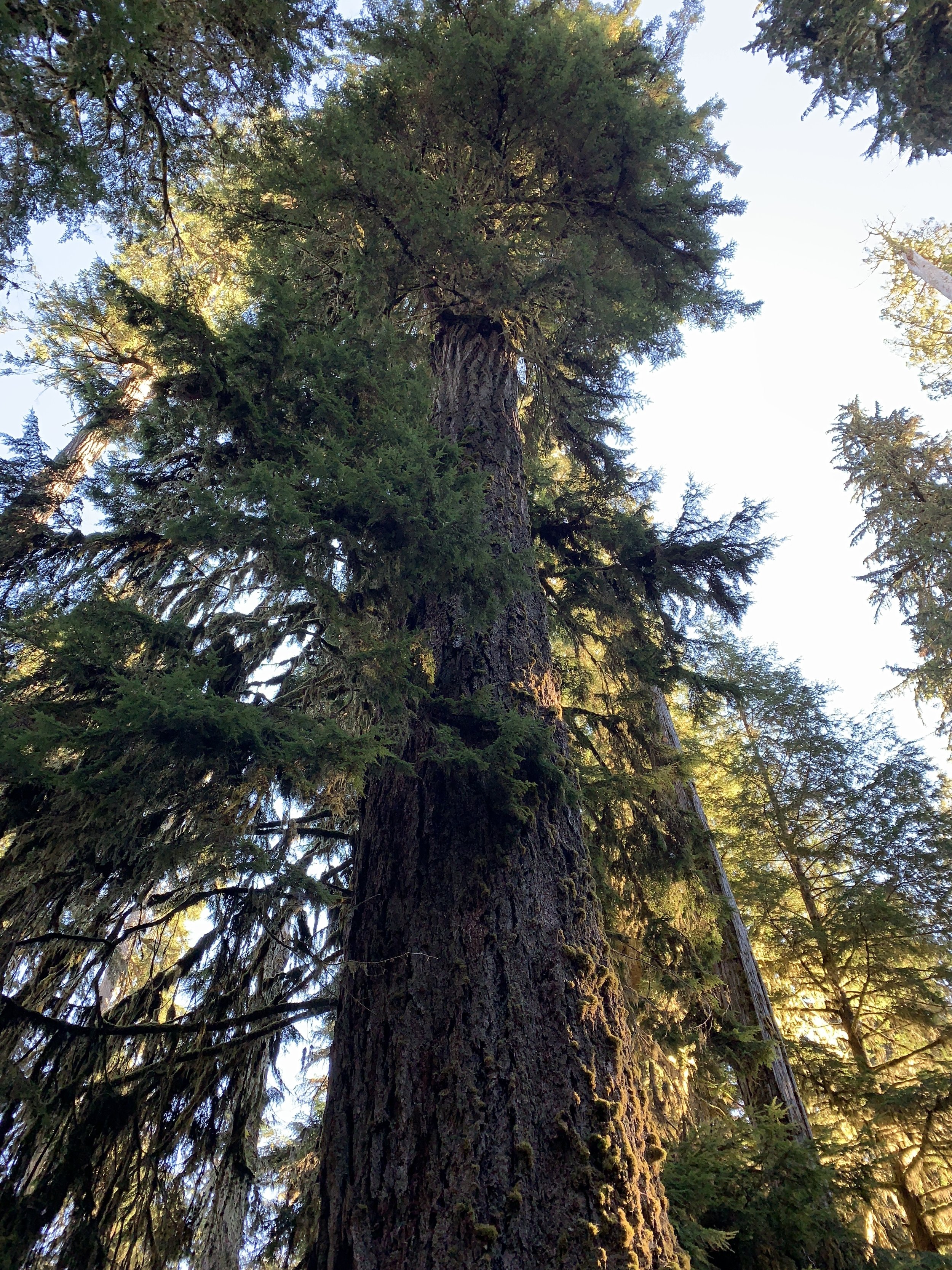
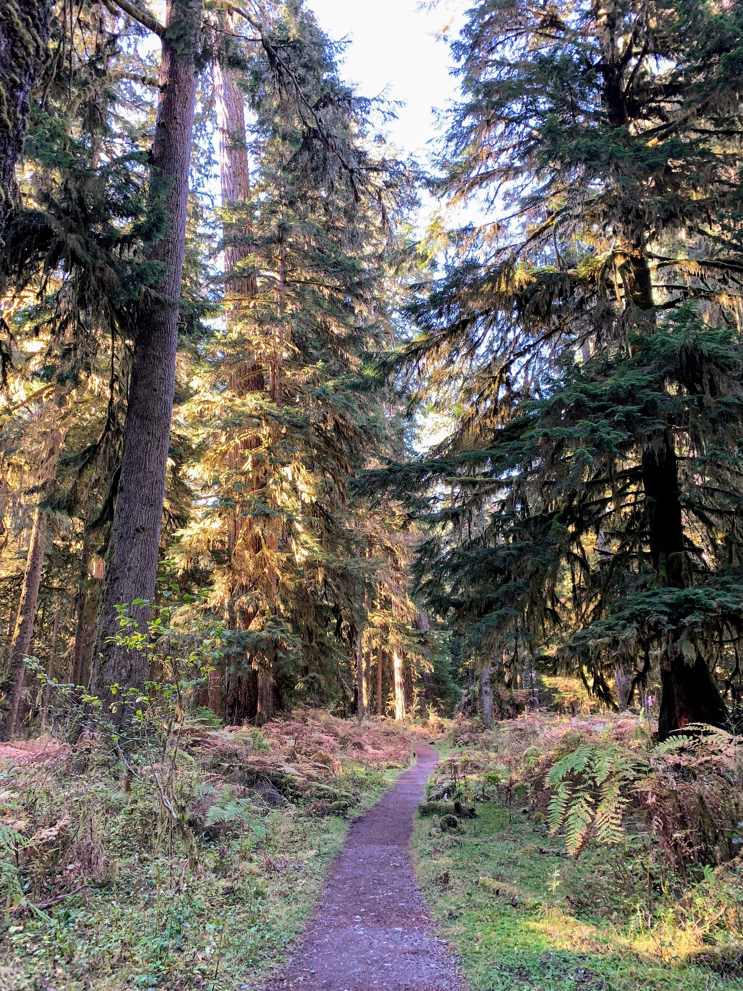
#hike29 - Olympic National Park
Date: October 20, 2018
Location: Olympic National Park - Quinault
Distance: 5 miles
Trails: Enchanted Valley Route (to Pony Bridge & back)
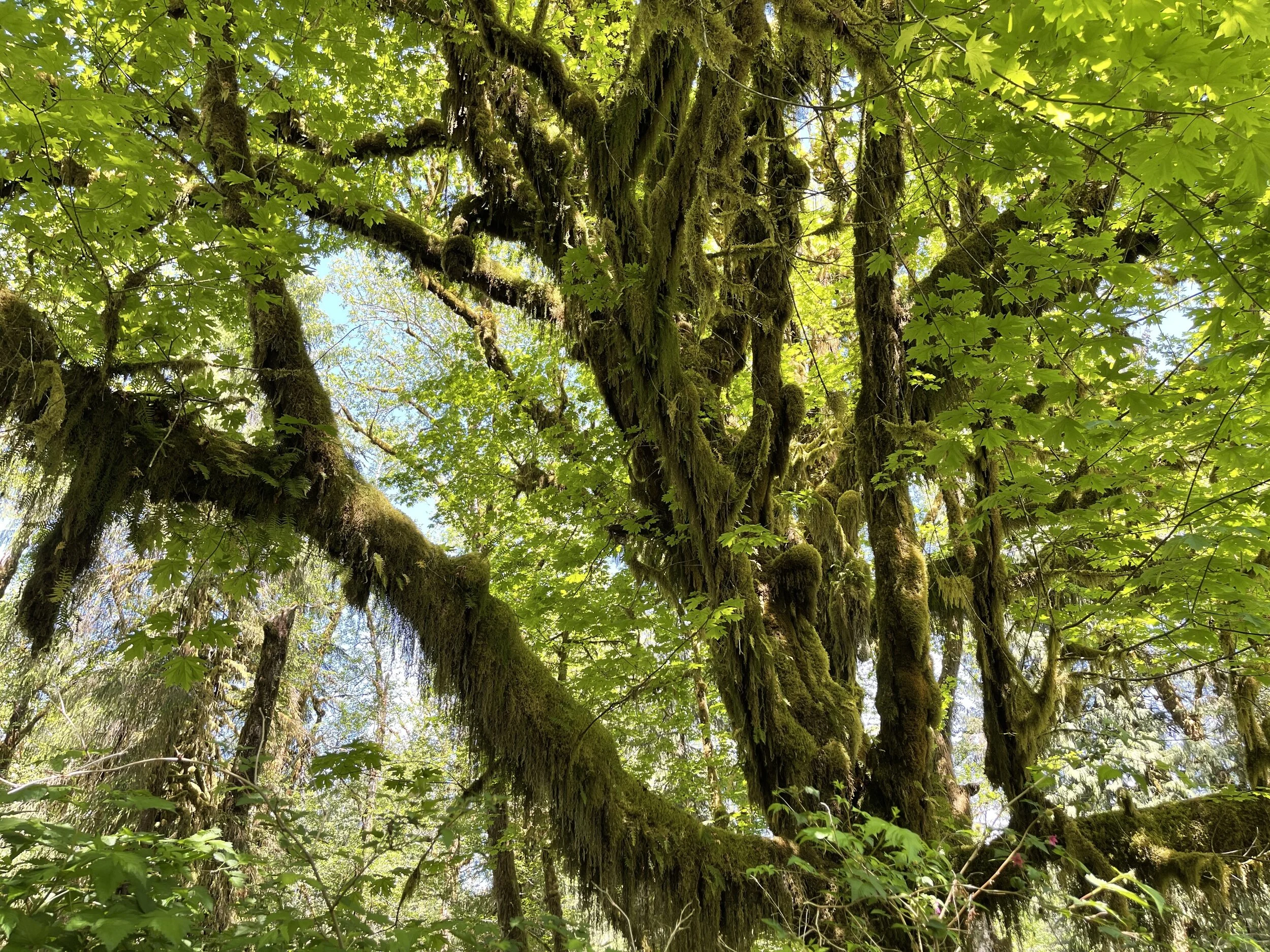
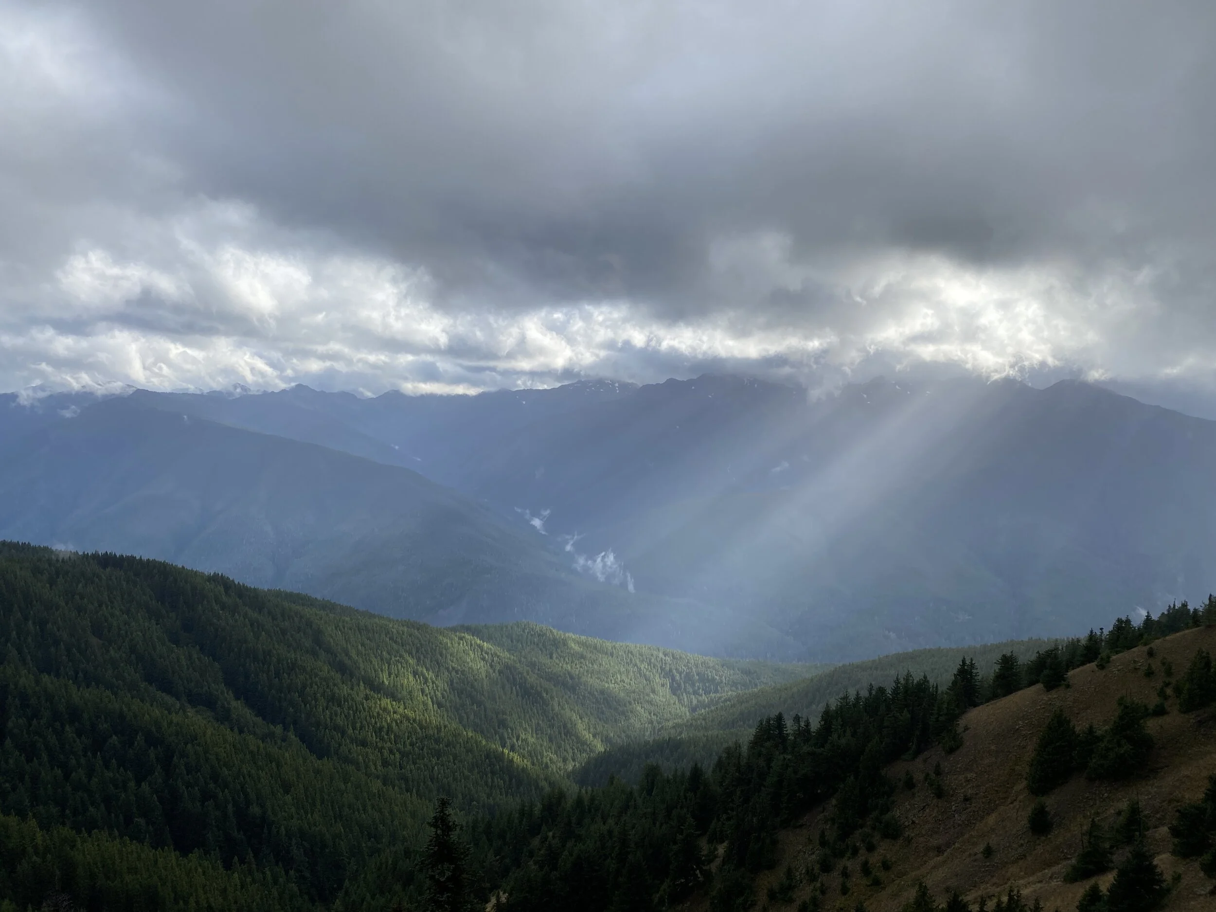
I finally did it - I went back outside. I know, it’s been a while, but I’ll blame the weather in Texas. Really, it was a combination of feeling uninspired and the weather, but that’s a topic for another day.
I decided an autumn trip to the great state of Washington was necessary to compare to my spring adventures. I went back to the Quinault region and hiked to Pony Bridge. When I last visited the Quinault region, it was rainy, windy, and cold. This time, it was sunny, cool, and windy out in the open spots.
The hike started with the drive from Olympia, WA to the Graves Creek Campground/Trailhead. I started early, in the dark and fog, and go to the Quinault turn off as the sun started to illuminate the low hanging clouds.
The road beyond Lake Quinault goes through the valley where there are private residences and then follows the river. You take a turn off onto a gravel road and go about six miles along the river to the trailhead. The road winds through big trees, over various creeks, and is bumpy yet fun to experience.
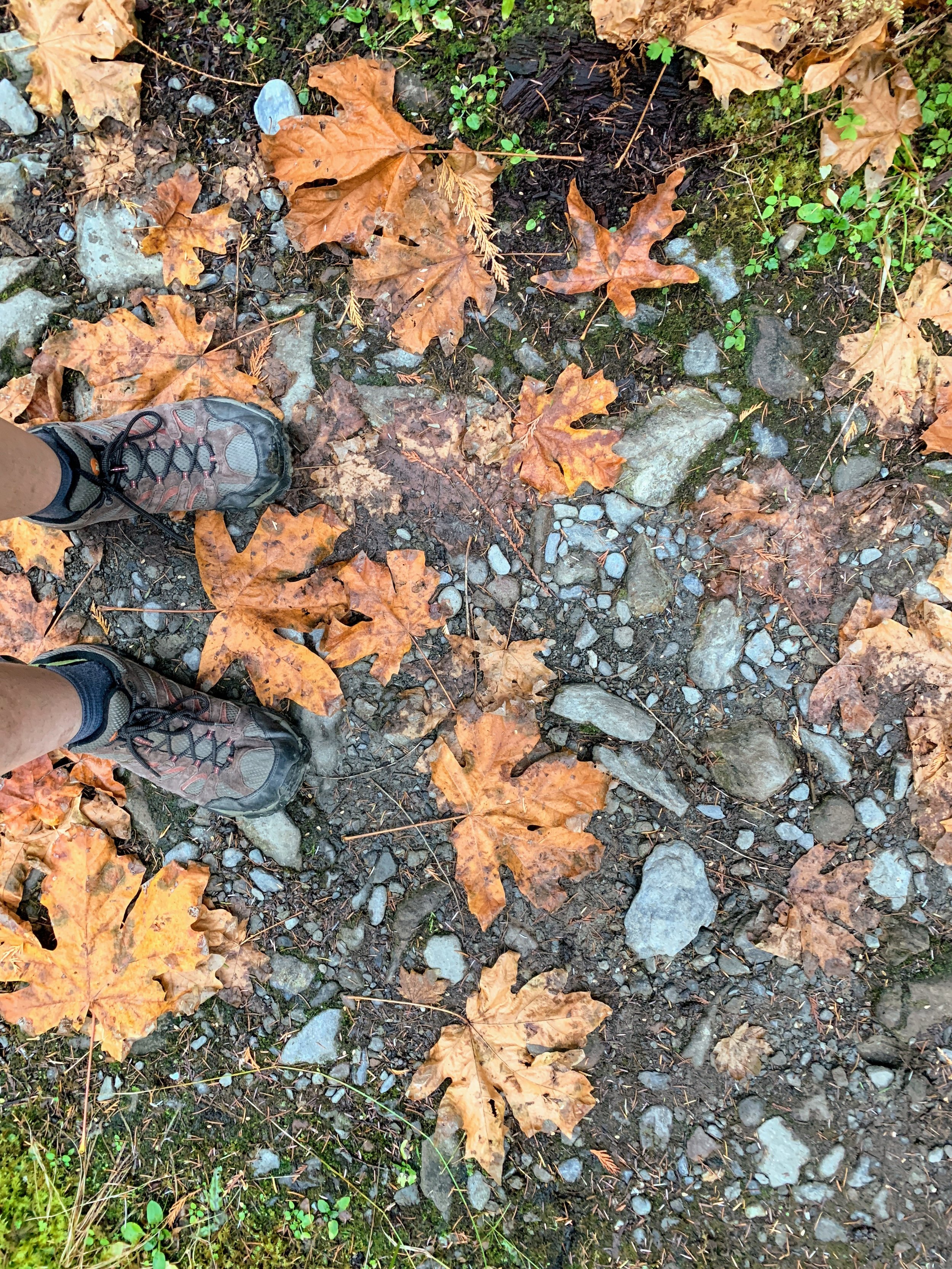
I had planned for somewhat warm weather, ignoring the morning and night temps. I showed up to the trailhead in shorts and a hoodie, thinking I’d be fine. I was fine, but it was definitely chilly. It was somewhat dim yet, even being 8:40am. I was on a time crunch with this hike because my priority for the day was getting back to the suburbs and meeting a friend who was going to show me Mount Rainier National Park. I set off at a more rapid than usual pace for me, up the gradual elevation gain for the first two miles. It is a gorgeous, tree lined trail with all the lush rain forest vibes and hints of bright yellow autumn moments.
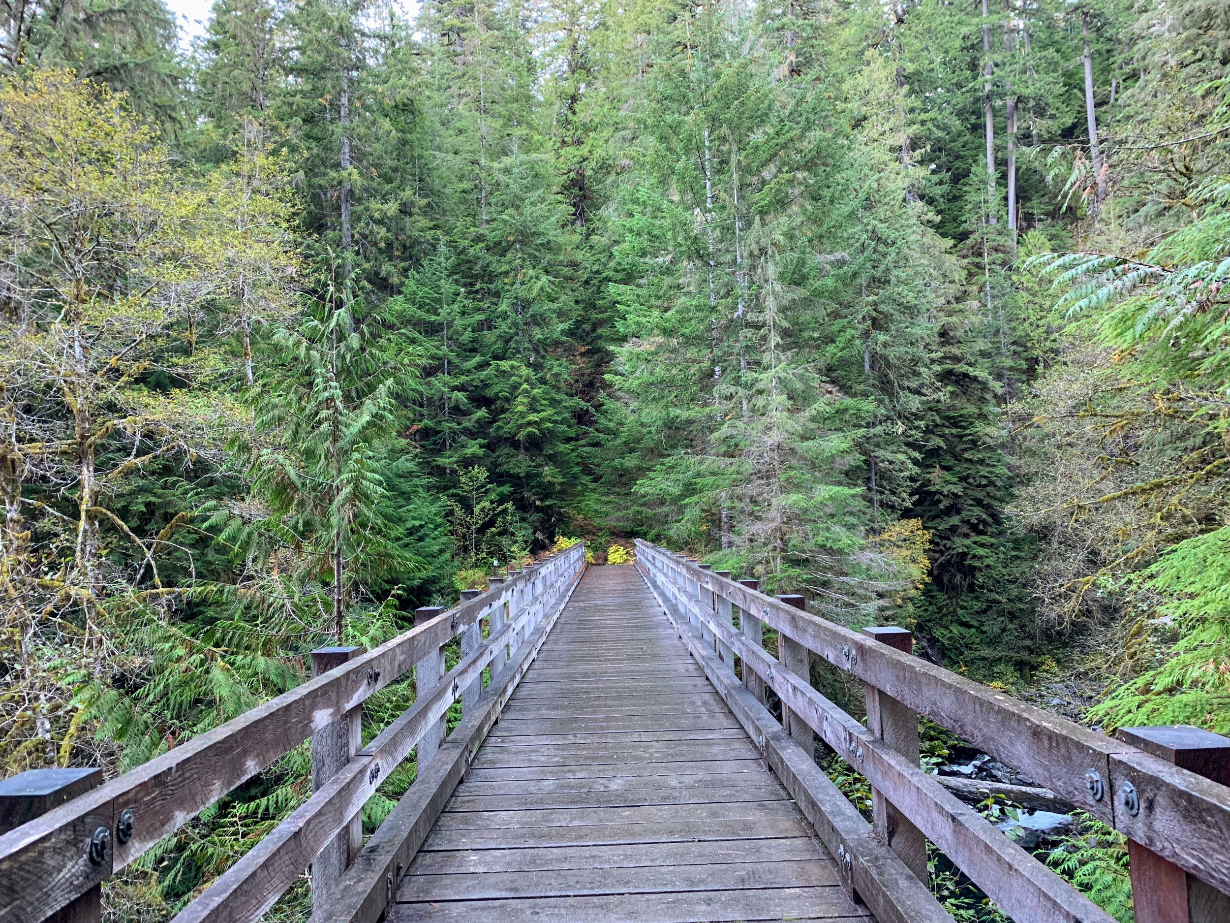
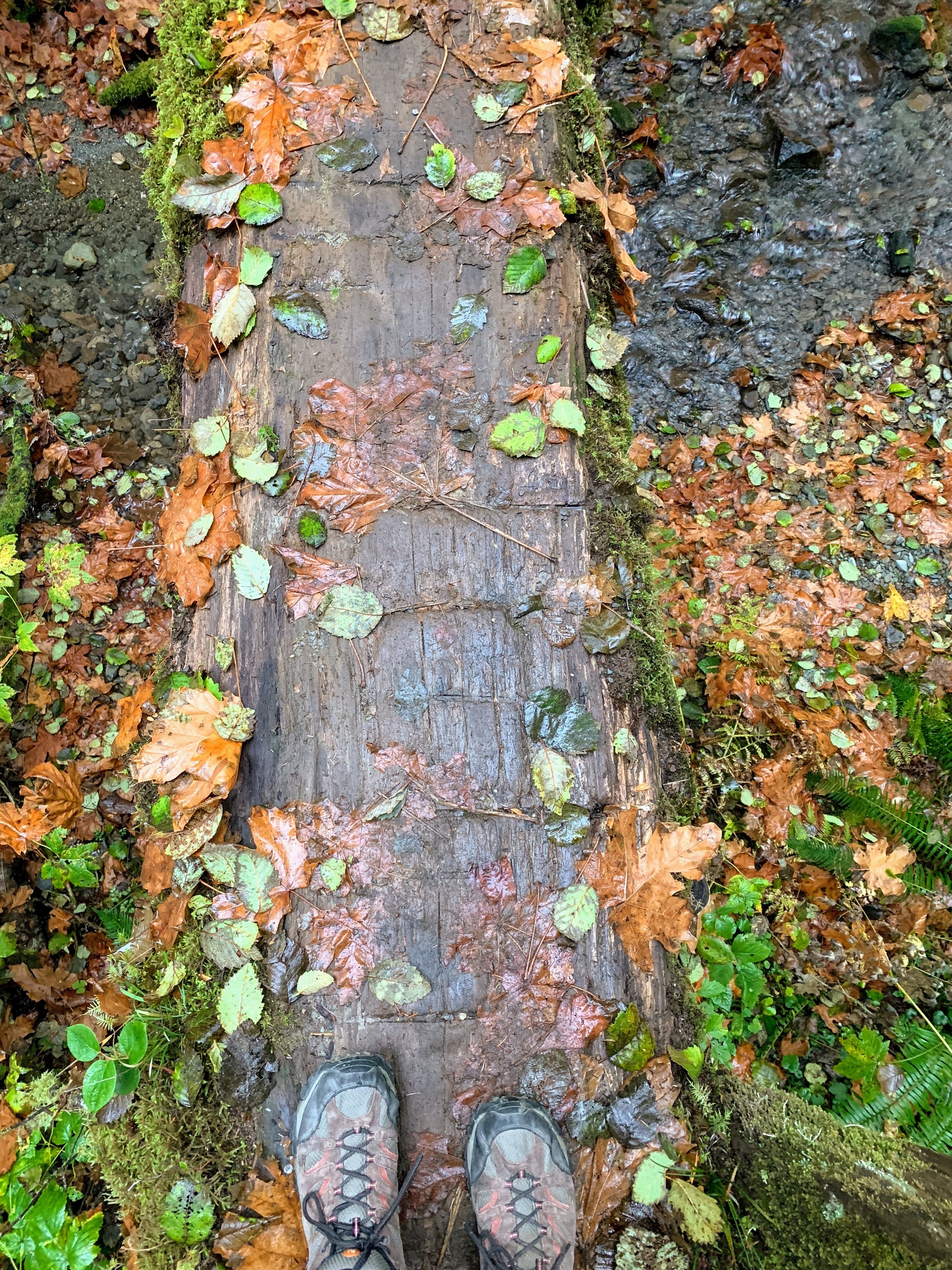
My quick pace took me up to the point of decent to the river and bridge in no time at all. I had time to slow down and enjoy the area around Pony Bridge and could take it easy walking back to the car. It started to get lighter as the morning went on and by the time I was making my way back through the forest the sun was illuminating everything. Sunshine poured in every crack of the canopy, making it feel like a completely different trail than earlier.
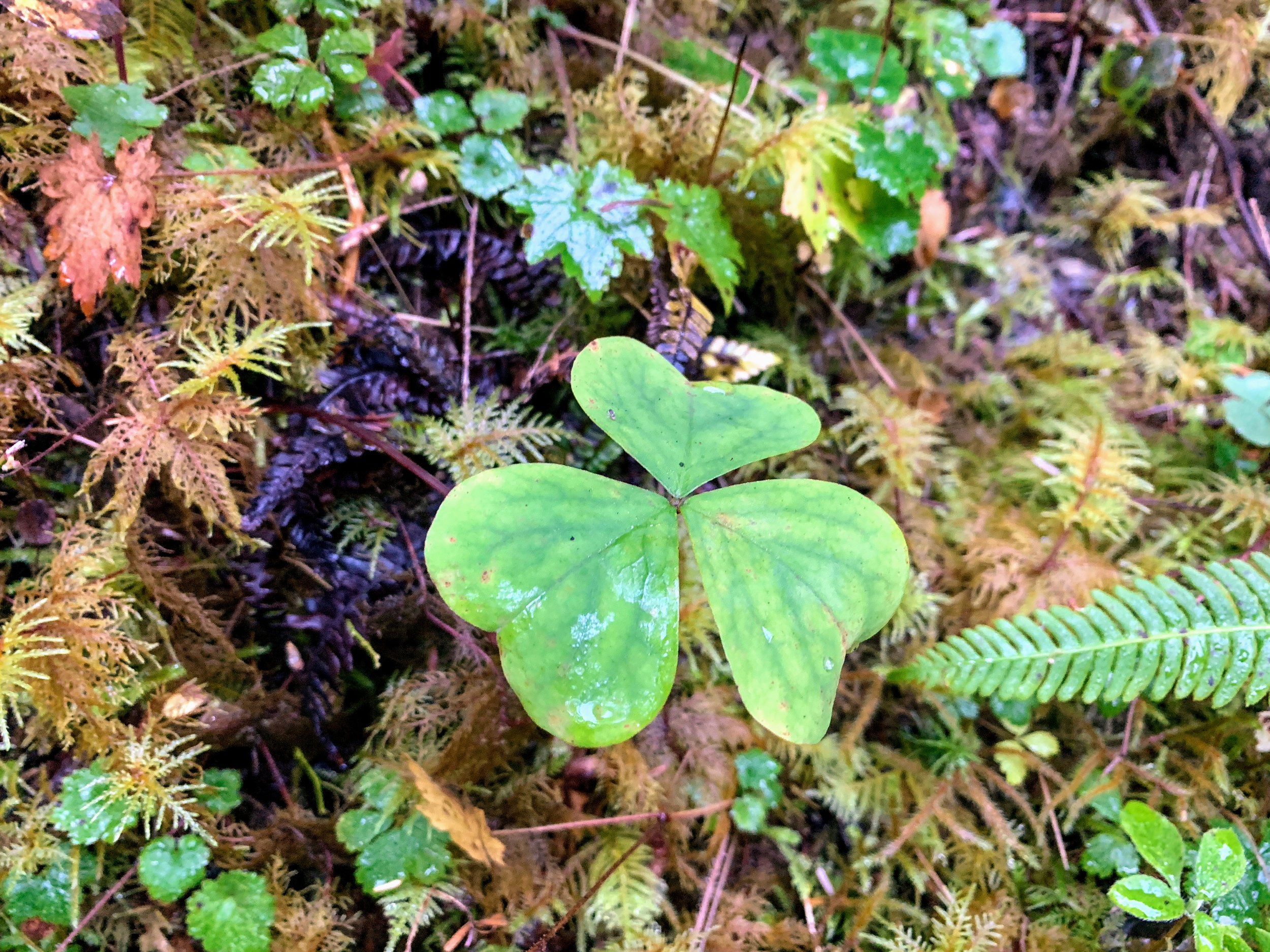
I noticed mushrooms and plants as well as heard the birds chirping. It was a completely different hike out than in. I love that the same trail can be so different the second you turn around and see it a different way.
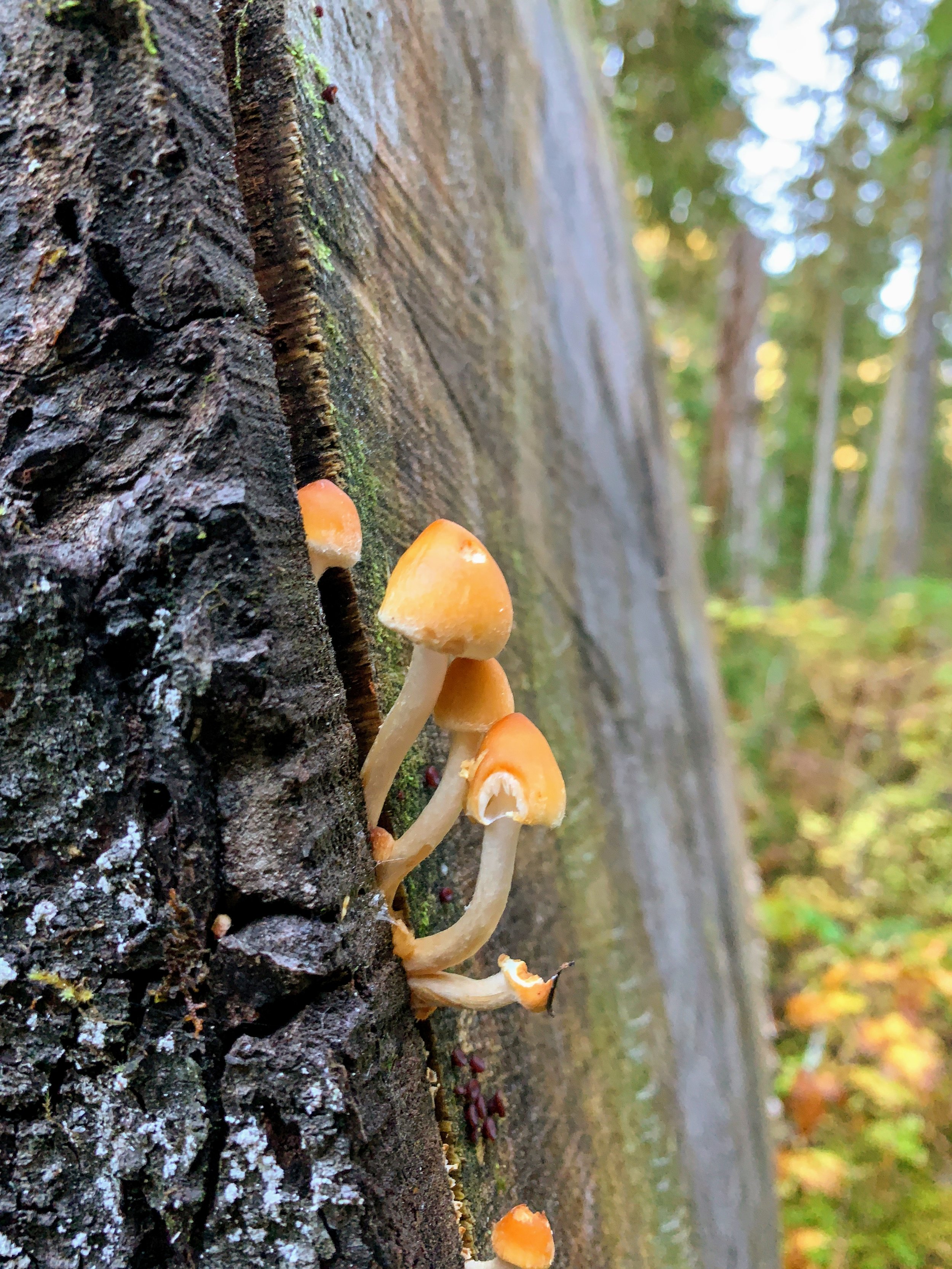
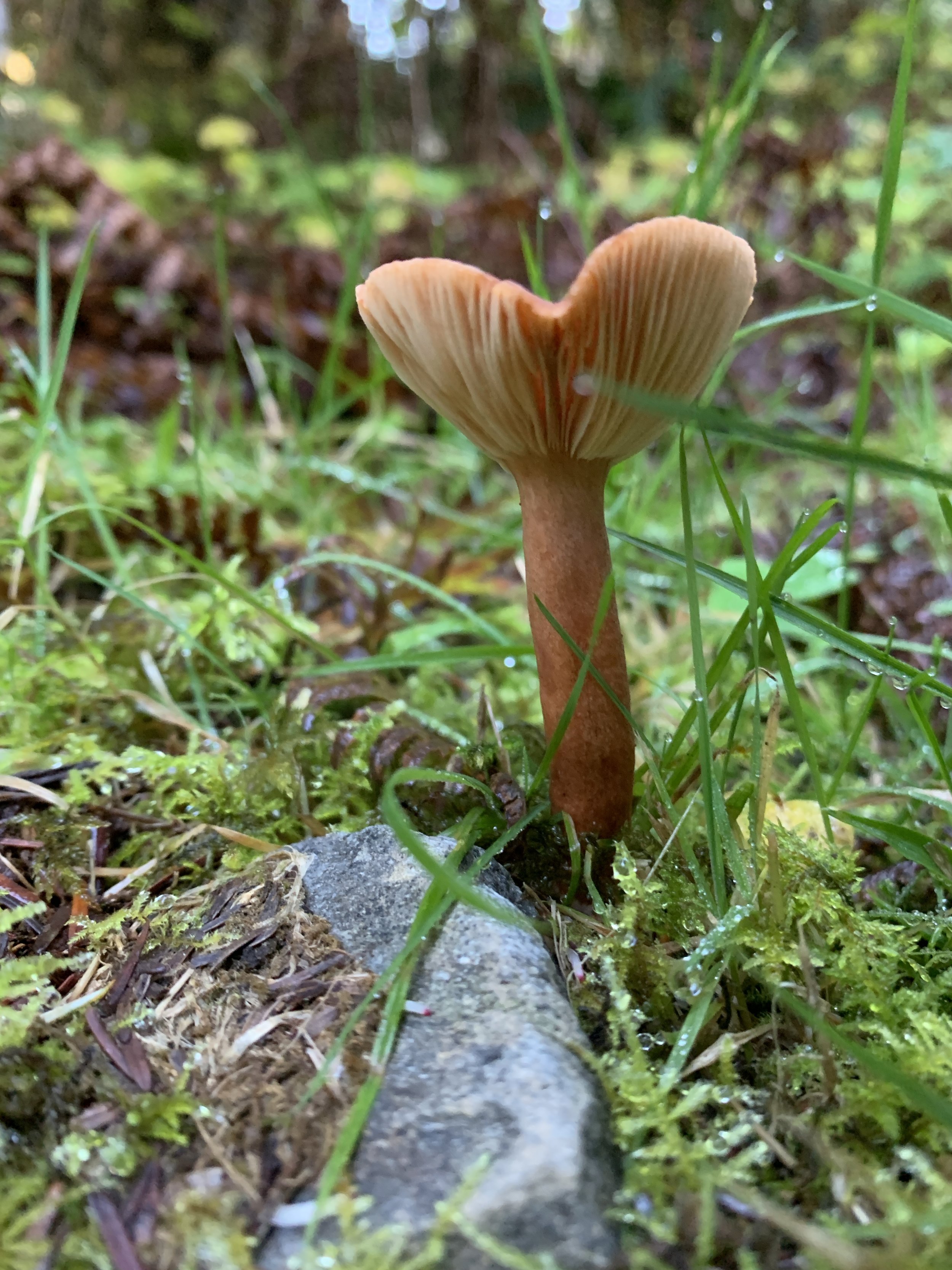
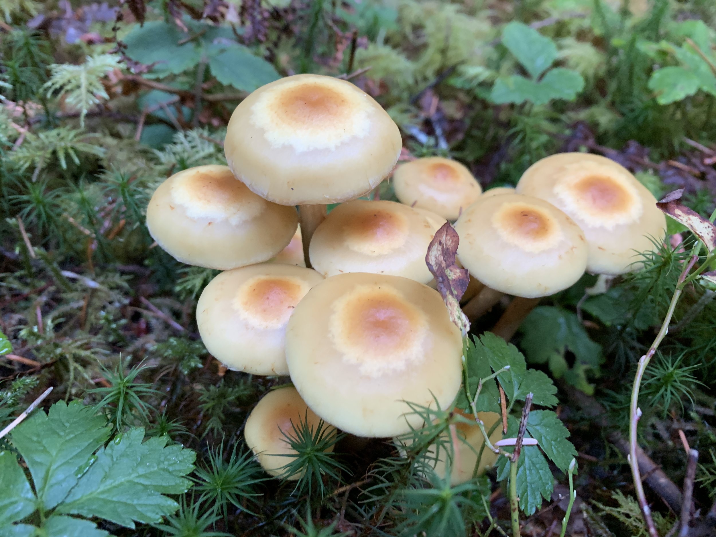
Olympic National Park & National Forest areas are some of my favorite places that I’ve seen in life. Hike 29 along a river, between the mountains, and under the trees was everything I could have wanted out of a hike.

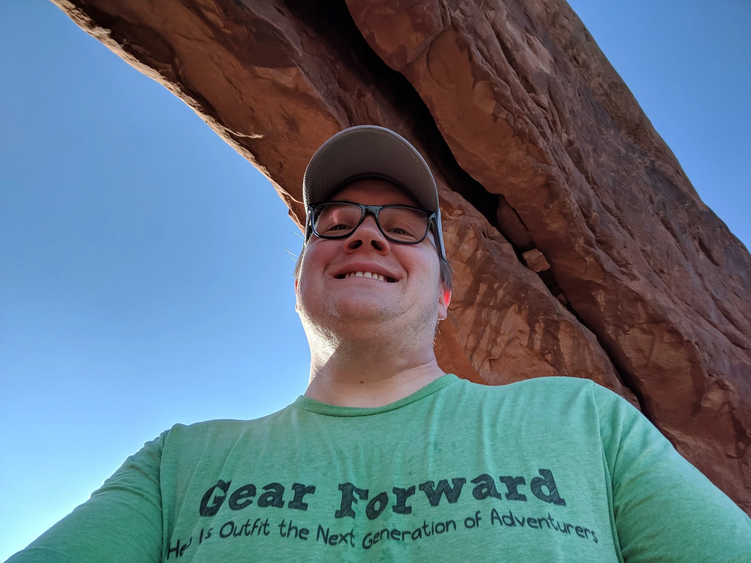
#hike27 & #hike28 - Arches National Park

Date: August 18-19, 2018
Location: Arches National Park - Moab, UT
Distance: 5 miles / 3 miles
Trails: Various trails to various arches / Delicate Arch
A revitalization on a grand scale... These days really perked me up and revitalized my desire to hike and explore.
My BFF Molly and I met in Salt Lake City and drove to Moab for the weekend. We spent Saturday and Sunday exploring Arches National Park, it was her first time, and we covered some major ground.
Arches we explored:
- Double Arch
- North Window
- South Window
- Turret Arch
- Sand Dune Arch
- Delicate Arch
- Landscape Arch
- Broken Arch
- Tapestry Arch
Sand Dune Arch is in a cavern on the right side of this rock formation.


We stopped at all major viewpoints and saw all the major sights! I don't need to get into detail about the trails, because I'll include some photos! But here is a map of the park to get an idea of where we went: Arches Guide
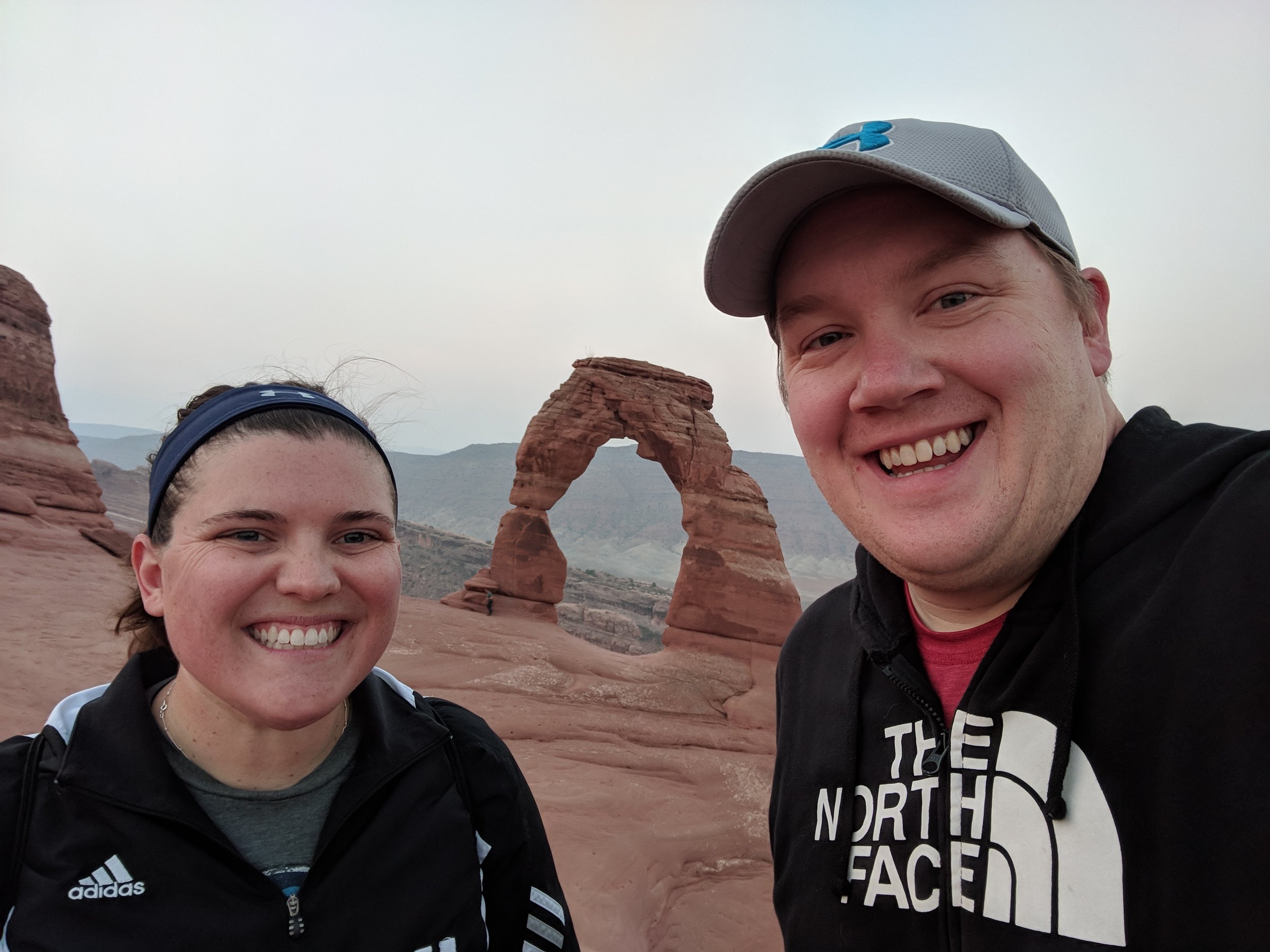
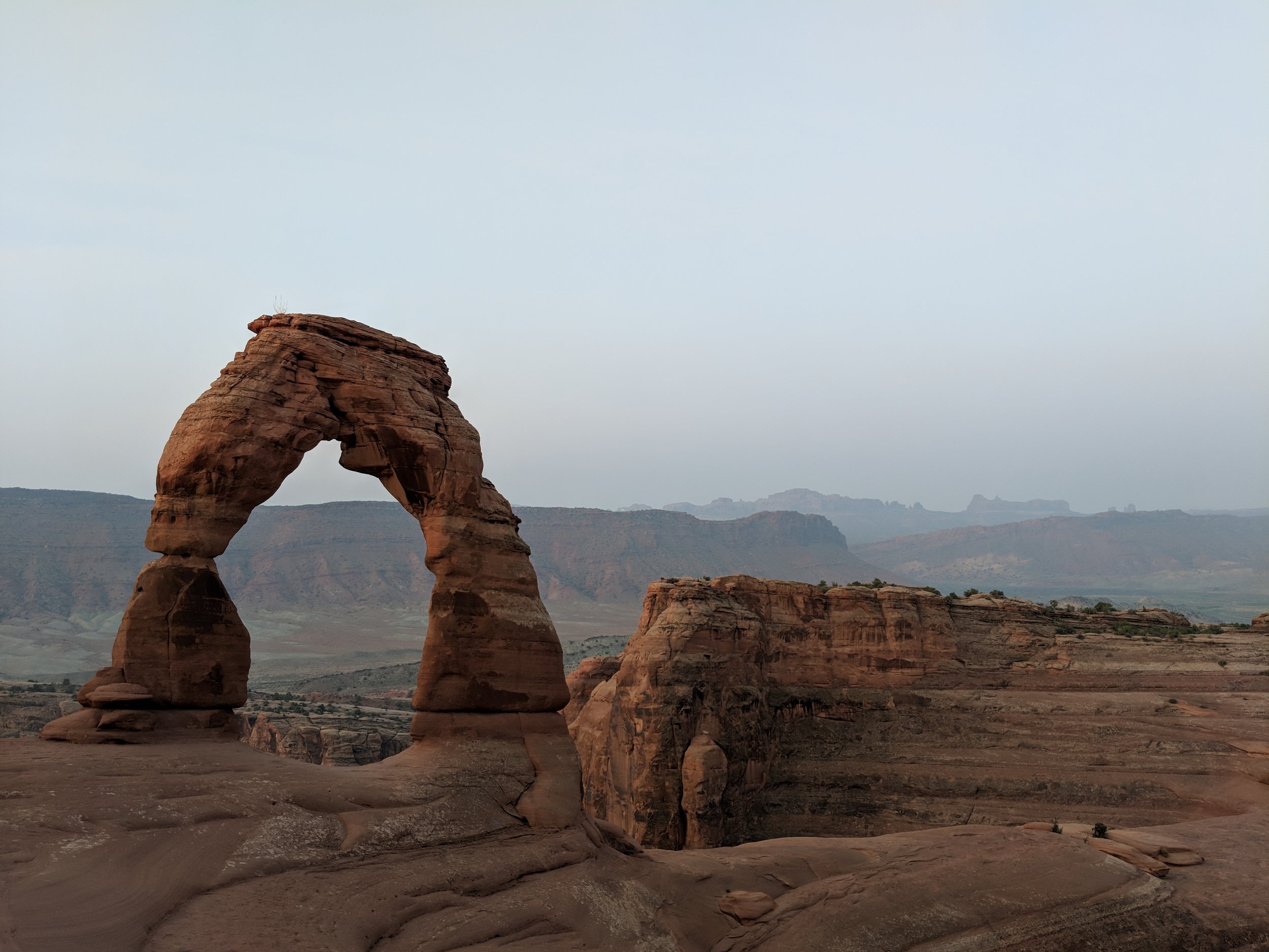
The real icing on the cake was our morning hike to Delicate Arch. Originally, we woke up at 4am on Saturday and got all ready to go, but it was raining so hard so we decided to get breakfast instead and try again Sunday. After an awesome breakfast at the Moab Diner, we had a great day of hiking and driving around the park and even drove to the Needles District of Canyonlands National Park. Sunday morning, we were back up at 4am and at the trailhead shortly after. We were one of the first people there and also one of the first people up to Delicate Arch. The hike up was intense and one of the coolest things I've ever done. We had our headlamps and I had a map, but they had installed trail signs which made it really easy to stay on track. It was basically uphill the entire way and crossing the rock surfaces was easier than I had thought. We made it to the top just as the light of day was showing and we were the second group up, despite following close behind another group that must have taken an alternative route.
Once at the top, we opted to stay away from the arch itself for a little while and plenty of other people swarmed it as they came up. We went down after the sun was up to get some photos with it and it was as wonderful as I remember it from 2010. Oh yeah, this was my second time hiking to Delicate Arch but I have very little recollection of the first time except from photos.
The trek back down was beyond amazing. Hiking up in the dark is surreal, because you don't know what surrounds you, but seeing it as you go back and piecing it all together is such a crazy mind bending experience. The views on the way down were expansive and gorgeous and the overall hike was pretty easy. We got back to a parking lot and even ran into people from Kalamazoo, Michigan where my BFF Molly is from. We gave them some pointers about the hike and shared a friendly chat before saying goodbye to Arches for this trip. If you are capable, and I think anyone that gets out and hikes is, do the hike to Delicate Arch.
My tips for the Delicate Arch hike
The ledge on the last bit of trail up to Delicate Arch
- go early, and I mean before sunrise (take a headlamp)
- take snacks, duh
- maybe take coffee in a thermos, I regret not doing this
- take your turn for a photo w/ the arch, but don't hog the arch and respect each other up there
- take a friend, if you're into that
- walk around the bowl and get different angles, once up there you'll know what I mean
- be careful, much of the trail is on the rocks but part of it is a ledge
- take plenty of water, a hat, sunscreen, etc. (especially if not going early)
- take some time to enjoy the views from all angles and on the way down
- follow the signs!

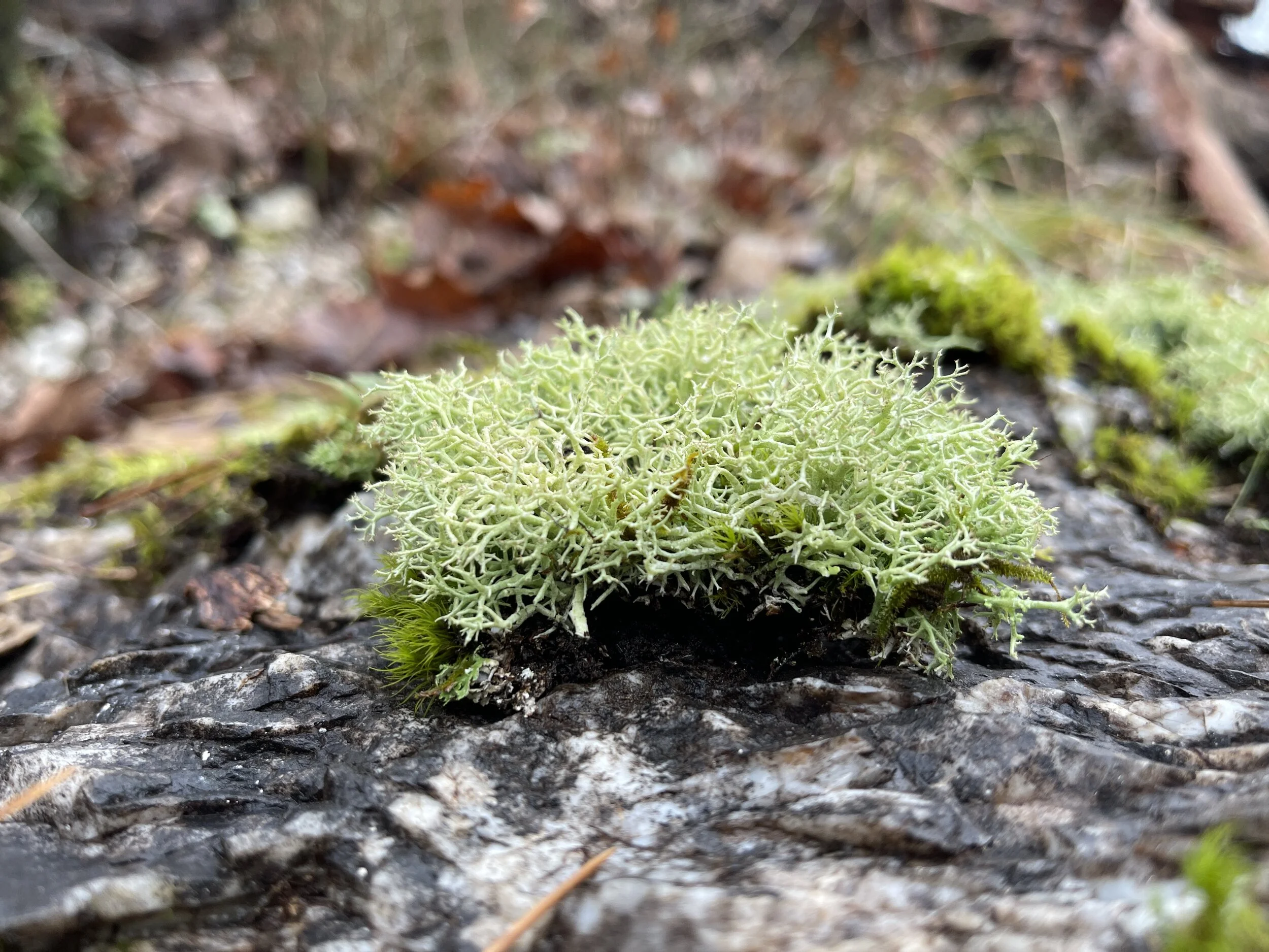
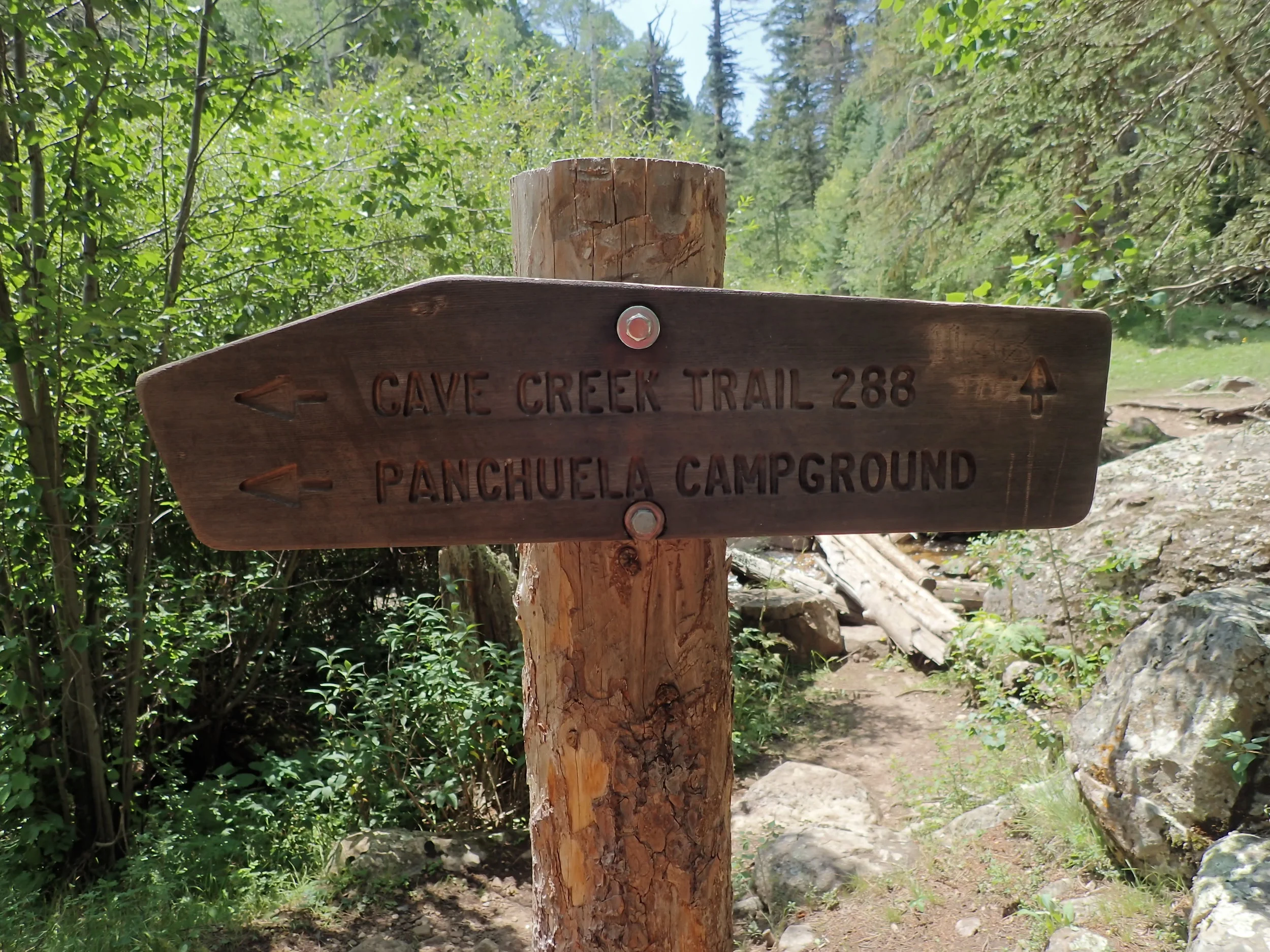
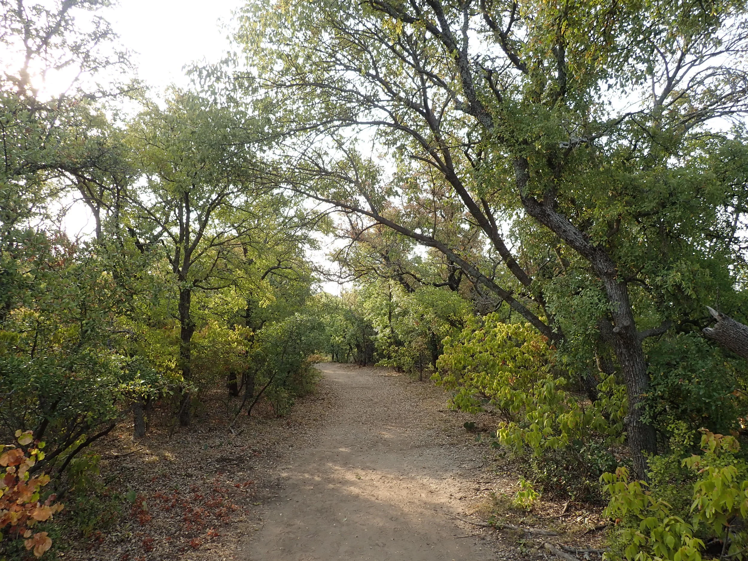
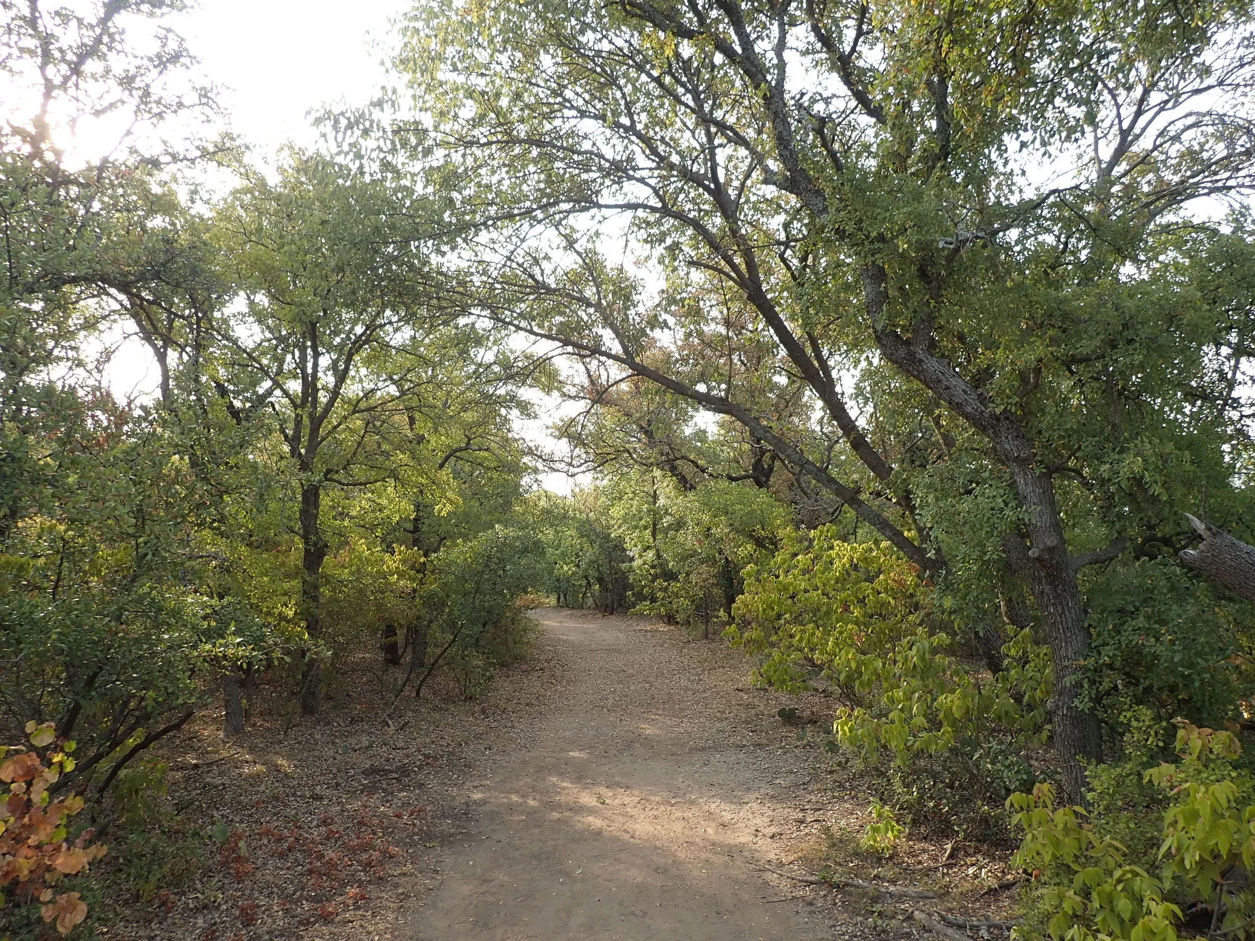
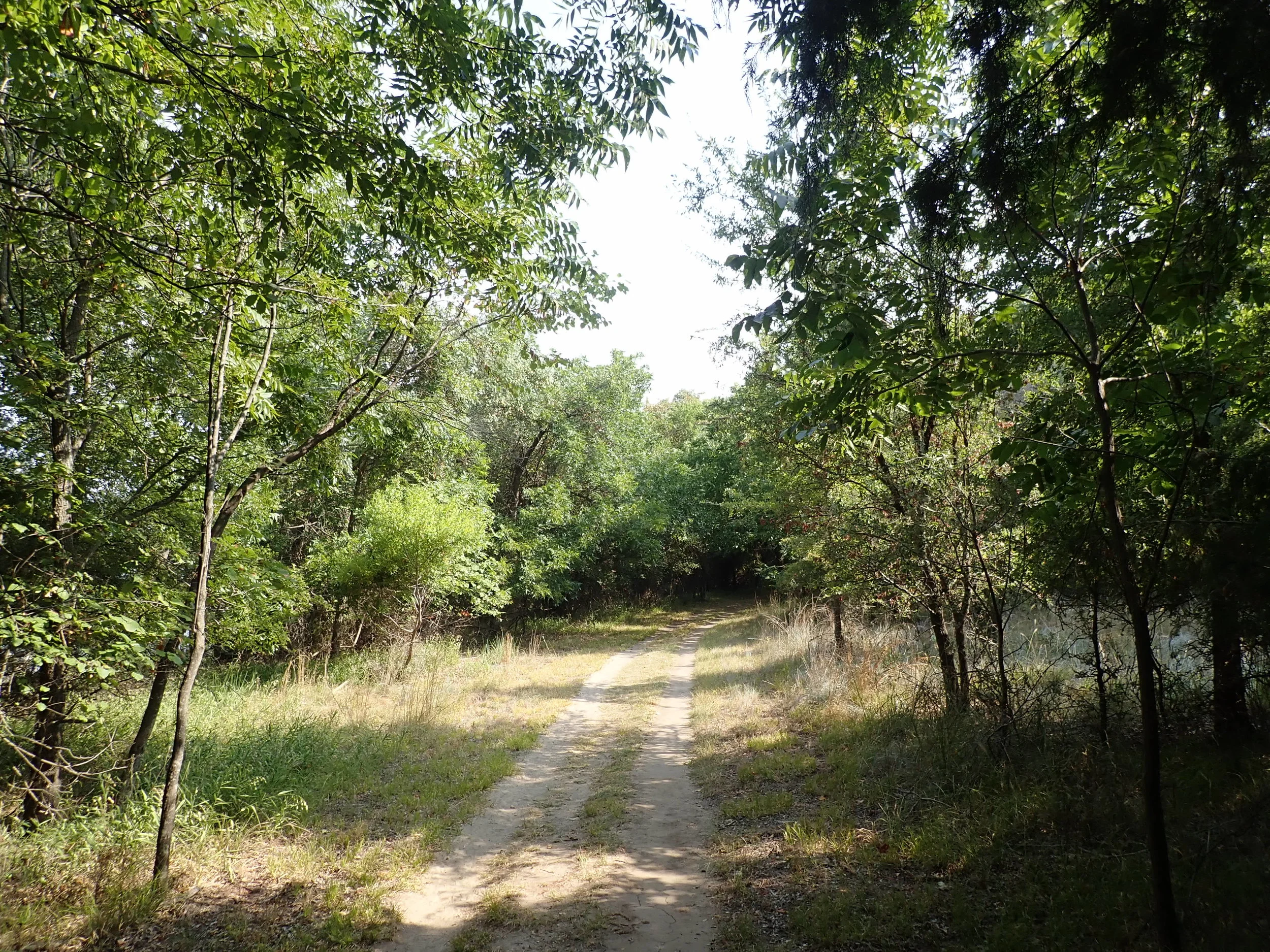
#hike26 - Santa Fe National Forest

Date: August 4, 2018
Location: Santa Fe National Forest - Cowles, NM
Distance: 5 miles
Trails: USFS Trail #288 - Cave Creek Trail


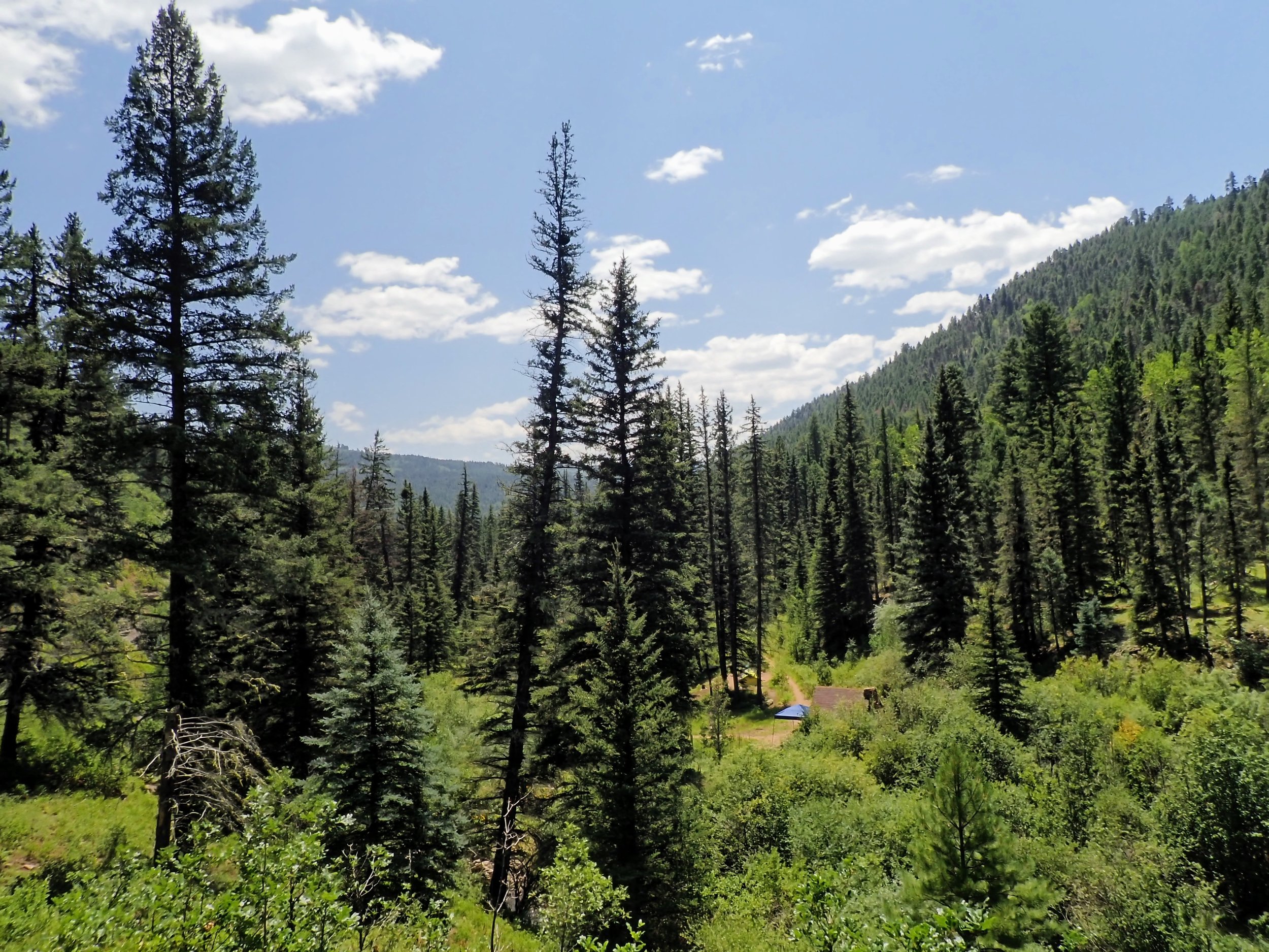
We took off Friday night to New Mexico to go hiking and camping for the weekend. We arrived to the National Forest about 7am local time, found that our original campground was closed and moved on looking for somewhere new to go. We found an out-of-the-way campsite at Panchuela Campground, set up, and took a nap. About noon we set off on USFS Trail #288 (Cave Creek Trail) without a destination or any expectations.
The mountain views were amazing, the smell of pine so fresh, and the temperature quite tolerable. In passing, some people told us about caves and I pulled up All Trails (which had downloaded the trails near me when I had service) and found that at about 2.5 miles there were some caves to explore. The pictures don't do the caves justice, but here they are.

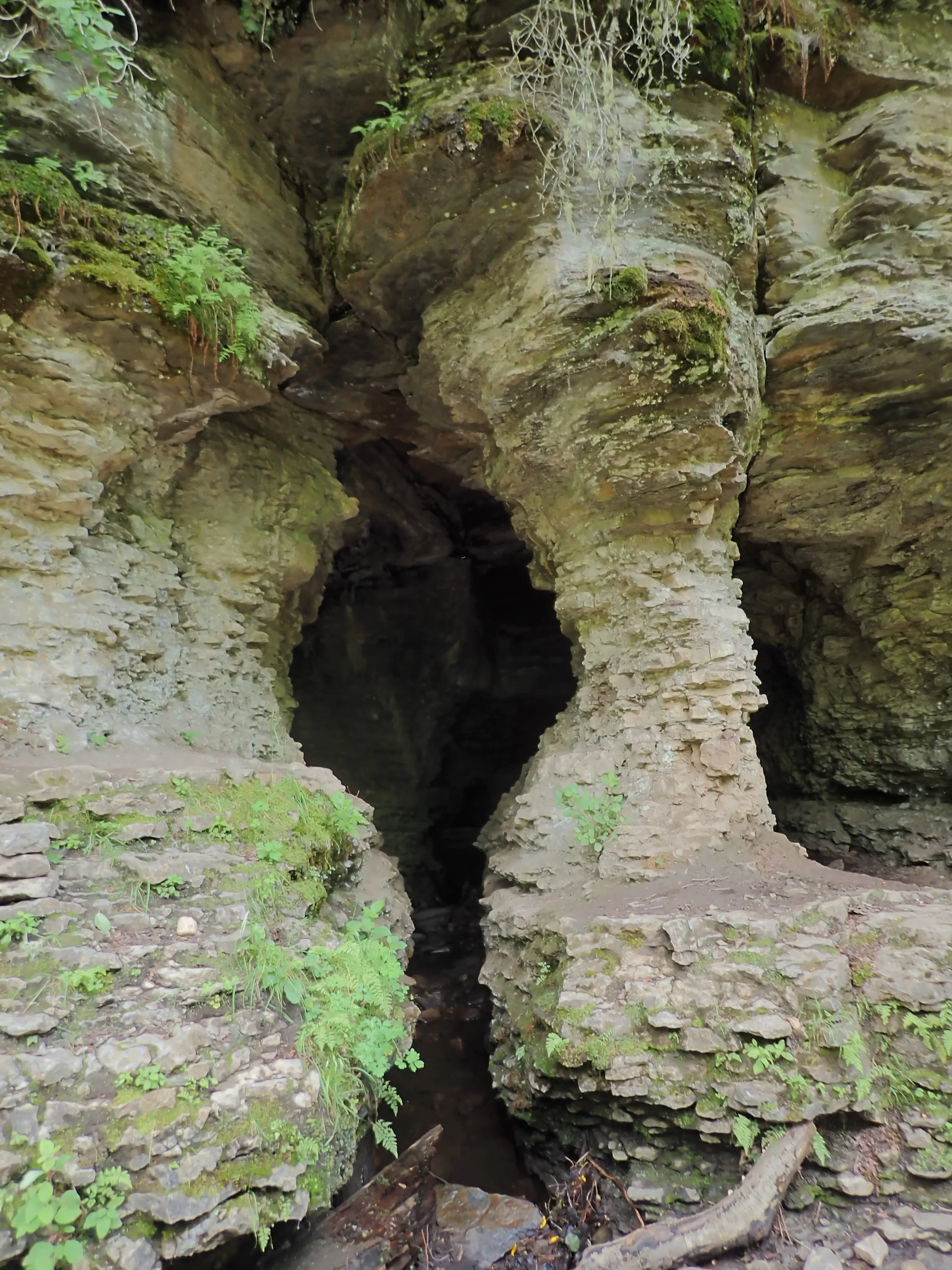
After feeling accomplished, and basking in the cool cave air and shade, we started the trek back, which didn't seem quite as laborious as the trek in. My favorite thing about trails is seeing them from the other side. Everything looked familiar, but different.
This is the second year we've ran away to New Mexico for a quick trip, and I think we'll do it again next year. A longer trip would be nice, but we'll see.
Takeaway:
- I will always drive 10 hours to hike somewhere without NOISE. I am thankful for trails in DFW metro, but hot damn this quiet/nature was a treat.
- Give yourself plenty of time if you're not used to hiking at high altitude...there's no rush.
- Wear a hat, bring water, apply sunblock, and apply bug repellent. (This stuff is great)

#hike25 - Eagle Mountain Lake

Date: July 29, 2018
Location: Eagle Mountain Park - Fort Worth, TX
Distance: 7.58 miles
Trails: All major trails MAP
I had a late start for Hike 25, but that’s okay because I went anyway. I took our dog out at 7:15 AM and it was a cool 82, but by the time I made it to the trailhead at 8:00 it was nearing 90. Eagle Mountain Park is one of my local go-to hiking spots, so I knew exactly what to expect. I normally just start out on the main trails, but today I felt like changing it up and going to the north, short trails first, in case it got too hot I’d have an out. I did the trails, no big deal, but I was feeling heavy and tired. I pushed through, to the south, main, trails and the temperatures continued to climb. My fatigued feeling was really showing, as I slowed down and started to develop a bad attitude.
Today’s saving graces were a good lake breeze and plenty of shady spots along the trail. At mile five I stopped to find my towel because there was so much sweat in my eyes and I also found a snack and thought it may help my fatigue – I’m not sure if it did or not, but it was tasty. Skout bars have always been a favorite but the Oregon Blueberry Almond bar hit the spot. Two guys came running by, and offered words of encouragement and with that, I carried on. I felt refreshed from the break and reminded myself that it is not a race and it I’m not in any hurry. I sipped my water and headed towards one of my favorite parts of the trail – the lakeshore.
As I followed the lakeshore, through shaded tunnels of trees, I started to feel more alive again. It could’ve been the shade, the breeze, the flat trail or all of it but I wasn’t complaining. I meandered around, and made my way back to the exposed, main trail that took me back up to the parking lot. I was not thrilled about all of the sunshine, but I pushed through and made it to my Outback. I blasted the AC, drank some icy cold water from my RTIC tumbler, and took off to home. What-A-Day.
Tips for Hot Weather: (from my perspective)
- Start out hydrated and hydrate as you go.
- Take extra water!
- Don’t push yourself too hard, a hot day is NOT the day to test your limits
- Remember to rest and take a snack to help with lost nutrients
- Eat before? Eat well the day before… don’t go on a completely empty stomach.
I got home from this hot, hot hike and had a big lunch with lots of water and then proceeded to nap for 3 hours. I was drained, and still am! Hot weather hikes are my least favorite, but working to make the best of what I have within my reach. I hope you found yourself outside this weekend and made the most of it! Happy trails.
It was so dry and crispy, it felt like fall at some points along the trail.

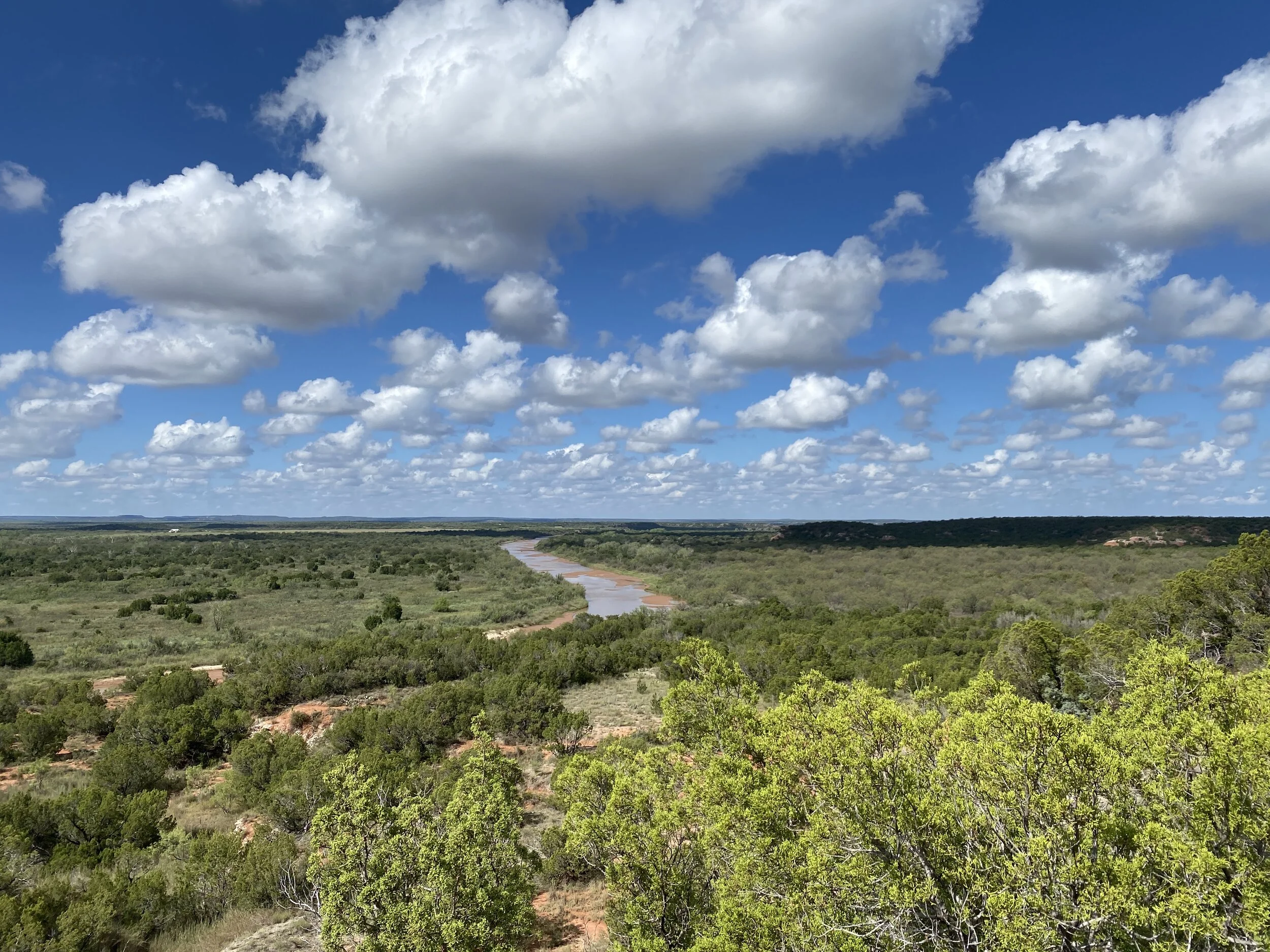
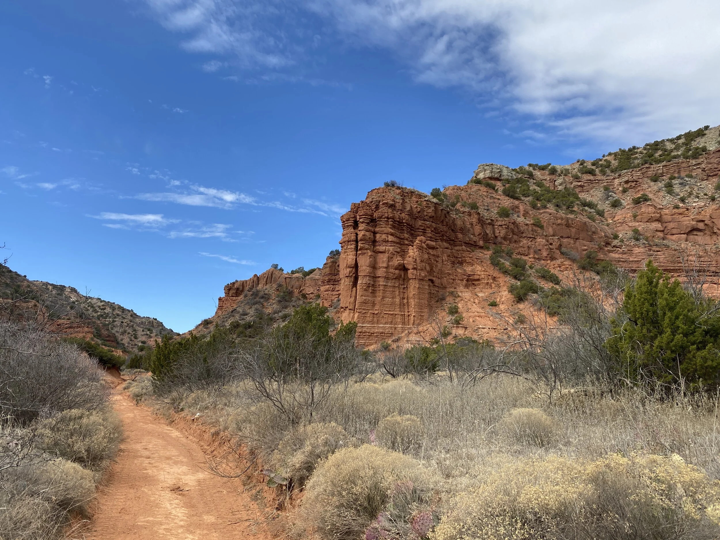
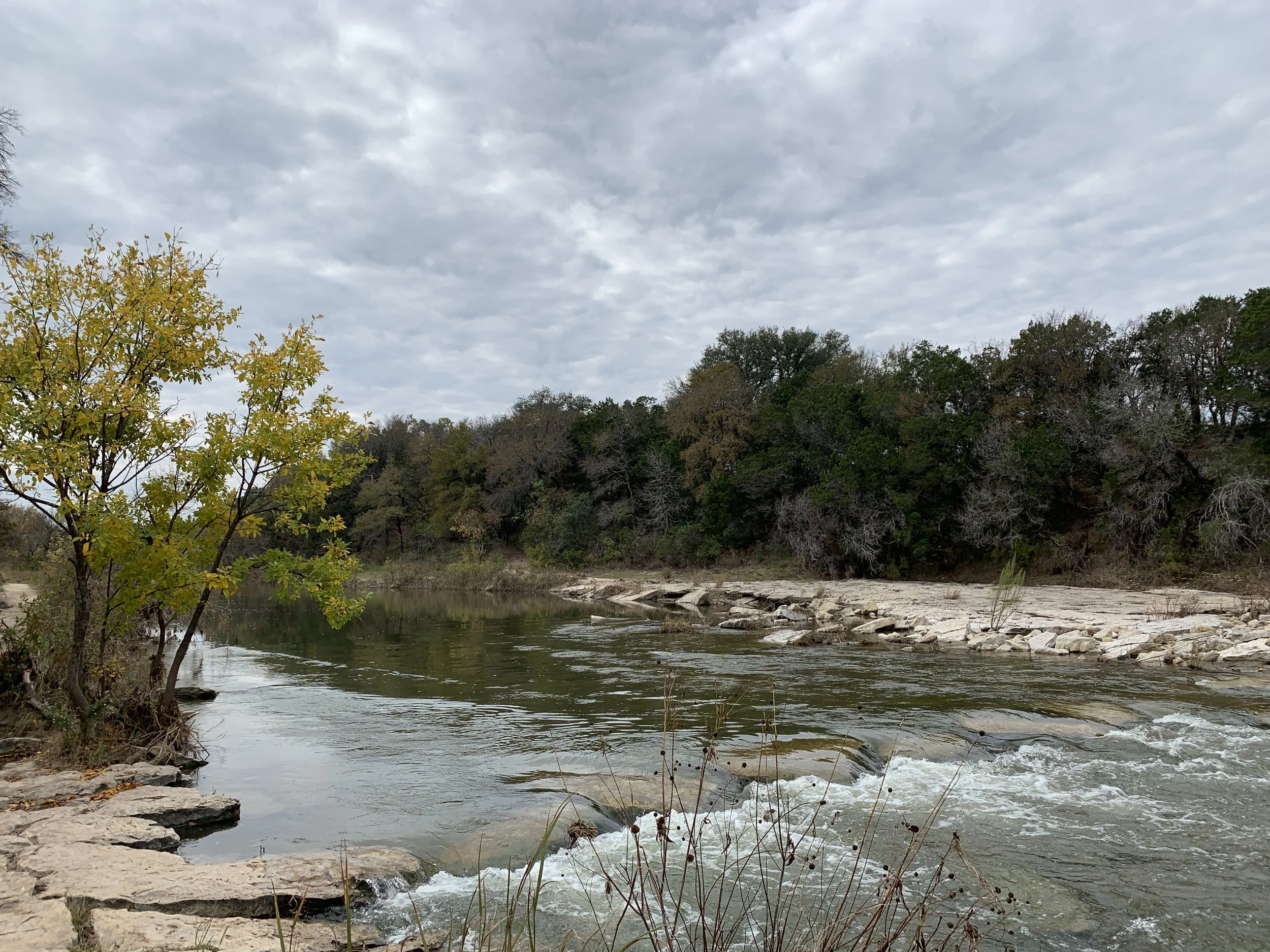
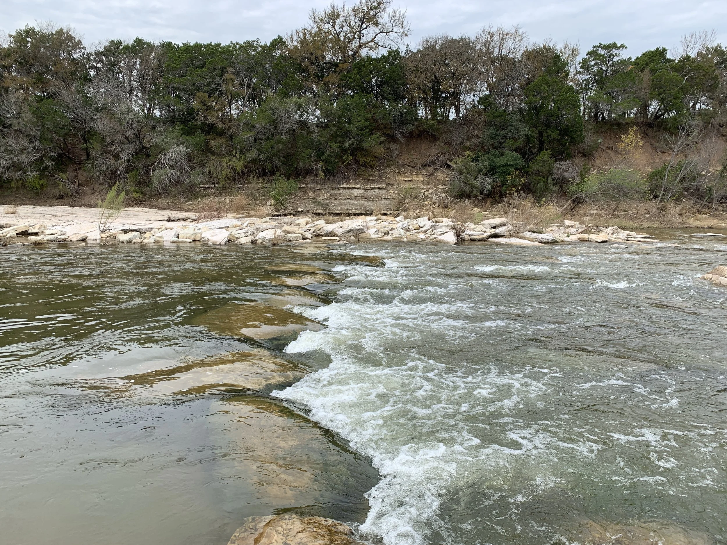
#hike24 - Dinosaur Valley State Park
Date: July 22, 2018
Location: Dinosaur Valley State Park - Glen Rose, TX
Distance: 4.3 miles
Trails: Cedar Brake Outer Loop (partial), Cedar Ridge
See the trail map HERE
Today's hike at Dinosaur Valley did not include wet feet, cool temps, or many interactions with people. The hike did include nice breezes, solitude, and plenty of sunshine. I had a late start this morning, due to staying up way too late, and I was ready to call the whole thing off. Then, I saw some inspiring words on social media, went for it. It was 7:45 am when I left the house, arriving at the park around 8:30. The temps were just below 90 at this point, but still tolerable with the breeze and shade. As I made my way through my familiar trail, it started to warm up and the flies became more aggressive. By the time I was done, the temp had climbed to nearly 100.
This week I braved the temperature, embraced the sweat, and said screw the bad vibes. I often get in my own way, mentally speaking, about going out for a hike in the summer. It is hot, it is buggy, it is dry, and it is excessively sunny. Today proved that I can survive and adapt, quite easily actually, so it is as if I cleared this road block for future hikes this summer. No more excuses! Sweat wicking shirts, hats, ice cubes in my CamelBak, sunscreen, and bug spray are all I need.
I’m looking forward to next week’s hike, wherever it may be. We are throwing around the idea of going to New Mexico, but the forecast is currently rainy. If you have a suggestion that’s within 10 hours of Dallas/Fort Worth, hit me up! Happy trails!

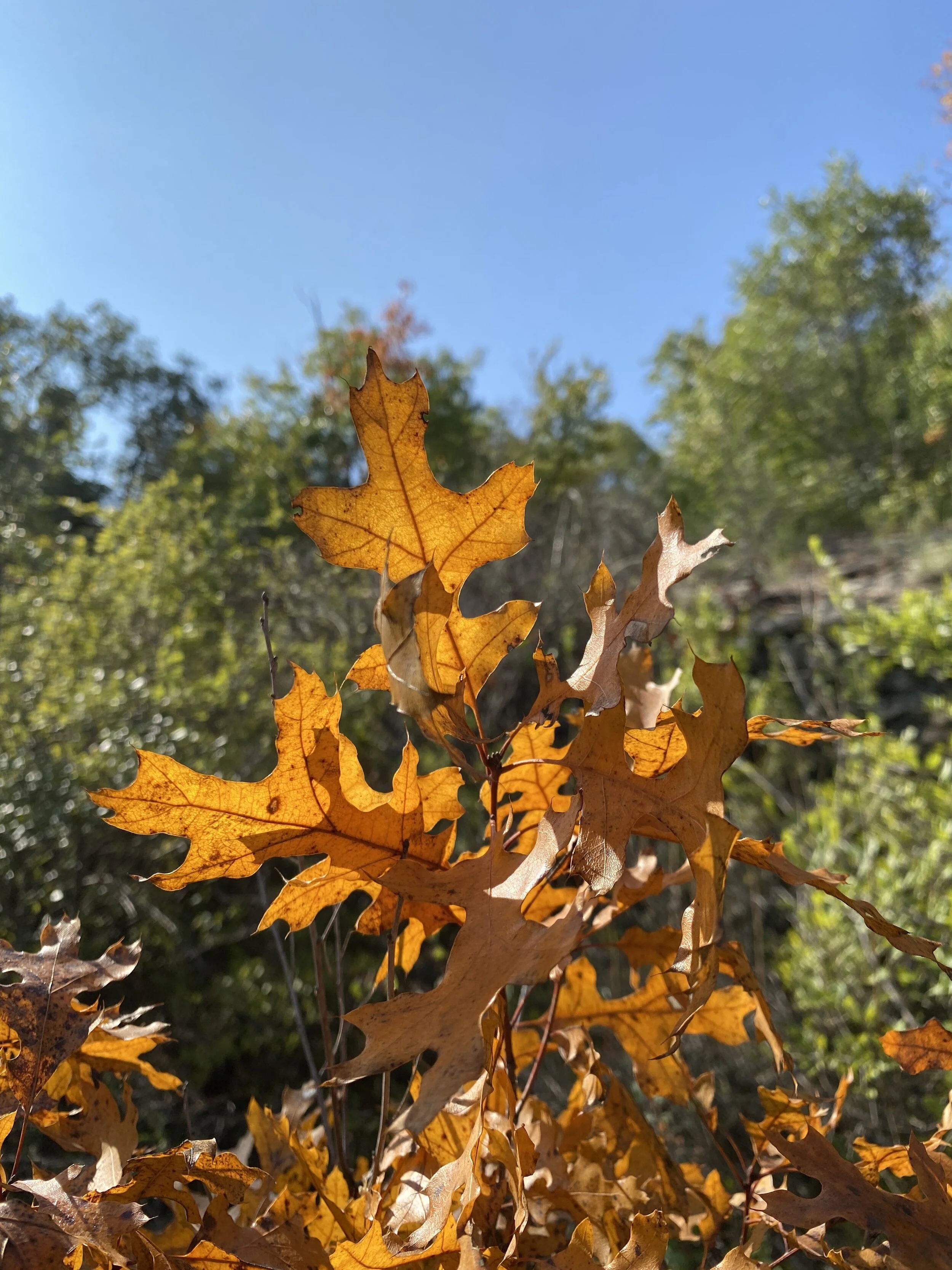
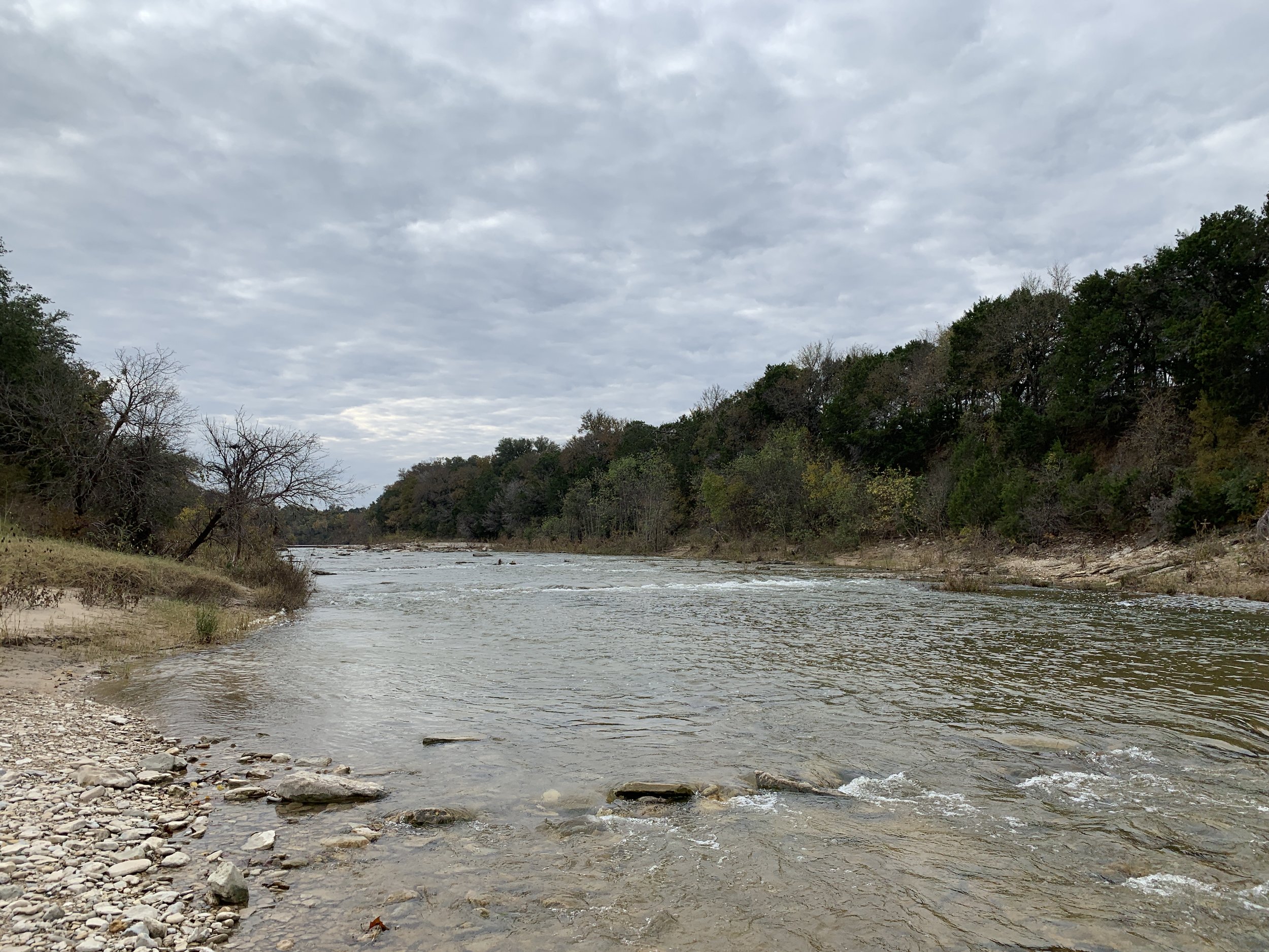
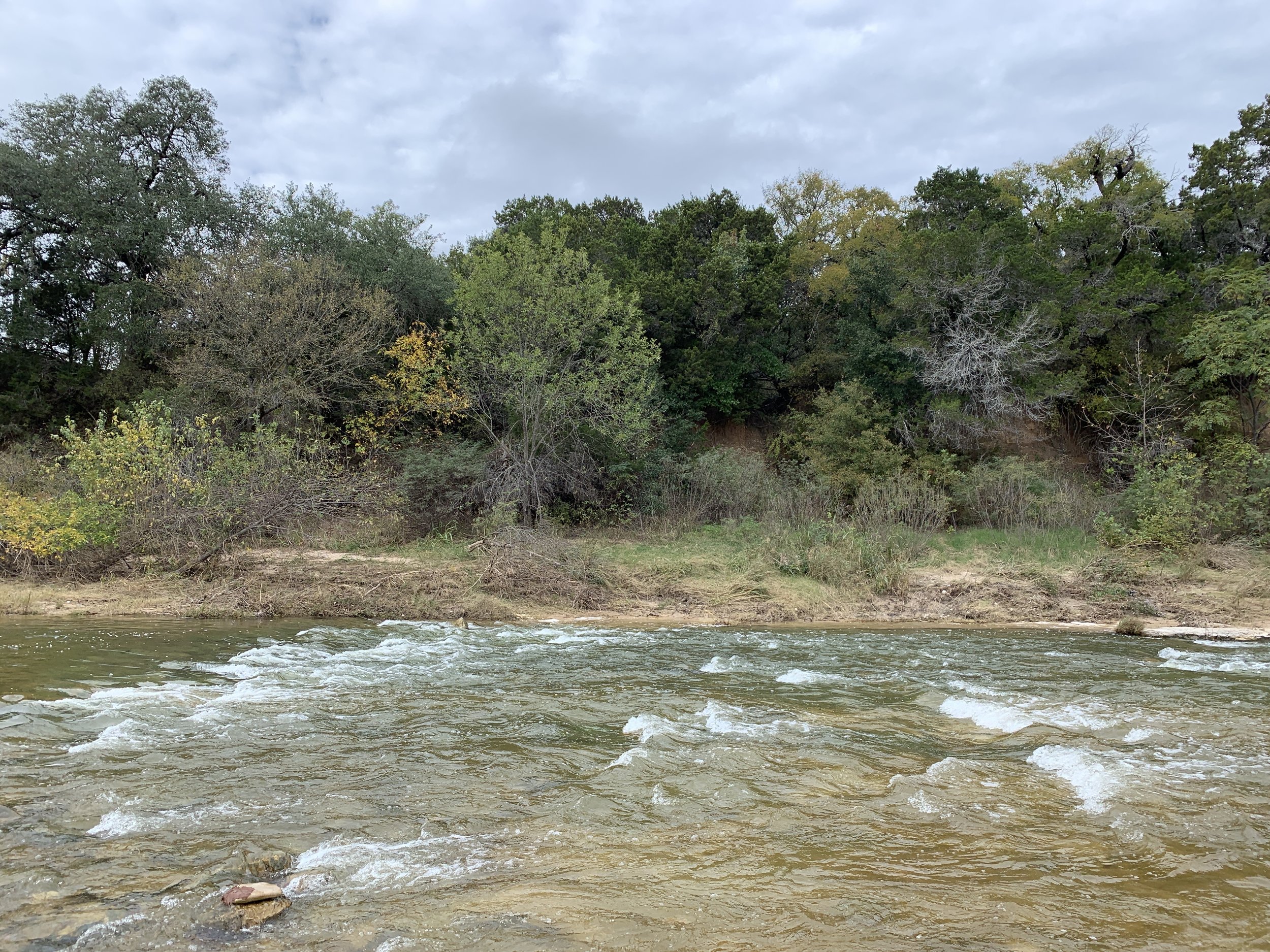
#hike23 - Dinosaur Valley State Park
Crossing the Paluxy River to start our hike.
Date: July 14, 2018
Location: Dinosaur Valley State Park - Glen Rose, TX
Distance: 5 miles
Trails: Cedar Brake Outer Loop (partial), Denio Creek Warbler Trail. Paluxy River Trail
See the trail map HERE
We started early, my aunt and I, and got to the park about 7:00 A.M. We registered, parked, and started our hike in 79 degree weather with about 79% humidity. At Dinosaur Valley State Park you have to cross the river to get to the good trails, but the Paluxy was only a trickle so we didn't have to get wet this time.
I like hikes with my aunt, or other close friends/family, because you can have those good talks that I'd classify as quality time. We talked, bitched about things, laughed, and overall had a very positive ongoing conversation about life.
The sun climbed higher in the sky, and we started to feel the heat increase while simultaneously feeling perfectly acclimated to the temperature. About halfway through the hike, we encountered some bugs and that was mildly annoying, but no other real issues. I have one horse fly bite, that I didn't even notice until today.
We finished up after five miles, before the real heat hit with a slightly lower humidity, and made our way back to the parking area. We avoided most direct sunlight by picking trails that were shaded by the ridges and scrubby trees thus avoiding excessive exposure. We saw one woman on a mountain bike, but really no one else dared to be out there with us that we could see or hear. Once we arrived back to the parking lot, there were a few more cars, but nowhere near the normal packed lot I'm used to seeing.
Summer hiking, in Texas, is not my favorite and I'm at least a month behind on my quest to hike 52 times in the year with one per week....but I'm not worried. Once the fall hits, I'll have no excuse to hike twice per weekend and maybe even twice per day! I'm longing for the cooler mornings and evenings ahead. Until next time, happy trails!

#hike22 - Barton Creek Greenbelt
Date: June 30, 2018
Location: Barton Creek Greenbelt - Austin, TX
Distance: 5.75 miles
Trails: From the MoPac to Hill of Life & back
It was a humid hike, but so refreshing regardless. I started out counting dogs, people, and bikes but gave up after I reached the Hill of Life. I started at about 7:15 am, with few people and quickly ran into everyone after 8 am at my midpoint. It was a popular trail, but everyone was very friendly and smiley and I just enjoyed it. I got a good feeling on this trail - something I've been longing for - and I am doing my best to be that outgoing-smiley person wherever I go. I know, not every day/every hike/every run/etc is easy or fun, but interacting with people in a positive way can be as simple as smiling, waving, nodding, or saying hello.
The trail was downhill at first, eventually followed along at creek level - which was bone dry, then transitioned into the Hill of Life - which was a LONG, steep hill that should have been called the Hill of Death. Many people were using the hill for training - either walking, running, or biking - I was simply trying not to pass out. My legs went jelly about 3/4 of the way up, so I went back down. On my hike back to my car, I followed a family that was out for a hike together. Seeing an entire family doing something together was encouraging and something I hope to see more frequently.
I was thankful for shade, a partly cloudy sky, and the humidity melting away as the morning moved forward. If you're in Austin, check out the various parts of the greenbelt and happy trails.
Recap: Plenty of cute and REALLY cute dogs, nice people, and plenty of shade.

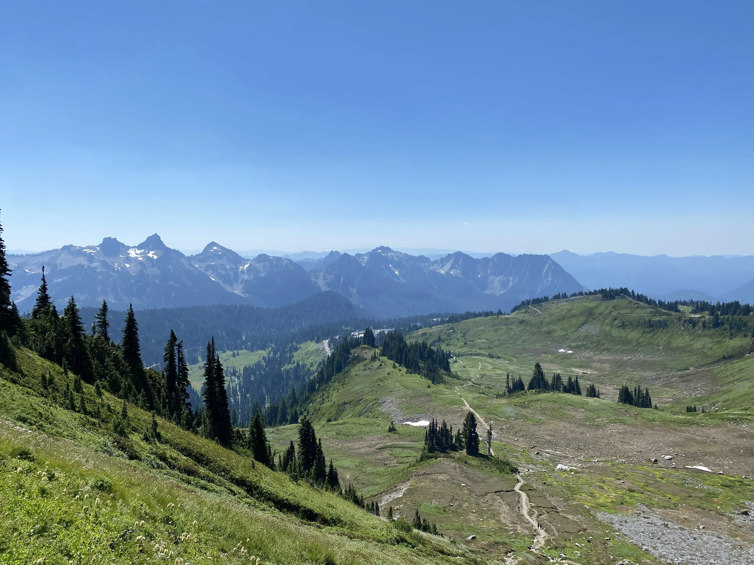
#hike21 - Eagle Mountain Park
Date: June 23, 2018
Location: Eagle Mountain Park - Fort Worth, TX
Distance: 8.1 miles
Trails: River Trail
It's been a while since I've done a good, long hike. I did 8 miles, a few trails twice, and enjoyed every minute of it. It was under 80, low humidity, and very breezy. The sun was hiding, so I didn't feel too hot, and I didn't need sunglasses at first. My legs were jelly during the first mile, but after that I was good to go. This hike was a good start to my summer hikes, that I dread, and I'm looking forward to more early morning excursions. In the video, I said I was going to go the next day and I can report (it being the next day) that I didn't. Not out of laziness or related to anxiety, but simply due to temperature and humidity being SO HIGH and gross.
A note about feeling inferior on the trail... Just my own personal brand of crazy...
People don't have to make fun of you for you to feel inferior, mostly due to the years of believing you're not good enough. For me, it's because I endured years of bullying and being made fun of...I've always been chubby and not the most "masculine" guy. On the trail, people who look fit, who wear the tight clothes or no clothes, can just trigger some insecurities within my brain despite them not doing or saying anything to me at all. They could be the nicest person ever, but because of my insecurity and judgment from people who looked like them in the past, they're just the enemy. My insecure brain automatically assumes they're judging my body or not smiling because they're disgusted. I know, it's not right, or maybe it is, but it's where my brain goes and I'm working very had to not give a crap what people think and to feel better about myself. Trying to switch from the mindset that everyone is judging me to not giving a crap either way is the real challenge. Not worrying if your looks or actions fit in with everyone else is the key and also my biggest personal challenge.
Trying to balance exercise and diet should be easier, but it's not, and it's a struggle. My biggest enemy, other than myself, is the weather. I was lucky for this hike, with a nice breeze and below expected temps and humidity... but, most mornings are not so lucky. I'm going to continue to fight my insecurities, learn to care less, but also learn to care more about myself, and move forward. I hope you can find your strength if you're feeling insecure or offer support to those who need it out in the world.
Happy trails and if you want to join me, feel free to get in touch!
Can you spot the deer? ALWAYS watching...

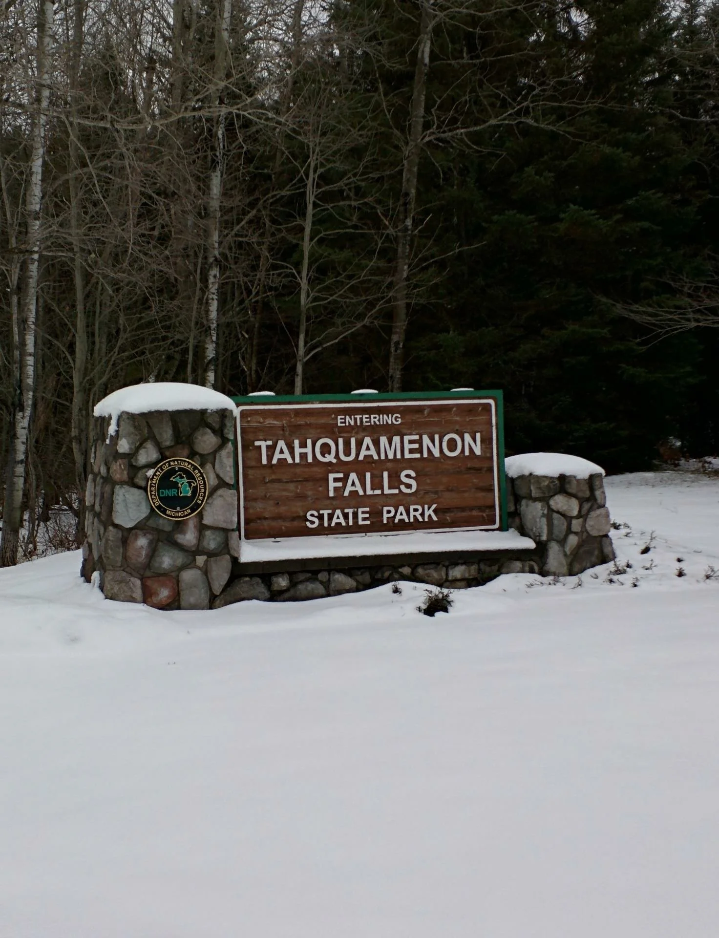
#hike20 - Tahquamenon Falls State Park
View from the paved path to the viewing deck
Date: June 14, 2018
Location: Tahquamenon Falls State Park - Paradise, MI
Distance: 4.3 miles
Trails: River Trail
Tahquamenon (like phenomenon) Falls is located in the Eastern portion of Michigan's Upper Peninsula and one of the most beautiful places in the state. It is known to attract plenty of tourists, but we went early enough to avoid them! My other half, my mom's other half, and I took off around 6 am and made the 2.5 hour drive up to the state park. The mosquitoes were immediately thick and it was not looking good from an enjoyment perspective, but we had bug spray and hoped for the best.
We set out on the paved portion and made our way to the viewing area at the Upper Falls. There are 96 steps down to the viewing platform, all worth it. Between the car and the falls, a bird pooped on me, or I put my hand in bird poop on a railing, or some other situation in which my hand/arm came in contact with bird poop, so that was a good time and made everyone laugh and distracted from the mosquitoes everywhere for a second.
View of the Upper Falls and river from the viewing platform.
Back up the 96 steps we went and headed towards the dirt path that led to the Lower Falls. It started up on a ridge, with the river below and the trees thick. We met one family along the way, and they didn't really seem to be bothered by the mosquitoes. The bugs didn't start out too bad on the upper part of the trail, but the second we descended to the river level, we were eaten alive. In my 33 years on this Earth, I have never experienced mosquitoes THIS bad. We probably made it a third of the way to the Lower Falls and decided to turn around because it just wasn't enjoyable. I was a little disappointed, but ultimately wasn't enjoying the hike enough to continue. My goal of 10 miles was missed and I settled on 4, but distance isn't always everything. In just 4 miles, in and out, I saw plenty of nature's splendor to be satisfied. We had some laughs and I'd definitely return during the fall or winter to do the path.
This hike revitalized my desire to be outside, invigorated my senses, and reminded me that it's not about the distance but overall enjoyment. I've scheduled a bunch of hikes in my calendar for upcoming weekends to keep me motivated. If anyone is interested in tagging along, feel free to contact me! Happy trails.
An Iris and a view of the Tahquamenon River
52 Hikes With Mike - The Halfway Point
It's halfway through the year, anyway... I'm not where I want to be, but I'll be just fine.
I've been drastically unmotivated since April. I'm about three hikes behind, but I have plans in place to make them up over the next quarter. For some reason, I've been lazier than normal and it may have something to do with the climbing temps or lack of overall sleep in my life. I haven't wanted to go hiking at any of my local haunts and I haven't been waking up early enough on the weekends to get in the car and get a few hours away. I was struggling with this back in March and April, with little relief on the horizon - until now. I have plenty of opportunities this summer to make up any lost time or distances.
Click here to see my post from April on the first quarter of hiking.
Halfway Point Goals
- hike further
- wake up early to beat the heat
- get out of town on weekend morning days
- include more cardio between hikes as well as adjust diet/alcohol intake
Halfway Point Statistics - they haven't changed too much since April
- I'm 91 miles from my 2017 total distance
- Of 19 hikes, 12 were solo, and 4 included my dog
- I've been to 13 unique locations, 5 Texas State Parks, 5 states, and 2 NPS units
- Each hike in 2018 has been enjoyable, so that's good
- Total mileage is sitting around 122 with an average hike just over 6 miles

Upcoming Hikes
- June 13: Tahquamenon Falls, Upper Peninsula, Michigan. I'll be in town for my brother's wedding so I'm sneaking up to the UP to hike between the upper and lower falls!
- July 2018: My other half and I will adventure west with the remaining vacation days and I'm hoping to hike in a couple of National Parks
- August 2018: It's our 2nd annual BFF Adventure and I know we'll hike somewhere, location TBD at this point. (I'm voting for Utah, California, or Colorado)
- August 2018: Quick trip to Michigan because I have a flight voucher that needs to be used and I will try to hike out near our cottage or maybe sneak away to the UP
Feel free to follow along or even tag along on a hike. I am pretty open to pacing, locations, etc. Contact me! Have a great summer and enjoy the blog.

#hike19 - Dinosaur Valley State Park
"The old standby, always there for me when I need a good hike!"
Date: May 27, 2018
Location: Dinosaur Valley State Park - Glen Rose, TX
Distance: 5.0 miles
Trails: Cedar Brake, Paluxy River
I was visiting my family that lives near Glen Rose and decided I needed a morning hike, at least once, this weekend. I stayed up way too late the night before, but eventually made my way to my cousin's place to pick up her fiancee and we hit the trails.
The parking lot at the entrance was a bit crowded, and the trailhead parking was busy because of group campers but the overall trail experience didn't include seeing more than three people in five miles.
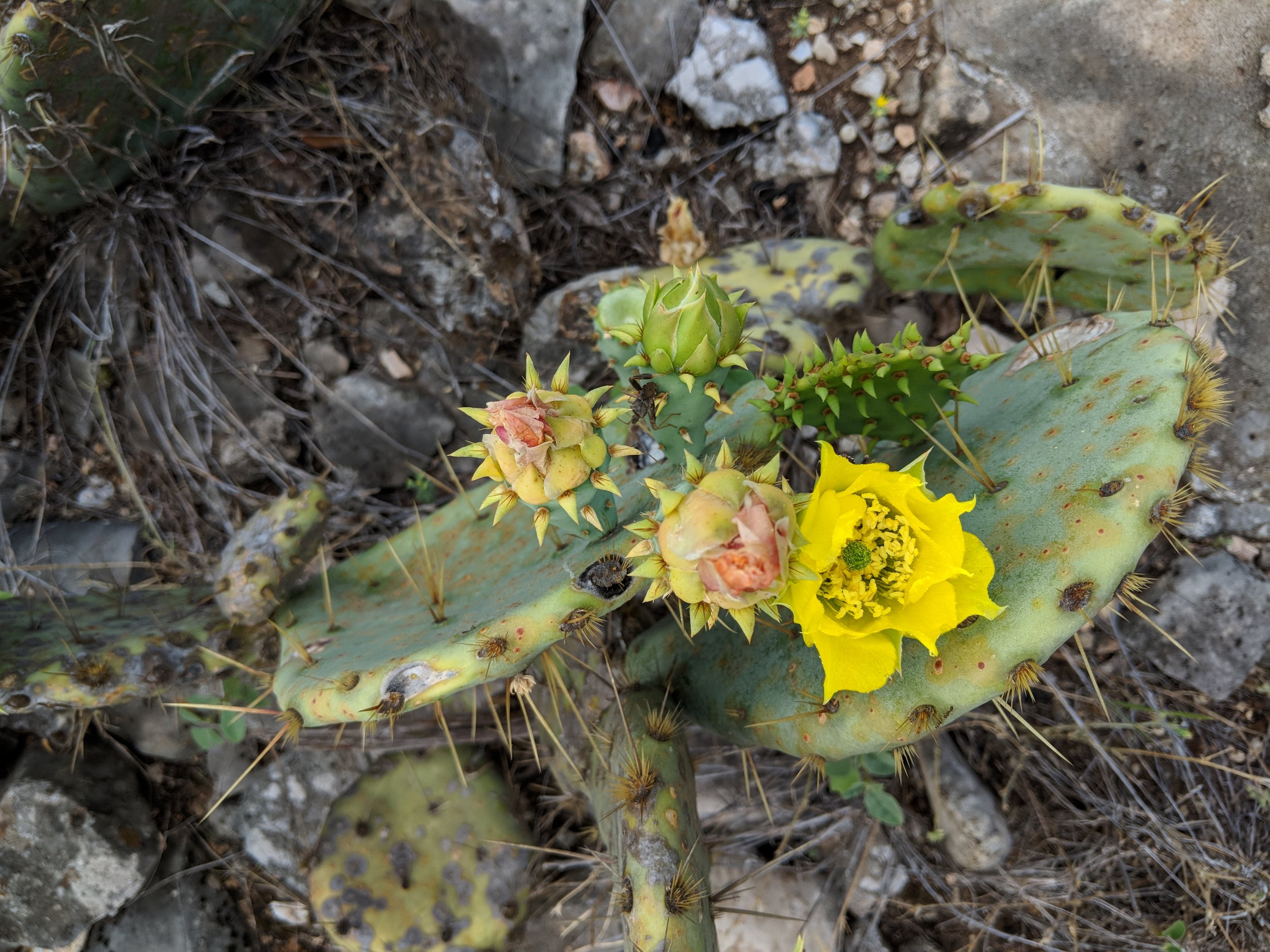
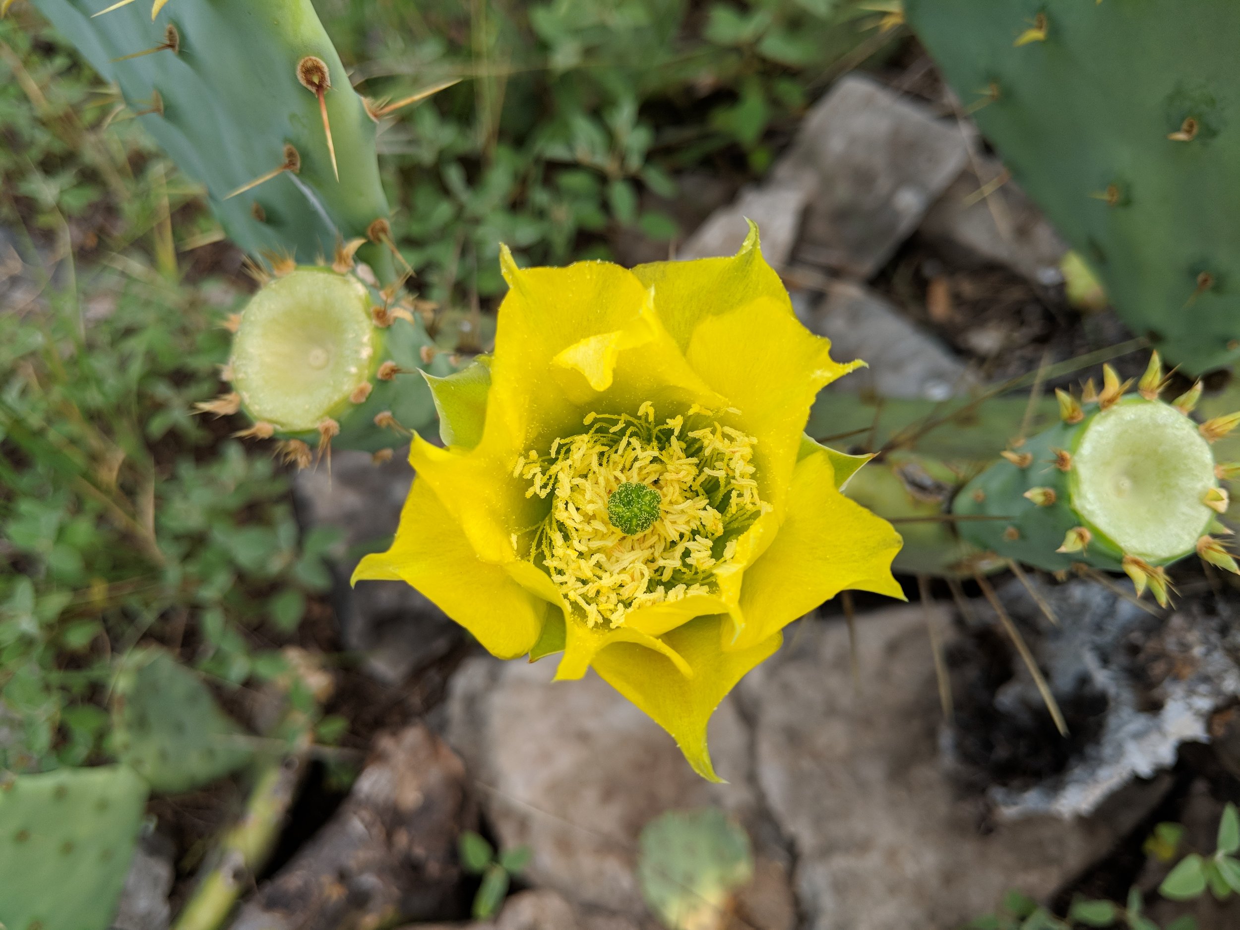
The river was noticeably low and was not too difficult to cross. We started around 8 am, in order to try and get a few miles in before the temps skyrocketed into uncomfortable territory. We saw gorgeous flowers in bloom, cactus flowers, yucca flowers, and of course plenty of insects pollinating. We hiked at a steady pace, had good conversation, and an overall enjoyable morning. This hike was just what my body needed.
Overall, it was a satisfying hike with a new hiking partner. On our way out, the line to get in the park was damn near 50 cars long, so I'm glad we got there when we did. Here's to you, old standby, your views and trails are always worth it to me. Happy trails!

#hike18 - Colorado Bend State Park
"A must see for Texas State Parks - I will return!"
Date: May 19, 2018
Location: Colorado Bend State Park - Bend, TX
Distance: 6.6
Trails: Tie Slide, Gorman Falls, Spicewood Springs (partial)
I had plans to go to Tyler State Park early Saturday morning, but my friend reached out and said her and her family were going to Colorado Bend State Park and that was more appealing because I had always wanted to go there! So, I got up and got ready for a 3am departure, leaving at 3:30 because it's me, and arrived to the park just as the sun was coming up. The parking lot was mostly empty, and the trail was ours. We started our hike as the sun was peeking over the ridge and it made for an excellent introduction to Colorado Bend.
We took the Tie Slide trail to the Colorado River overlook and the views did not disappoint. The trail was rocky but the views of the river make up for any hardships encountered by the group.
From there we made plans to head to Gorman Falls, the legendary falls within the park as springs cascade down a rock wall into the Colorado. The hike was pretty mild until the falls and then it's a steep descent down the rocks (with some handrails to help) to the falls viewing area.
Going down these rocks was a bit slick, from daily use, but the ropes were sturdy and offered a solid point of contact. I found the climb back to the trail much easier than going down, but I always prefer uphill vs. downhill hiking because I feel more accomplished at the top. Anyway, it was a fun little stretch to get to the magical and lush Gorman Falls.
The falls start at the top from a spring and trickle down a rock face that is constantly changing shape. The rock face is covered in moss, ferns and other vegetation. The view of the waterfall can be somewhat obstructed by the trees growing, so the photos don't do this place any justice. If you have the means and ability, visit in person and you will not be disappointed. It's a real treat.
There is a main viewing deck and you can get a glimpse of the falls from the trail on the way down and that's where I chose to take photos. There are signs saying it's a sensitive ecosystem, designed to keep people out of the water and from disturbing the falls. I don't care enough about pictures, as it is burned in my memory, so I respected the signs and you should too by staying in designated areas.
From the falls, back to the parking lot, we were surrounded by meadows of wildflowers at every turn. The cactus flowers were blooming and the bees were buzzing everywhere - busy at work! What a great day to be alive in Colorado Bend State Park.
I have plans to return, either early in the morning again or this fall/winter season. I want to hike every trail here, as they all looked like they offered great views and fun challenges.
As always, happy trails and enjoy a few more photos - wildflowers and part of our hiking group.

Me, my friend Amanda, and her niece's friend.

#hike17 - Herman Vogler Conservation Area
Date: May 5, 2018
Location: Herman Vogler Conservation Area - Rogers City, MI
Distance: 2.75
Trails: 2 loops, part of another
The healing power of hiking is REAL.
This particular hike was one of the most therapeutic of any I've taken over the past 17 months. I was in Northern Michigan to say goodbye to my grandfather and was fortunate enough to have the opportunity. When it was all over, on Saturday, I had the opportunity to take a sunny hike at one of my favorite places near their home to get some fresh air. Hiking is good for the mind, body, and soul and this short little stroll through the muddy woods was no exception. I challenged my body with balance, cleared my head, and soothed my soul all in under three miles - mostly.
Spring came late for Northern Michigan this year, so the trails were either covered in snow, miniature ponds, or troughs of mud. It was fun, and wet, getting through but worth it overall. These trails were the location for hike 51 and 52 last year, just 5 short months ago. Hiking has really been an important part in my life for clearing my head, brainstorming new ideas, and relaxing. I wish you all happy trails and hope you can connect with nature in a beneficial way.

#hike16 - Wichita Mountains Wildlife Refuge
Date: April 29, 2018
Location: Wichita Mountains Wildlife Refuge - Lawton, OK
Distance: 5.6
Trails: Charon's Garden, Crab Eyes
I got up early and drove to Oklahoma. I needed a change of pace and a little adventure, and this location provided both of those things. I parked at the Sunset area and hiked the two trails that share the same beginning. Charon's Garden was lovely, but I got confused and turned around at the boulder field. I'll go back once I investigate the trail a bit more, I was mostly winging it today. The Crab Eyes trail was a nice surprise in variety. It starts going through the woods and over a few creeks and ends with a gentle climb and decent through fields and rocks. I didn't spend much time in the park, but plan to go back. Here are some photos from the day. Enjoy!
(For more info, click HERE!)
Positives: I found maple trees, the sun was shining, the breeze was blowing, spring wildflowers were everywhere, and there were very few people
Negatives: Charon's Garden is a little confusing at the boulder field


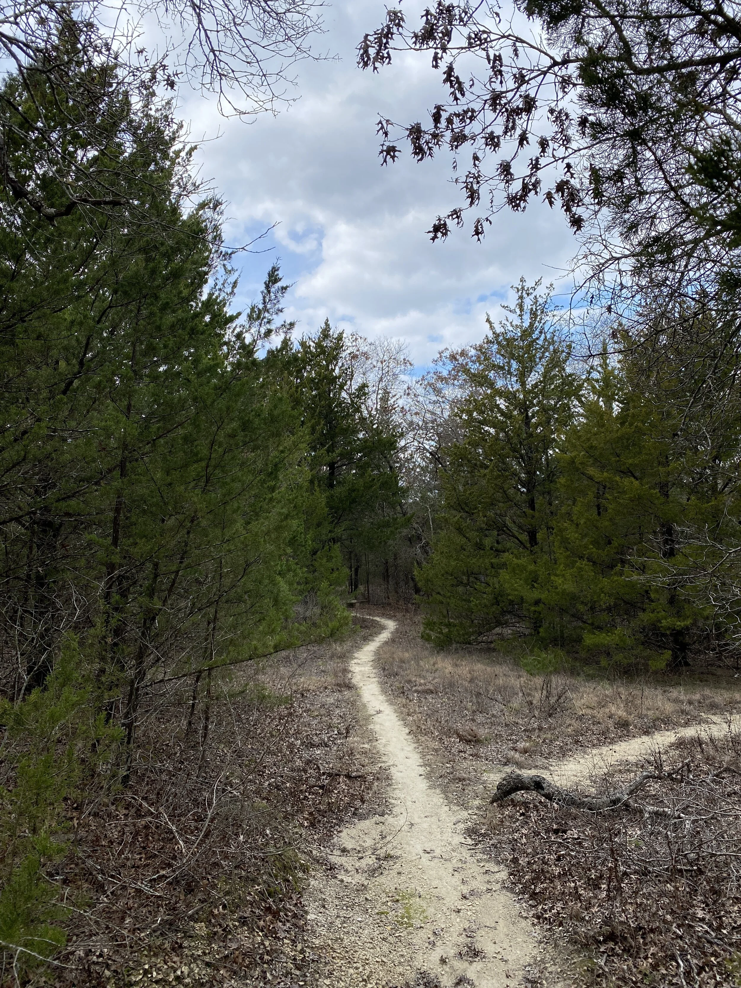
#hike15 - Cedar Ridge Preserve
Date: April 15, 2018
Location: Cedar Ridge Preserve - Dallas, TX
Distance: 4.1
Trails: Escarpment, Fossil Valley, Cedar Brake (trail map)
At Cedar Ridge, huge crowds of people are unavoidable and it's something I have just learned to deal with as part of hiking in a huge metro area with limited options.
My top 3 things to love about the people at Cedar Ridge:
- Families that hike together - there are a lot of them and it's so nice to see. I've seen multiple generations out together, which is so cool.
- Older dudes hiking together just shootin' the shit, I aspire to have a friend when I'm old to causal hike the neighborhood park with and talk about life.
- People walking their dogs - face it, dogs are awesome and for me are the highlight of the hike.
My top 3 things I don't love so much about the people at Cedar Ridge:
- People who leave their dog poop at the entrance or don't keep their pets close to them while walking
- Couples basically making out on every bench or as they walk - get a damn room already! I just don't think that's cool... hold hands, but you don't have to kiss and make out.
- People that don't share the trail... Mainly, groups that don't go single file on narrow areas when people are passing. Just because you're mid conversation with your BFF Jill doesn't mean I don't want to get by... get over it.
Today's hike was rejuvenating and I pondered a lot of things. It looked like spring but felt a bit too cool to qualify. On one of my trails, I ran into a fellow blogger and hiker named Richard. His blog has helped me find quite a few new spots and he really is an inspiration to people wanting to trail run. Go check him out here.
I hope y'all have a great week ahead - happy trails!


Revisiting the 2018 Goals
“Goals for 2018:
-Hike more than 300 miles
-Take longer hikes each week
-Include backpacking
-Hike to Guadalupe Peak in Guadalupe Mountains National Park
-Hike in Olympic National Park”
It's time for my first quarterly update to assess the 2018 hiking season...
Statistics:
- 14 hikes
- 97.8 miles
- 9 solo hikes
- 5 companion hikes
- 3 hikes with my dog
- 10 unique locations
- 3 unique states
- 1 unique NPS unit
- Enjoyed all 14!
- 7 miles/hike average
- 202 miles to hit 300 total
- Shortest hike: 3.5 miles
- Longest hike: 9.55 miles
- 114.6 miles to reach my 2017 total
I'm currently headed towards a total of 360 miles, give or take, but still hoping to reach 400 as a super goal. Honestly, I'll be happy with anything over 300 miles as long as they were all enjoyable. I'm running into my usual blockage - finding it difficult to hike locally without dread. I've enjoyed every hike, but the process of getting out is becoming more and more difficult each week. Dallas-Fort Worth has a few great locations, but most of my hiking will require a bit of a drive to spice it up. My 2018 go-to metro location is Eagle Mountain Park with my go-to state park being Dinosaur Valley. As always, I'm open to people coming along though I often dread it because I sweat so much and irrationally fear judgment that probably will not happen anyway.
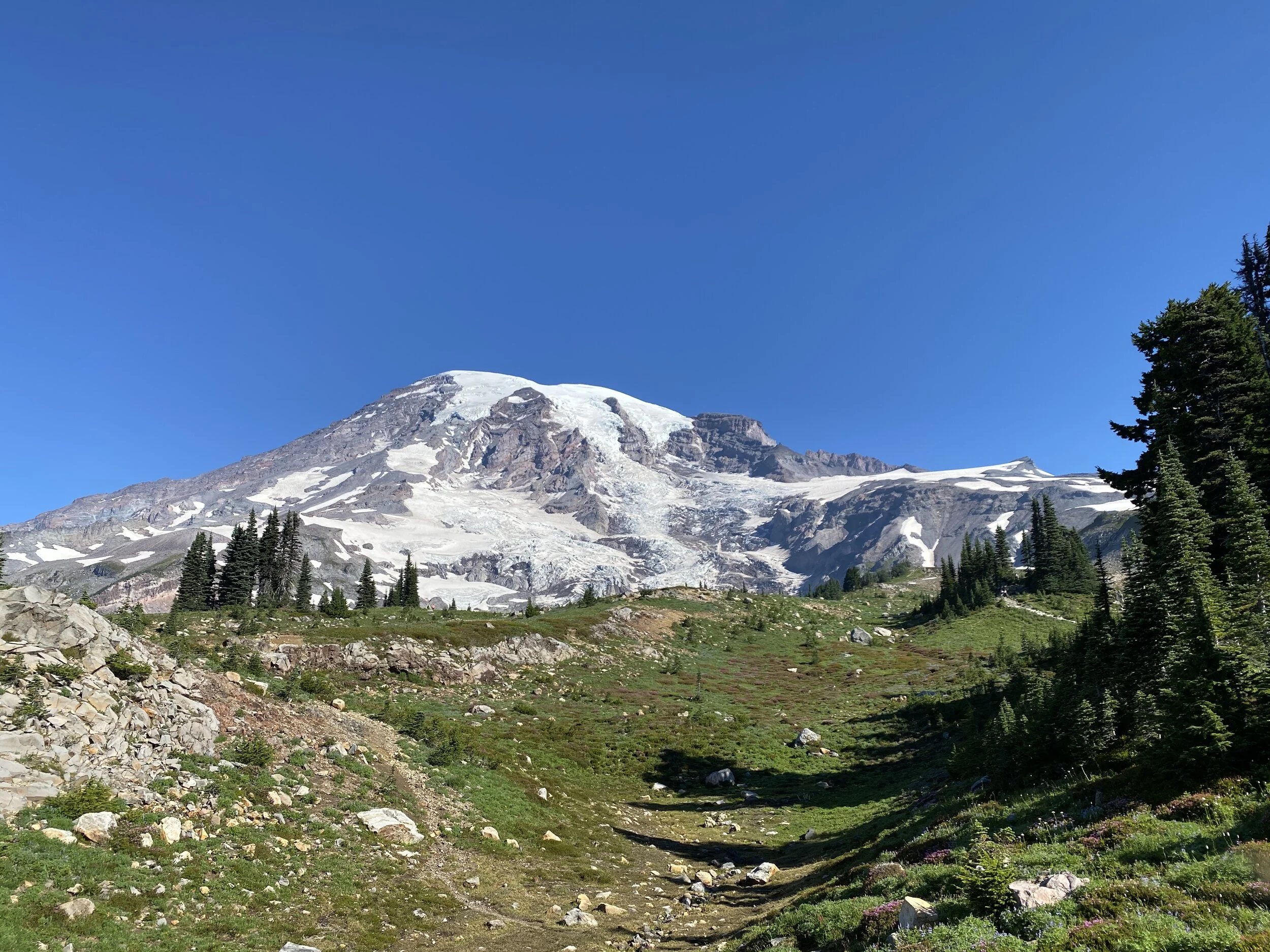
I've hit my goal of hiking in Olympic National Park and I even climbed up 1800 ft while there. I'm ready to attempt the hike to Guadalupe Peak before summer or in the fall. I've been taking longer hikes, and I really enjoy pushing myself beyond 7 miles - I don't even feel it now until about mile 8. All in all, I am hoping to up the average and find a few new places in the near future. Looking ahead to hike 19, I'll hopefully be trekking between the upper and lower Tahquamenon Falls in the Upper Peninsula of Michigan. Looking even further forward, we are possibly returning to Alaska this summer in July around hike 28 and 29.
Moving forward, I'm hoping to make more early Saturday morning drive to places a bit further out to get some new real adventure on the books over the next few months. I can easily drive back up to Oklahoma or Arkansas and find a variety of trails within 4-5 hours if I want forested getaways. If I want some desert landscape, I can push myself to drive to west Texas or even New Mexico to explore over the weekend. Either way, the theme for the future is more adventure and less dragging my feet with getting up and out.
If you'd like to hike along, or have suggestions for me, contact me! Hike your own hike and happy trails.