#WayBackWednesday - Part 3 of 4: The Four Trips that Started it All

QUICK FACTS

What: MMK XC Tour Part Trois
When: 2/26/2009 - 3/9/2009
Where: across 15 states
Who: Mike (me), Kevin (friend & roommate), and Molly (BFF)
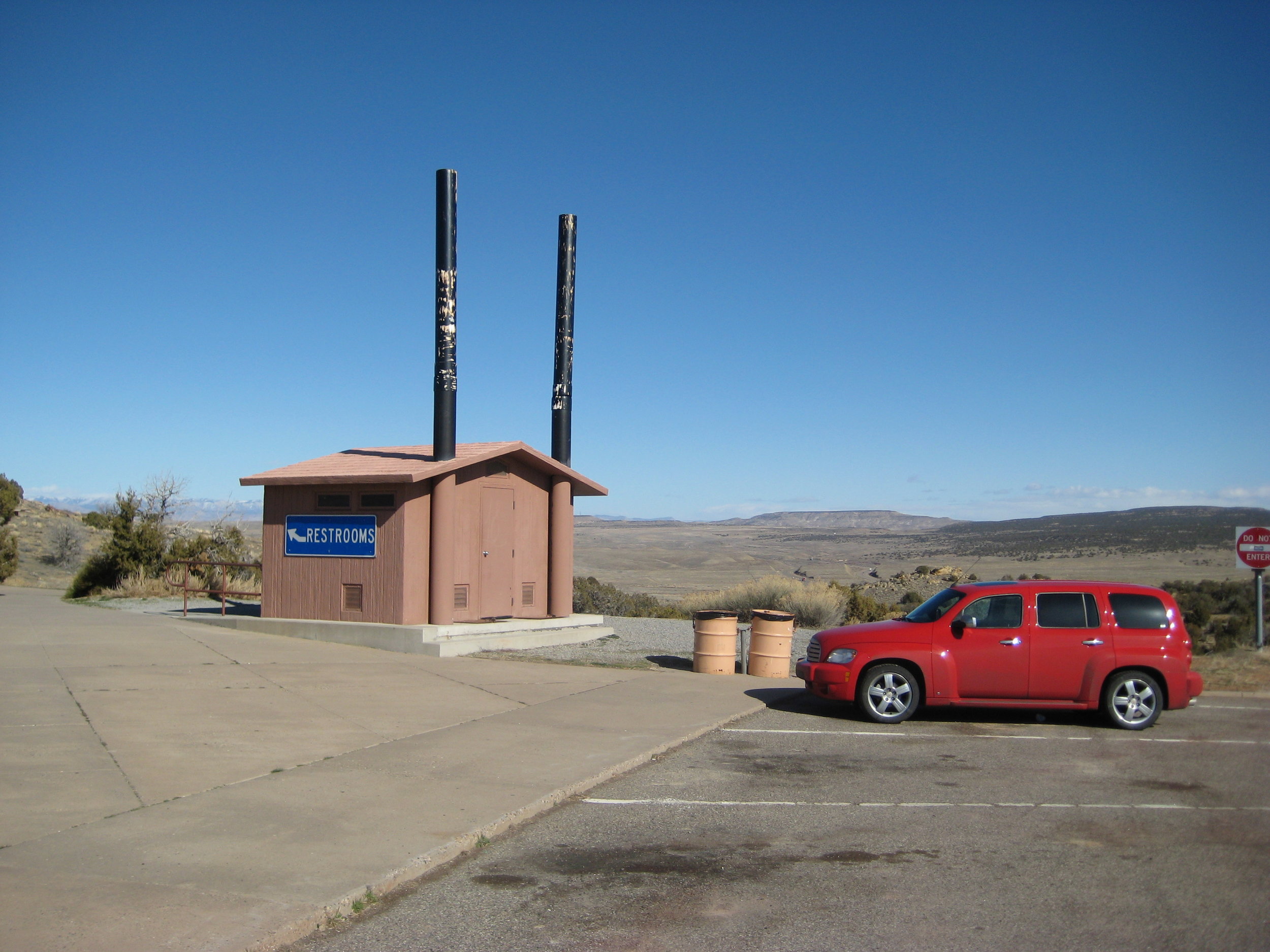
Vehicle: 2009 Chevy HHR LT
FIRSTS
Camping in a National Park
Arches
Portland, OR
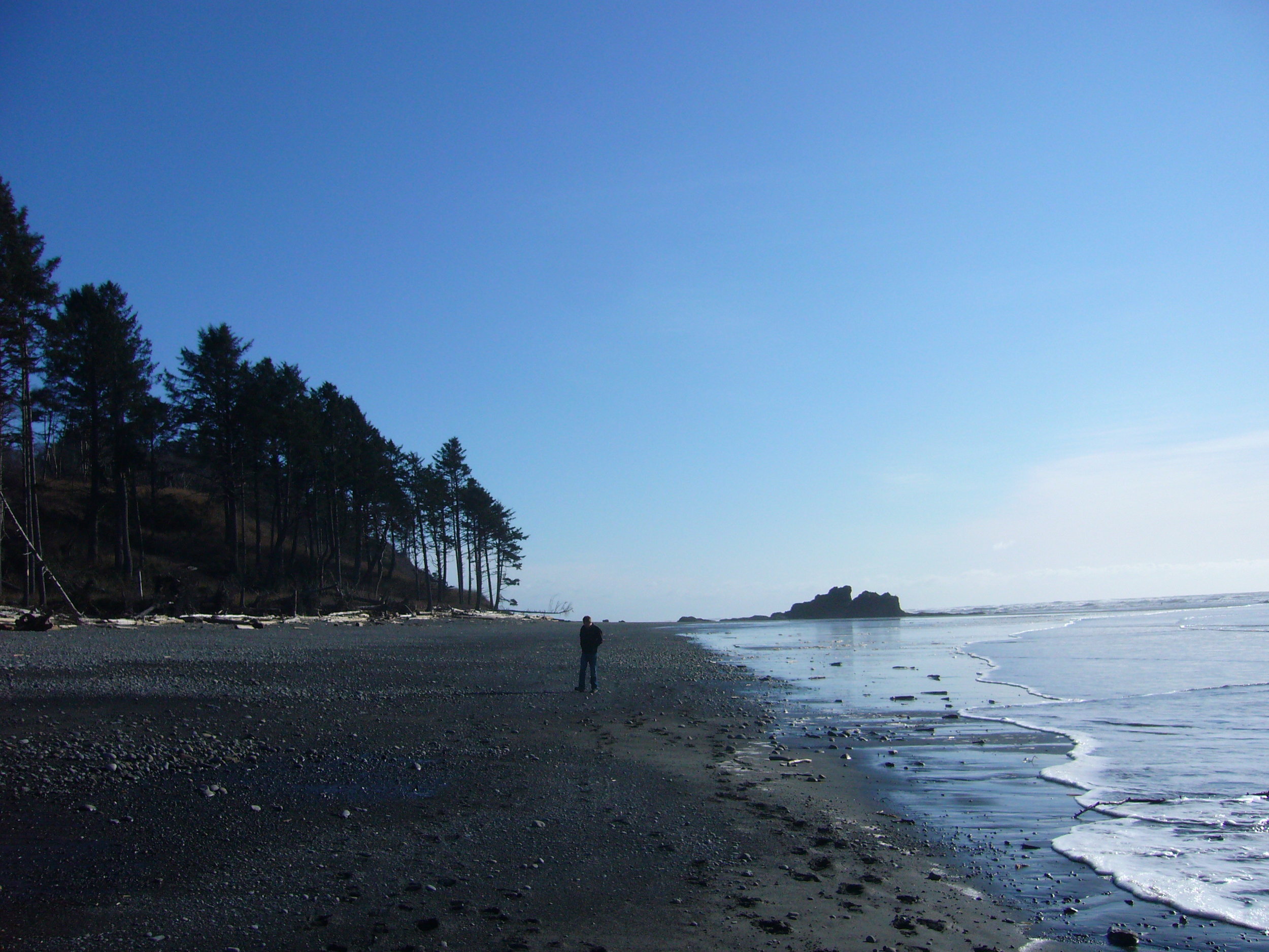
Olympic National Park
STATES
Michigan
Indiana
Illinois
Kansas
Colorado
Utah
Nevada
California
Oregon
Washington
Idaho
Montana
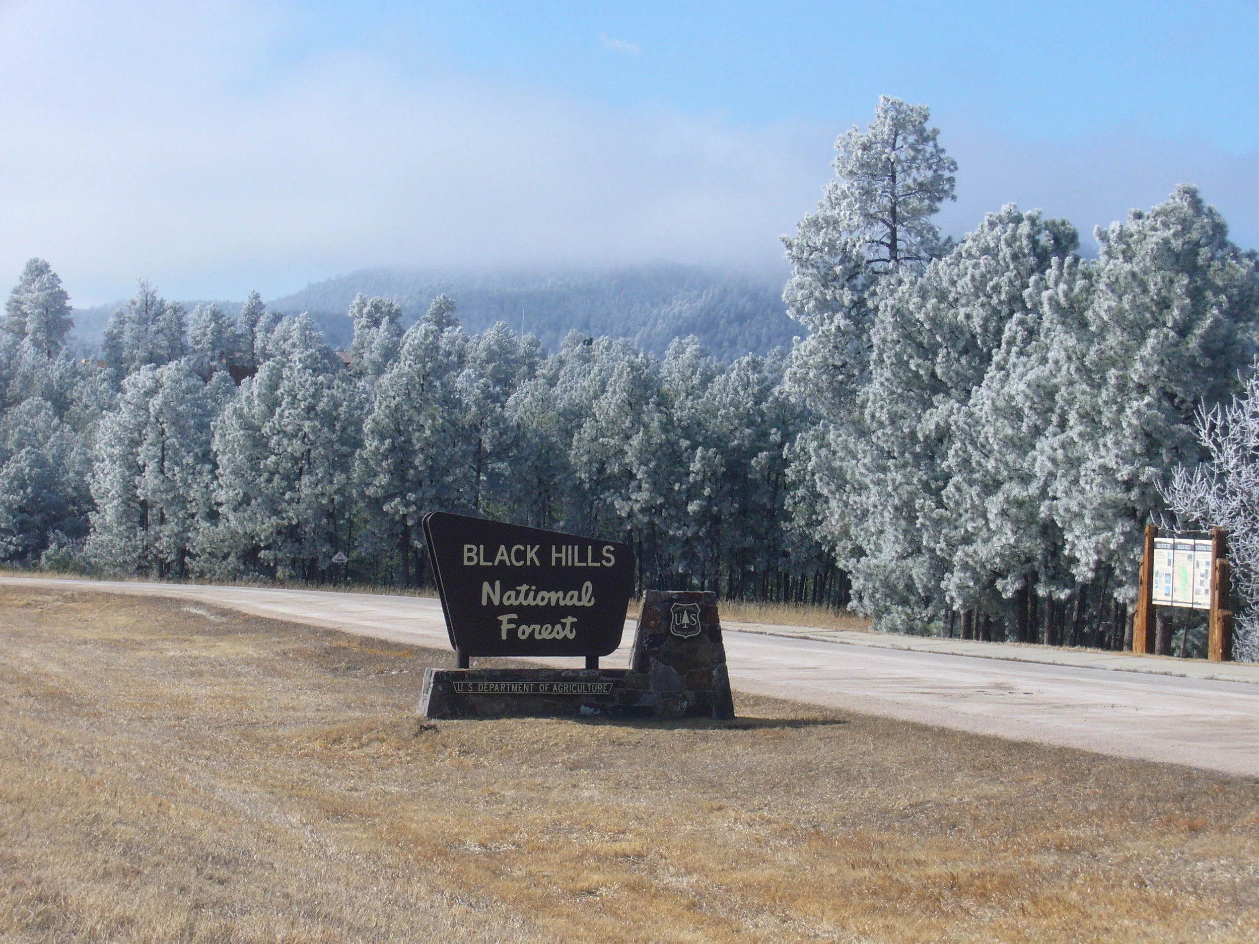
South Dakota
Minnesota
Wisconsin

INTRODUCTION
Road trip styles evolve as you take more of them and this year was no exception. The initial cross country tour offered inspiration for the second, which was more scenic and covered more ground. These two trips combined influenced our desire to be more adventurous on the third trip and it is clear as I look back through notes and photos. Matt, who had graduated and found work, was unable to go along with us this year so we recruited another “M” named Molly. I met Molly through people I befriended from class and she had grown to be one of my very best friends and a good friend of Kevin as well. She loved road trips, adventure, and wanted to see the country with us. She had obligations for the first half of the trip, so she was going to fly one-way to Sacramento and we’d pick her up on our way to the Pacific Northwest. This was one of the most dynamic trips involving camping, long days of driving, unexpected changes in plans, and varied weather patterns. We learned a lot about adaptation and saw the sights with a renewed sense of exploration. Here we go!


GRAND RAPIDS (home) to ARCHES NATIONAL PARK
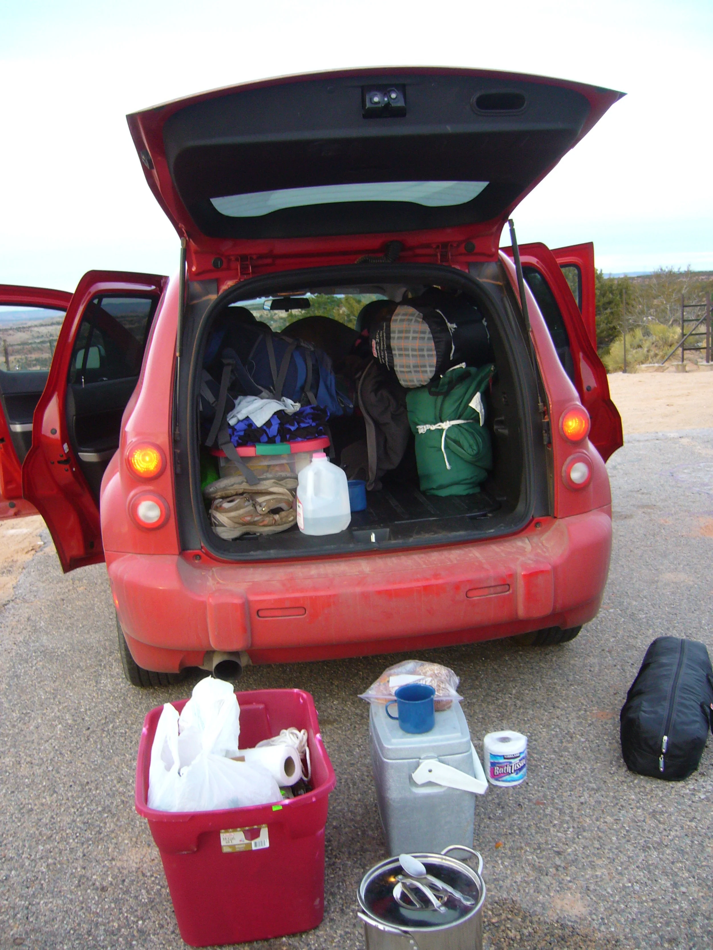
Kevin and I had reserved a car with Budget Rent-A-Car in Grand Rapids for pickup in the morning on February 26, 2009. The car was supposed to be a Chevy Impala, large enough for our gear but also fuel efficient. This year we were adding camping to the first half of the trip, so having enough room for gear was important for the first time on one of our large scale trips. The man at Budget pulls up the reservation and goes through the fine print and gives us a total of over $600. When we reserved it, it was going to be around $300 so that came as quite a shock. We had misunderstood one of the most obvious rules when it comes to car rentals - the 25 and under age penalty. We had entered our ages when we made the reservation so we figured it was okay or wasn't going to apply. Our ignorance and naivete was going to cost us. So, not really wanting to blow our entire lodging, gas, food, and car budget on just the car, we opted to shop around. We went up the street to Hertz. It was the same story there, but the guy was so cool and “mistakenly” entered my birth date as someone 25 years old and gave us a sweet discount. The car cost less than originally planned, but we ended up with a slightly smaller car. The Chevy HHR was going to have to work and was overall okay because it had some storage, a moonroof, and heated seats. I realize now that this mistake could have really screwed some people over, but in the moment it was a win and we were taking it. We were on our way!

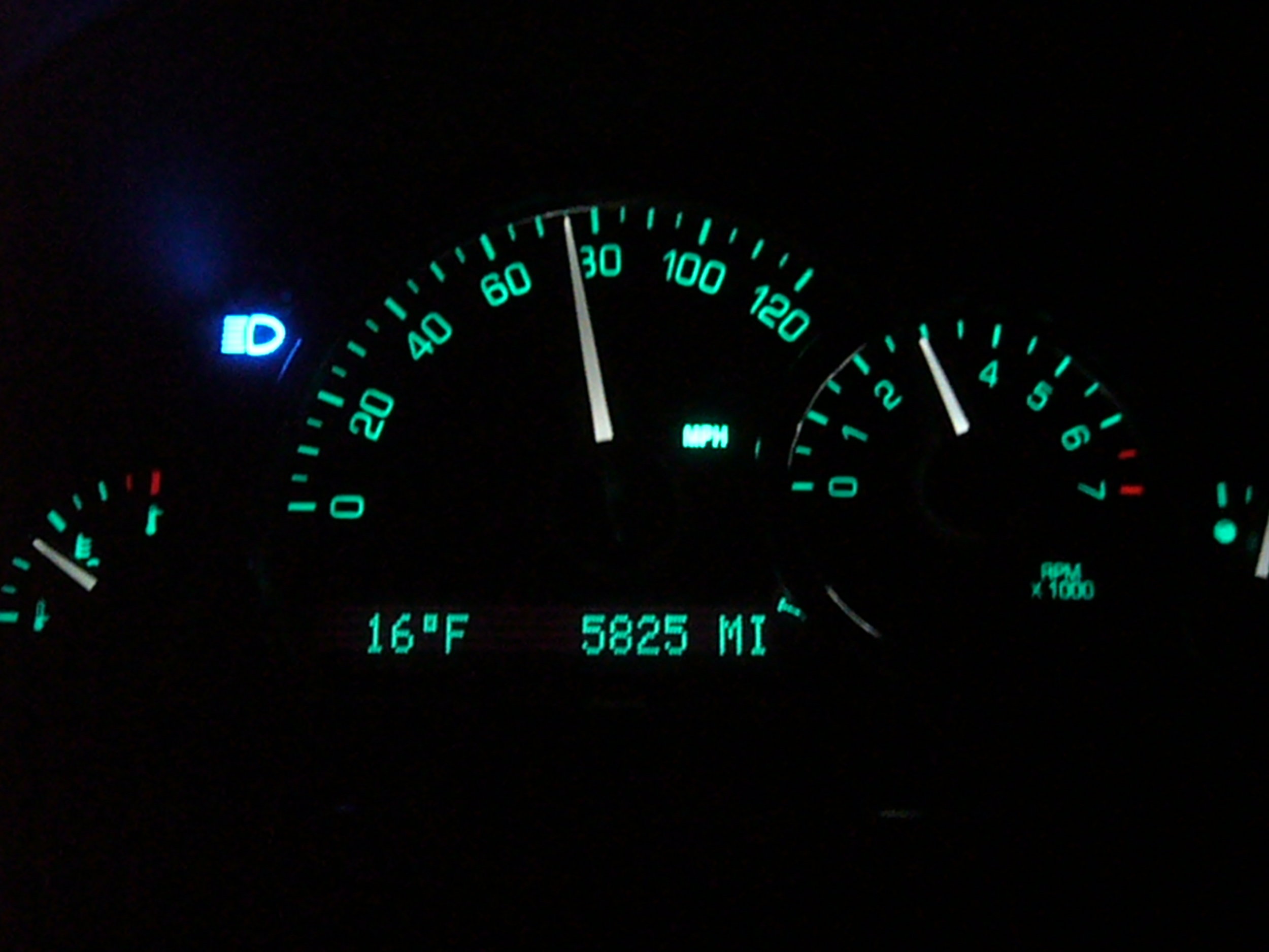
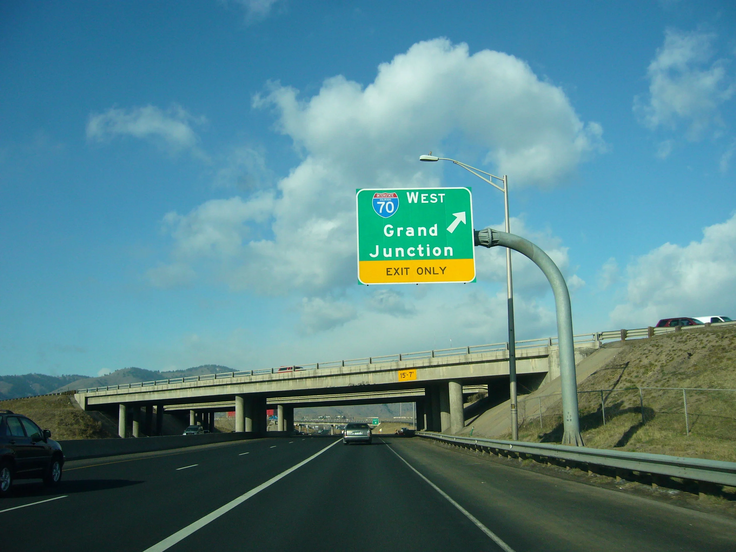
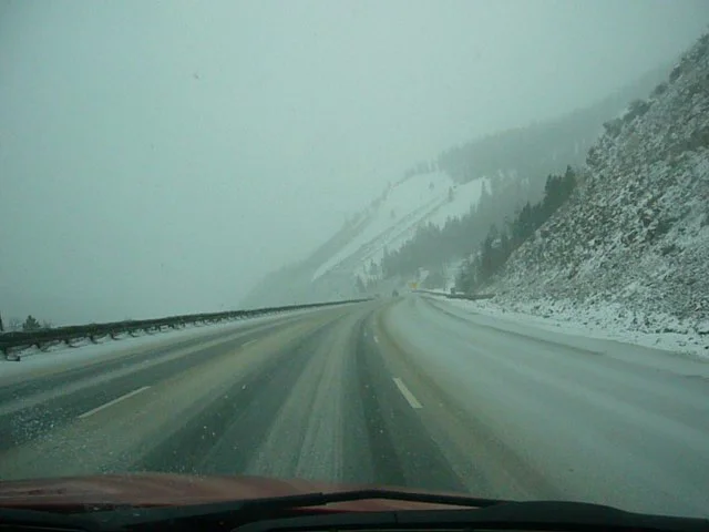
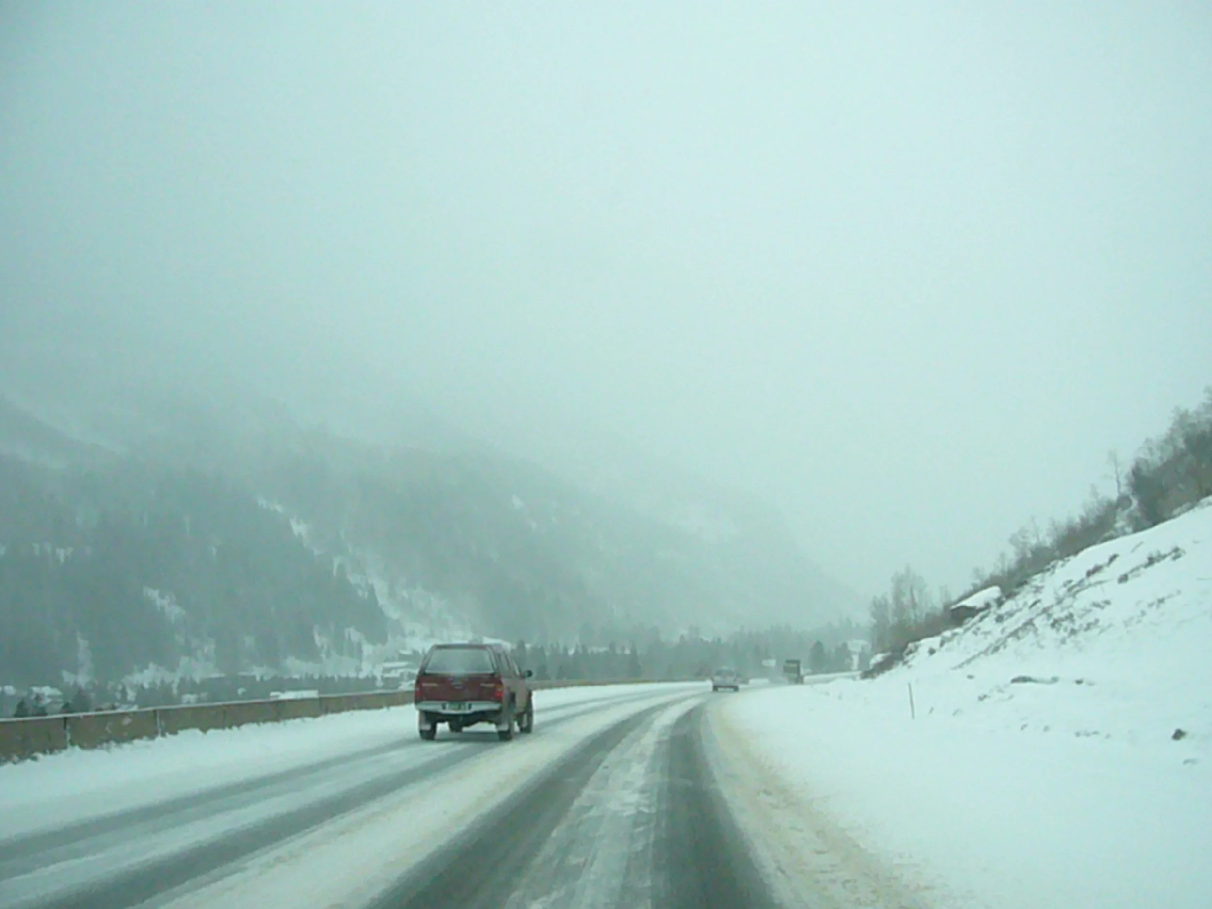
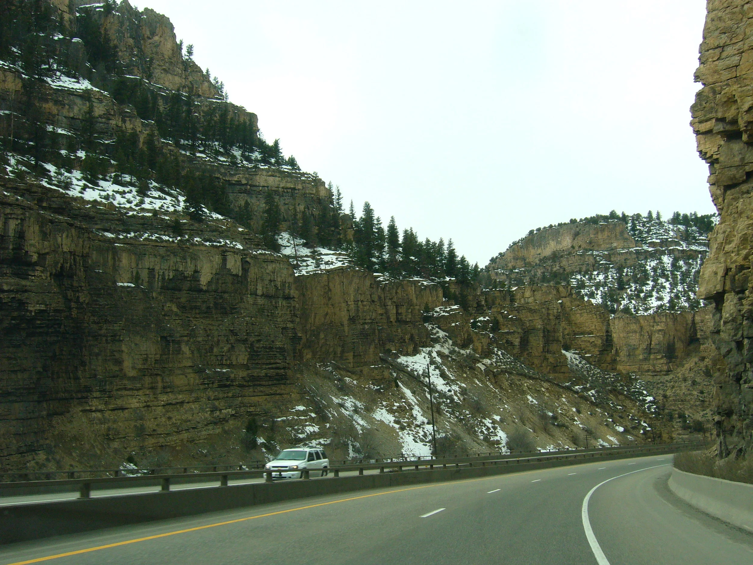
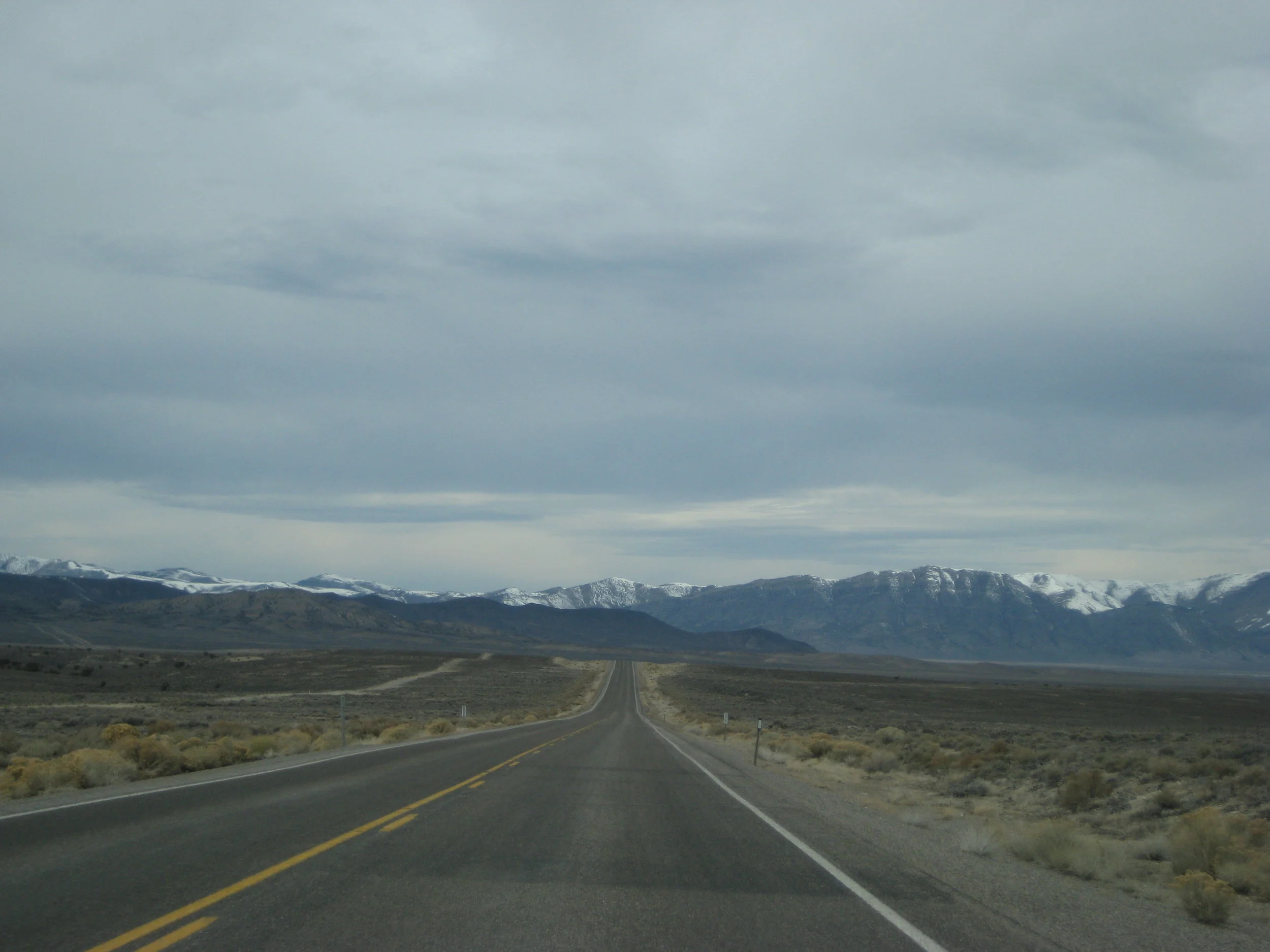
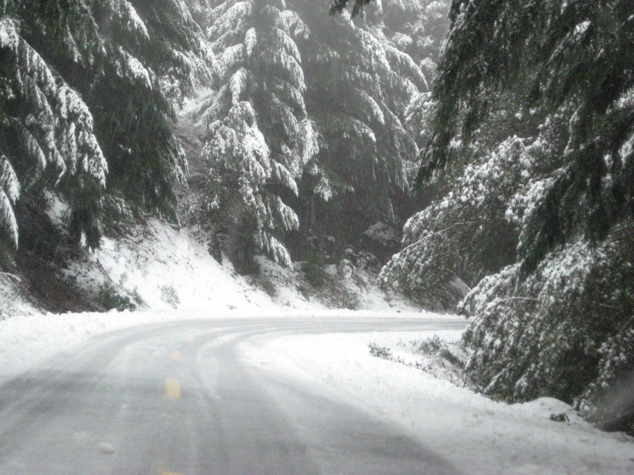
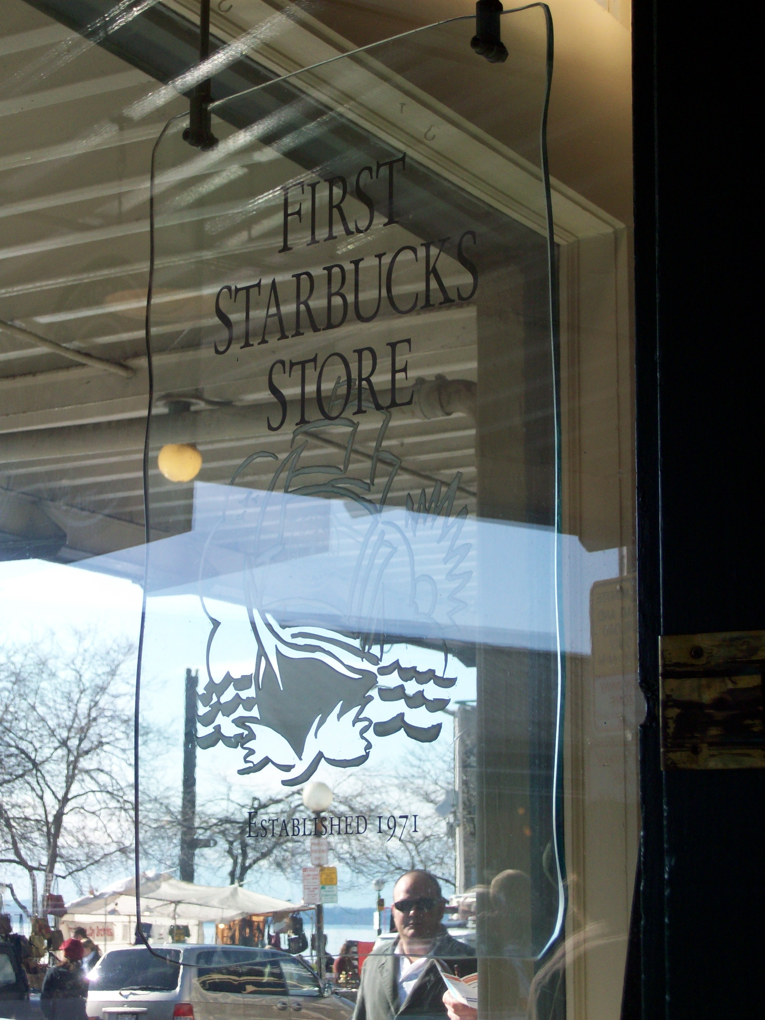
With a late start, we loaded the supplies and gear in the car and finally took off from Michigan. Were going down through Indiana, Illinois, Missouri, and onward through Kansas to avoid a snowstorm in Iowa and Nebraska. We left about 11:30 AM and the rain started around noon. Rain in the Midwest brings out the worst in drivers, especially in February and March. Indiana and Illinois are boring, flat, and the rain was getting worse with lightning as we moved southwest. Eventually we made it to St. Louis and the weather improved to a sunny 70 degrees, but that wouldn't last. The rain picked back up to downpour status in central Missouri and we eventually made it into Kansas with a much needed rest stop around 11 PM. I mention the rest stop because this is where we brewed coffee for the next leg along I-70 into Colorado. We had been on the road for 12 hours and needed a pick me up. We had an old coffee pot that we decided to bring, plug in, and brew coffee in the rest stop bathroom. There was no one else at the rest stop, so it wasn’t that weird for us. Starbucks locations were expensive and closed while gas station coffee wasn’t always a winner, so this was our brilliant idea. The coffee brewing in a rest stop concept received mixed reviews; people are either all for it or think it was a disgusting idea. We filled our travel mugs and hit the road with zero regrets. Further down the road, at a fuel stop in Kansas, we witnessed what we thought was a drug deal but it turned out to be a newspaper delivery person collecting papers for the day. We laughed, filled up with gas, and carried on our way laughing hysterically because it was the middle of the night and we were exhausted. It was that time in the road trip when we were getting a little heavy headed, so we opened the windows and moonroof to the 20 degree weather and blasted some rock music as made our way through Kansas. We entered Colorado around 3:30 AM local time and proceeded to take a nap at the Colorado Welcome Center. As the sun was rising, we were leaving to head west into Denver.
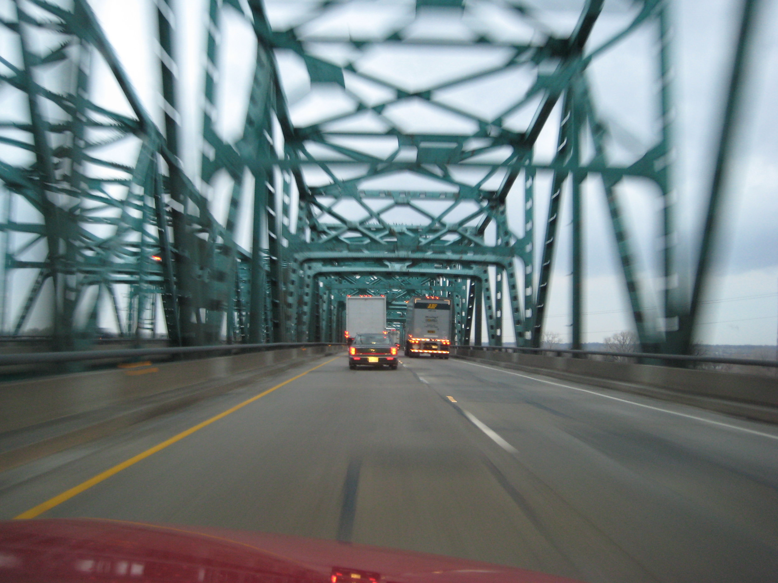

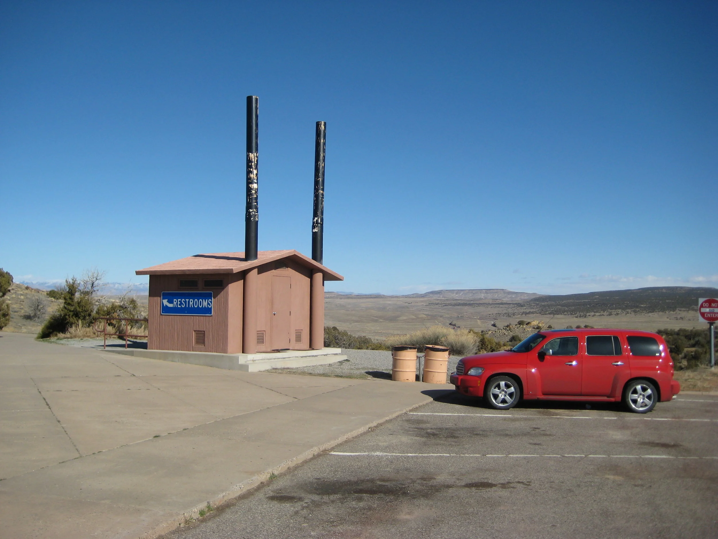
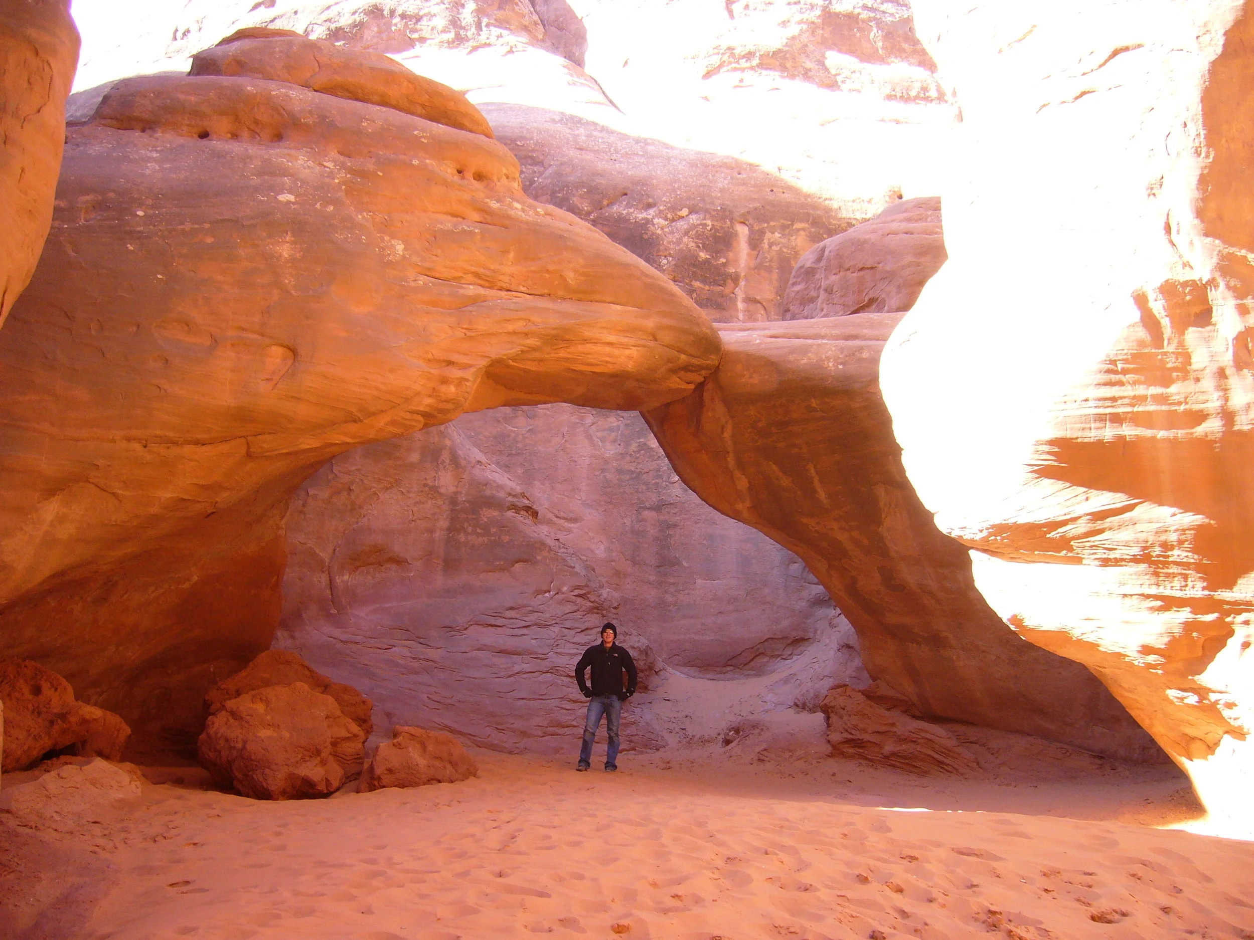
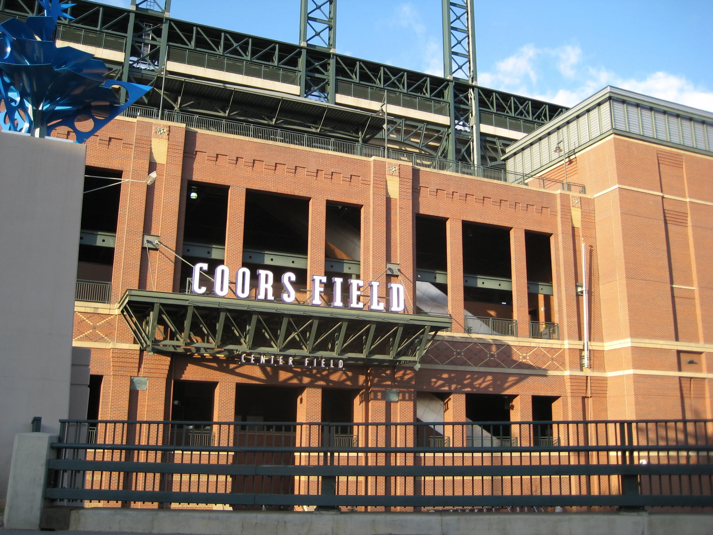
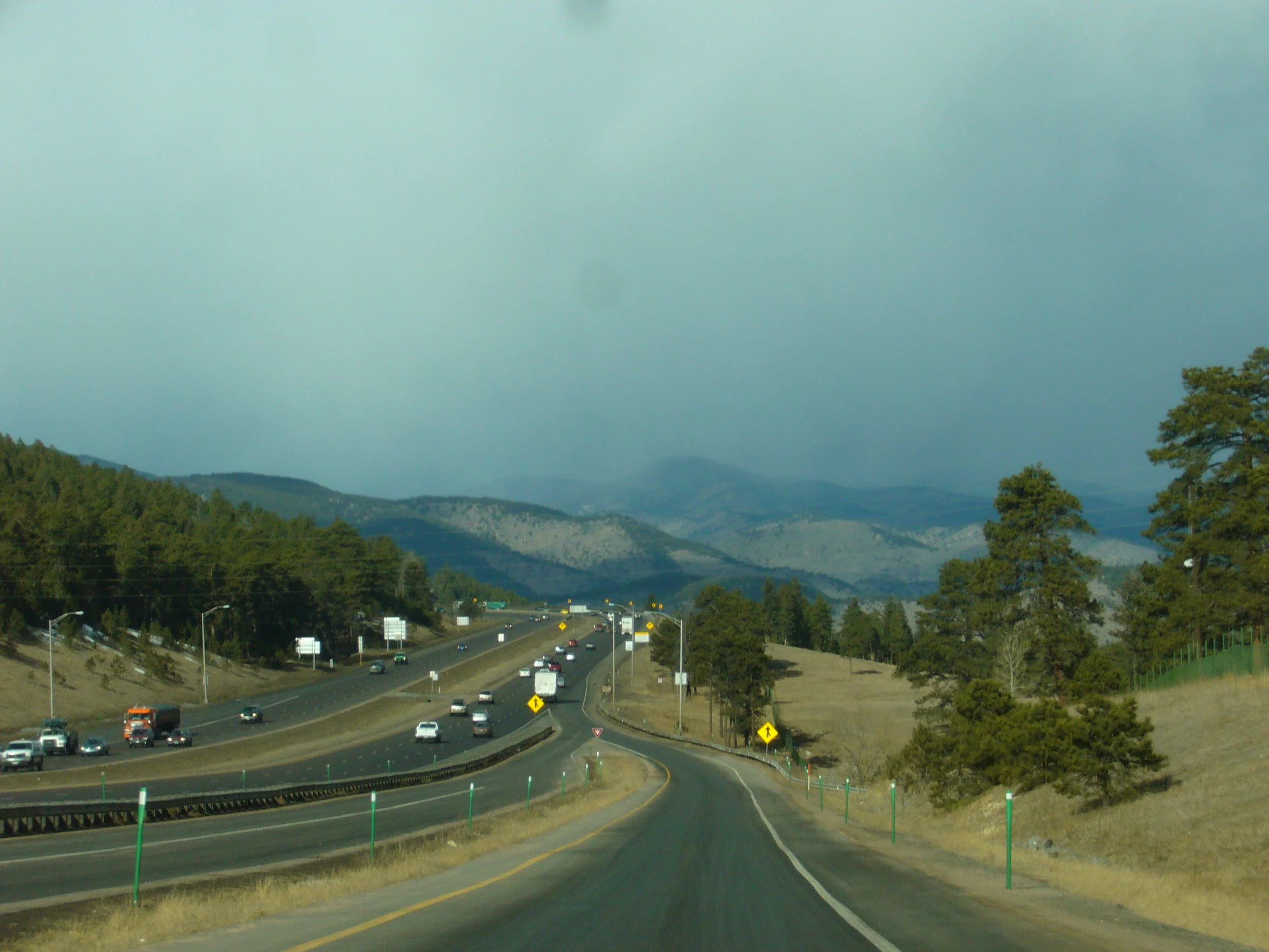
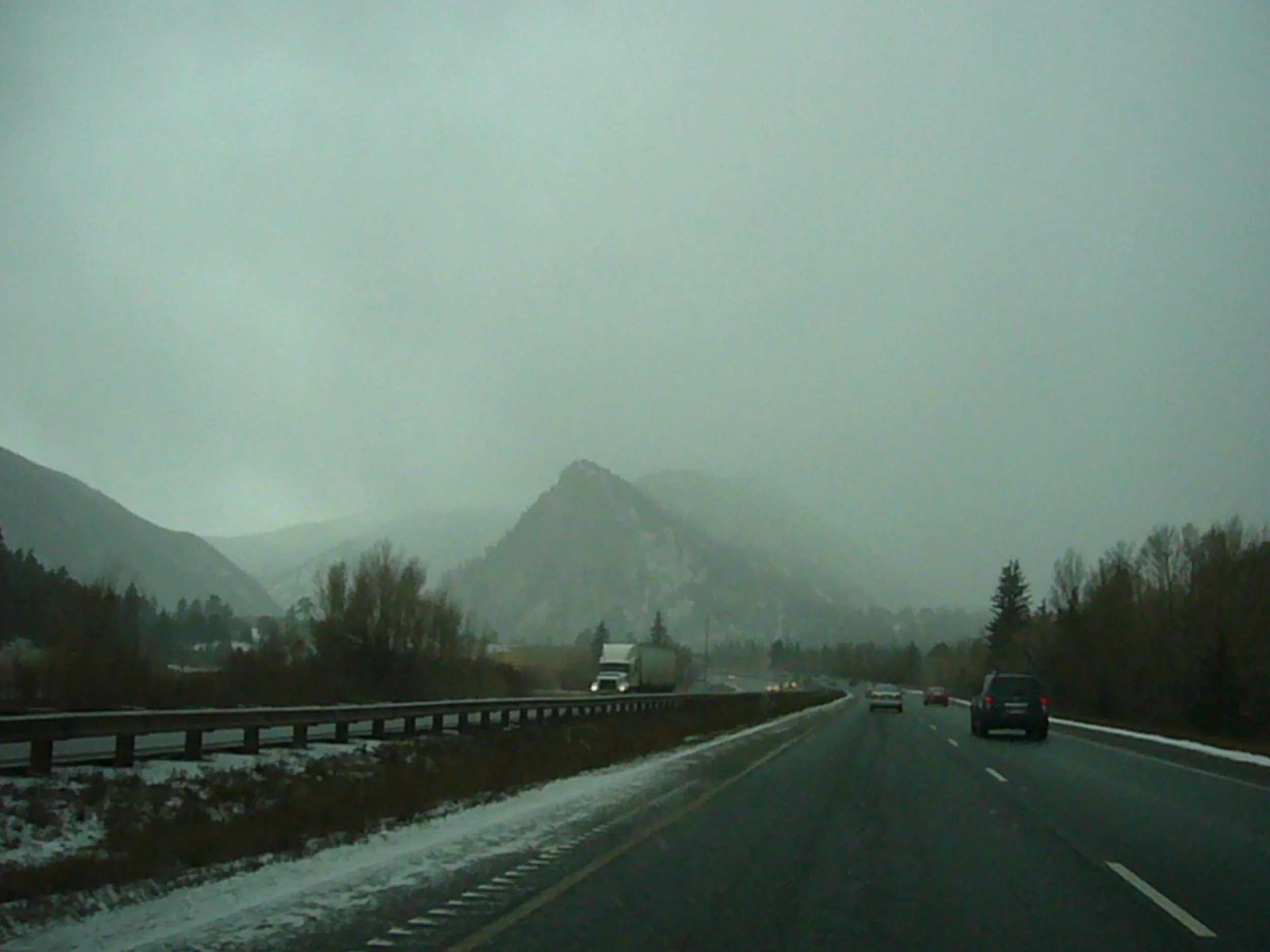
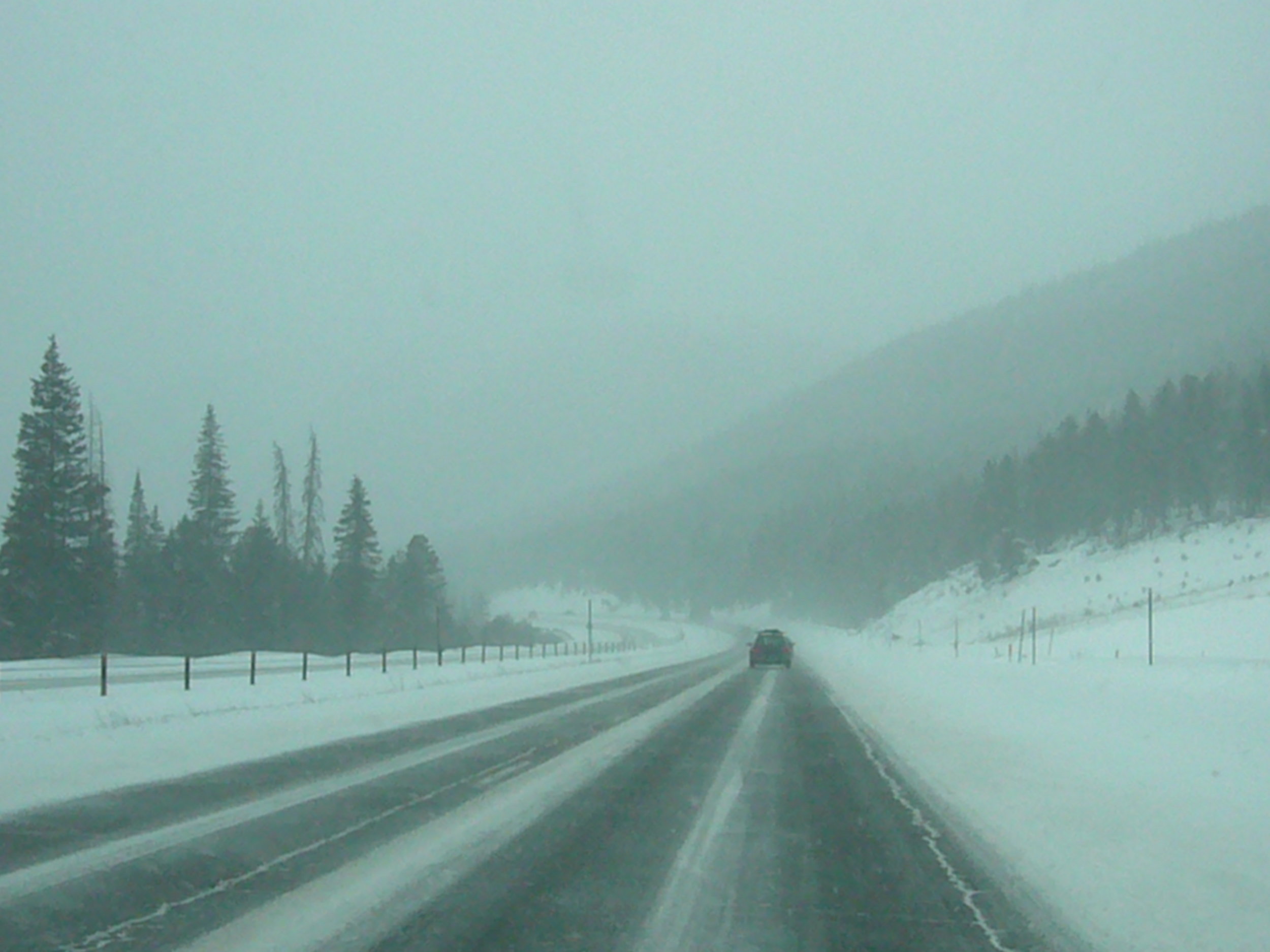
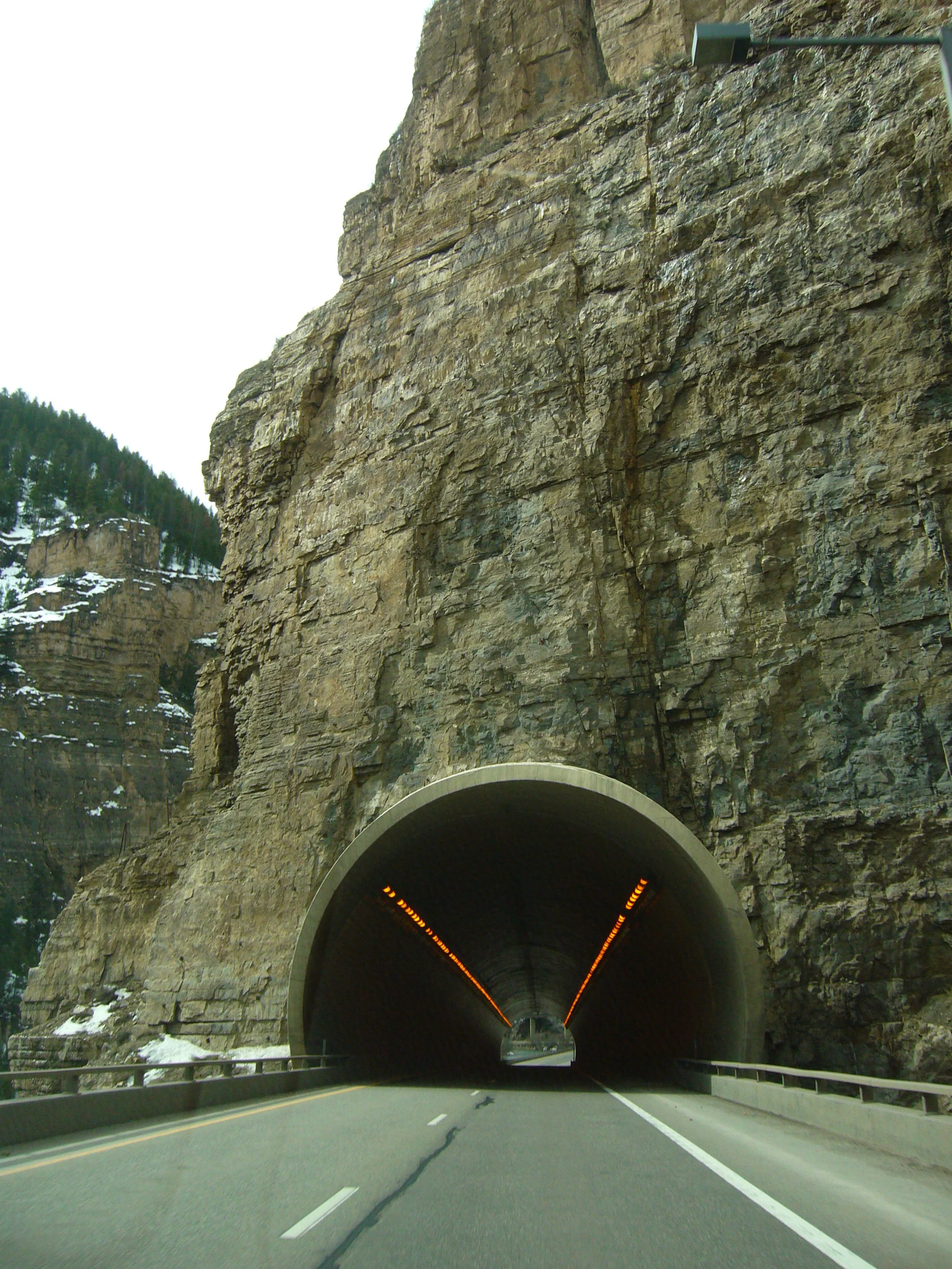
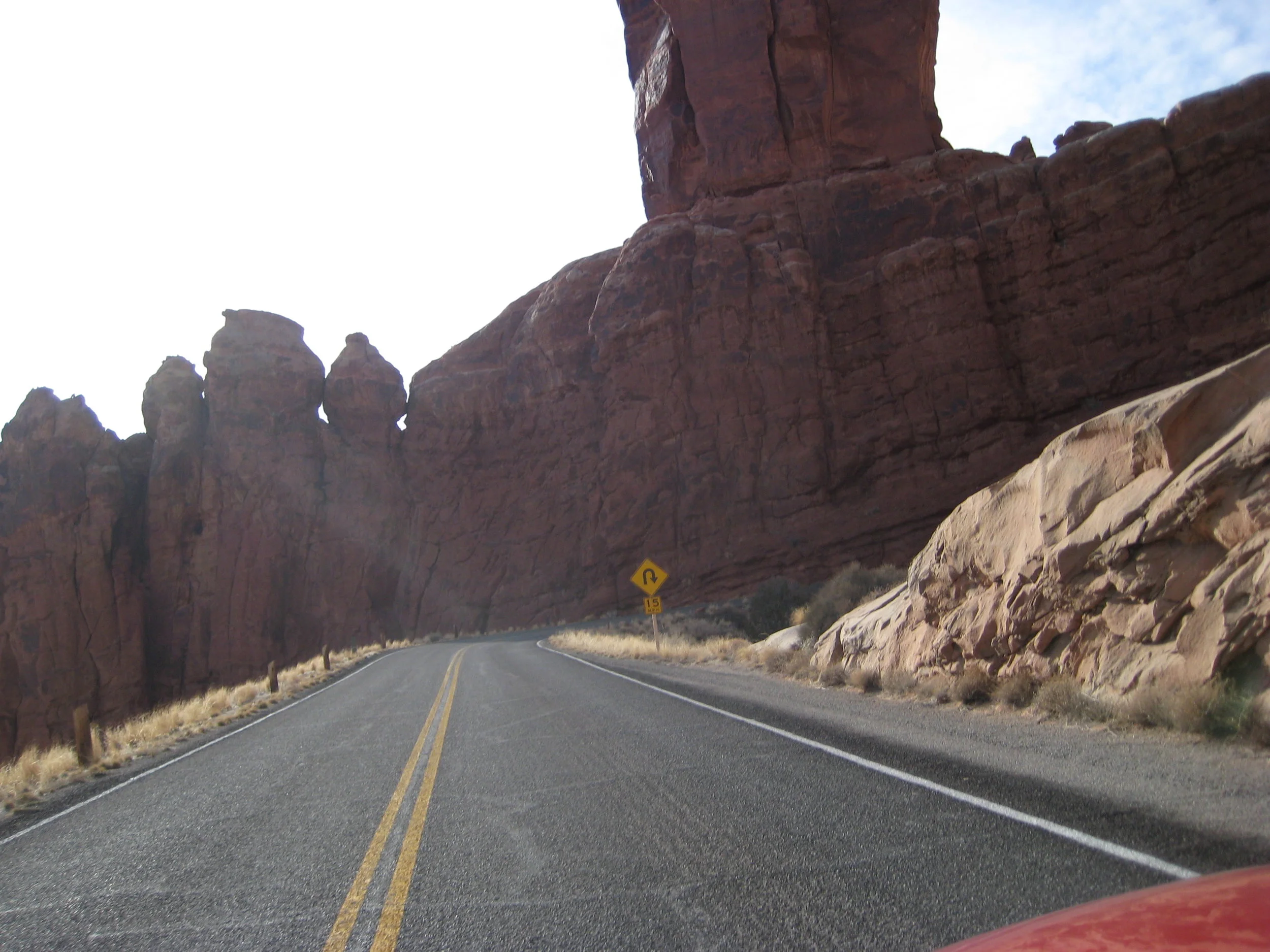
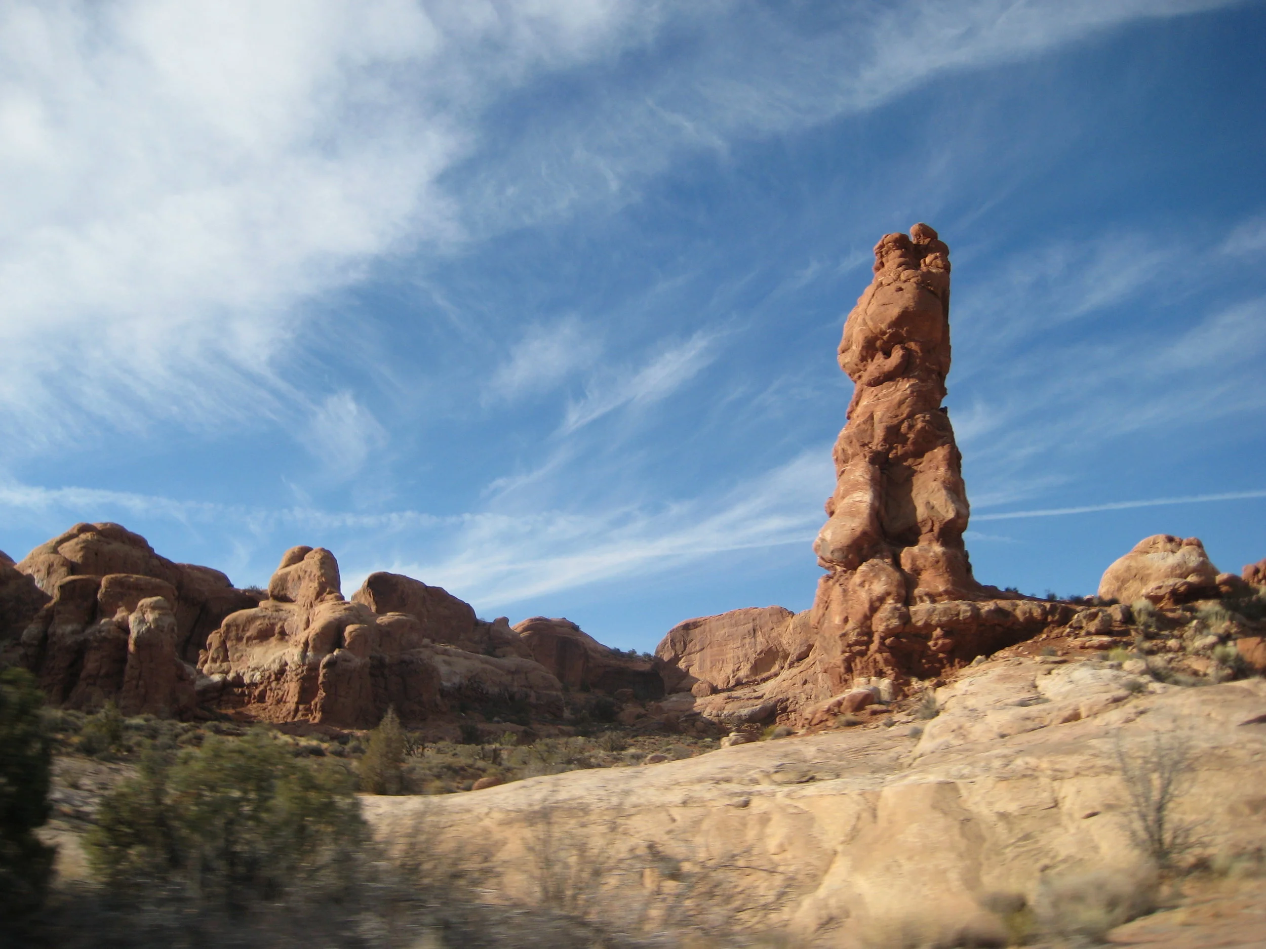
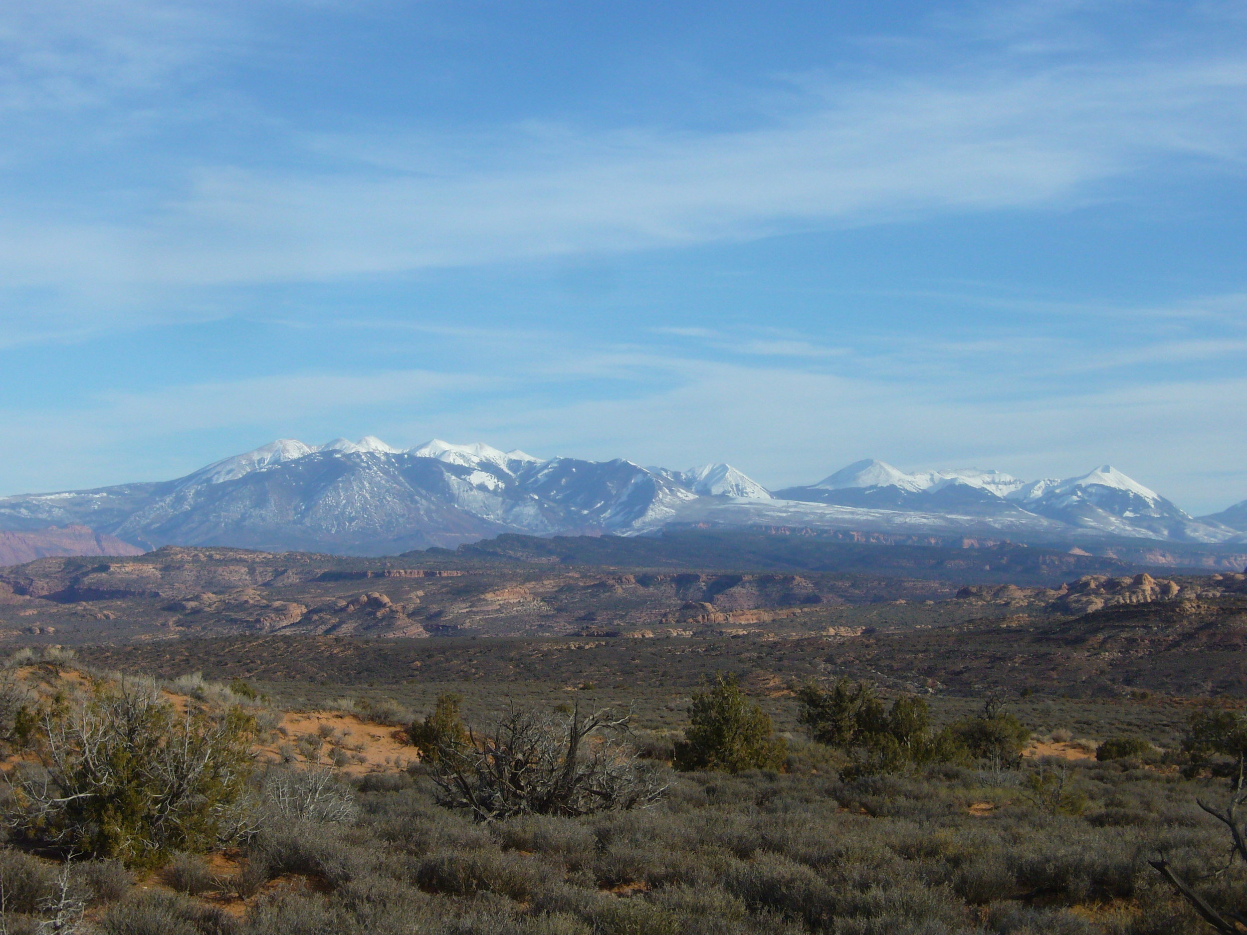
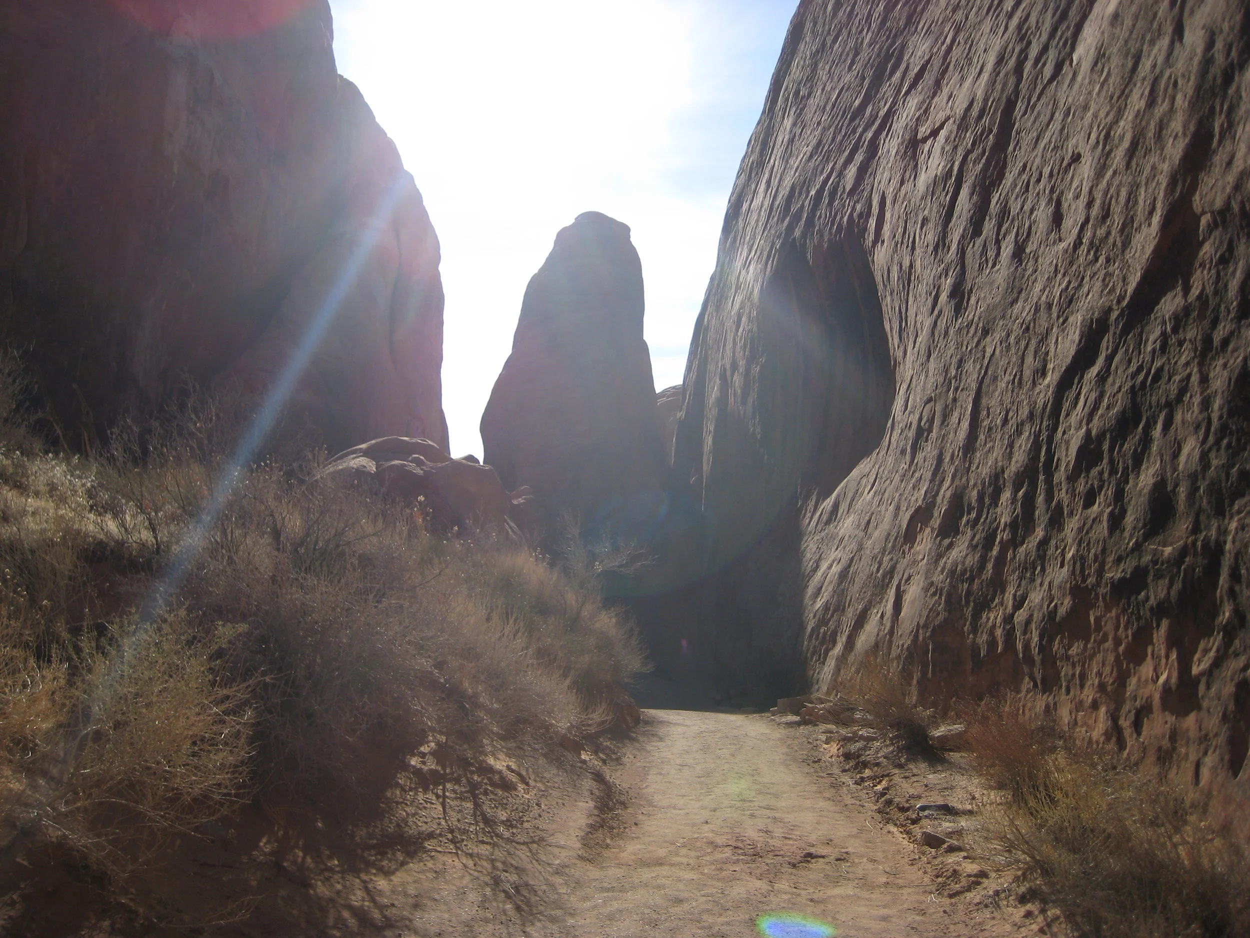
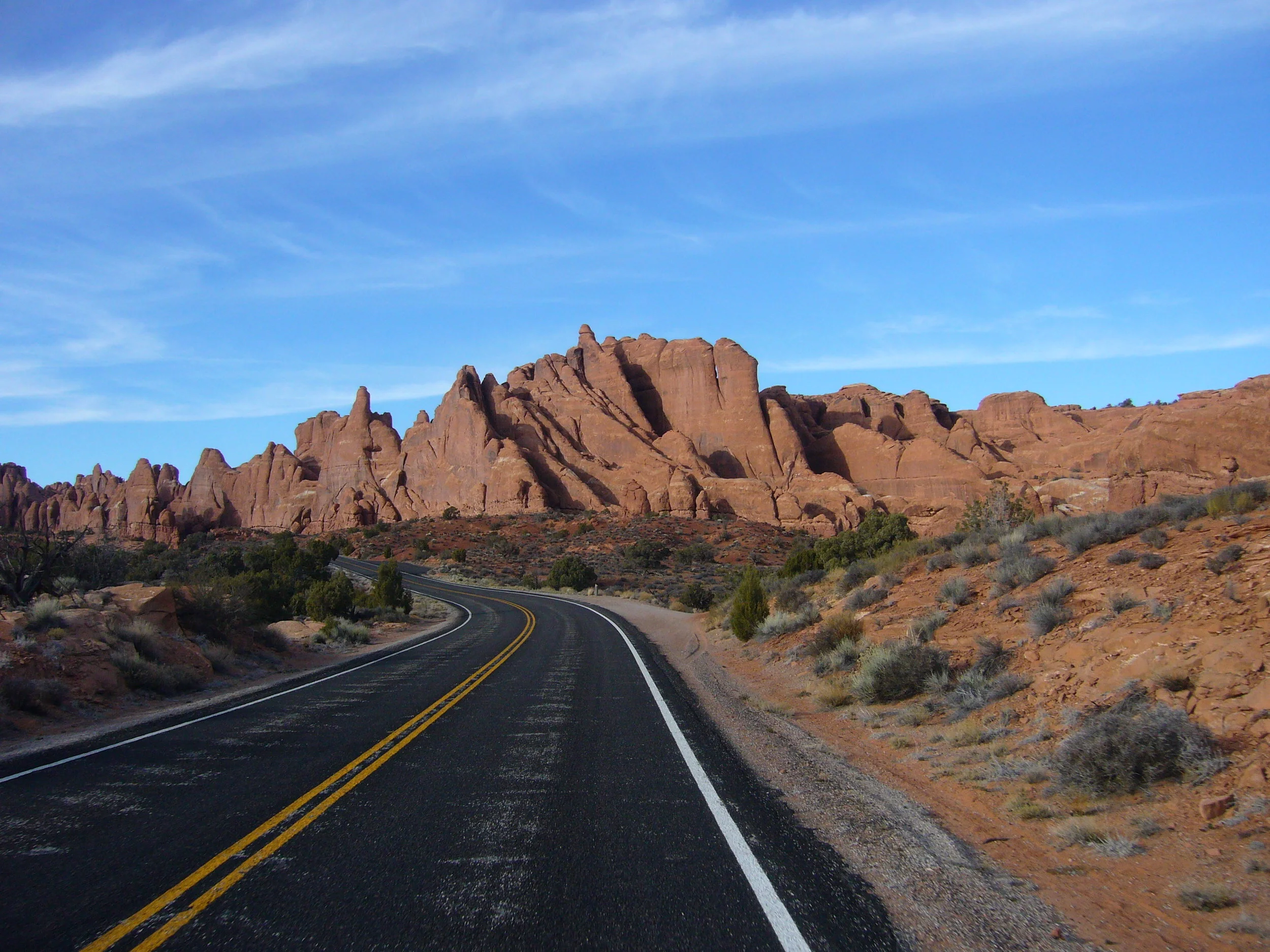
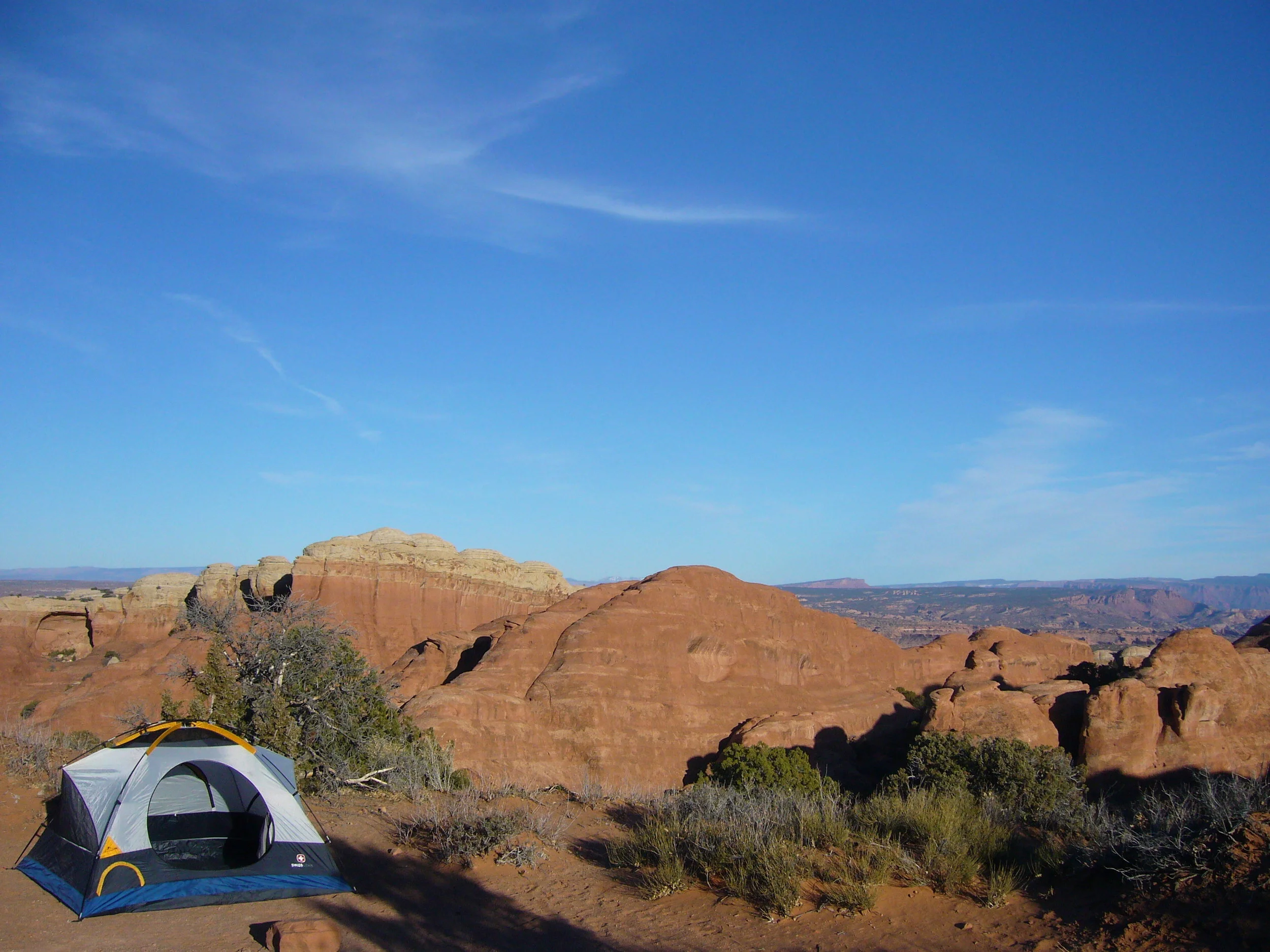
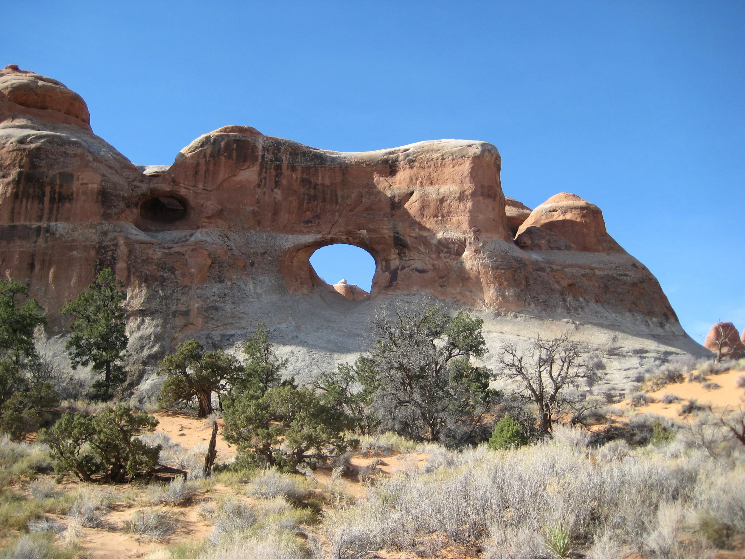
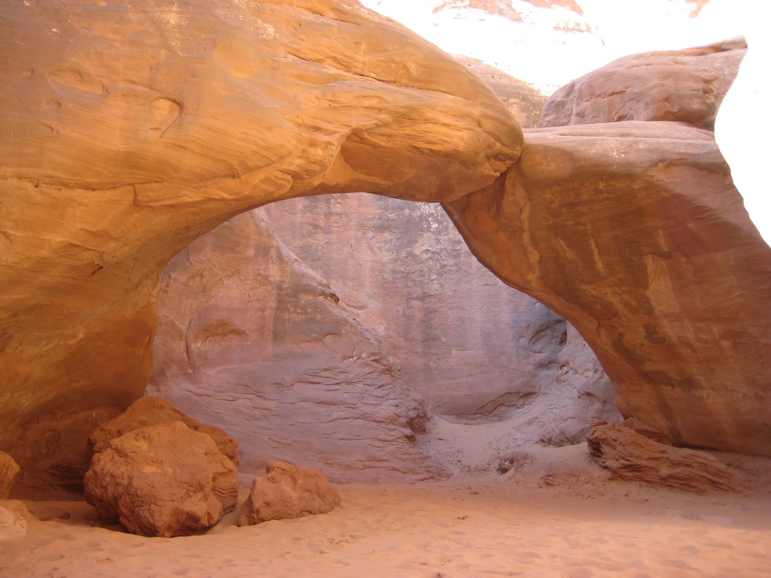
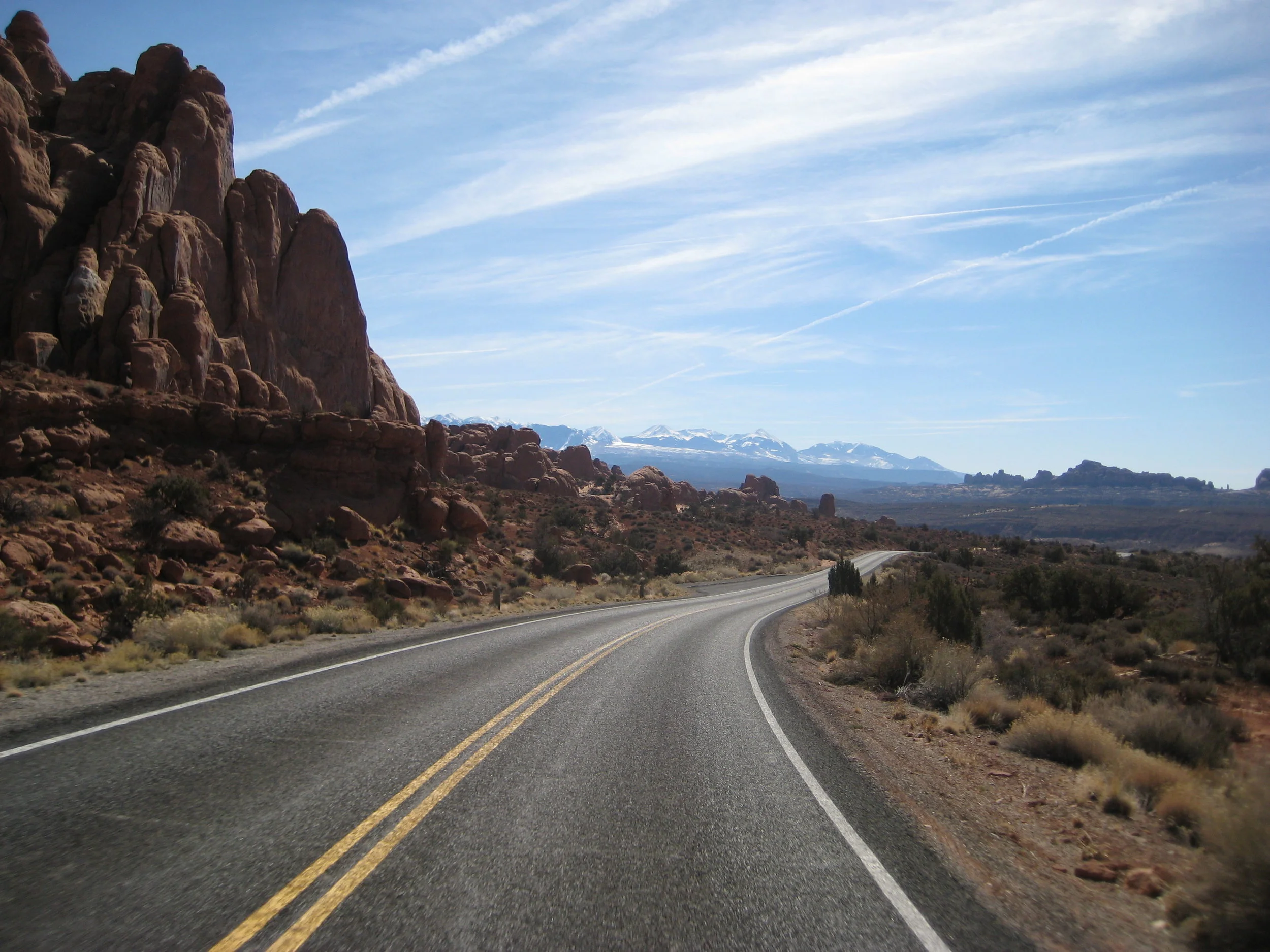
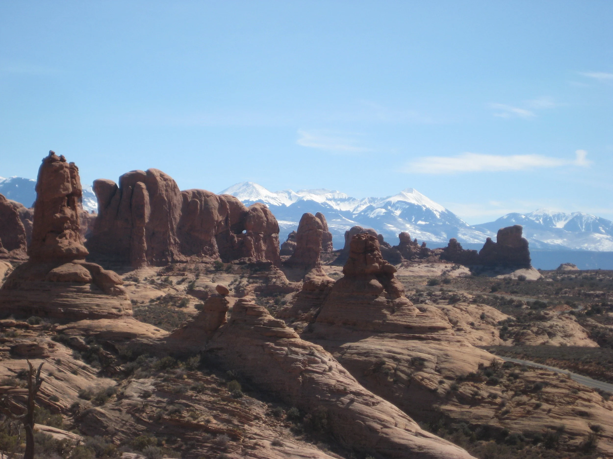
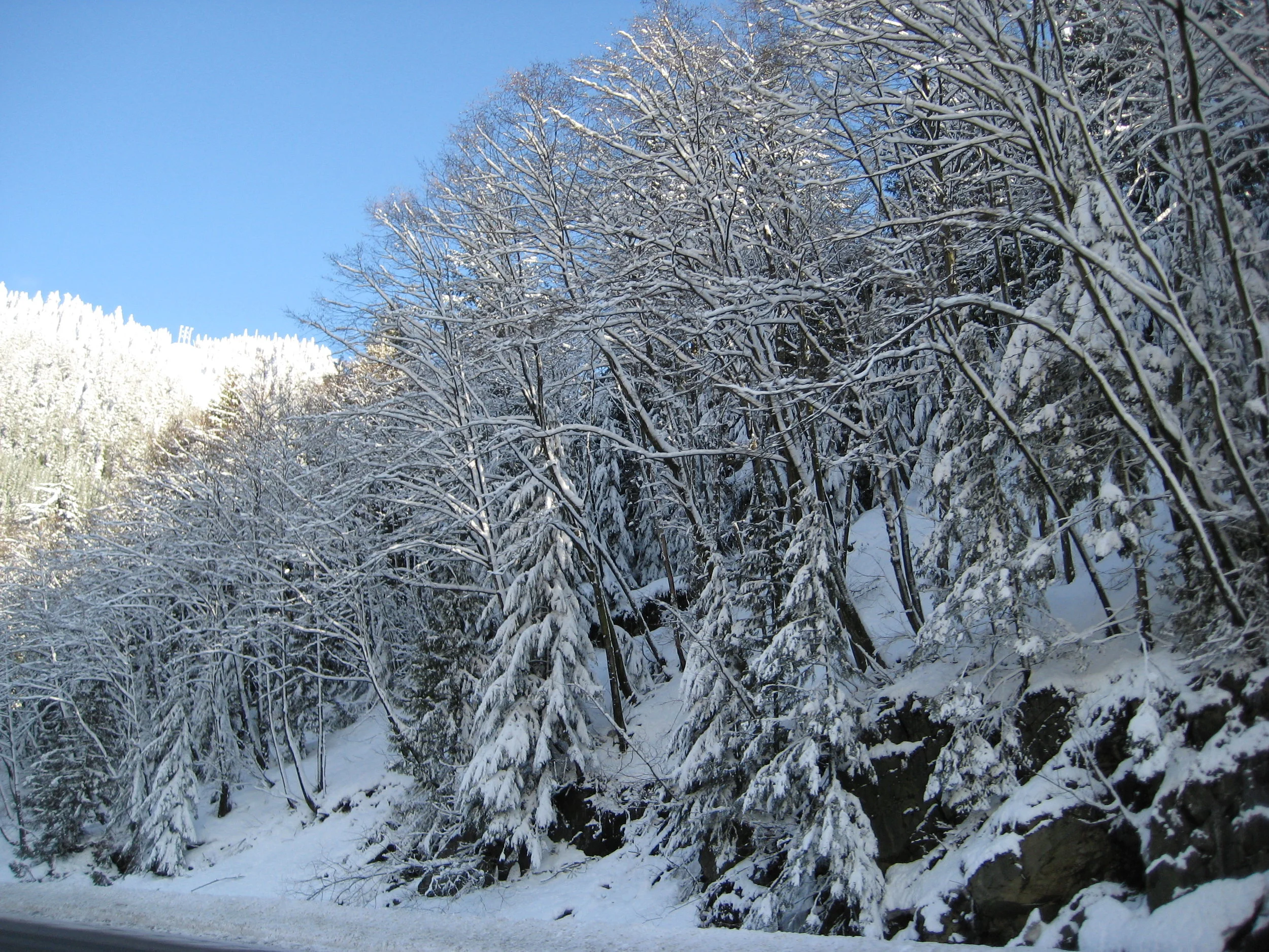
Denver looked good in the 7 AM sunshine and I loved walking around exploring it while everyone was asleep. We explored the capitol area on foot for about an hour and then took off west toward the Rockies. After a fuel stop just outside of Denver, we made our way to Georgetown and found the road conditions ahead ominous at best. We started the climb towards the Vail Pass and it was mountain blizzard conditions with cars in the ditch and zero visibility. It was a white knuckle drive all the way through the higher elevations until the western slope. After breaking to catch our breath and relax our tense bodies, we carried on towards Utah. We stopped at our favorite rest stop, as seen in part one, and carried on down to Arches. Site number 18 is where we setup and endured the 11 degree (with windchill) evening of camping. No regrets.
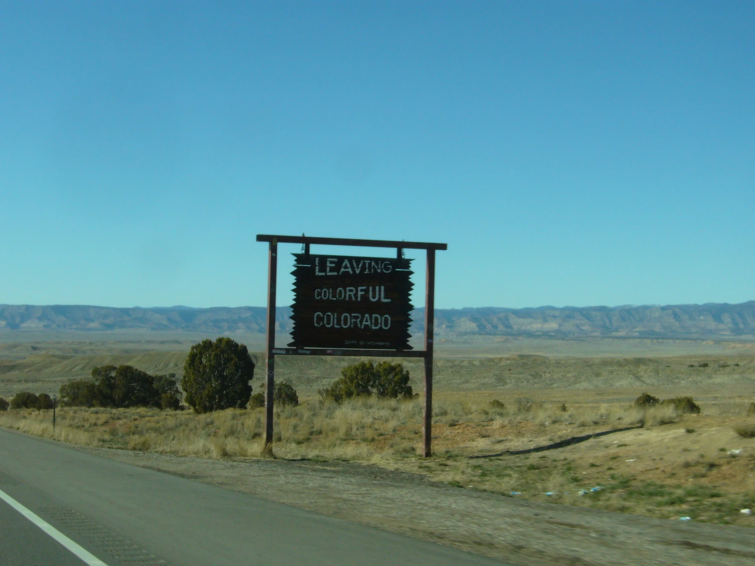
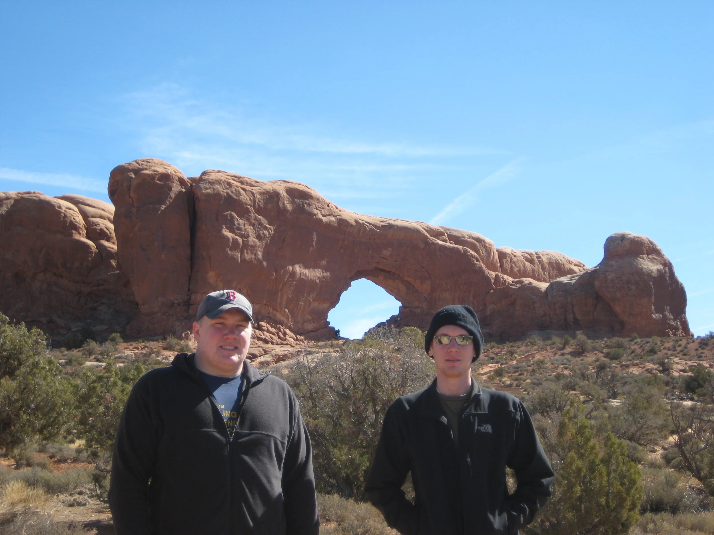
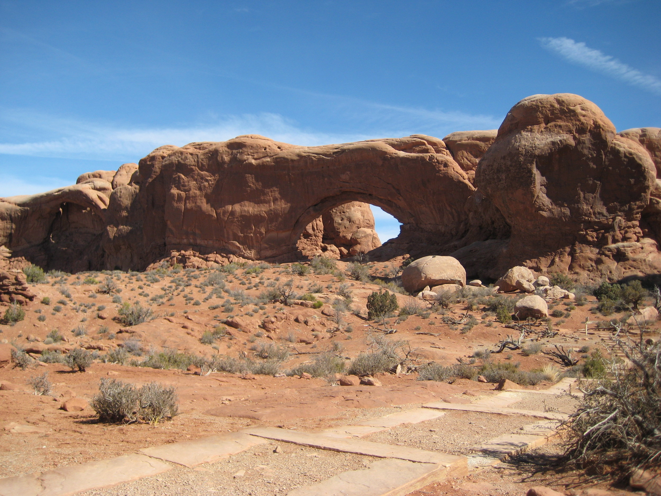
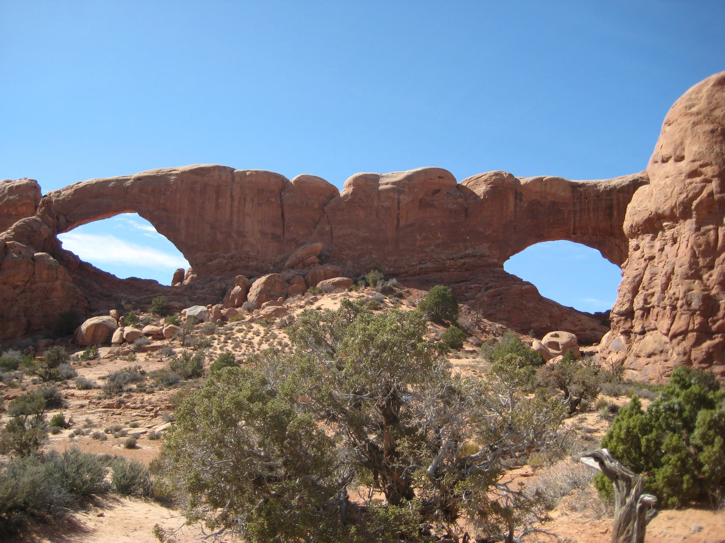
ARCHES TO EUREKA, CALIFORNIA
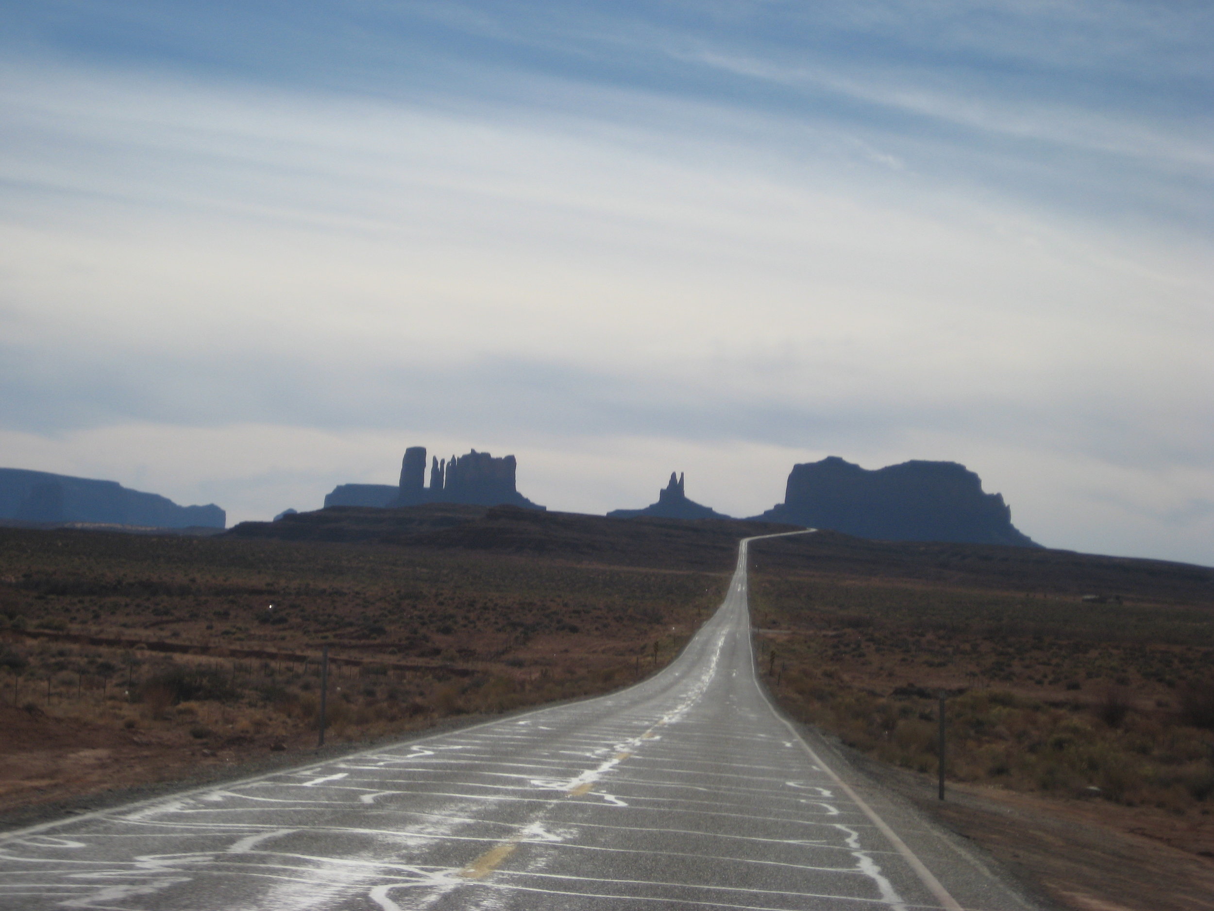
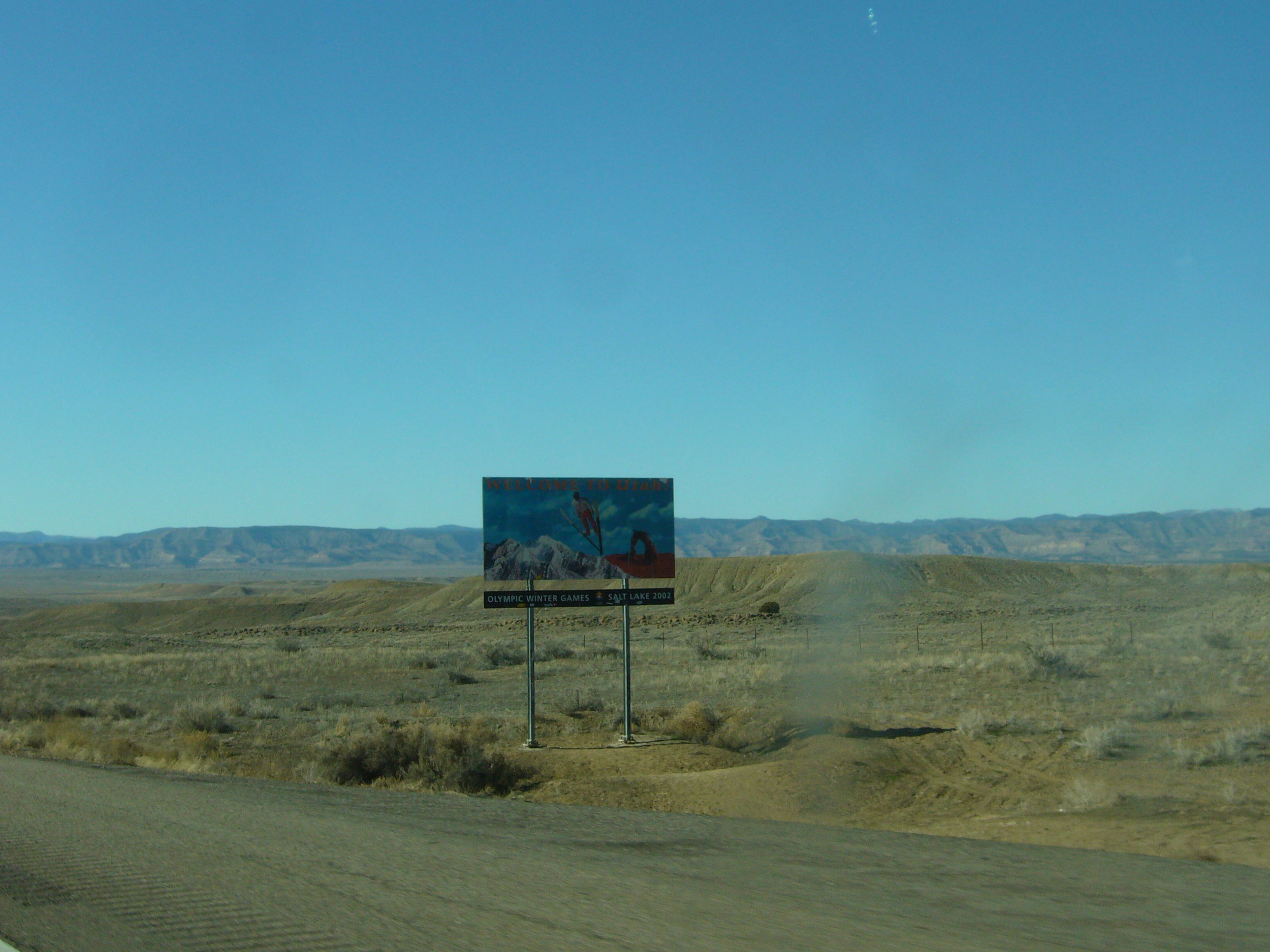
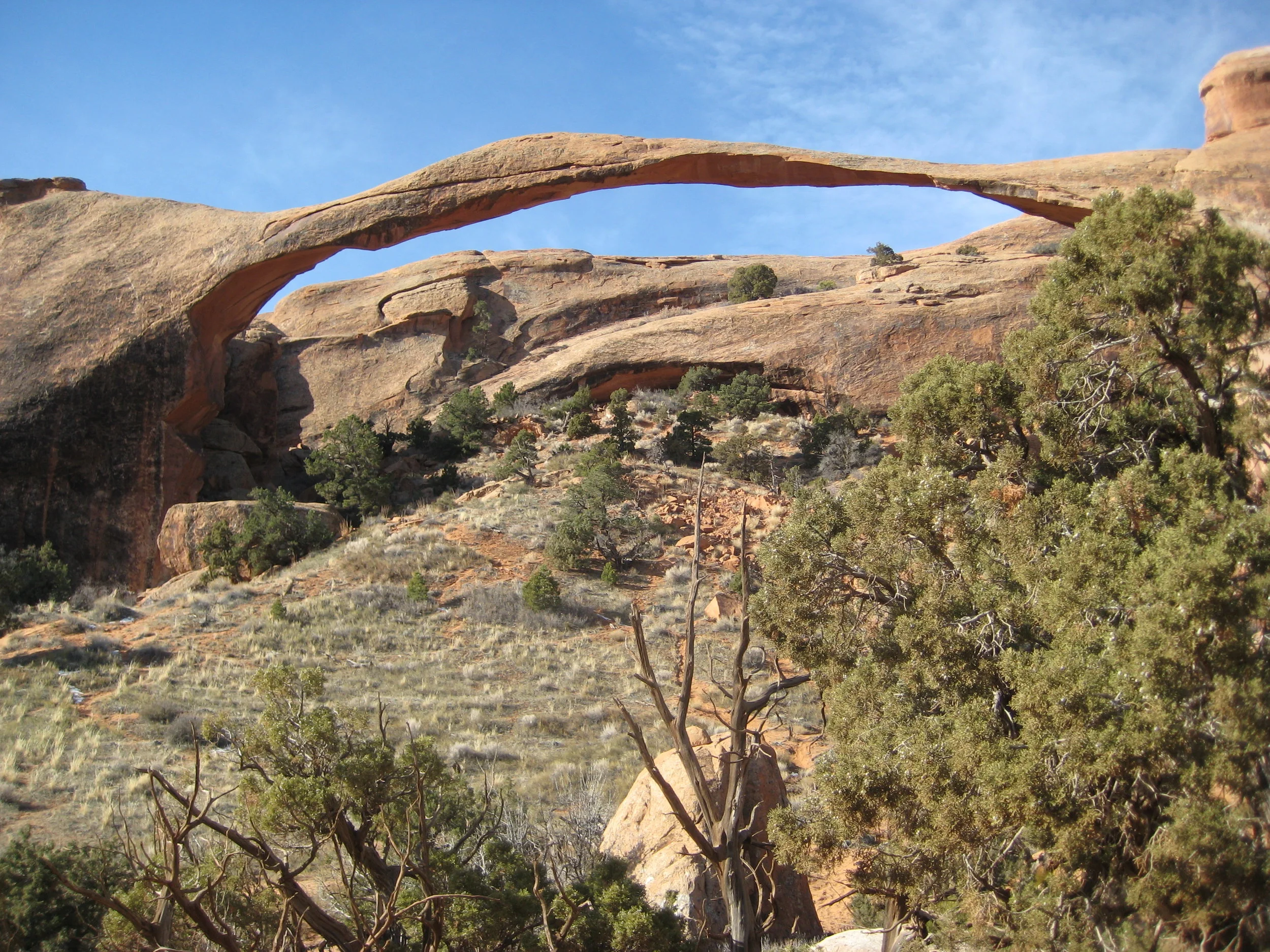
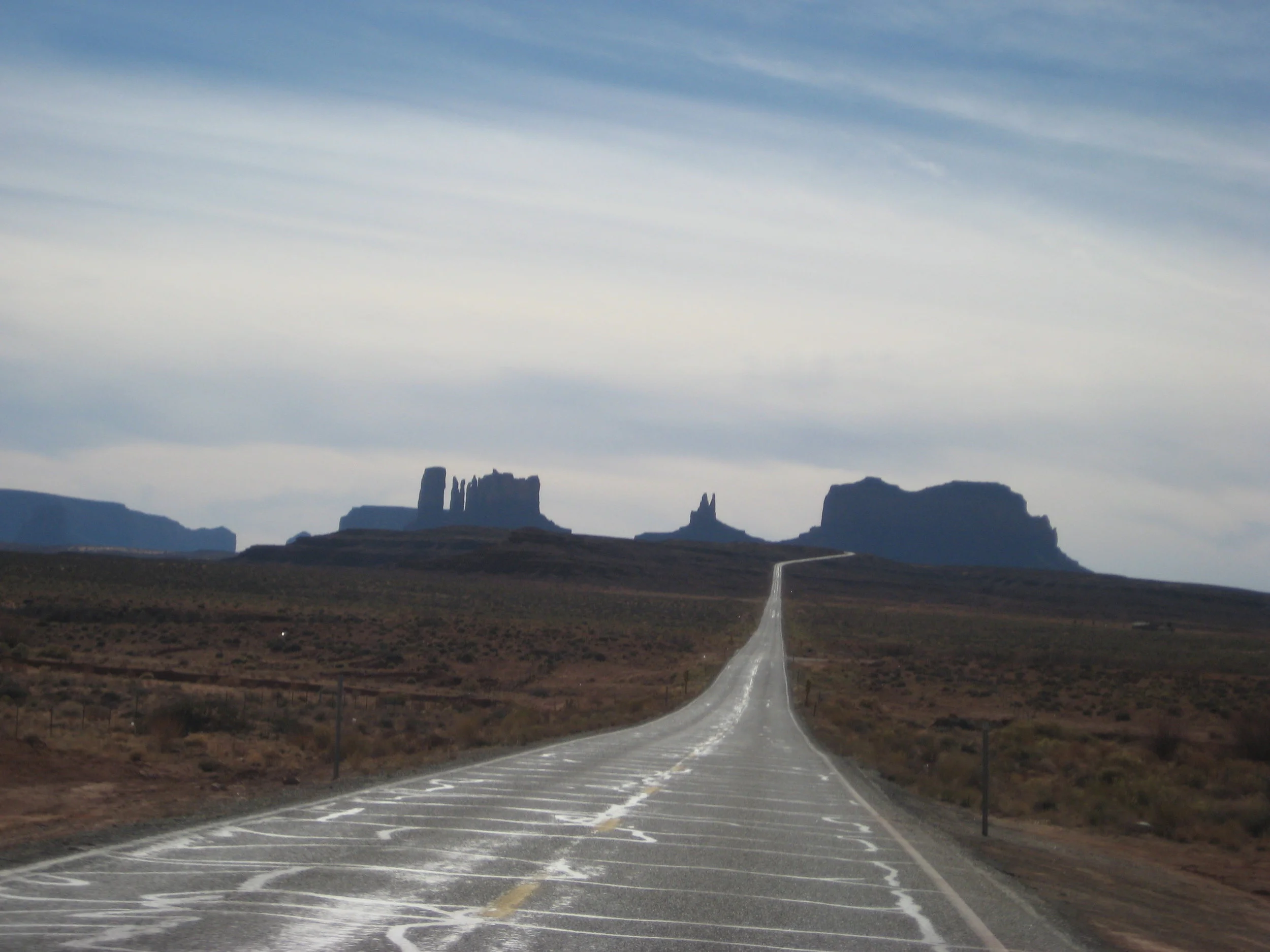
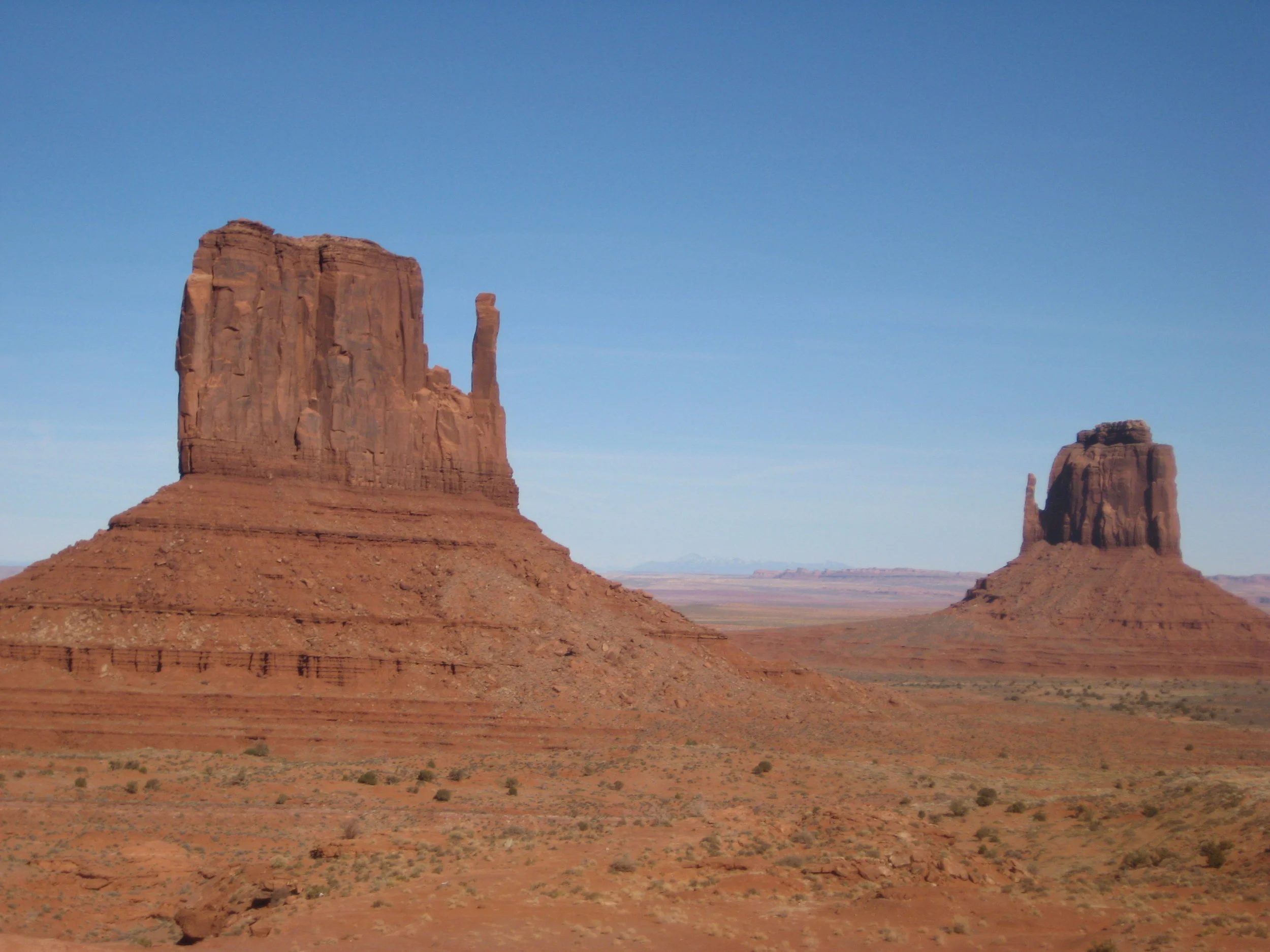
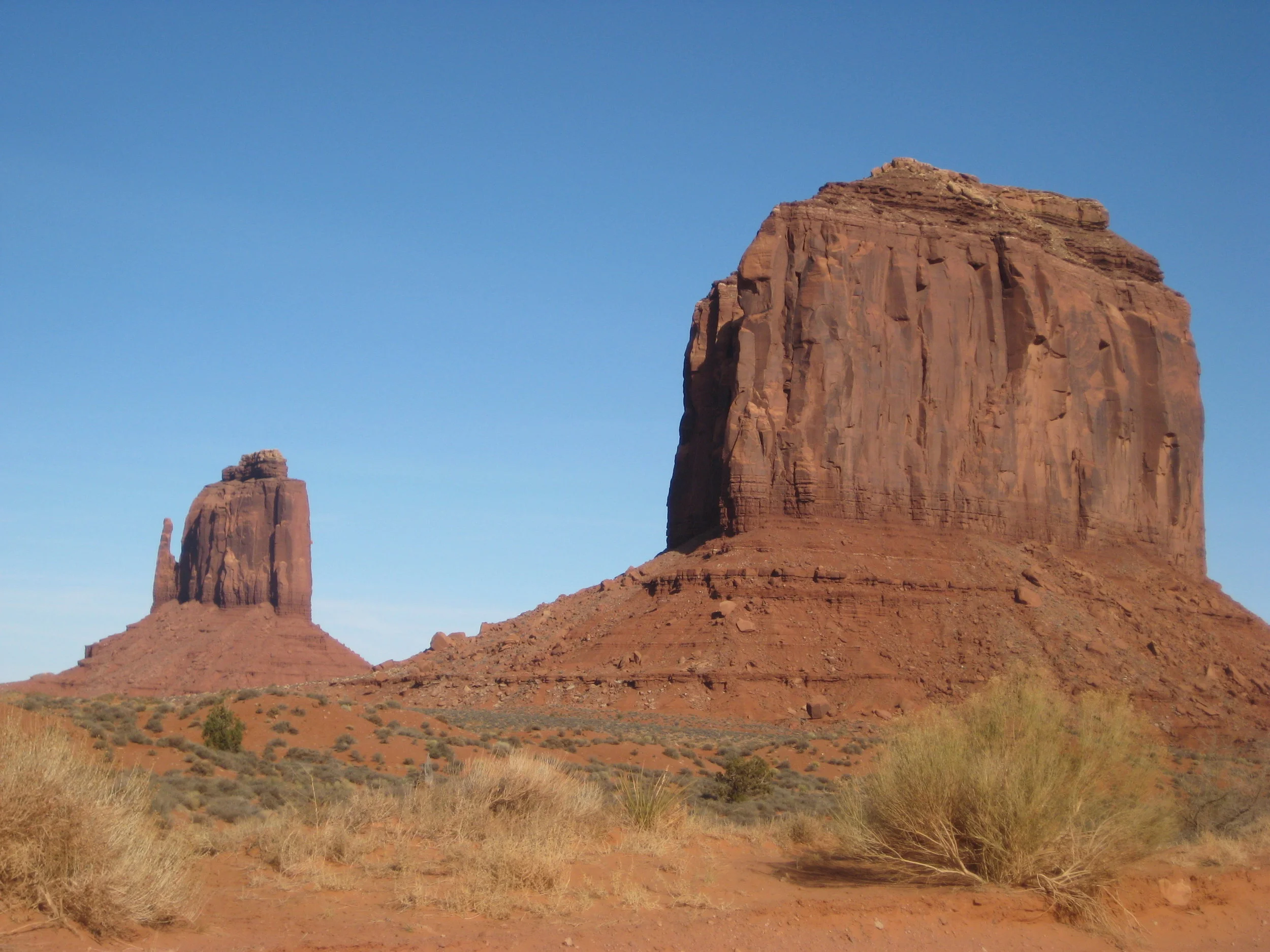
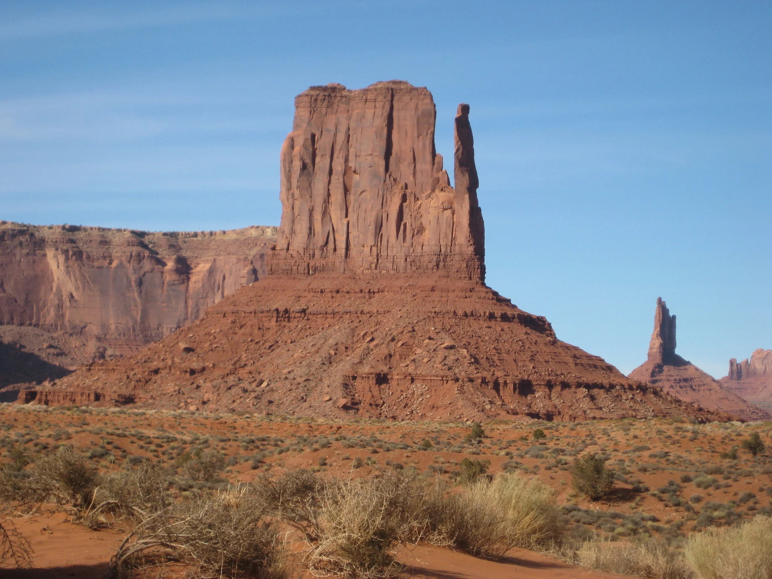
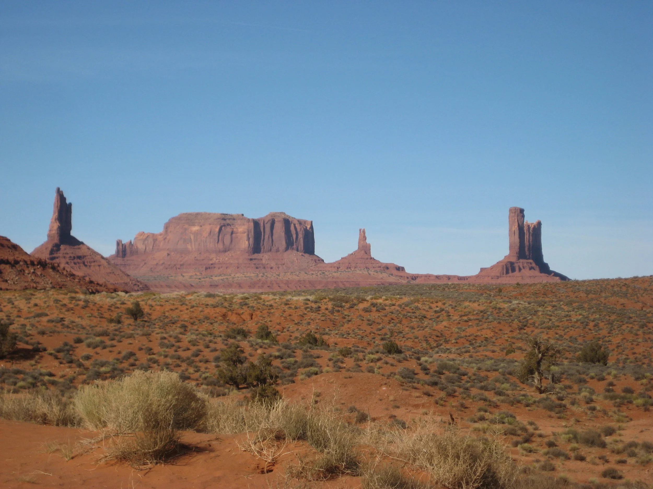
After a very cold night of camping, we packed up the gear and headed to the Devil’s Garden to start our day of exploring. We hiked to Landscape Arch with side hikes to Pine Tree and Tunnel Arches. From there, we made our way down to Skyline Arch and then to Sand Dune Arch. We visited the Windows Arches and Turret Arch and decided to leave and head south toward Monument Valley to get there before dark. We entered the Monument Valley Navajo Tribal Park about 3 PM and made our way through via the bumpy, red dirt road. It was a spectacular drive with iconic views, unspoiled by development. Monument Valley was just as it appears on postcards - a treasure in the west. From the park we were headed to Nevada and decided that we needed dinner but were in the middle of nowhere so we made rice and beans at a rest stop and it was pretty much the best meal ever. Our goal was to get as close to the Loneliest Road in American as we could, so we opted for a cheap hotel in Cedar City, Utah for the night. Only one of us went in to get the room because the rate specified single person occupancy, so we were sneaky. Shady, but efficient.
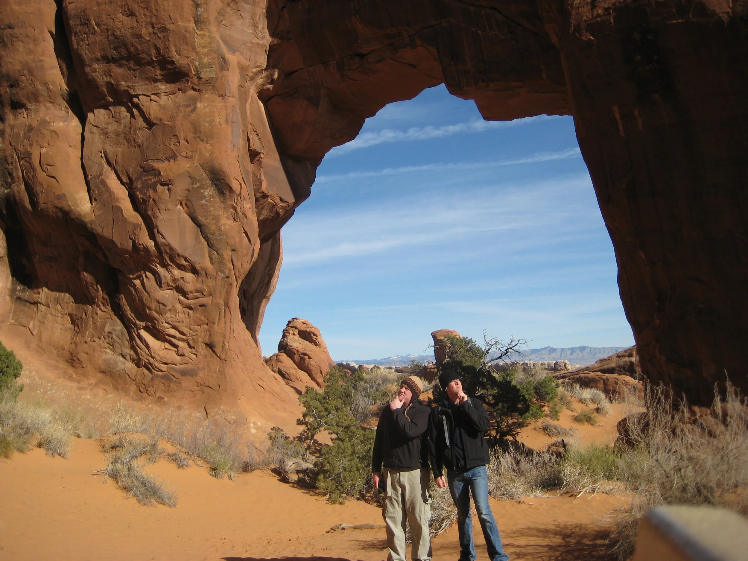
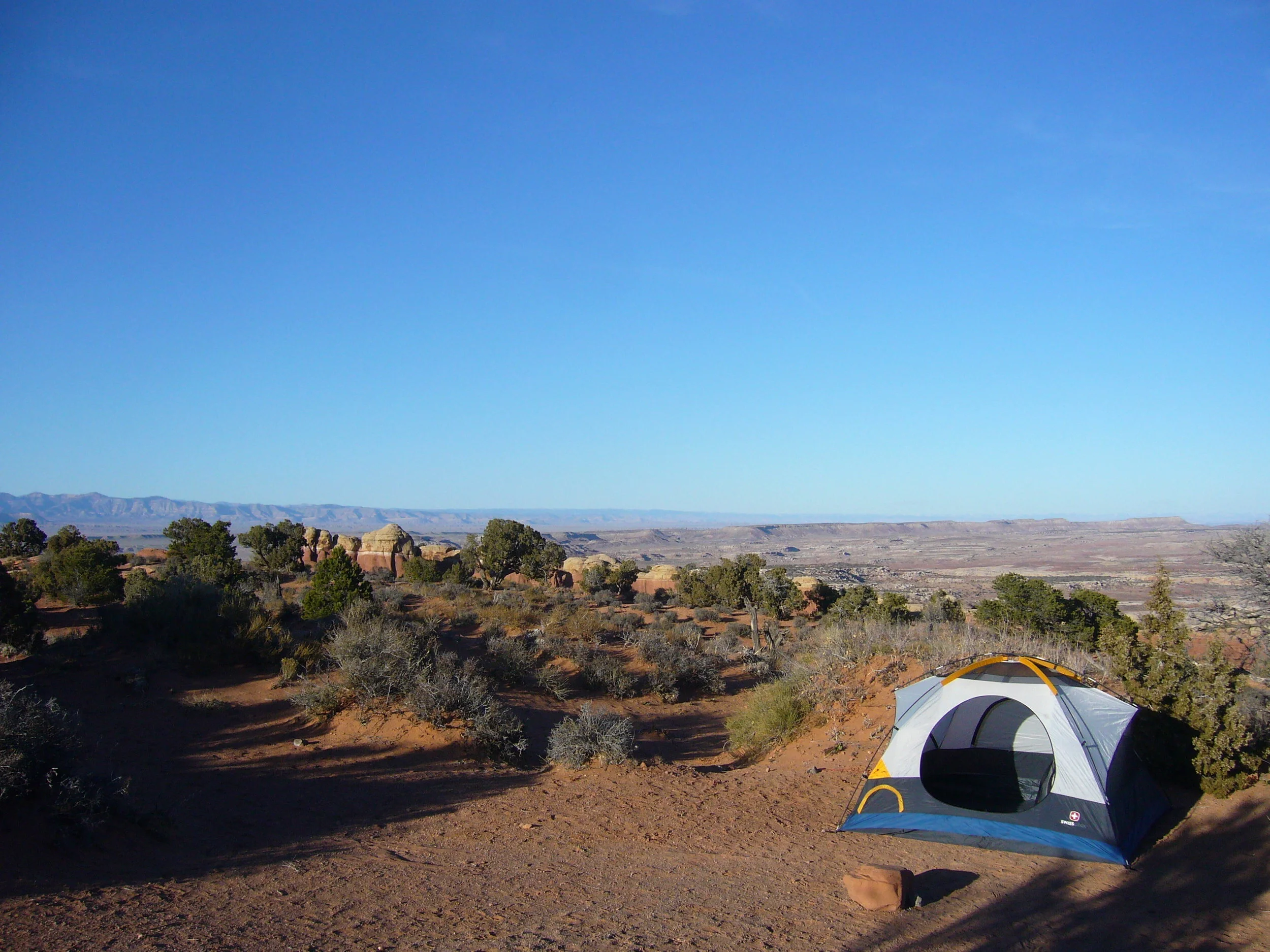

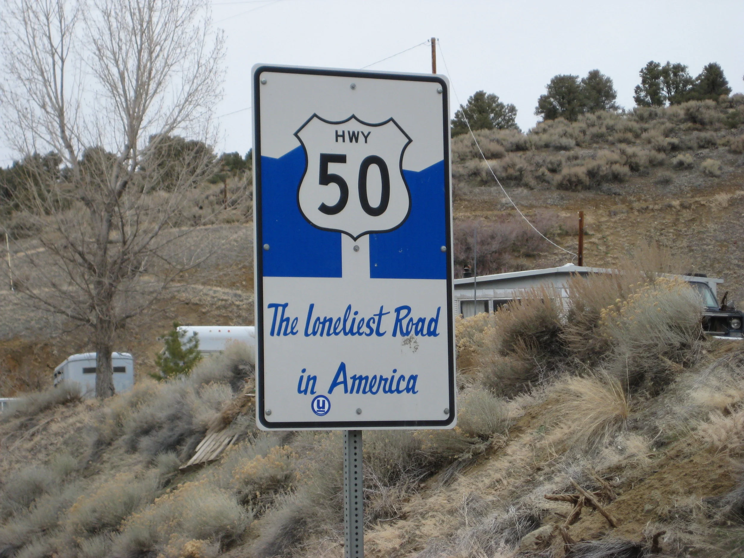
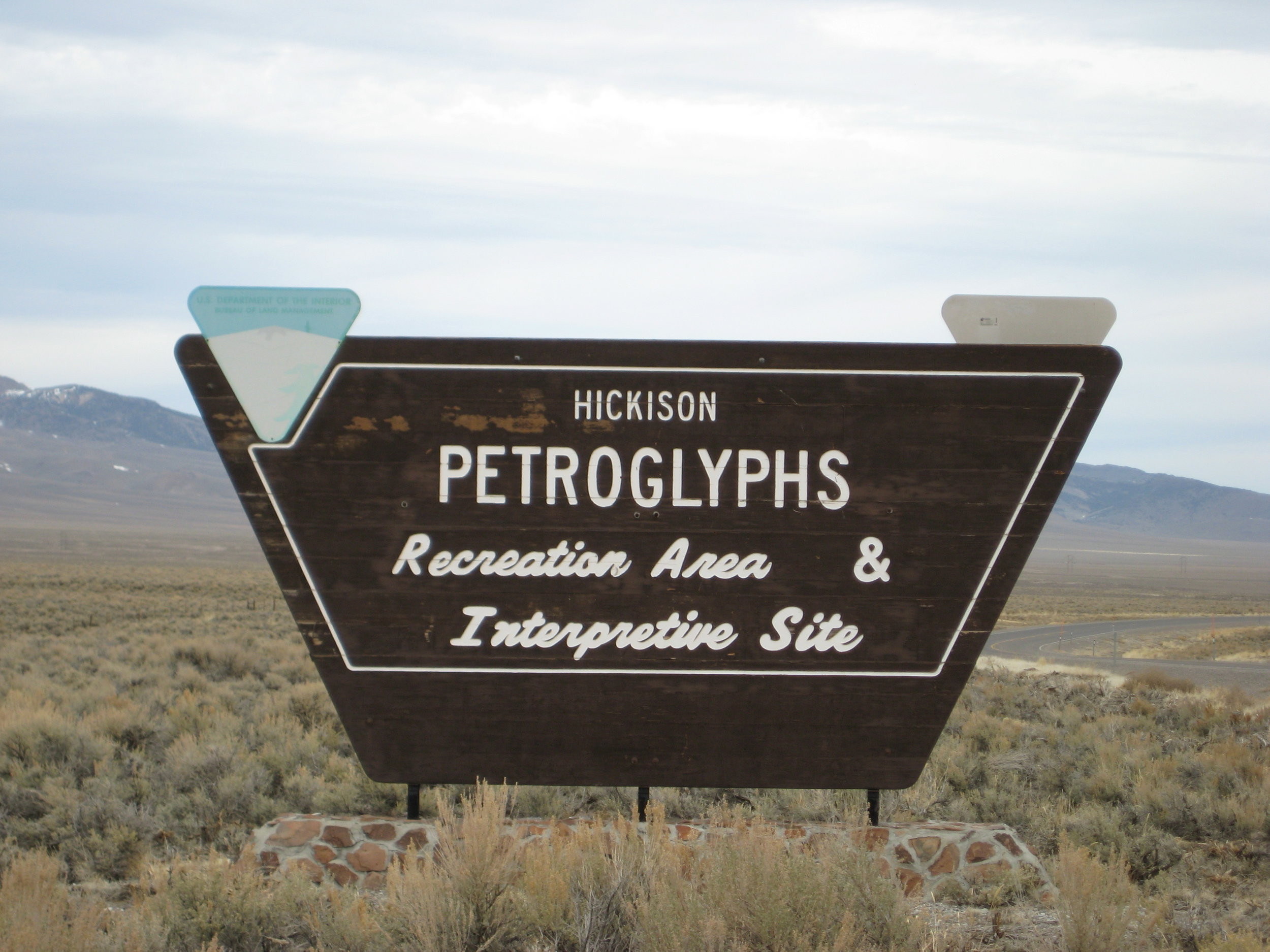
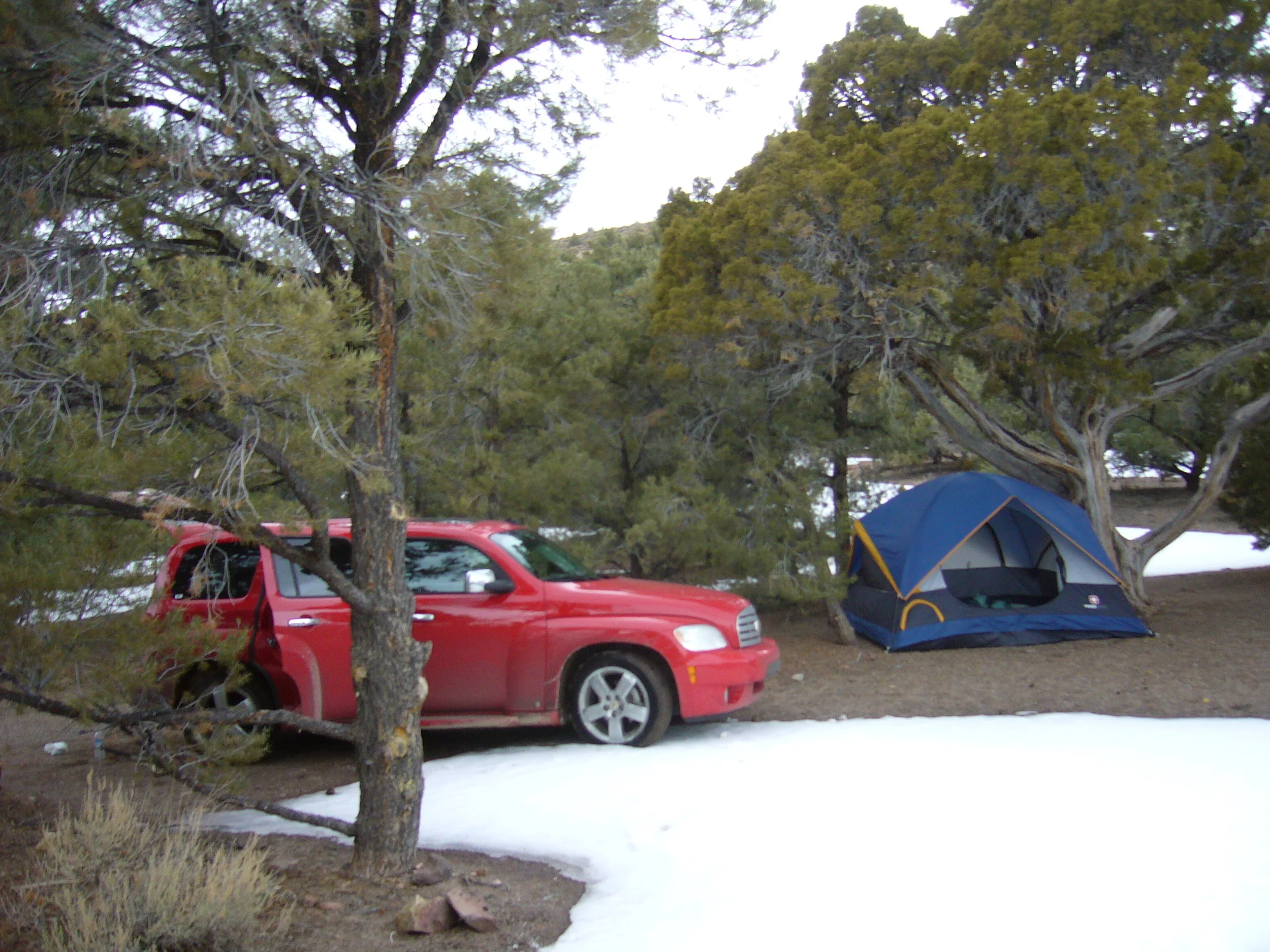
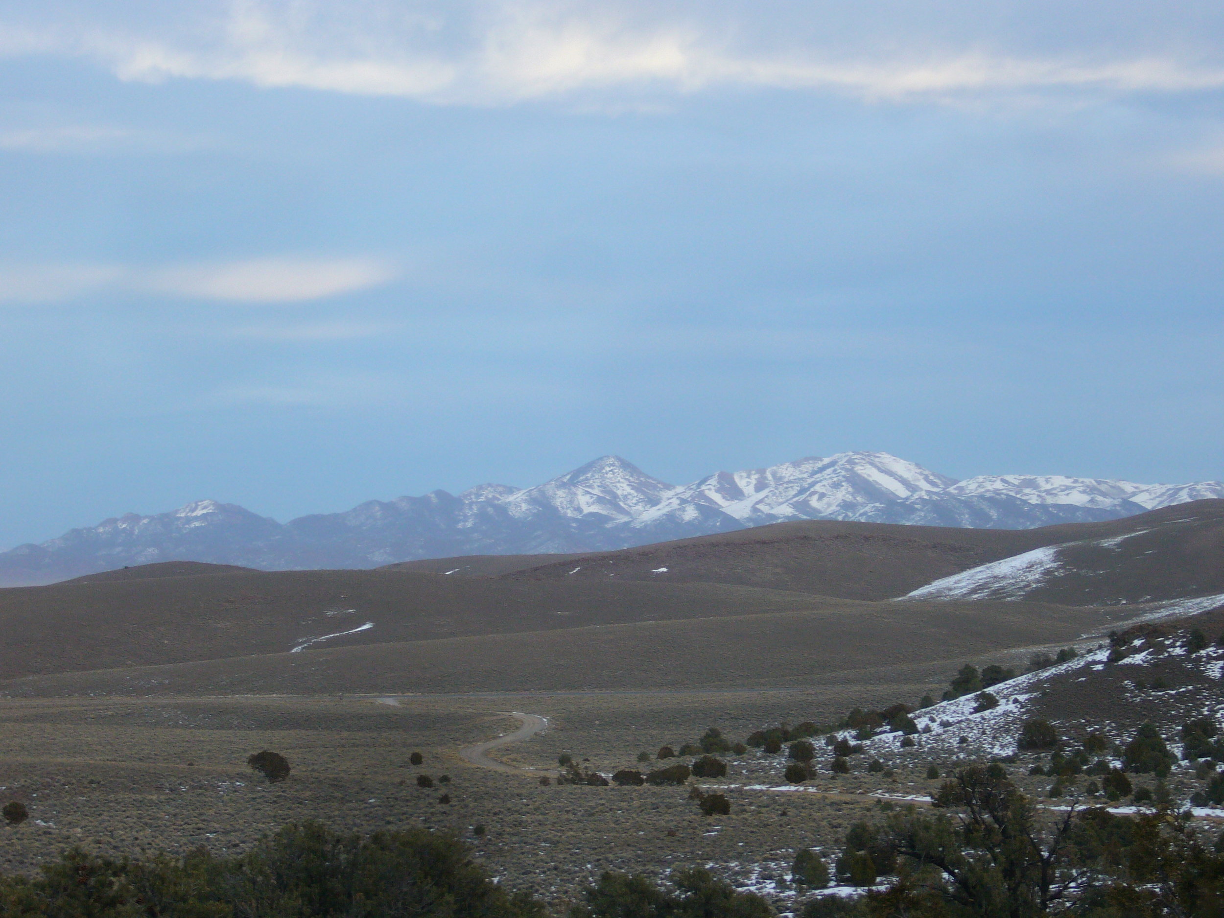
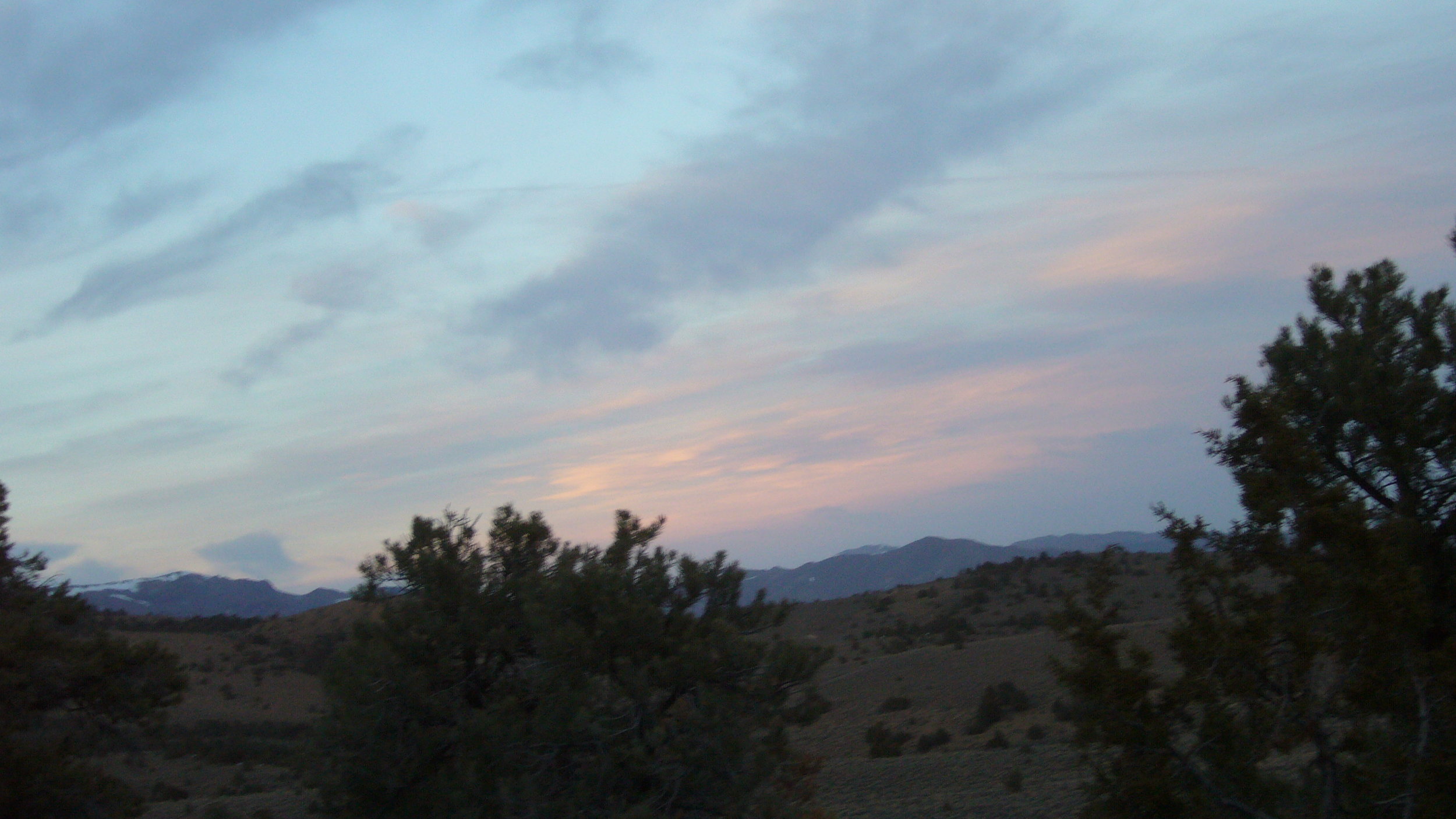
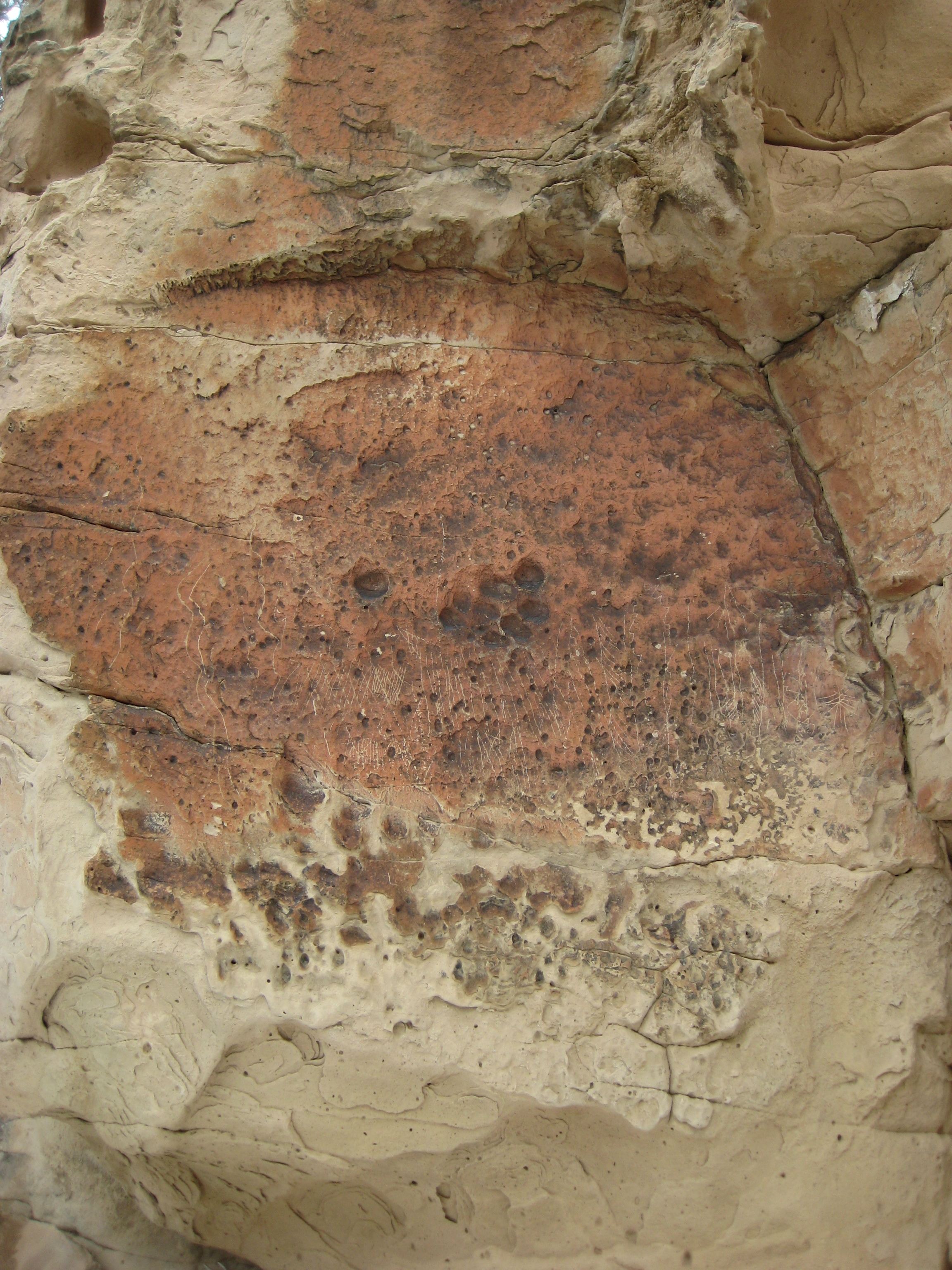
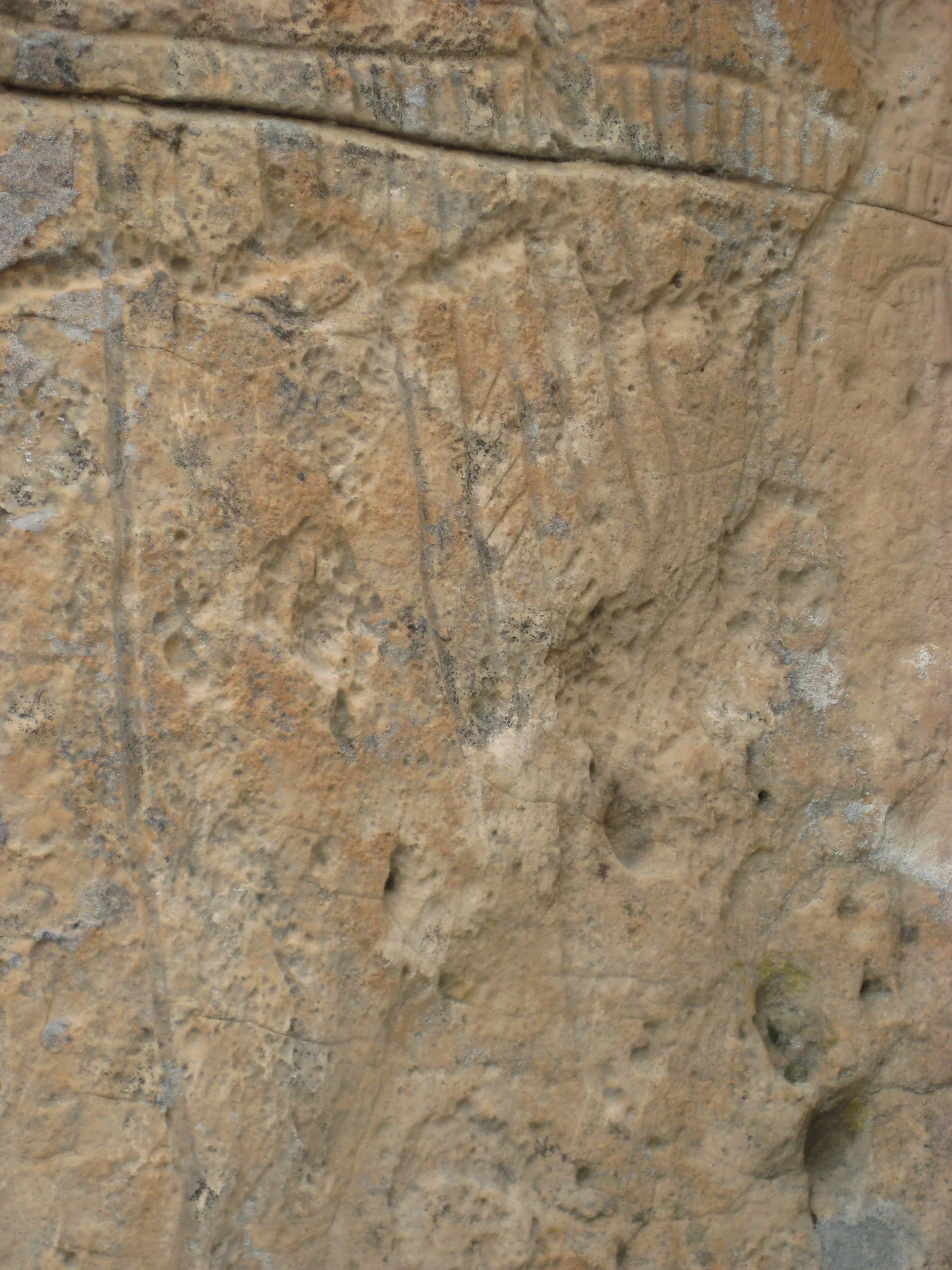
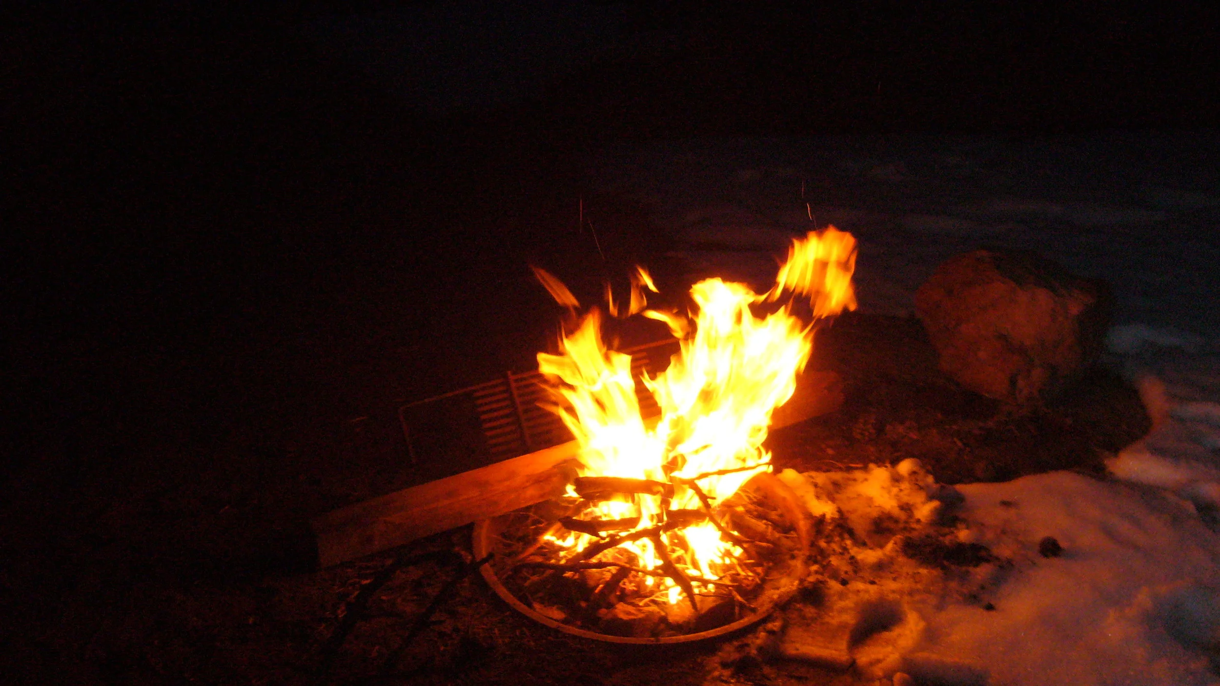
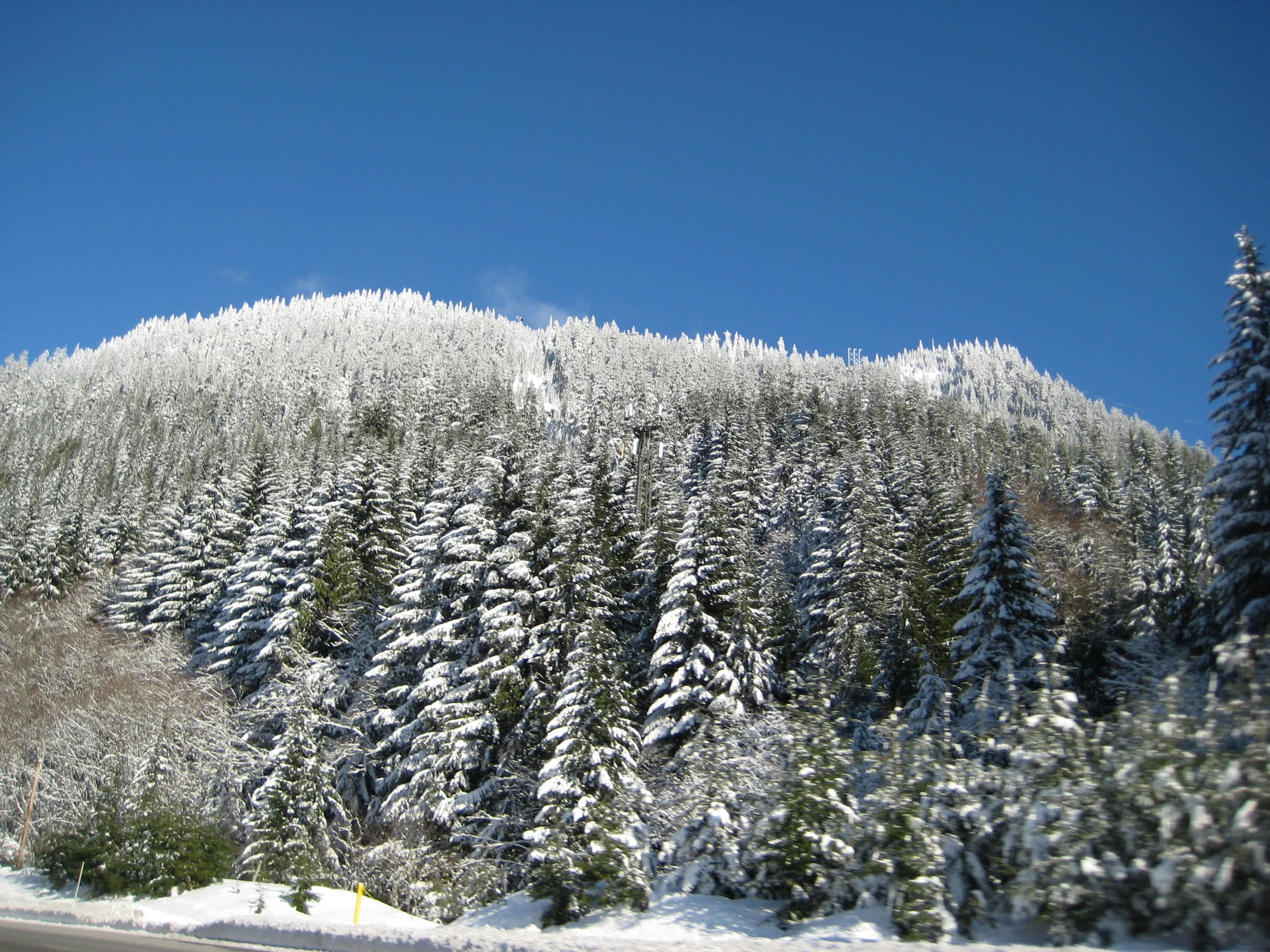
After a good night of sleep and a shower, we sneaked out of the hotel and headed to a quick stop at an old BLM quarry dump to check out some rocks for Kevin who majored in geology. We found muscovite, quartz, azurite, and malachite. I like rocks too, just not as much as Kevin, but the stop was pretty interesting overall. The whole vibe of the area was creepy, and it did not get much better as we entered Nevada. There were birds of prey gliding through the air and crows all over the road as we approached what appeared to be lifeless town after lifeless town under a gray sky. The cows in Nevada were not very happy, which was fitting for the mood, and it made us feel bad for them because last year we saw how happy cows can be out in California. We were looking for a place to set up camp for the evening and eventually found camping at Hickison Petroglyph Recreation Area - a BLM campground about 15 miles east of Austin, Nevada. The place was empty so we had our choice of sites and chose one on a slight incline to set up camp. Snow blanketed parts of the campground, mostly around the bushes (trees) which was almost everywhere, so we were a little concerned with snow melt or rain as we hadn’t checked the weather in a little while. The tent was set up, snacks were had, and we decided to explore this little park. We found the petroglyphs, hiked around, and climbed some rocks to get a better view of the Loneliest Road. We watched one car come from miles away and it turned out to be an emergency vehicle which eventually approached and sped by. Not a person in sight for miles, in all directions, meant this was true to the name of Loneliest Road in America. It was a weird feeling being the only two people in an area that you can actually verify by sight from up on a rock ridge. We built a fire, enjoyed a few beers, and watched the stars come out since the sky partially cleared. It got cold and stayed quiet all night, which was perfect sleeping weather.
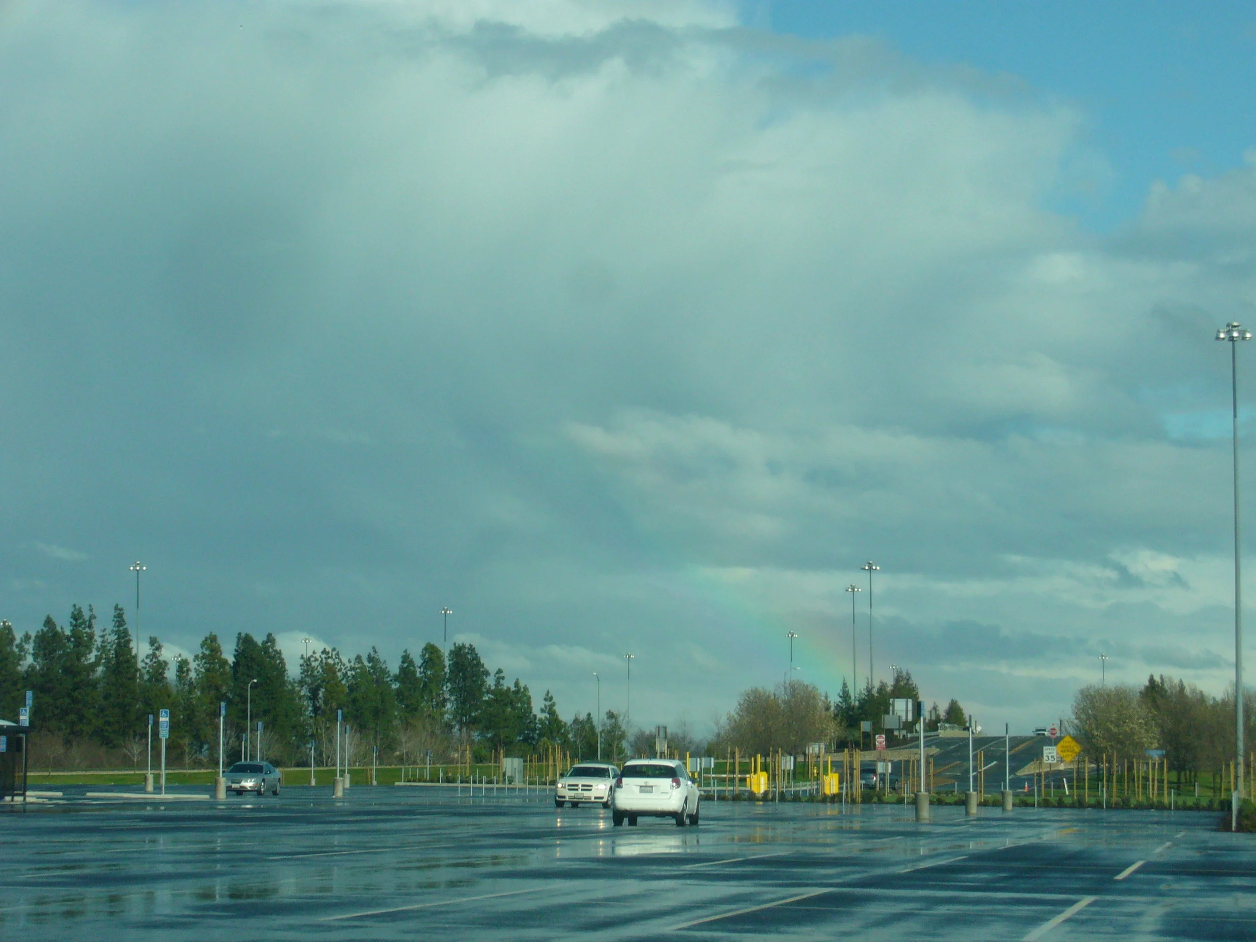
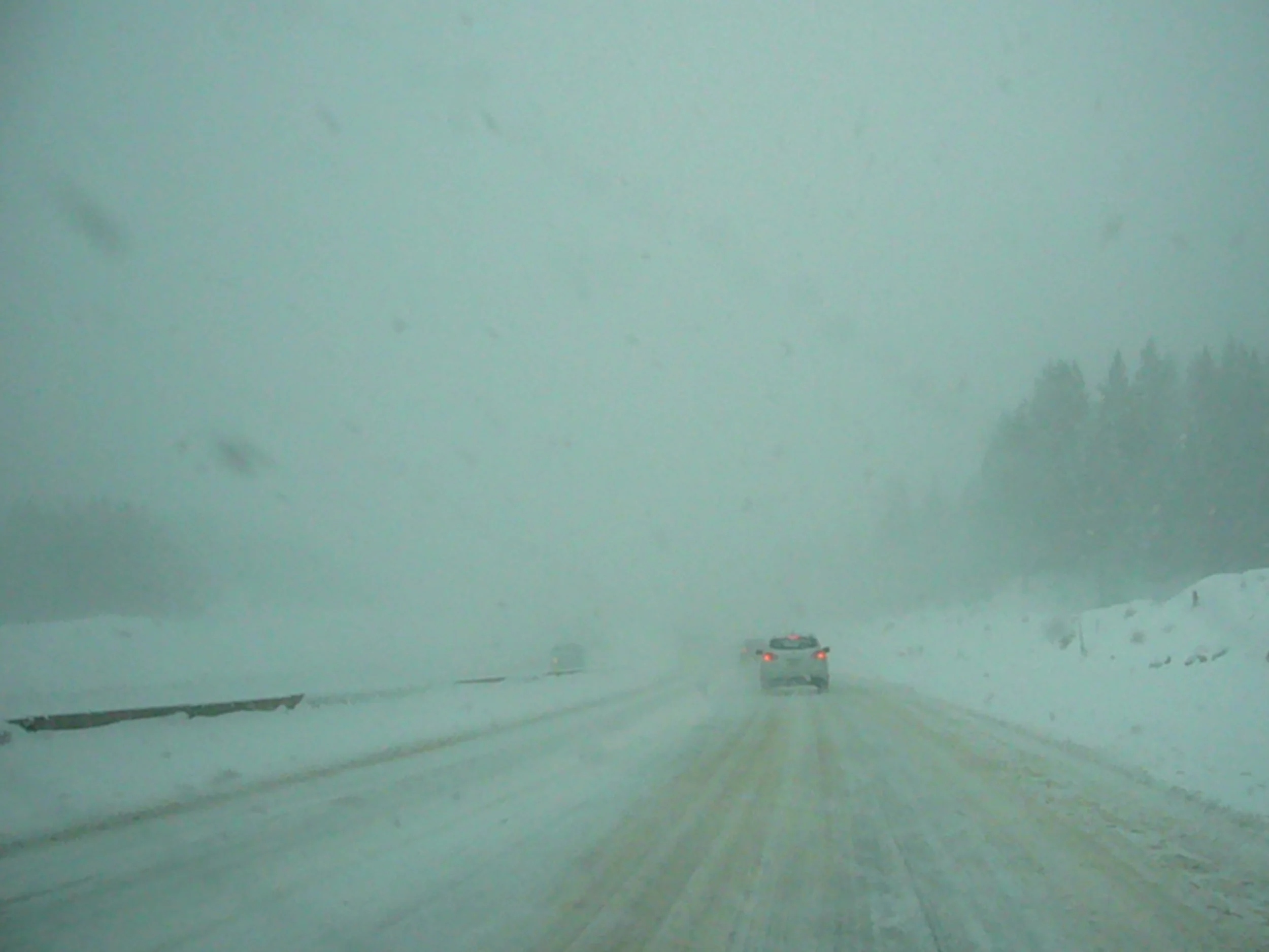
It was finally the day we have to trek to Sacramento to scoop up Molly on our way to Eureka, California. Camp was packed up and we were on the road around 8 AM, headed west. The sky had become dark gray and was spilling moisture. The rain got heavier the further west we got, and by Reno it had been steady. As we drove through Reno and up into the mountains it switched from rain to snow and was becoming a Colorado situation all over again. These mountains had bigger trees, but were equally slick with slush and snow. We saw people putting chains on their car, but we definitely didn't have those. Eventually, with white knuckles and Michigan winter driving skills, we made it through the mountain pass and carried on towards Sacramento. Once at the airport, a little early I might add, we learned Molly’s plane was delayed over an hour. It was decided we’d just sit in the parking lot and chill until she landed. I remember Kevin messing around with the HHR, doing things like burning and trying to do donuts on the wet pavement. We were bored and not really wanting to venture into Sacramento so we made our own fun. We were keeping busy and trying to remain positive about the west coast weather, which looked rainy and uncooperative at this point.
Molly arrived around 5pm and we hit I-5 north shortly after. Our destination had been the Best Western in Eureka, the same one from part two last year, so we could swim in that cool pool that was half inside/half outside again. We took I-5 north to Redding and then west on CA-299. It was a wild drive on 299, winding and dark through the mountain rain. We got to the Best Western around midnight and they were full so we had to settle for a Motel 6. As you know, from part one, we were not against Motel 6 hotels, but this one was particularly gross and stinky. We may have indulged in some drinking games and just passed out to avoid feeling anything more about the whole situation. I will say, the Motel 6 really ruined cheap hotels for the rest of the trip, which was okay.
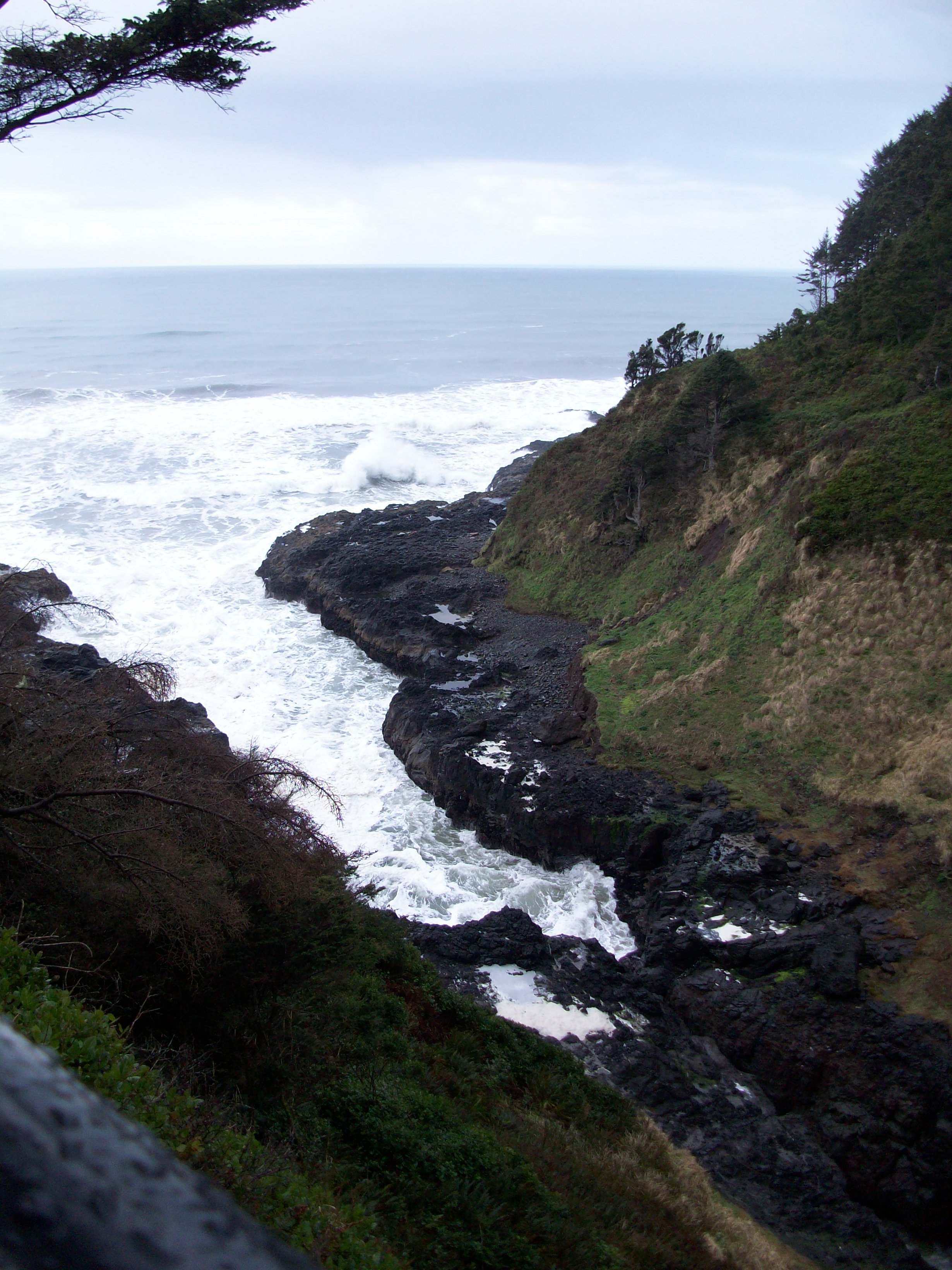
THE PACIFIC NORTHWEST

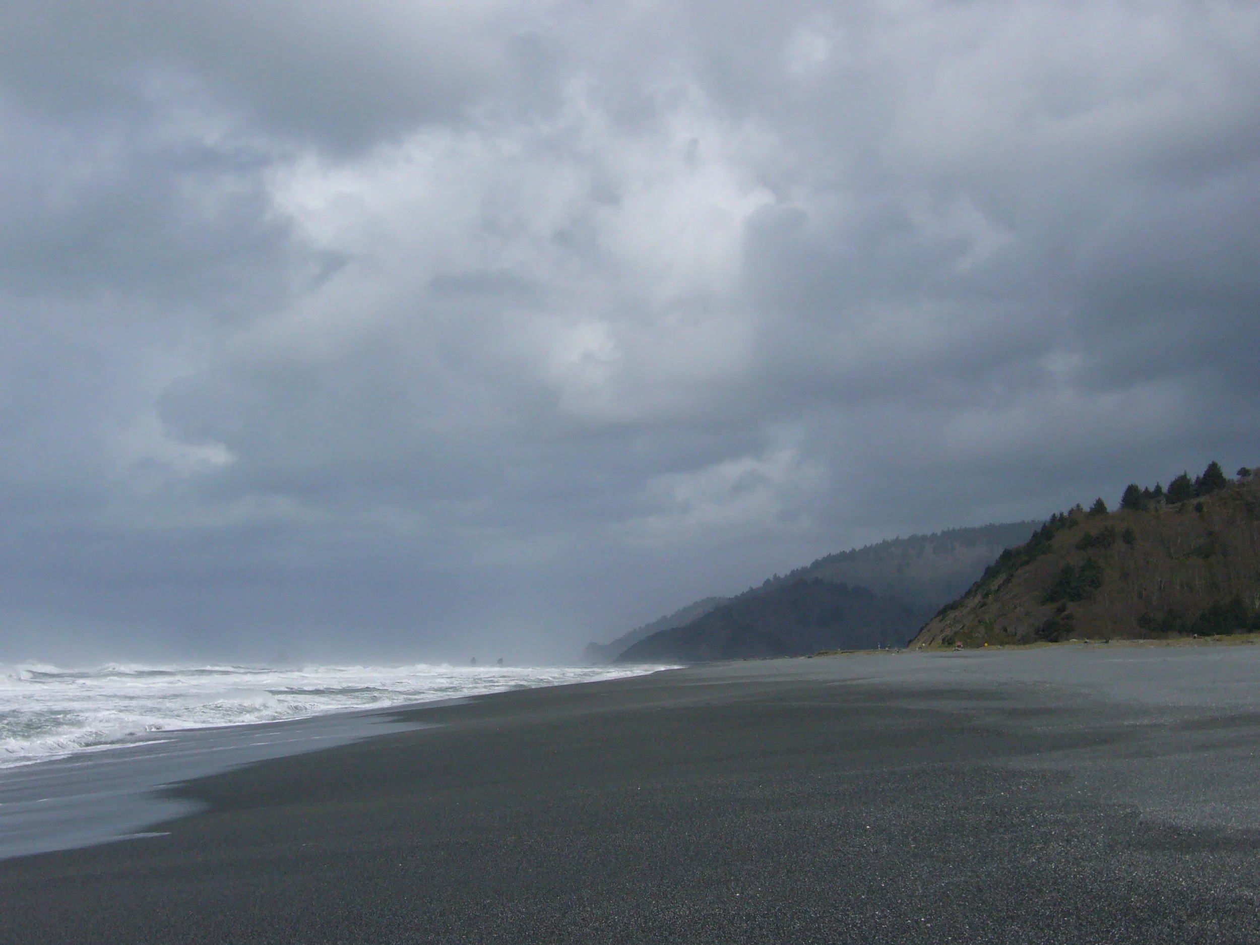
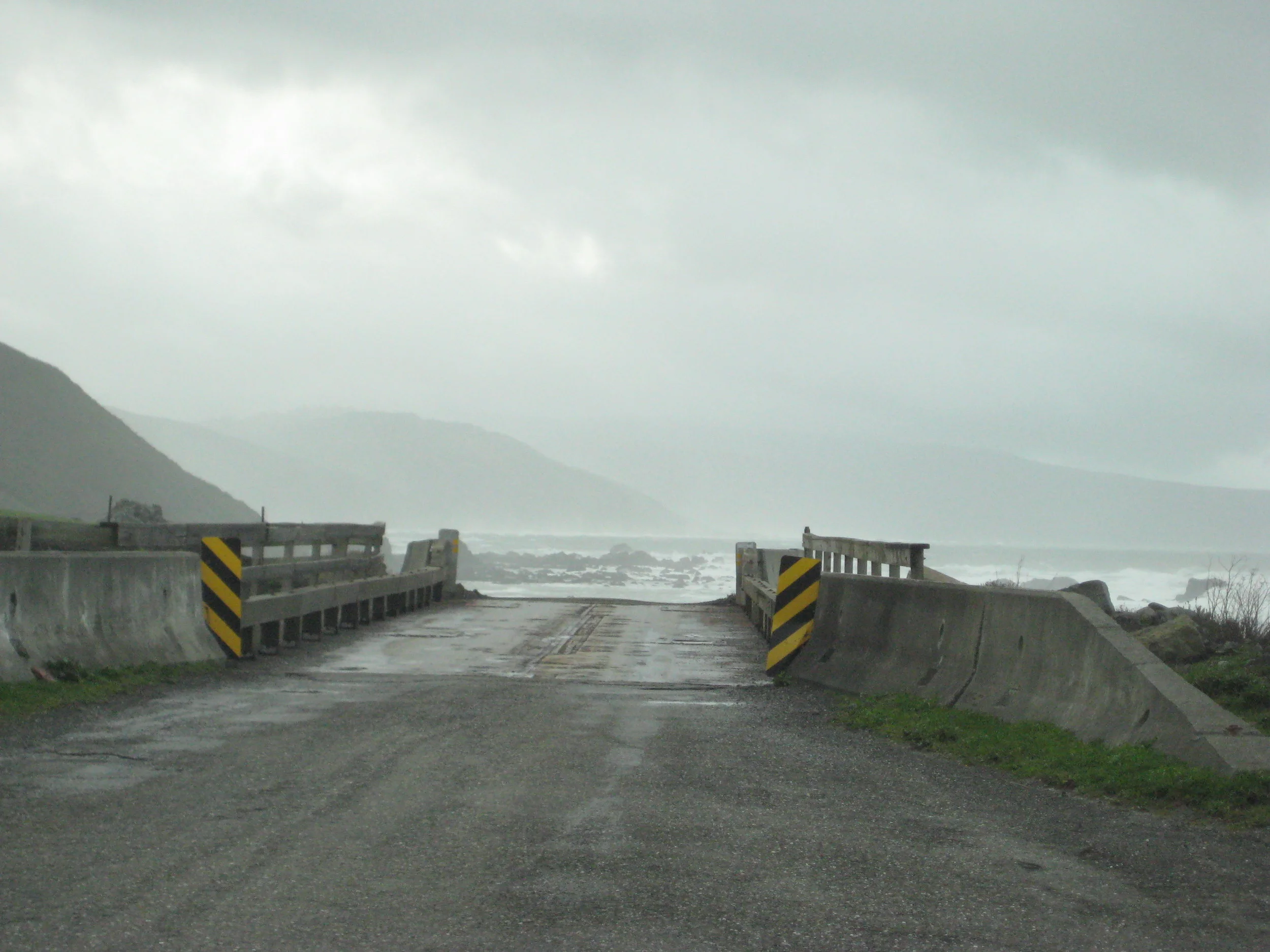
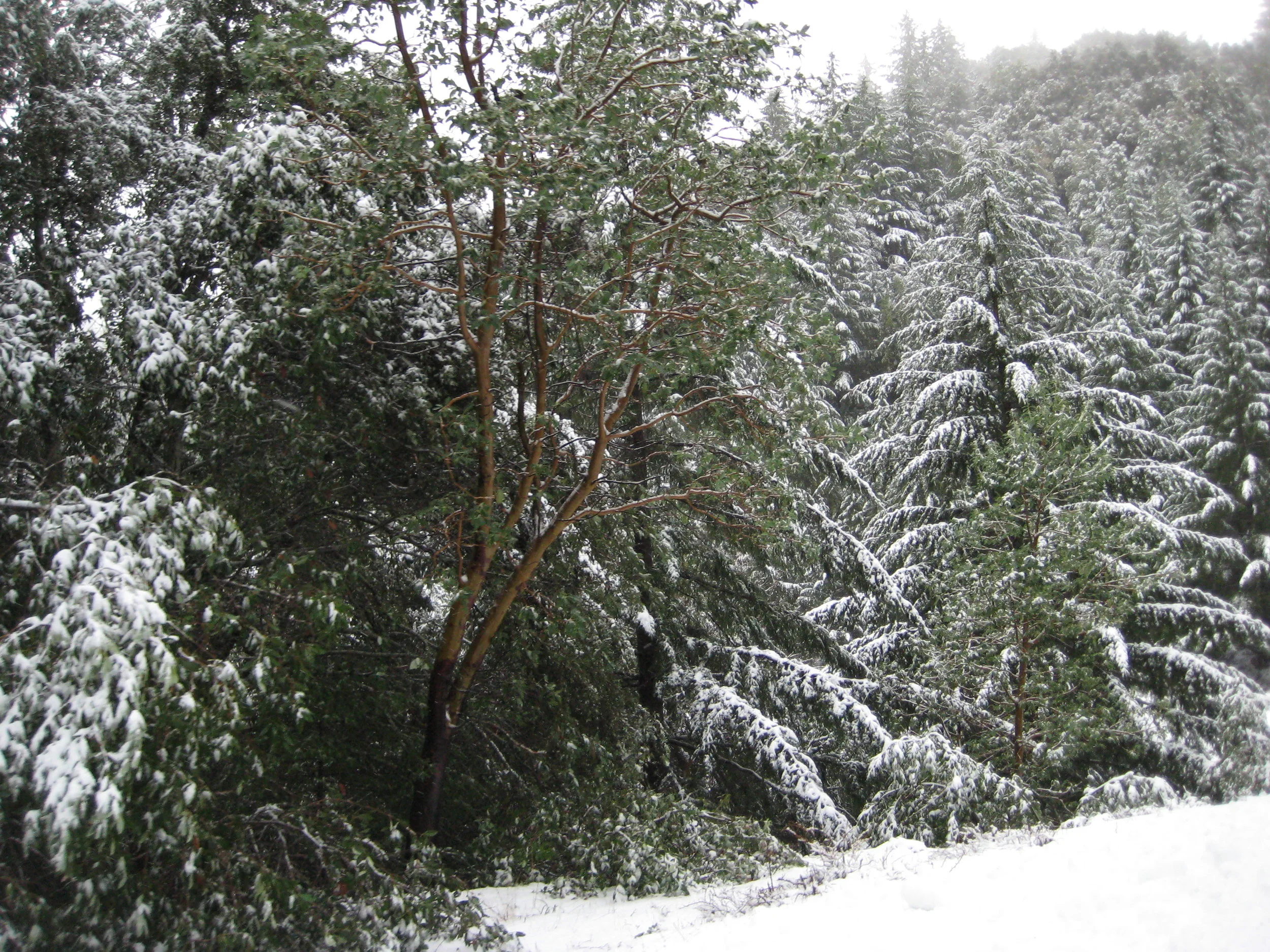
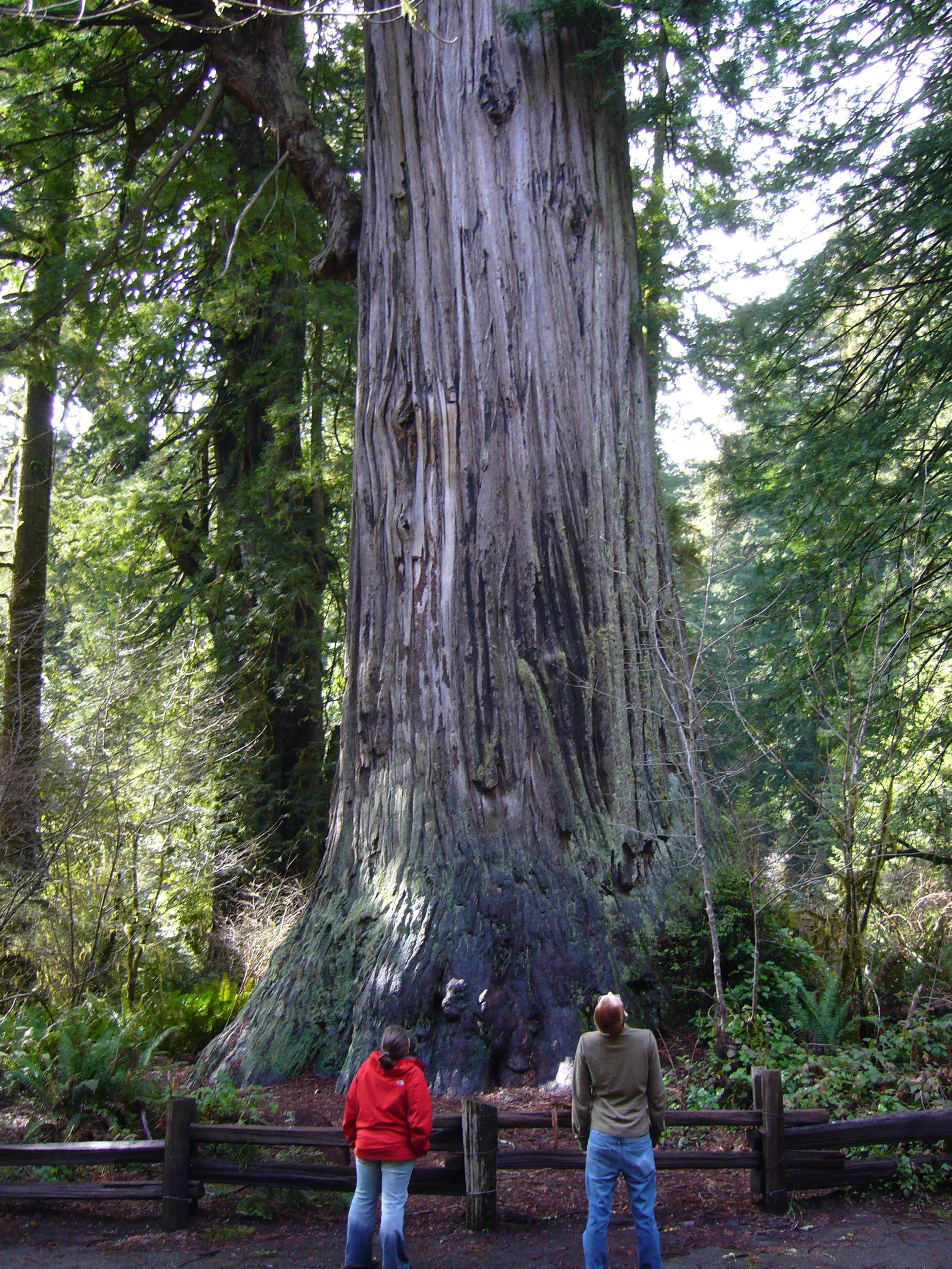
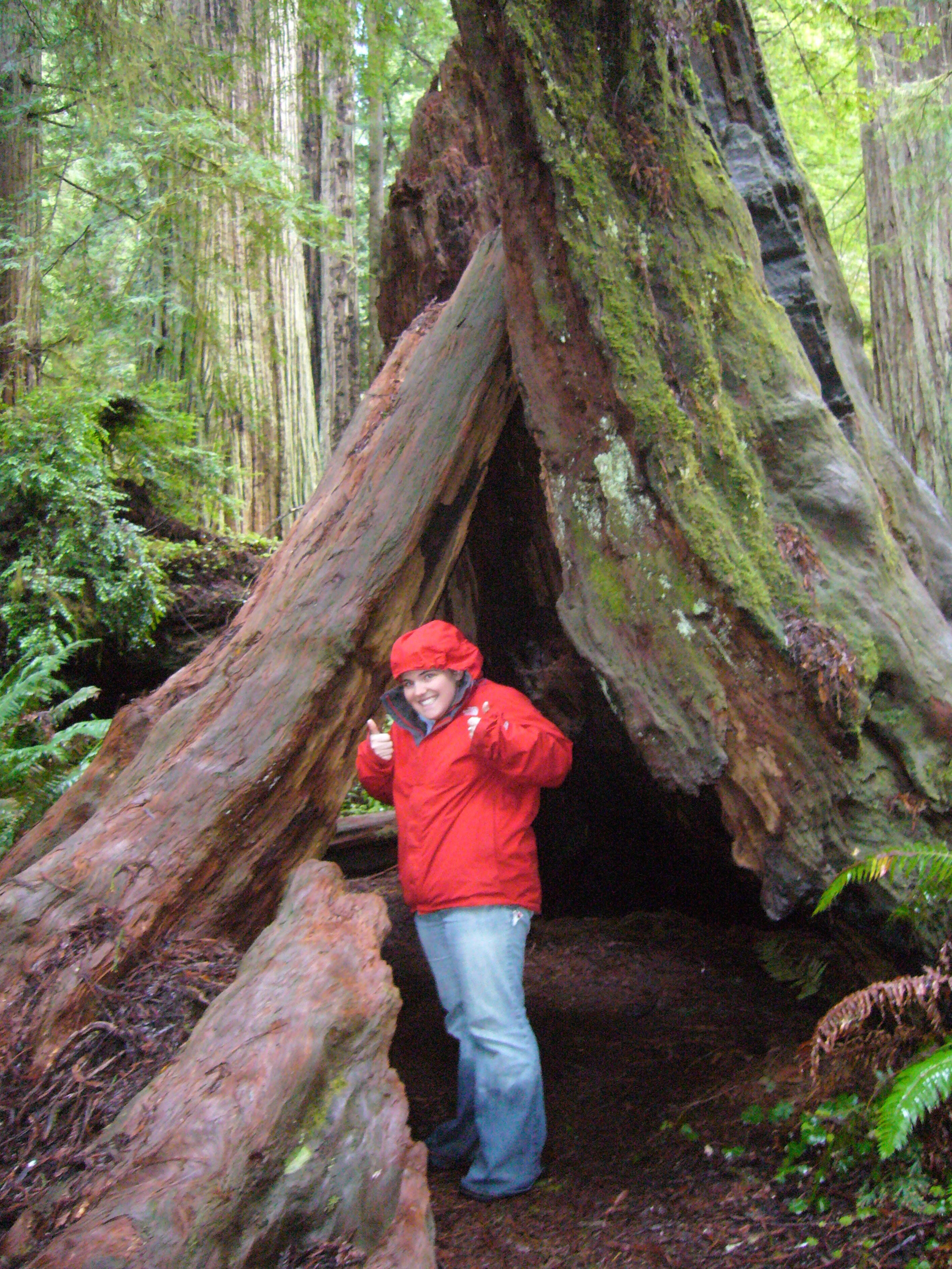
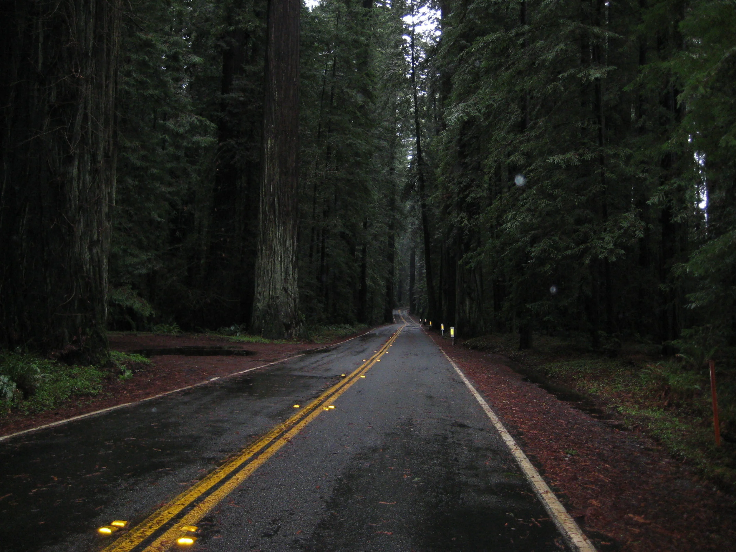
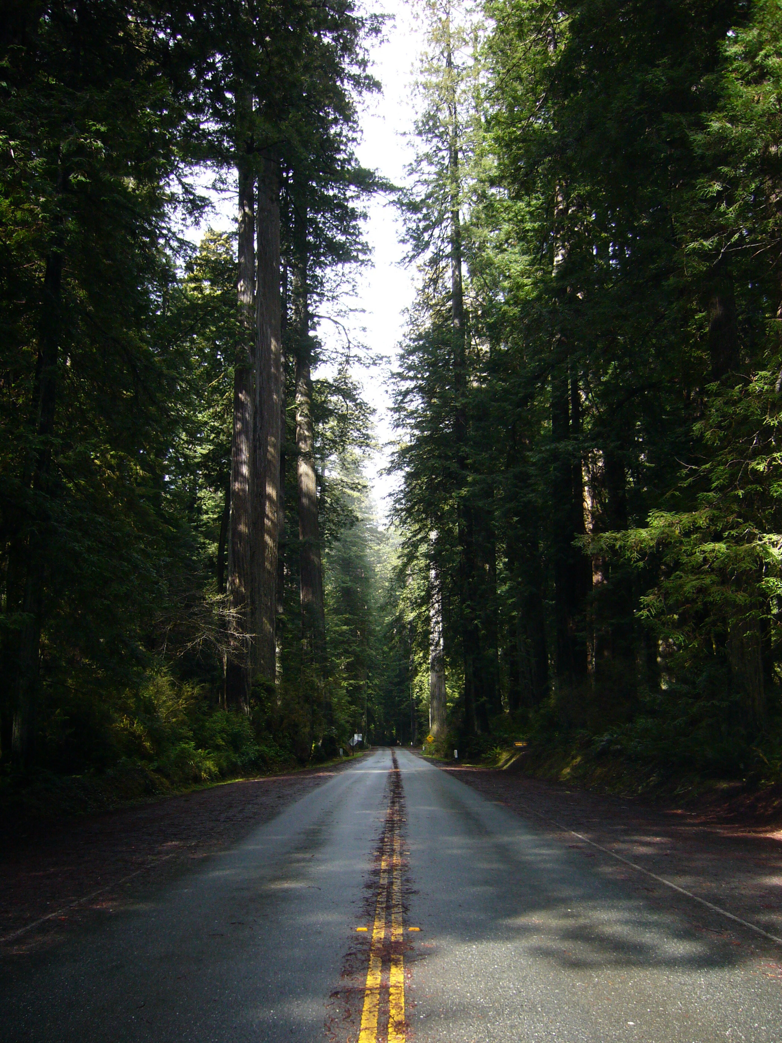
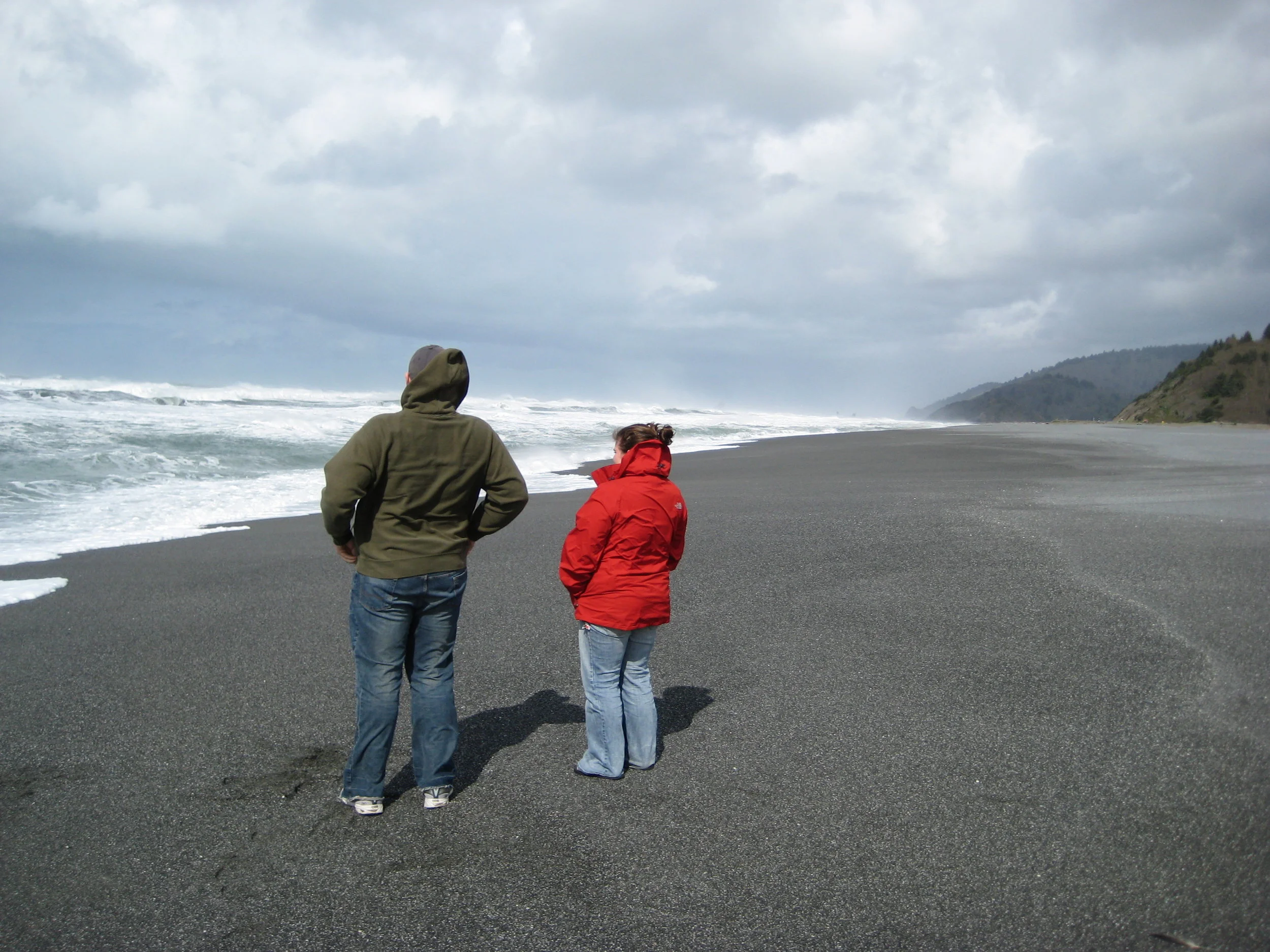
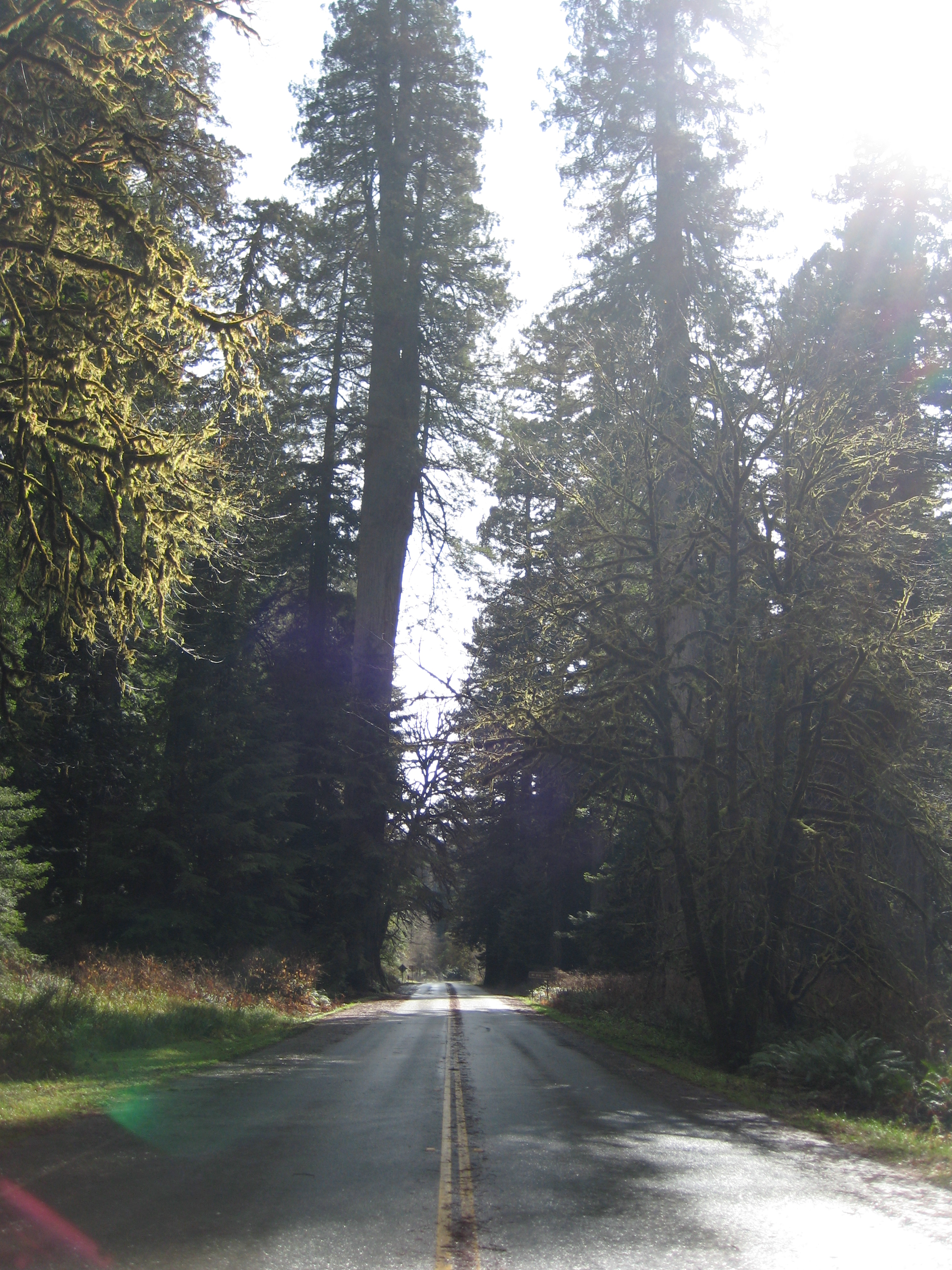
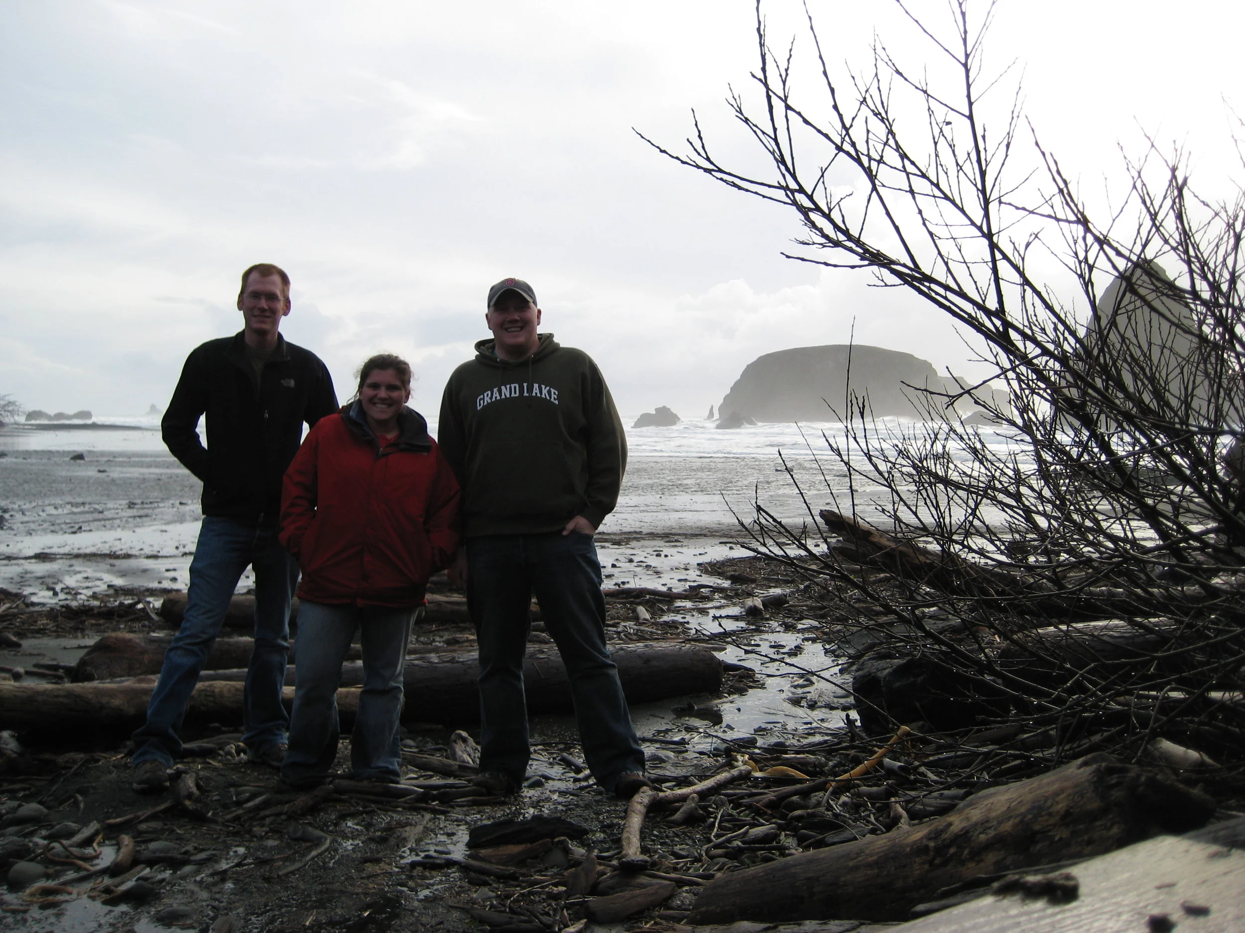
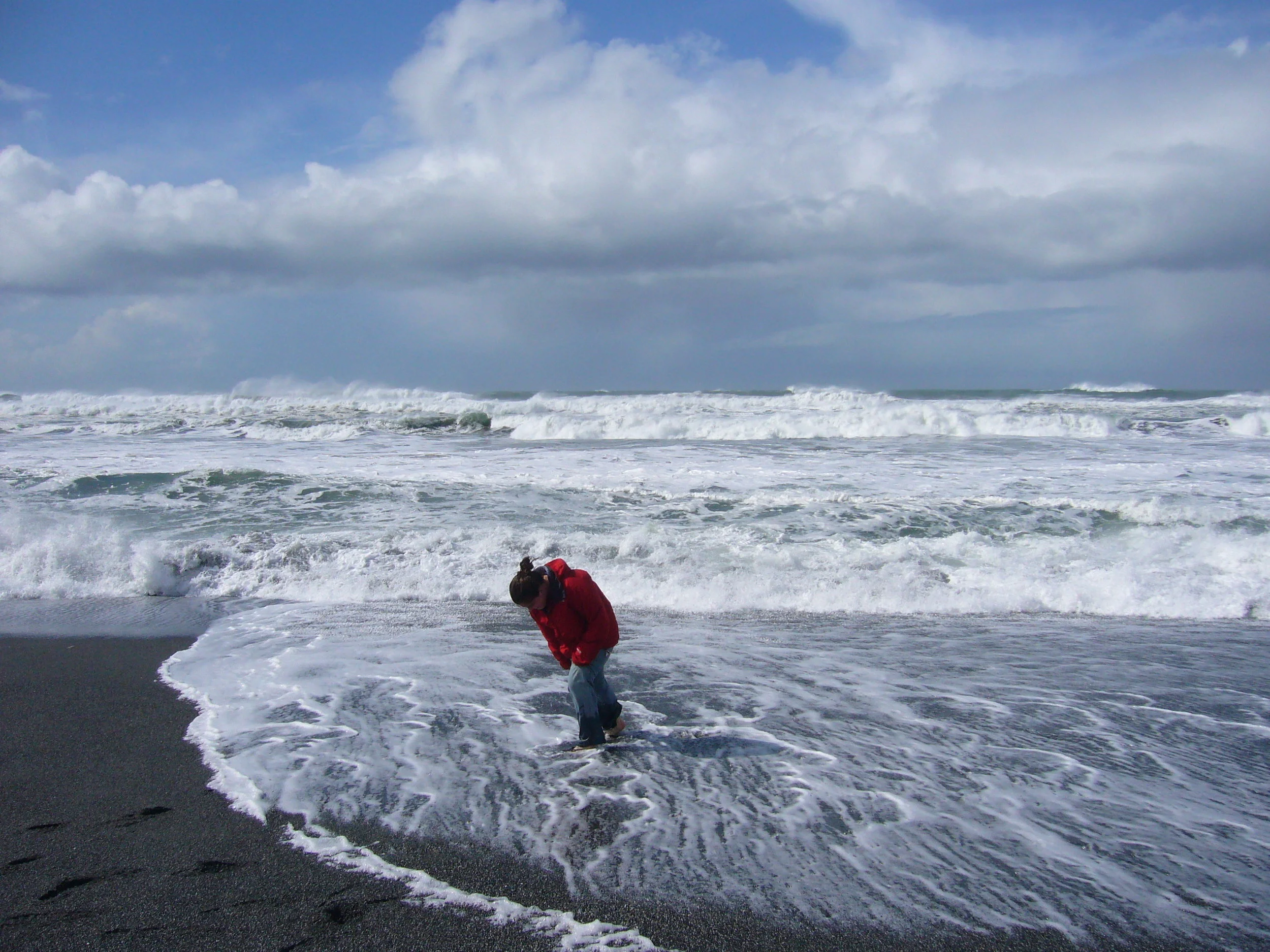
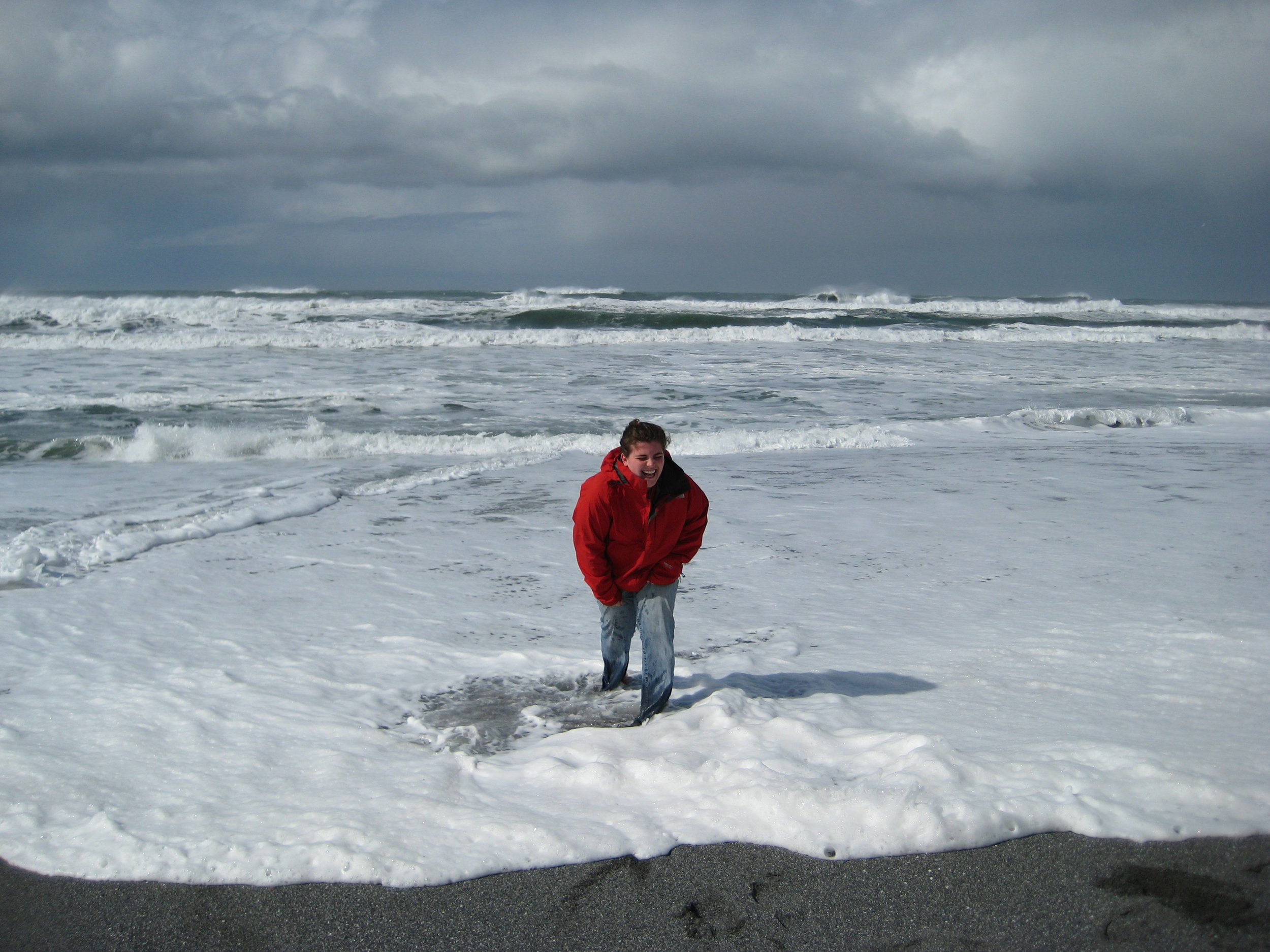
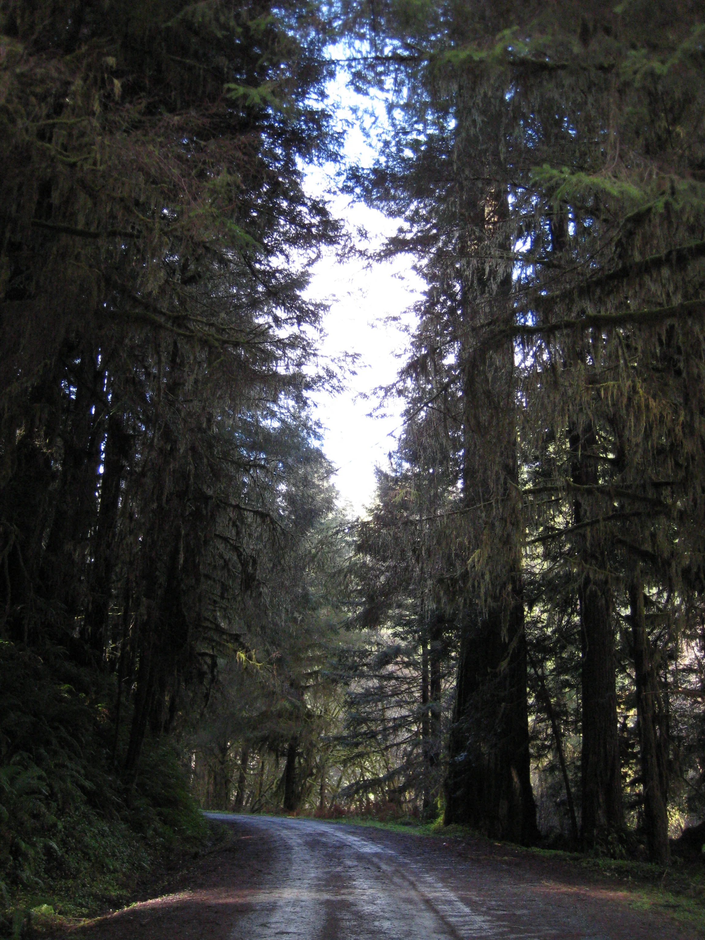
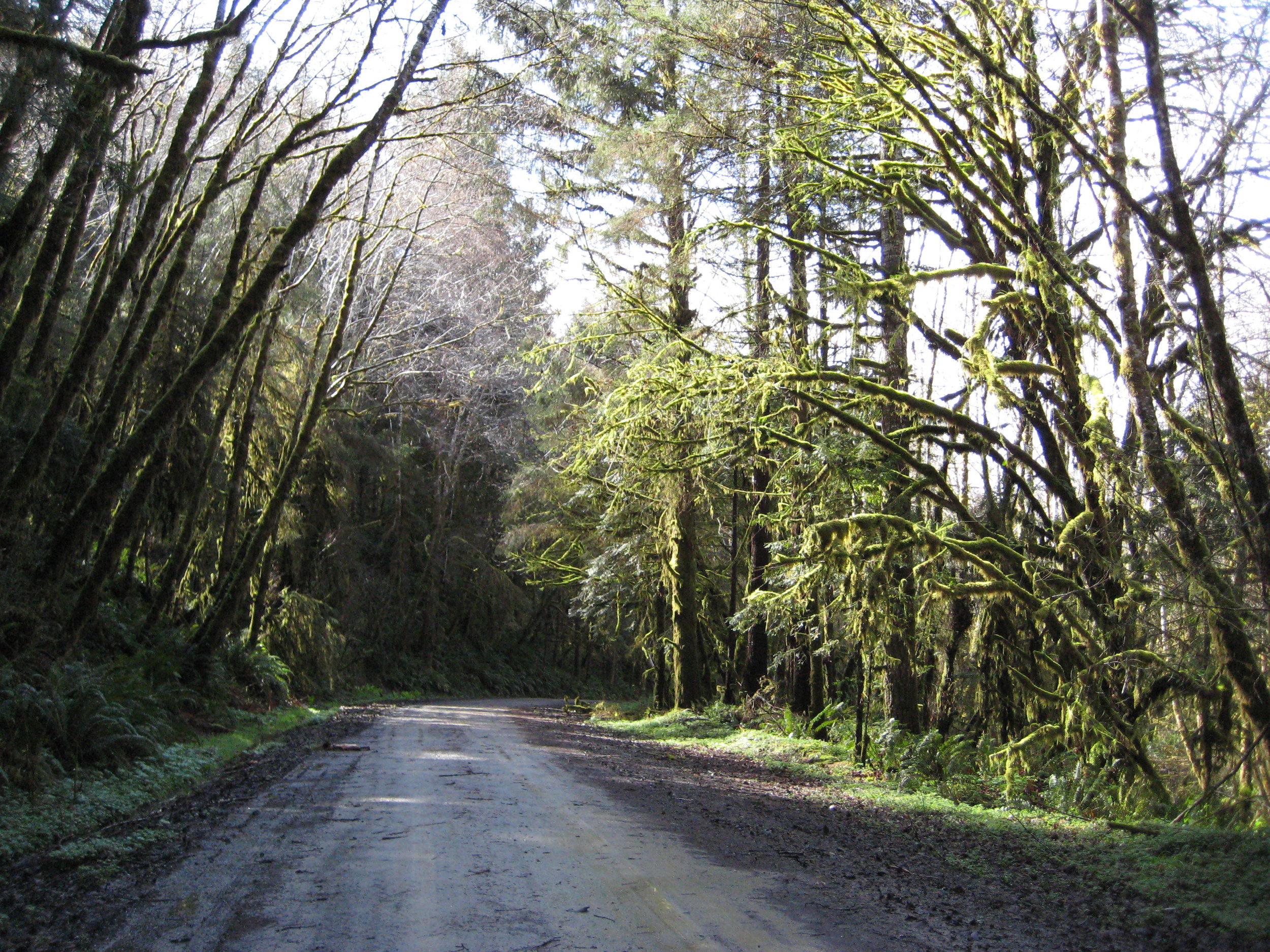
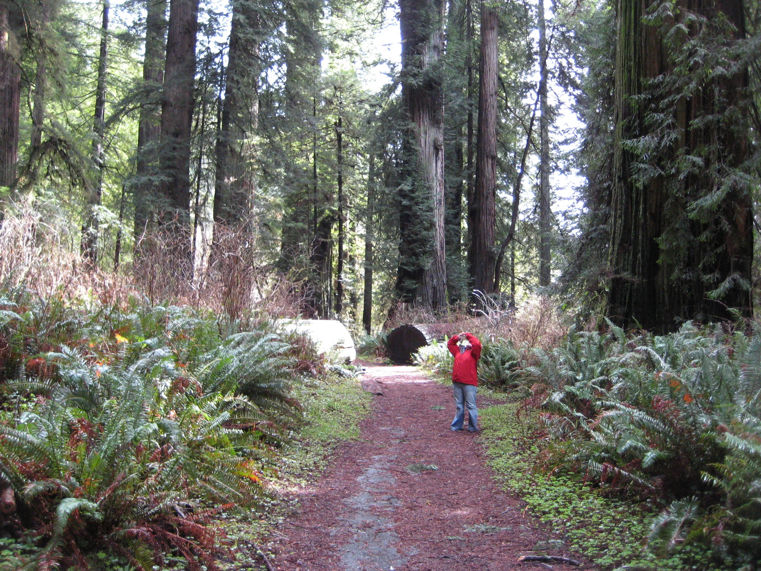
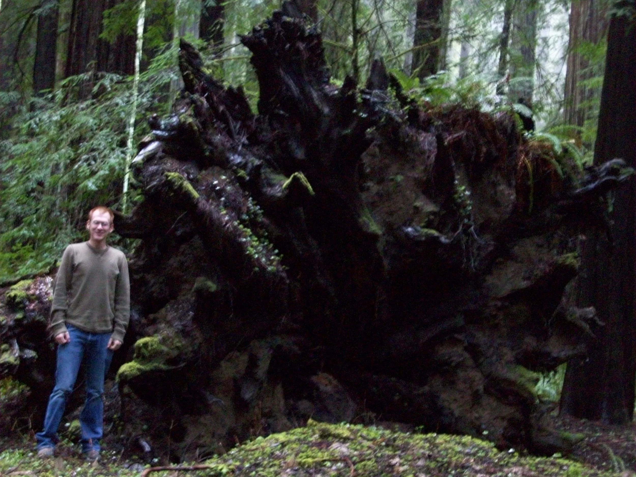
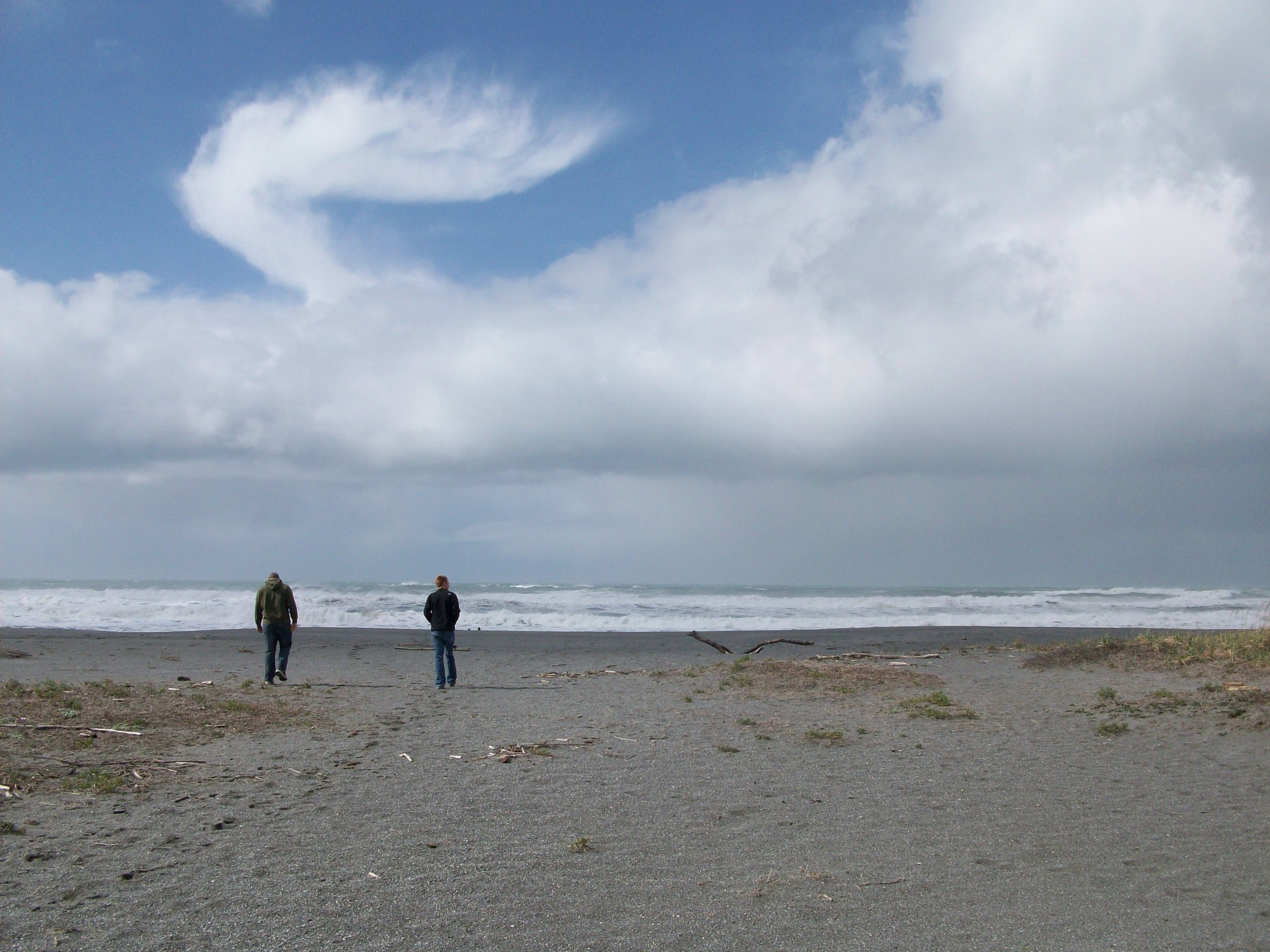
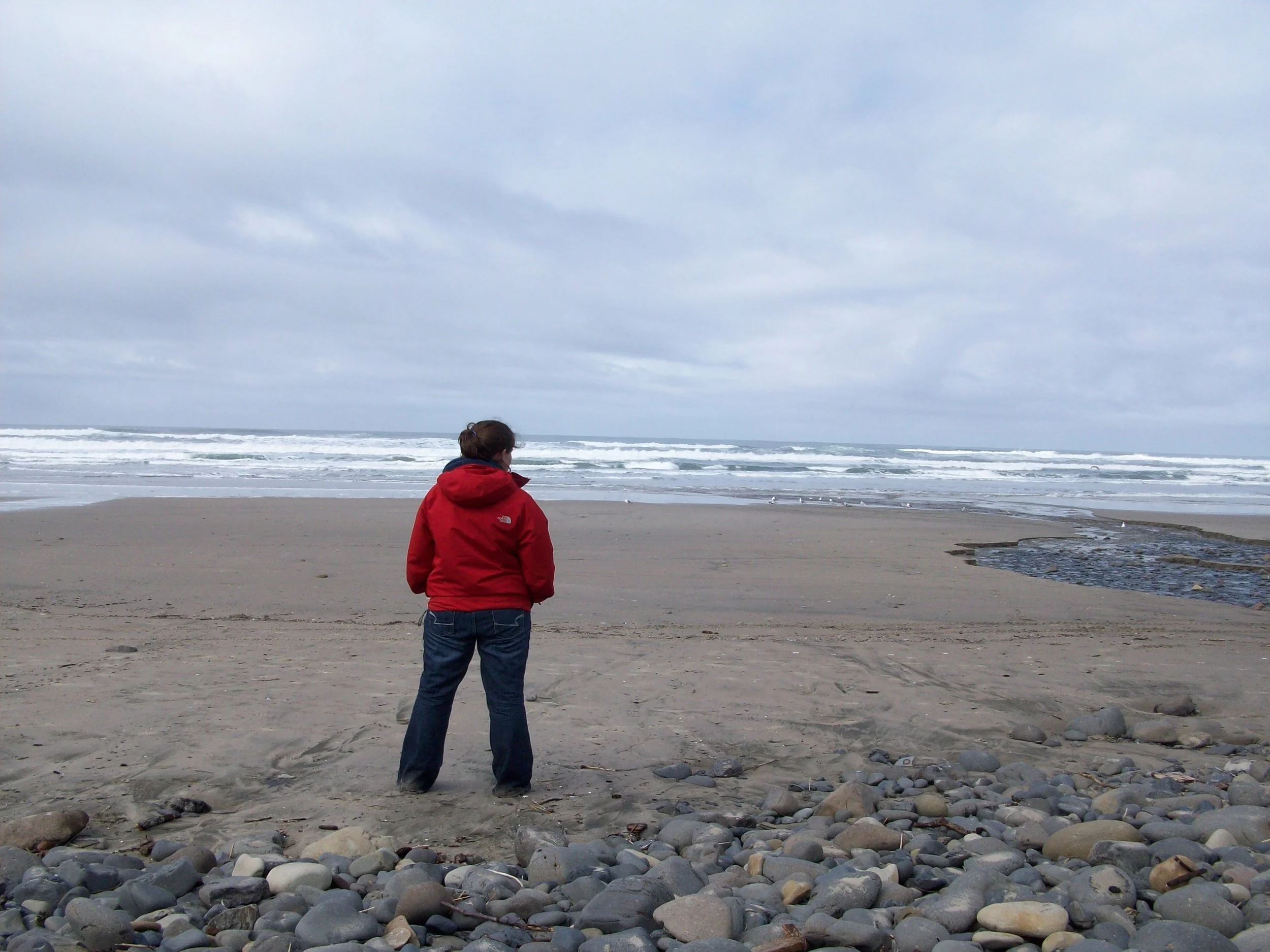
After a stinky night at the Motel 6, we set out in the rainy weather to find the Lost Coast of California. CA-211 took us to the Lost Coast via a winding mountain road beginning in the cute little town of Ferndale. It was an intense drive, through tree-lined winding roads and some snow and slick roads as the elevation increased. The Lost Coast had happy cows and felt very rugged and unspoiled. It almost reminded of how the coast would look in a movie set in the United Kingdom somewhere. It was gloomy and beautiful all at once. From the Lost Coast we continued on CA-211 through the windy mountain road and ended up at the Avenue of the Giants on US-101. It was a great place to end up, and we explored the Redwoods at Humboldt Redwoods State Park before making our way up towards Crescent City. Before going to see Big Tree and Prairie Creek, we stopped at the beach in Orick. It was at this beach that one of my favorite photos of Molly and I was taken as well as where Molly was caught in a rogue wave. We laughed a lot about that moment and it made for a good spirit booster. We were getting mixed weather - some sun, some rain, and always cool. We had enough dry moments to visit places within the Redwoods, but never for very long. Oregon was on the horizon so we made a quick stop at All Star Liquors, the one we found last year. As we were checking out, the lady said this was the "adult's candy store" and we couldn't disagree.
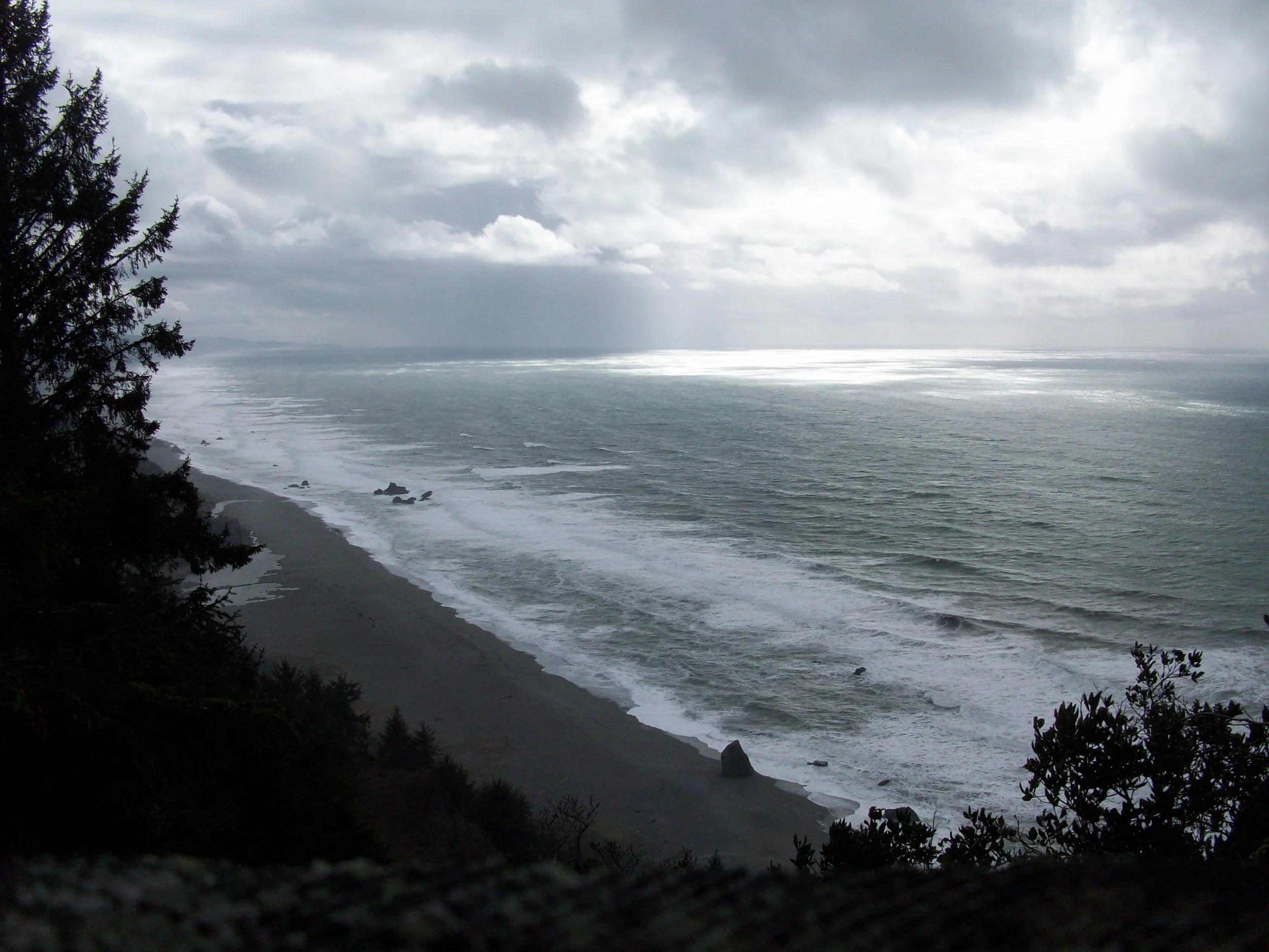
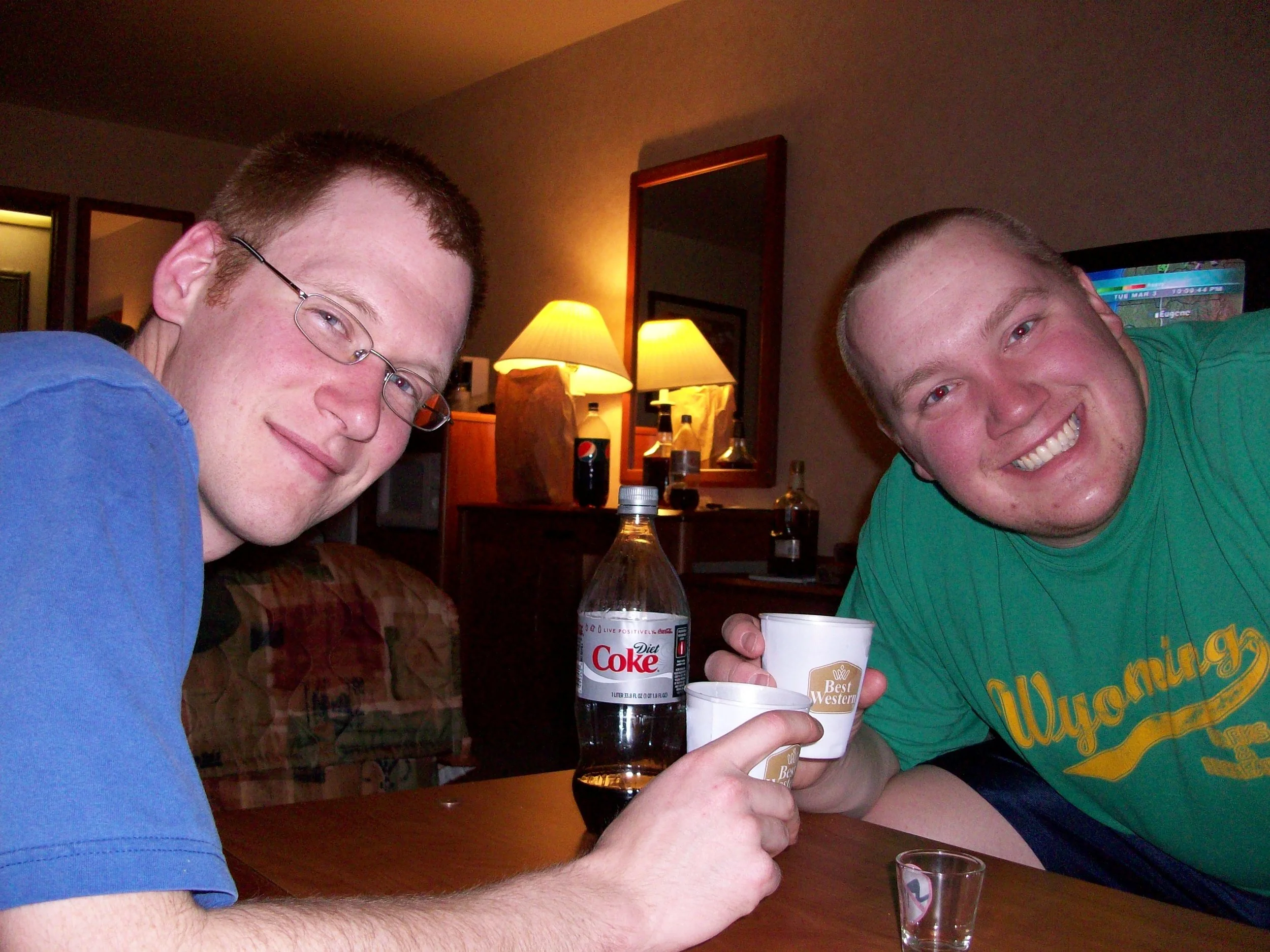
The weather was still patchy as we drove up the Oregon Coast, but we made several stops and did as many scenic turnouts as we could along the way. One stop was at Devil's Churn, one of my favorite spots from the previous year. Our hotel for the night was in Coos Bay at a very nice Best Western. Waking up in Coos Bay to rain was not the best, but at least we slept well and had free breakfast. As I was checking out, Molly was getting behind the wheel for the start of the day with Kevin riding shotgun. The night before, Kevin and I had Diet Coke bottles in which we mixed our drinks at about 50/50 booze and pop. Molly, who was just looking for a Diet Coke, took a big swig and had found one of our bottles from last night that was leftover. What a way to start the day, as the driver nonetheless!
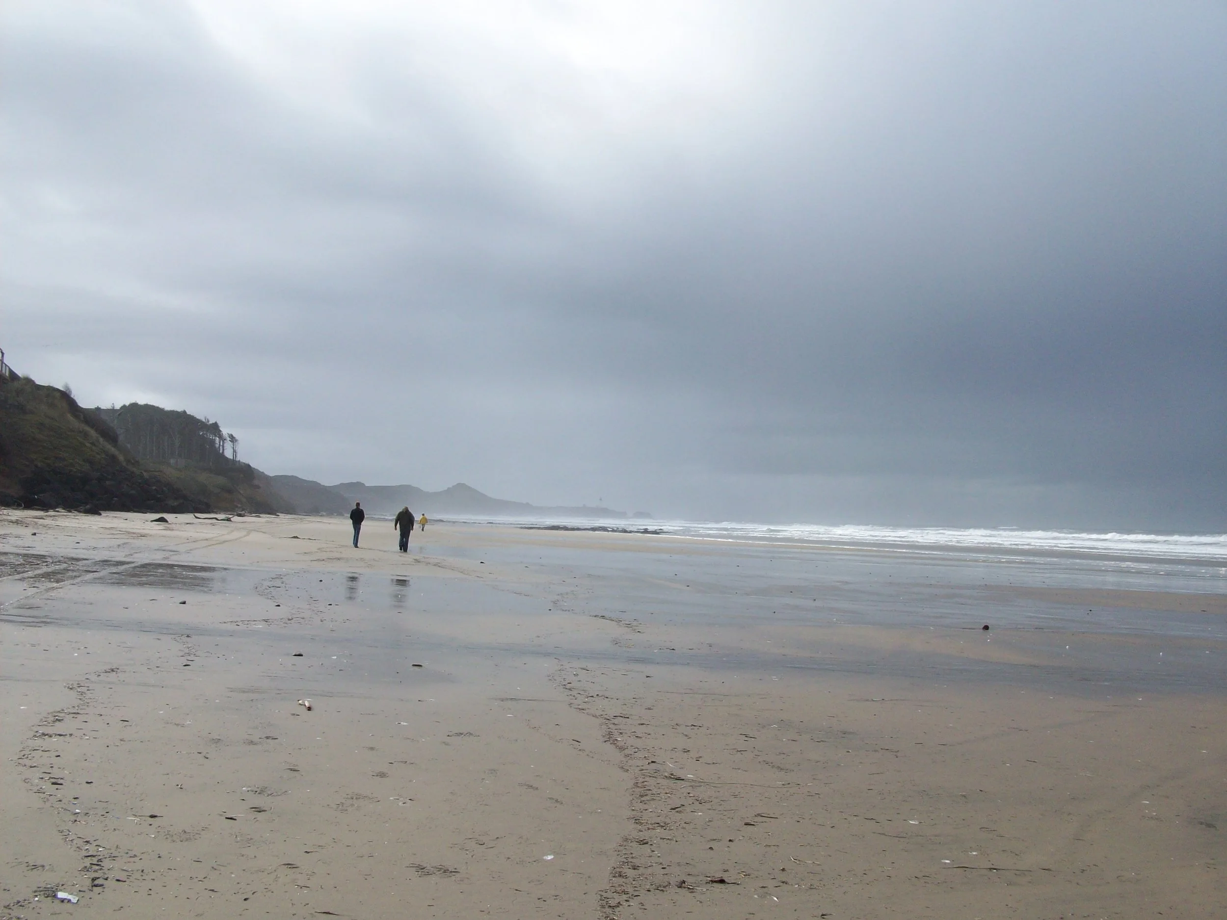

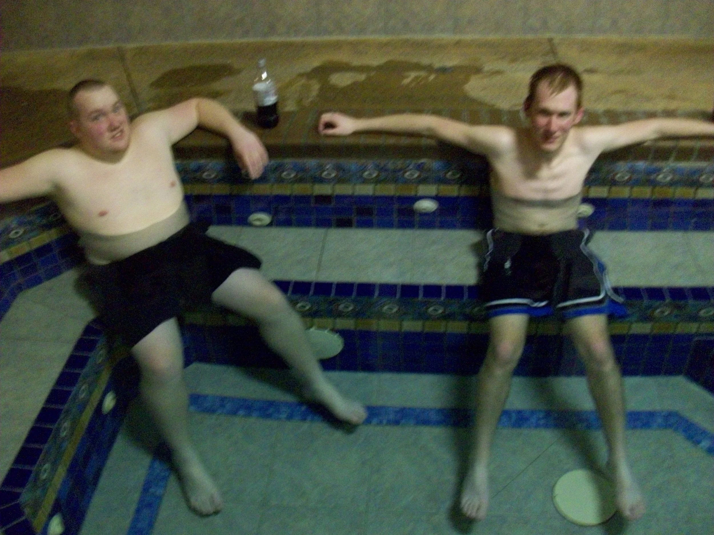
After getting Molly her regular Diet Coke, we drove north towards Washington with several scenic stops along the way. We went for a walk near Newport, Oregon on Agate Beach and stopped at Whalen Island to make lunch at a rest stop. From there we hauled ass towards Port Angeles up the east side of the Olympic Peninsula because somehow we got turned around. We ended the day at the very nice Olympic Lodge and had a lovey dinner at Joshua’s. I remember ordering fish and chips and having an Alaskan Amber and Molly told me this weekend that we also had some random guy buying is jello shots. After dinner we went back to the hotel and used the amazing pool area in the back with fun evergreens and random old people up way too late!
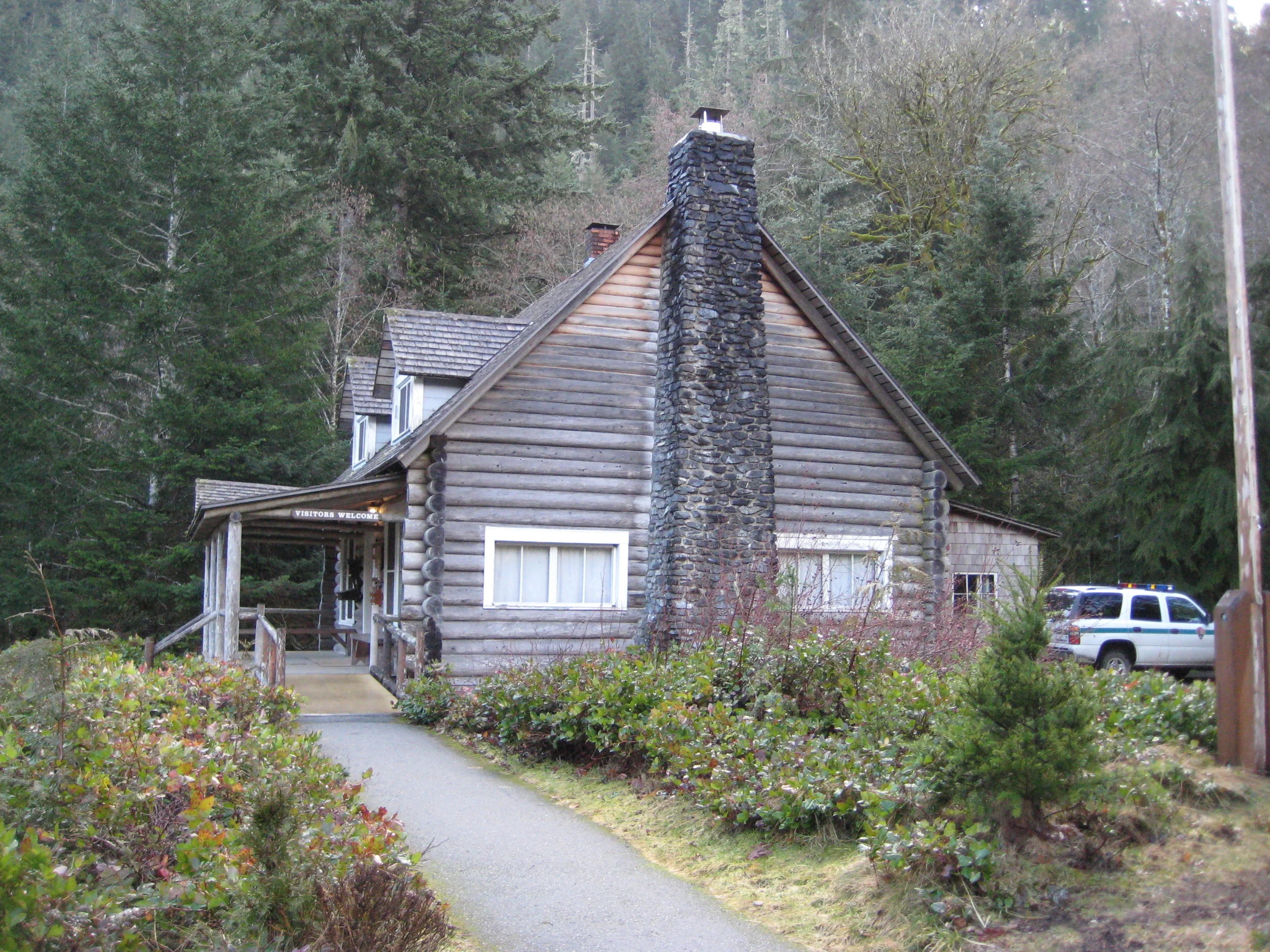
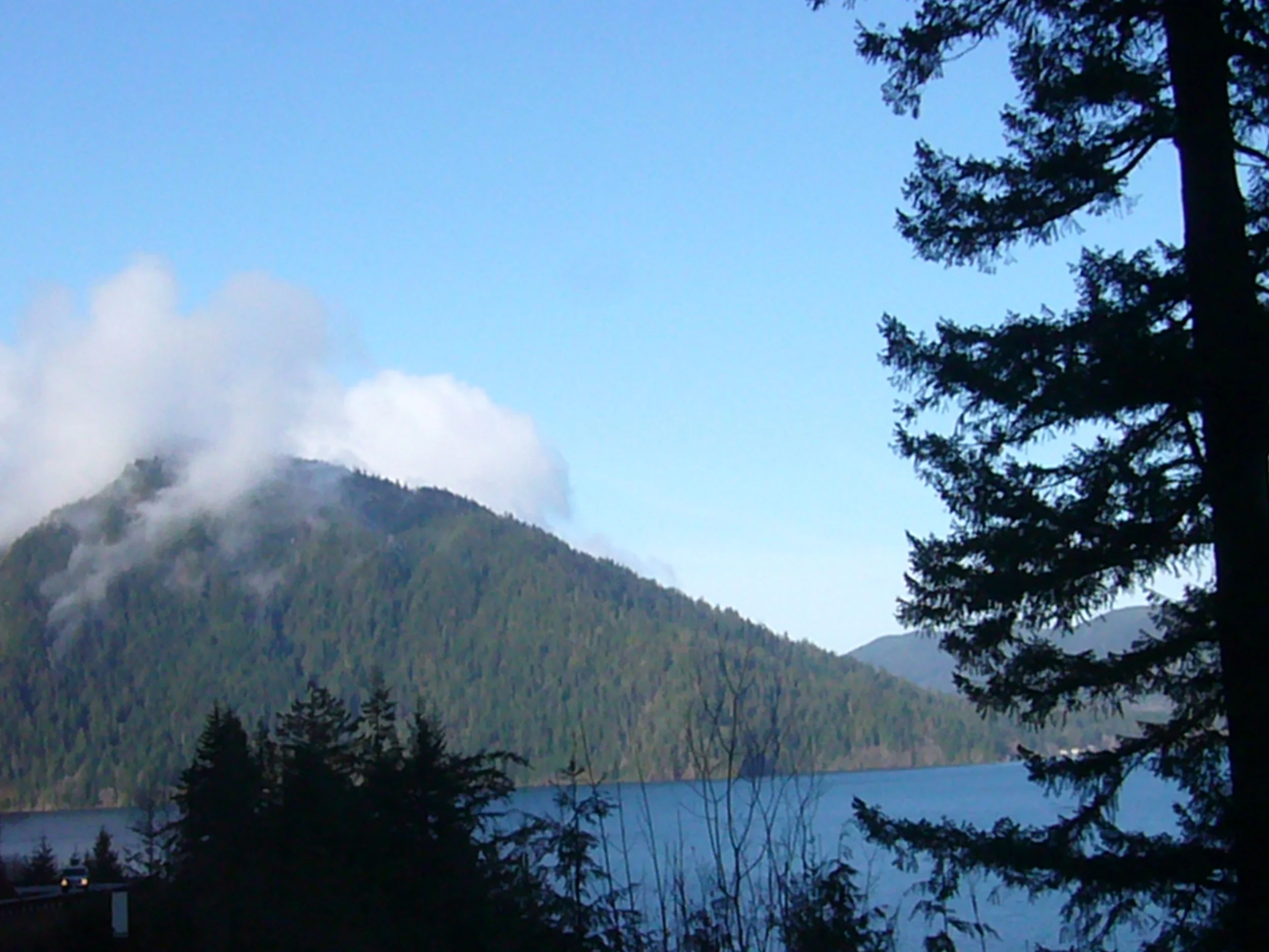
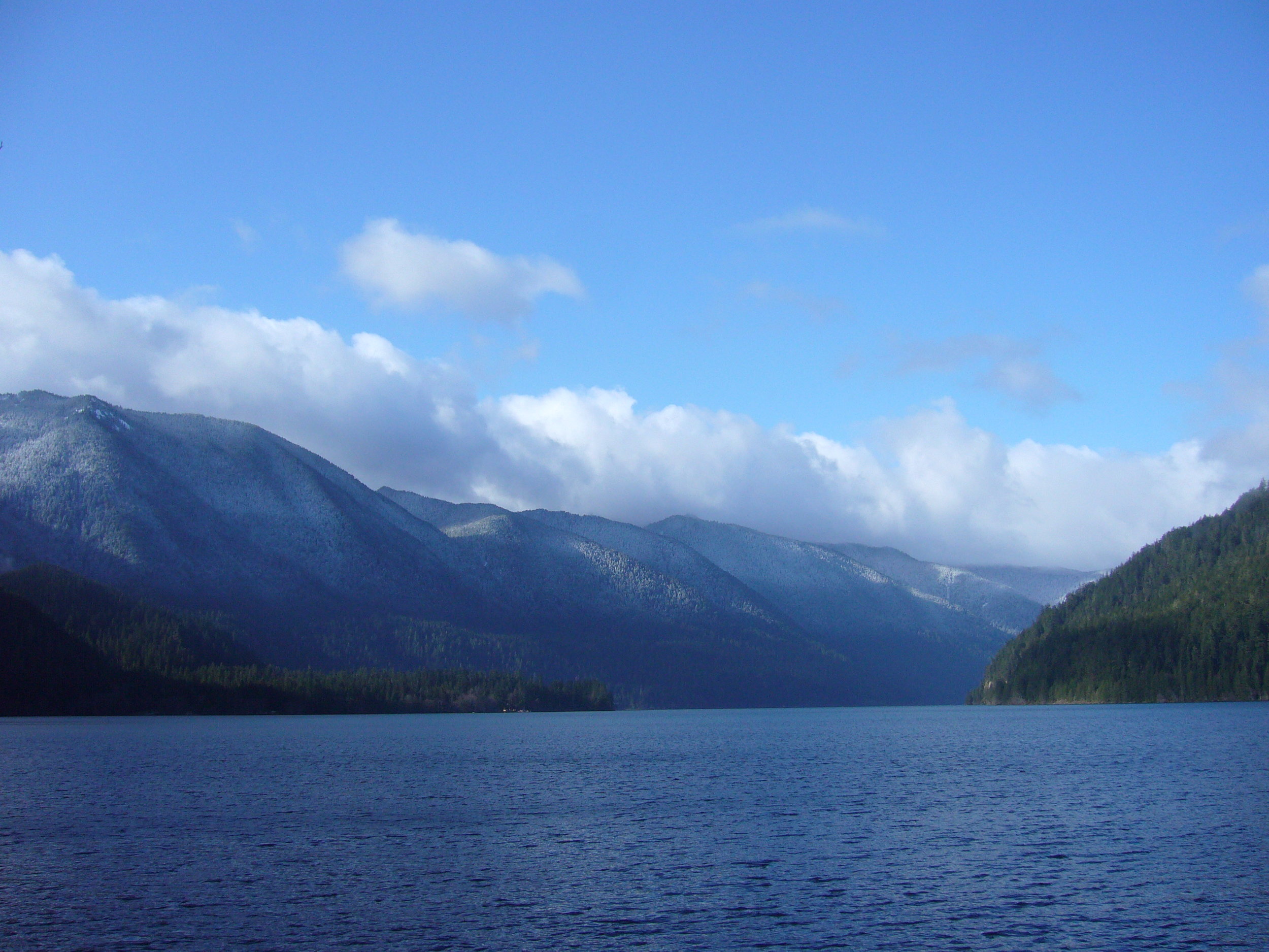
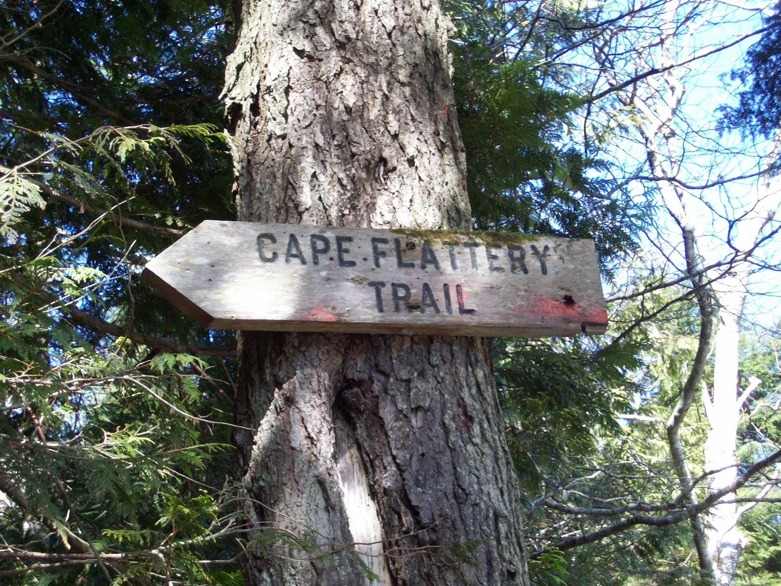
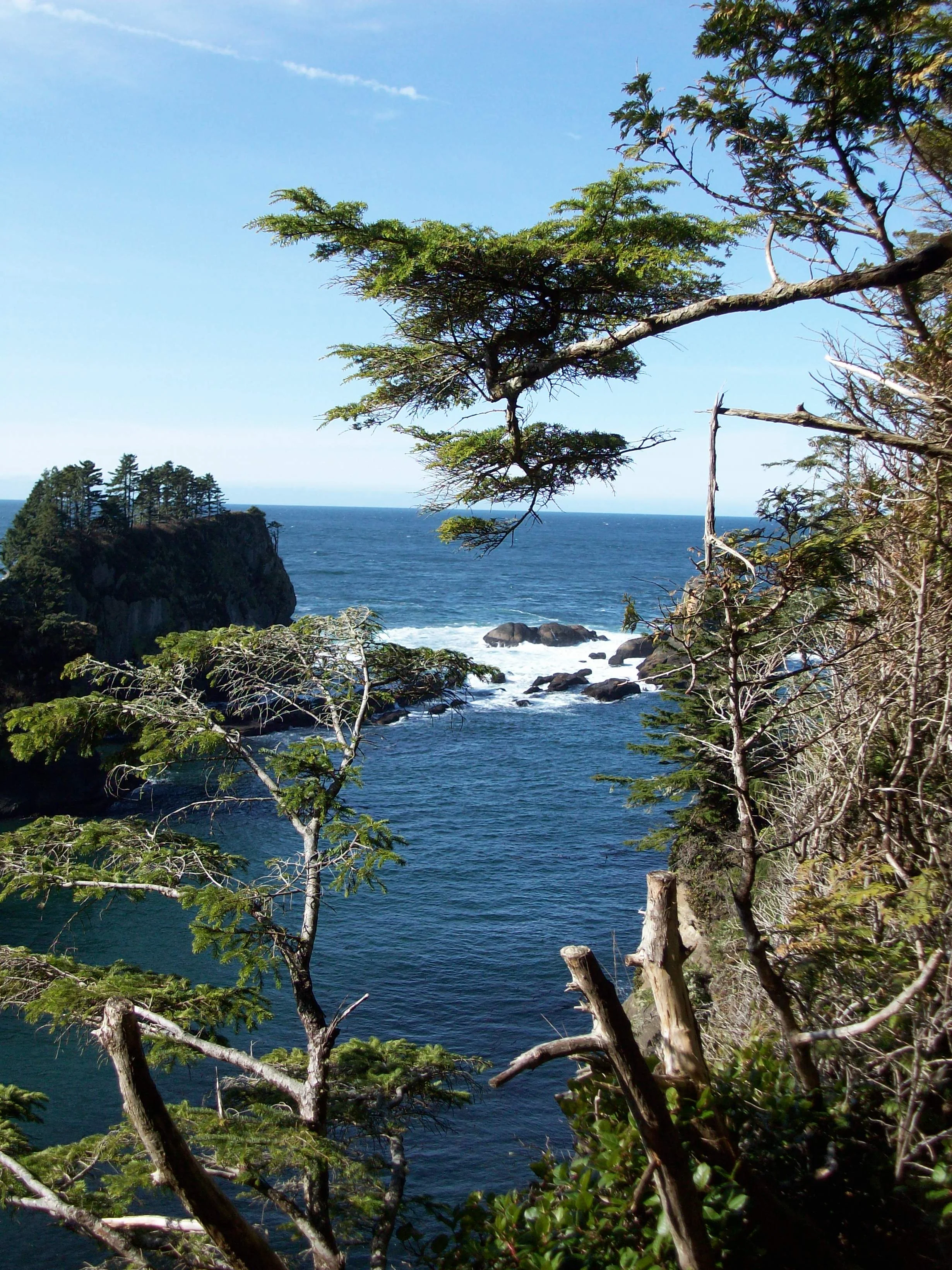
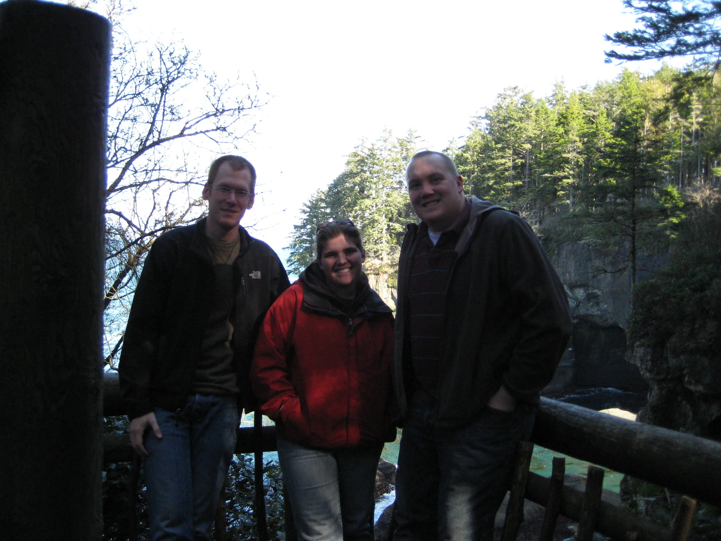
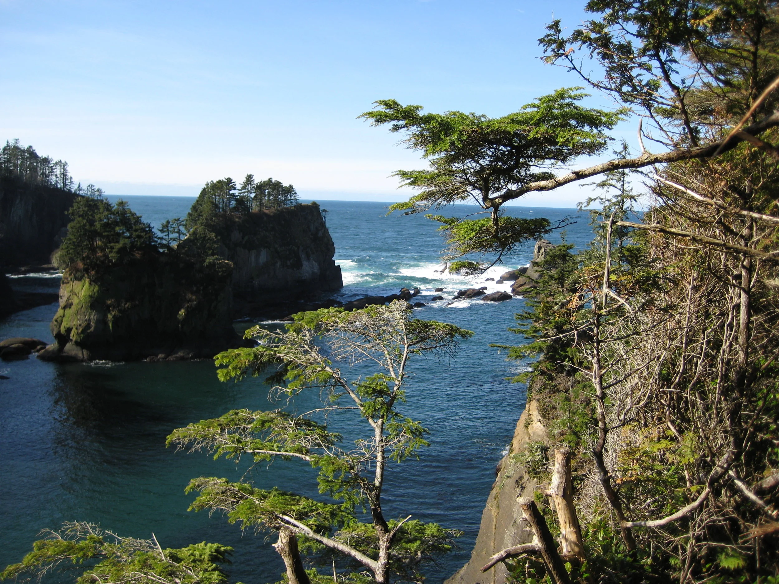
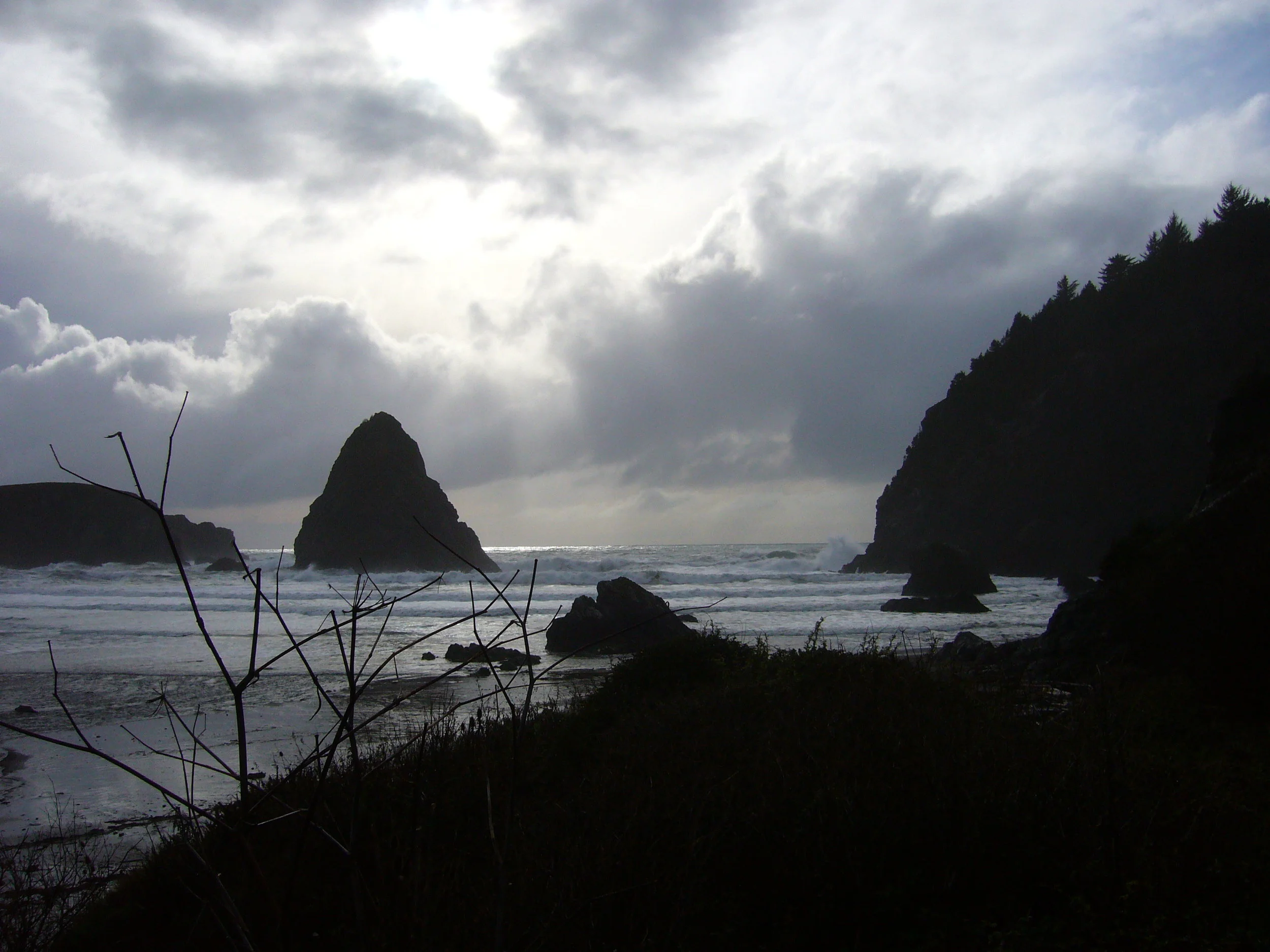
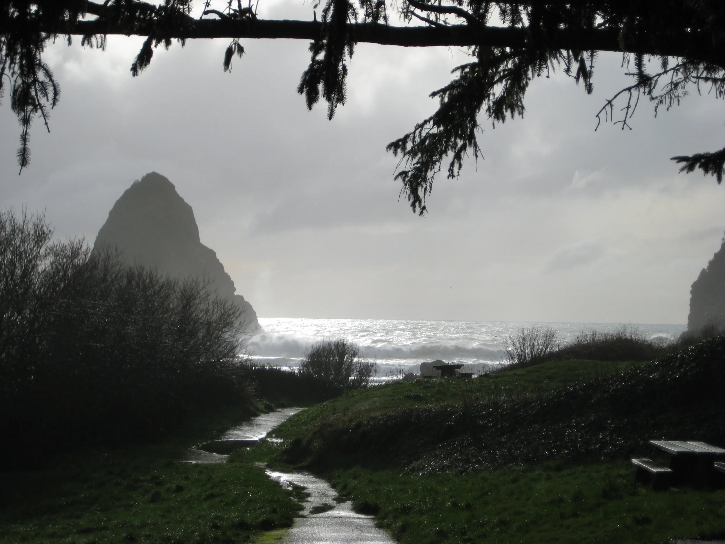
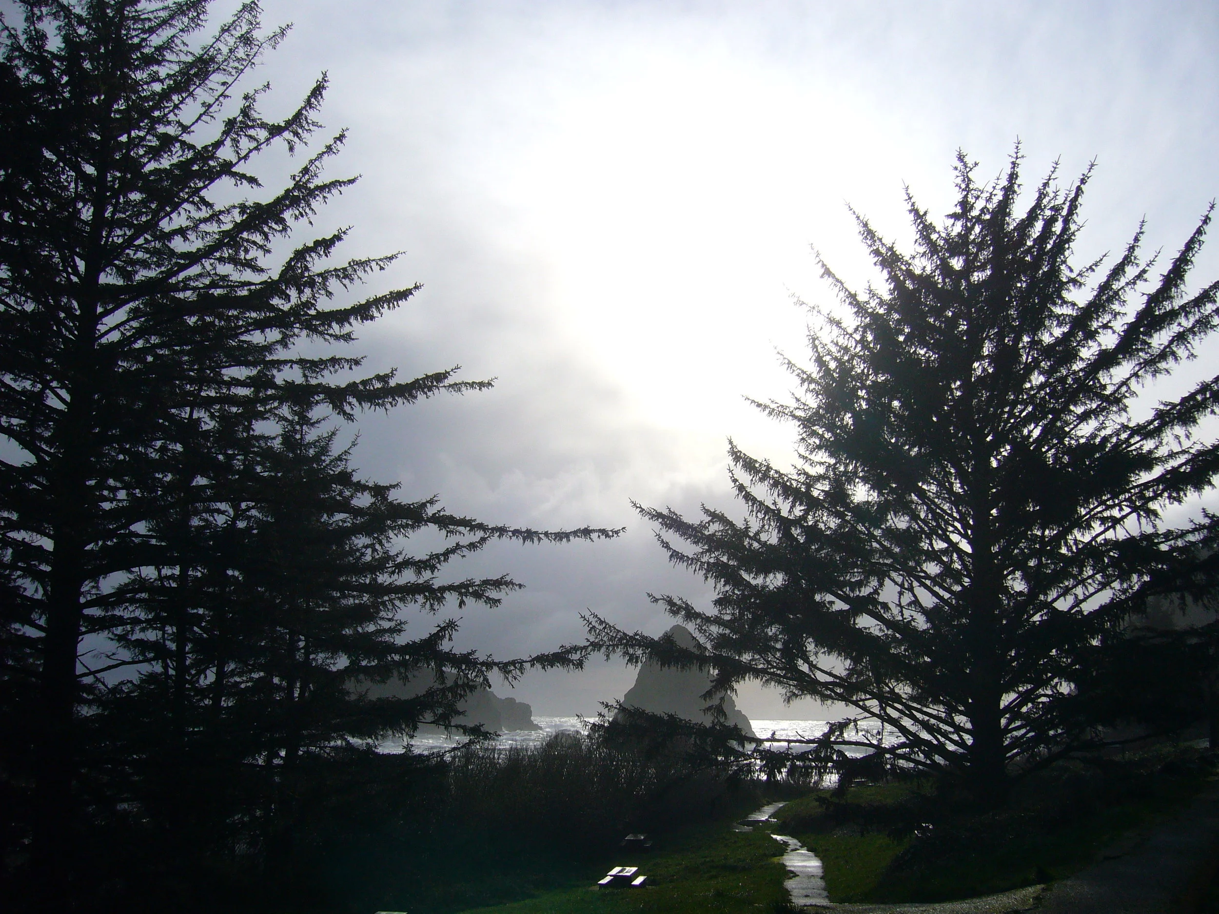
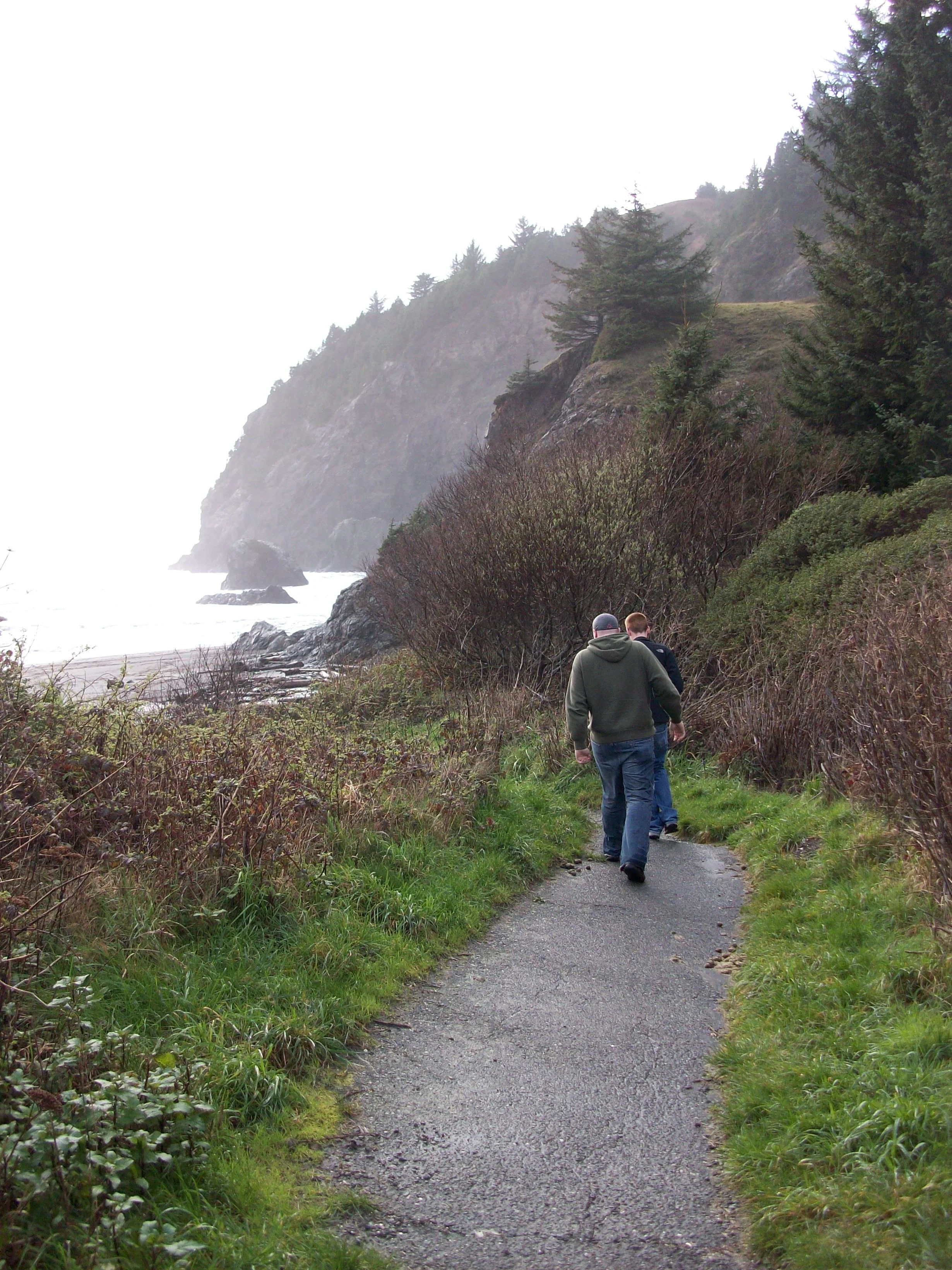
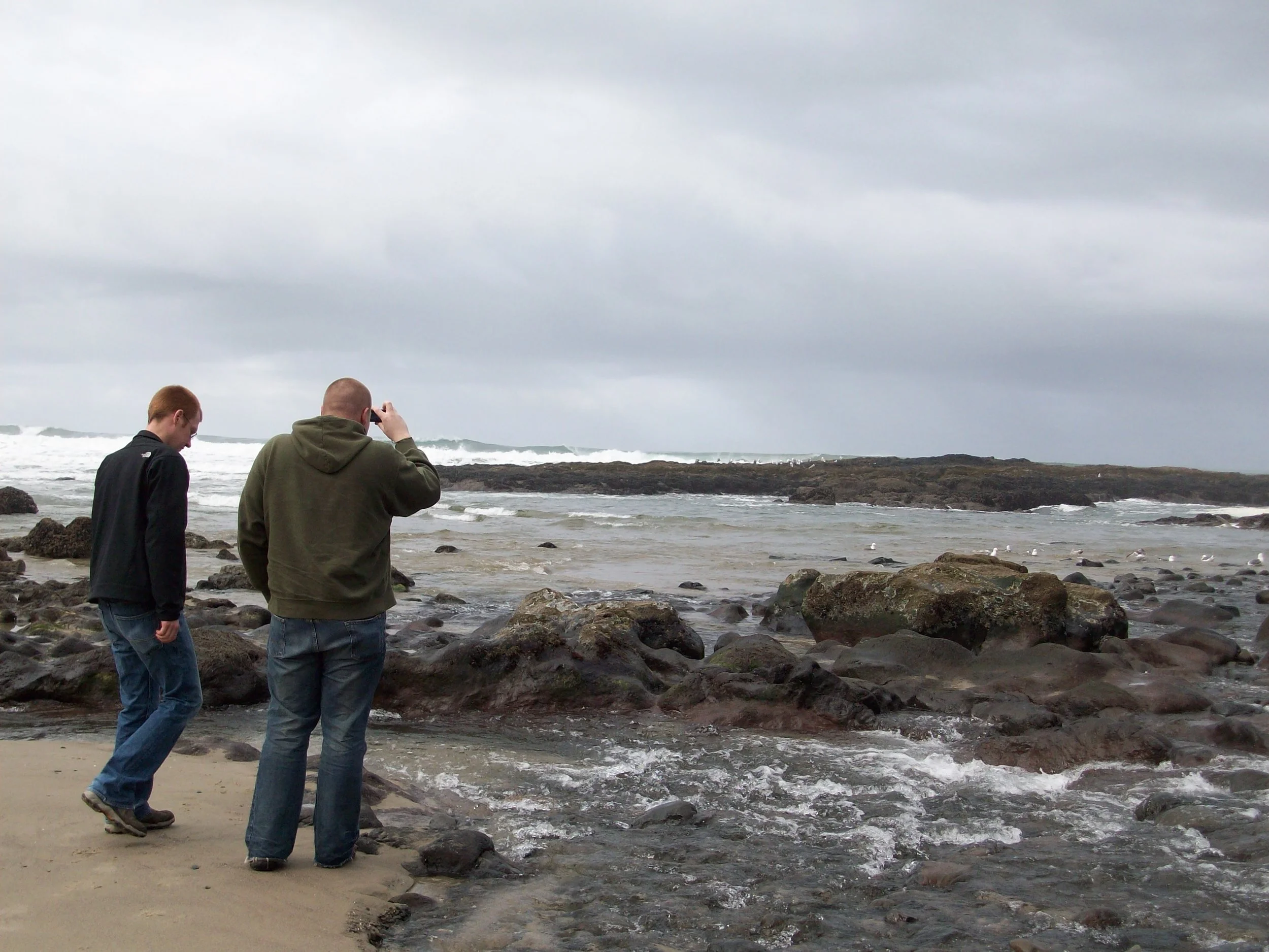
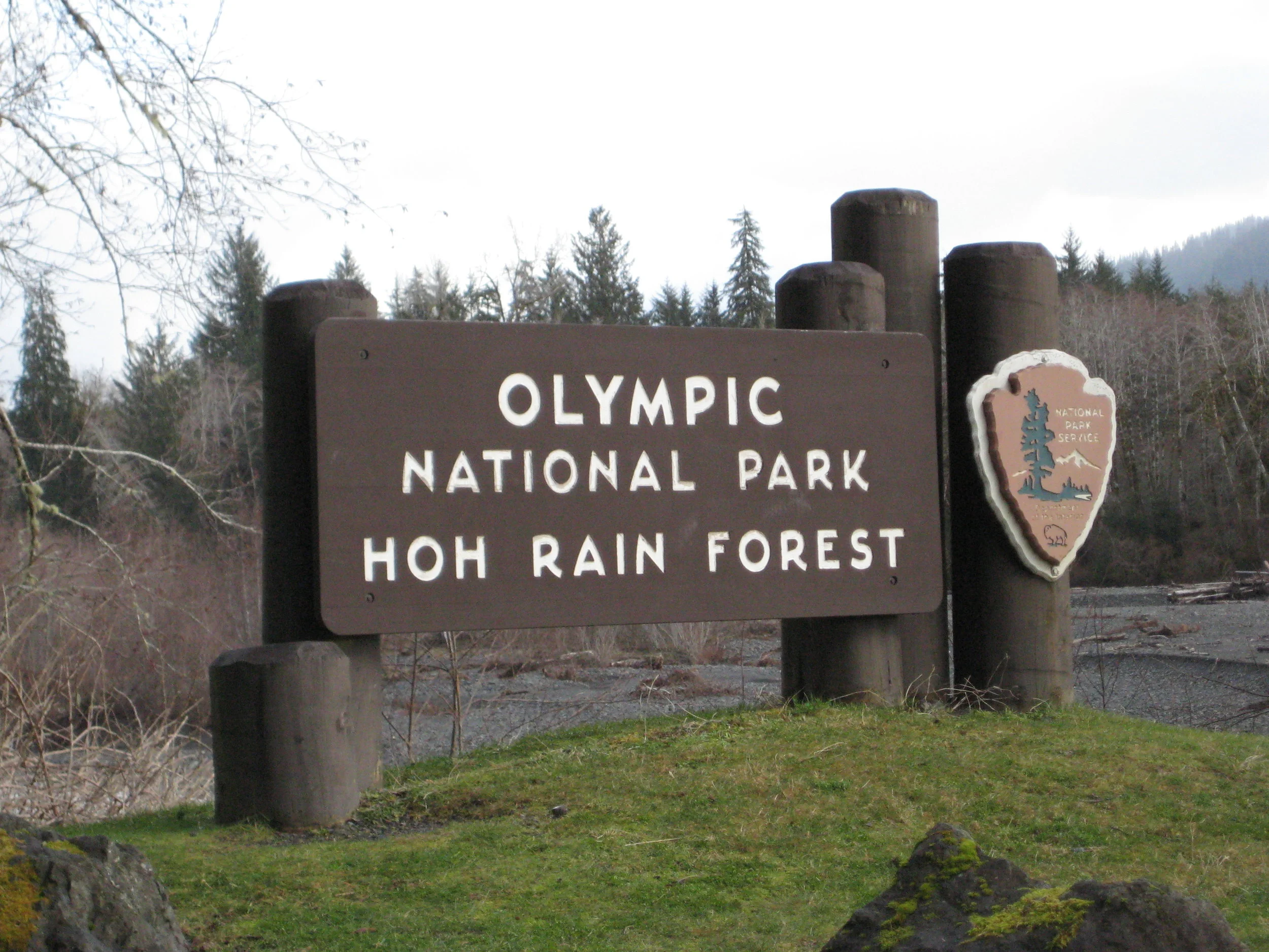
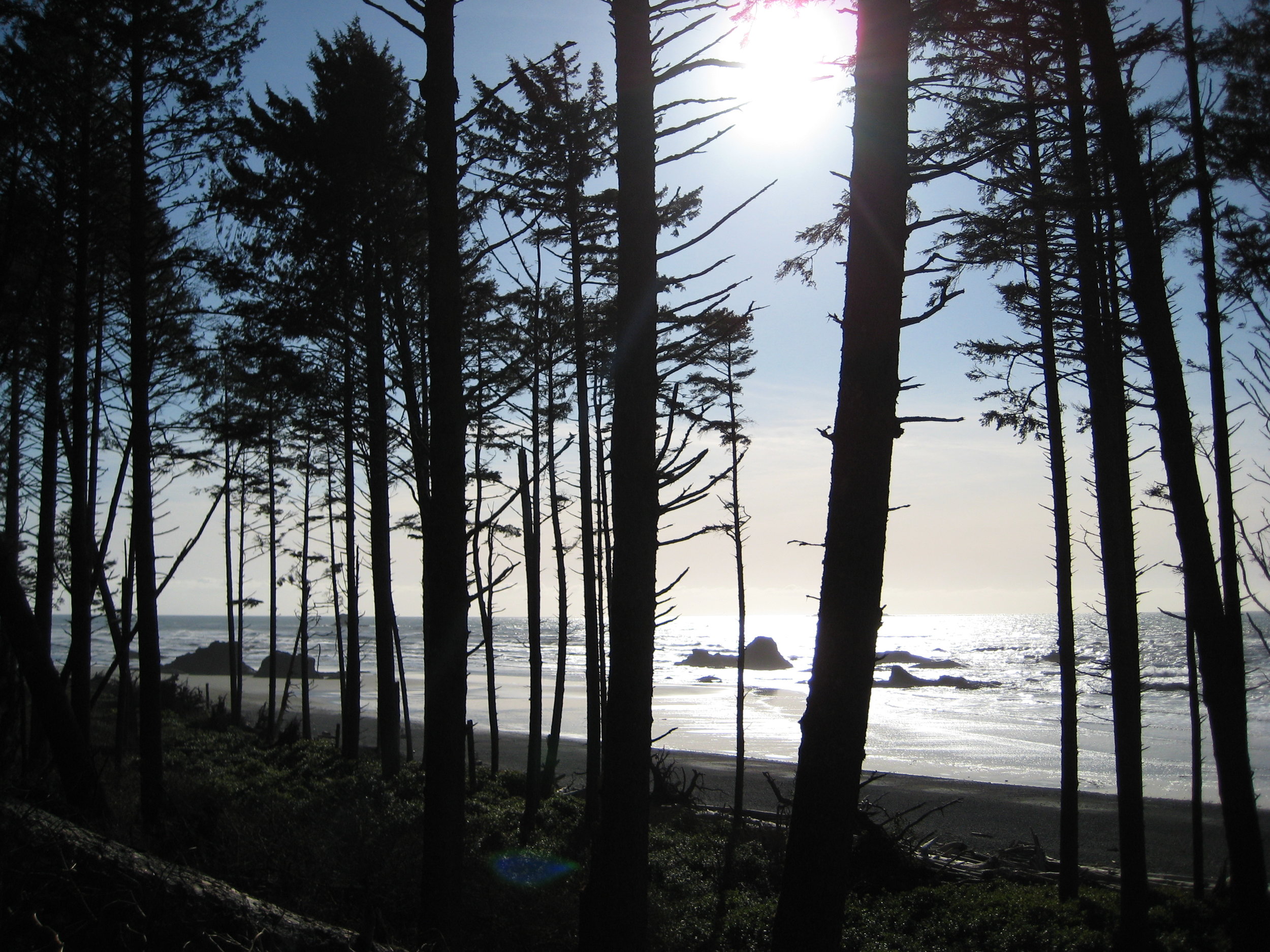
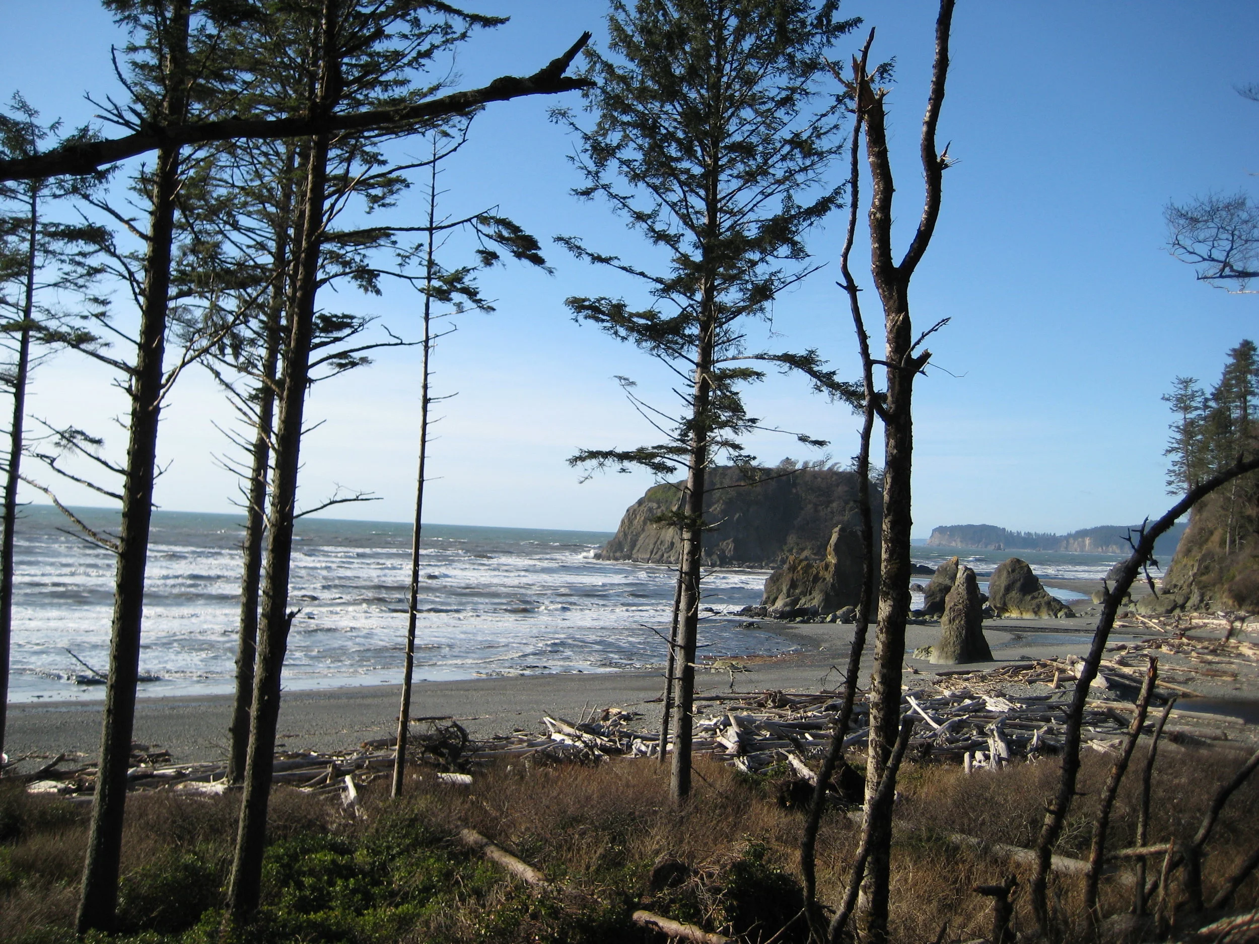
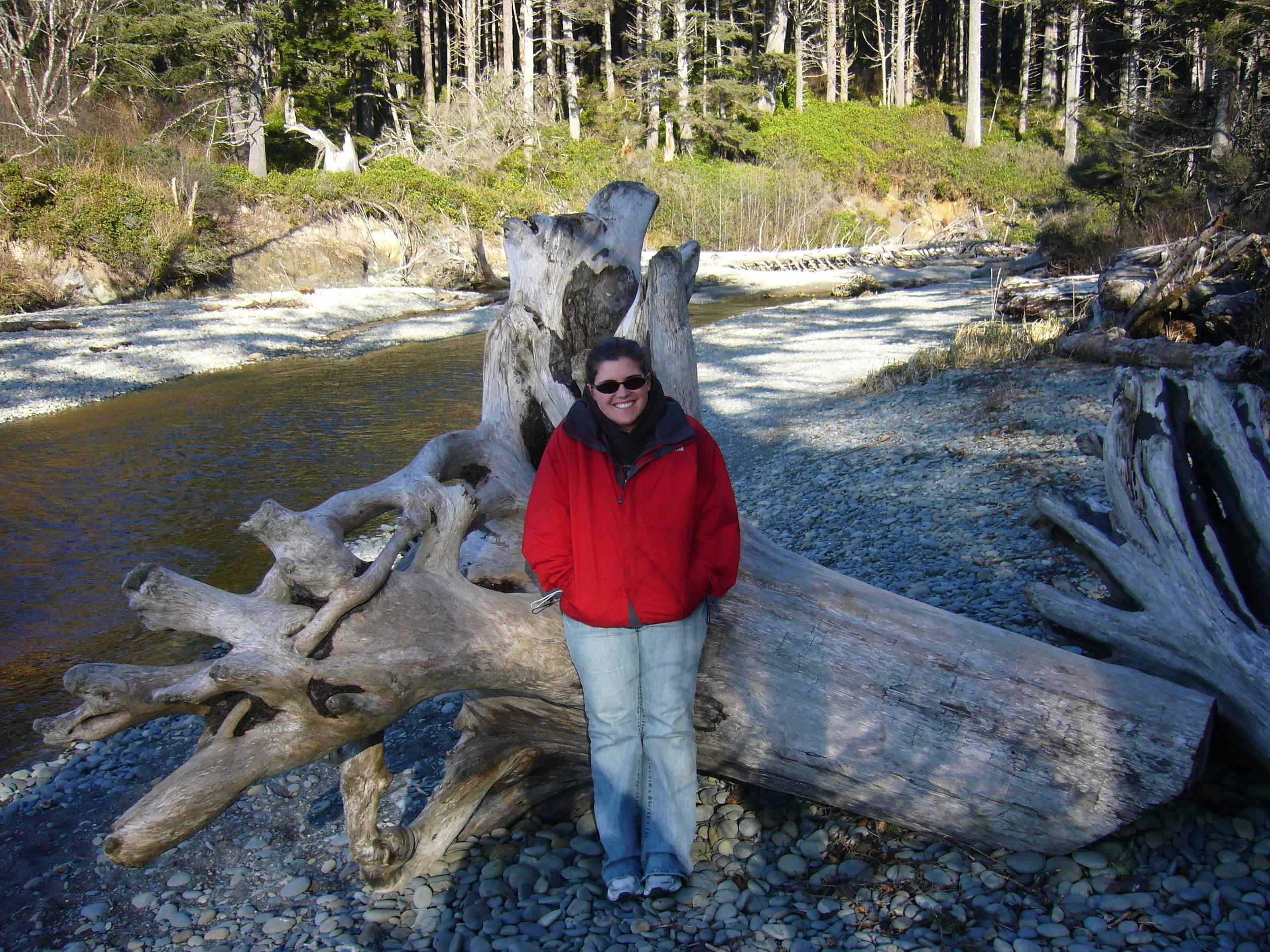
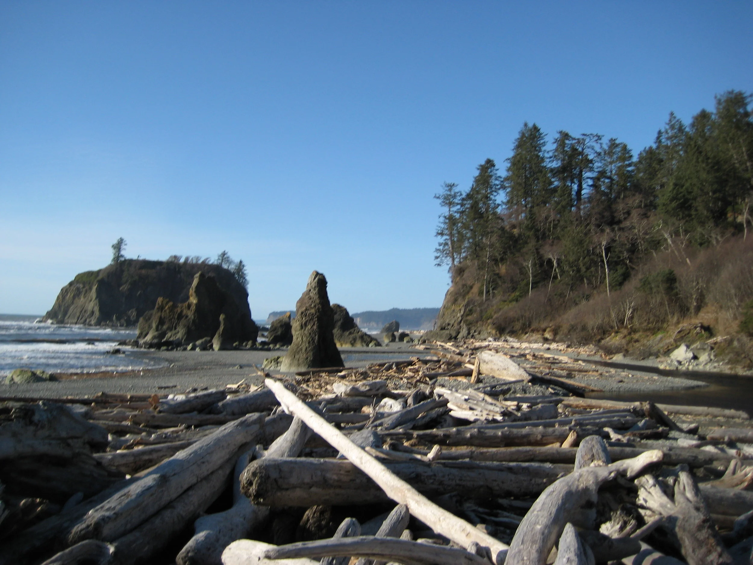
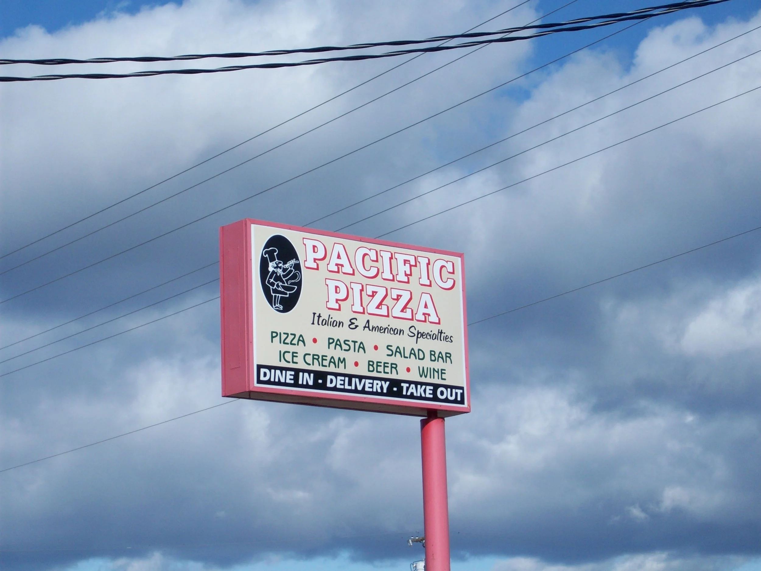
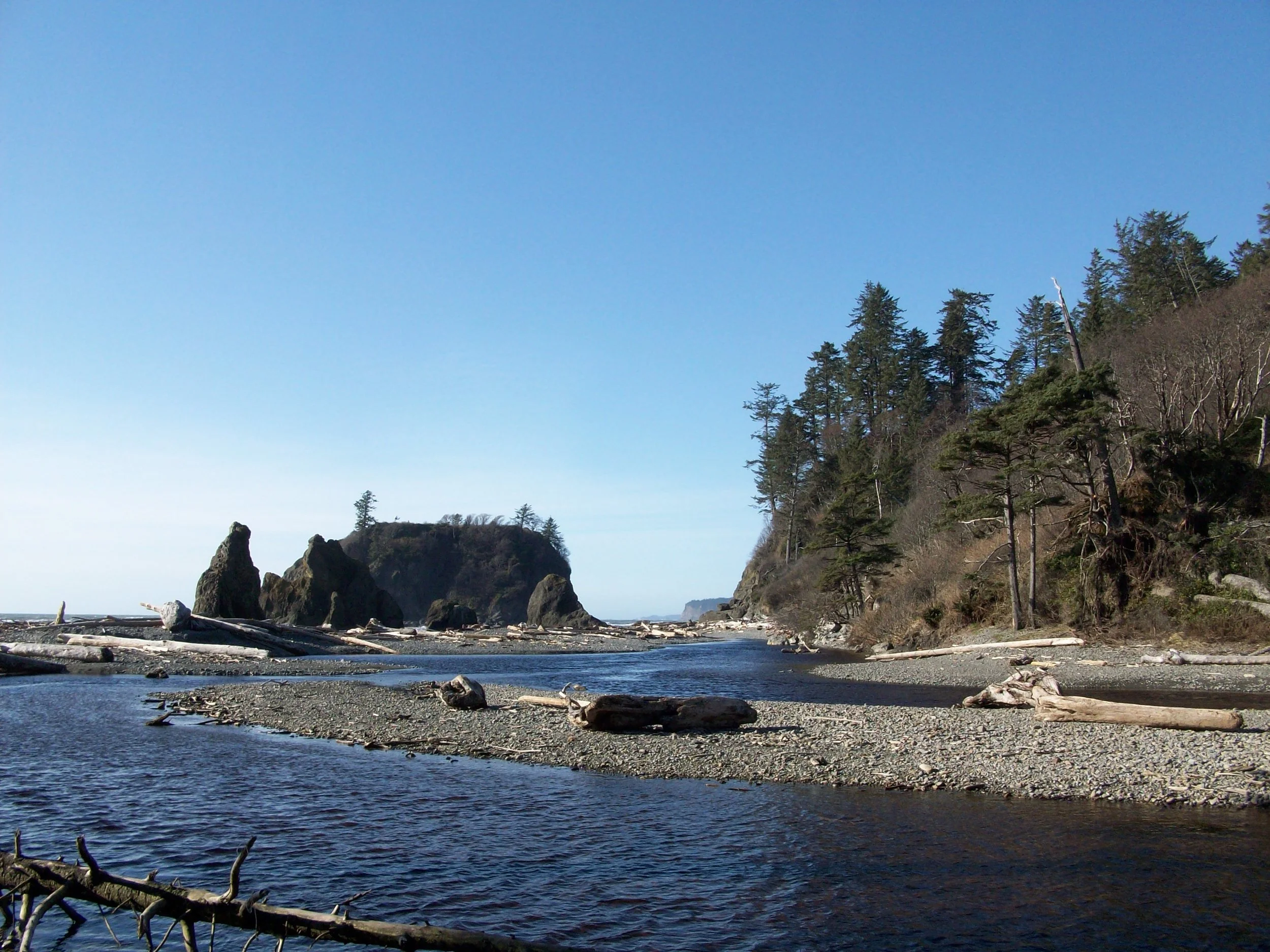
We woke up on the Olympic Peninsula to sunshine so we got a move on to Lake Crescent to start the day. We explored the Storm King Ranger Station and decided to move on towards Cape Flattery. The trail was unlike any trail I’ve ever hiked, at the time, and started on a boardwalk through the forest ending with rocky cliffs and great views. The water was the most brilliant color mix of blue and green I’ve seen to date and trees were growing out of the rocks, holding on for dear life. It is a fun fact to say you've been to the most northwest point in the lower 48, and I like to bring it up whenever I can. Lake Crescent was the start of everything amazing about the Olympic Peninsula and Cape Flattery kept the momentum going, but it didn’t stop there. We visited Ruby Beach and caught a moment of sun as we climbed over the driftwood to get to the shore. Before Ruby Beach, we drove down the Hoh Rain Forest road and back, without spending much time there due to weather. We had lunch in Forks, at Pacific Pizza and the waitress asked us if were there because of Twilight. Kevin and I had no idea what Twilight was and Molly politely said "no" and explained to us that it was a book and movie that was all the rage, apparently. We left the peninsula feeling fulfilled by all the natural wonders and in search of lodging to rest up for the beginning of a long drive home the next day.
THE NORTHWEST TO HOME
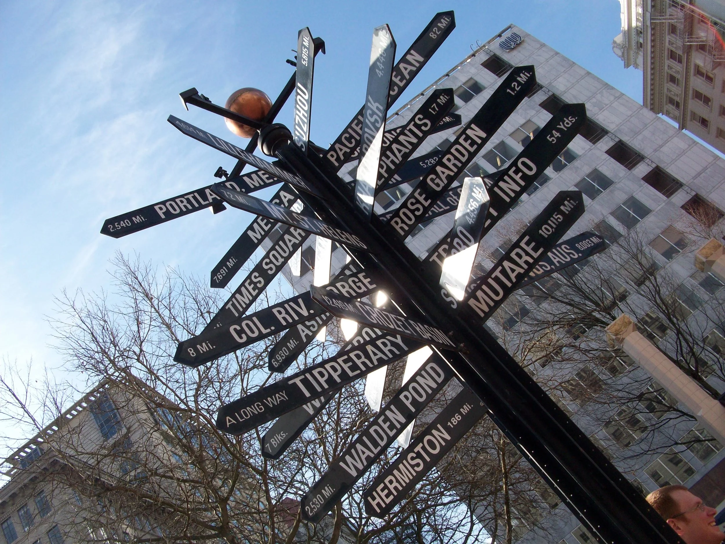
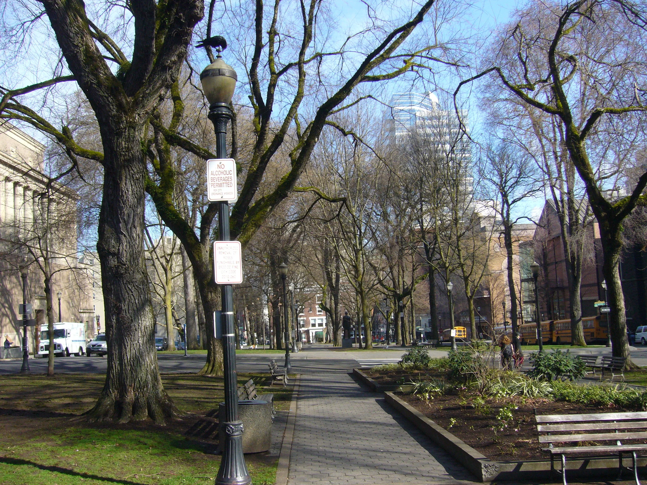
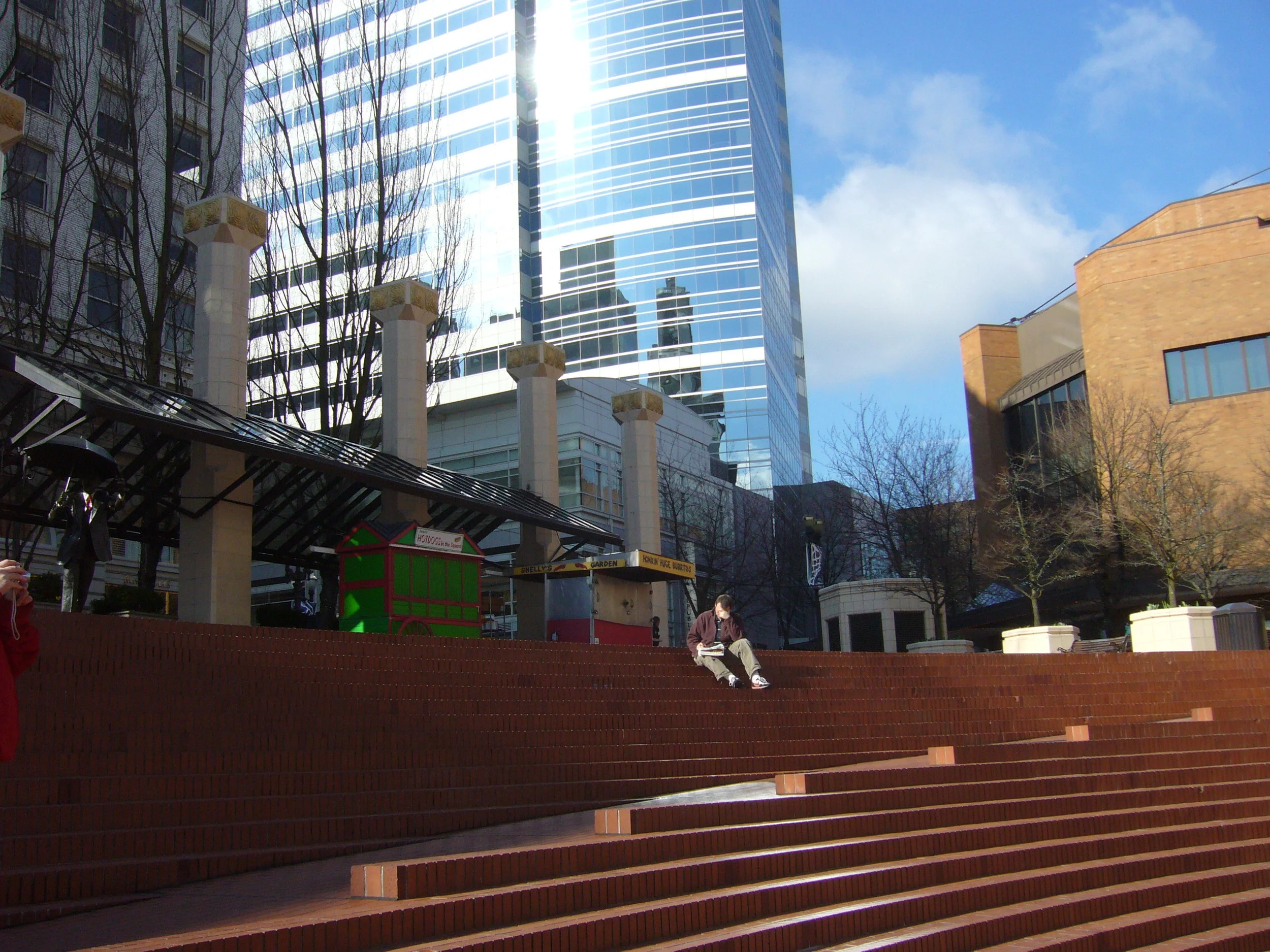
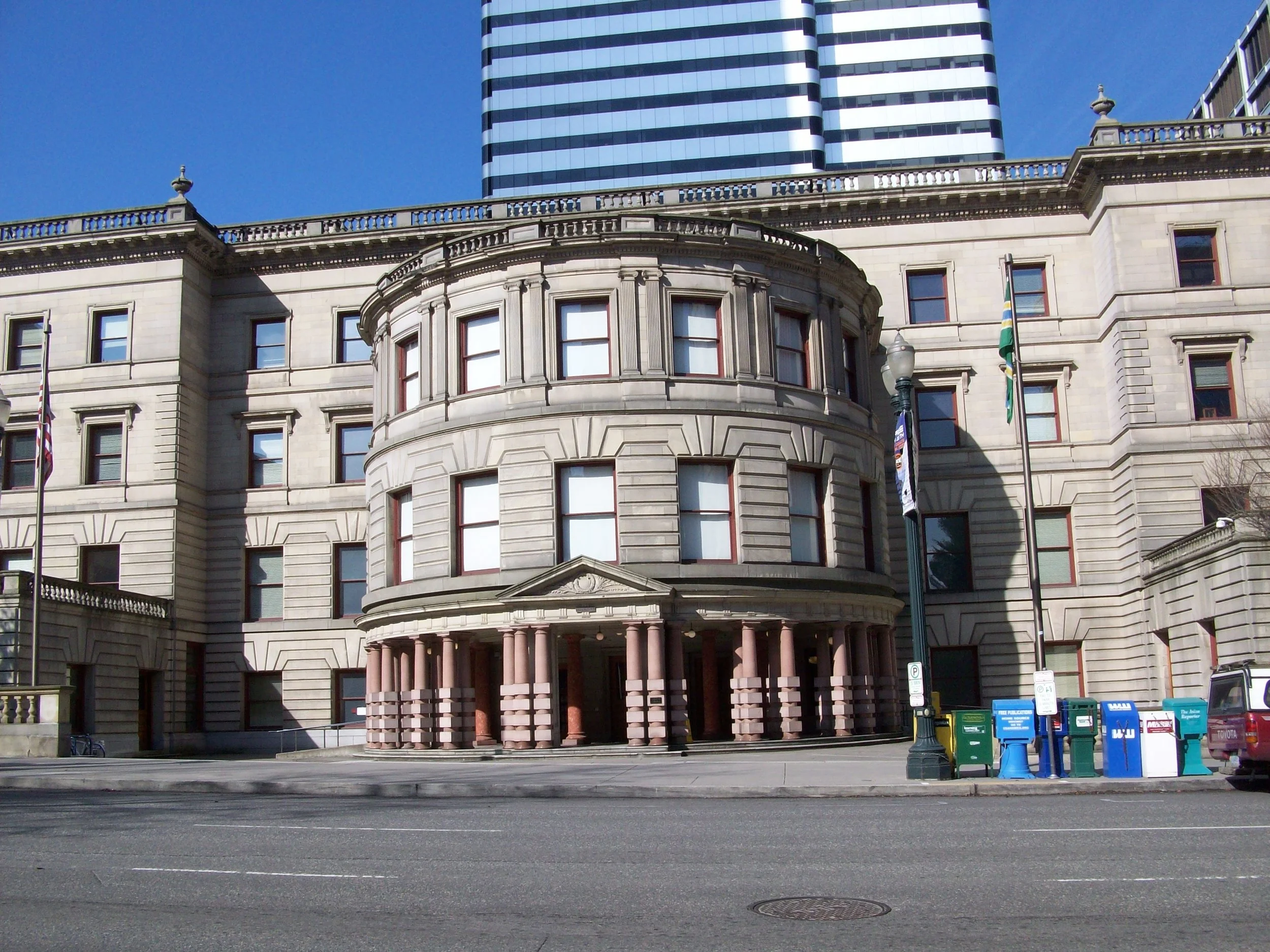
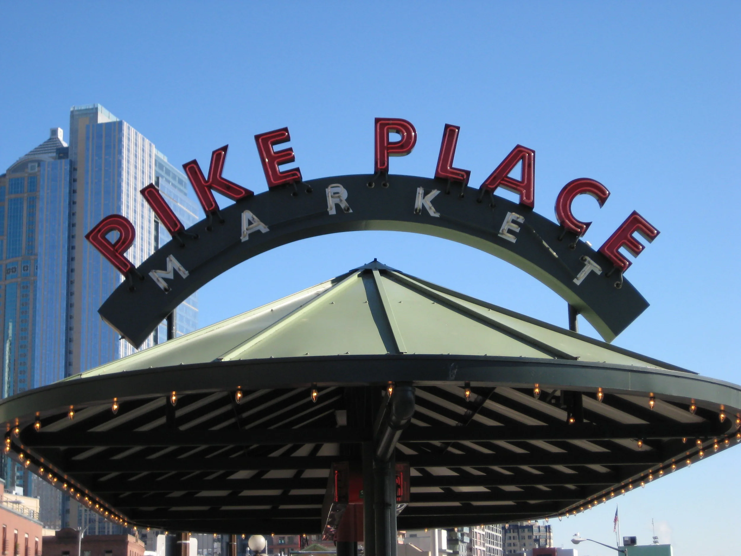
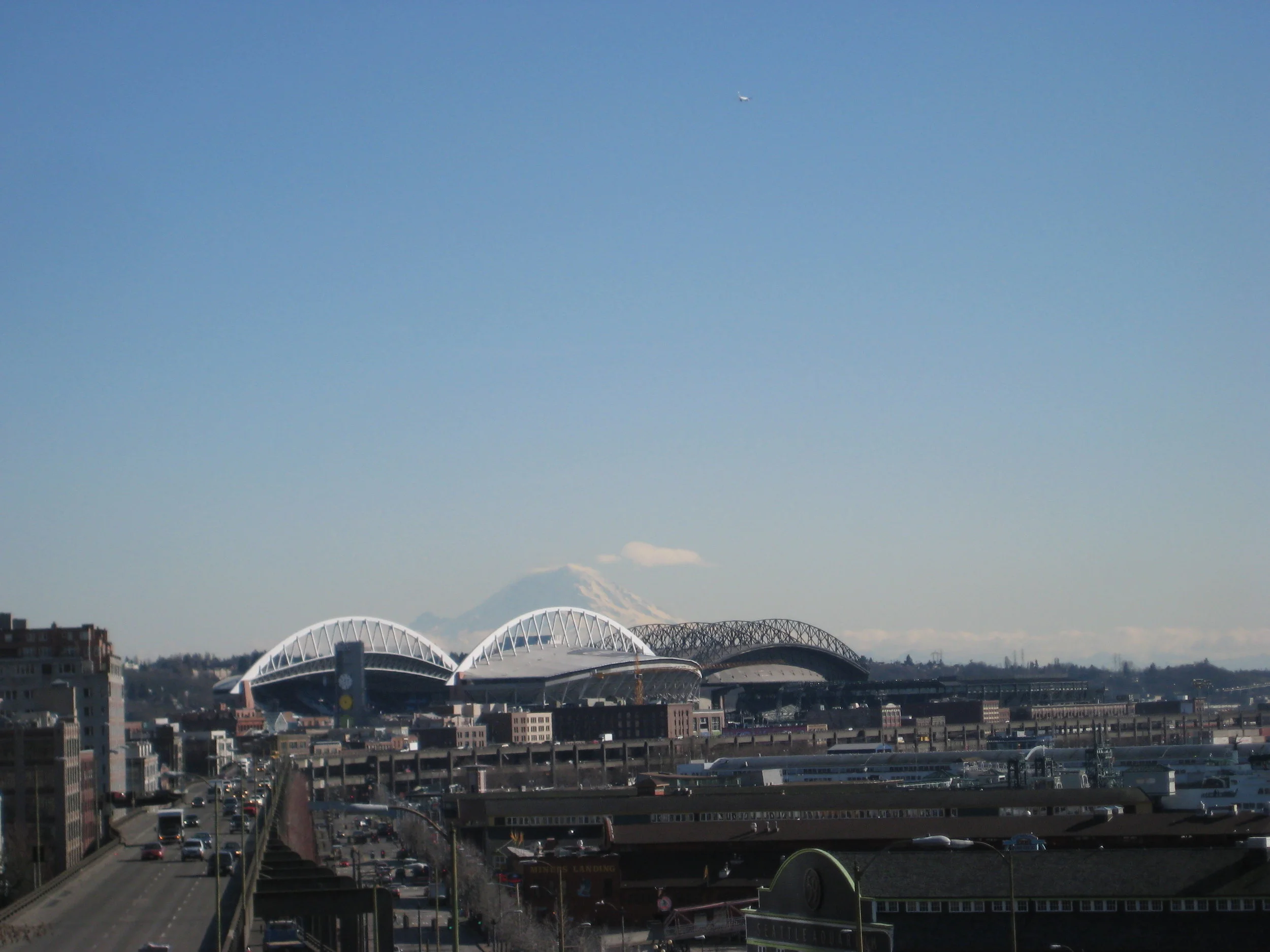
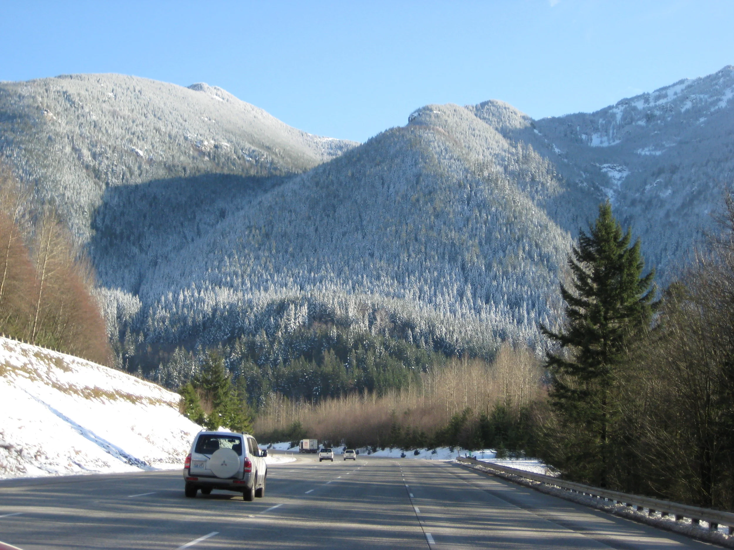
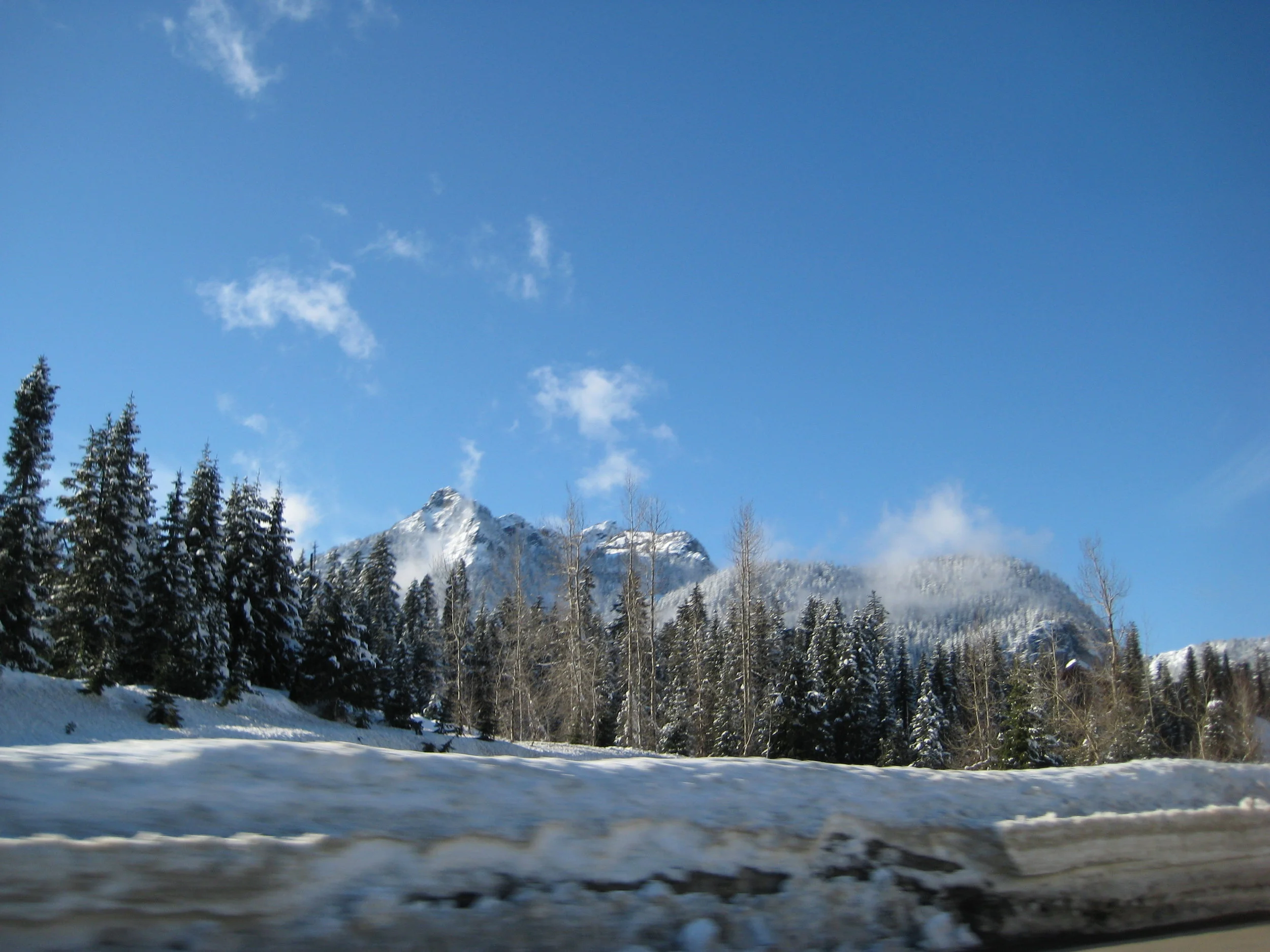
We stayed at a Best Western in Chehalis, WA and enjoyed an evening of hot tubbing and drinks. Do you see a trend yet? We met some random people in the hot tub from Wisconsin who were into solar energy or something which was neat. It’s always fun to run into people from where you are, or in that general area. The next morning we drove south down I-5 to Portland for a quick visit. This was the first time I’d visited Portland and I was already in love with the surrounding area so why not fall in love with a major city too? We parked in Chinatown and walked all over including to Pioneer Square, which is one of the centers of the downtown area. We walked around for a little while before heading back to the freeway north to Seattle. Once back in Seattle, we visited Pike Place Market again before heading east on I-90. The day was sunny and the trees through the Cascades were dusted with a fresh snow. It was one of the most scenic mountain drives we’d had on the trip, making the Rockies look like a sad cousin. We found food at a town in Eastern Washington and moved on through Idaho and into Montana. The snowy weather of Idaho turned into clear skies in Montana with temperatures at or below freezing.
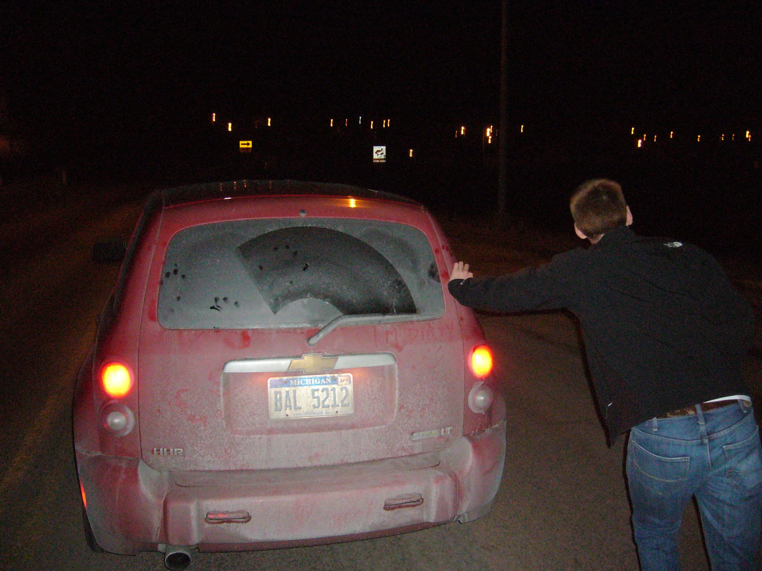
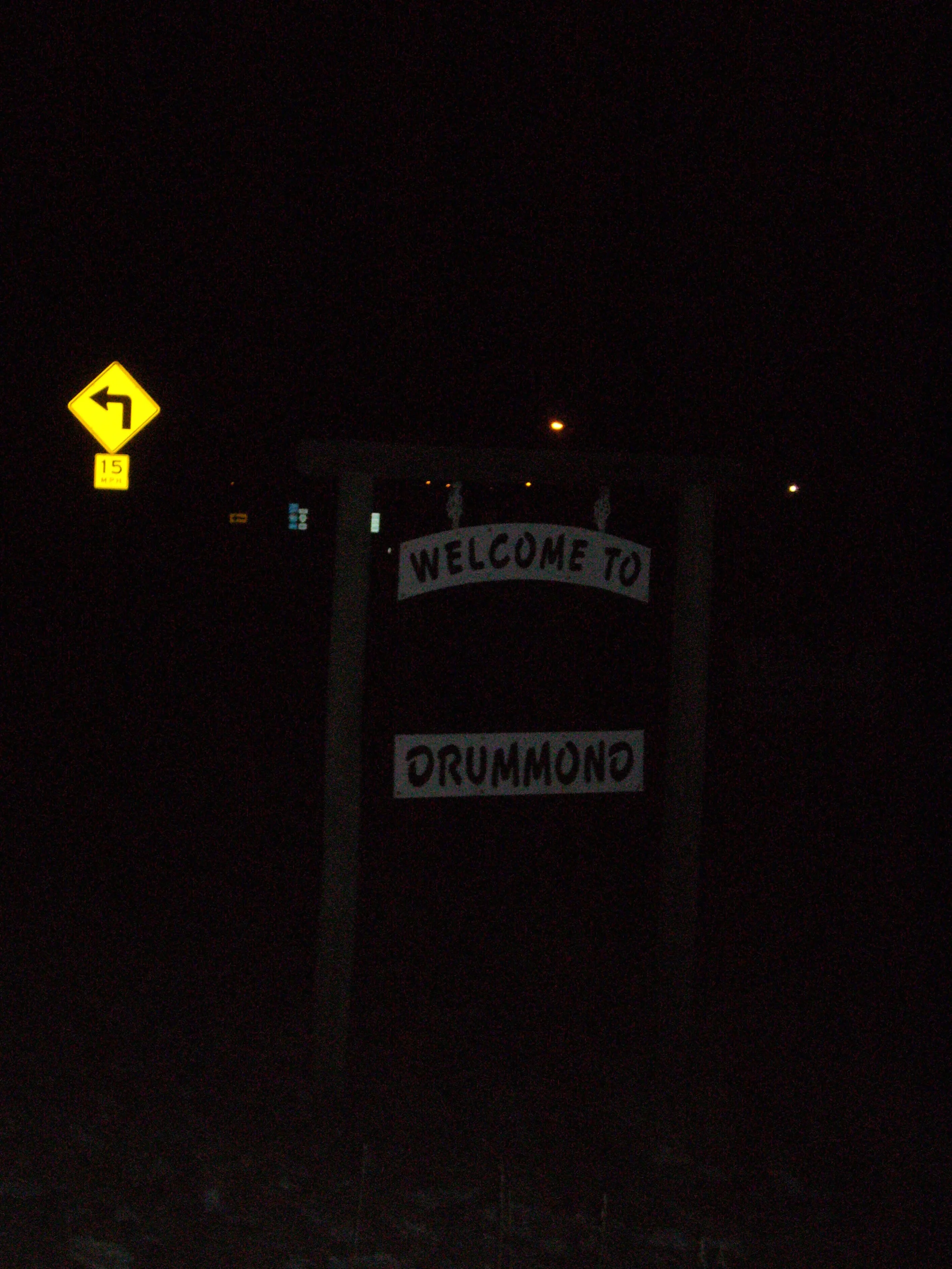
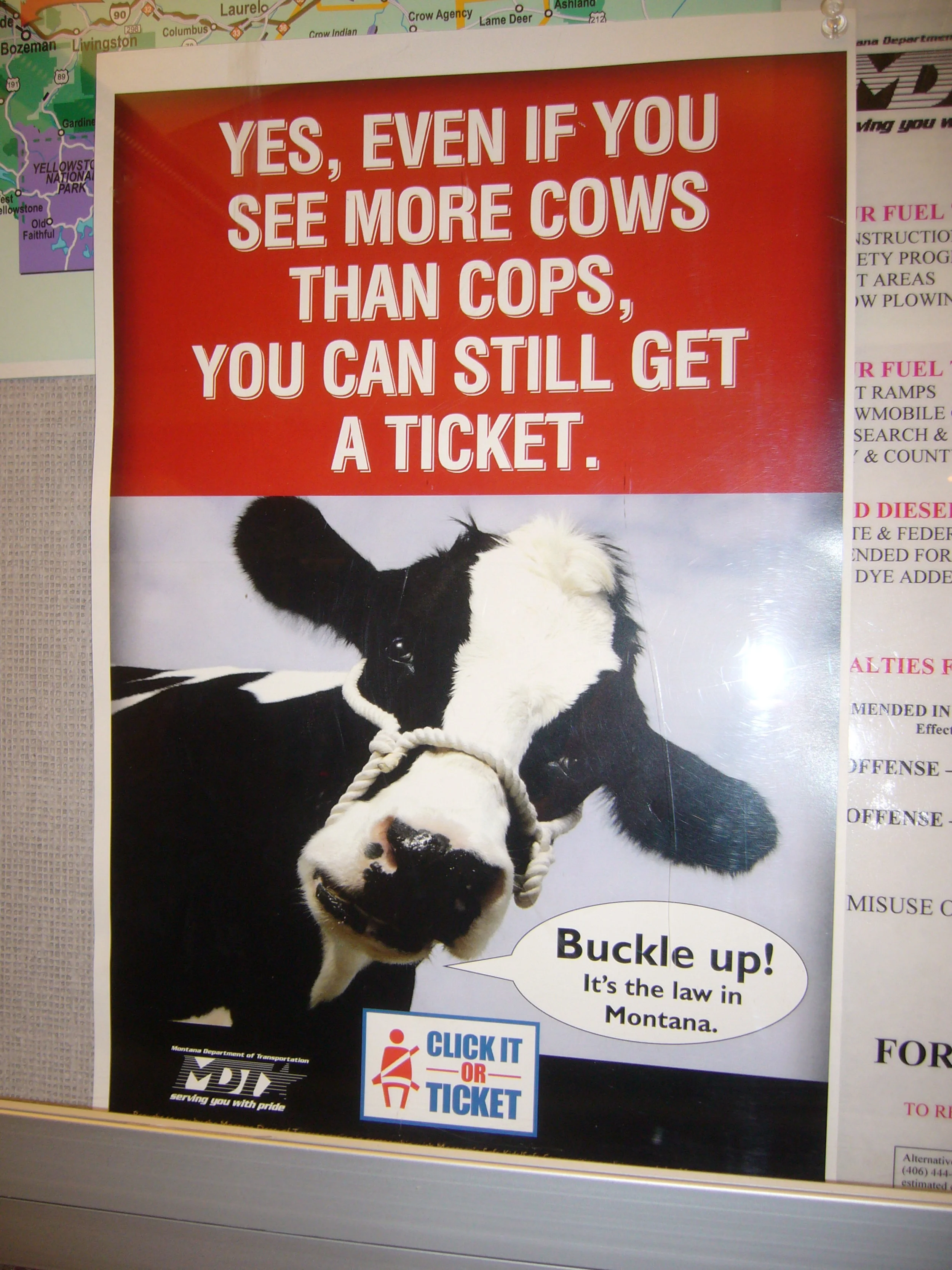
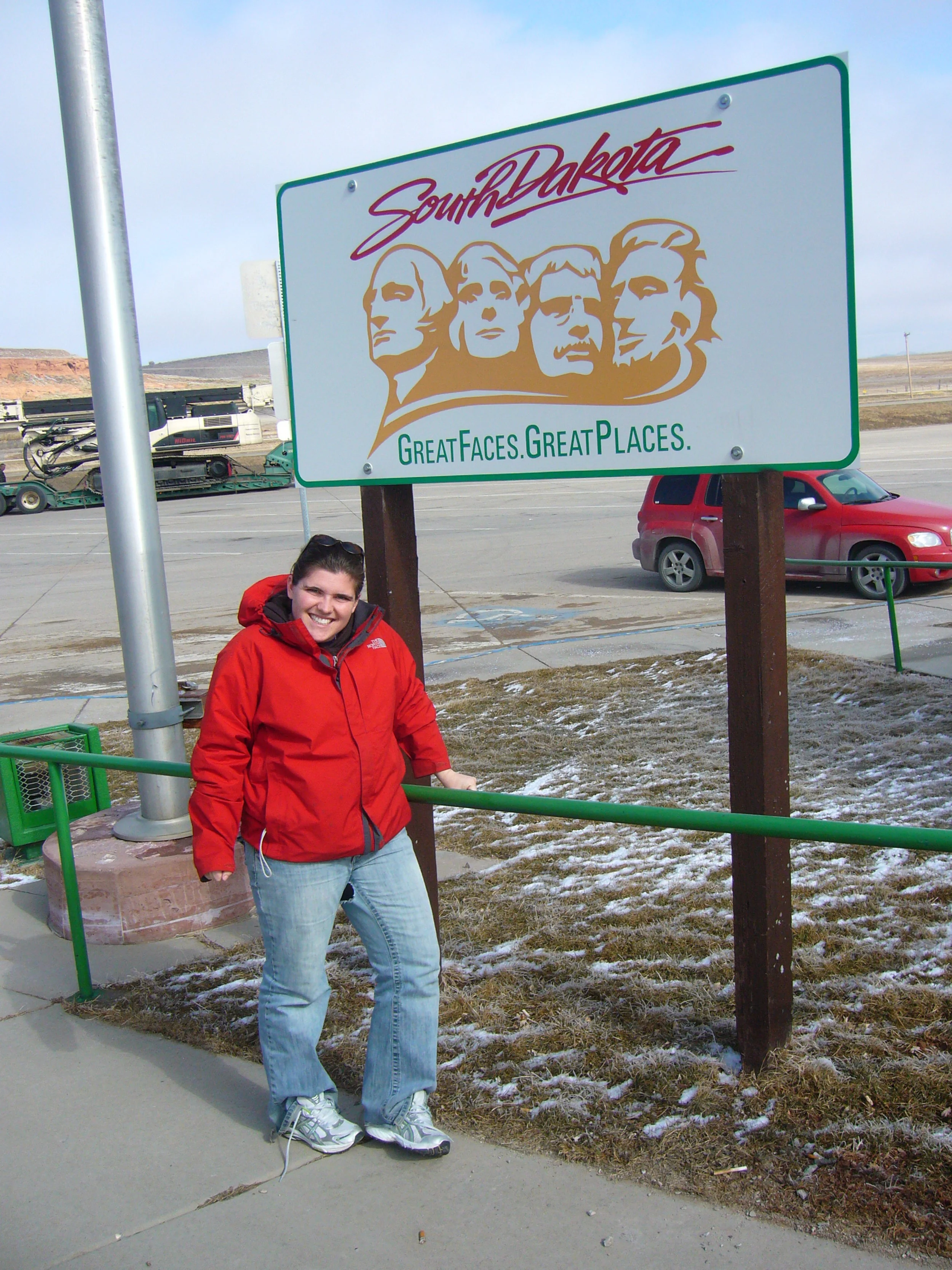
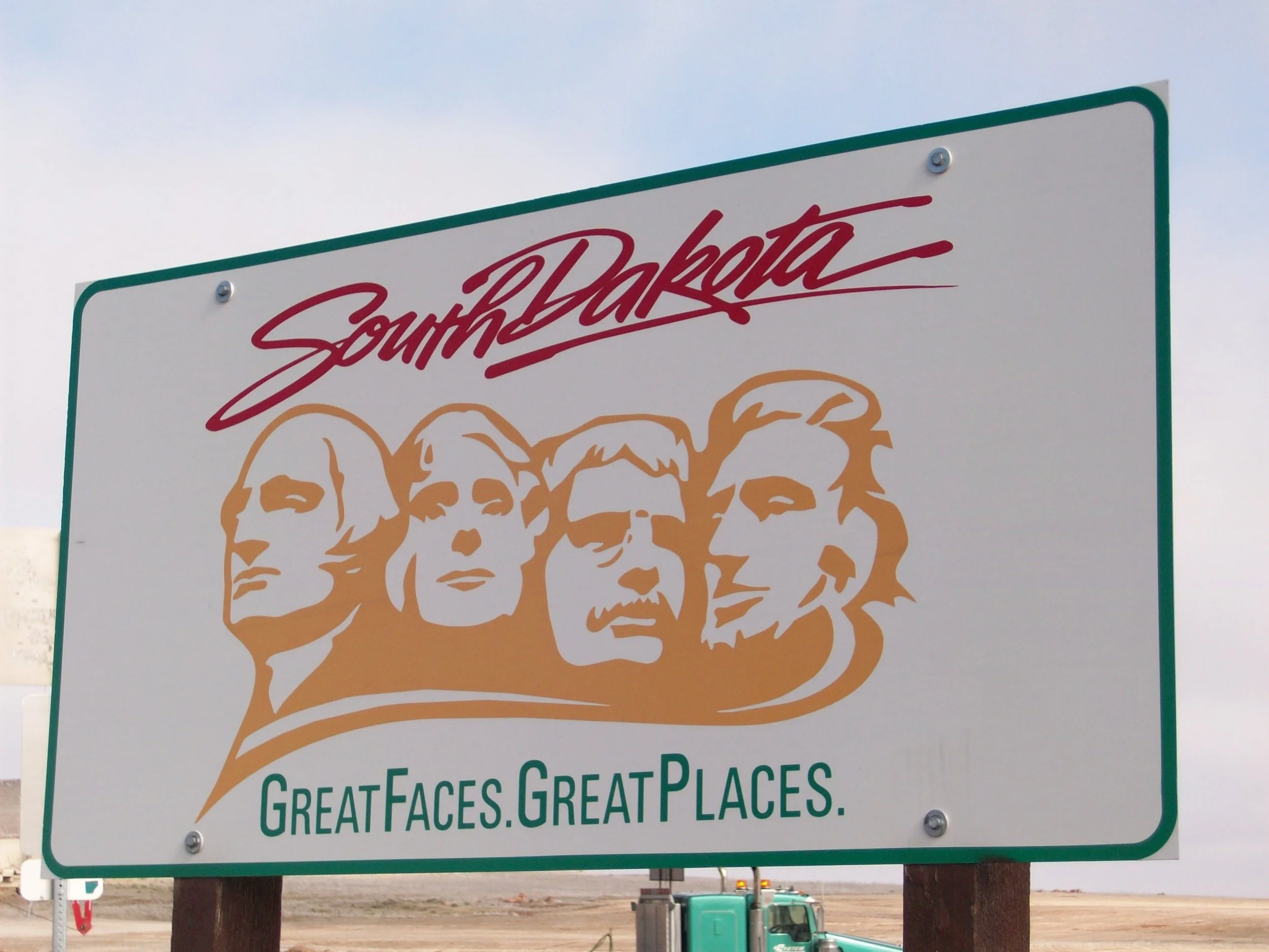
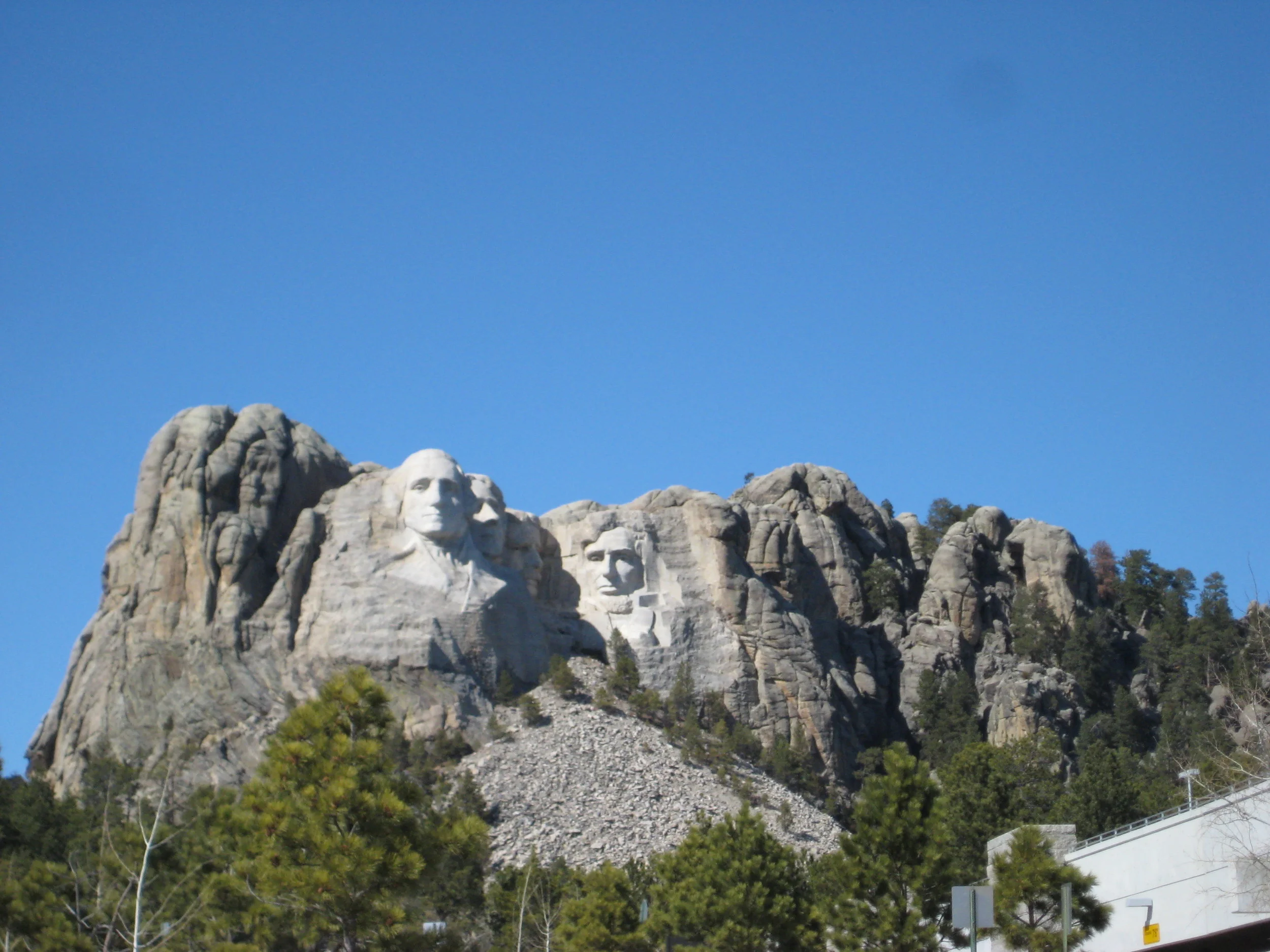
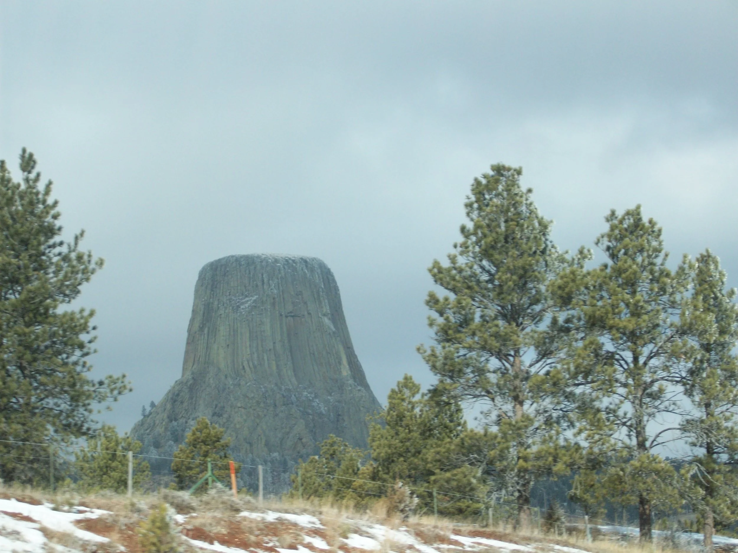
Around midnight, while Kevin and I were resting, we ran out of gas. We were just east of Missoula near Drummond, Montana where Kevin and I pushed that little HHR about a mile down a ramp and service drive into a gas station. We were lucky the pumps were on, filled up, and continued on our way towards Wyoming. We stopped at Devil’s Tour to take a gander at it around 10 AM and pushed onward to Mt. Rushmore. We were getting loopy and saying stupid things at this point due to sleep deprivation - it was time to be home. Mt. Rushmore was a bust, and we all concluded it was bigger in the movies so we kept driving. Now, I don’t know if it looks better in a close up fashion, but it really doesn’t interest me to find out. Overall, we were not impressed with South Dakota on this day because of general tiredness and not much to see along the freeway. I’m sure if we had time to explore, it wouldn’t have been so bad, but we were driving fast and avoiding stops to get through. I noted in our travel log that the cows of South Dakota do not appear as happy as the cows in California. We stopped at a Culver’s in Sioux Falls for dinner, though, so that was cool. We crossed the Mississippi River around midnight and made our way home uneventfully from there. Whenever we return the rental car from one of these trips, the people always ask if one person put on all of these miles and we always lie, smile, and say of course.
FINAL THOUGHTS
Part three included some of my favorite memories from any road trip taken at the time. We went from snowstorms in the Rocky Mountains to freezing in the desert to a gloomy west coast and back. We had moments of sunshine which is a metaphor for the trip. Nothing is perfect and not everyone can hold their most positive attitude, but we pushed through and made the best of everything. We saw some spectacular views and have so many memories that I often think about to this day. I learned a lot of tricks from Molly about clever ways to remember things from the trip like taking photos of campsite posts and signs as well as restaurants and information boards. Part three included less overall photos than 2008, but had more thoughtful photos and painted a better overall picture of the trip. We had a better, more detailed travel log which really helps me remember funny moments or little details a lot easier. This was the last year for being under 25 so we had that to look forward for future car rentals and road trips. It was amazing to share the road with my best friends and spend quality time exploring the United States. “The United States is big” is one quote from Kevin I have when he was very overtired and as silly as it was, it’s the truth. We drove nearly 7000 miles and only saw bits and pieces. These trips always leave me wanting more, which is why next week I'll highlight the fourth adventure in this series. After the fourth road trip, things changed and we grew as people and moved on in life. Come back next week for part four!
Mike’s Highlights:
Camping in Arches
Driving through Monument Valley
Camping in along the Loneliest Road in America
Viewing the Lost Coast of California
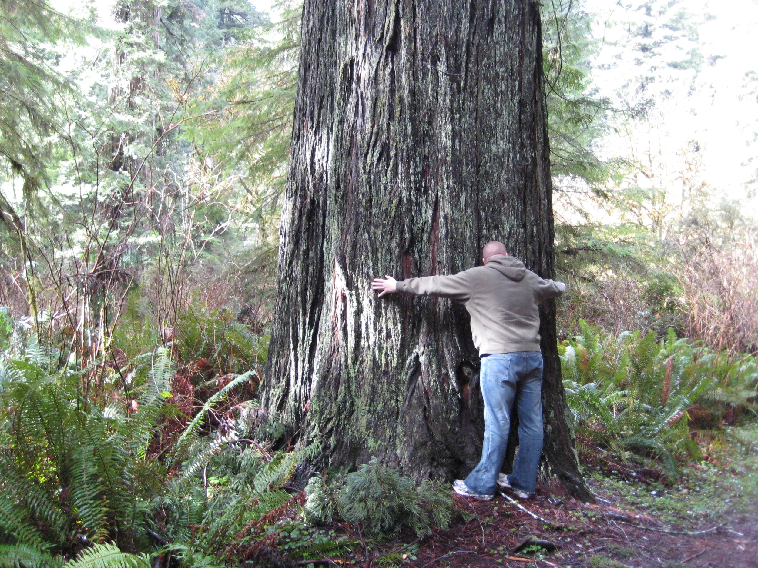
Hugging a Redwood
Hiking Cape Flattery
Seeing Portland, OR