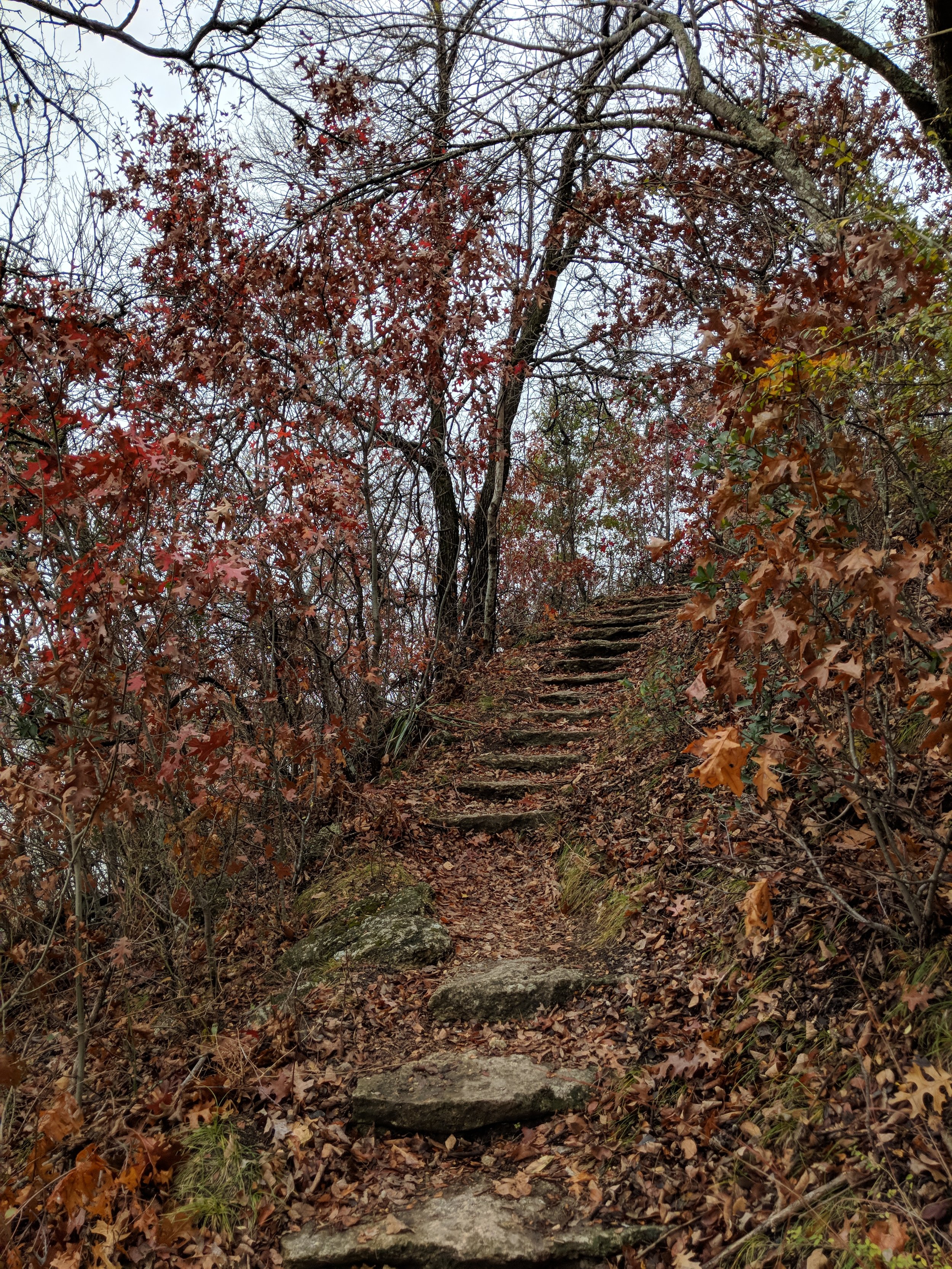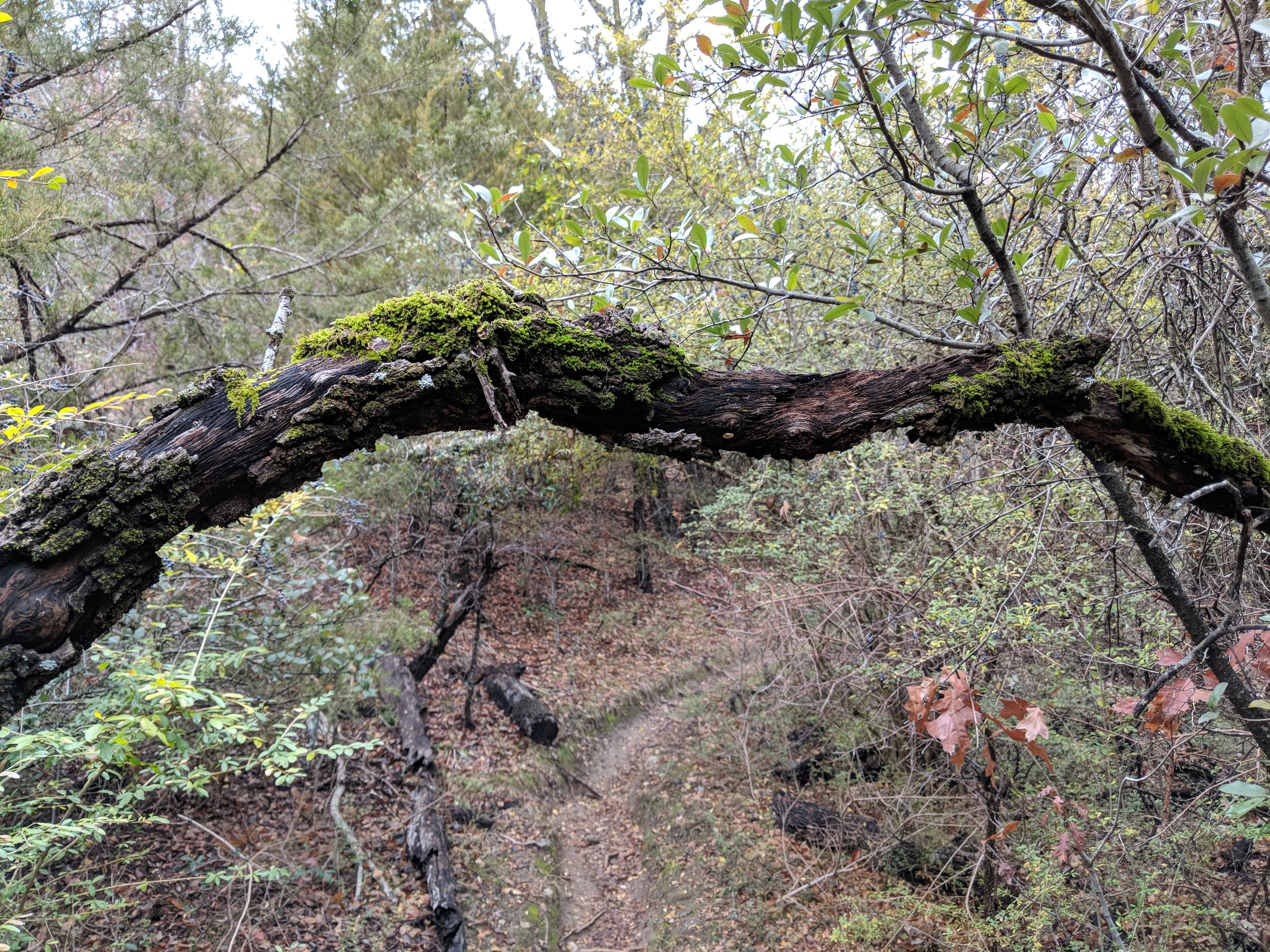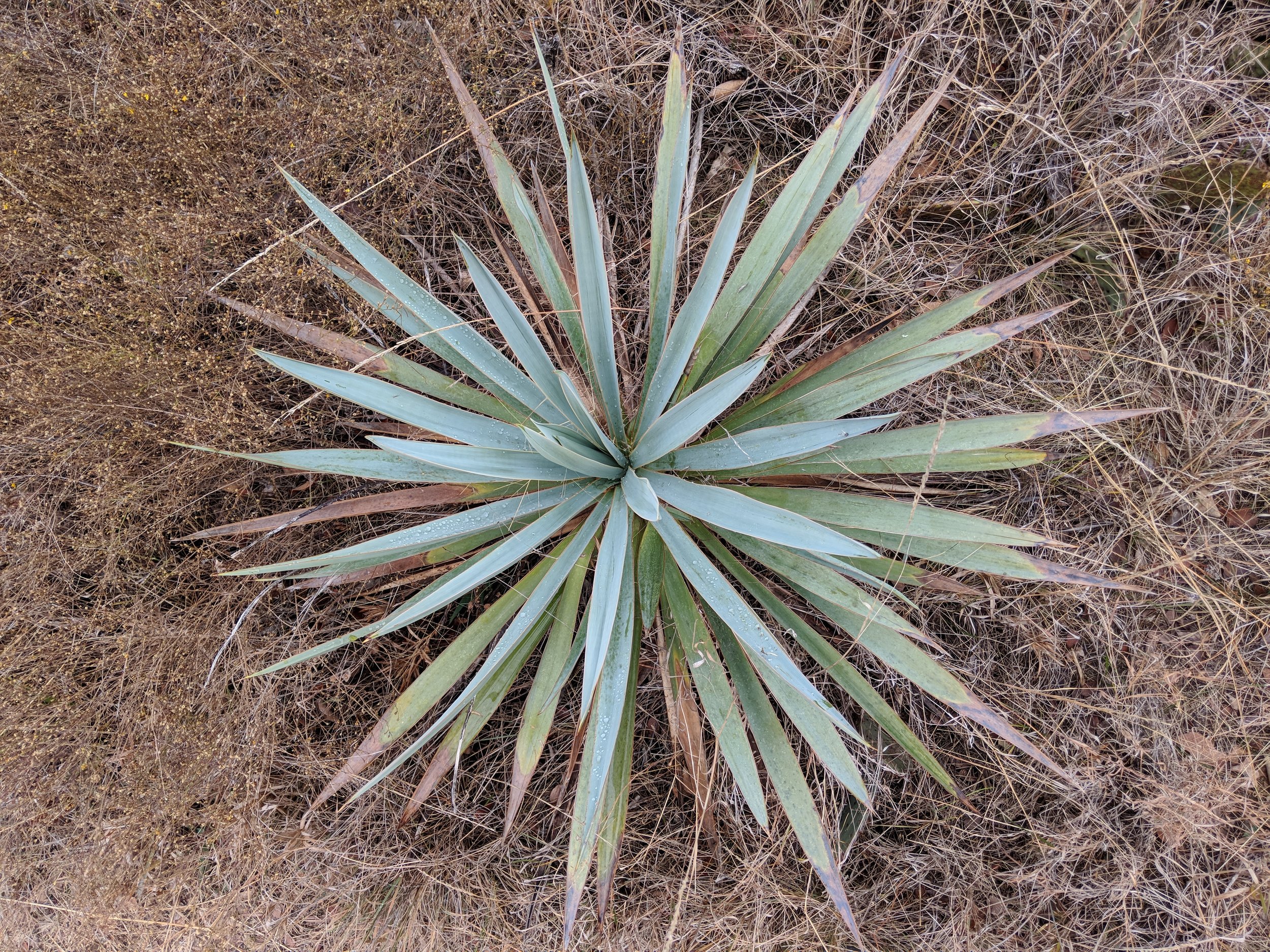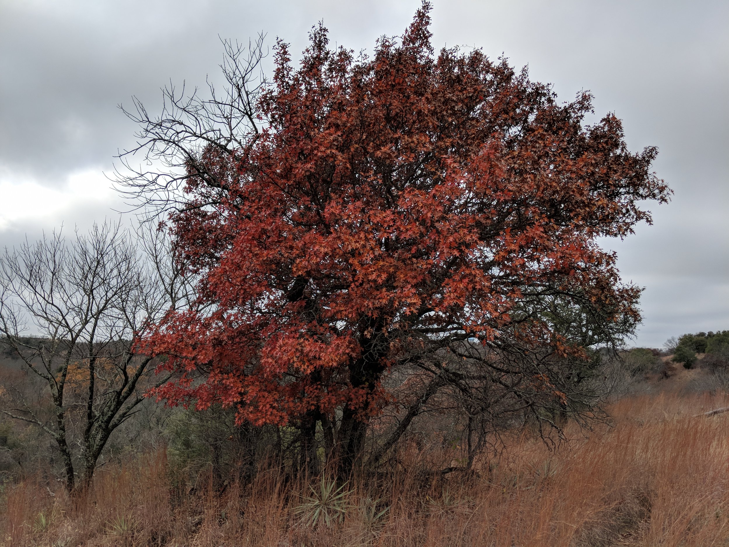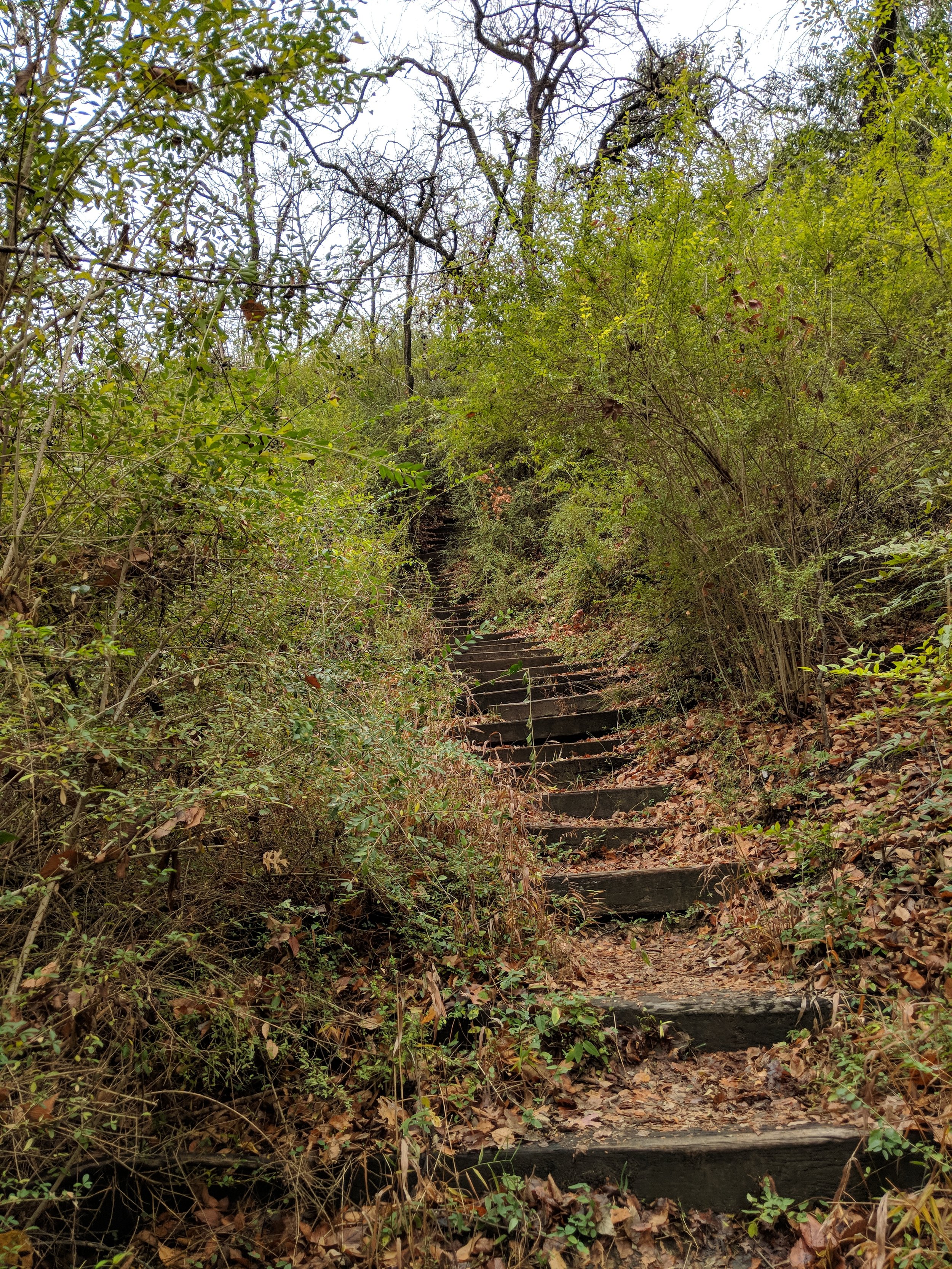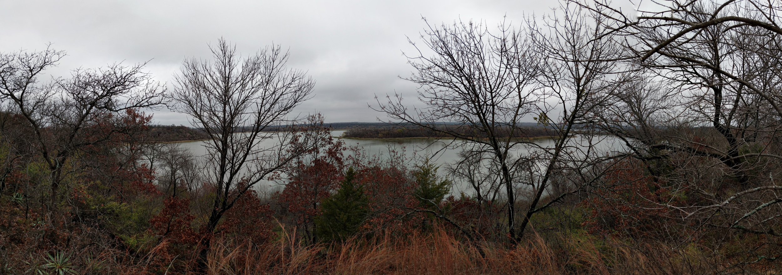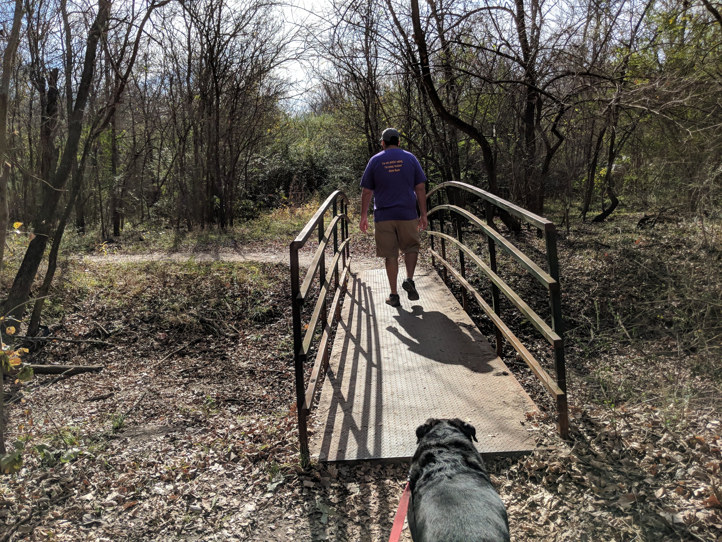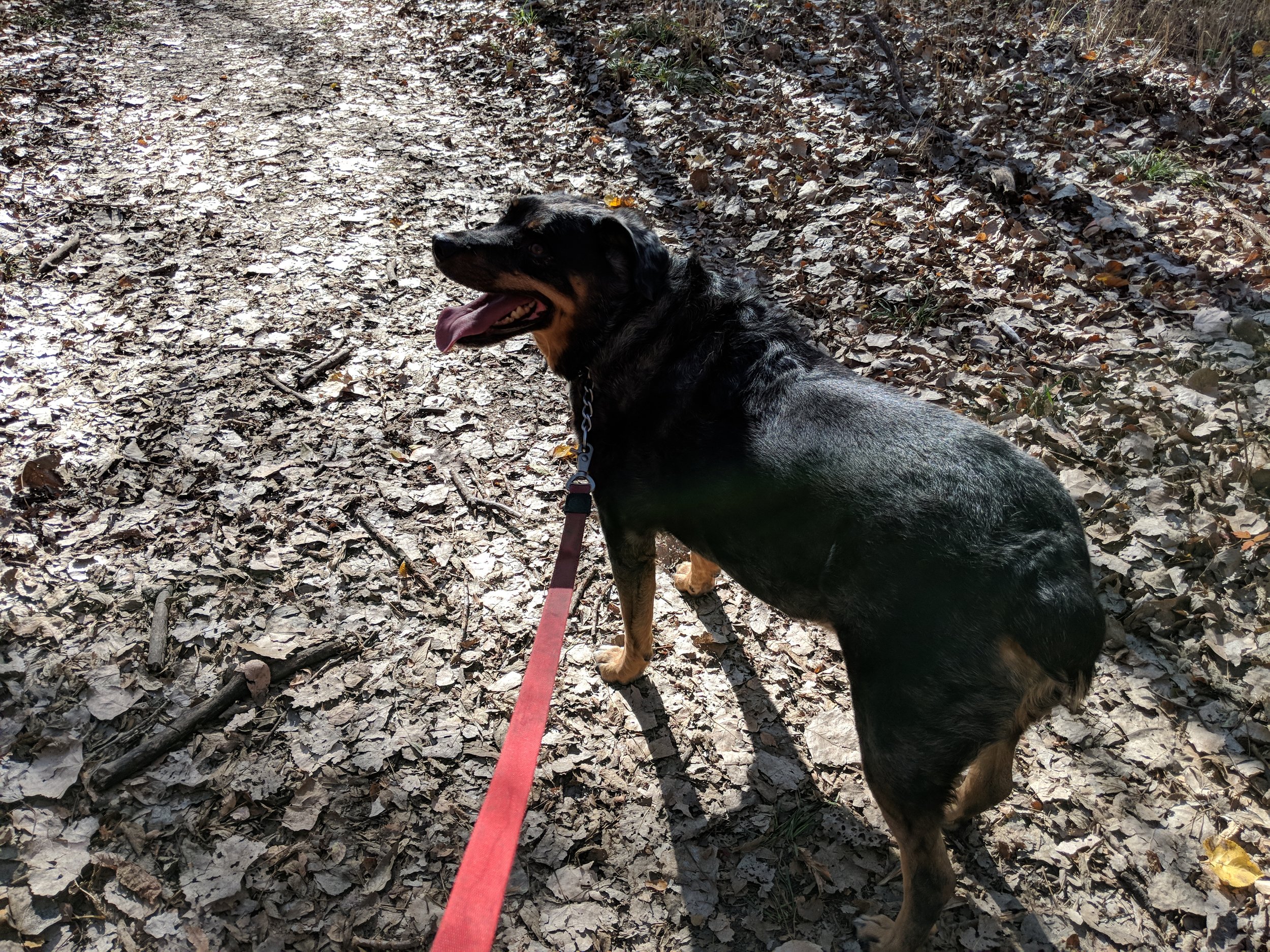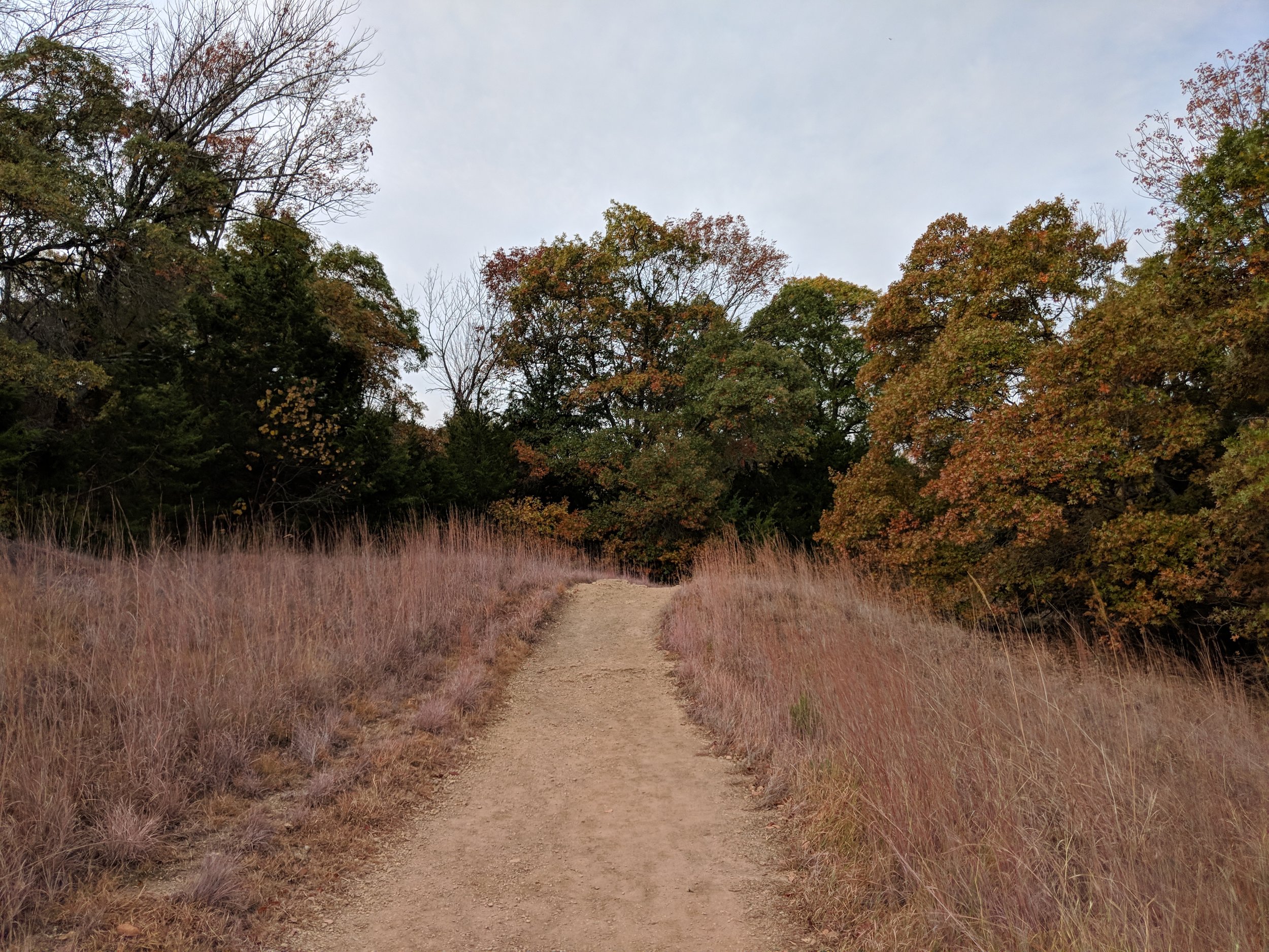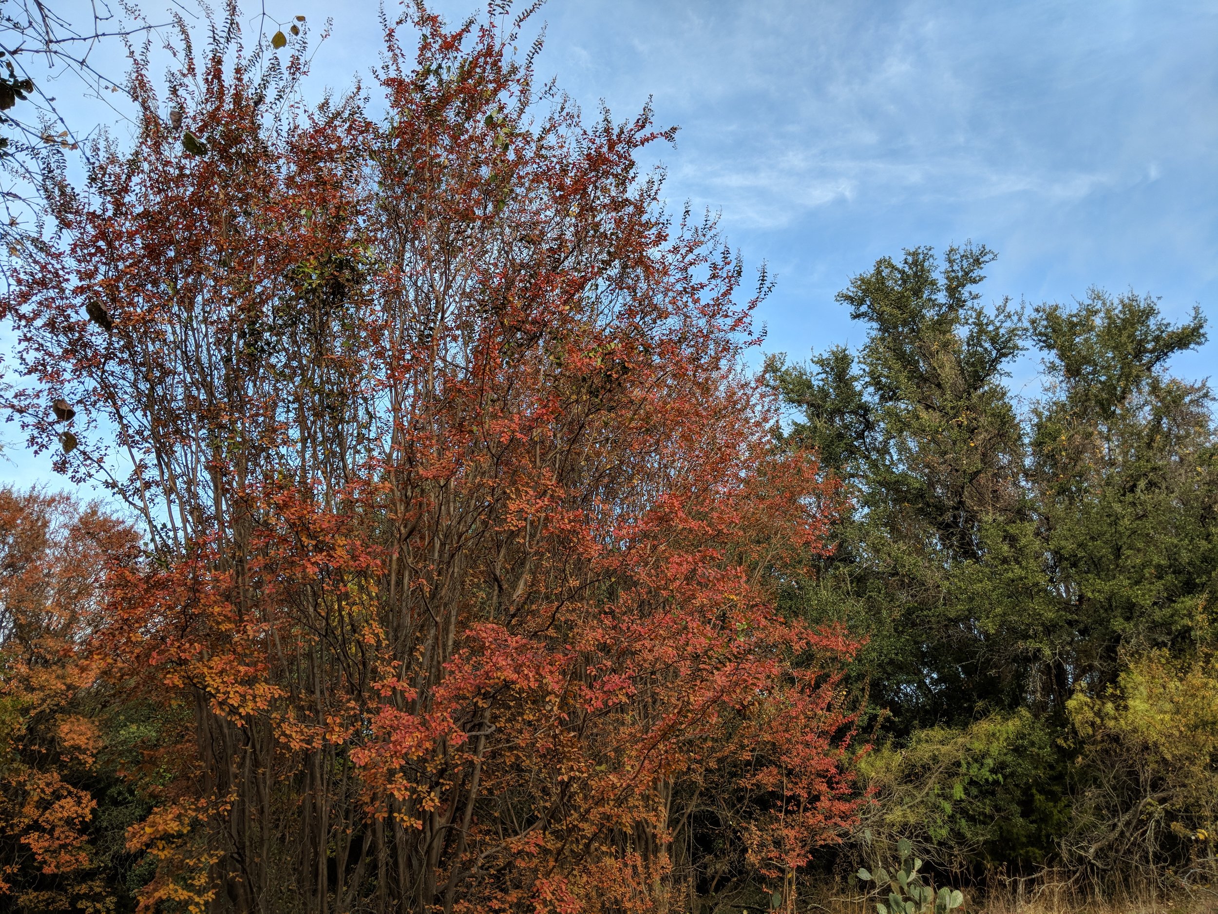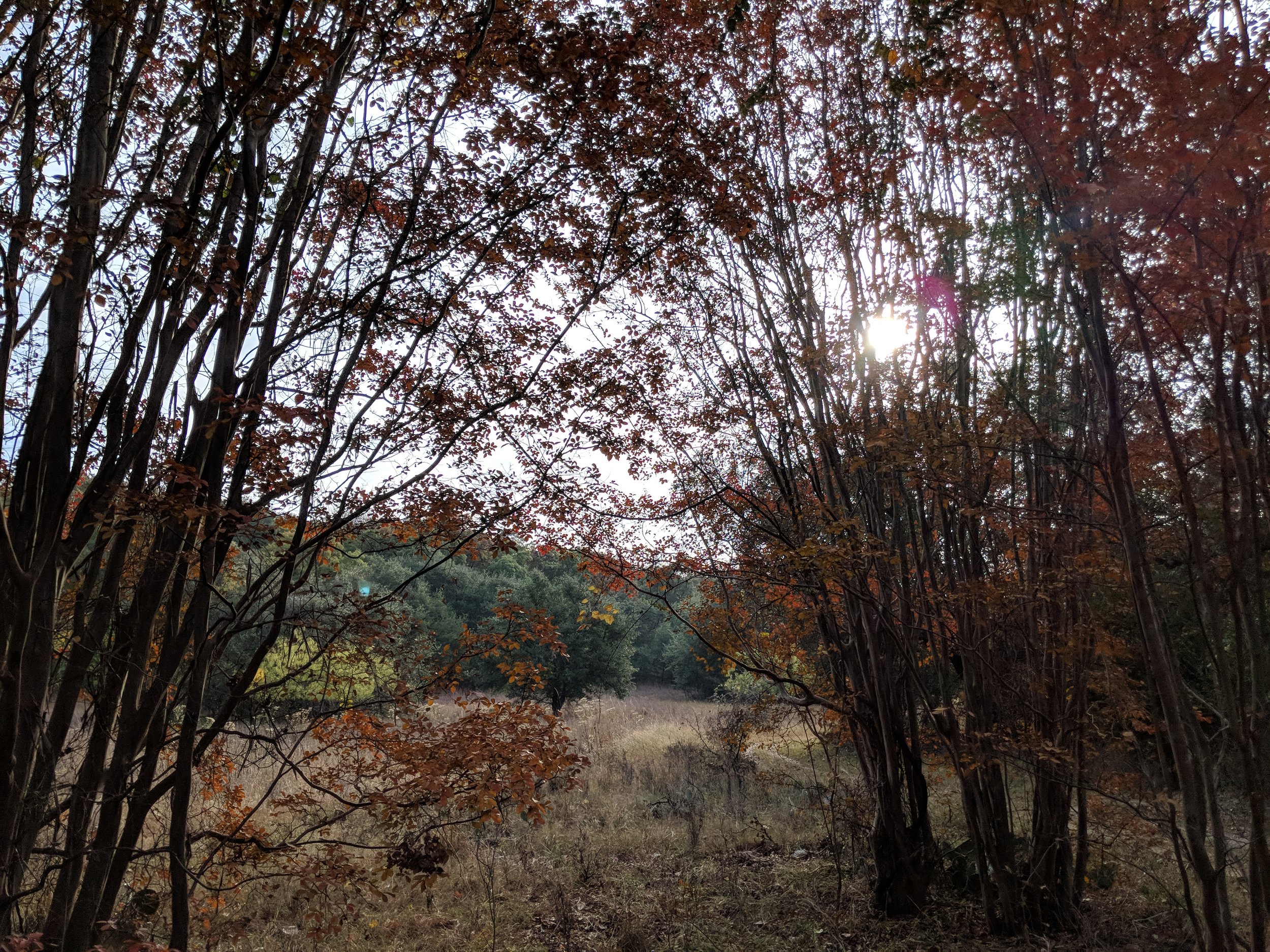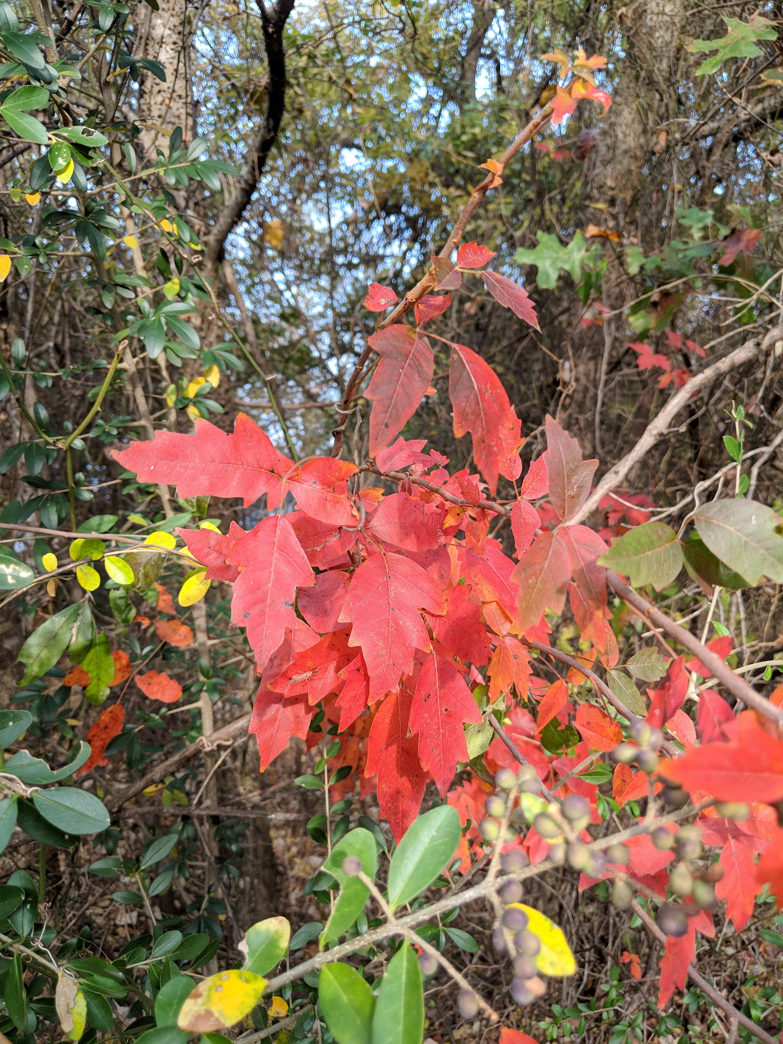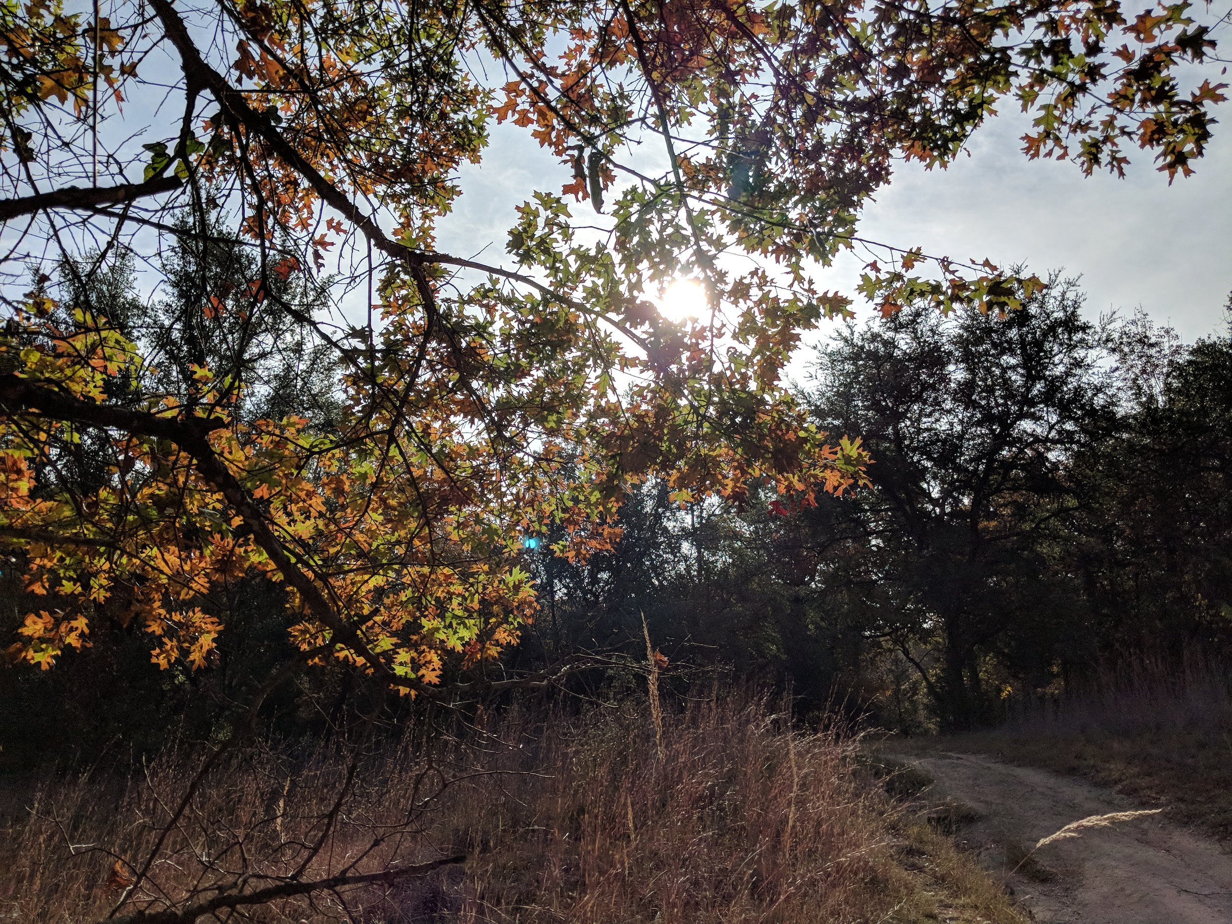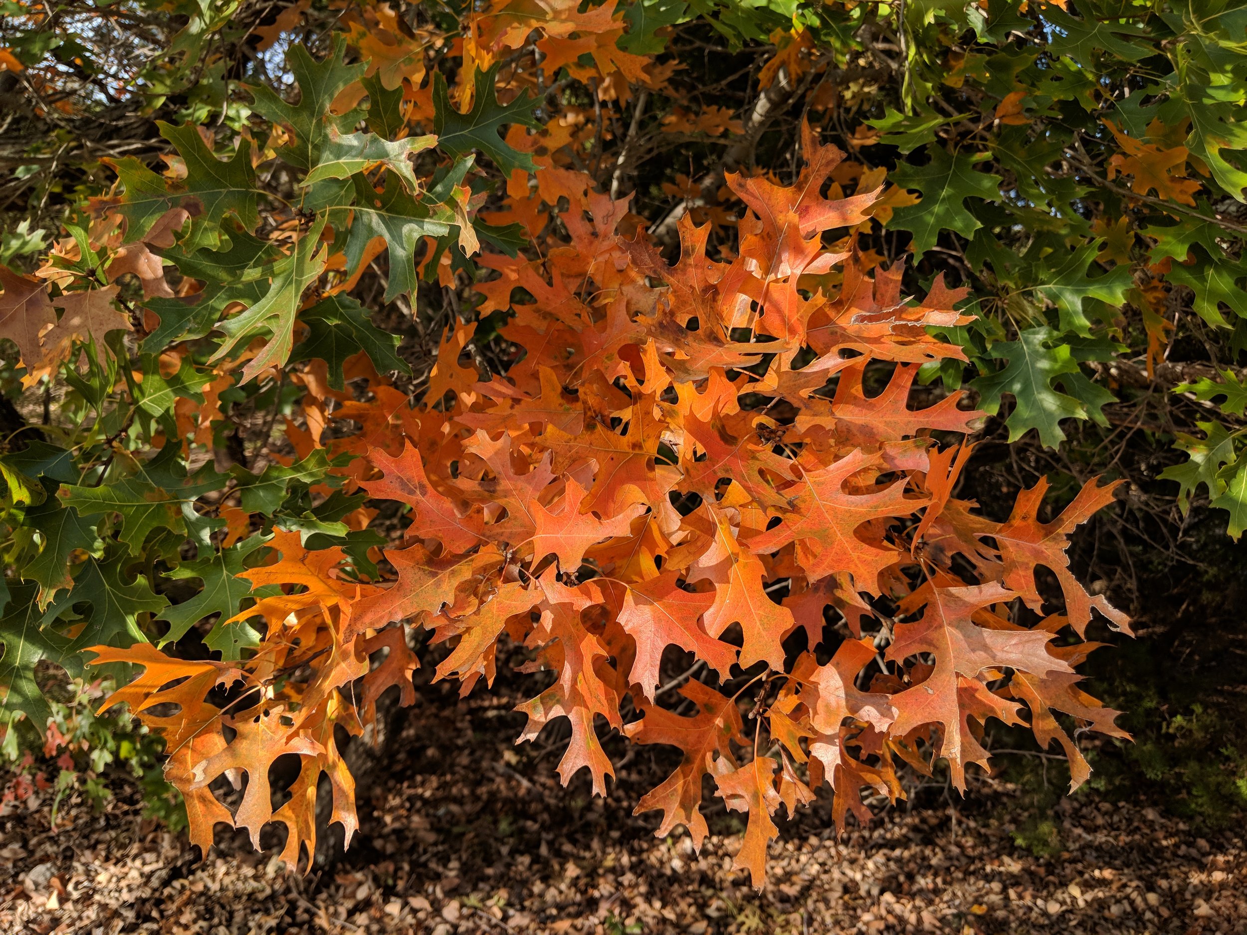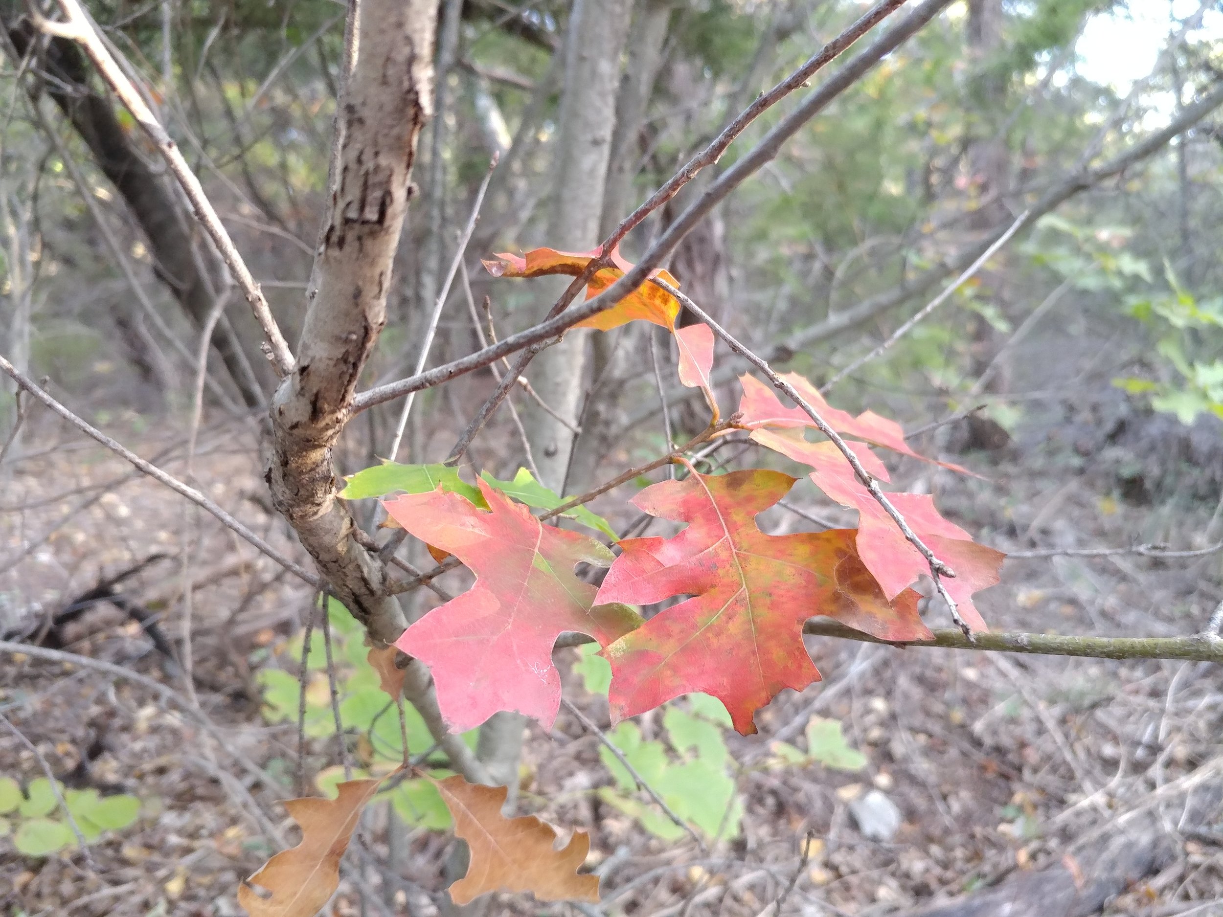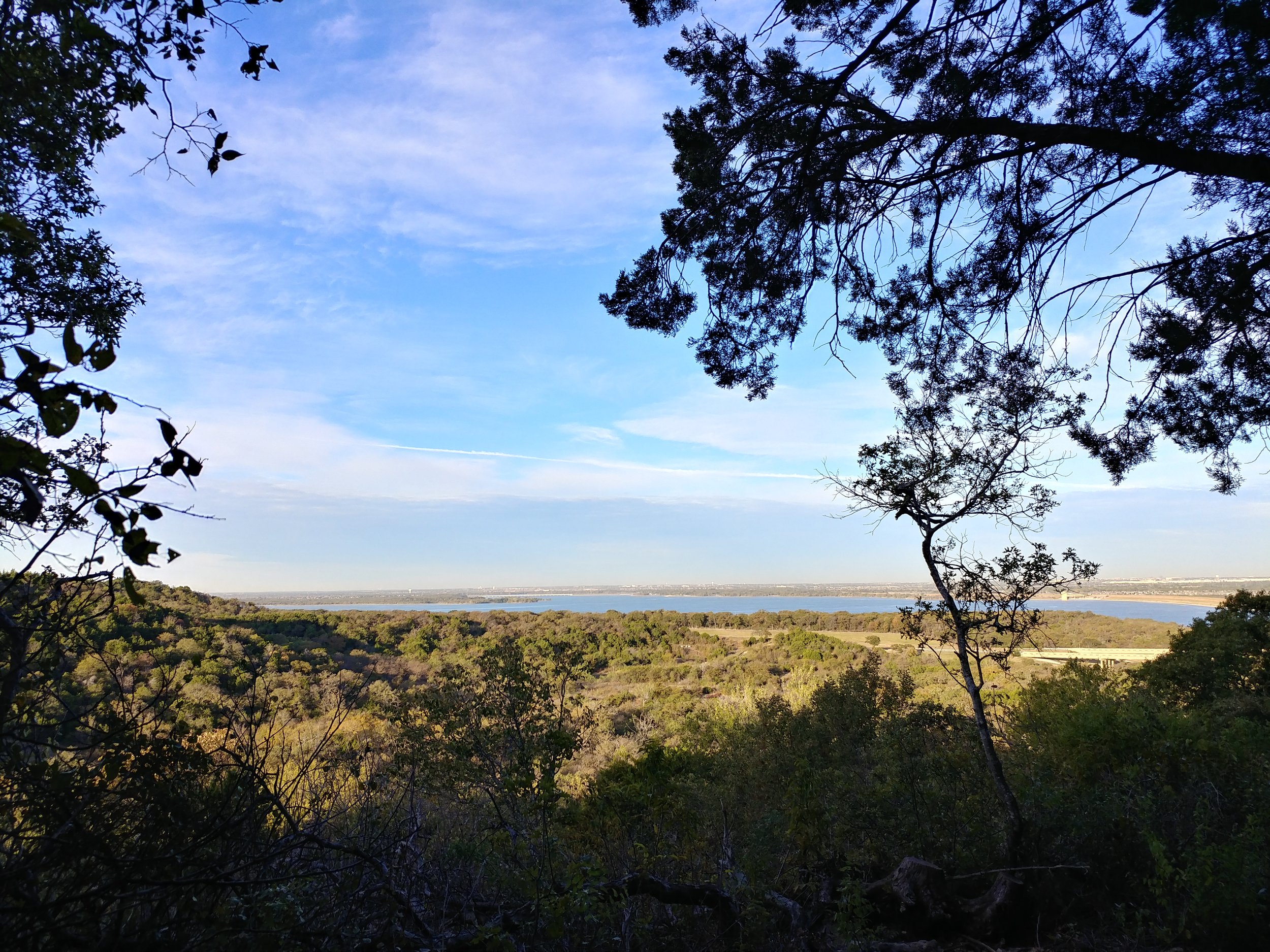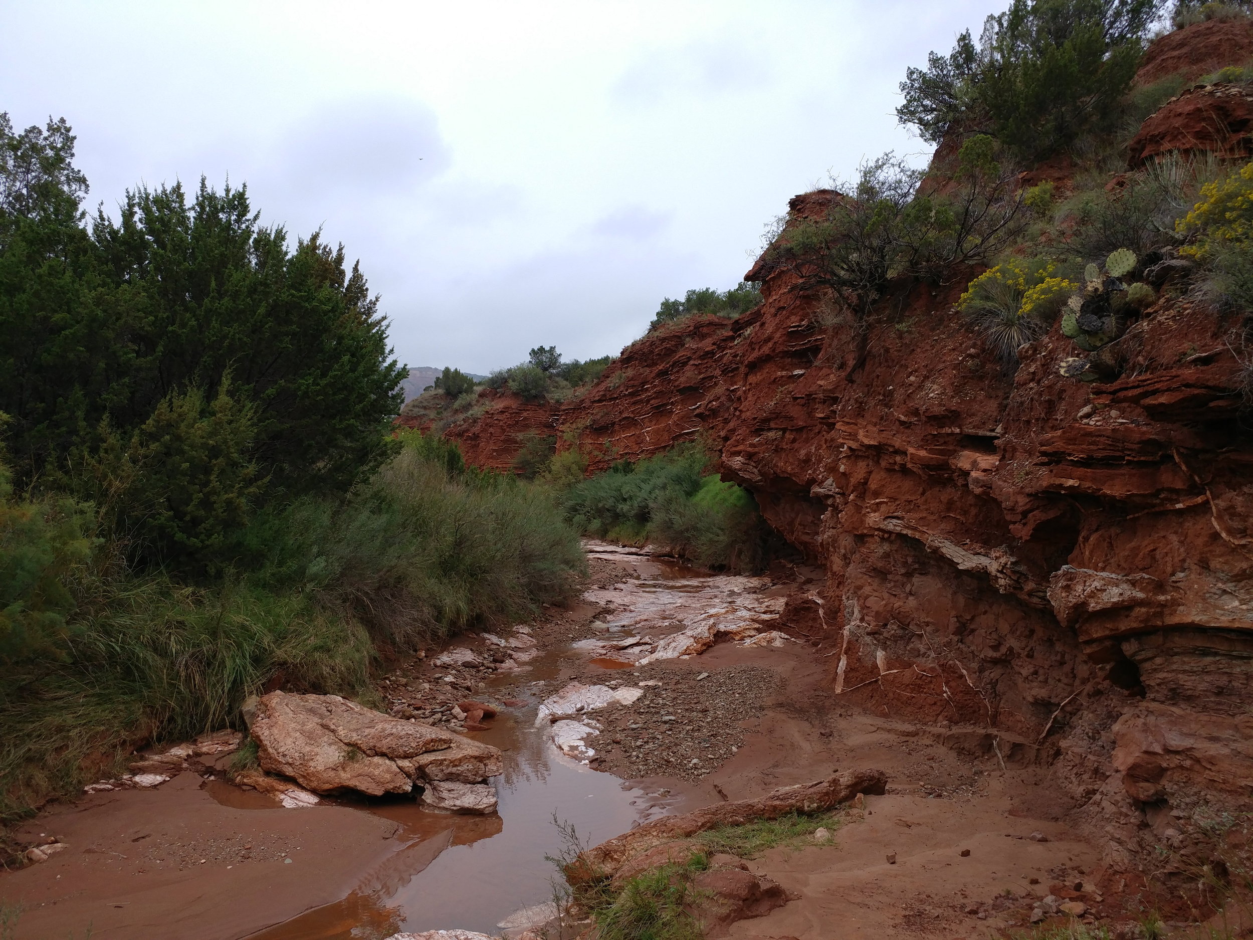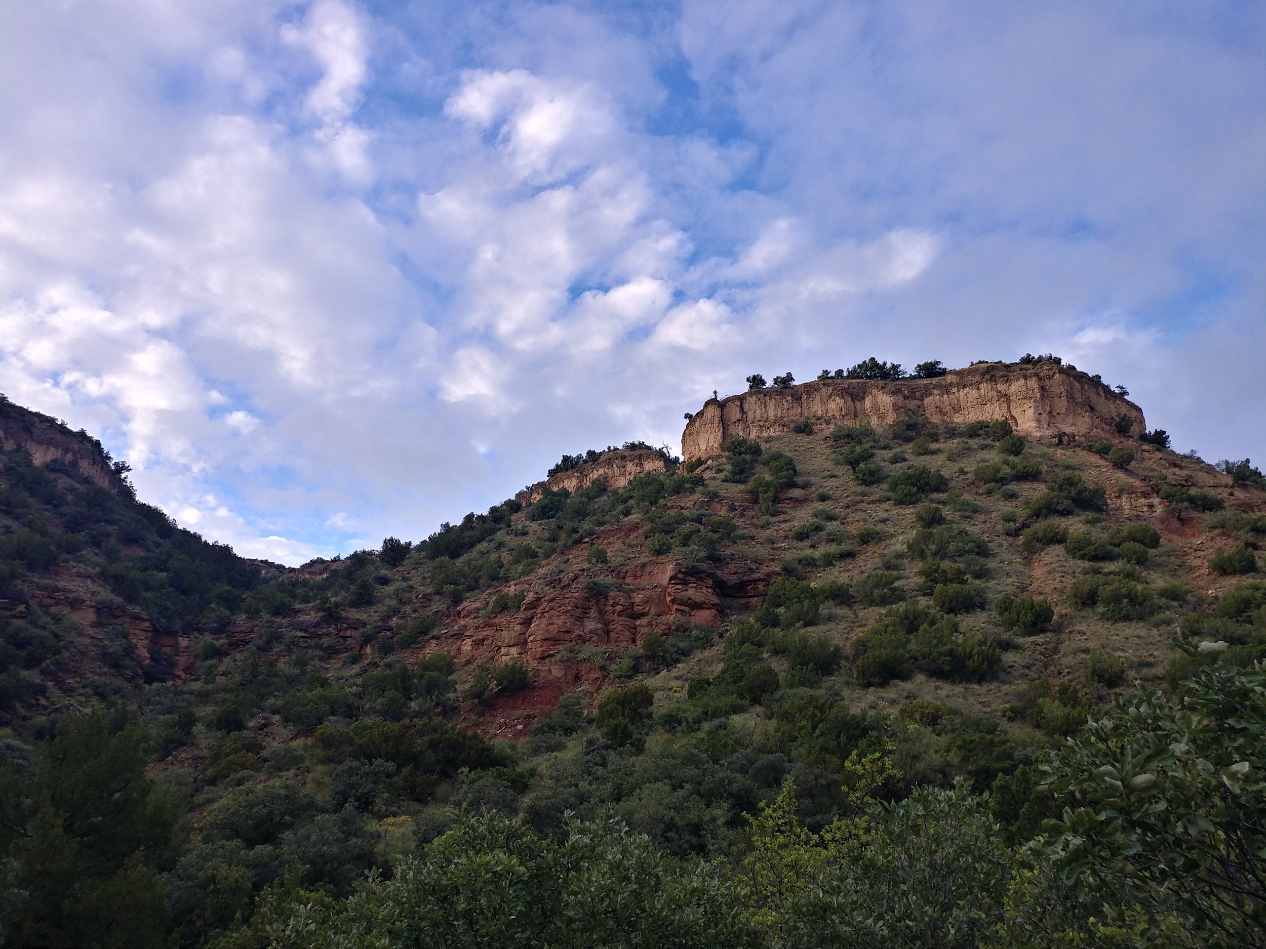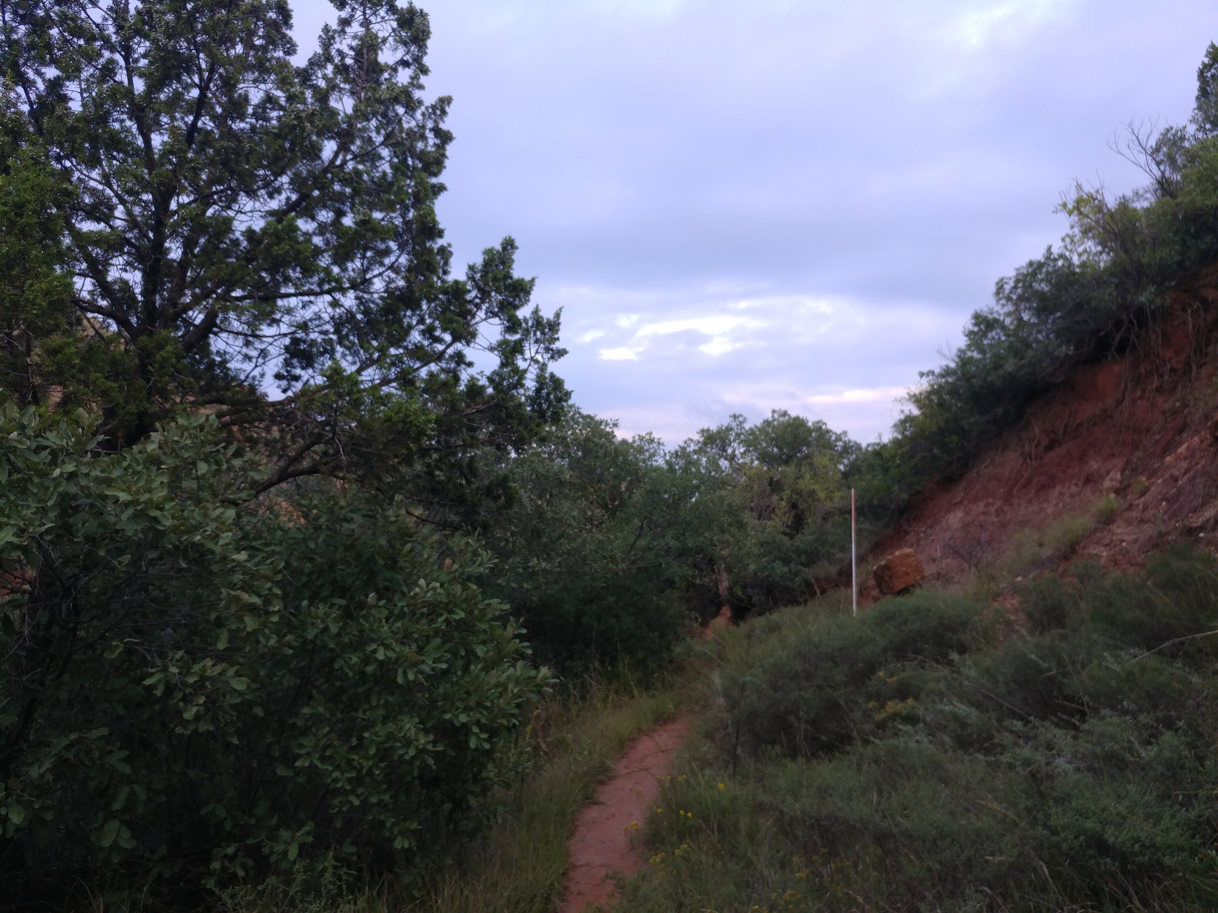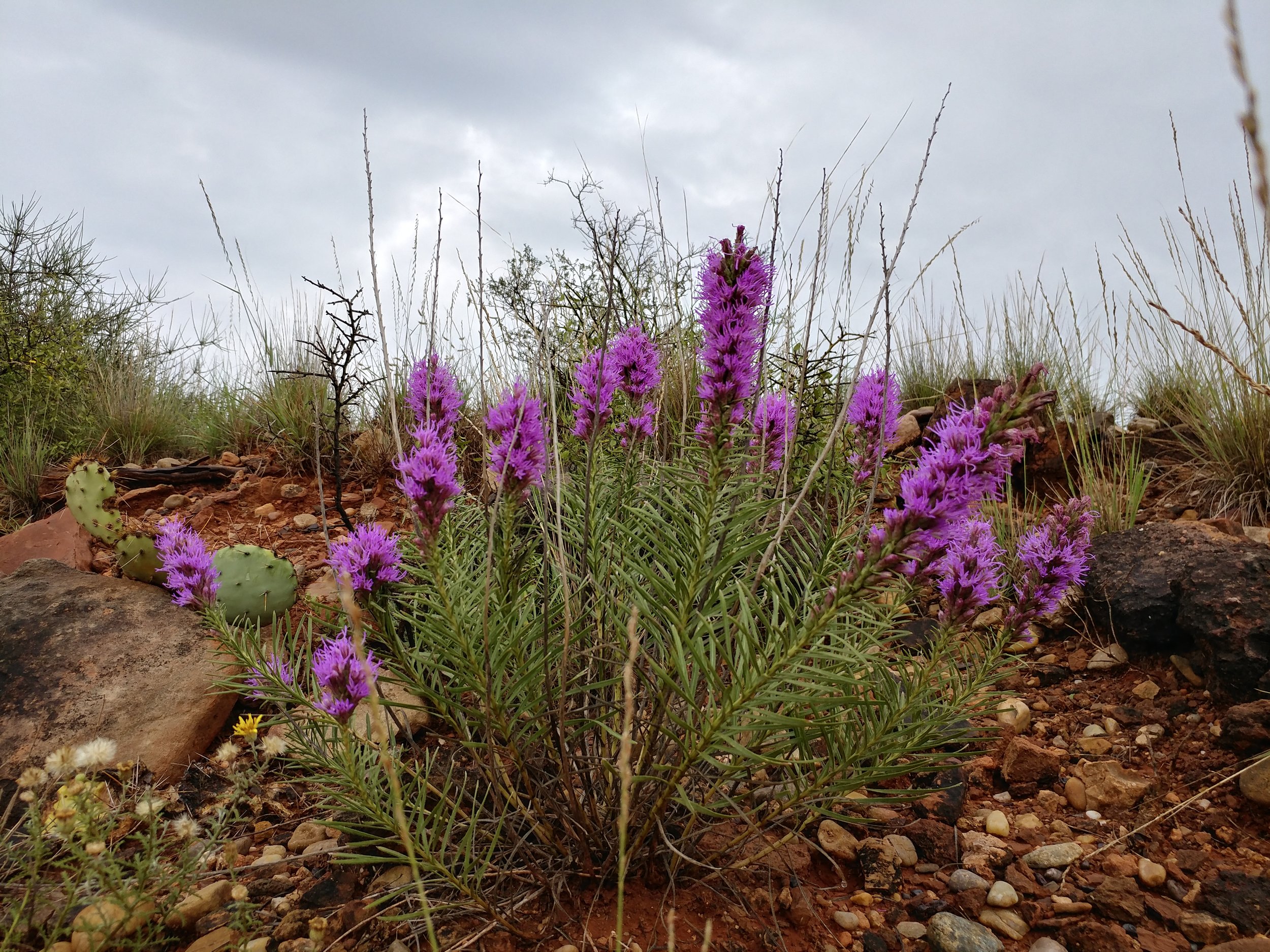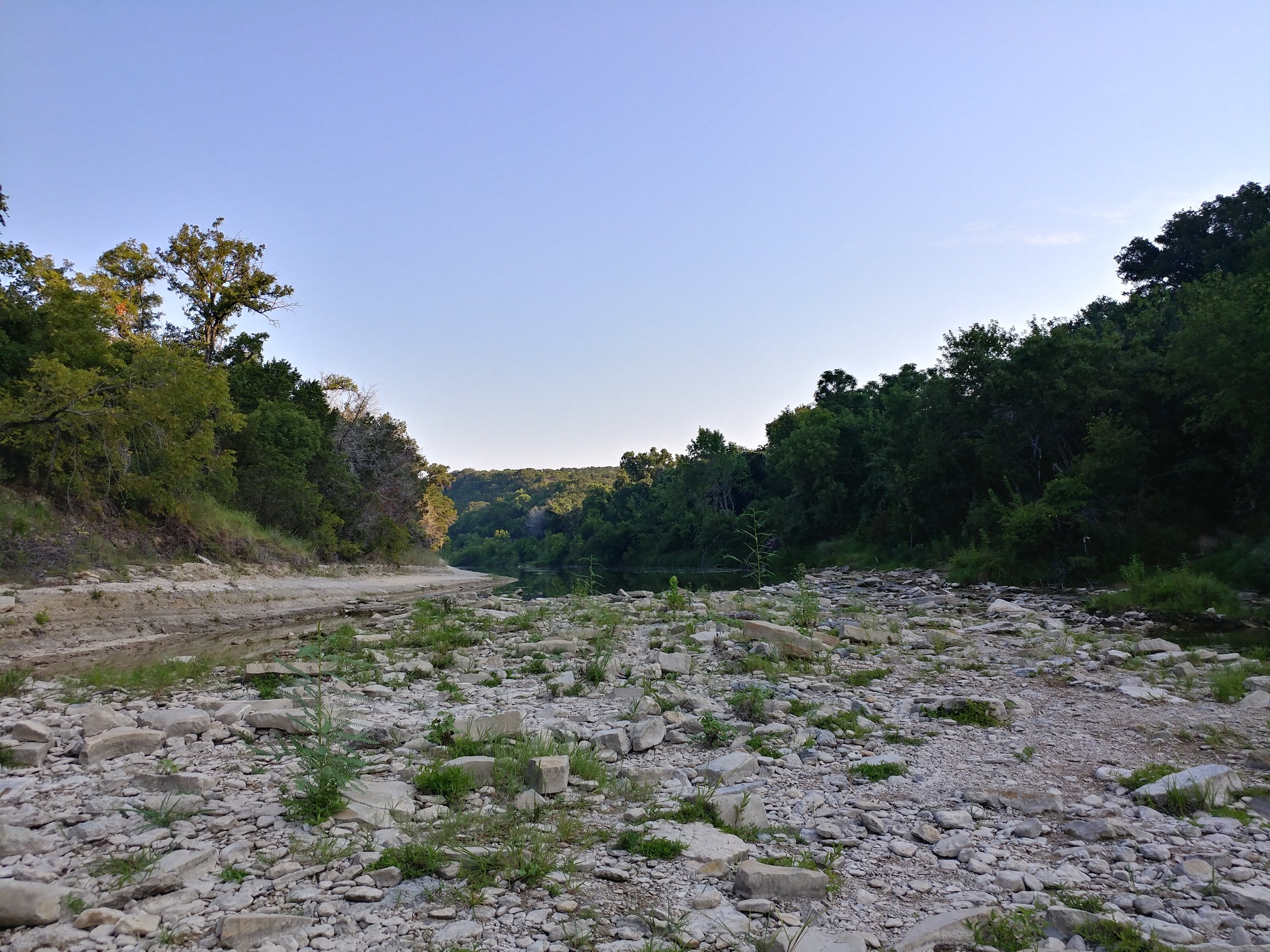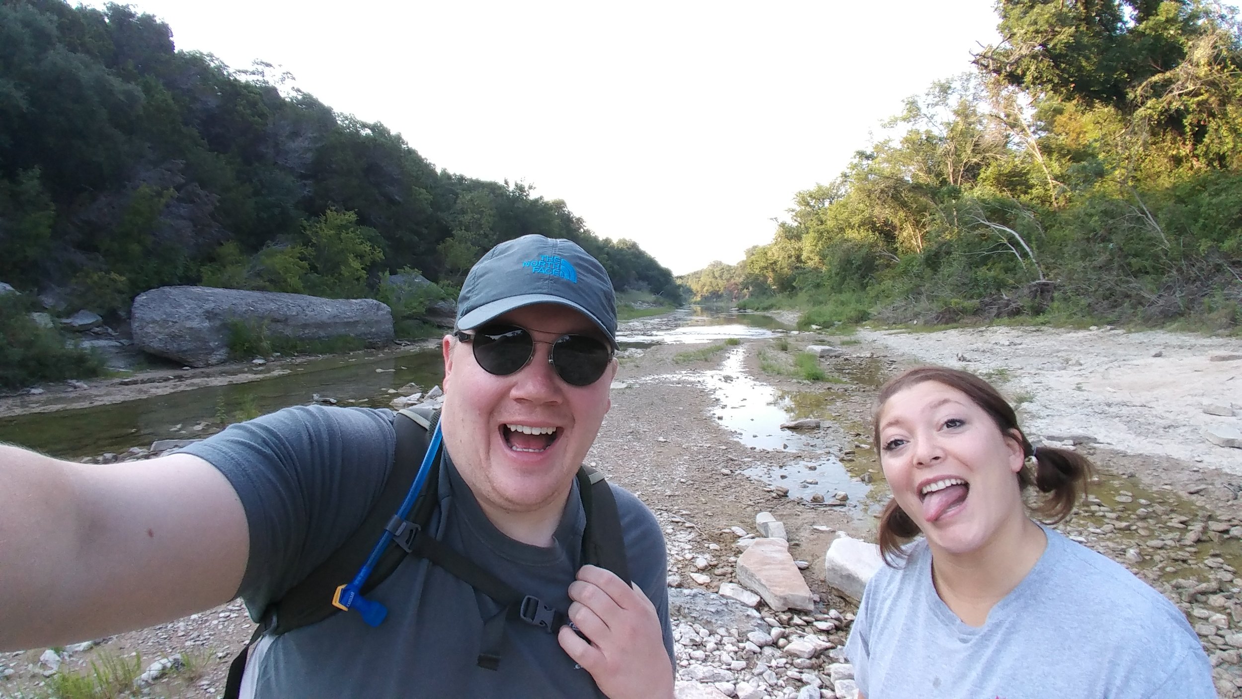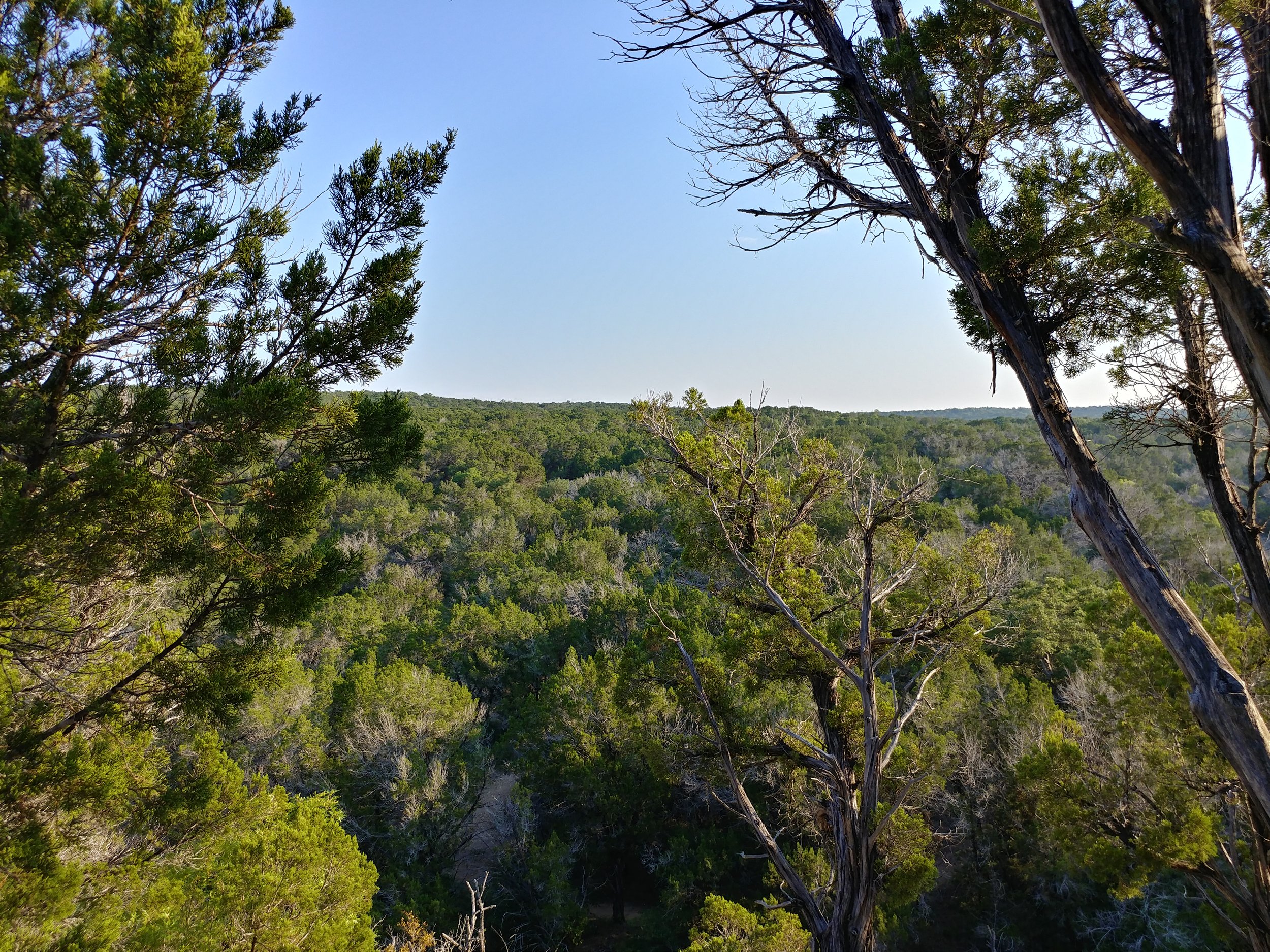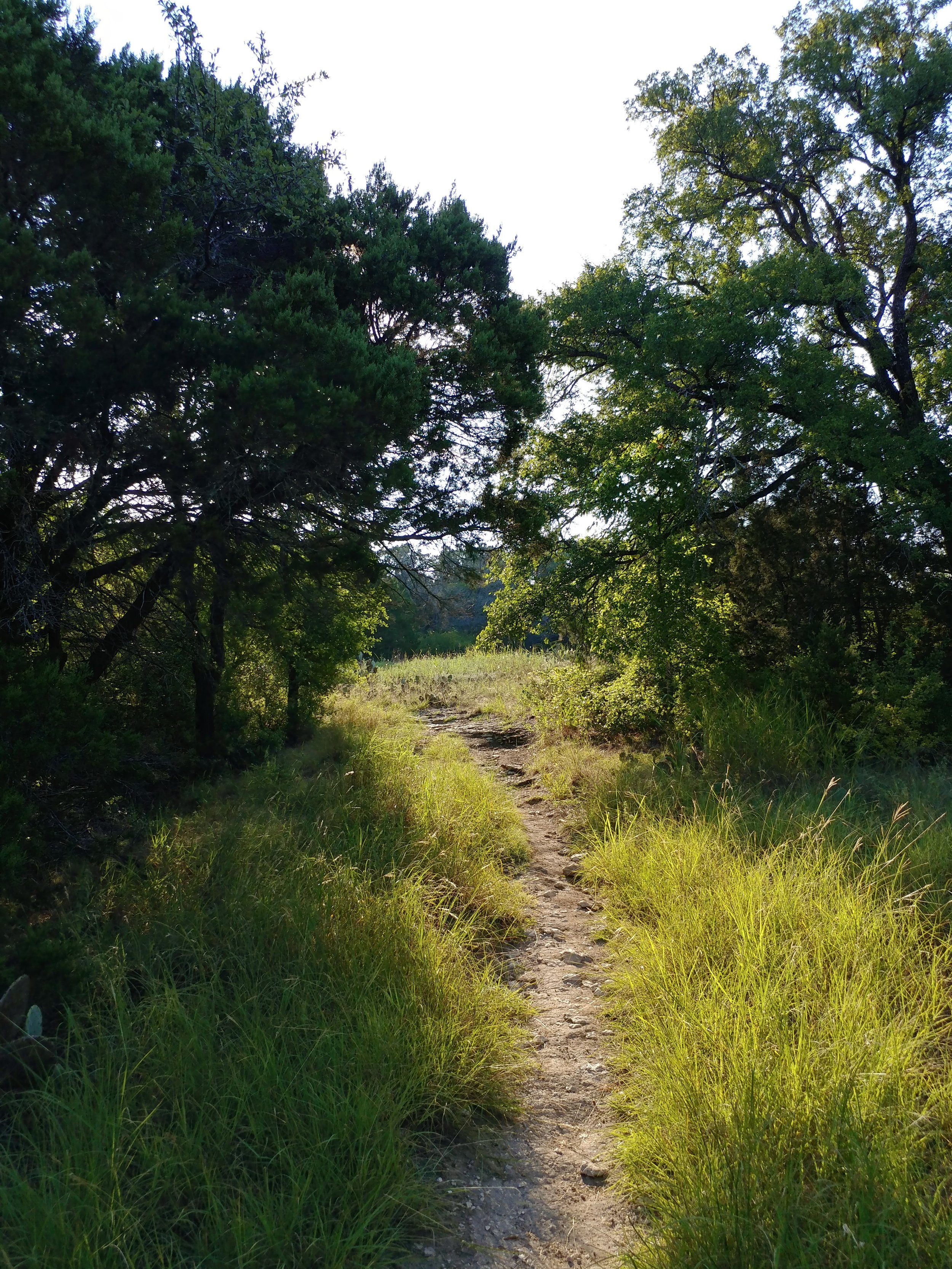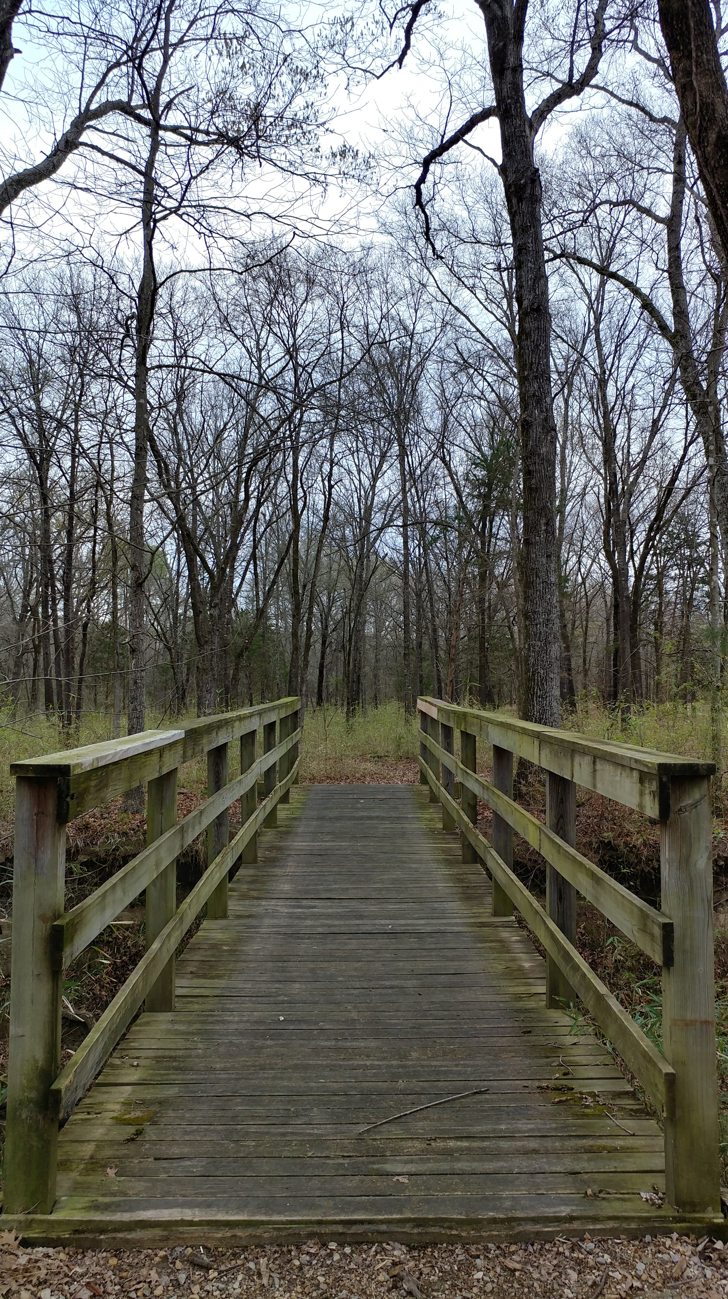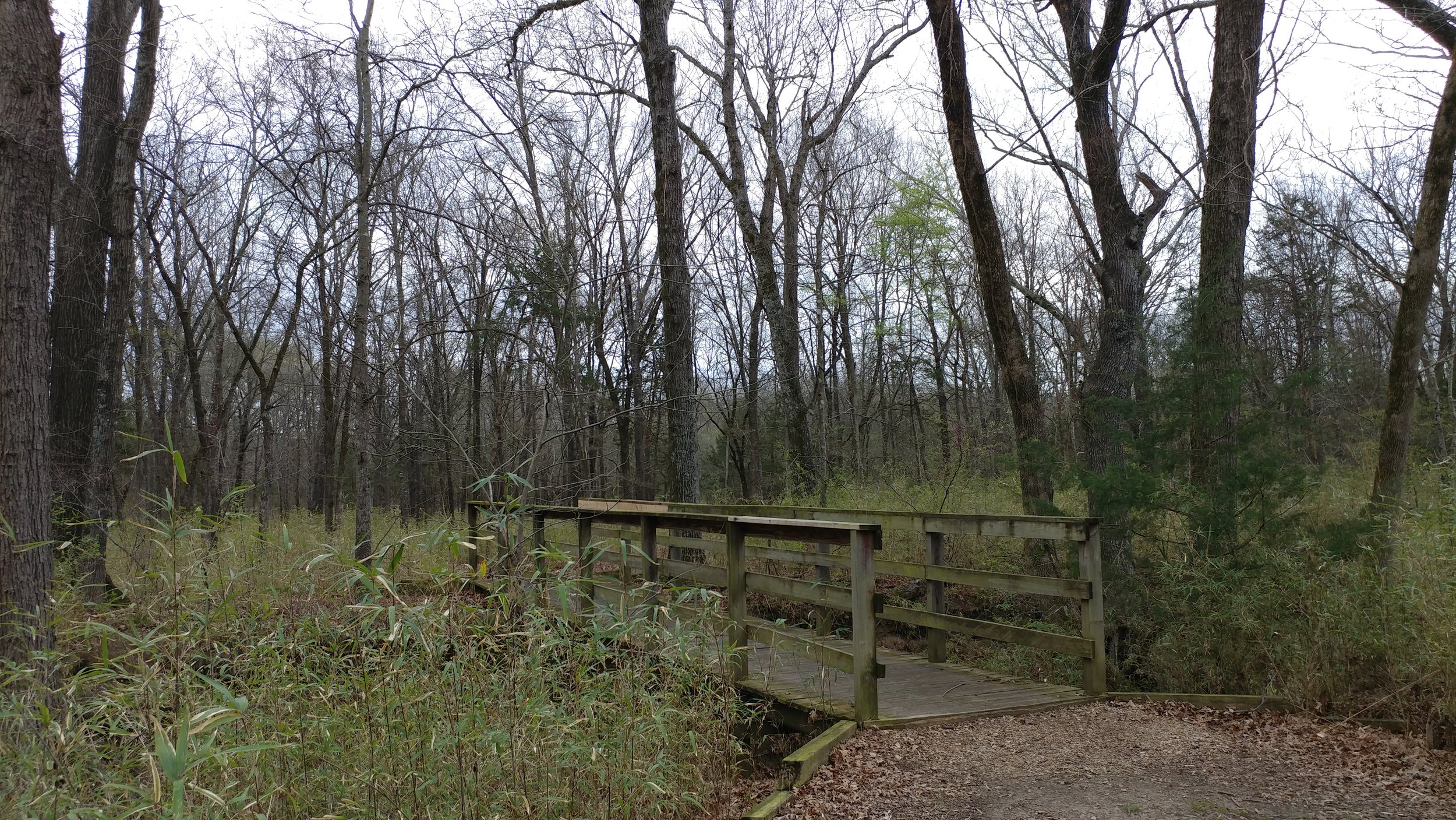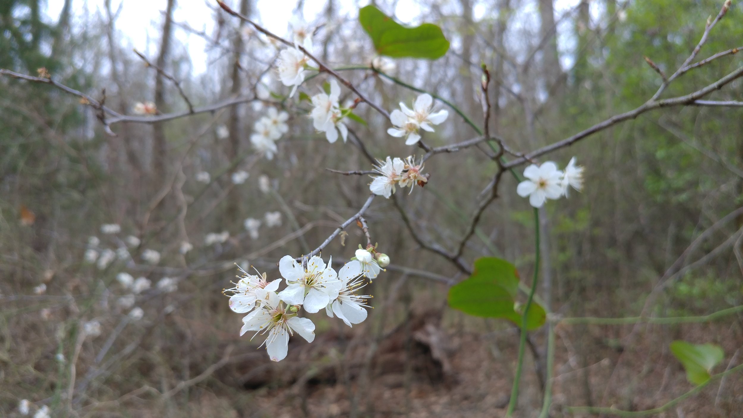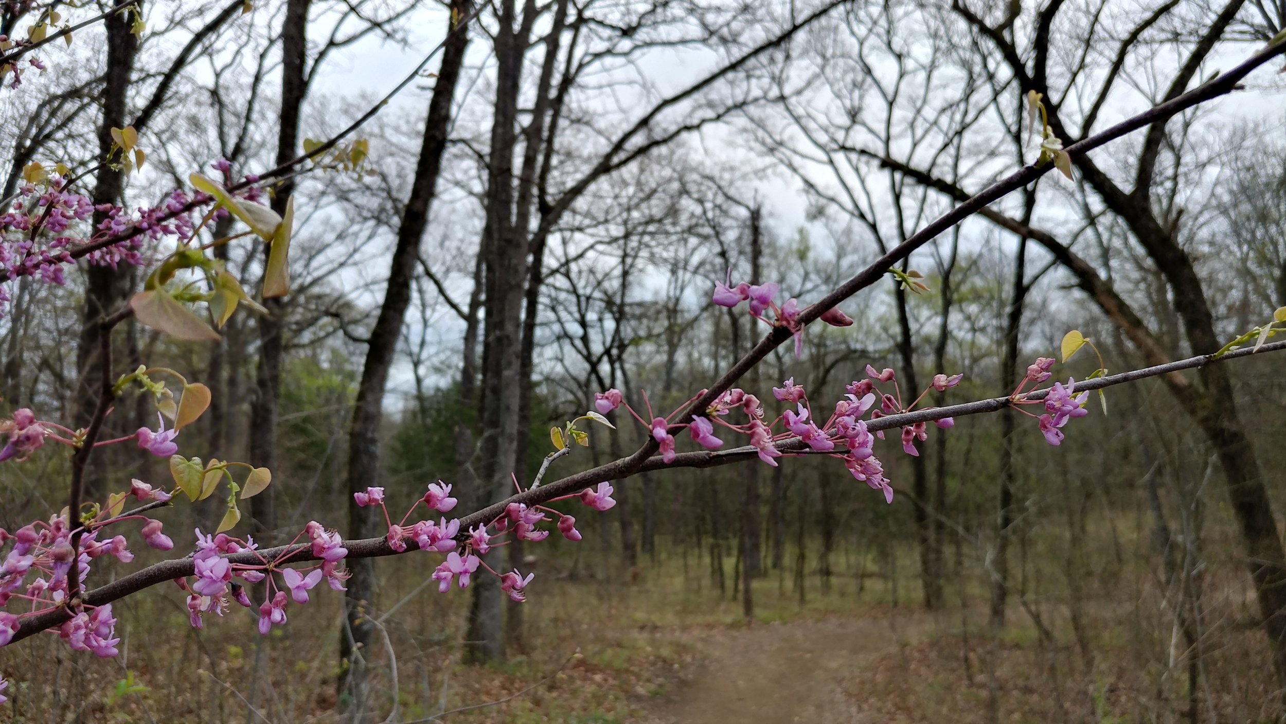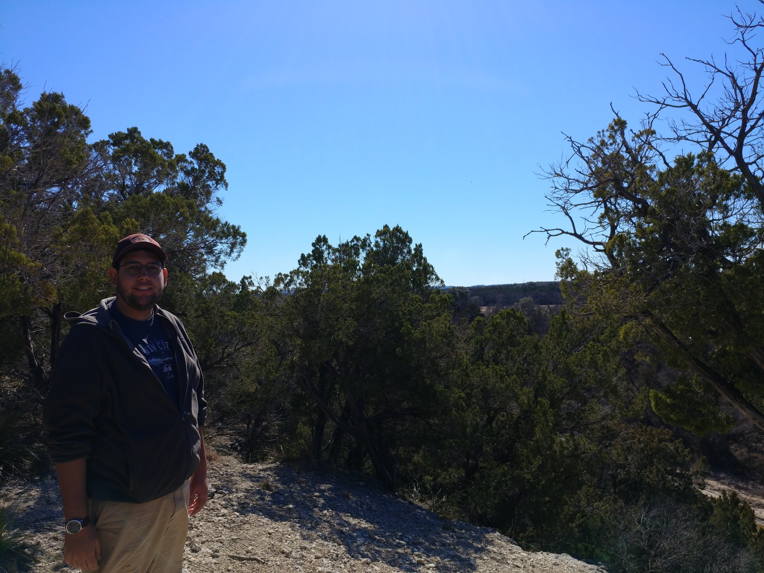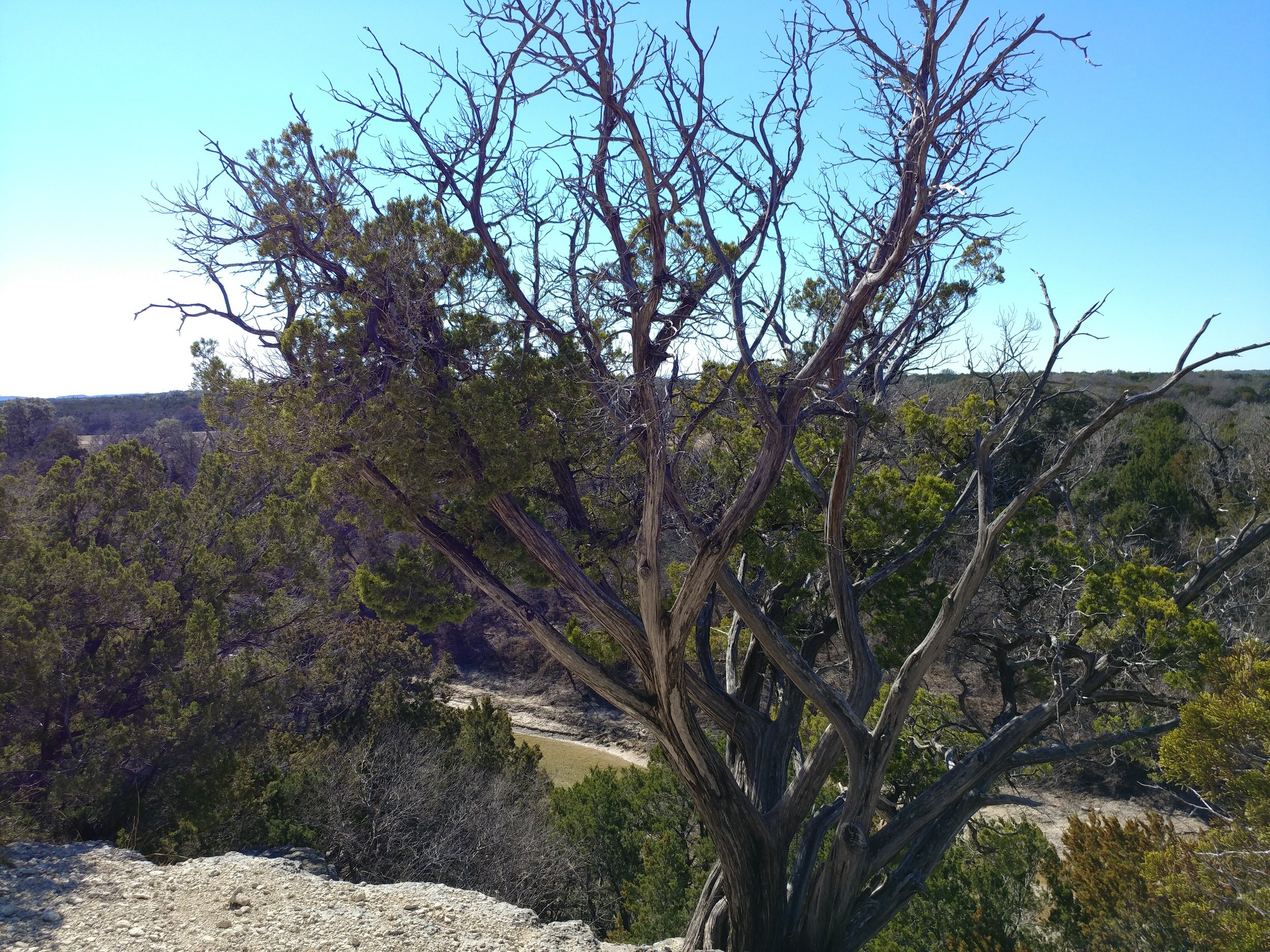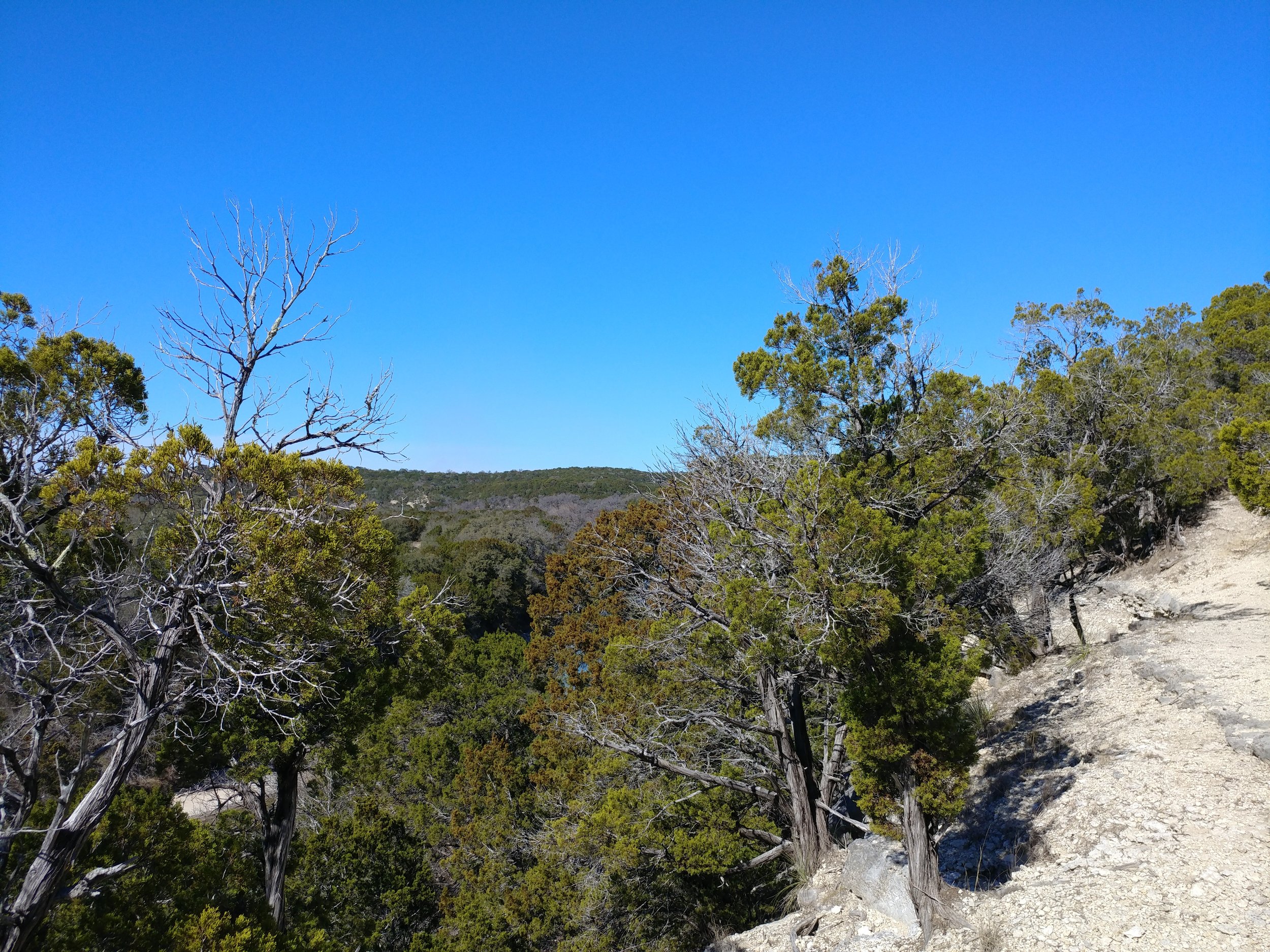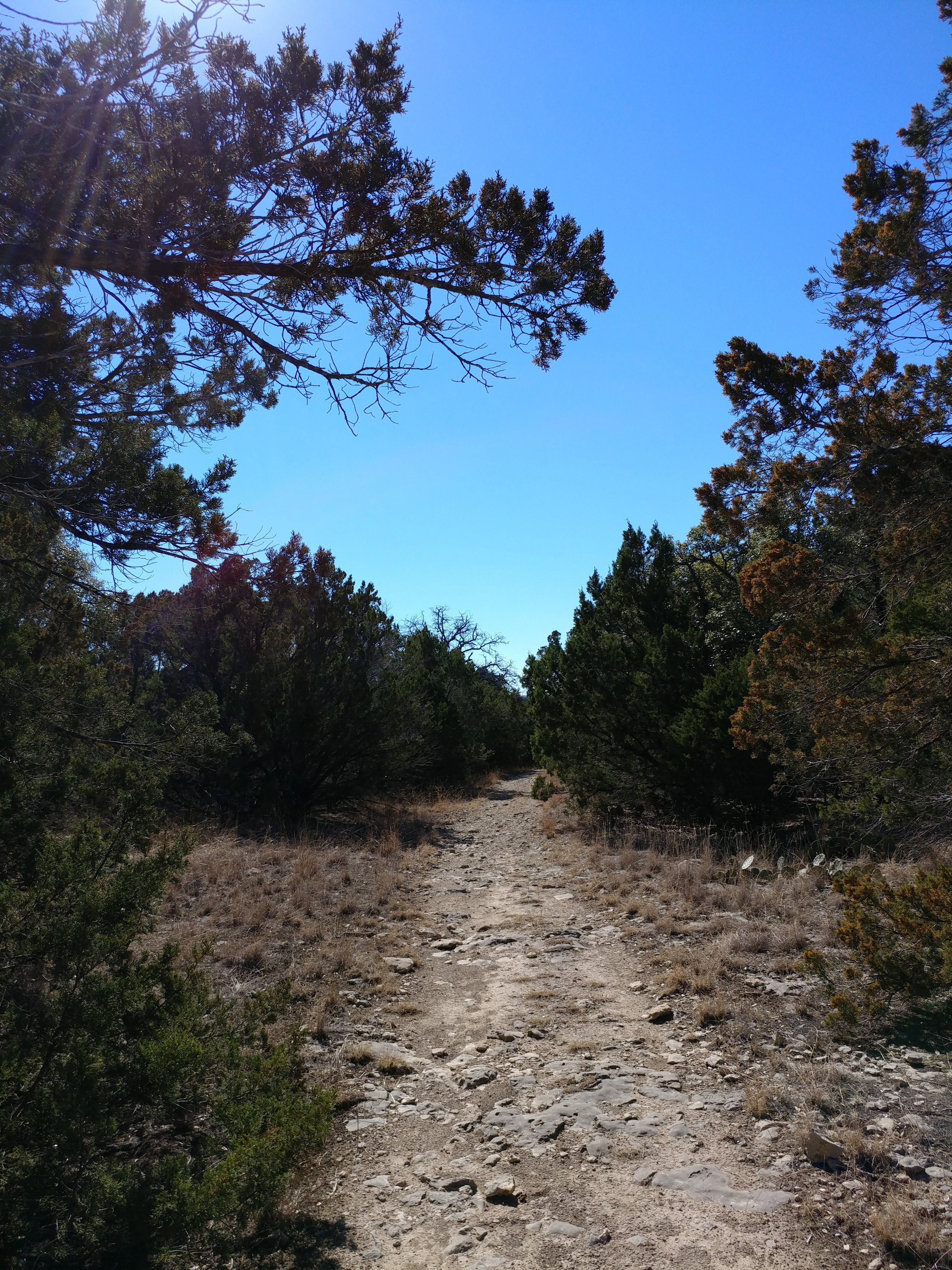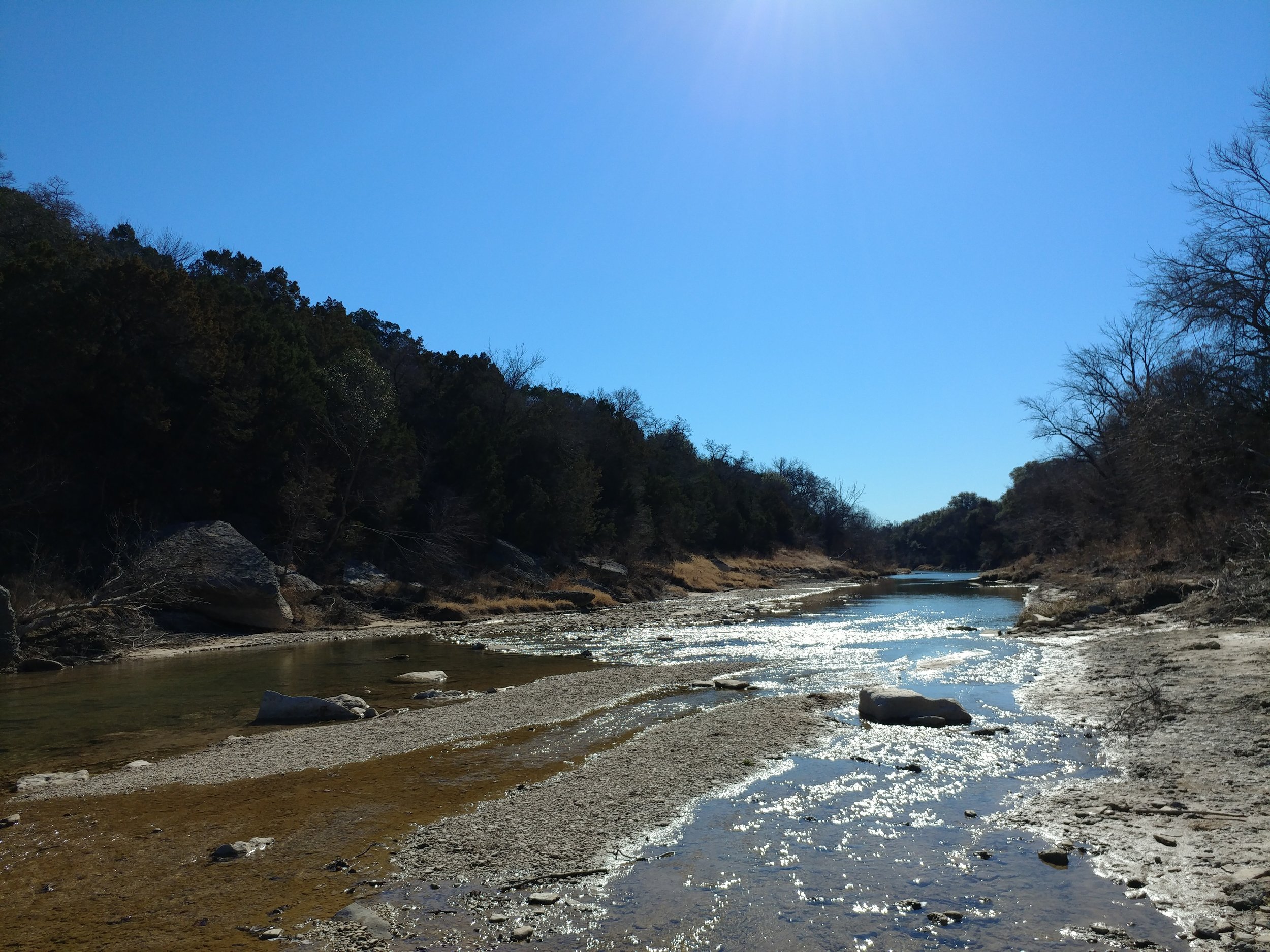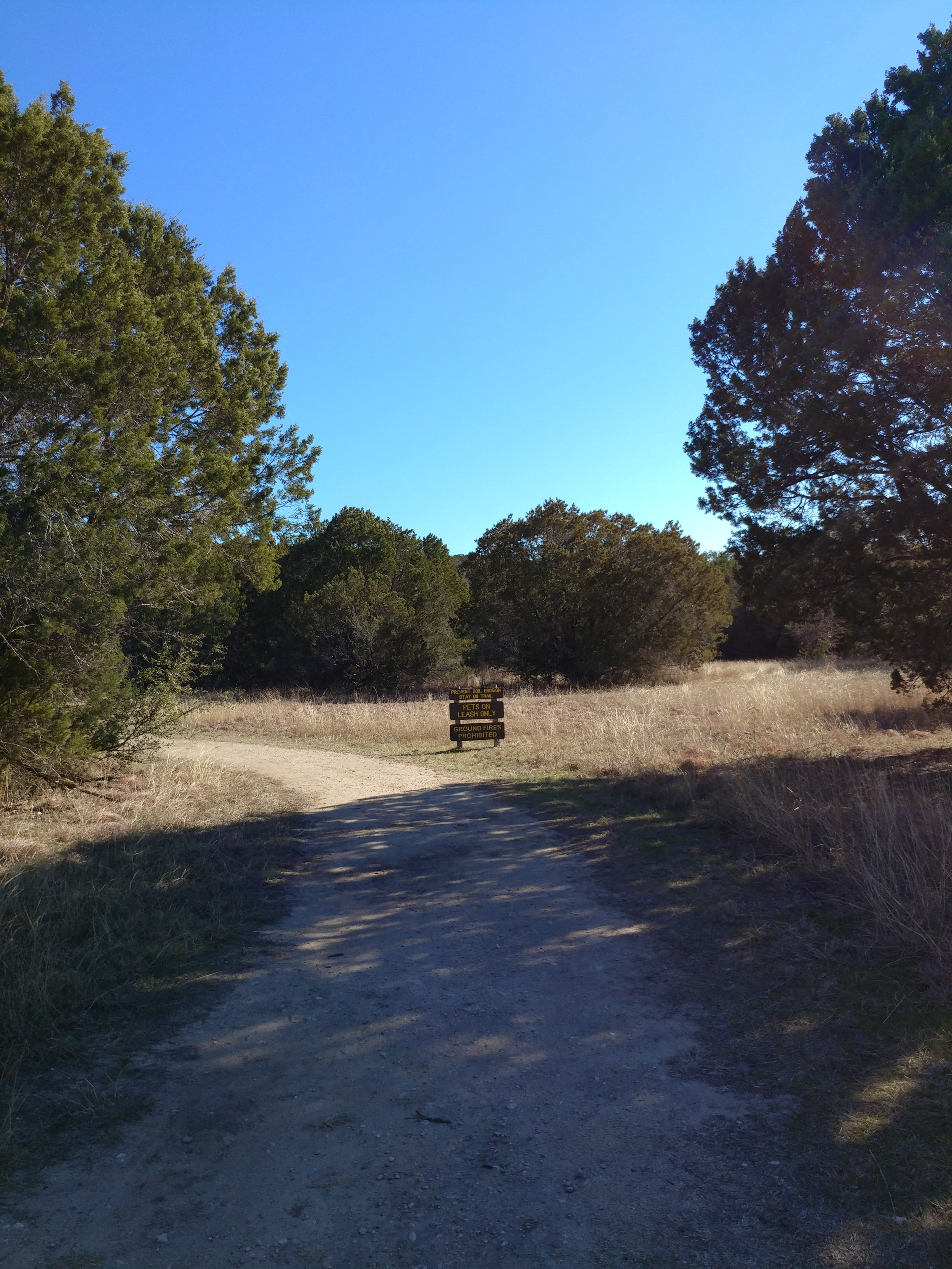
#hike49 - Fort Worth Nature Center & Refuge
Location: Fort Worth Nature Center & Refuge Date: 12/17/17
Distance: 7.6
Trails: Canyon Ridge & part of Greer Island
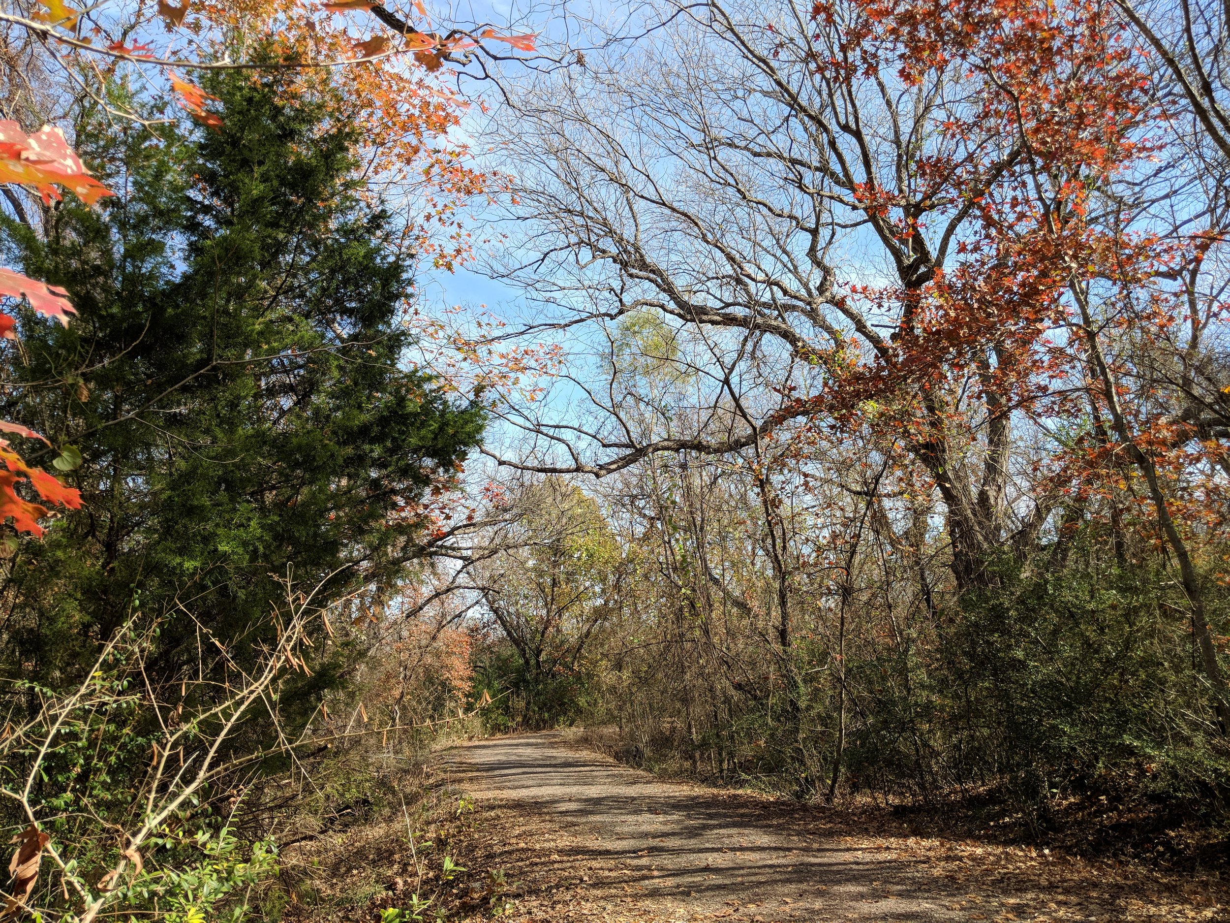
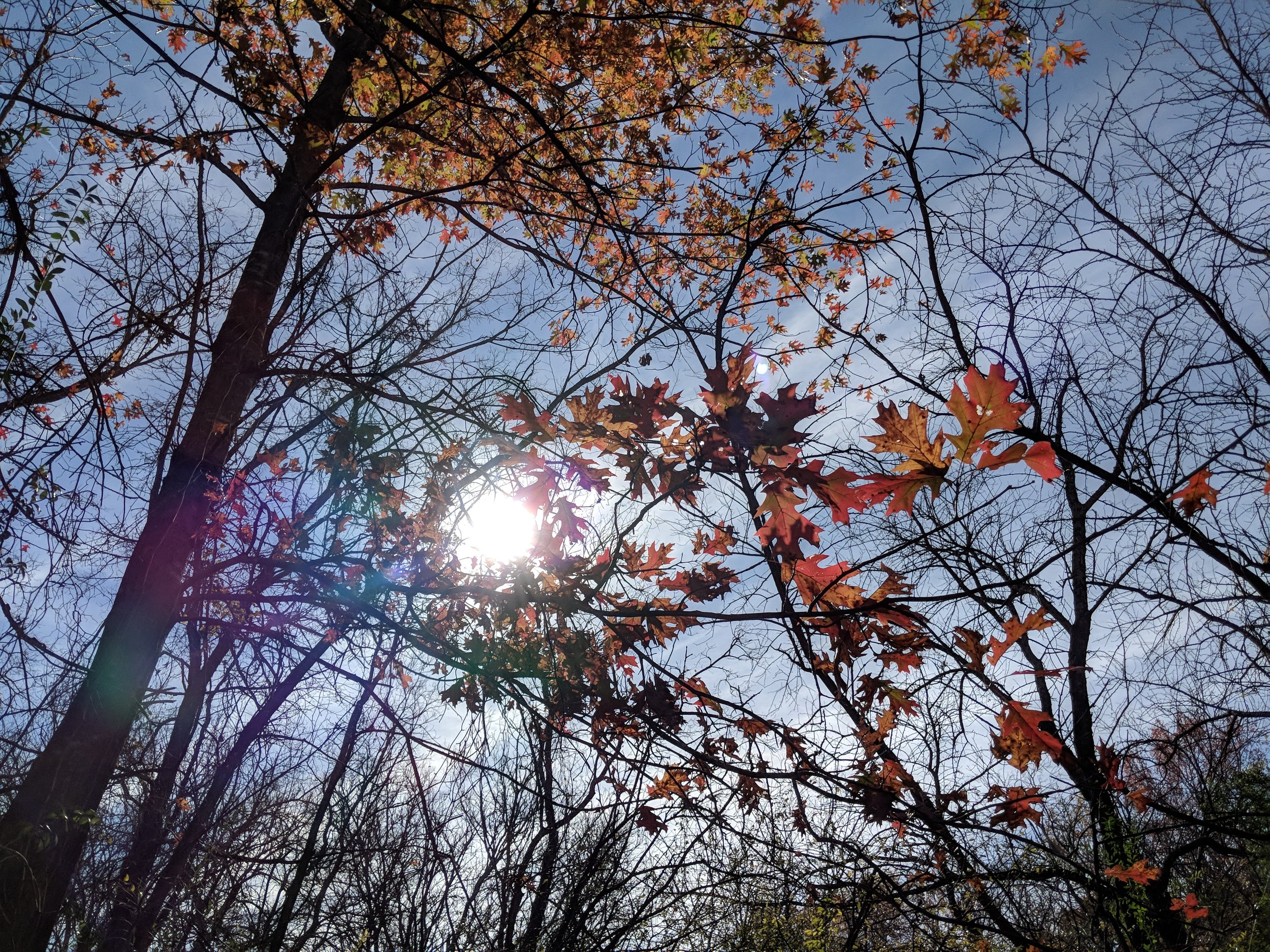
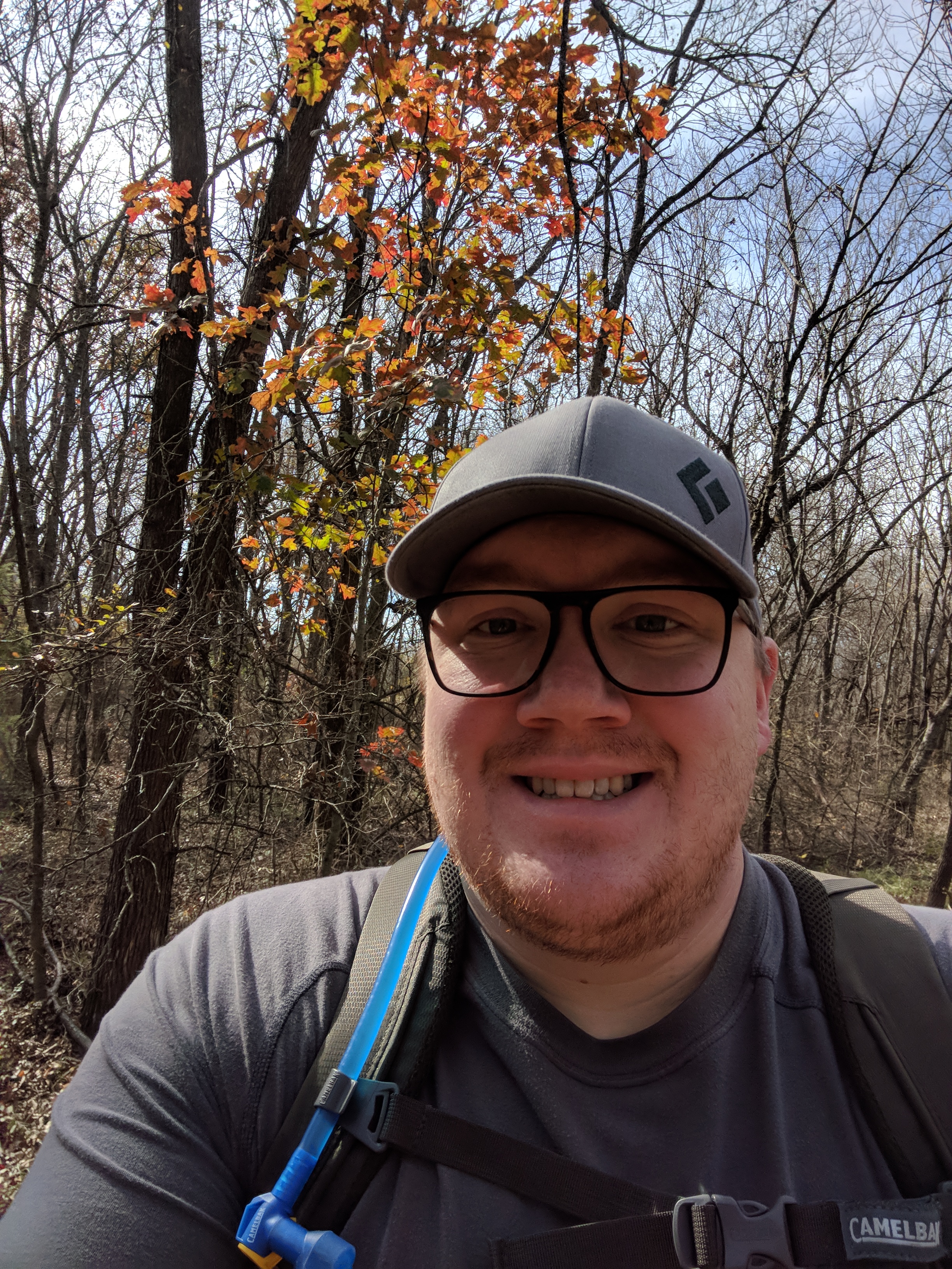
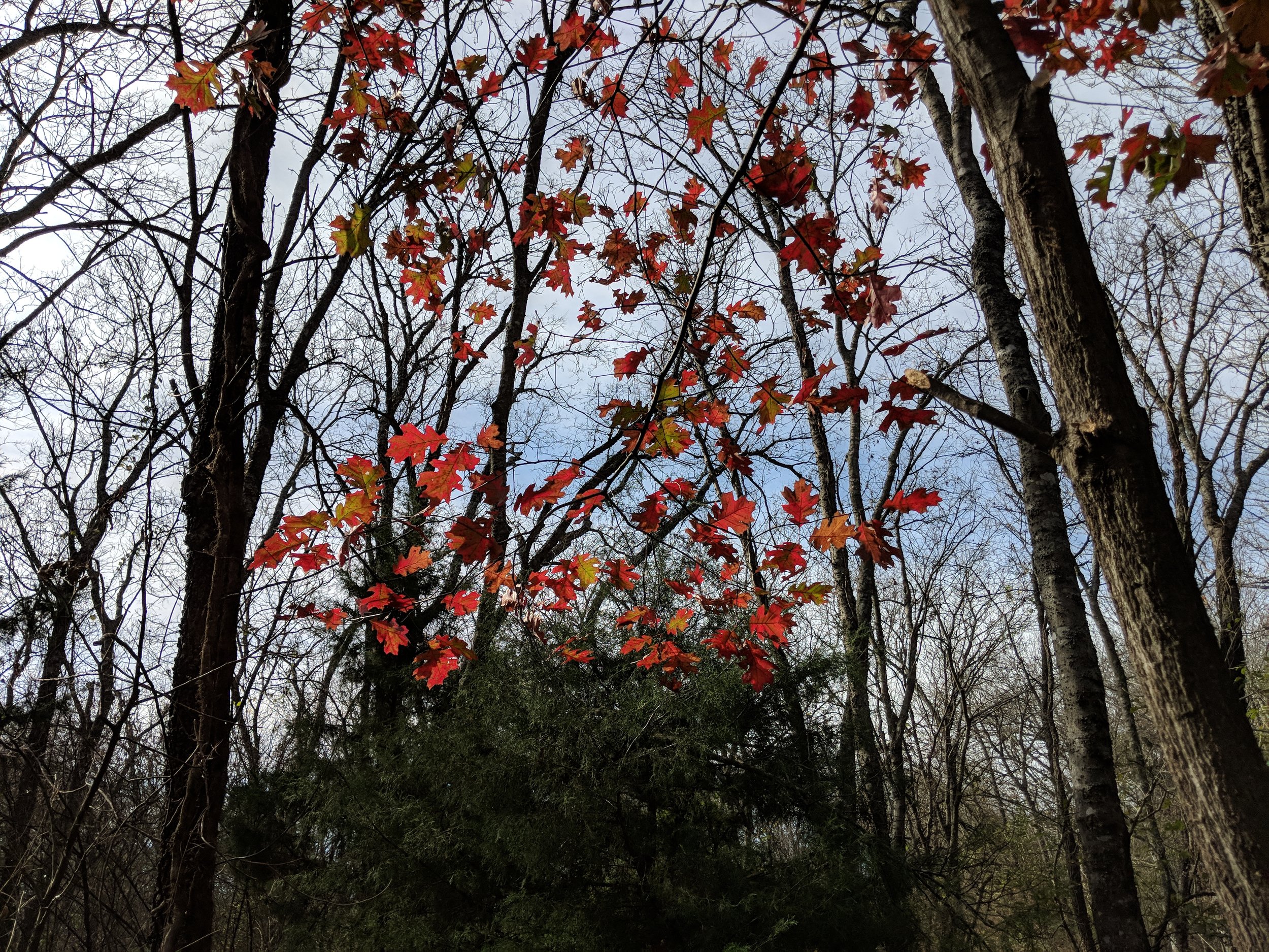
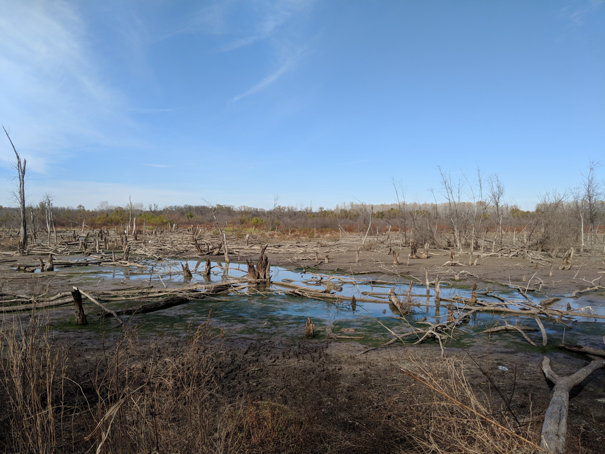
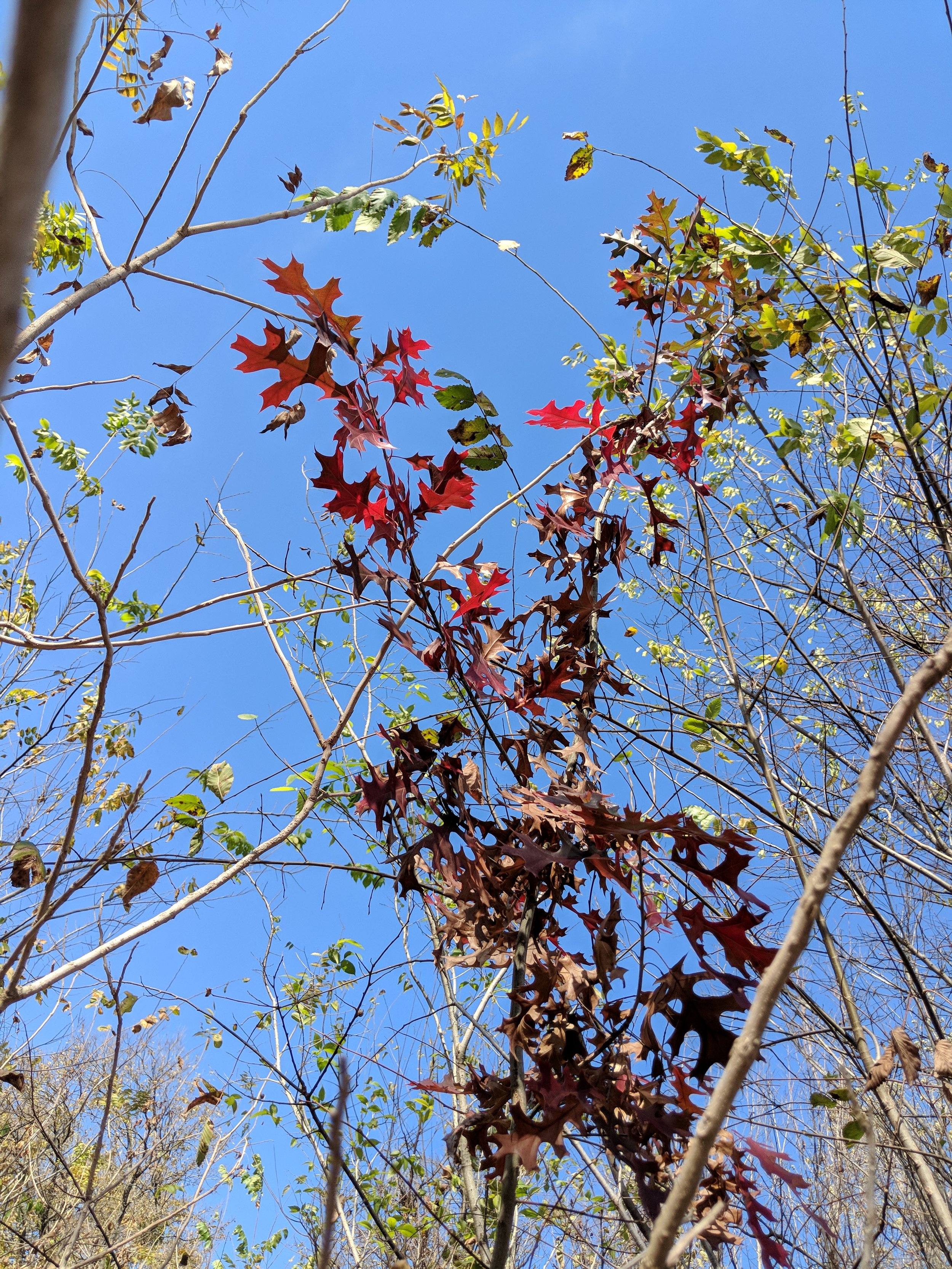
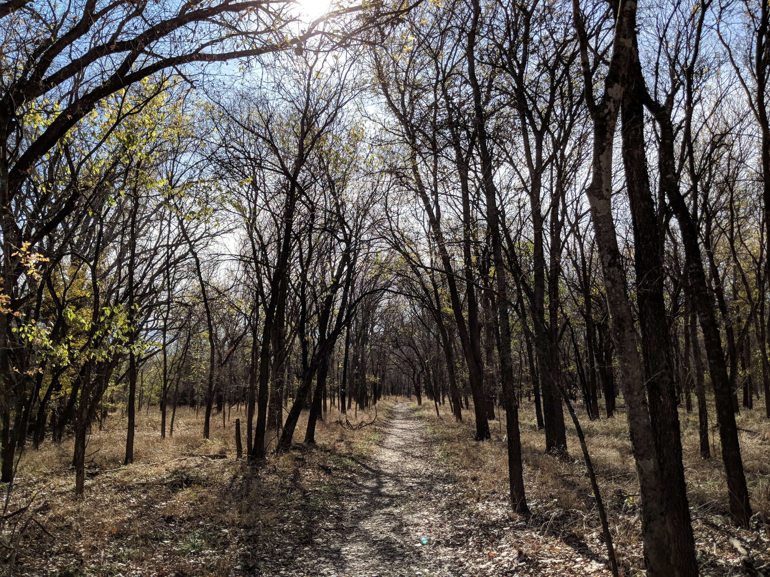
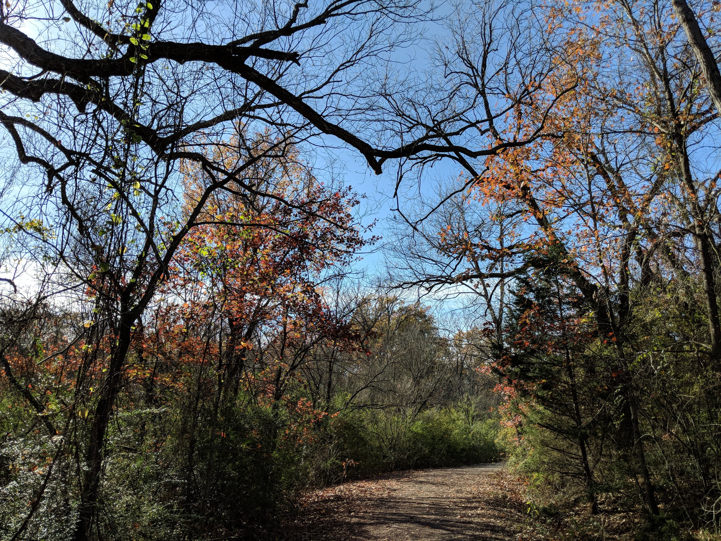
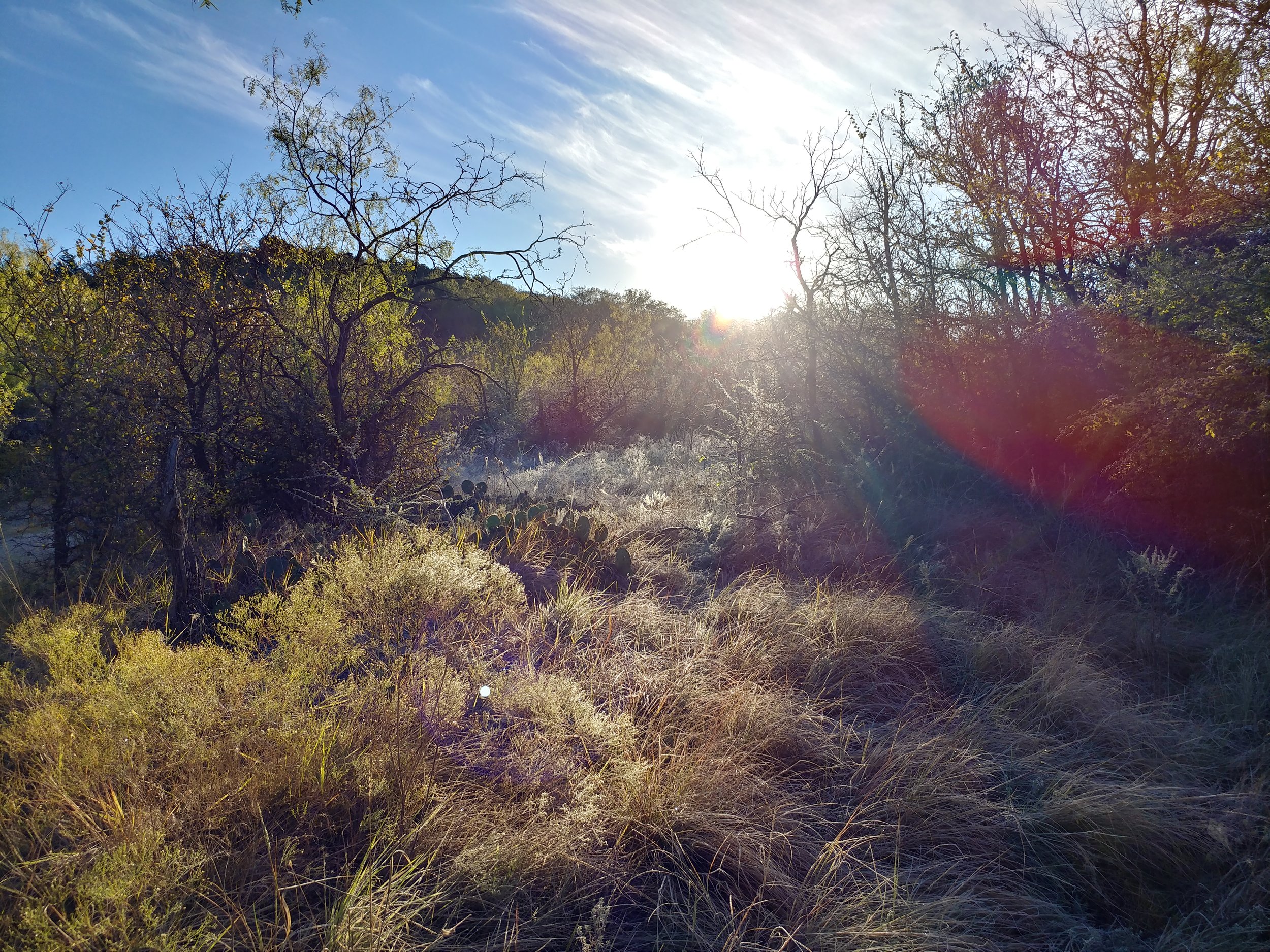
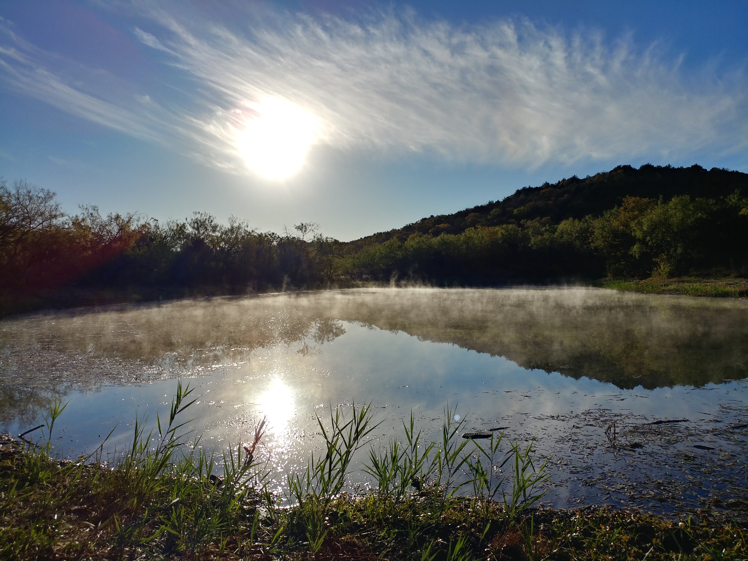
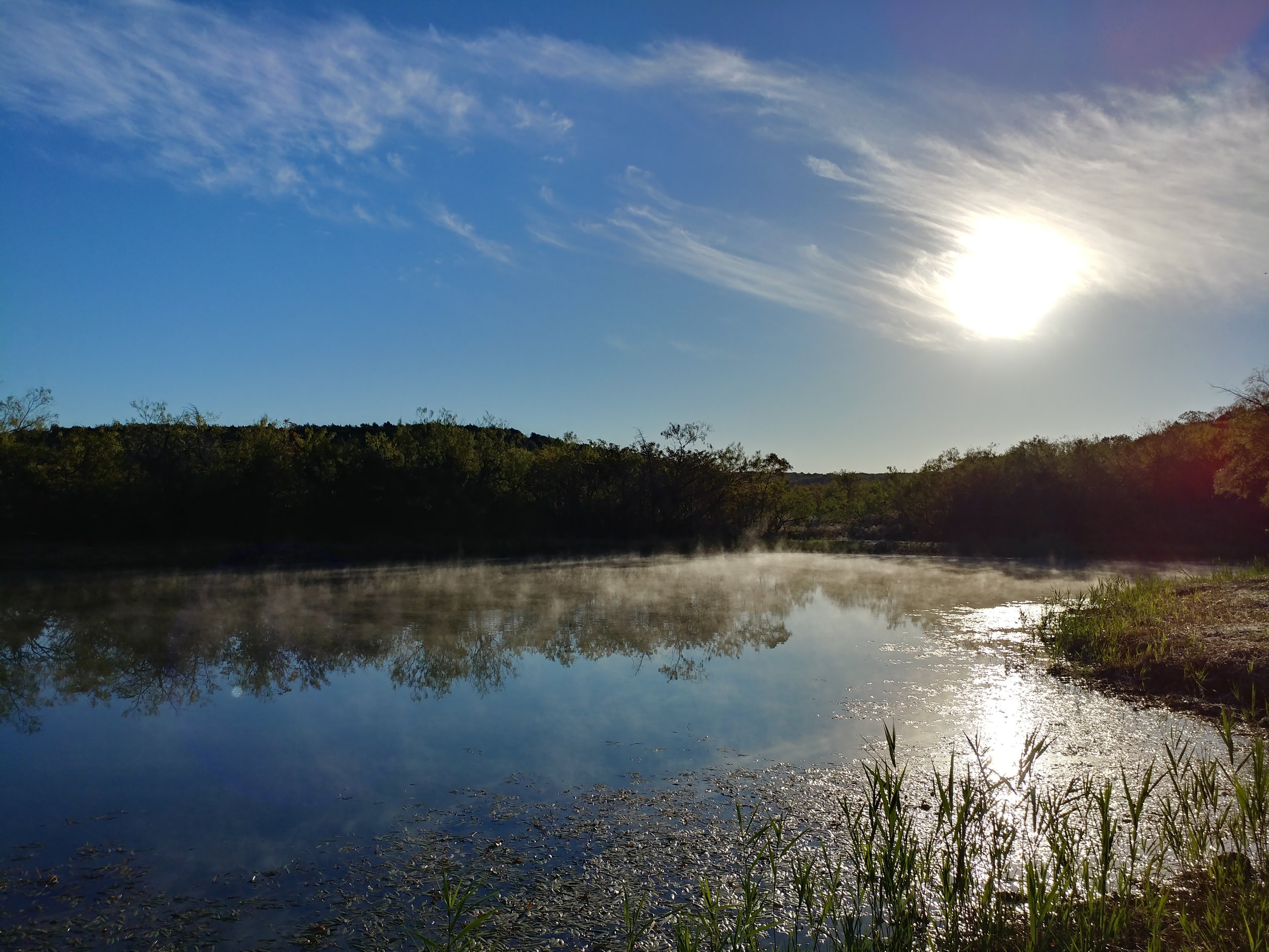
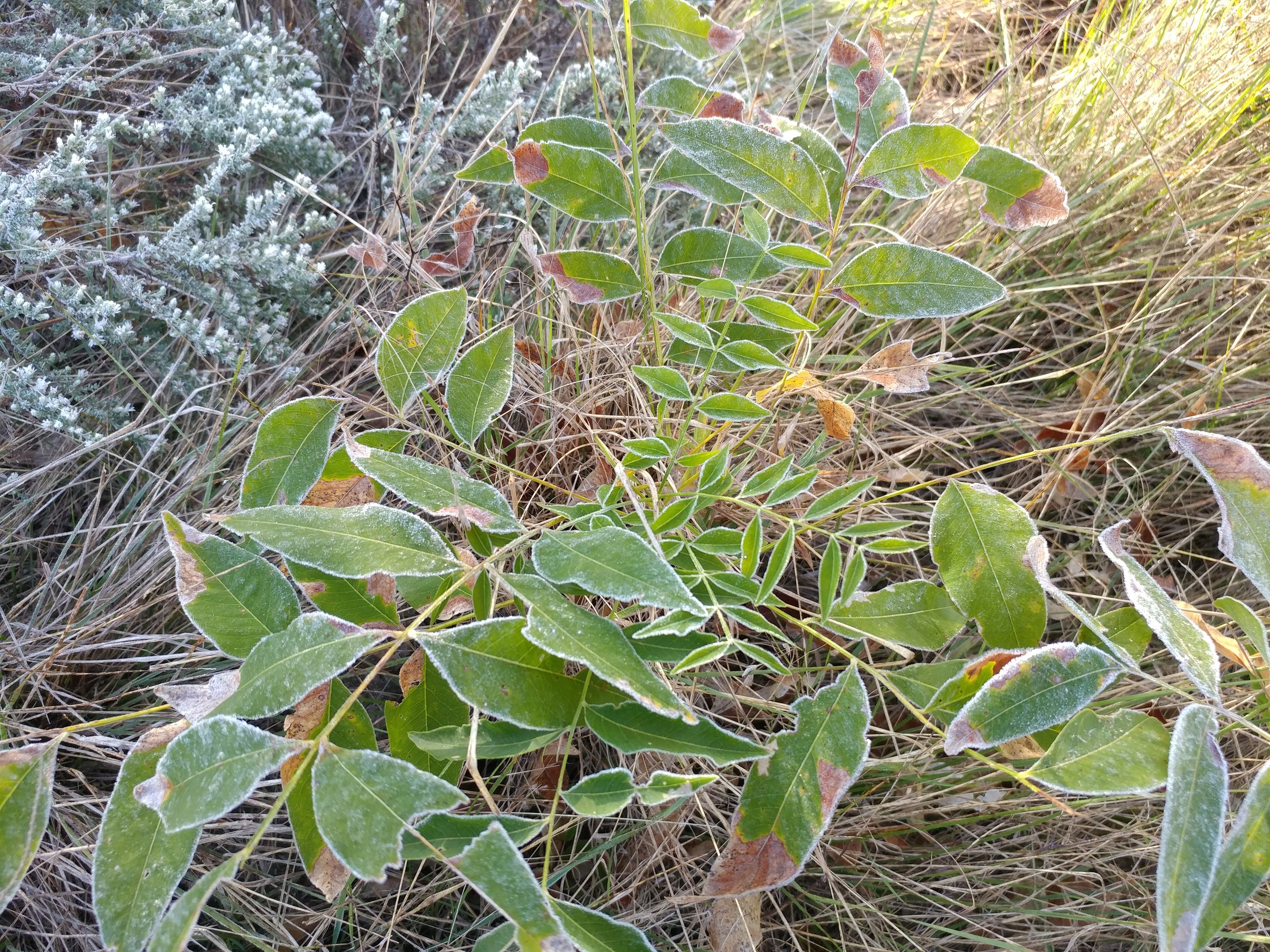
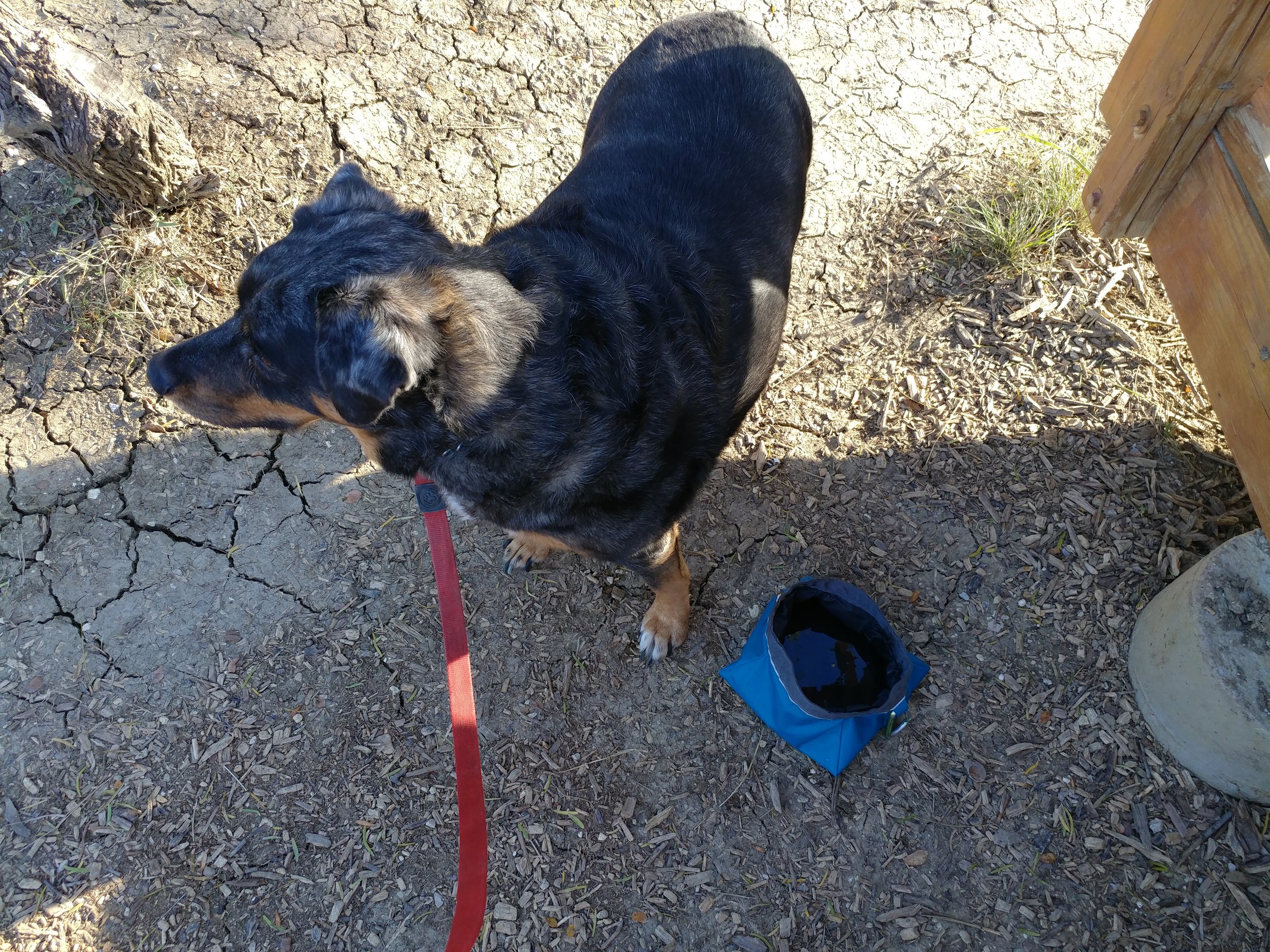
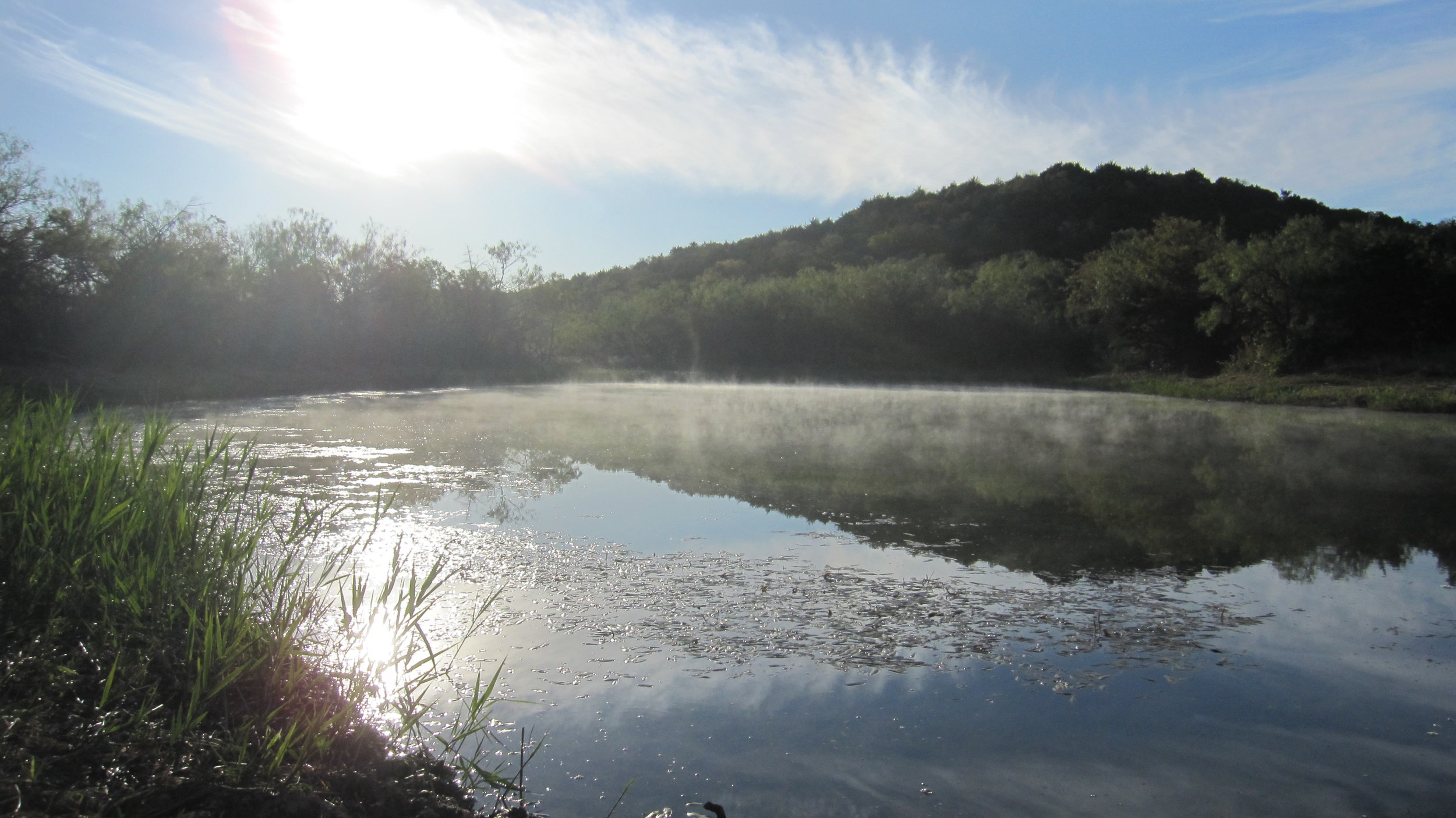
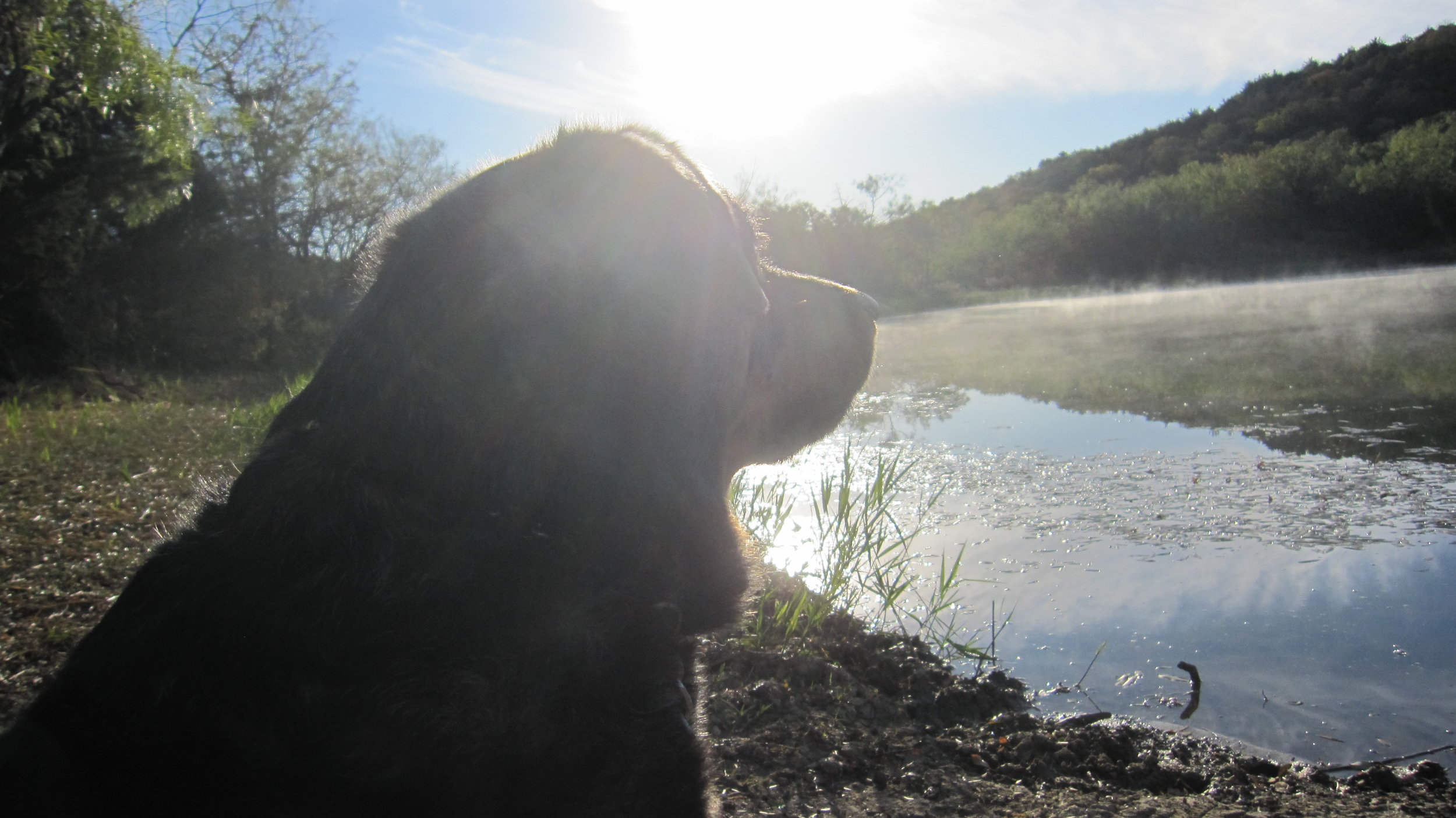
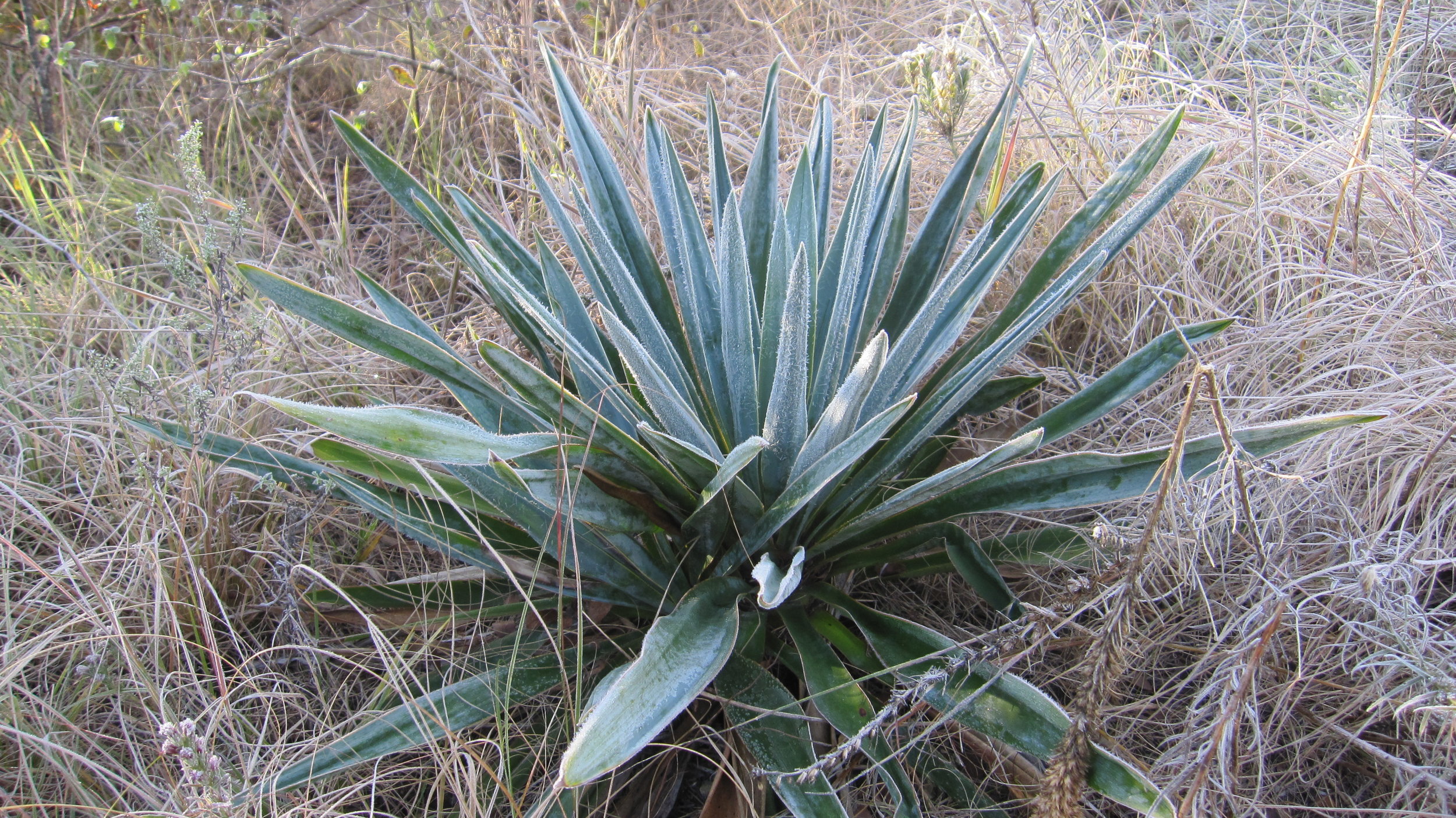
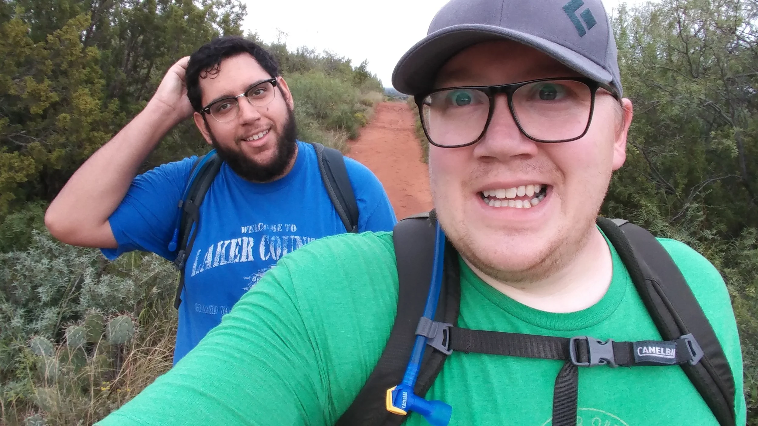
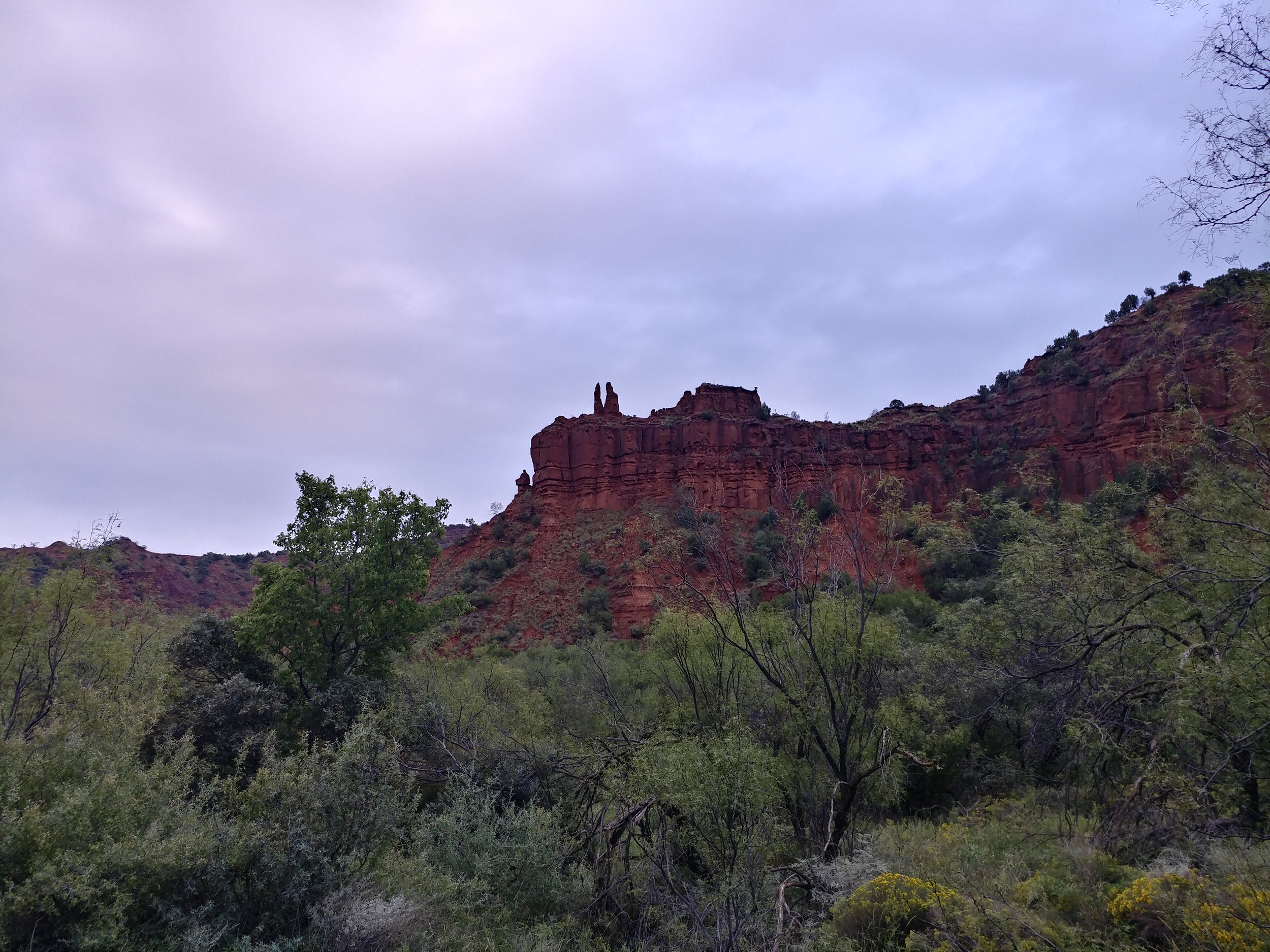
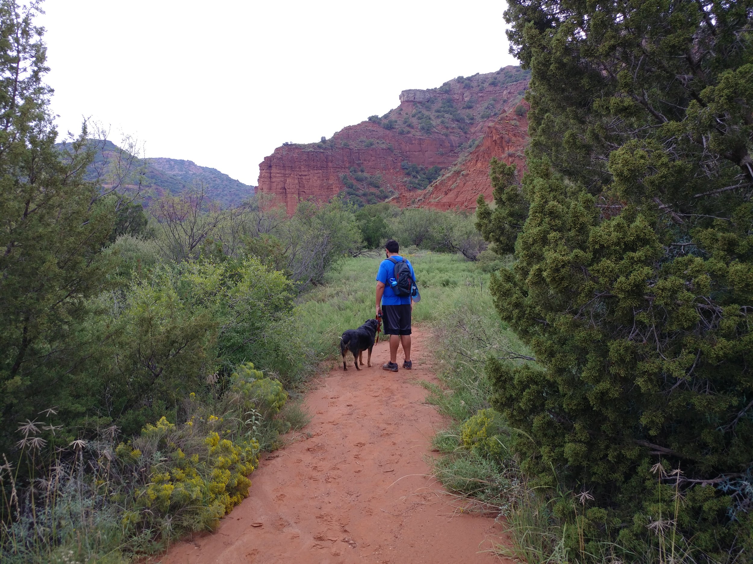
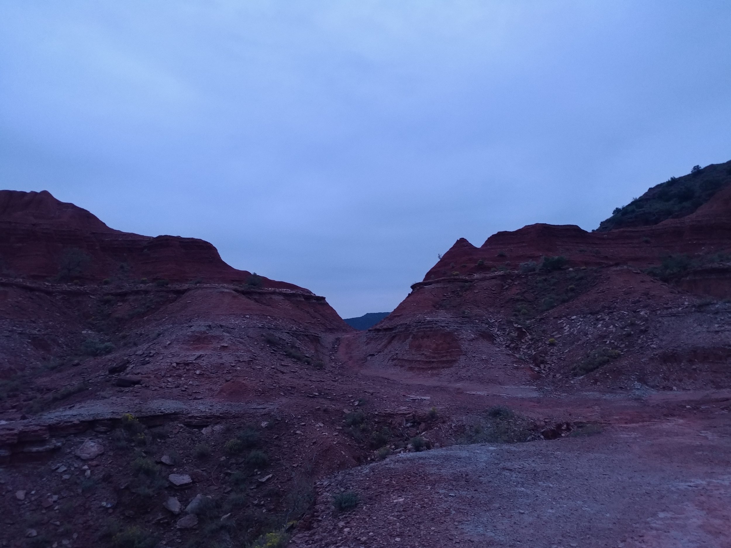
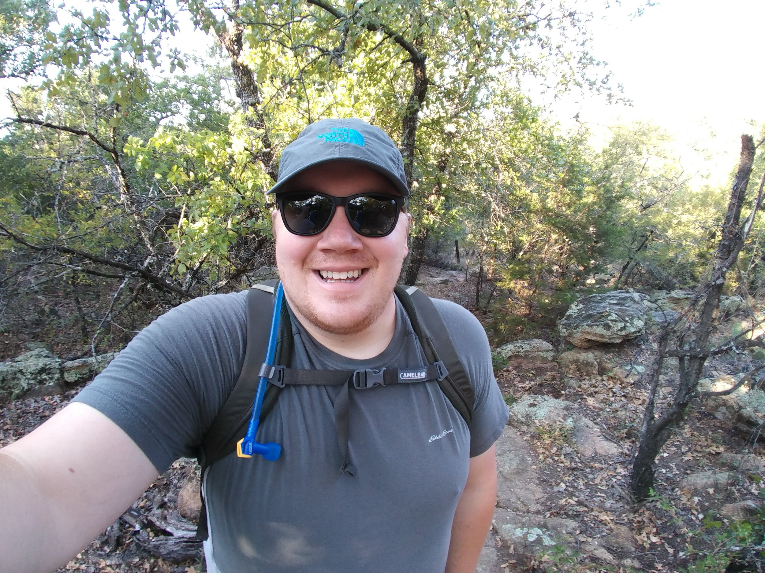
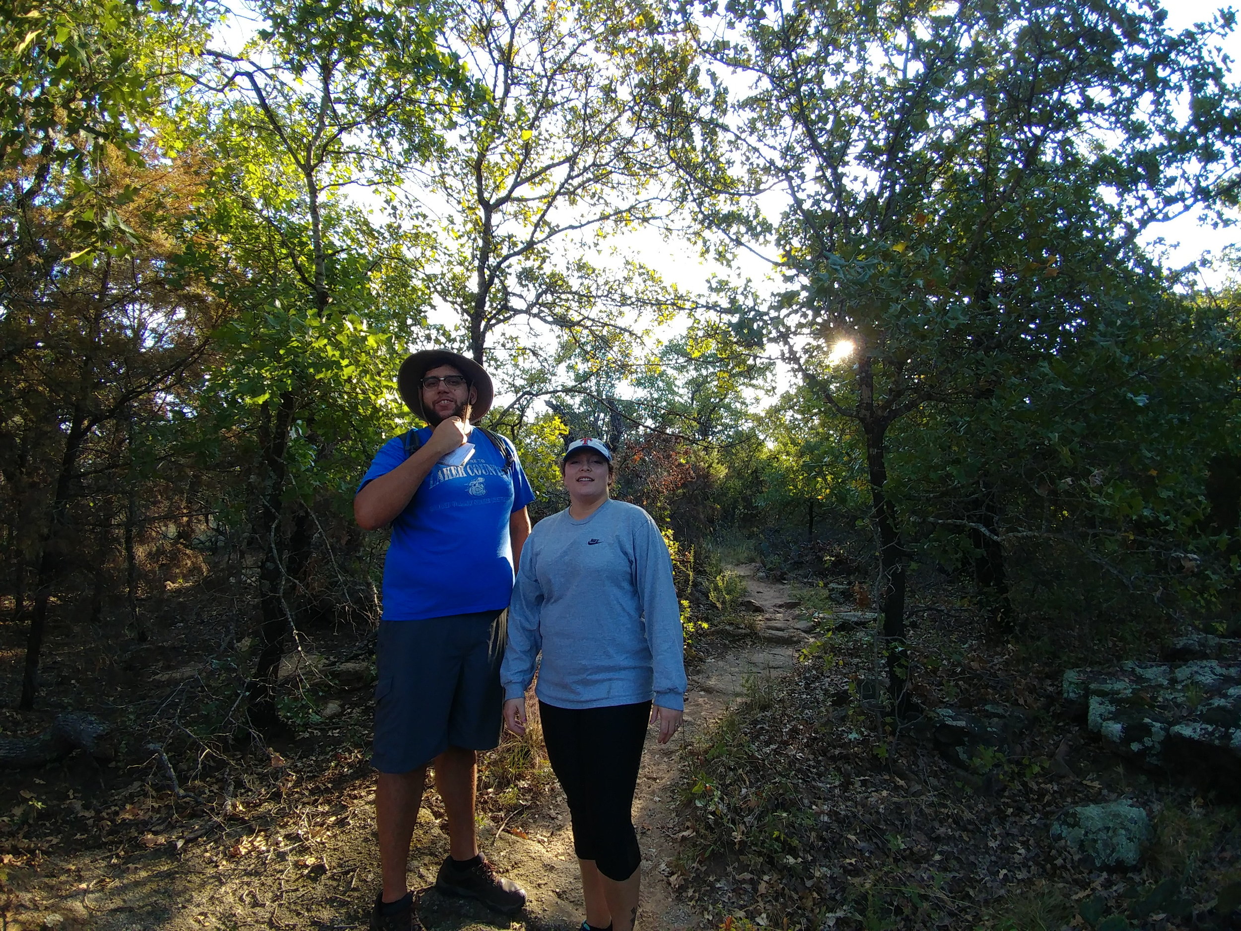
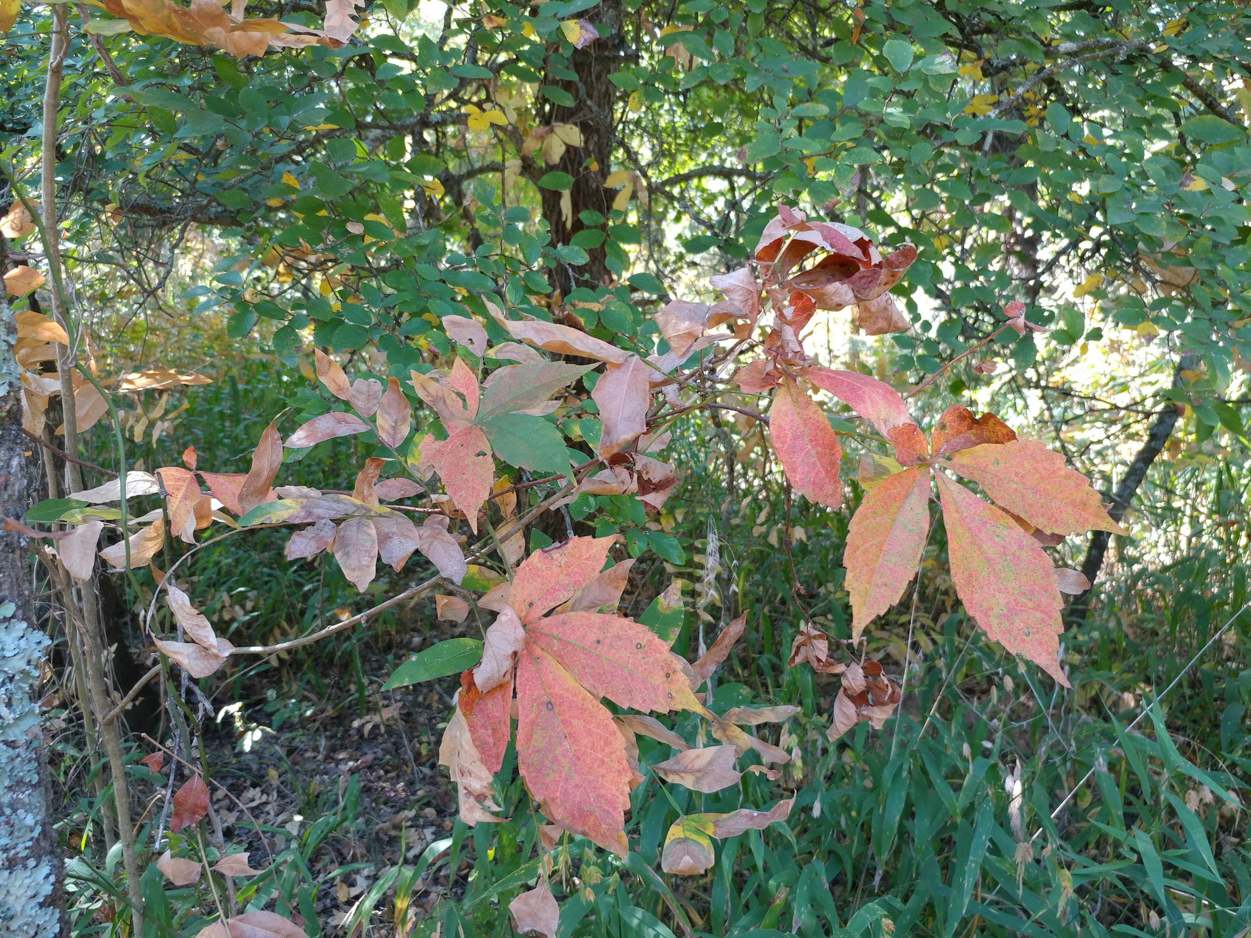
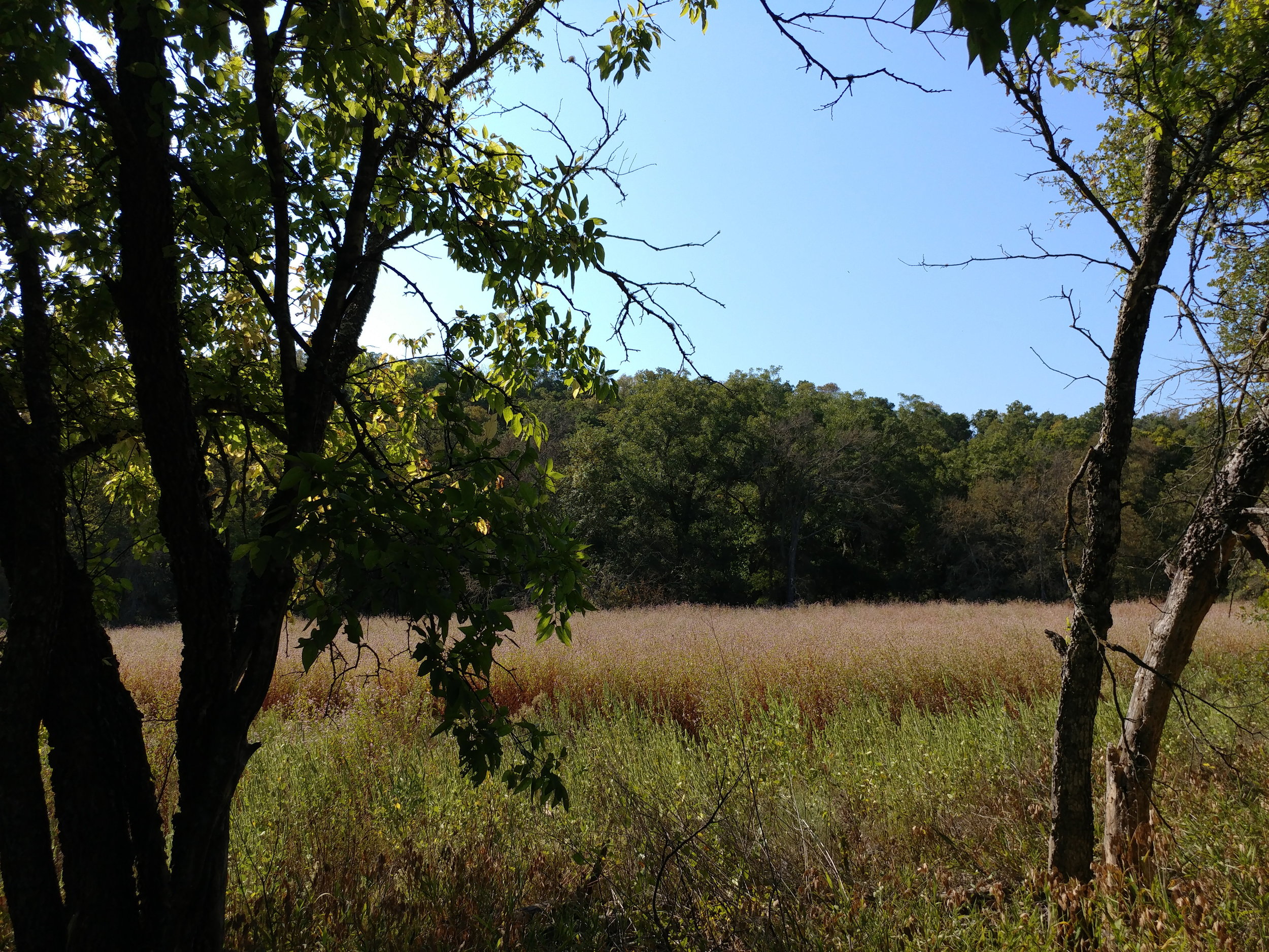
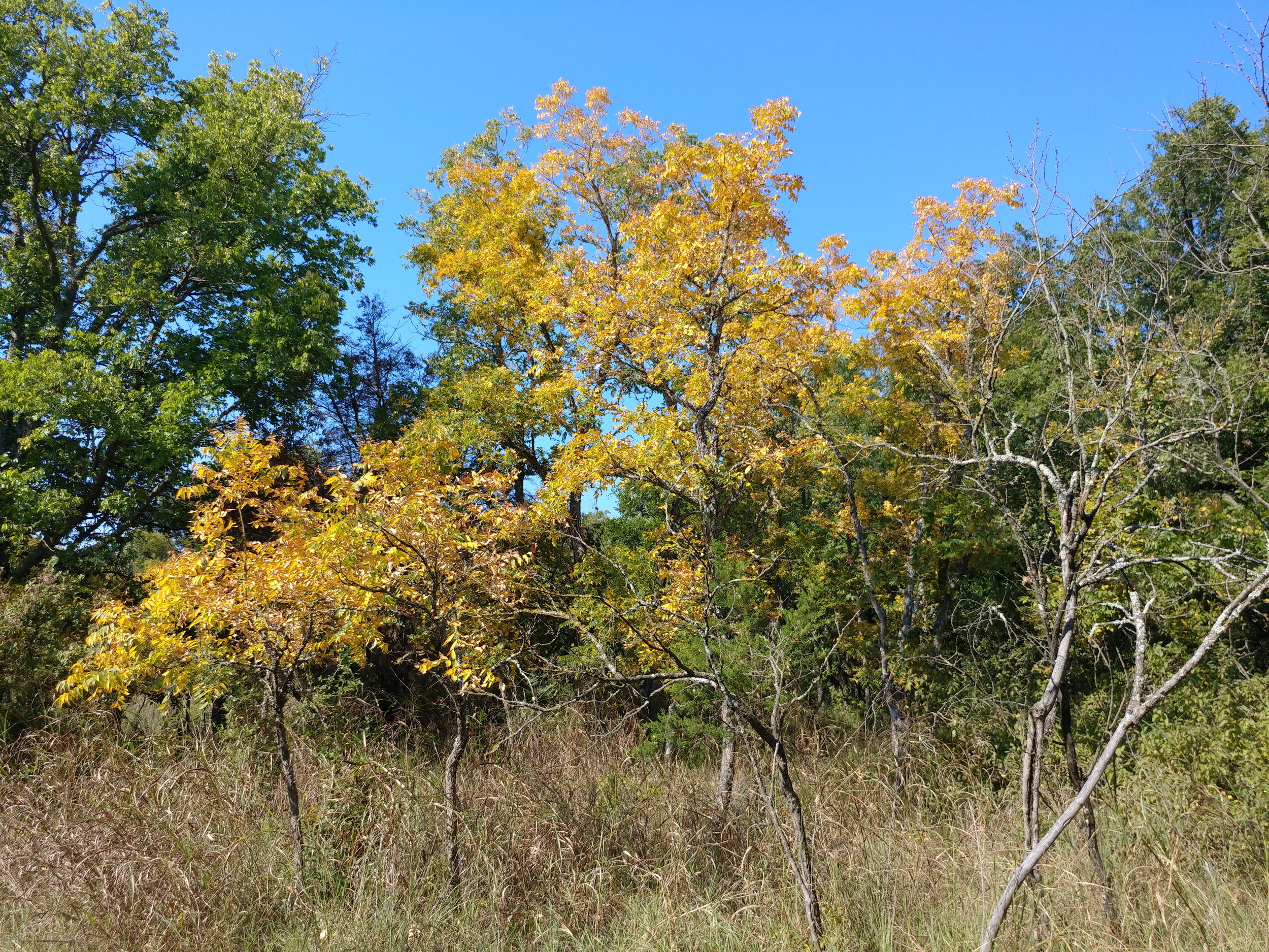
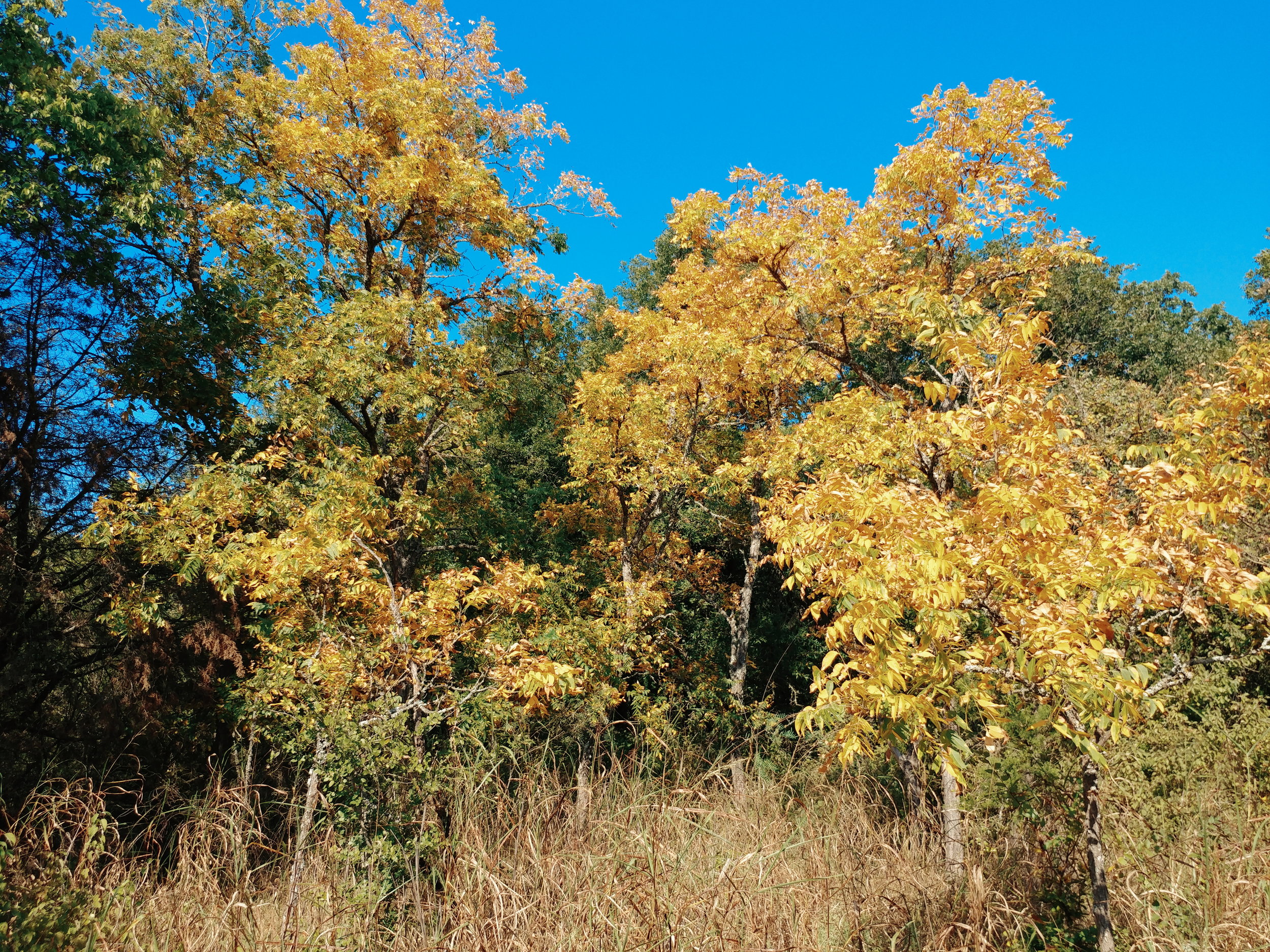
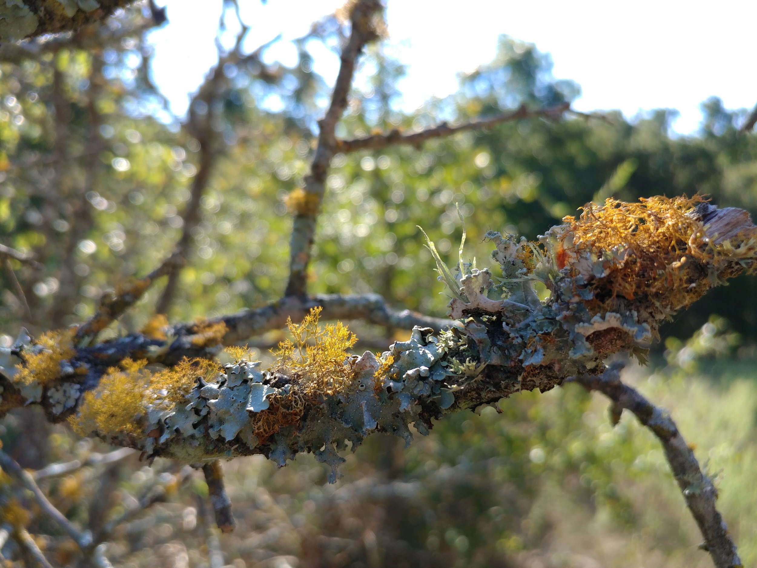
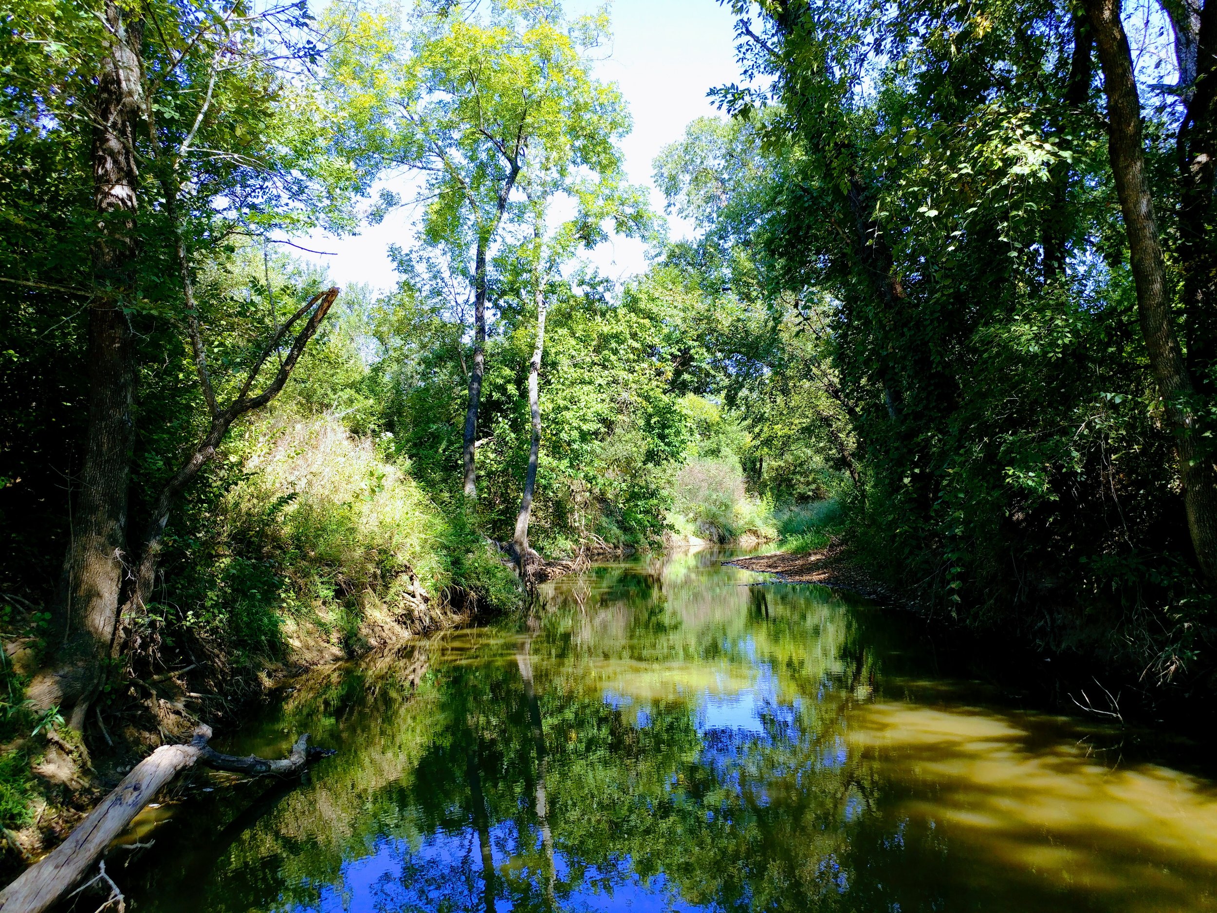
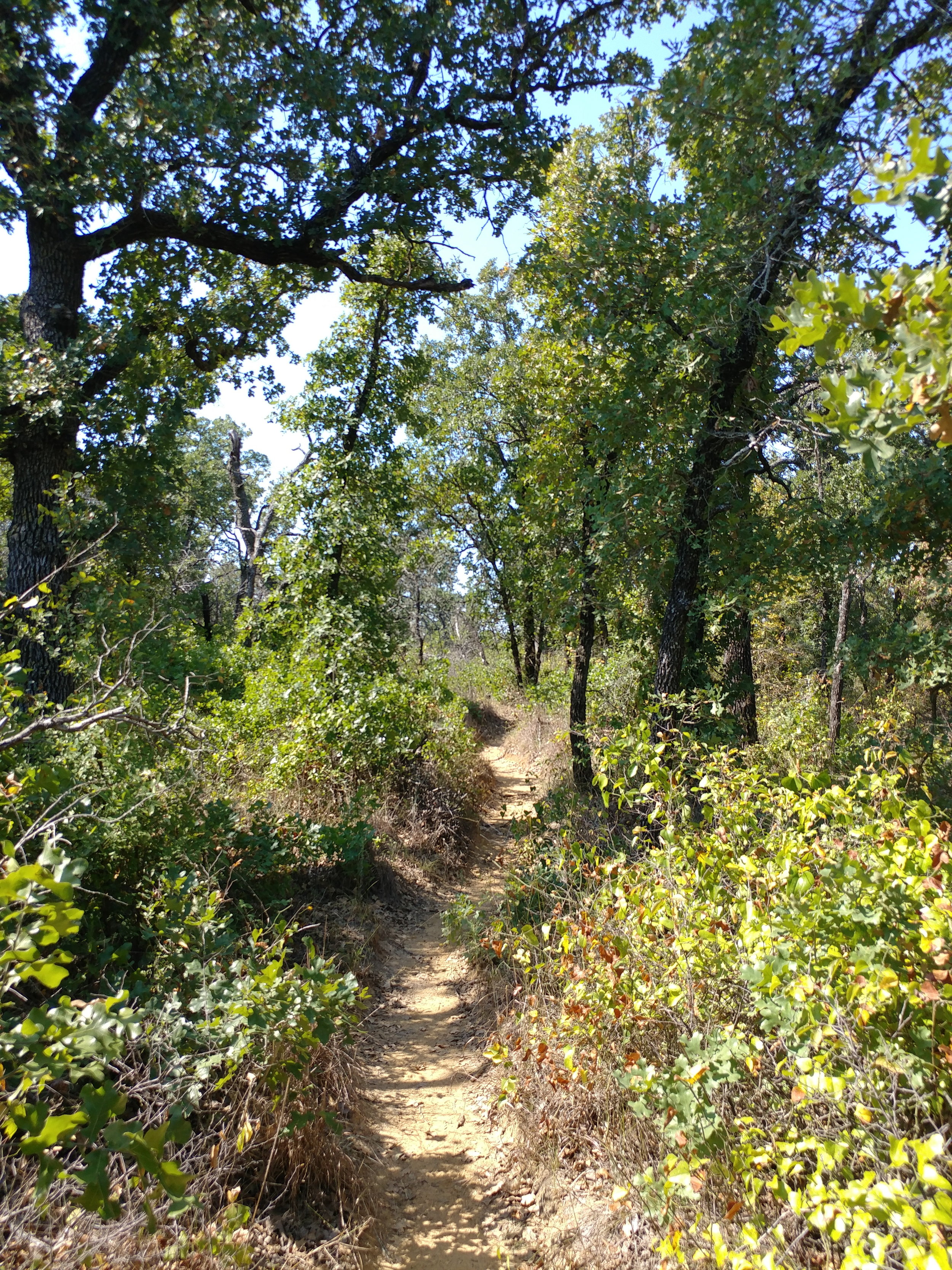
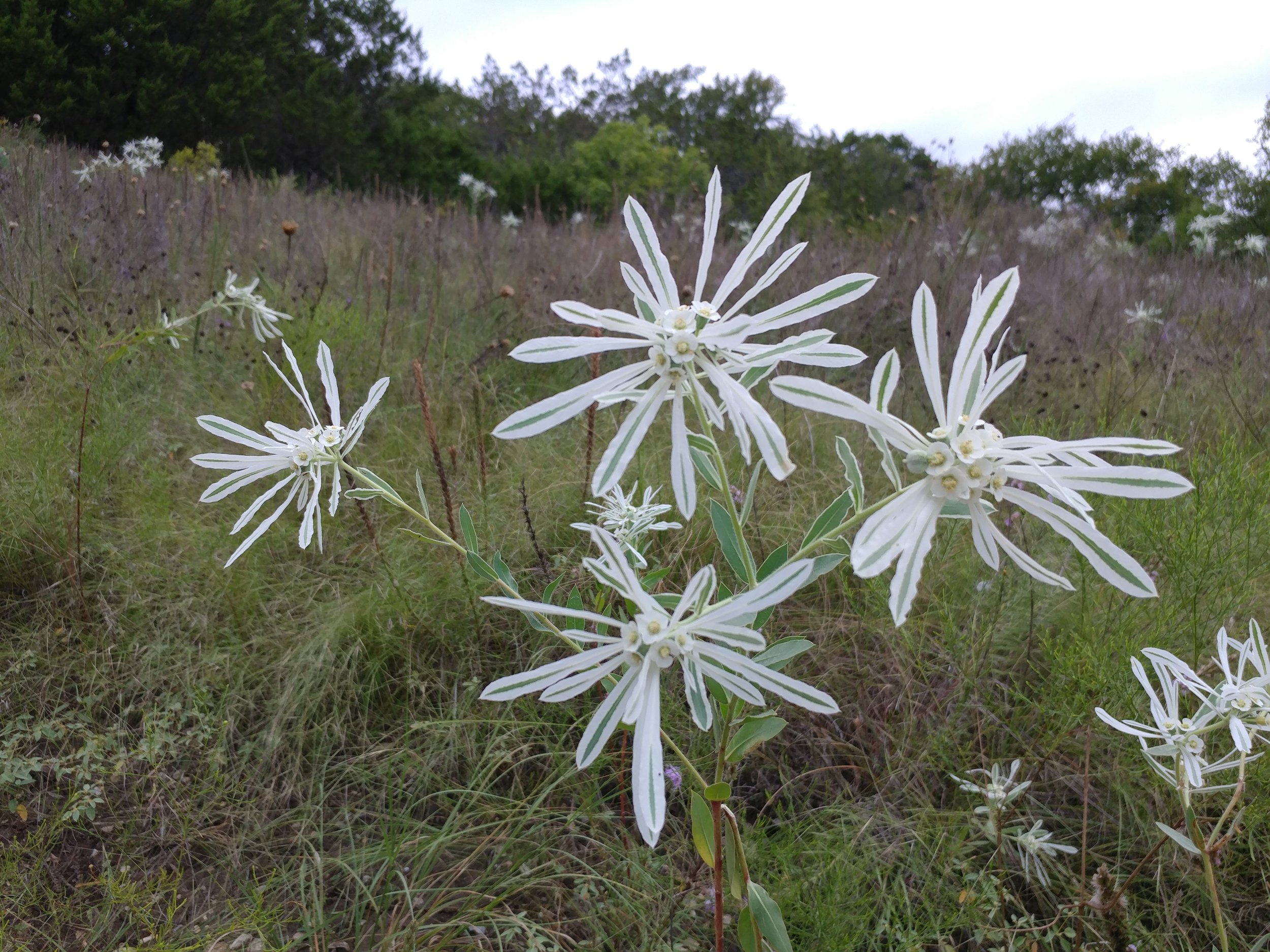
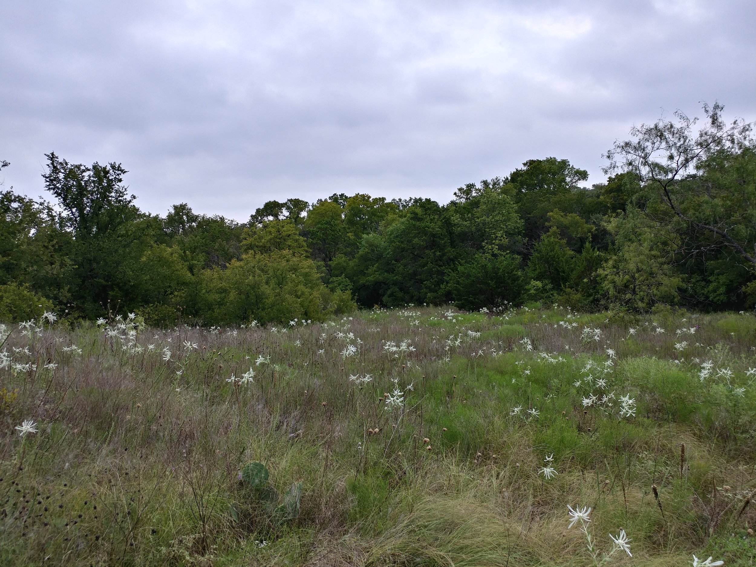
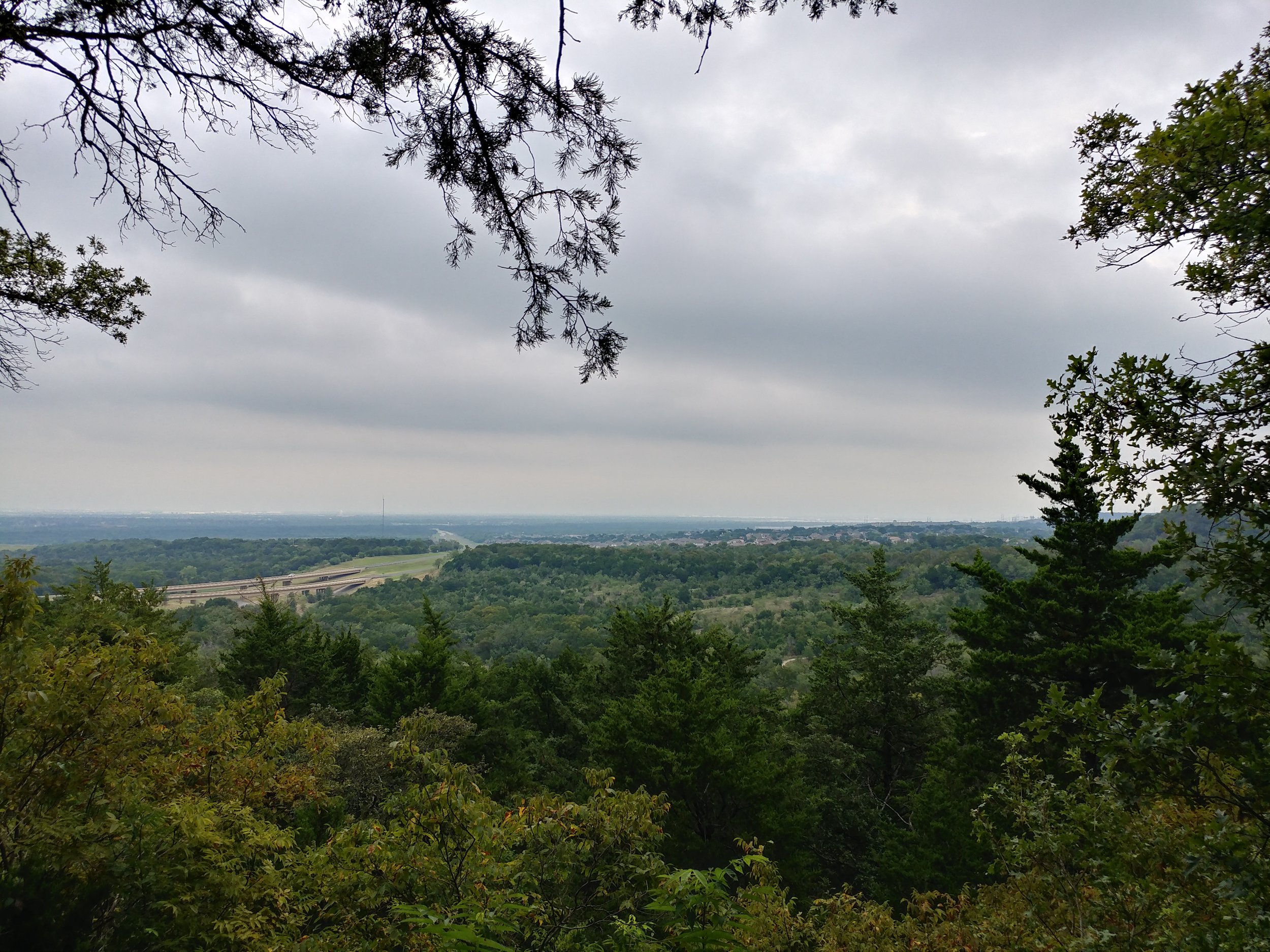
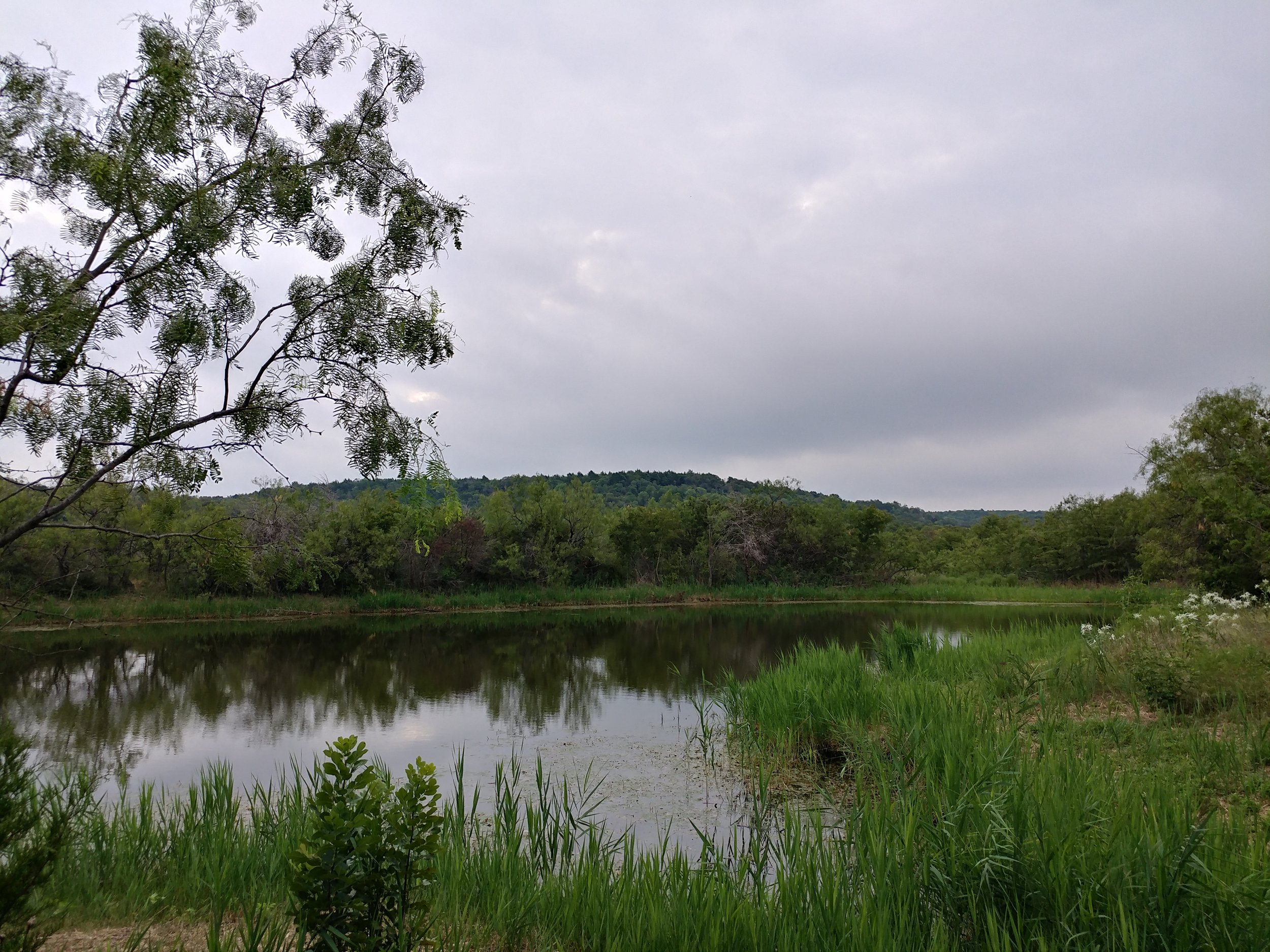
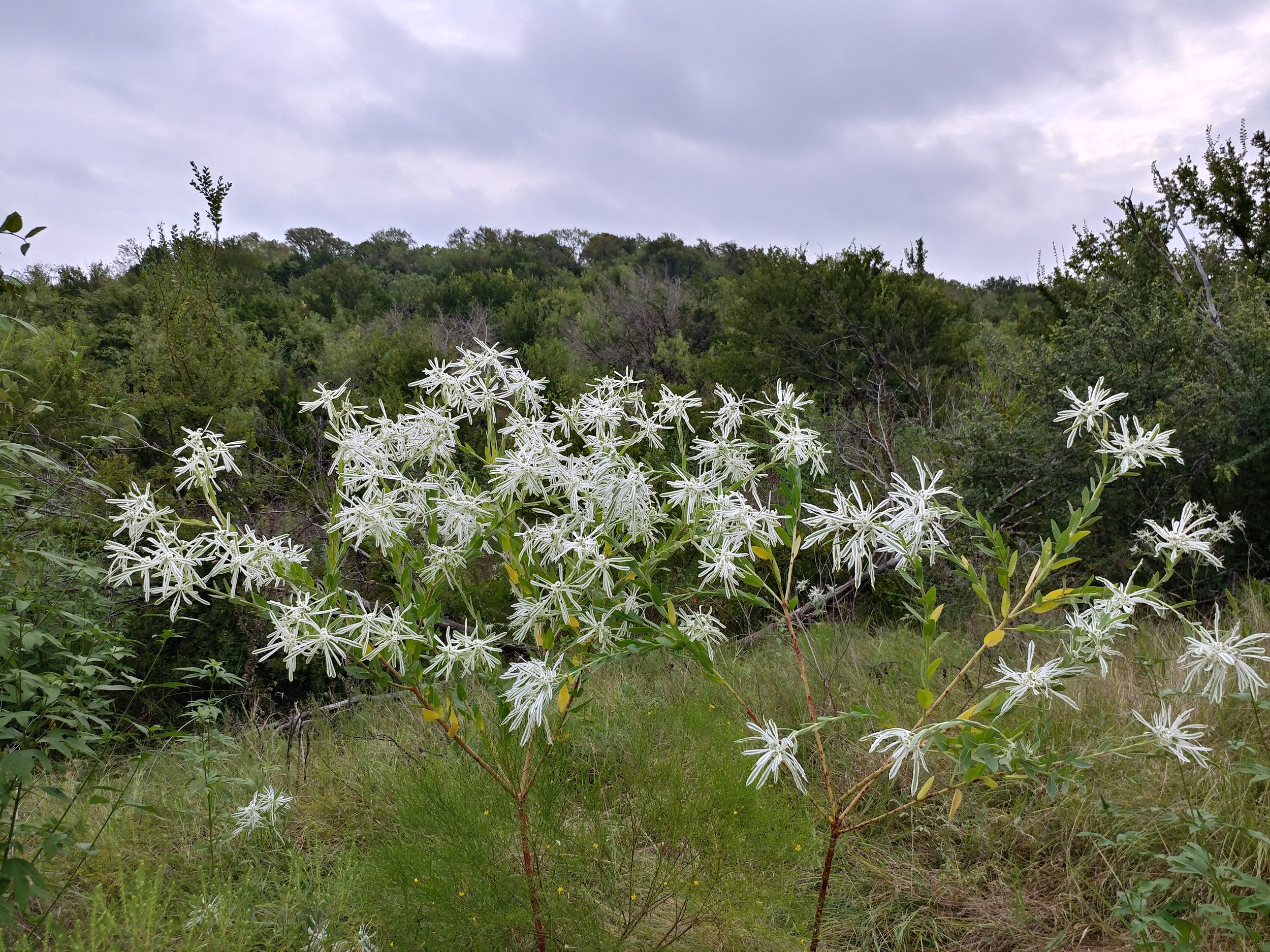
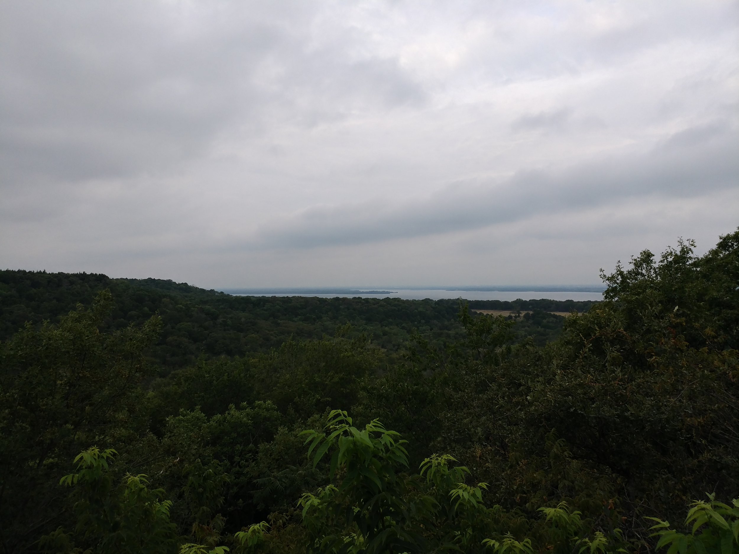
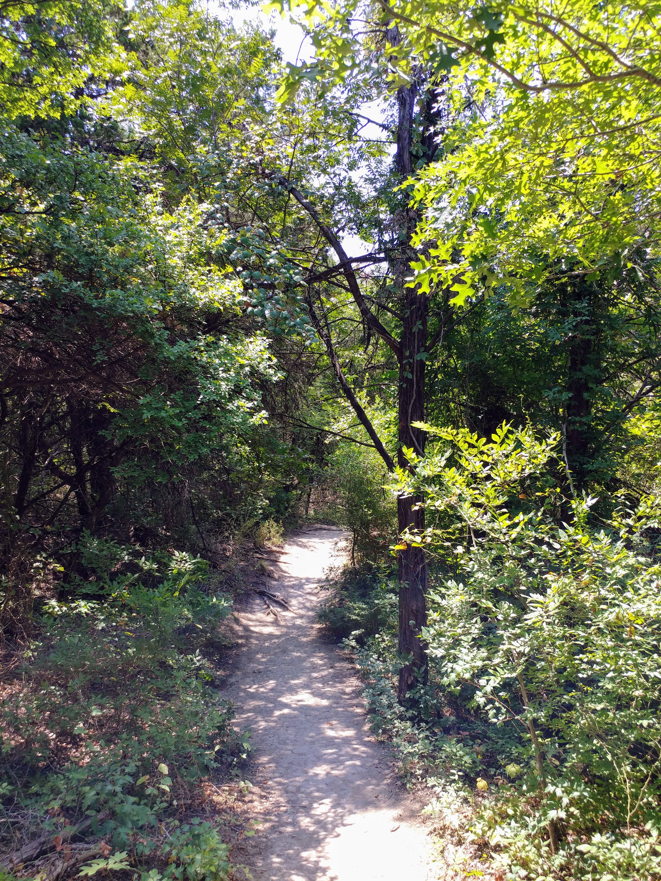
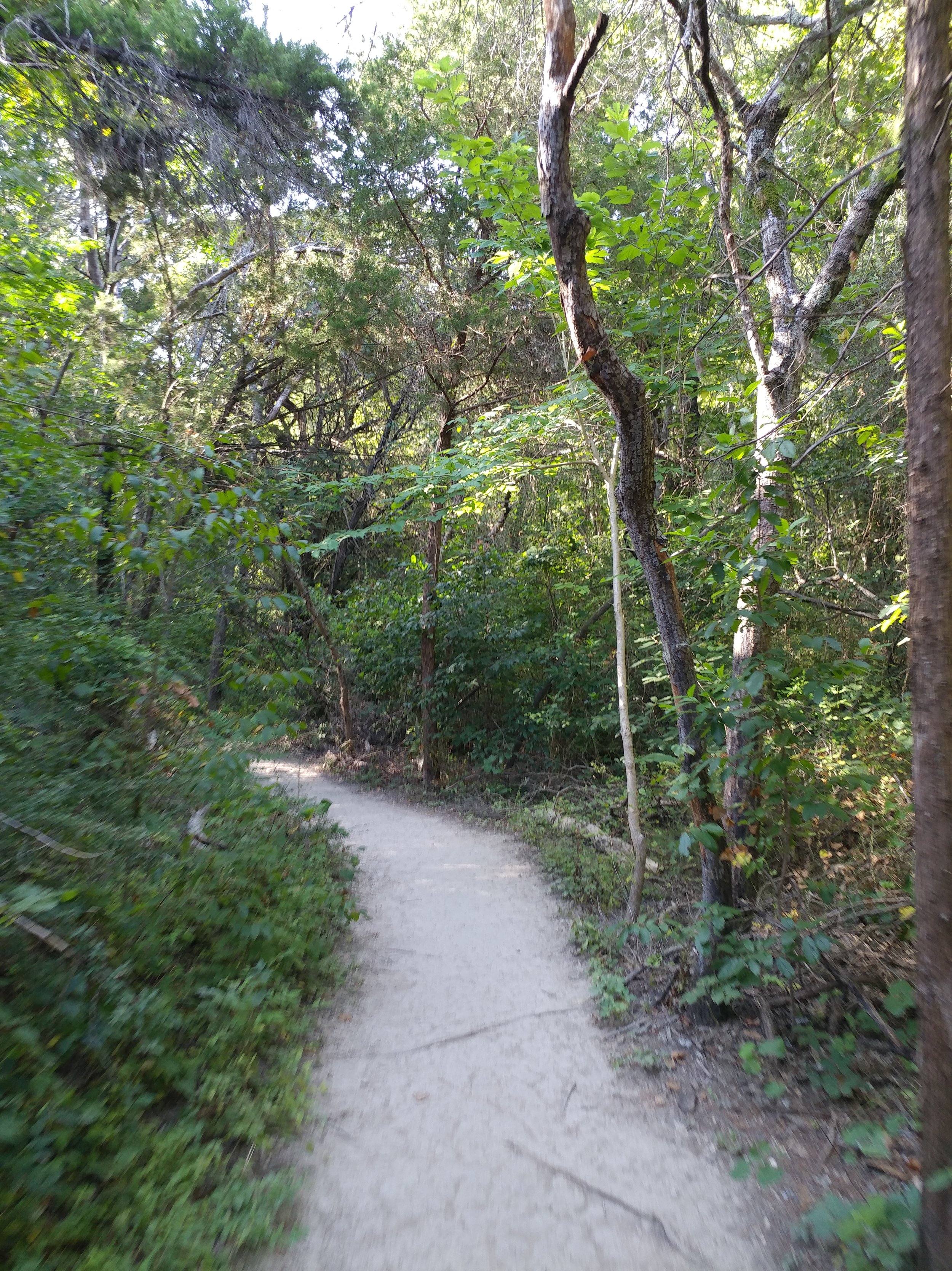
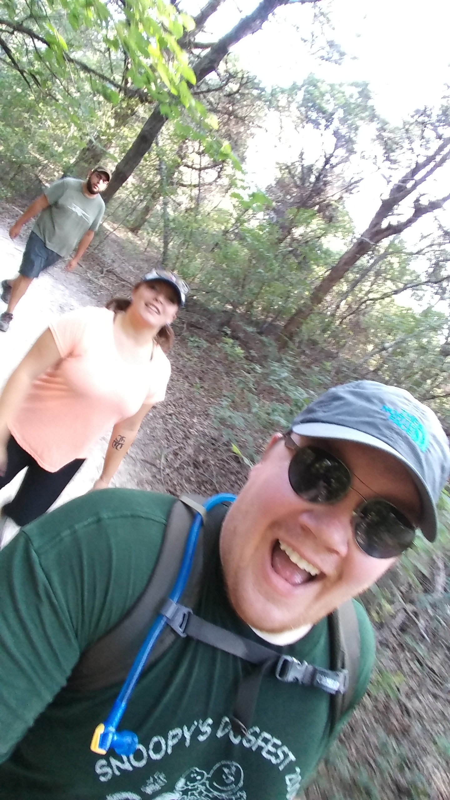
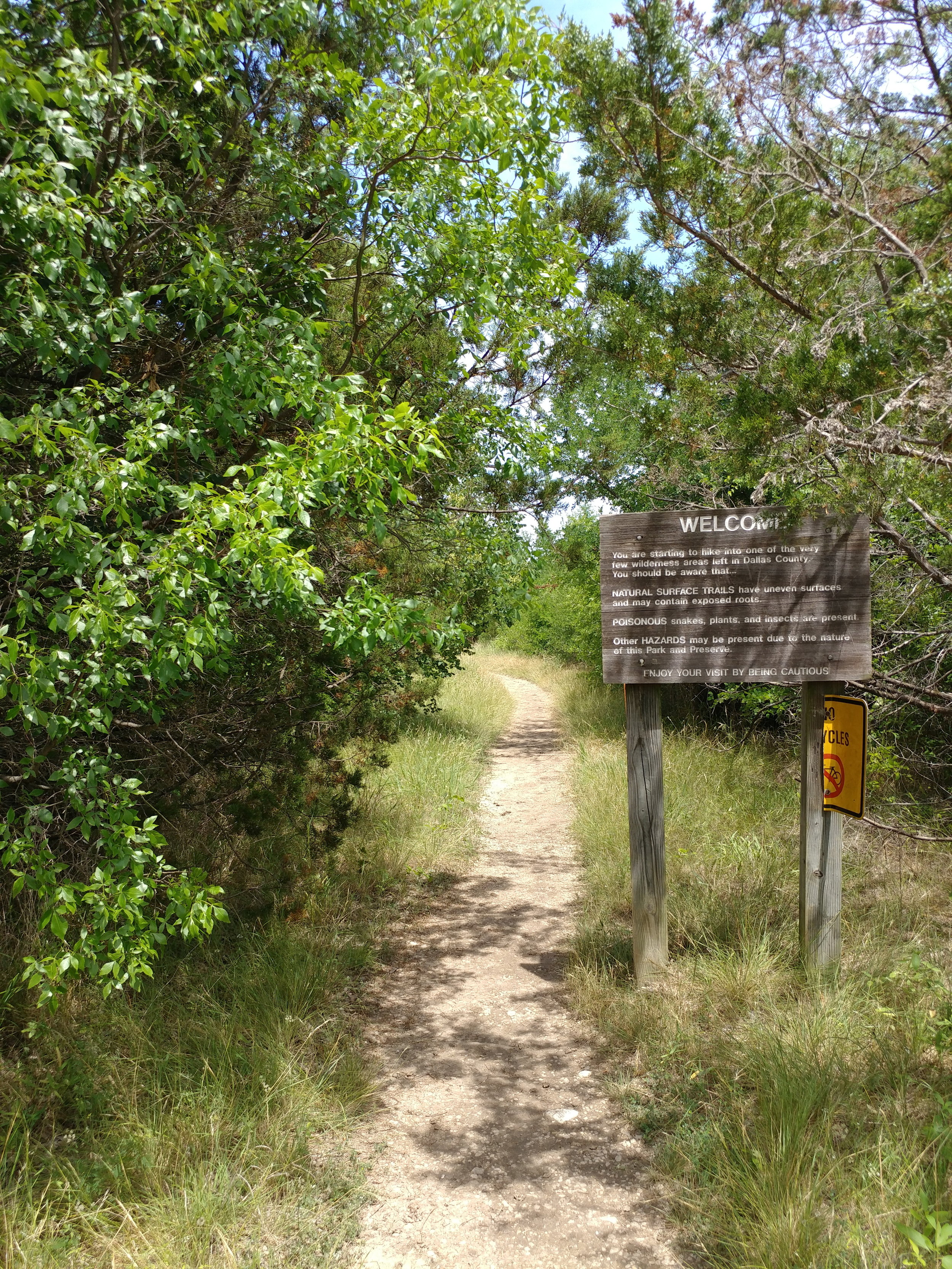
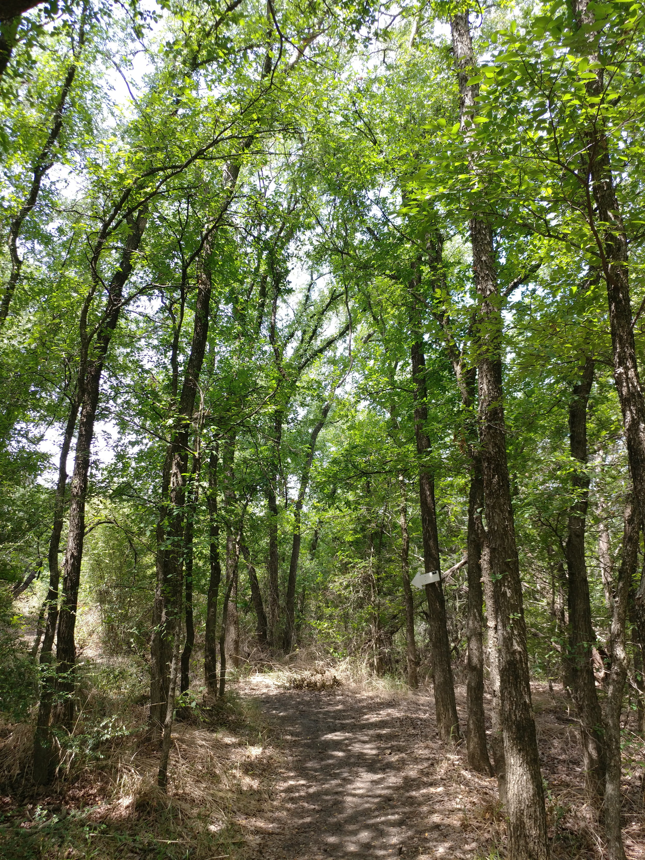
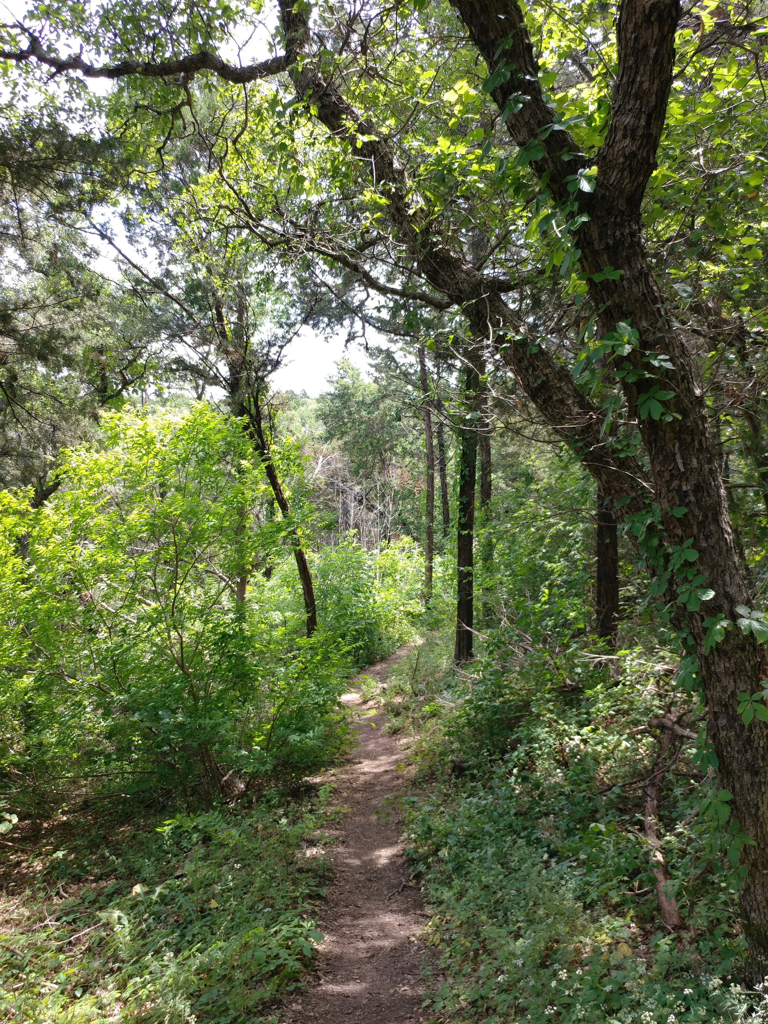
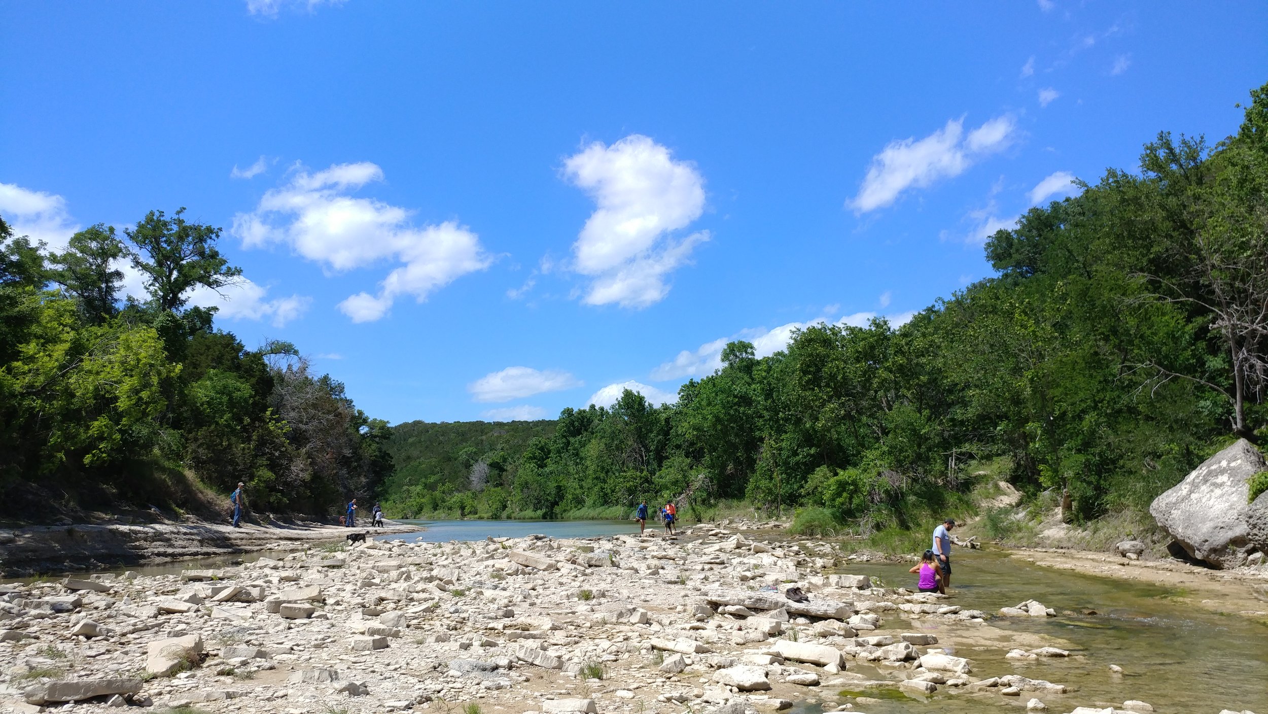
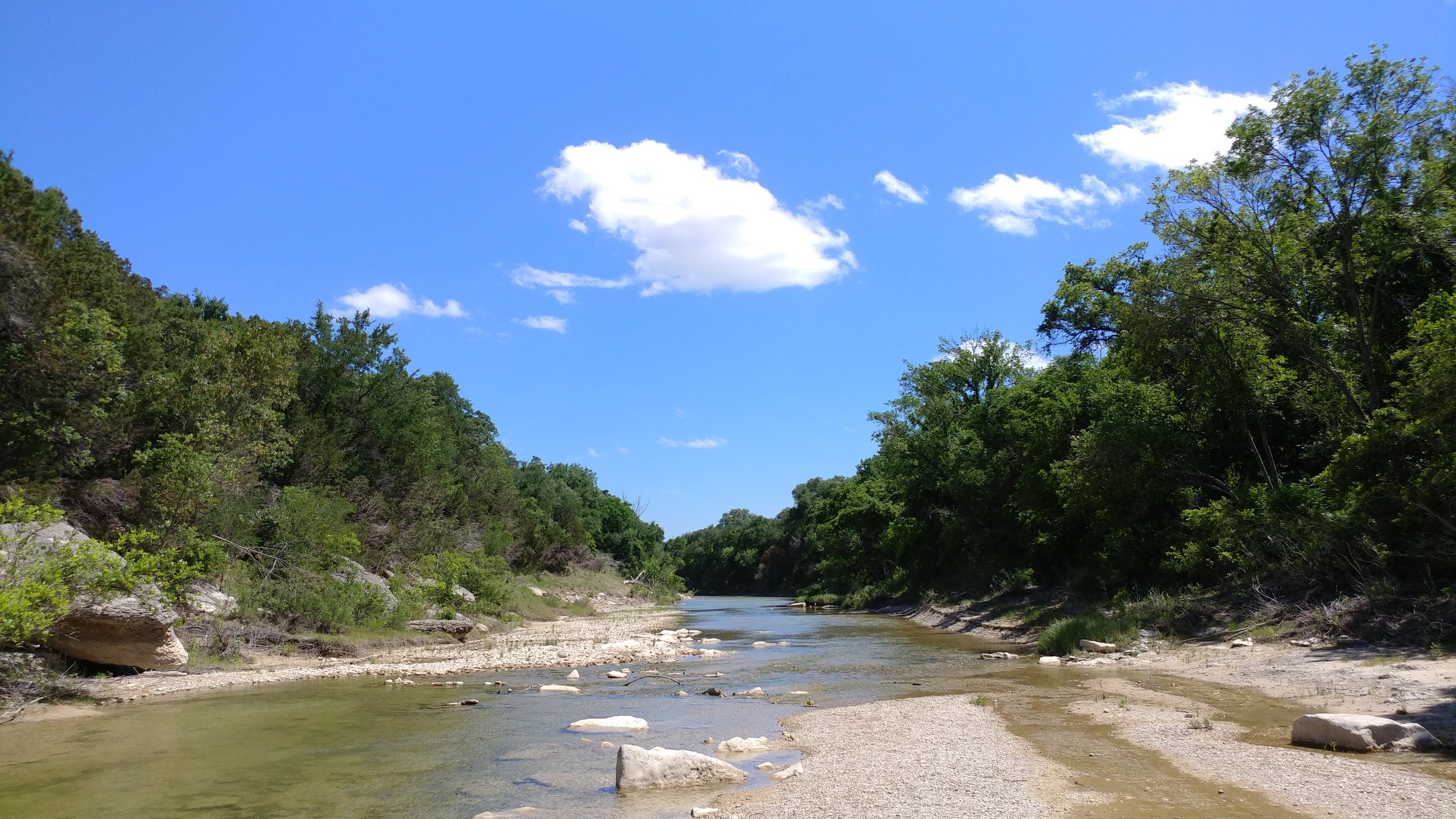
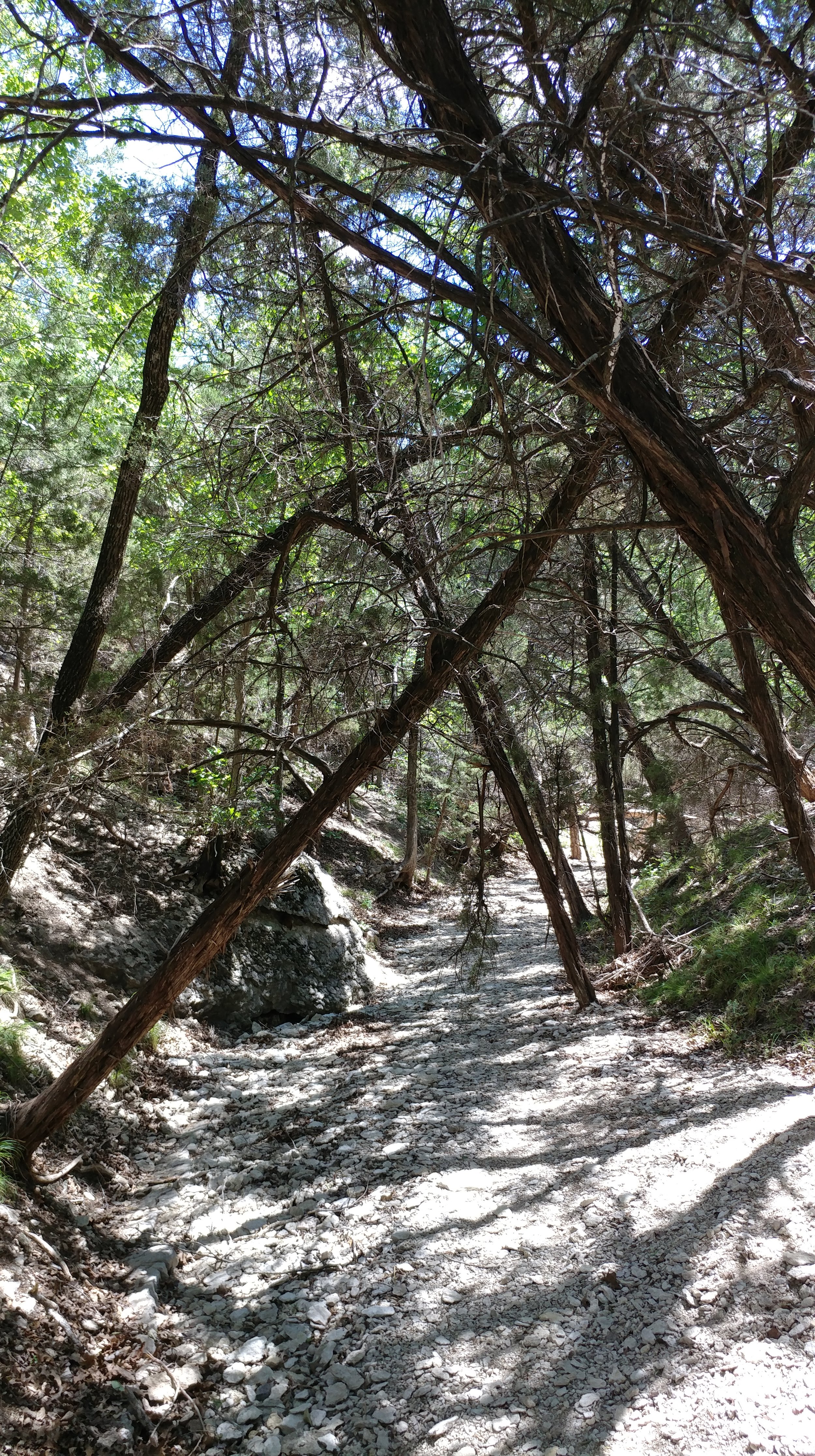
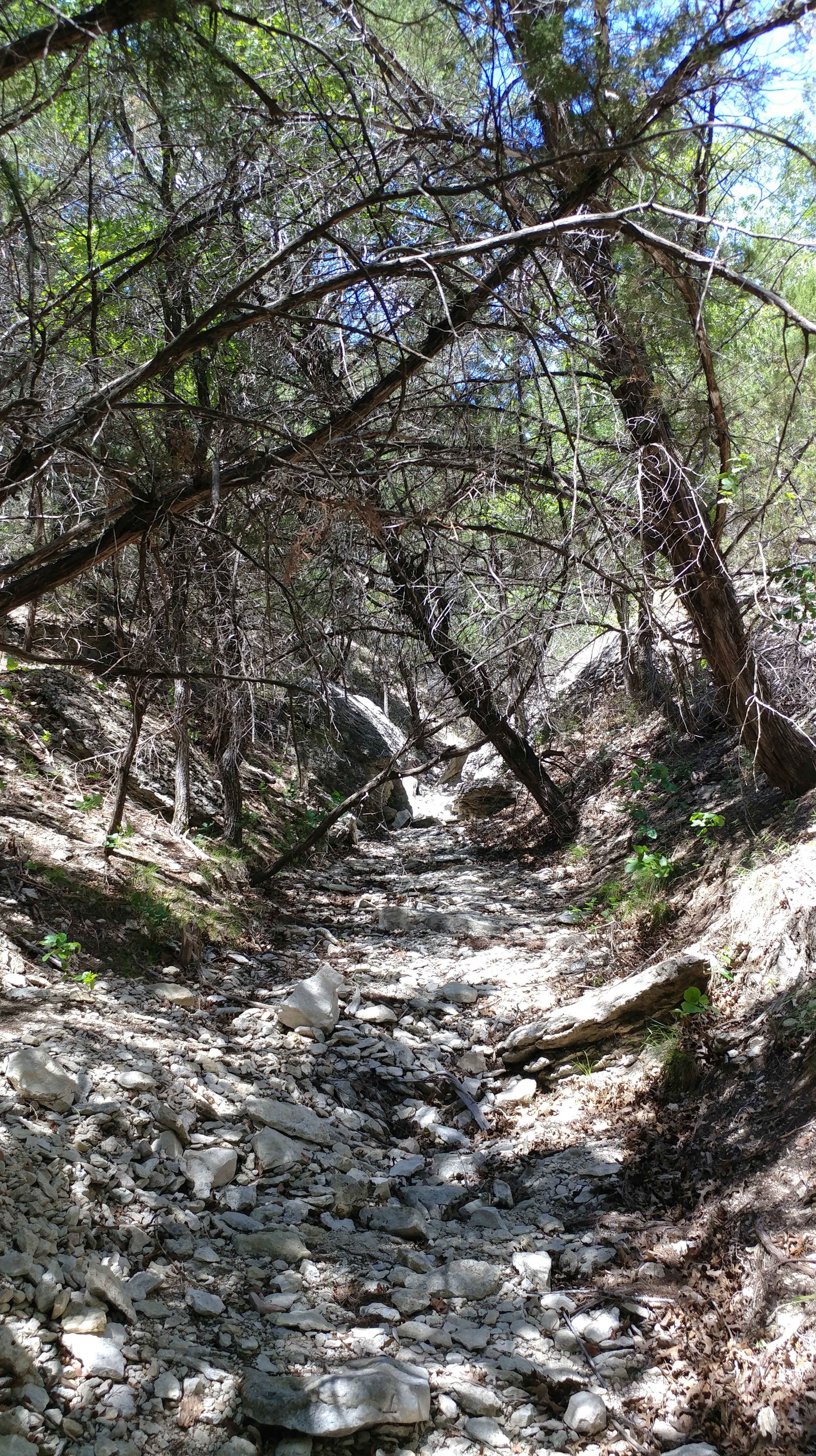
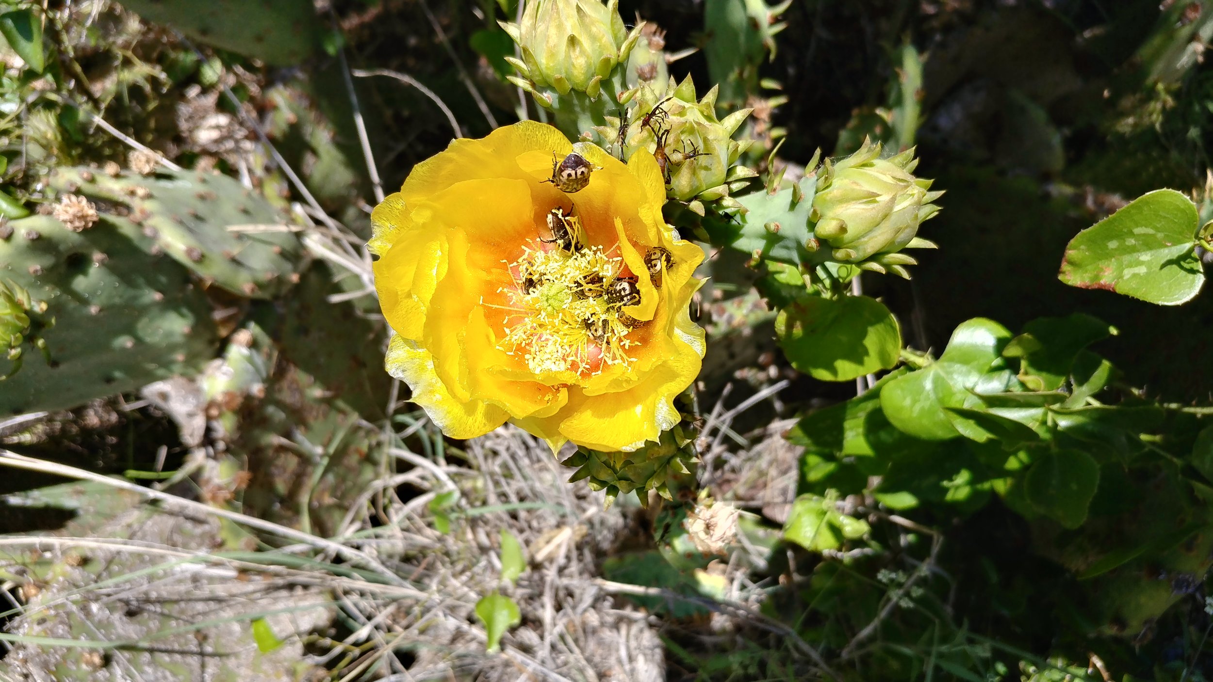
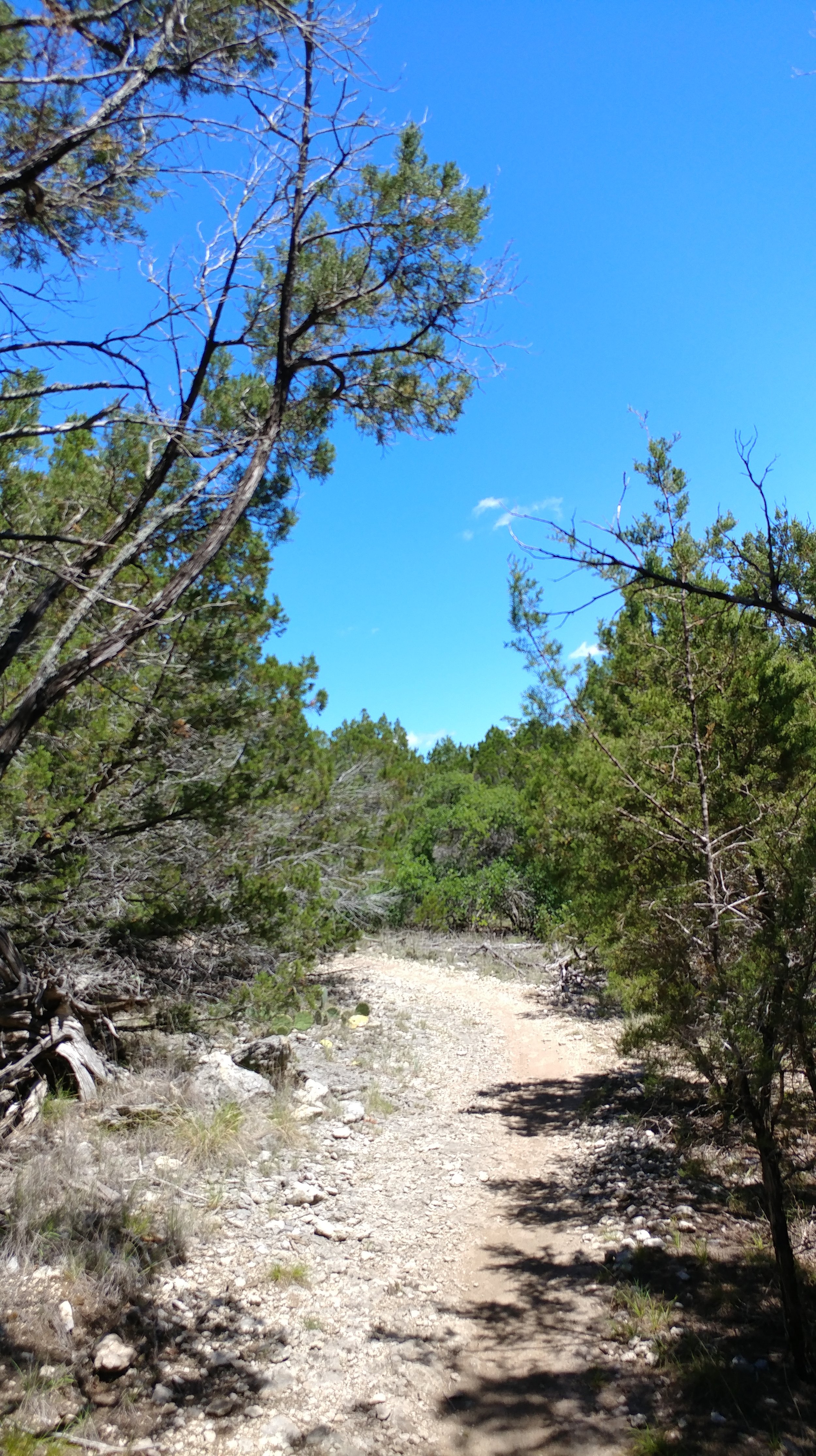
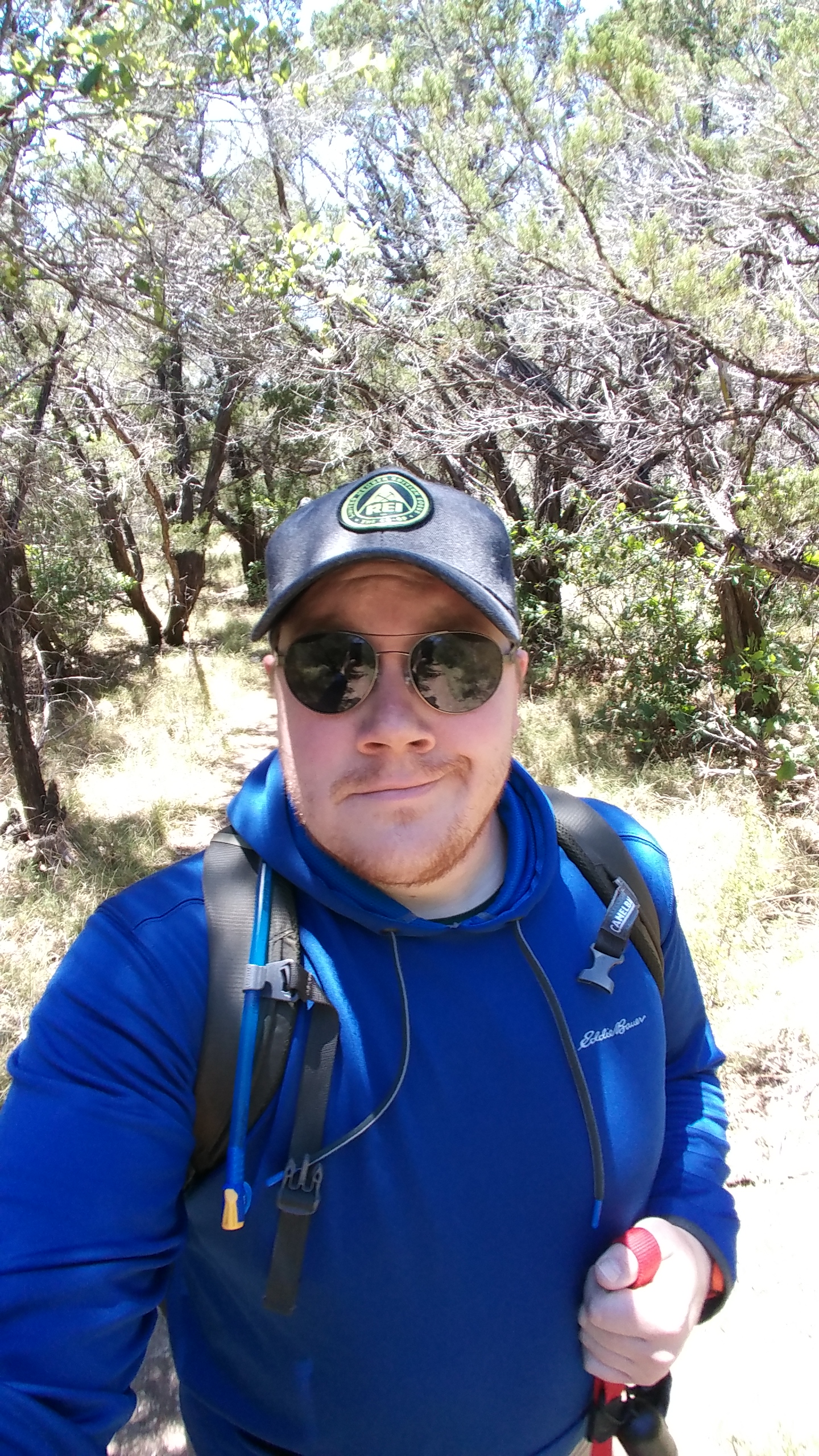
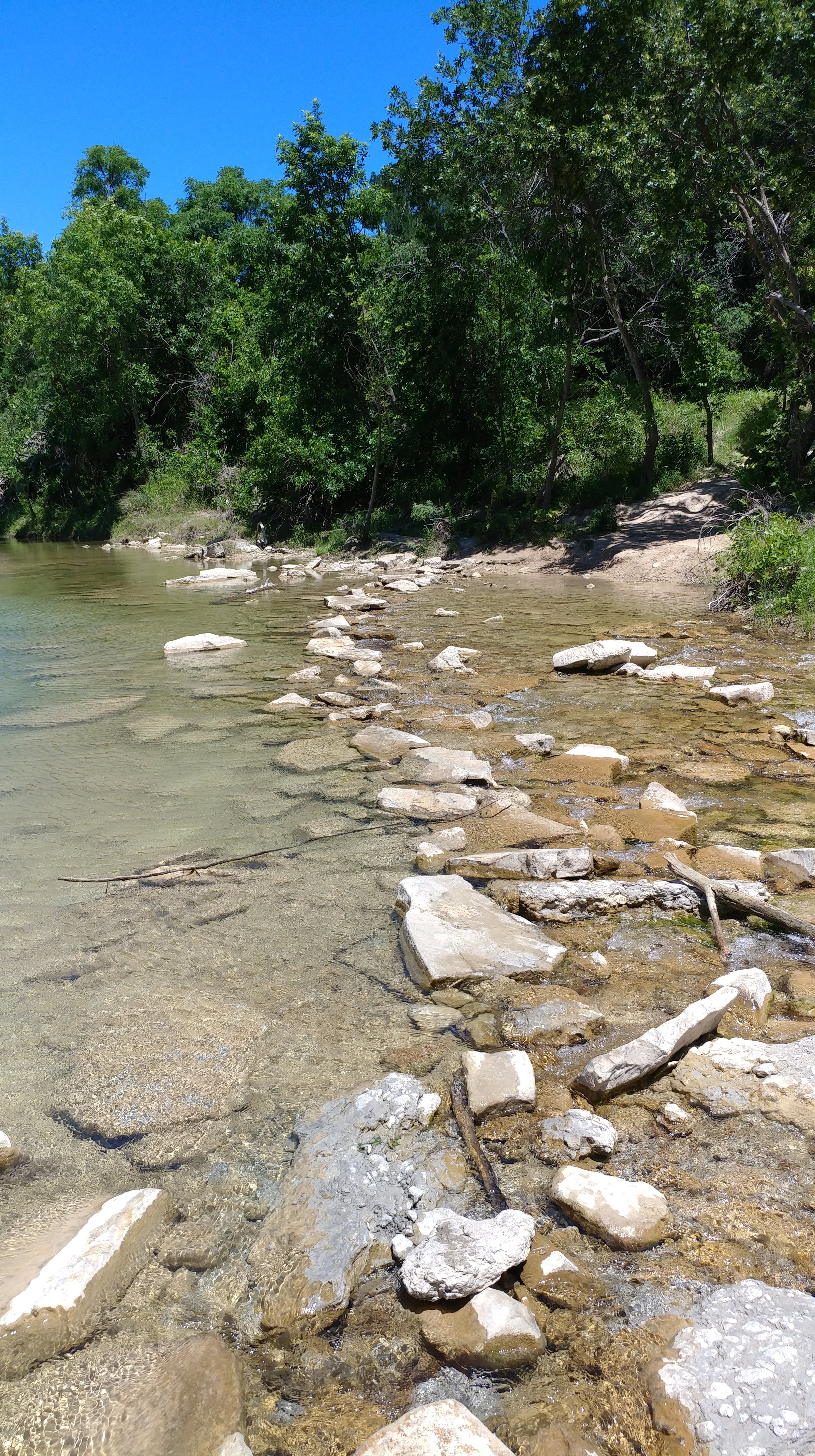
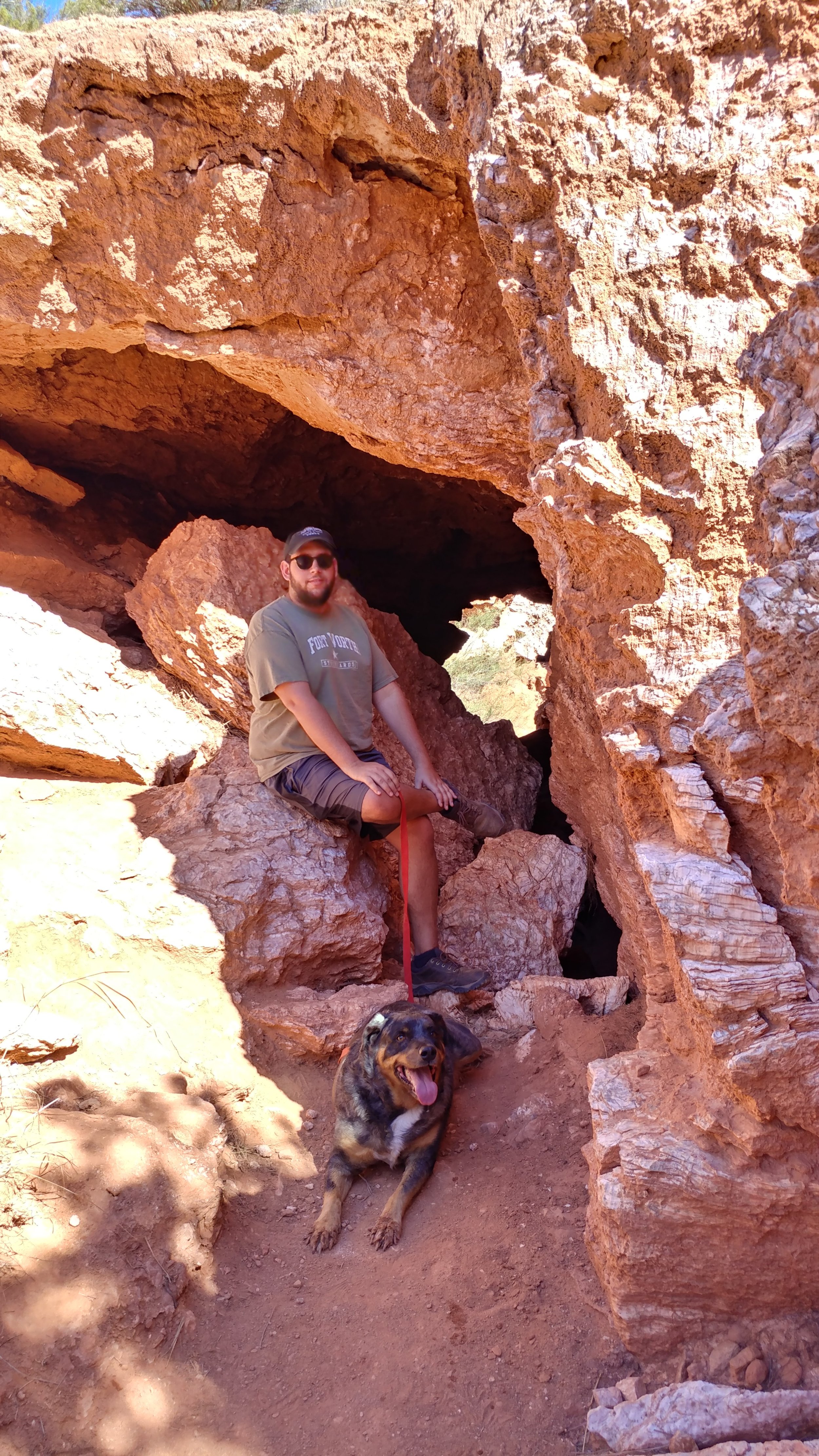
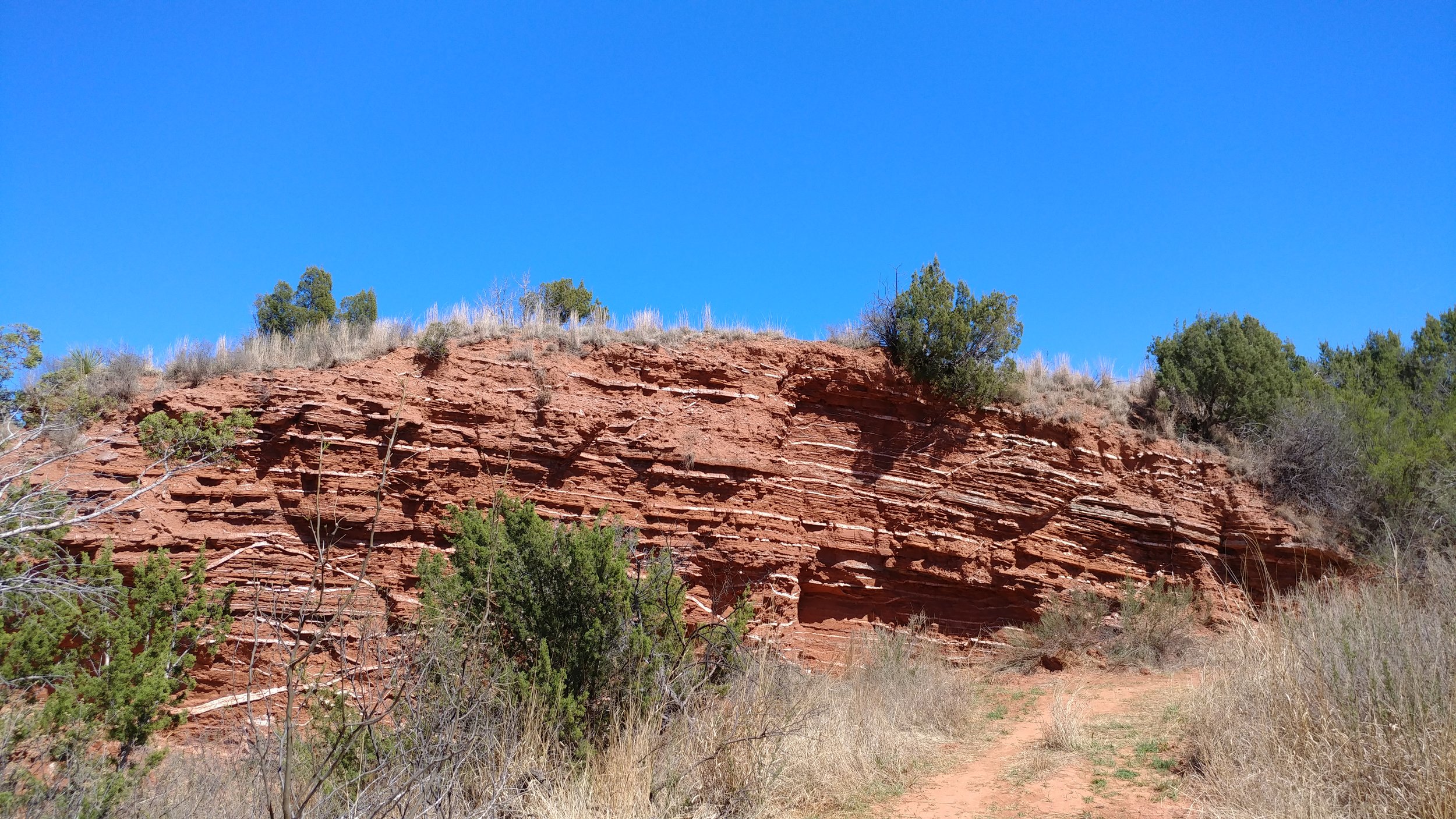
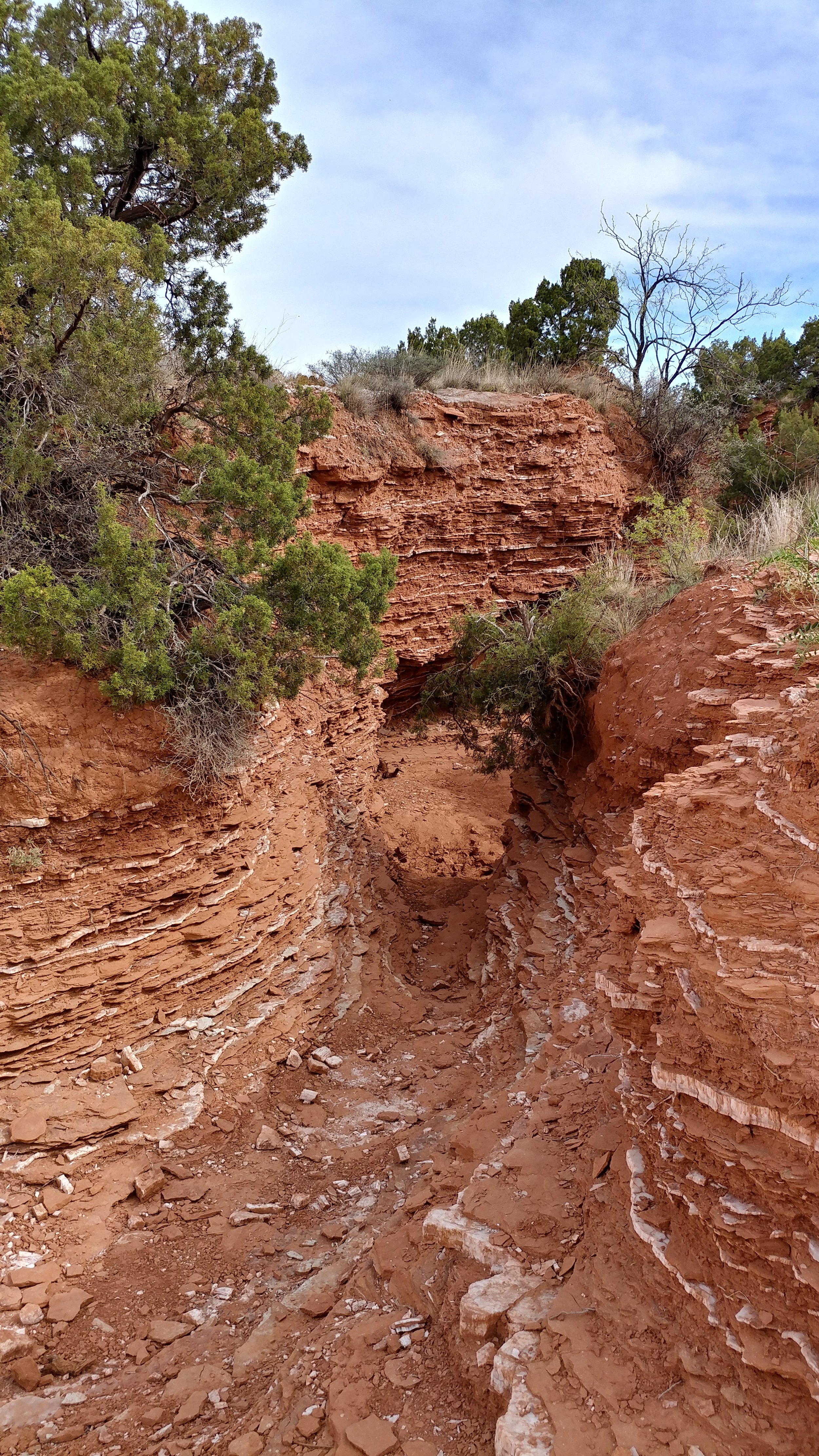
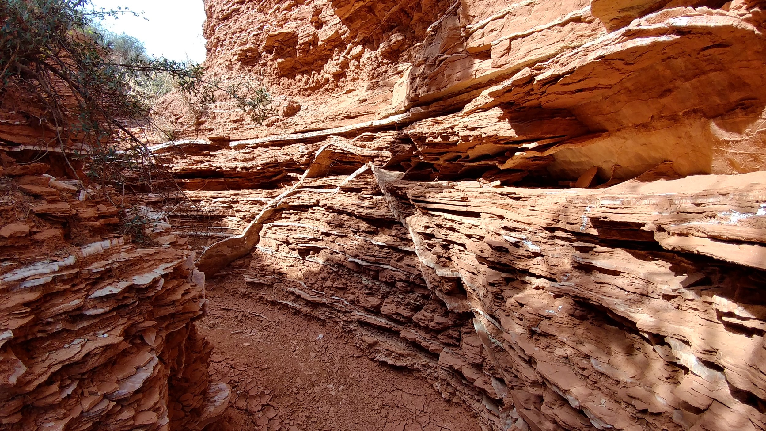
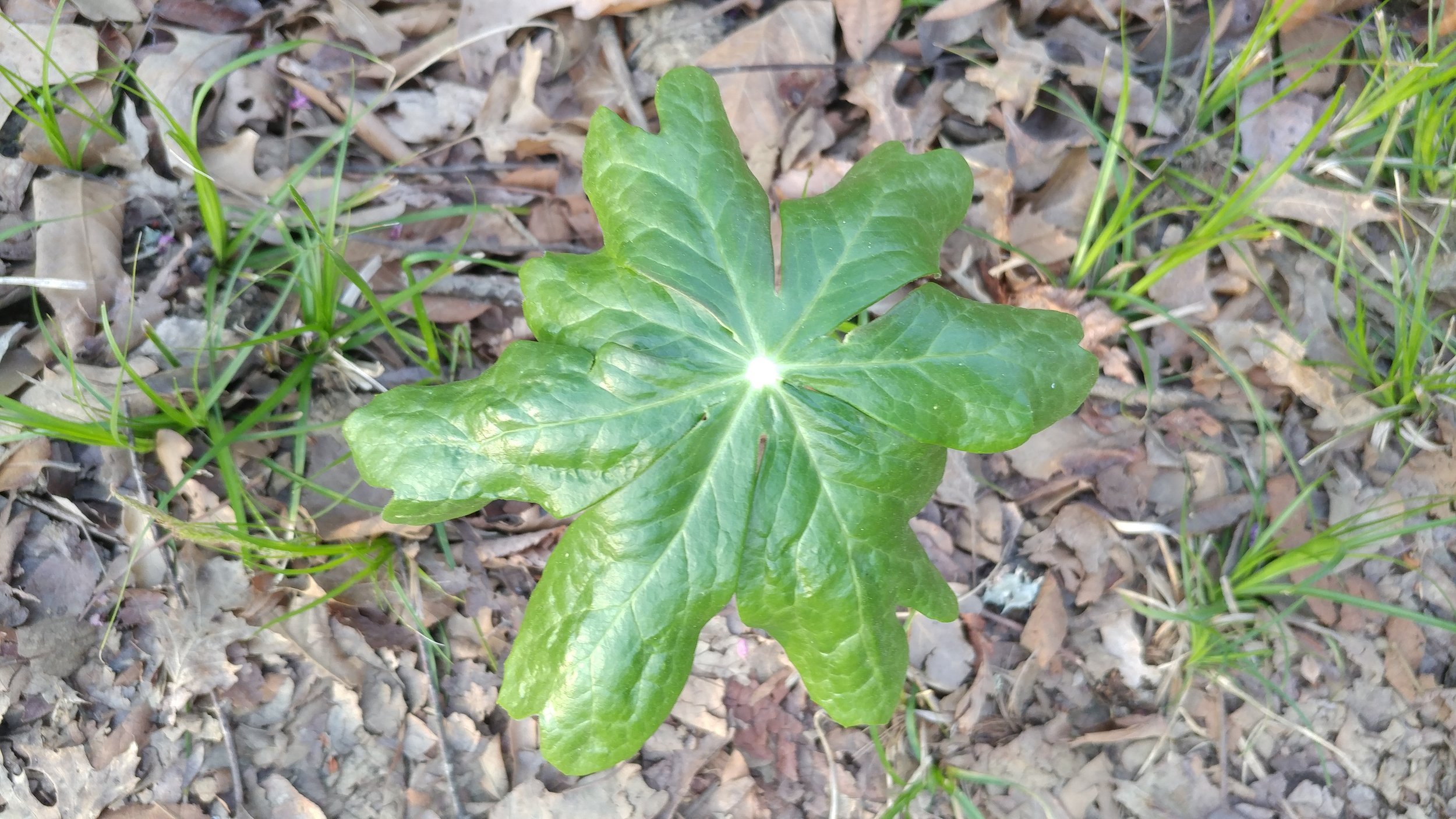
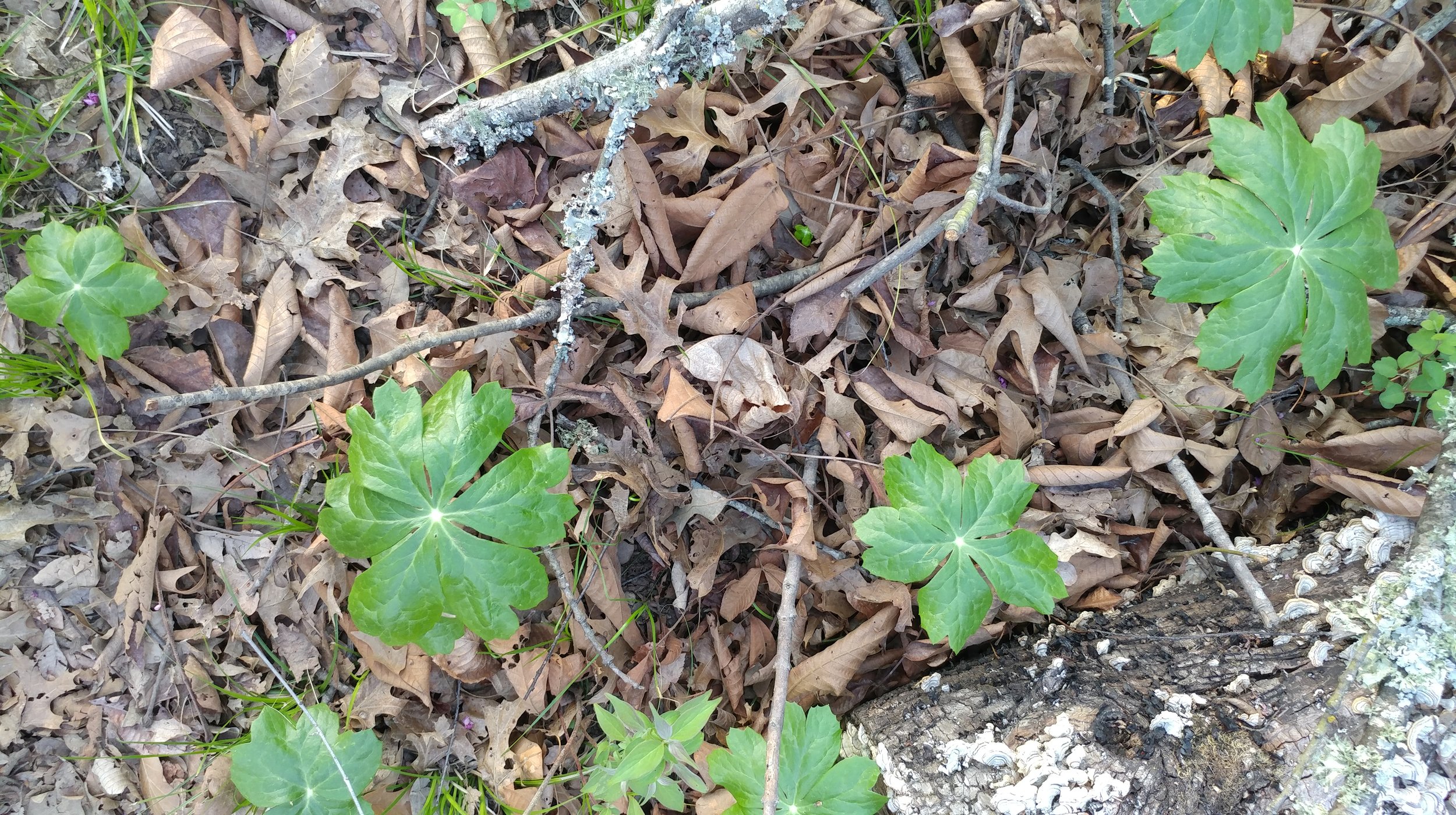
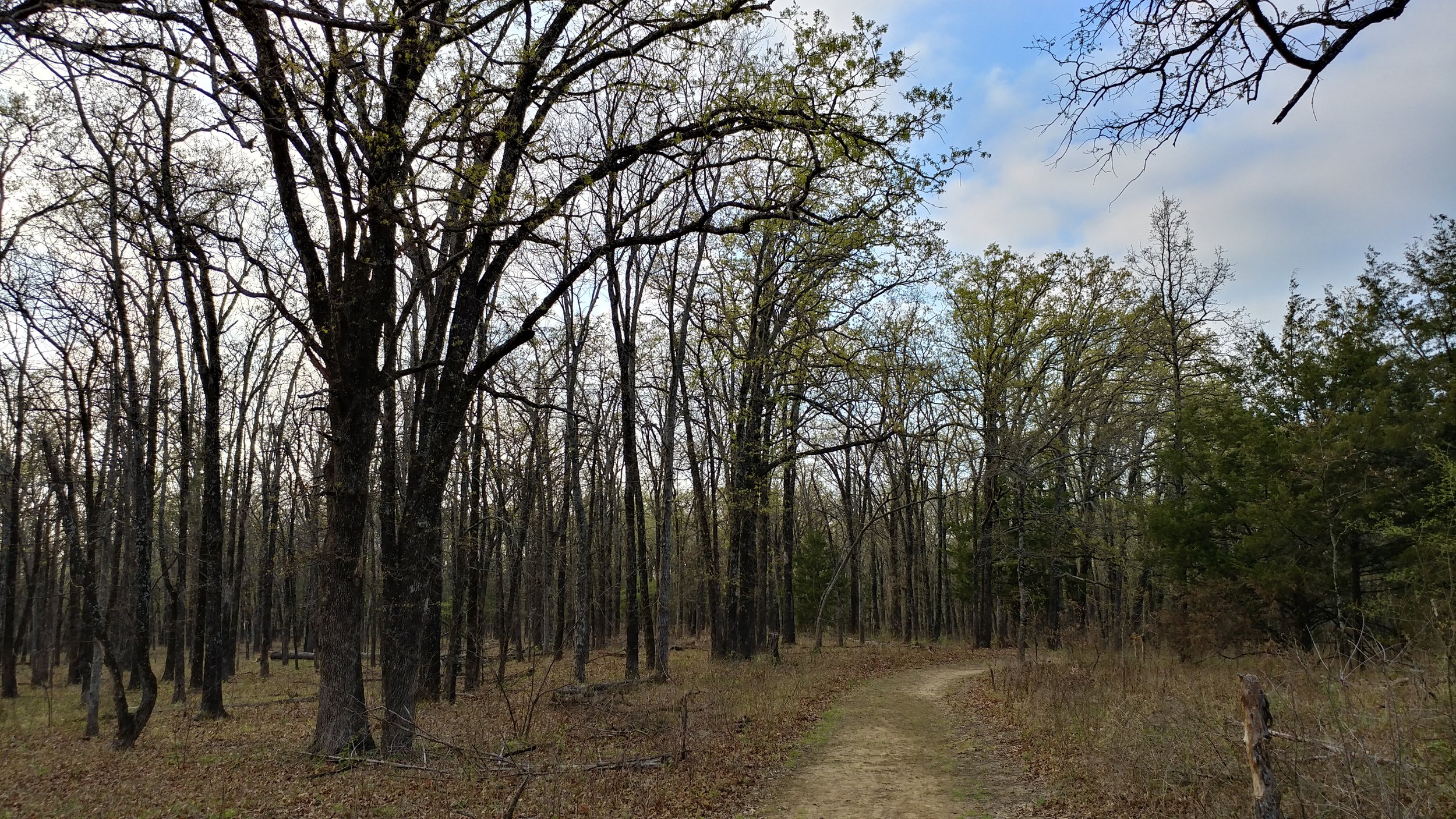
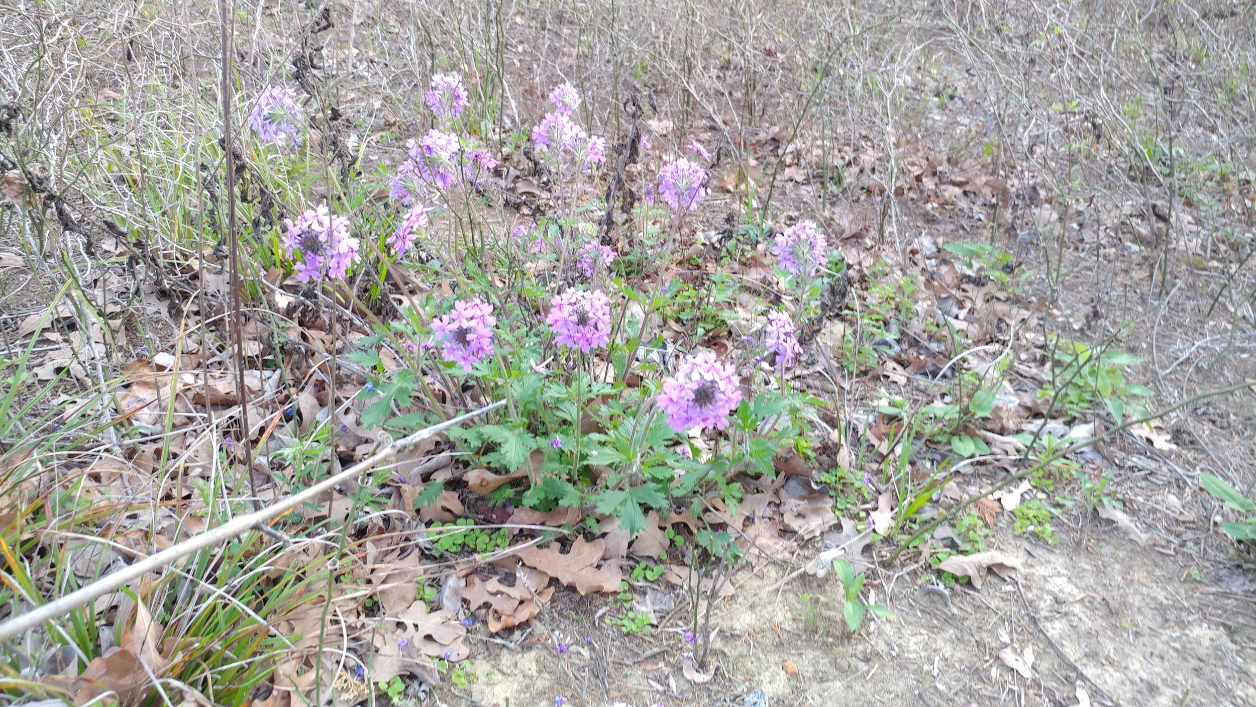
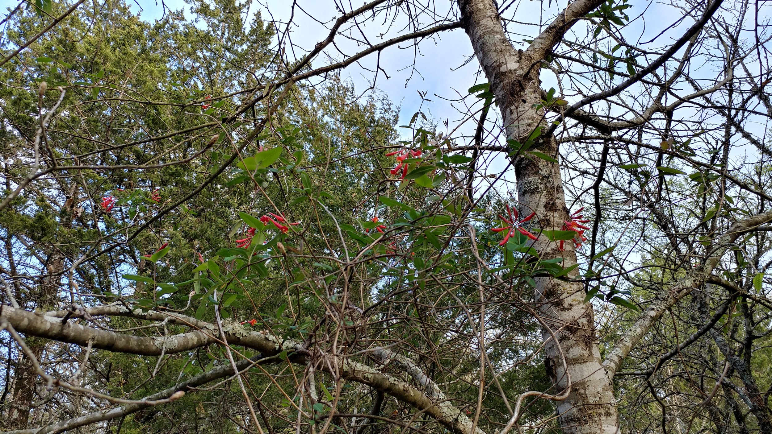
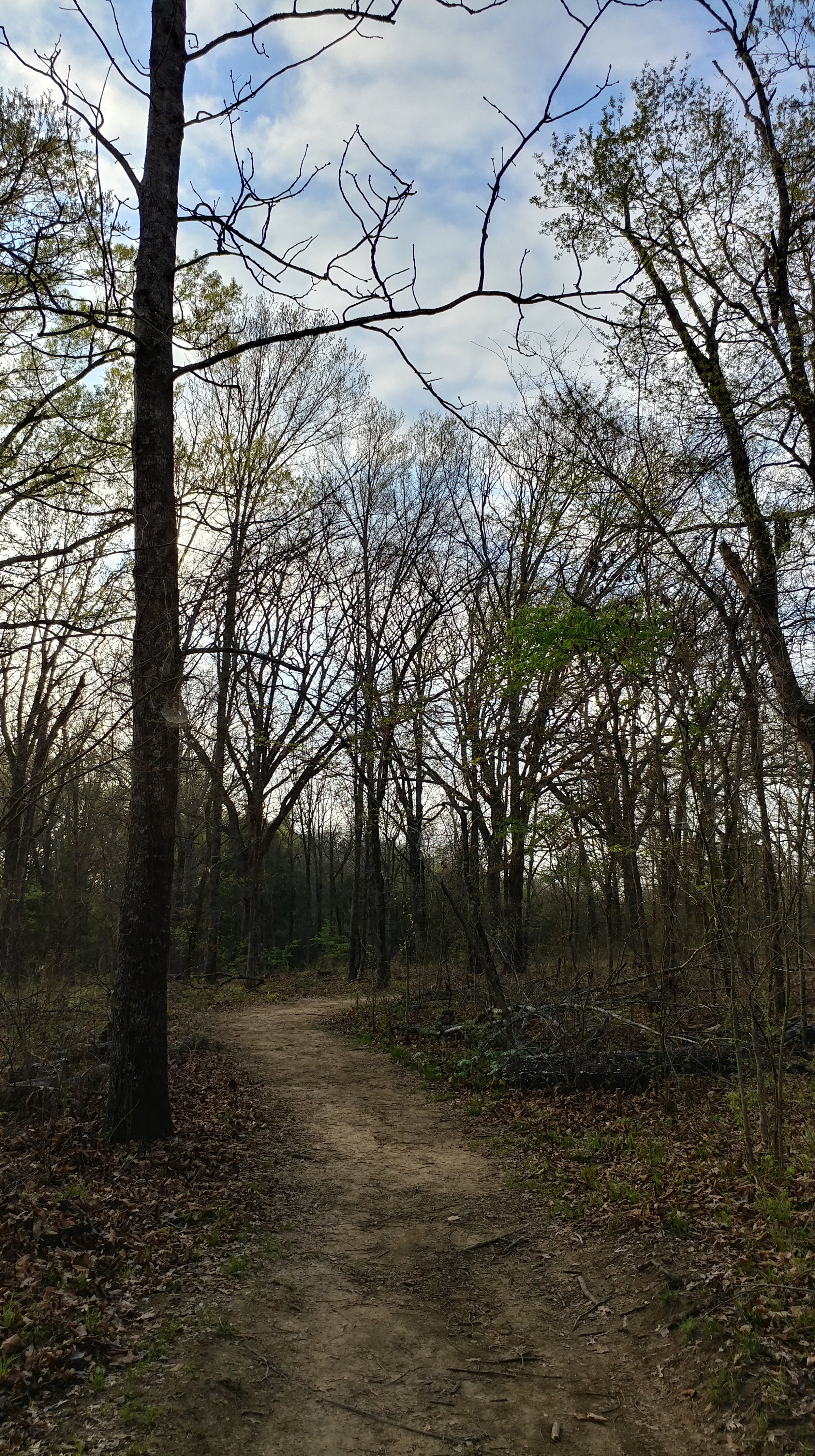
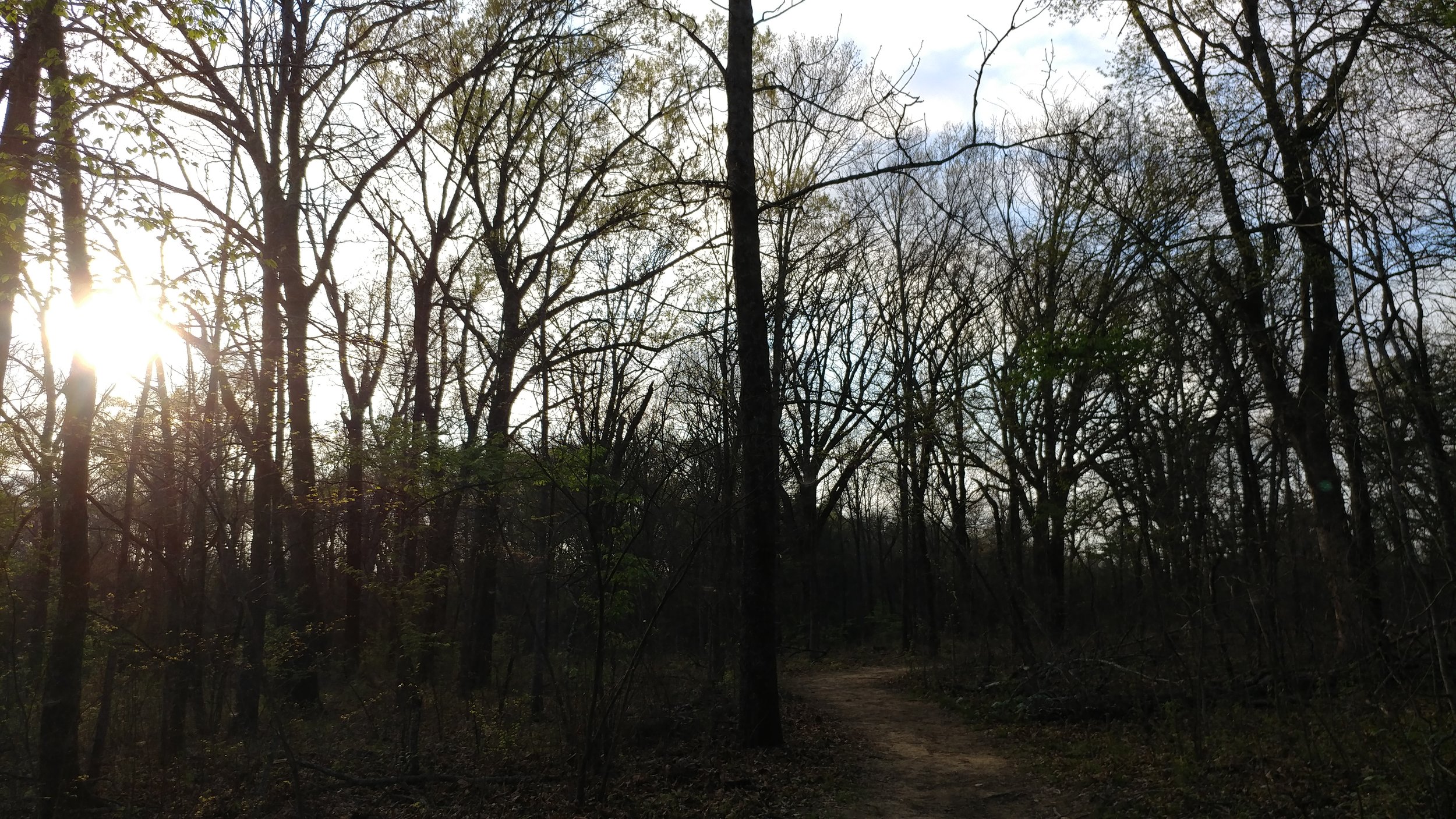
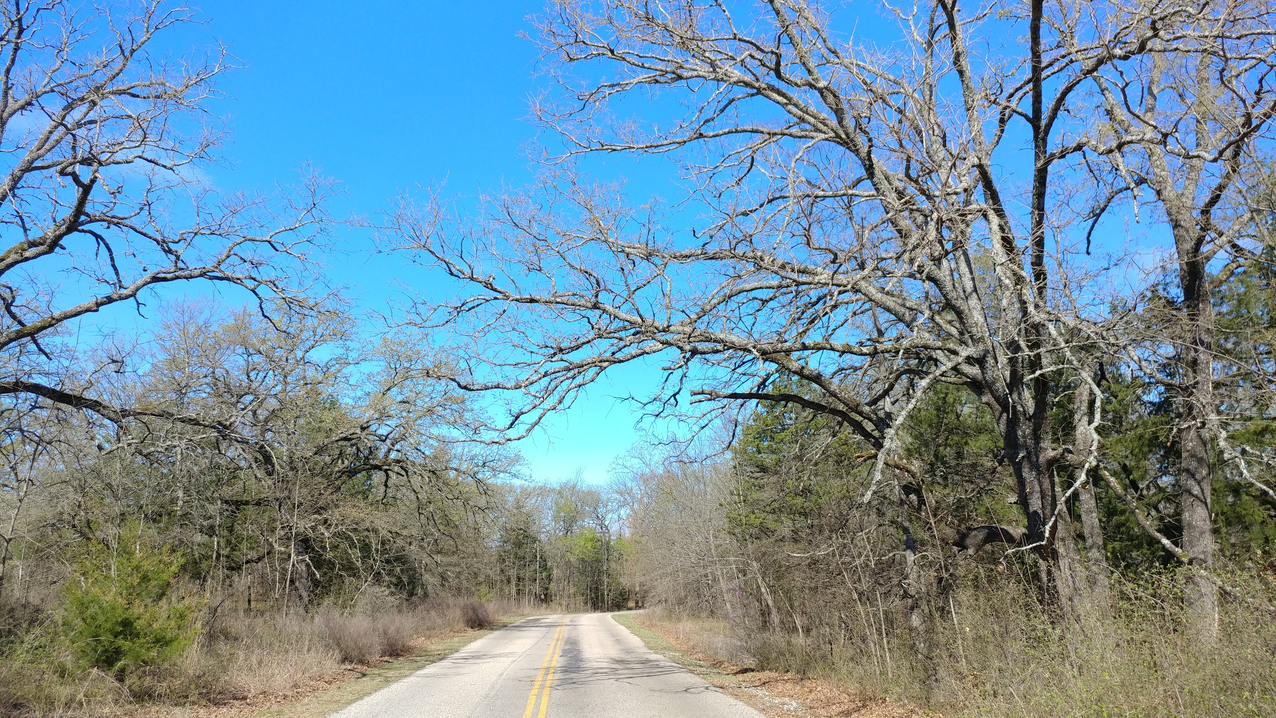
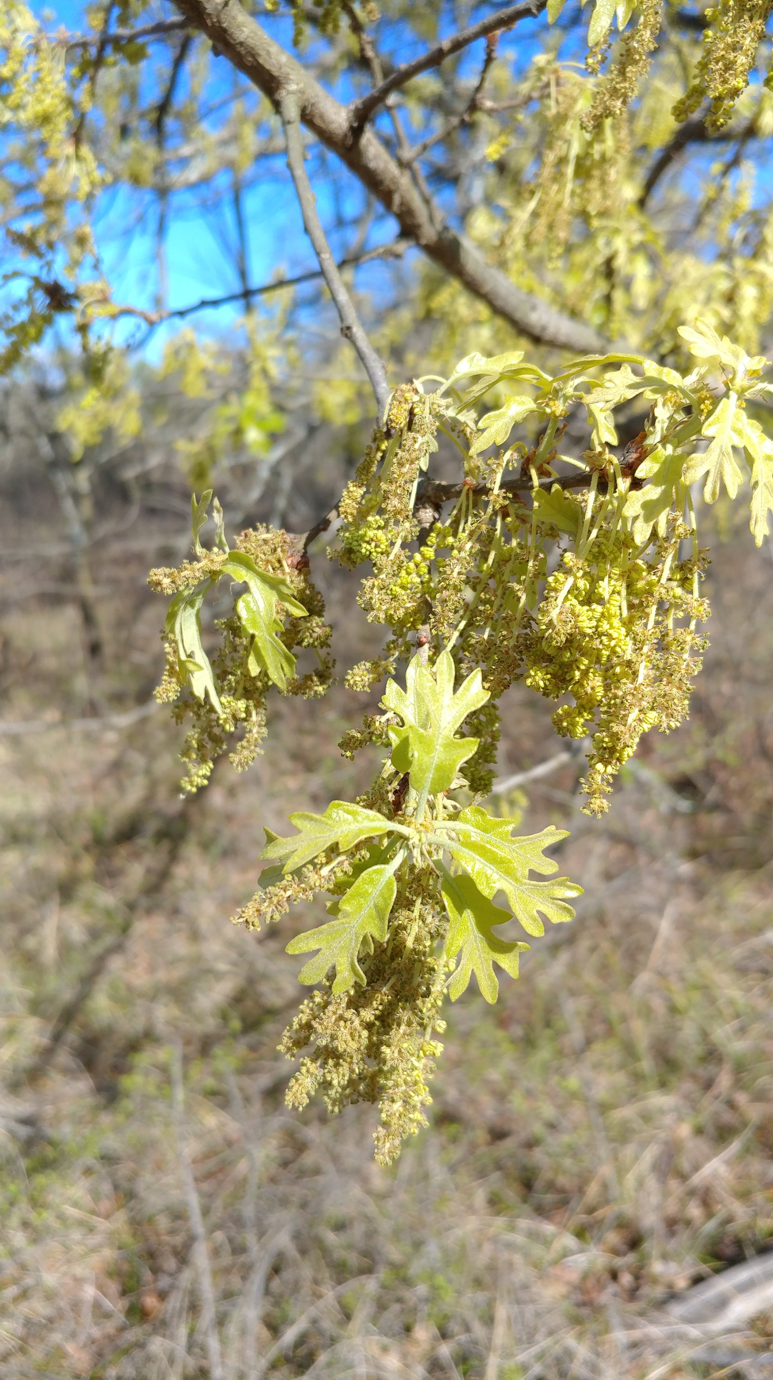
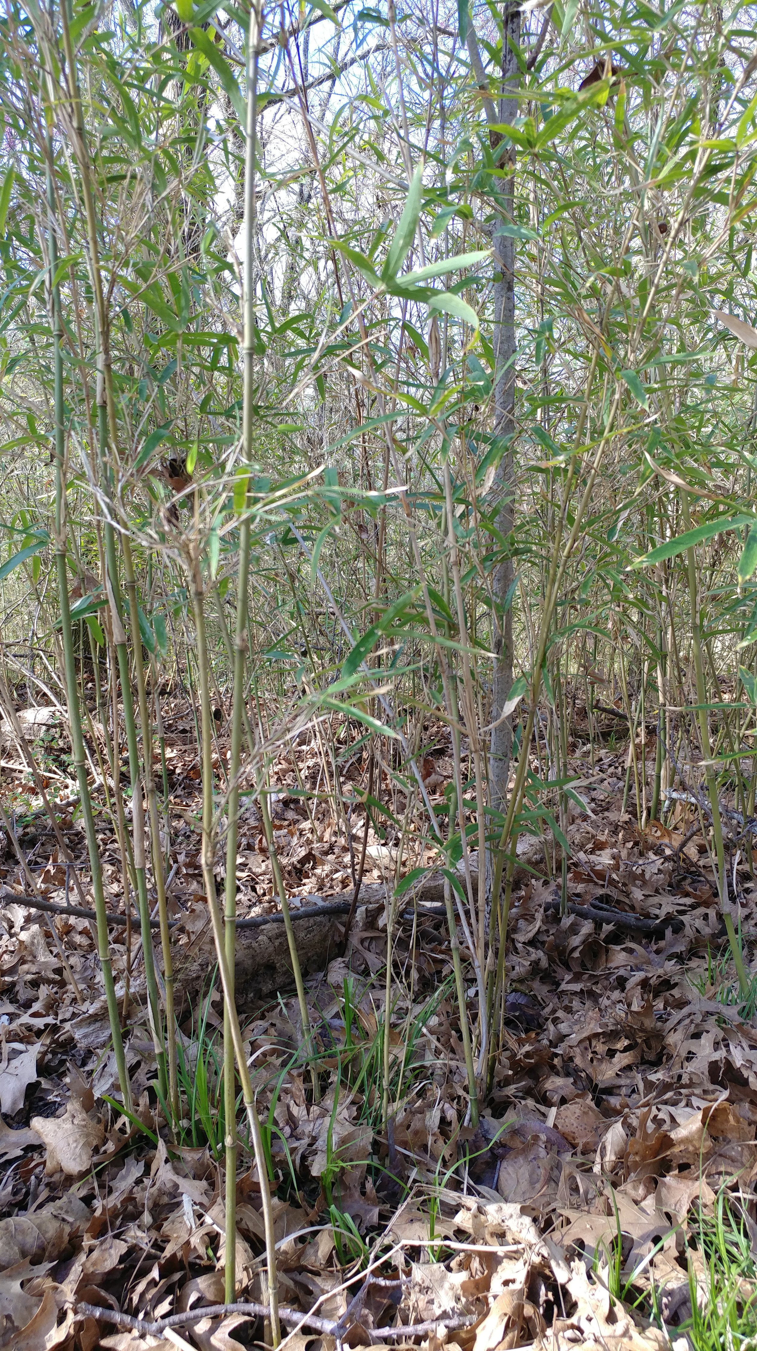
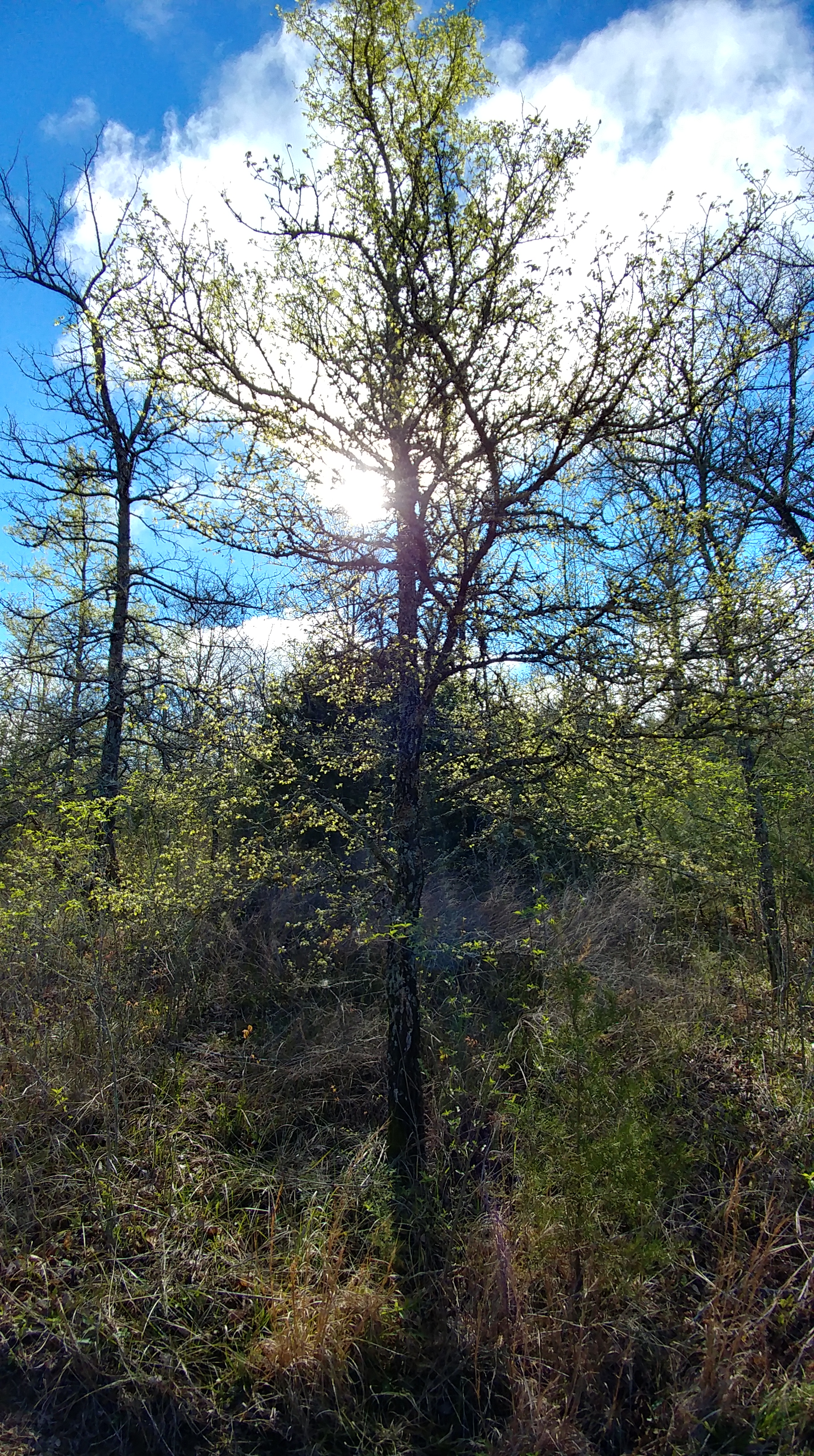
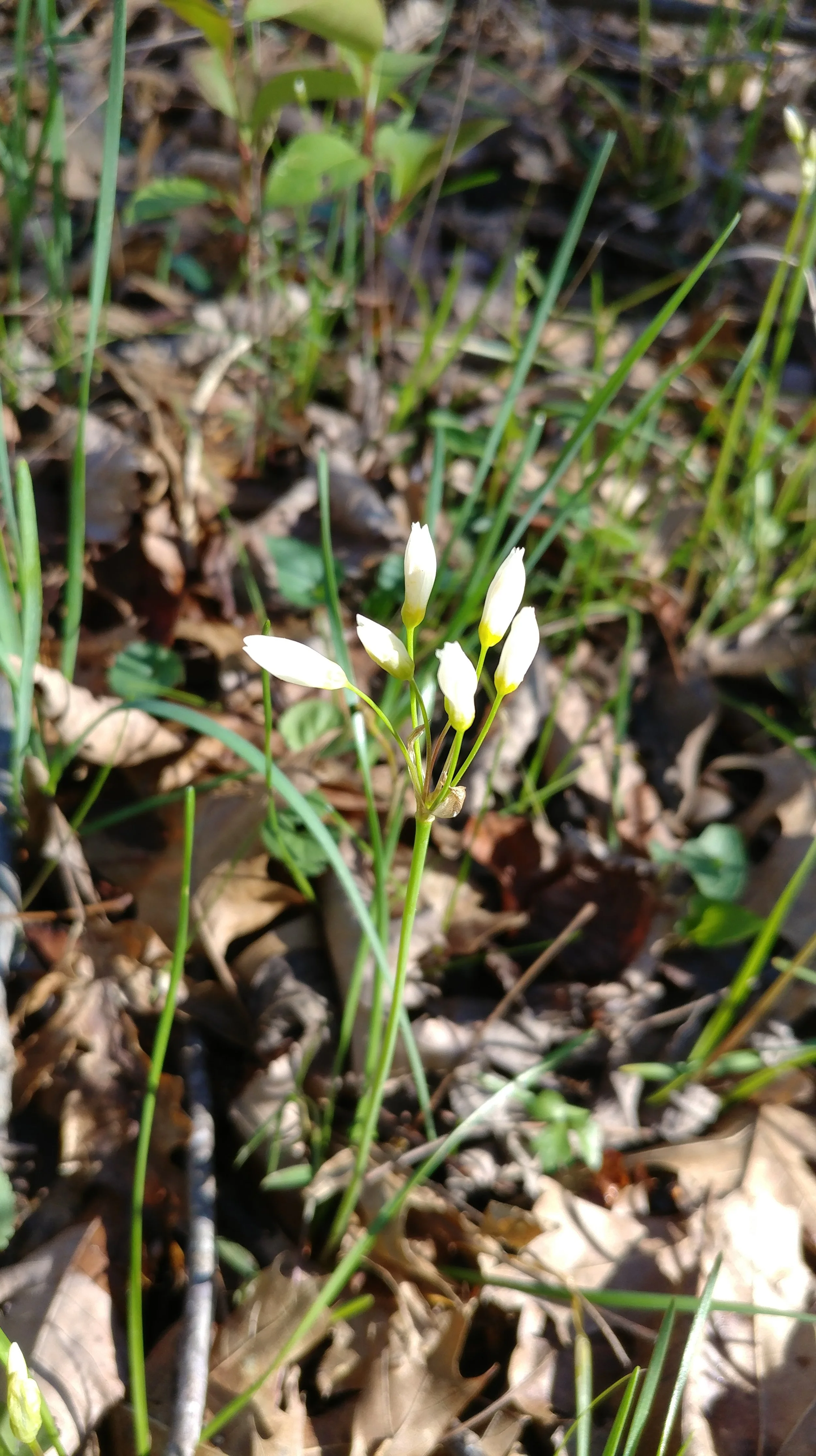
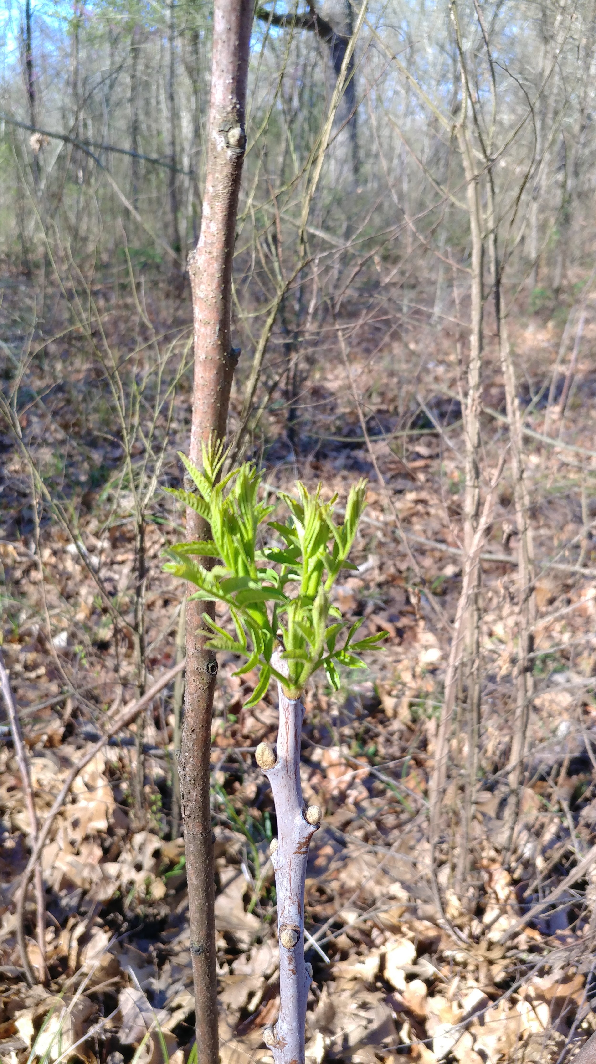
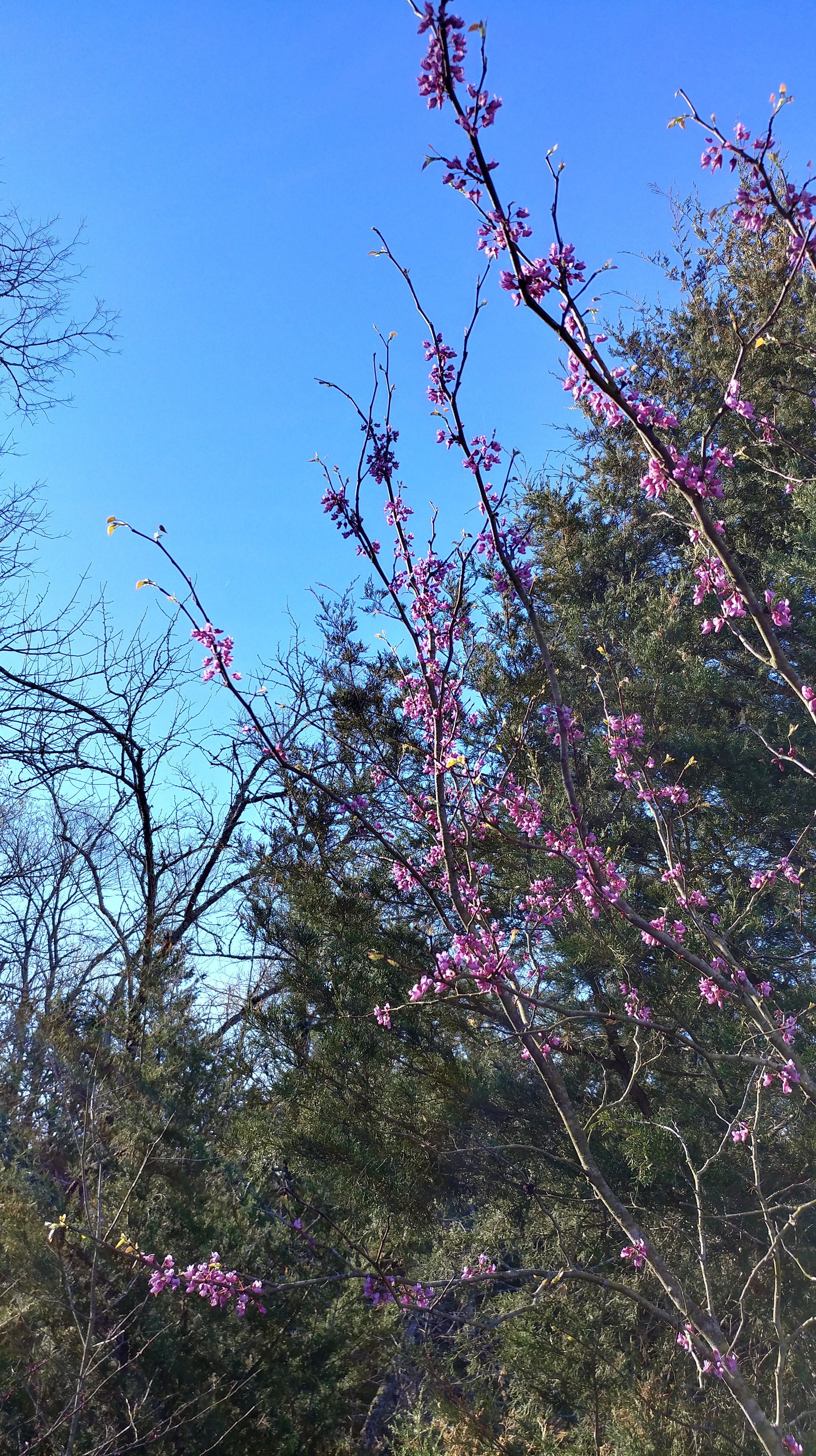
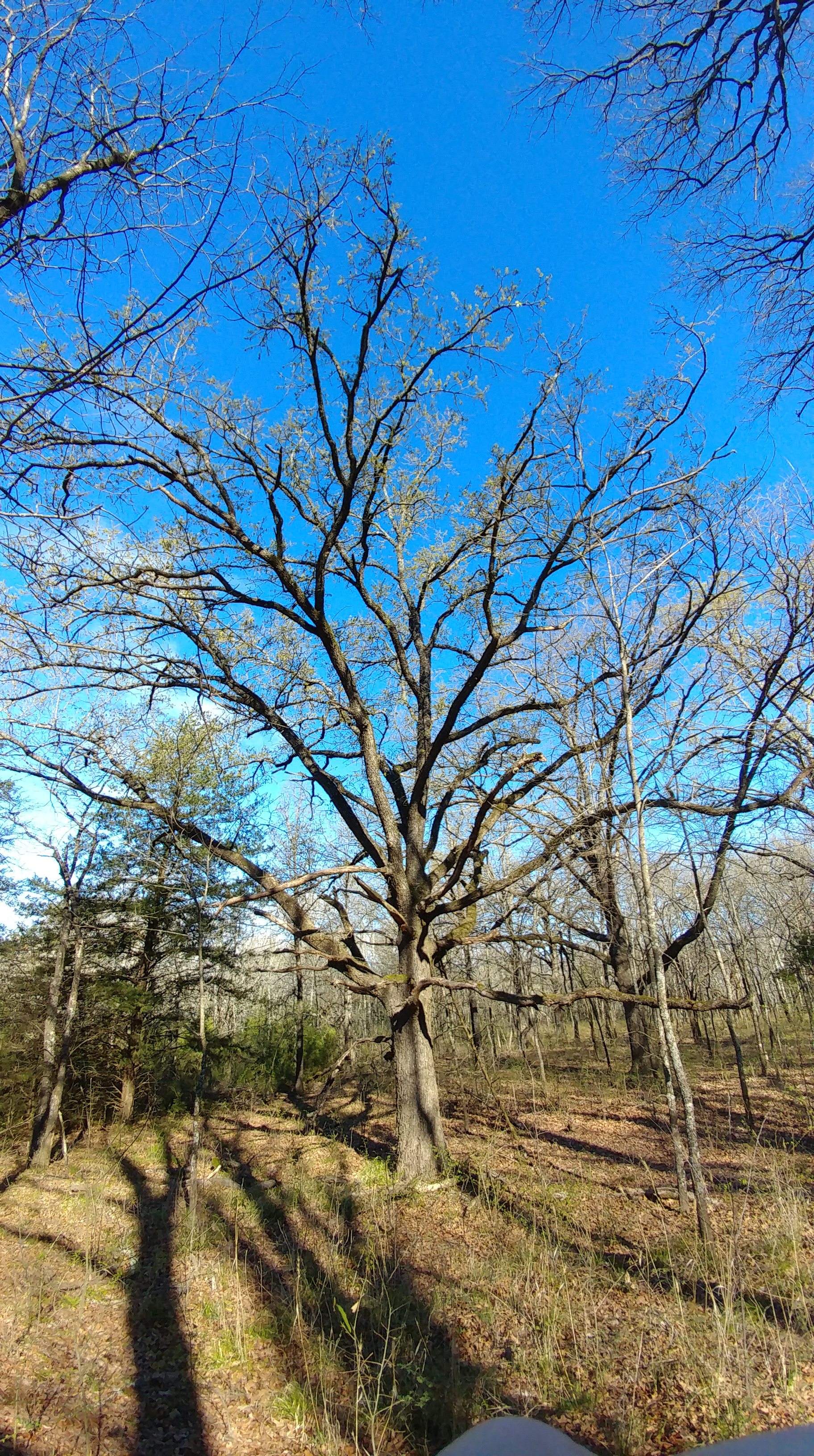
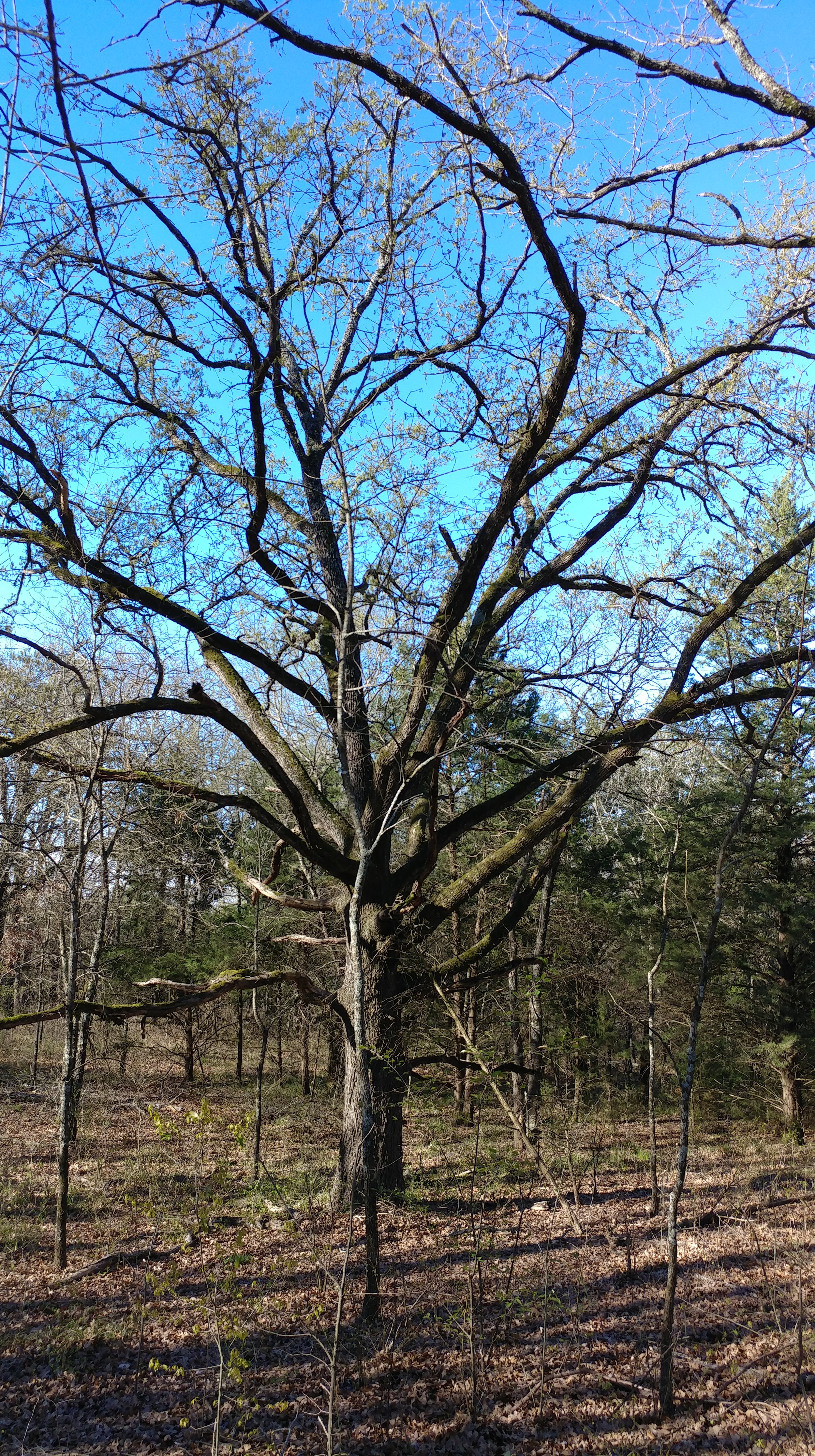
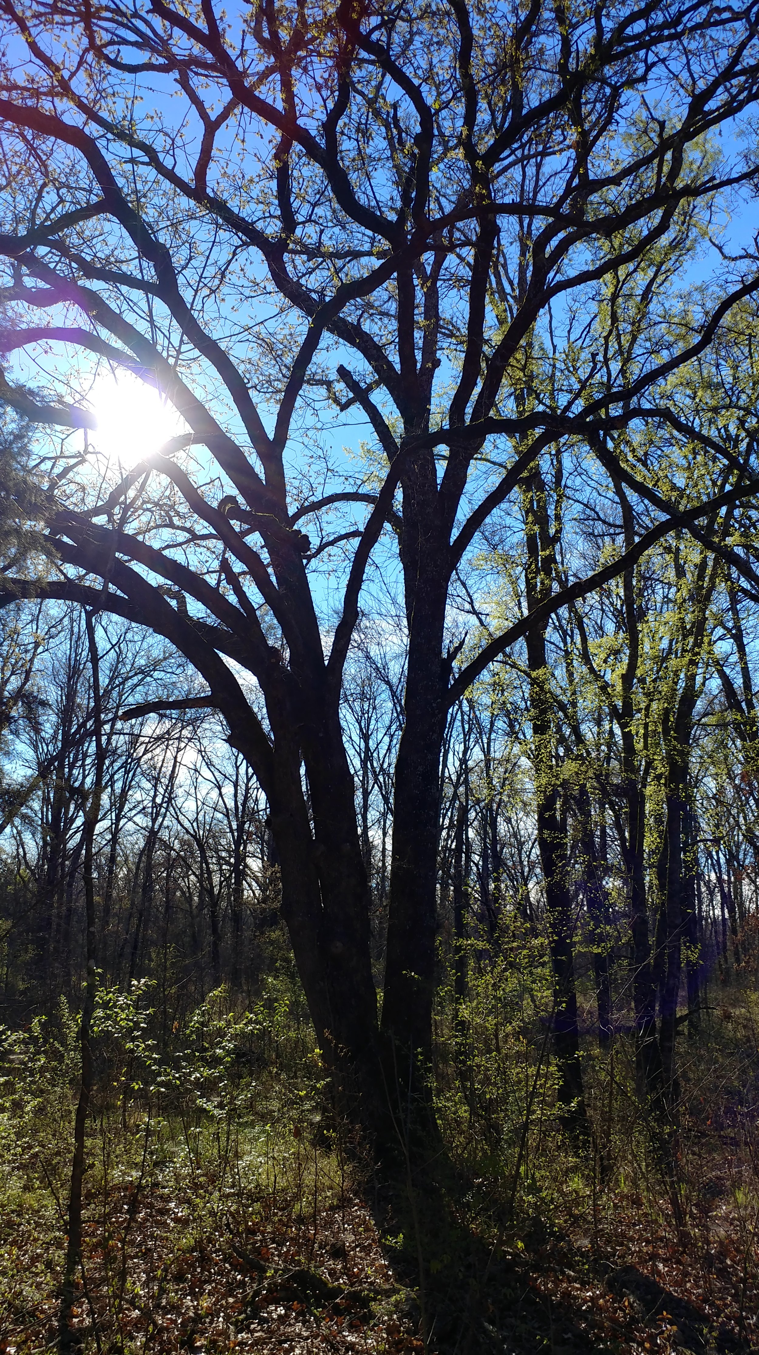
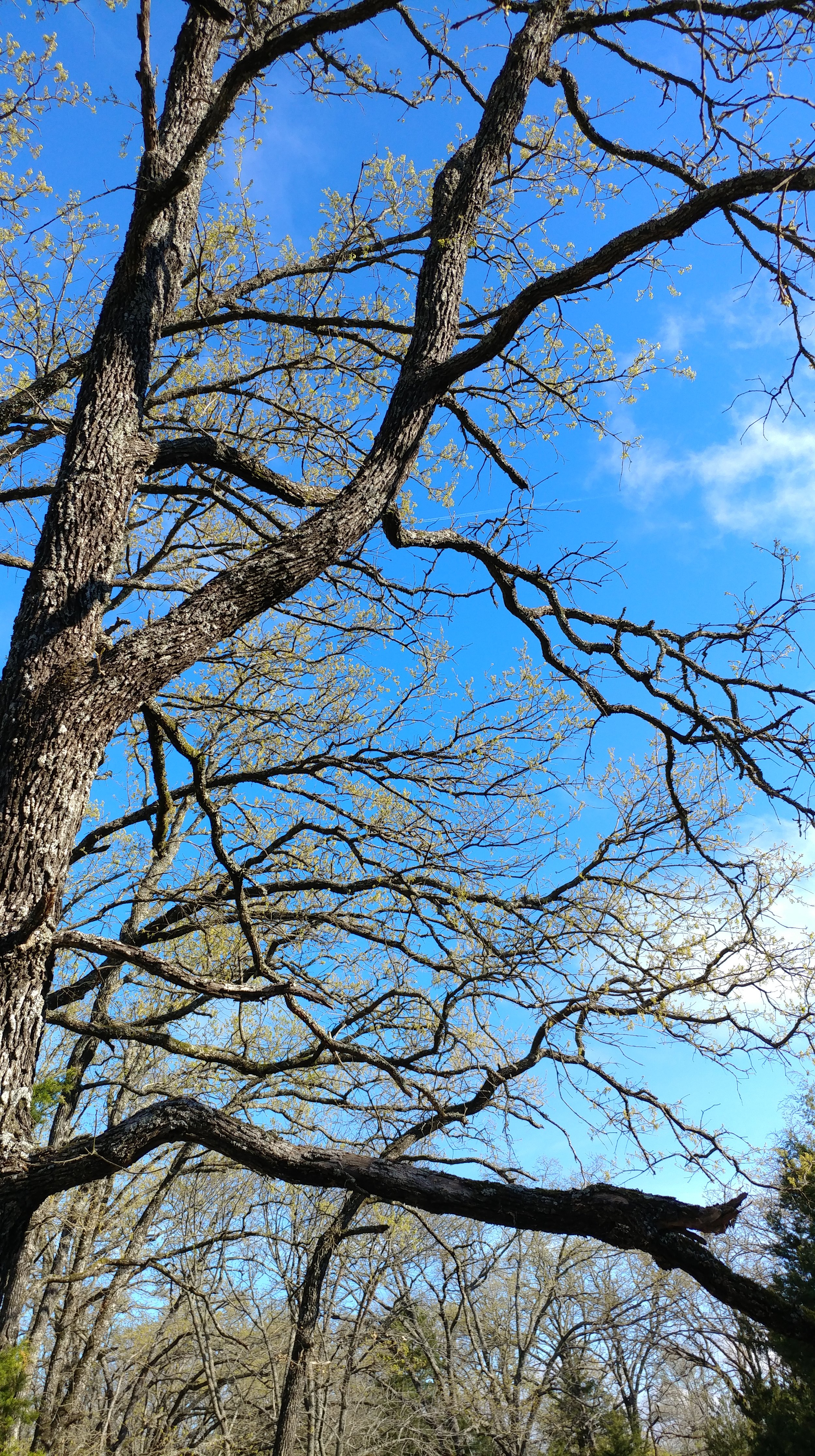
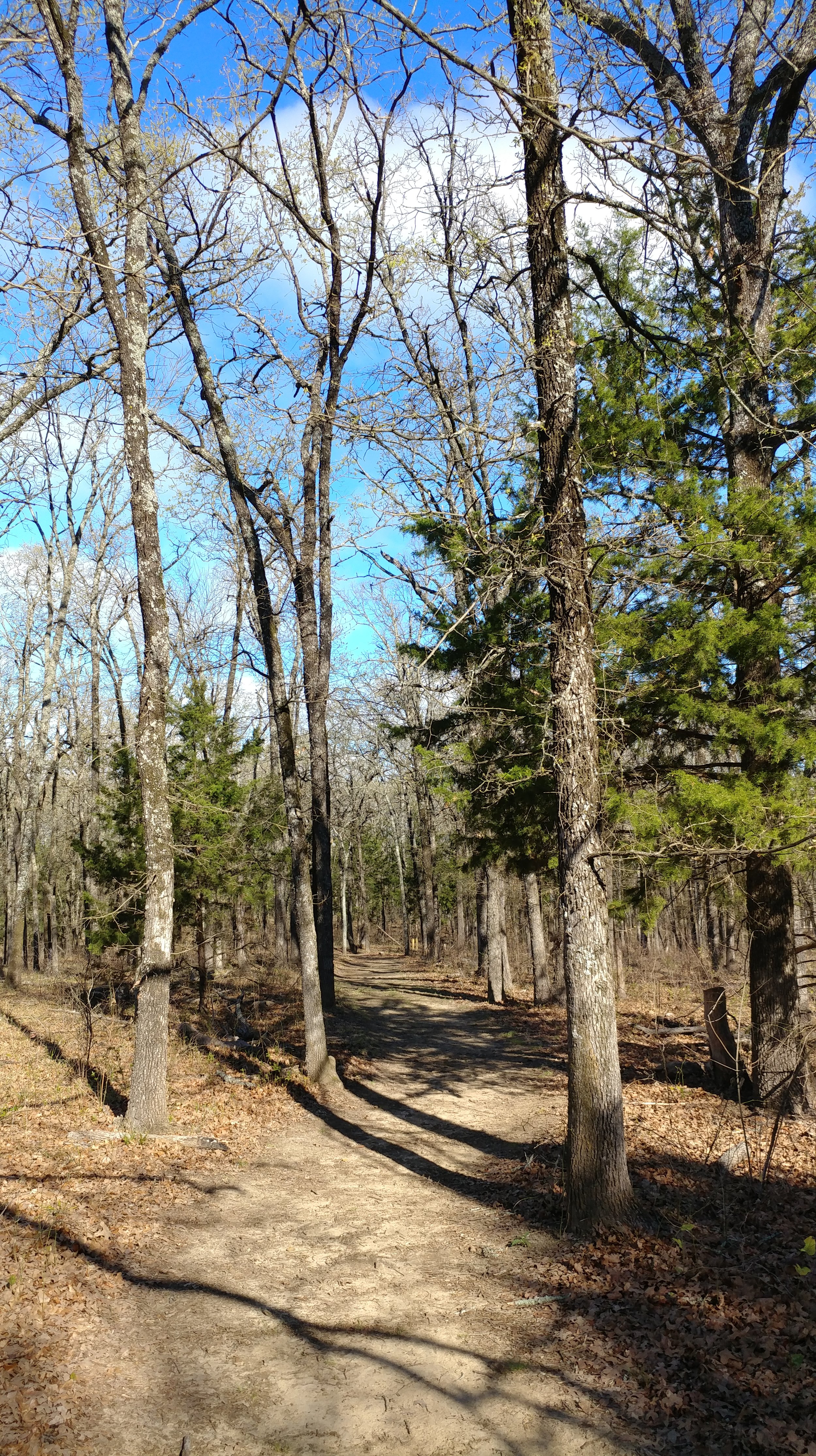
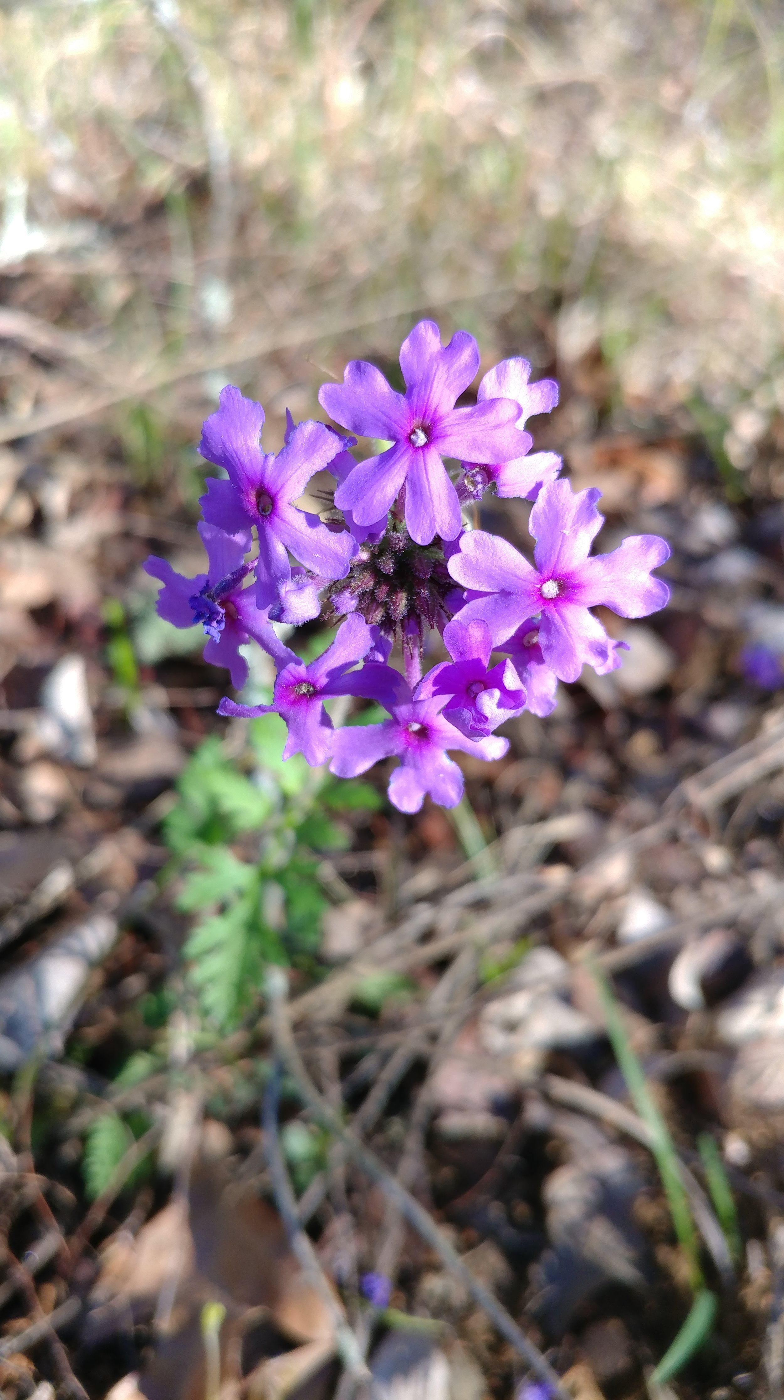
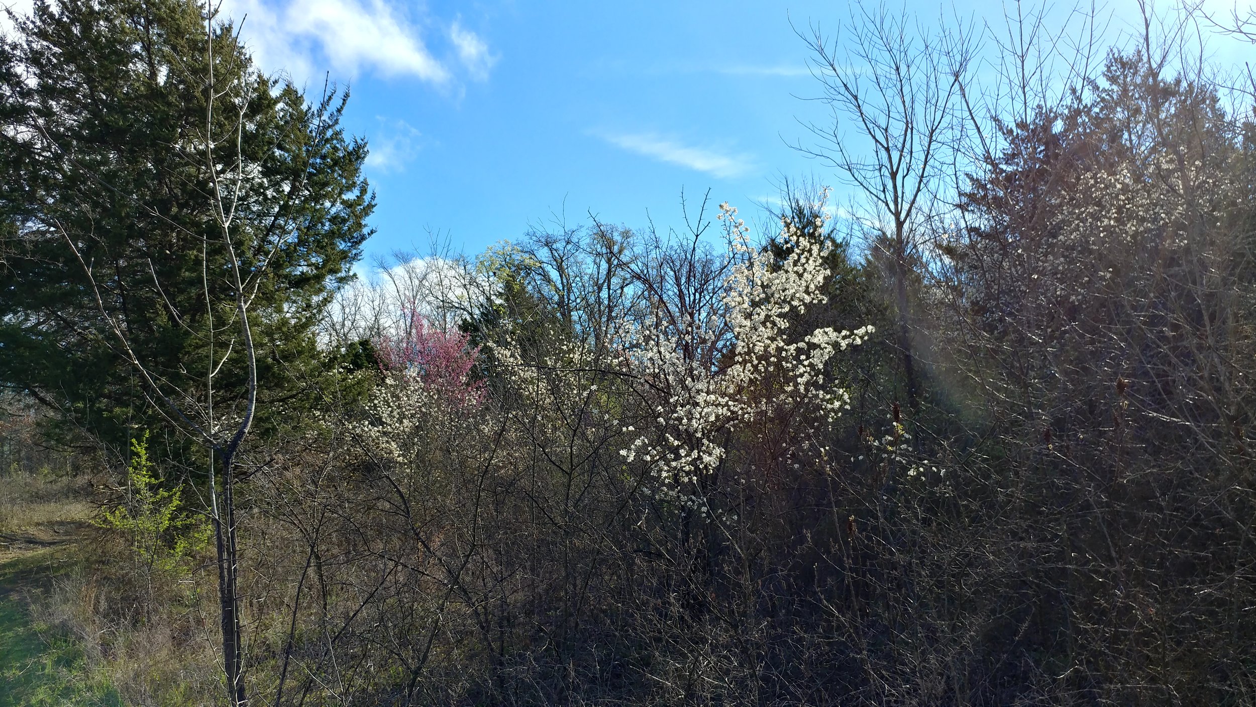
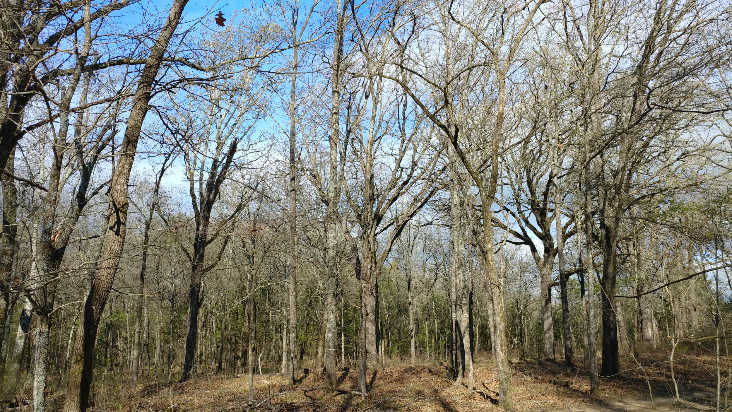
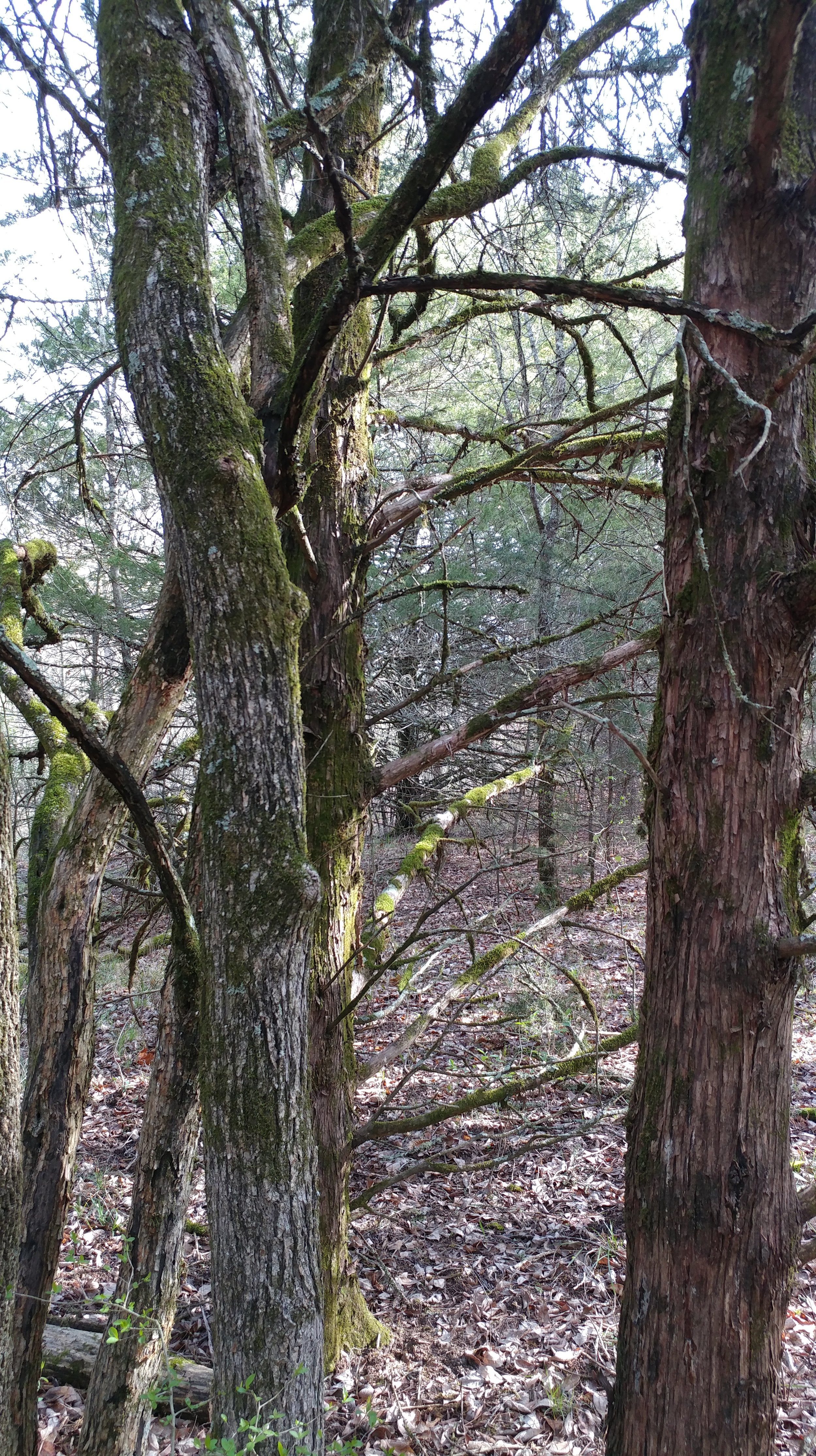
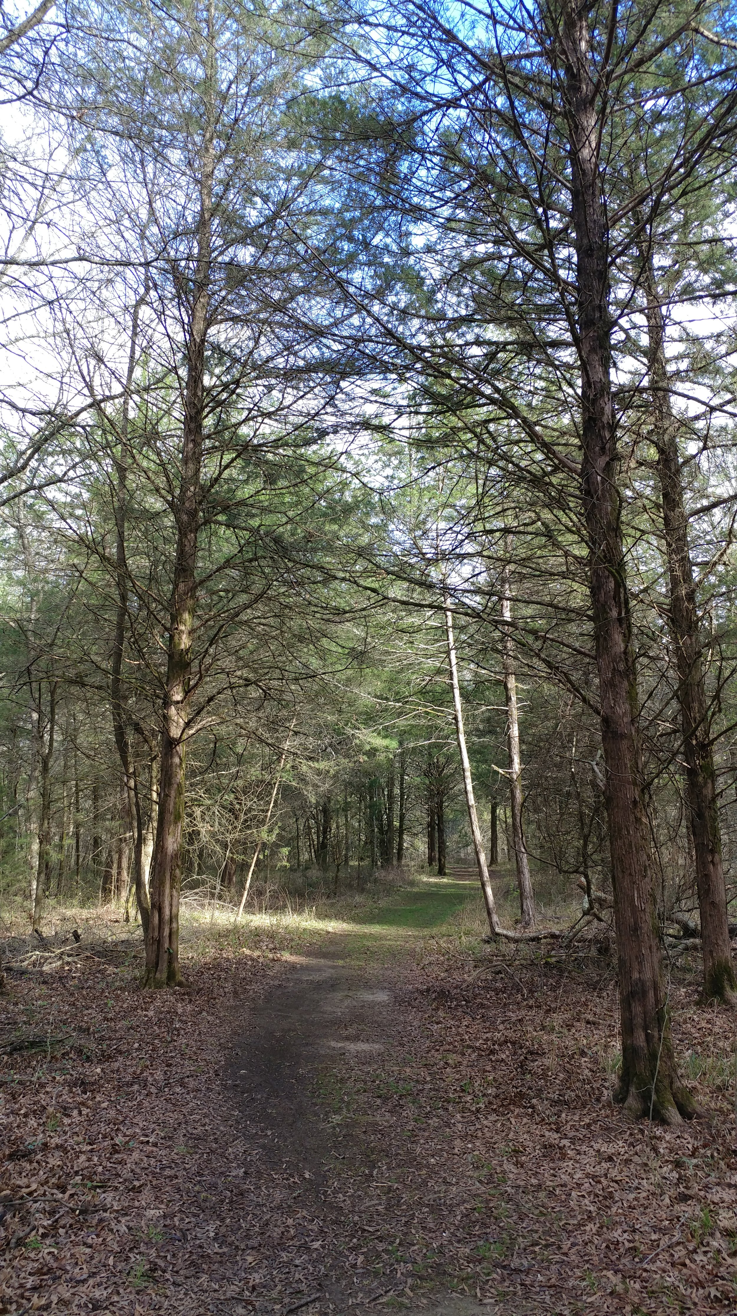
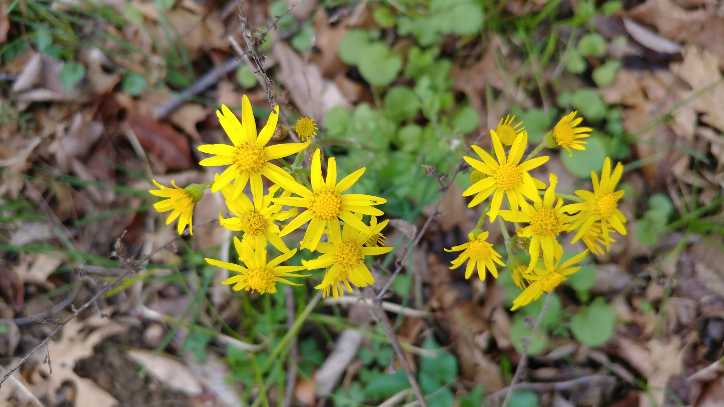
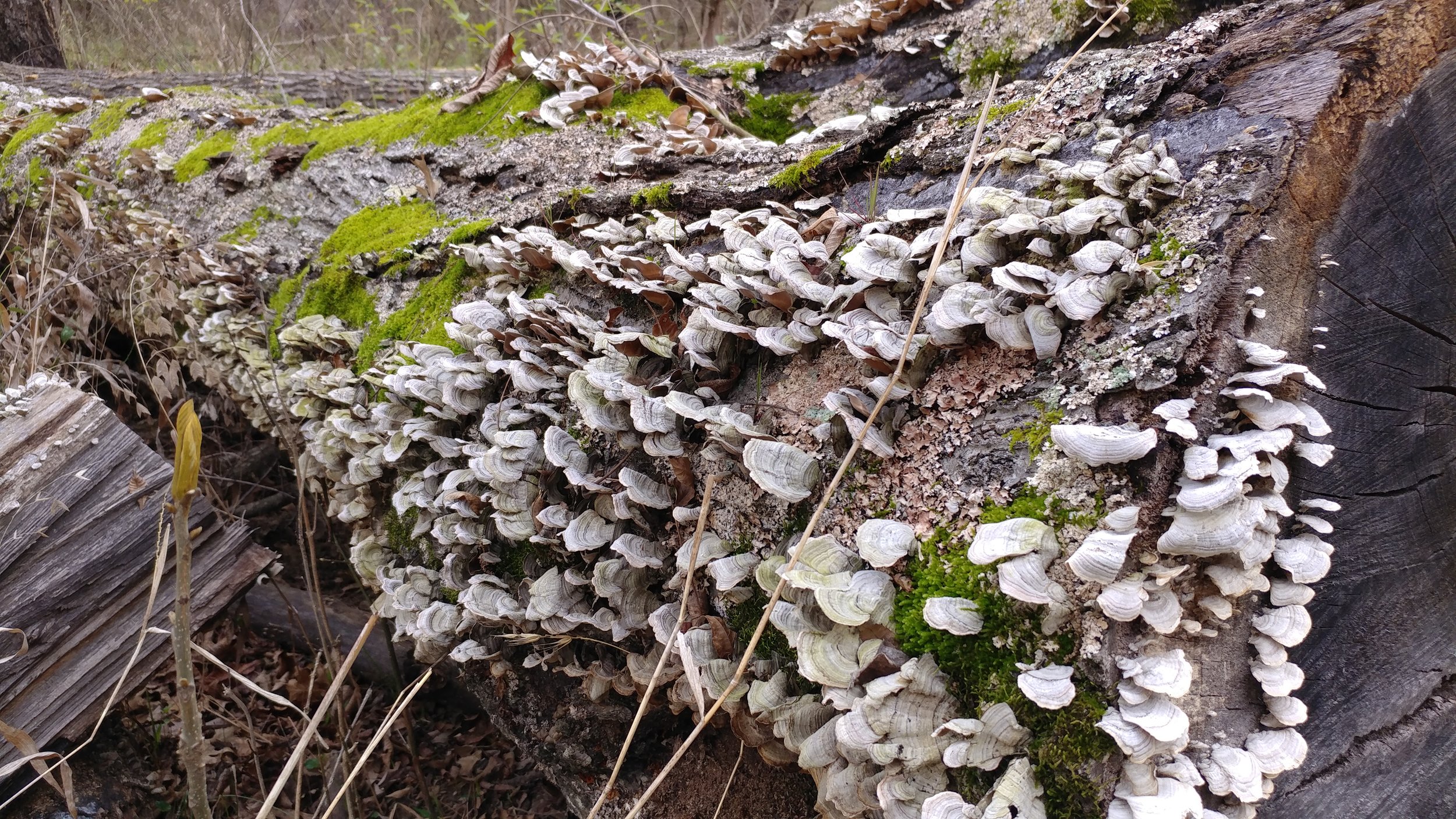
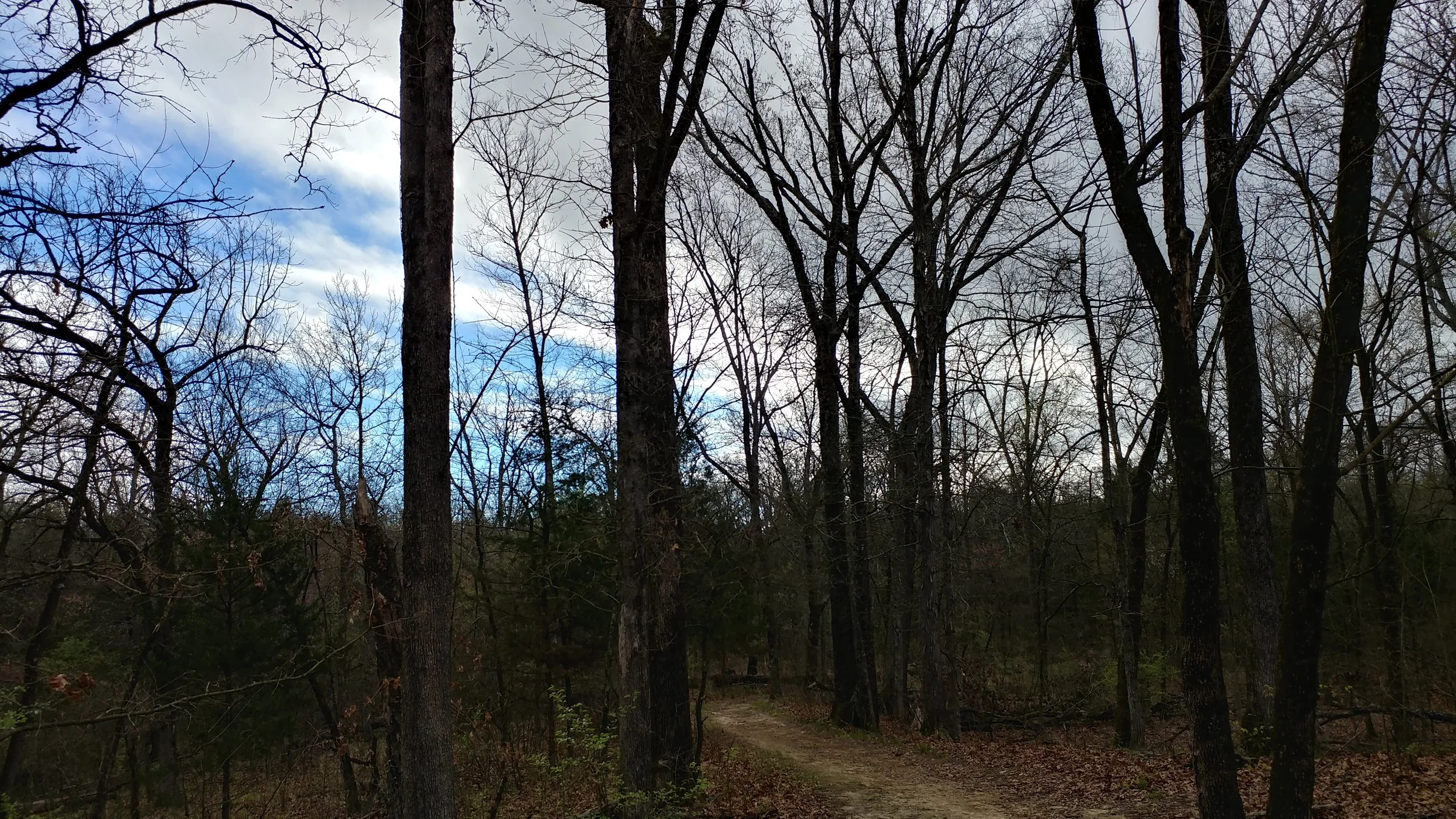
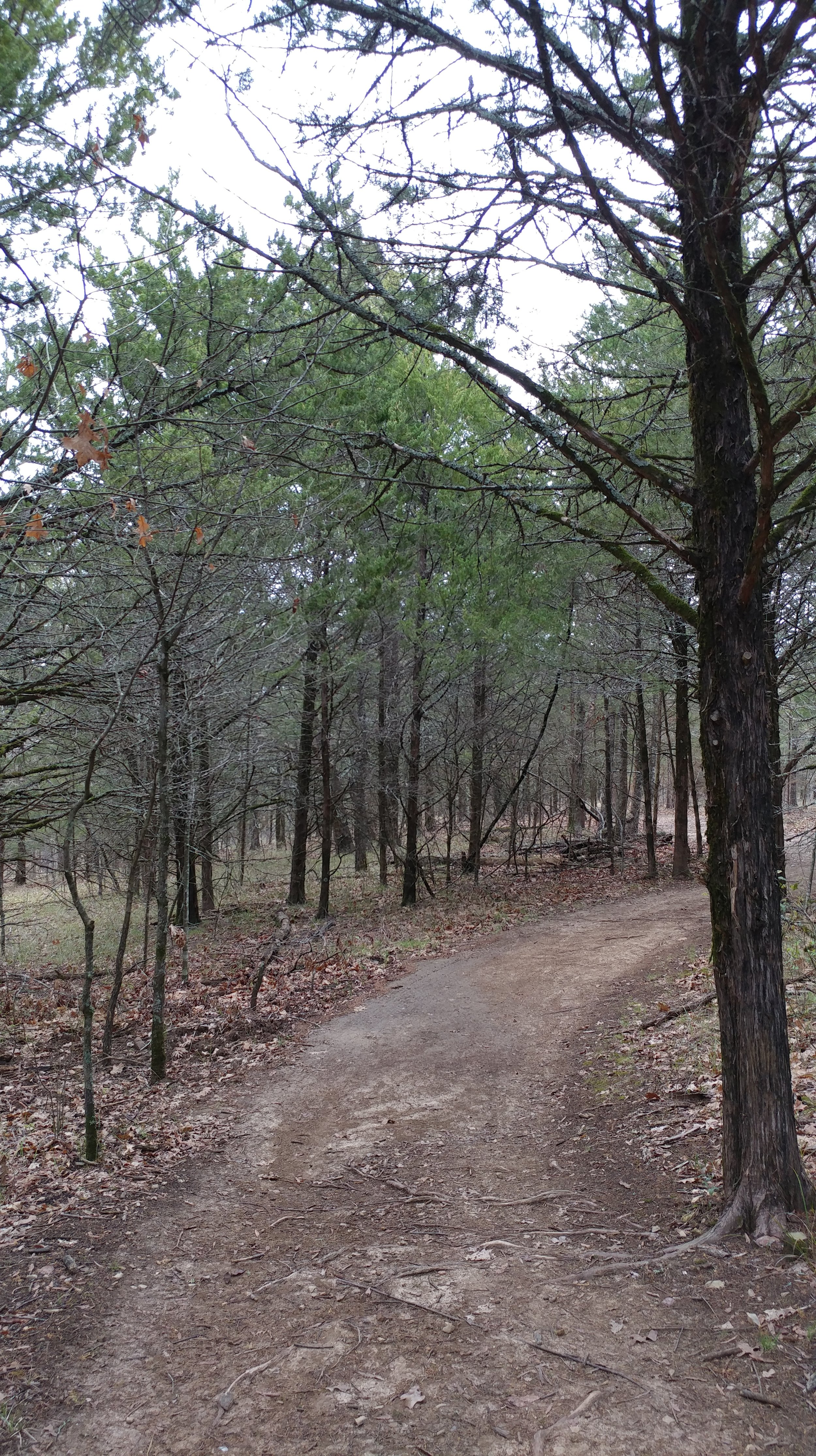
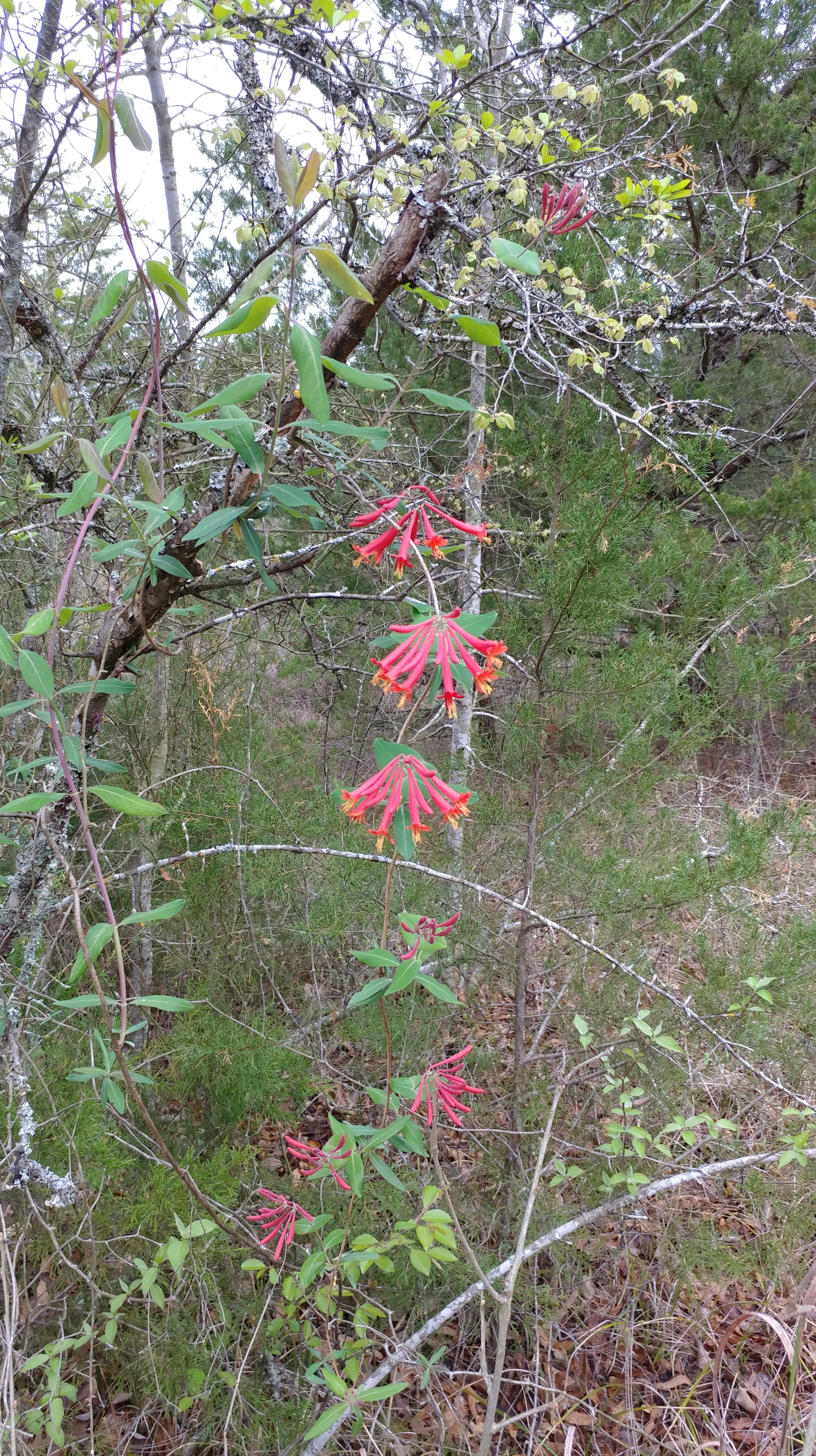
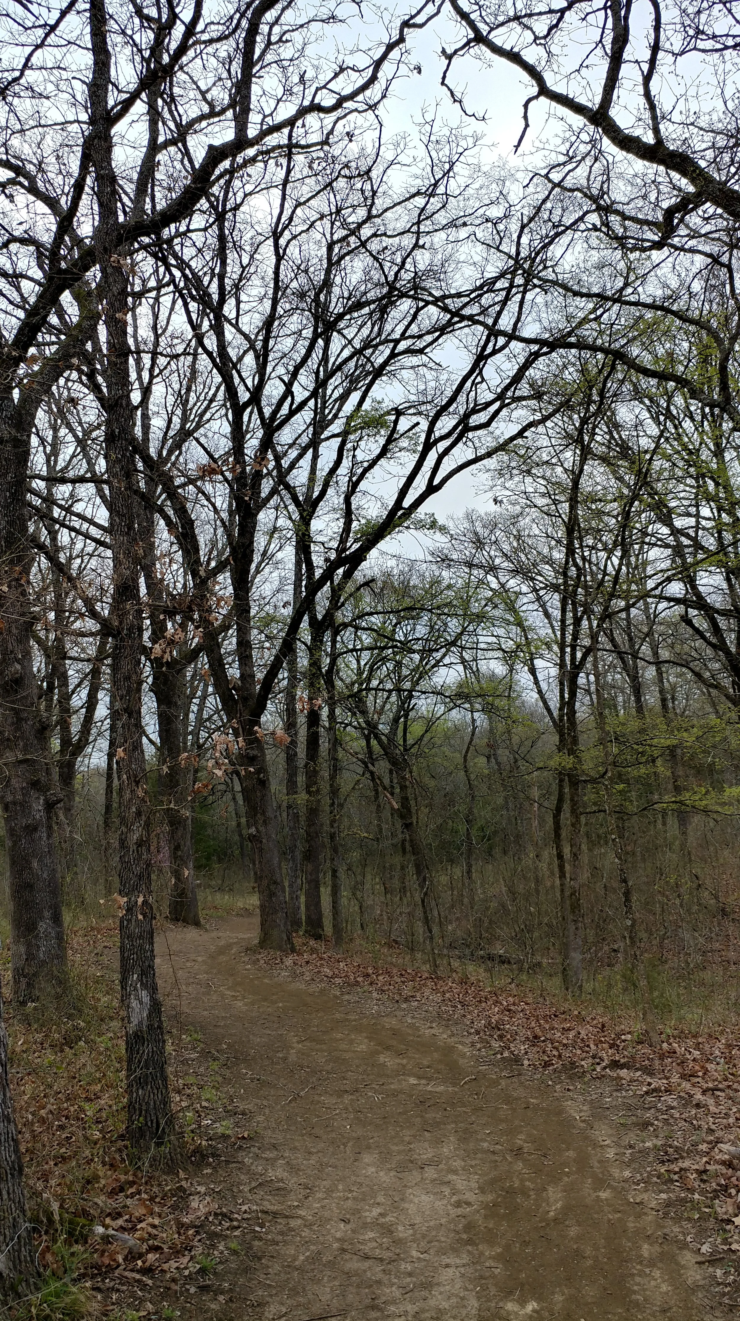
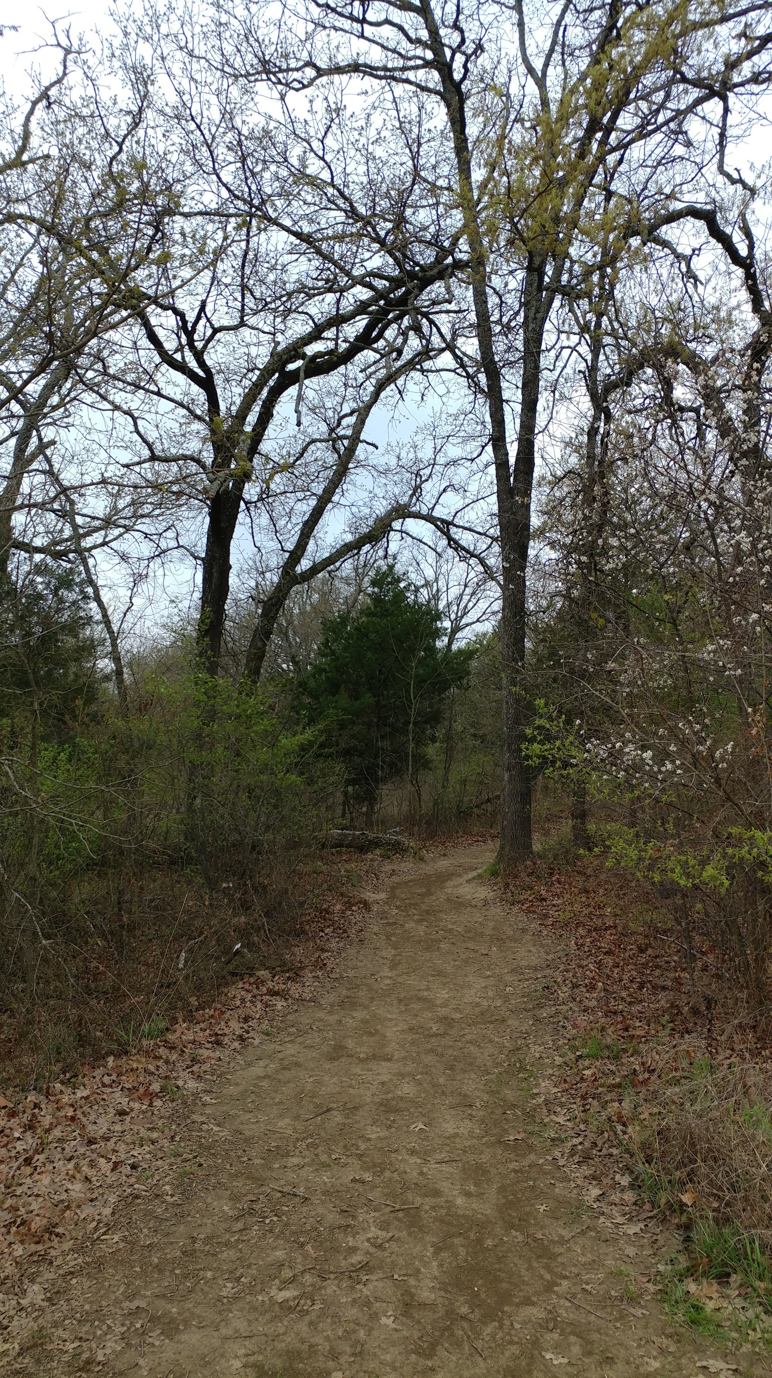
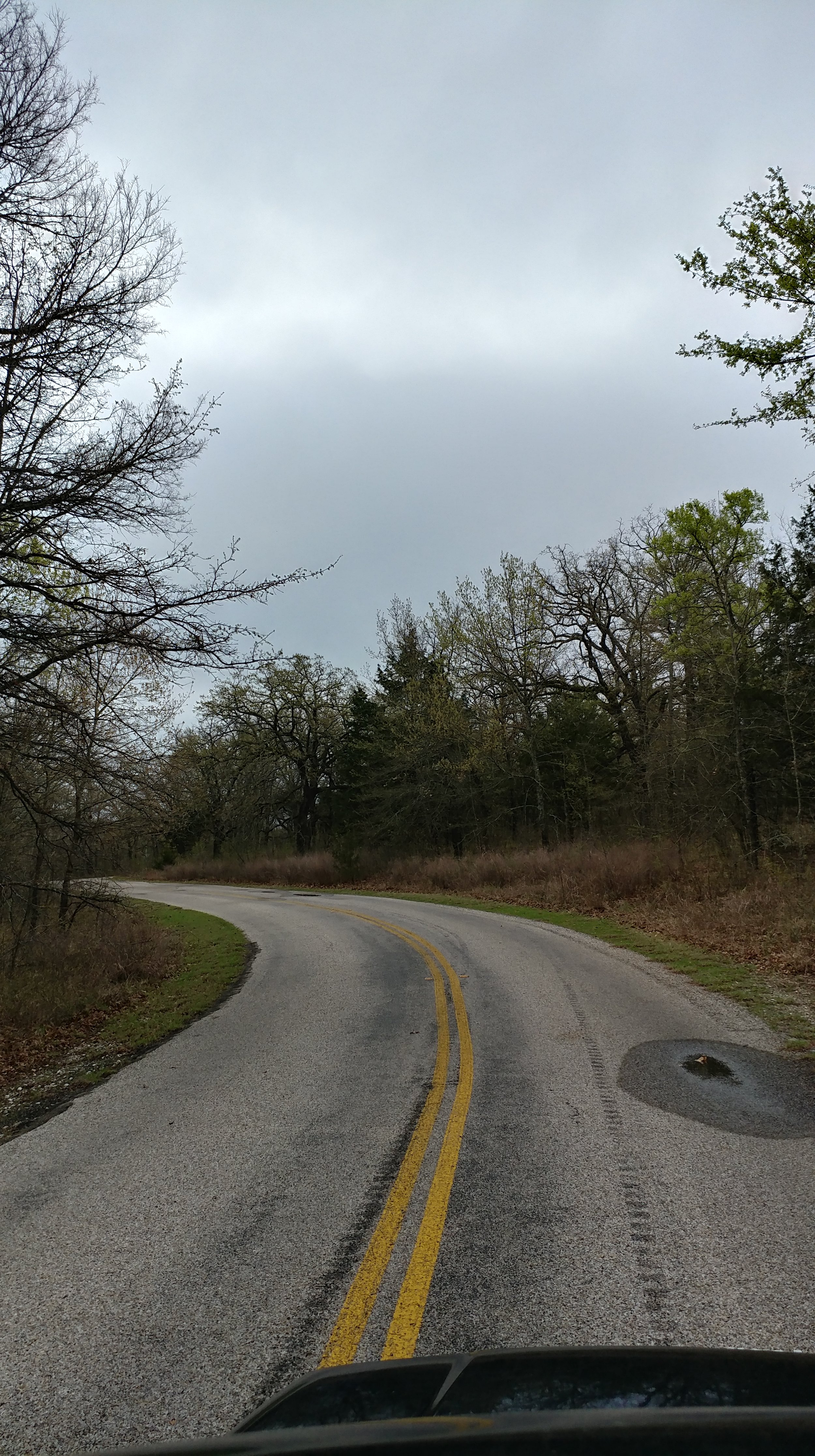
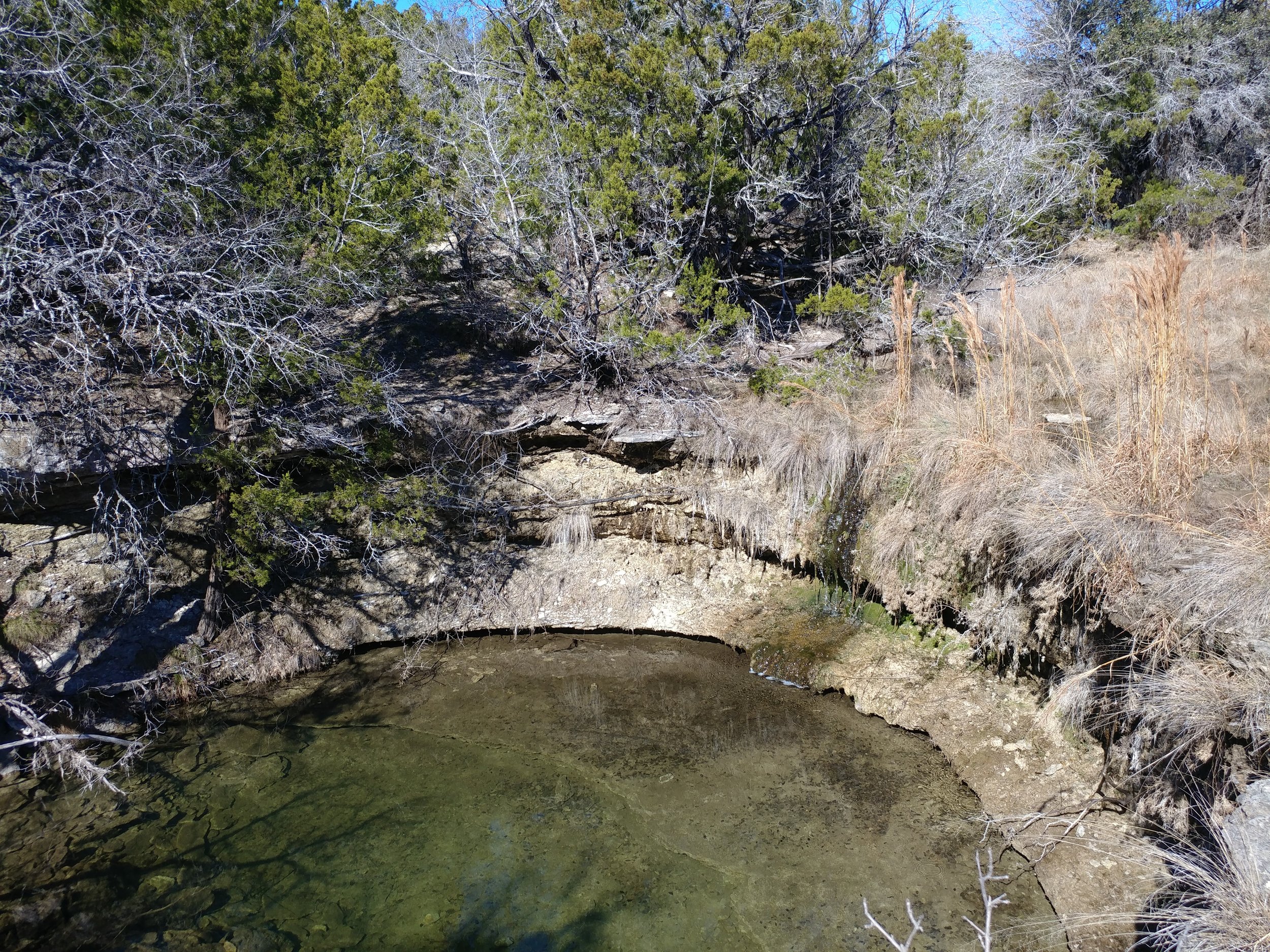
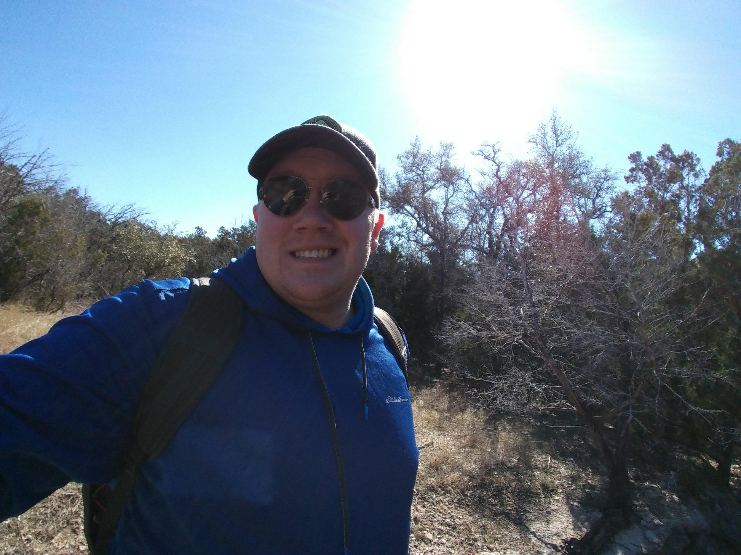
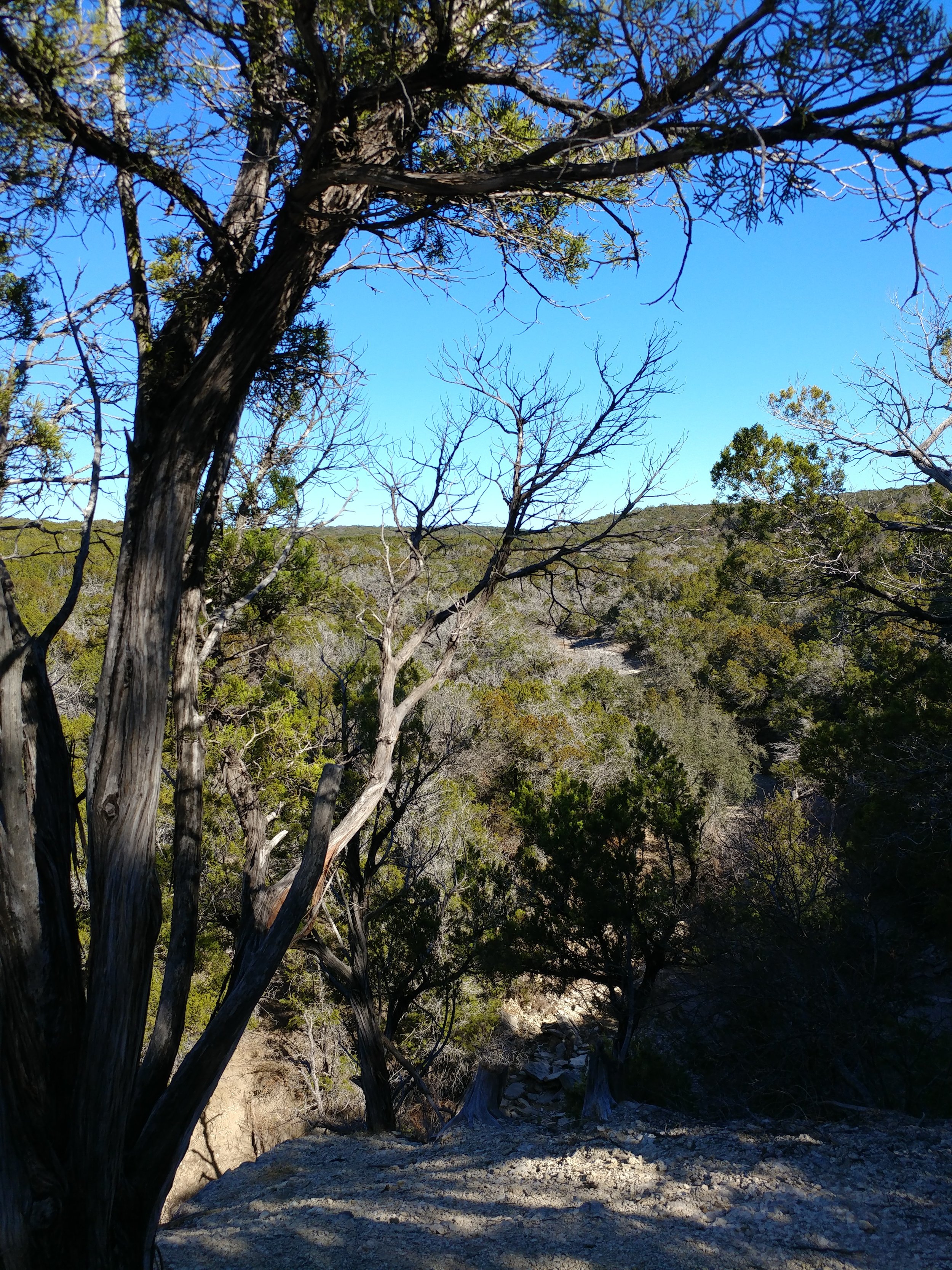
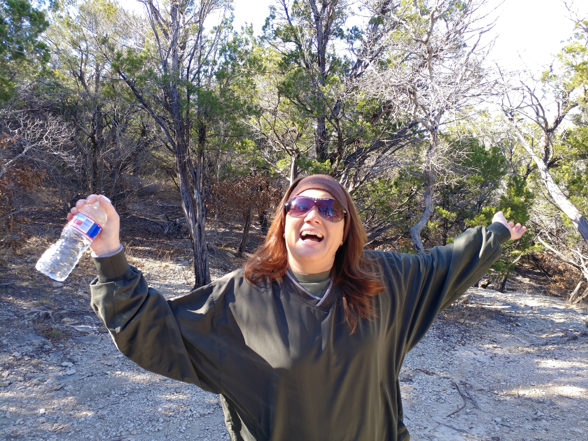
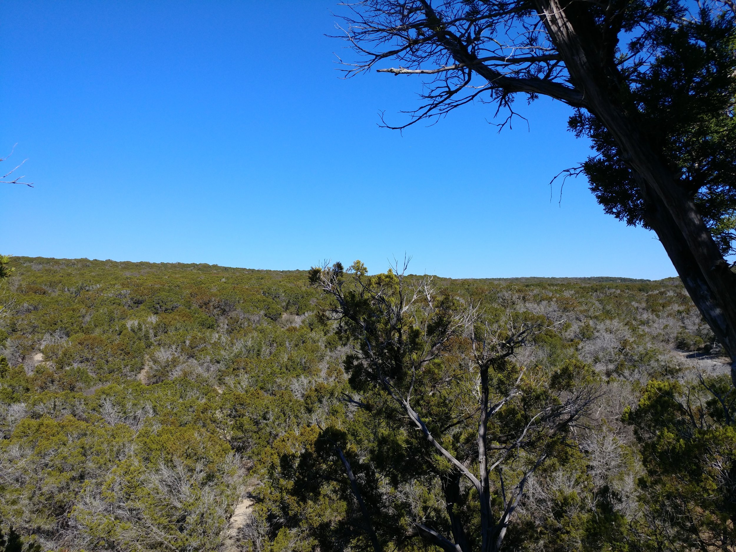
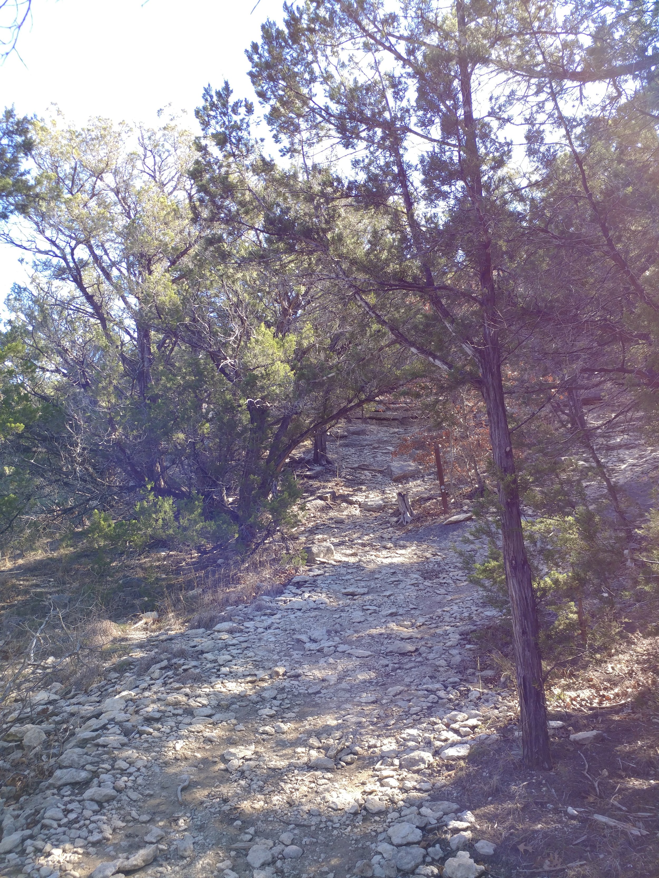
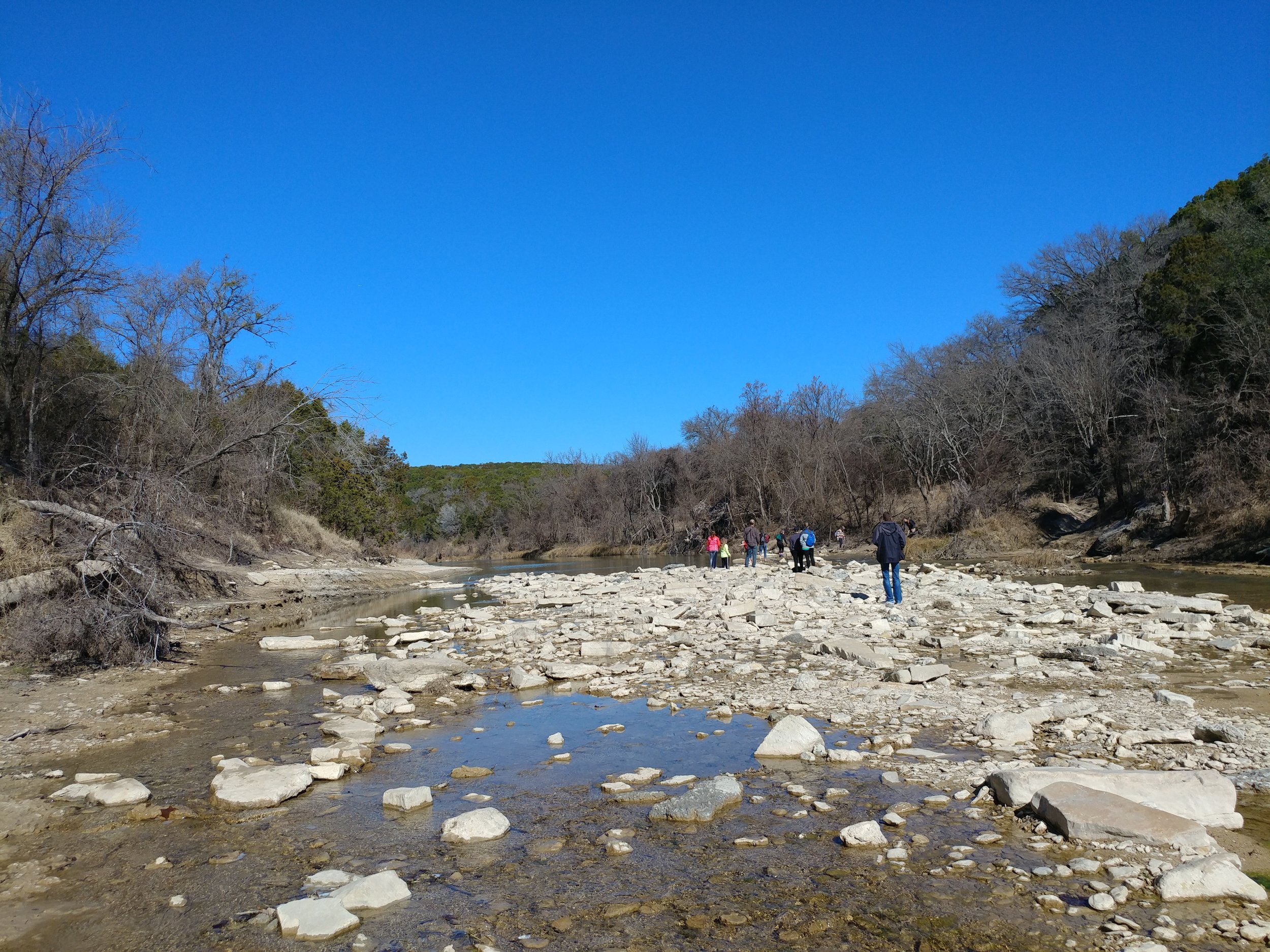
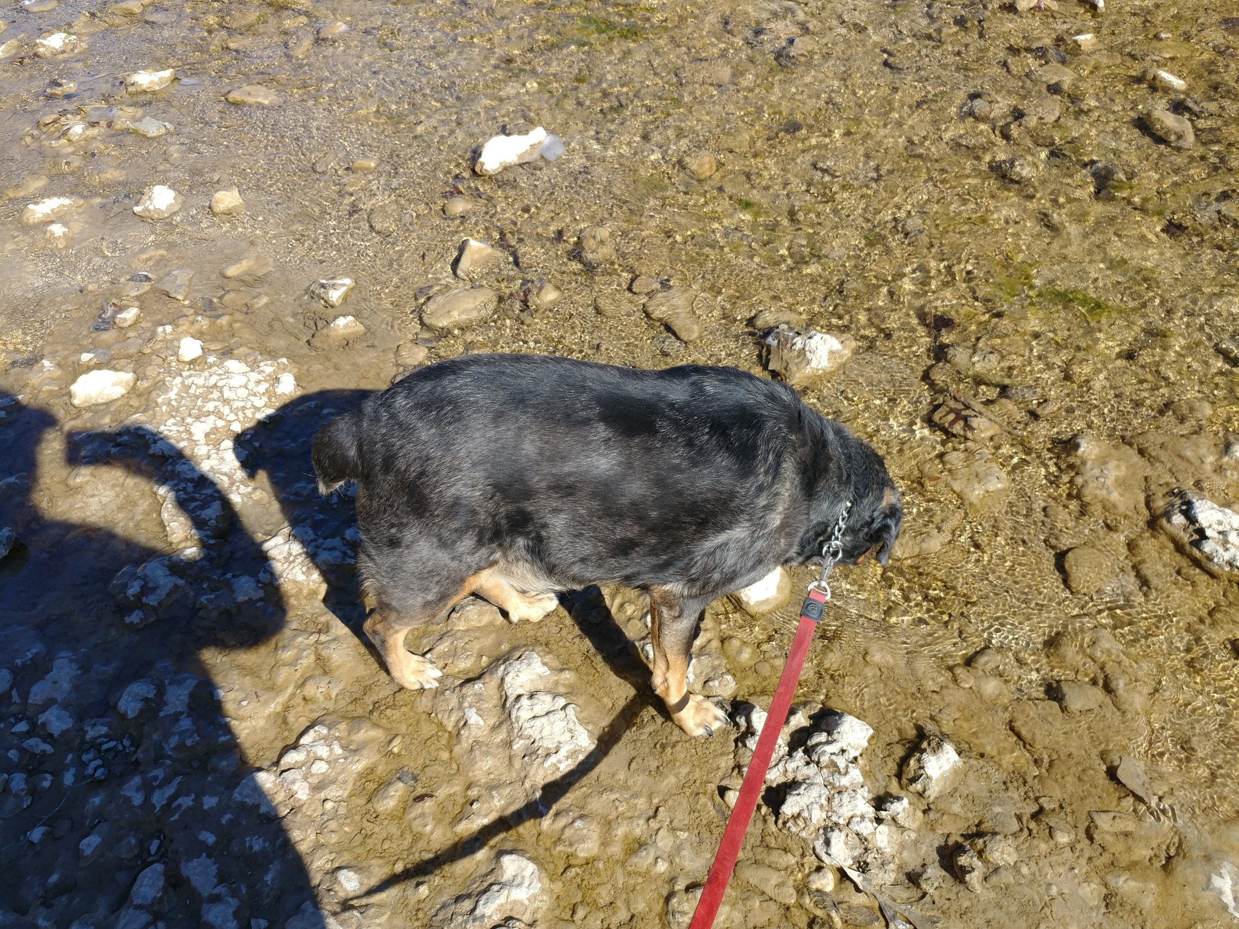
Today, in one word, was FANTASTIC. I set out to do two hikes today, but it didn't happen and I've never been more okay with it. I set out at the FWNC&R not knowing what to expect, and what I got was fantastic. Yesterday was a day of rain, into the night, and today was the recovery. The air was a bit heavy, in a good way, and the temps were below 50. The smells of this trail were loamy, earthy, and quintessential fall/winter. I was transported today, to somewhere else. Parts of this trail felt like Michigan or Oregon, while others were very much Texas. I was just so pleased. I encountered only 4 people on my out, and 9 on my way back. Today was cool, full of good smells, and scenic.
#hike46 - Clear Creek Natural Heritage Center
Location: Clear Creek Natural Heritage Center Date: 11/26/2017
Distance: 3.0 miles
Decided to head up to the Clear Creek trail today north of Dallas-Fort Worth for a change of pace and it was well worth it. The trail wasn't too busy and it was the perfect day to be outside. The weekend got away from me with various things that came up so today was much needed. I'm a week behind on my hikes, but will be making that up over the next couple of weeks, pending any OTHER random happenings.
Today's adventure took us down the Wetlands trail, the Bois d'Arc Loop, and back via the High Trail. Here are some photos. Happy Hiking.
#hike44 - Eagle Mountain Park
Location: Eagle Mountain Park on Eagle Mountain Lake (NW Fort Worth, TX) Date: 11/5/2017
Distance: 5 miles
Today was a special hike because the fall colors finally started to show! I grew up in Michigan, with fall being that magical time of year when the leaves changed and the weather got cooler. Things are a little different here in North Texas, as the temps are still high but the leaves have started to turn. Beautiful oranges, golds, yellows, purples, and reds mixed with the usual greens. The views from the higher elevations were beautiful and the entire hike was filled with that autumn peacefulness. The blue grass has turned a majestic purple-red, almost unreal, and the oaks vary from orange to red. Everything had a touch of morning glow, so that helped too.
We did the main loop, and followed the shoreline and caught a nice breeze from the lake. Along the way we saw an armadillo, several deer, squirrels, a field mouse, and a murder of crows. I love sharing this place with others and today I went with my friend Nikki, who's gone before, and my other half who hasn't. We had a nice big lunch after and it was just a great way to start this week ahead. Happy hiking everyone!
#hike42 - Cedar Ridge Preserve
Location: Cedar Ridge Preserve Date: 10/28/2017
Distance: 2.25 miles
Today Chewy the Dog and I went to Cedar Ridge. I was going to go somewhere dogs weren't allowed, but he gave me the look when I was leaving that I couldn't ignore. We walked to Cattail Pond, a little past and then back up the Escarpment Trail. All in all, an easy and peaceful hike. I felt refreshed and relaxed during and after the hike. It was a brisk 37 degrees this morning, with it getting as low as 30. There were quite a few people there, as usual, probably due to the cooler temps. This is a make up hike for last week, I'll go again either later or tomorrow for this week's. Here are some pics from our stroll. Happy Hiking.
#hike39 - Caprock Canyons State Park
Location: Caprock Canyons State Park Date: 9/30/17
Distance: 9 miles
Trails: Main highlights were Canyon Loop and Upper Canyon (did some walking down random stream beds, along the roadway, etc)
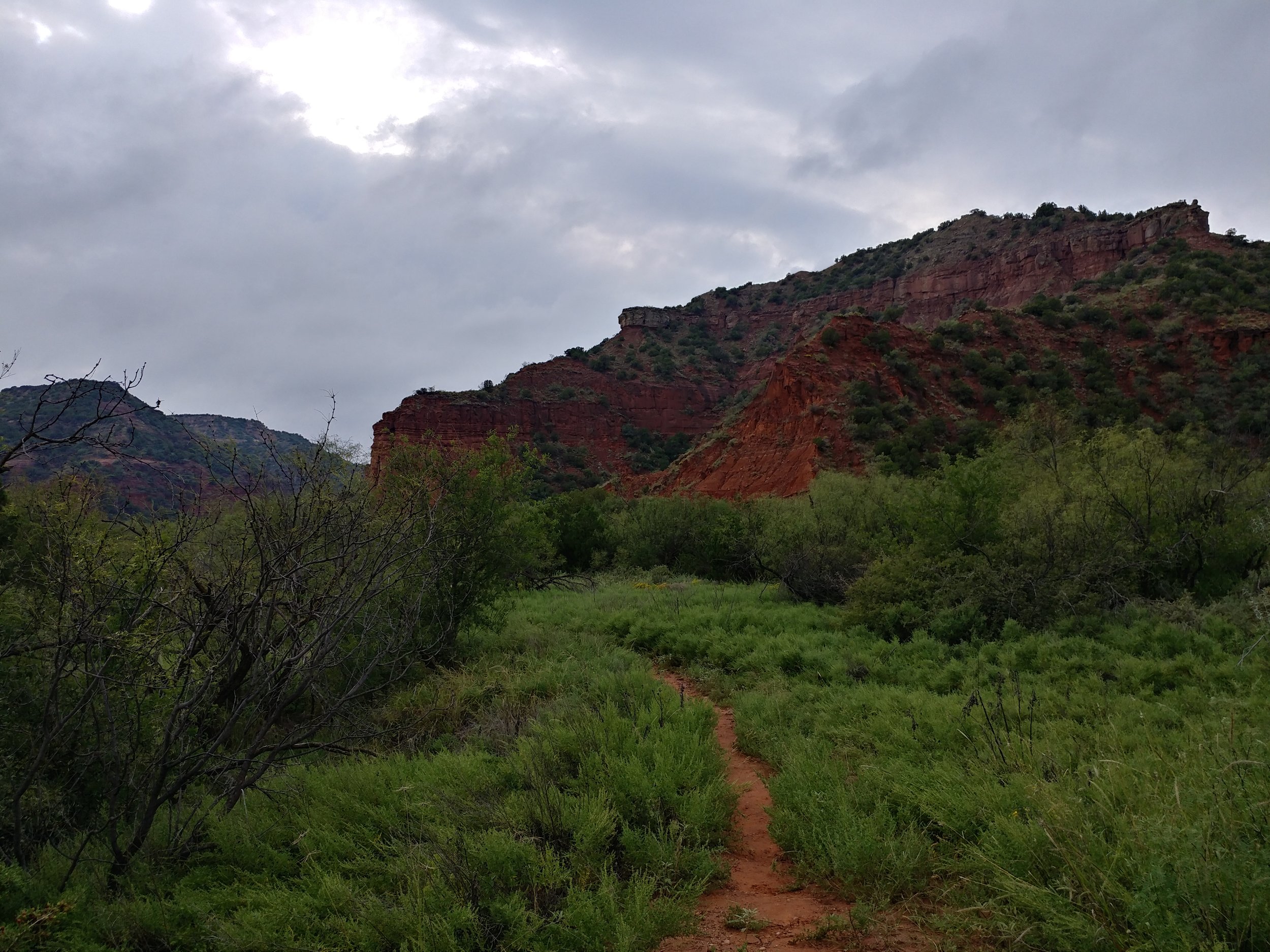
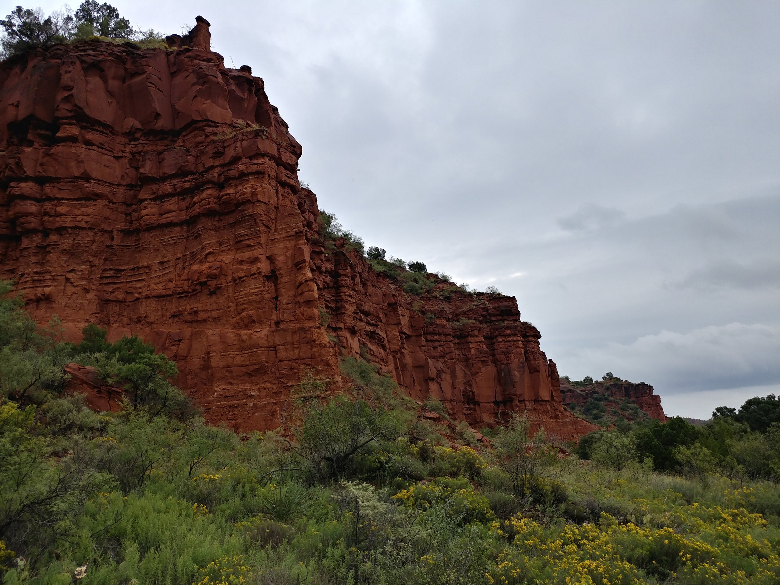
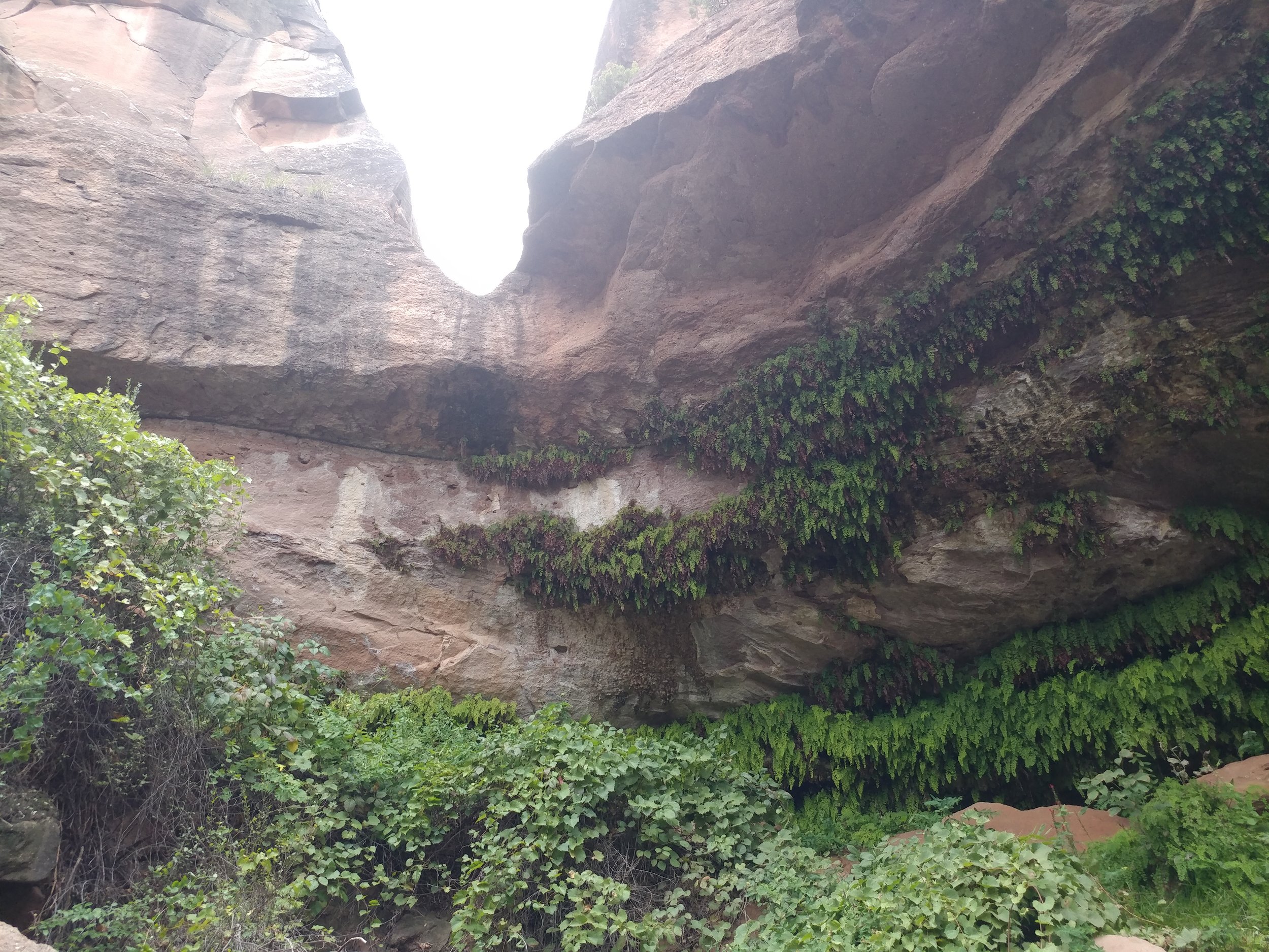
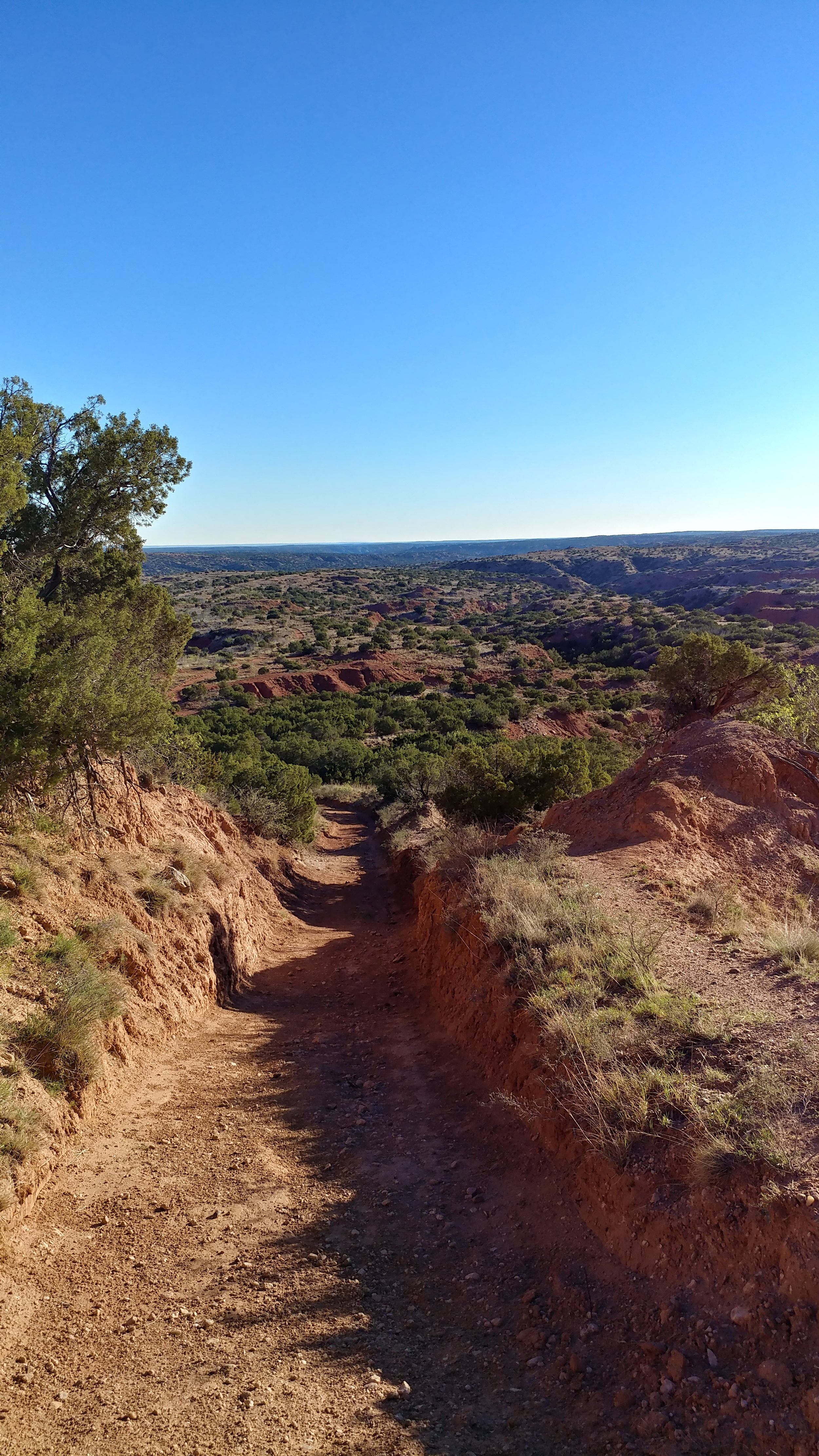
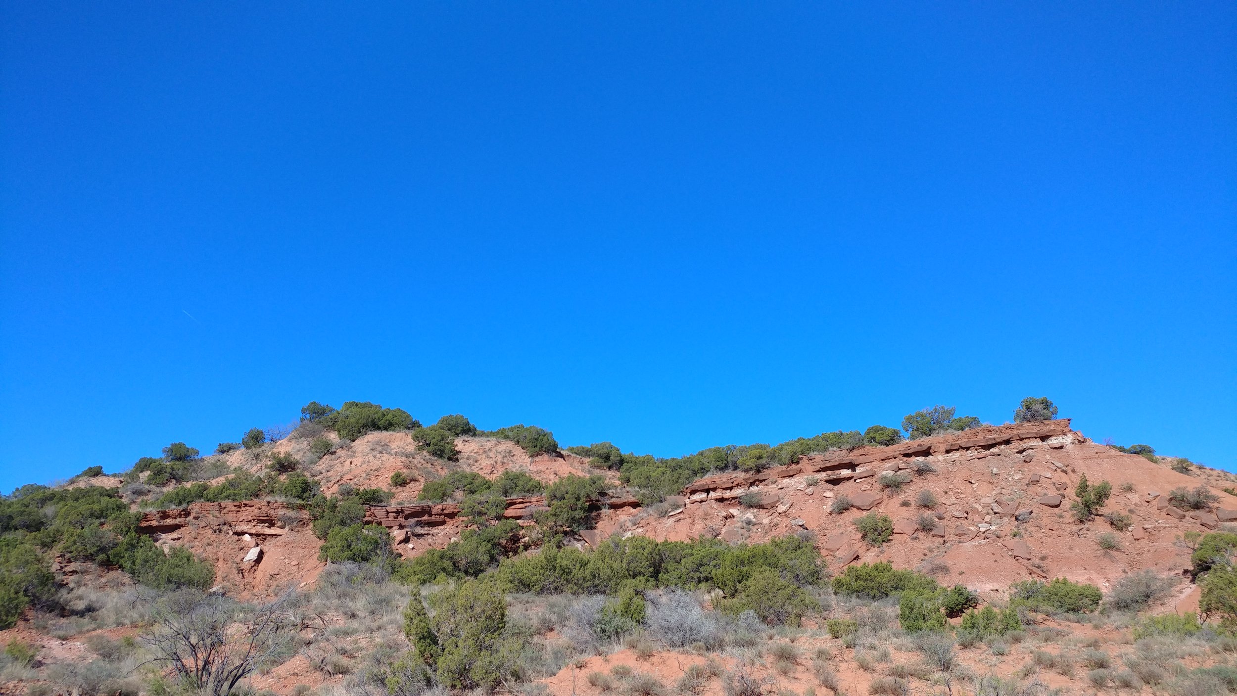
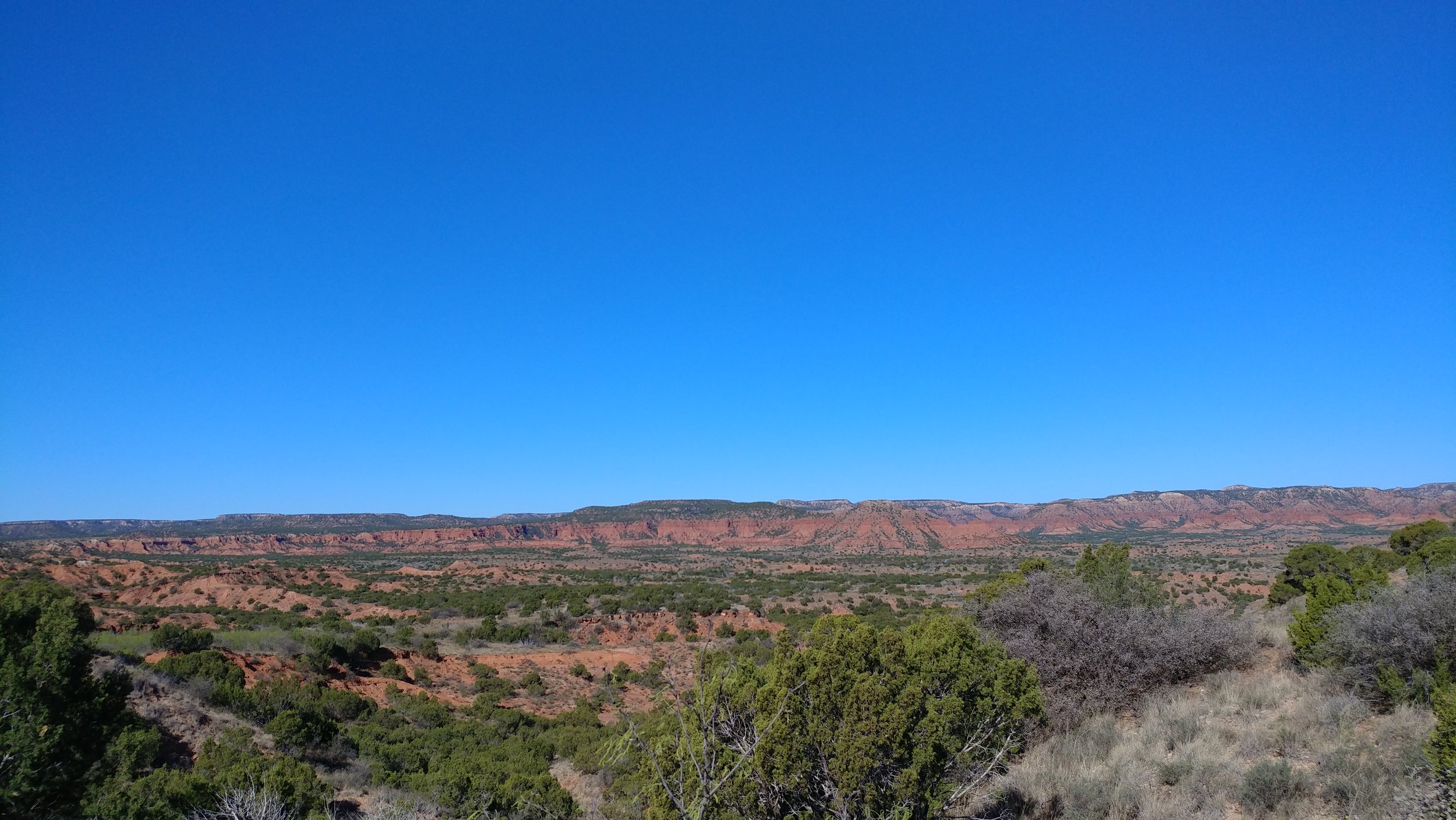
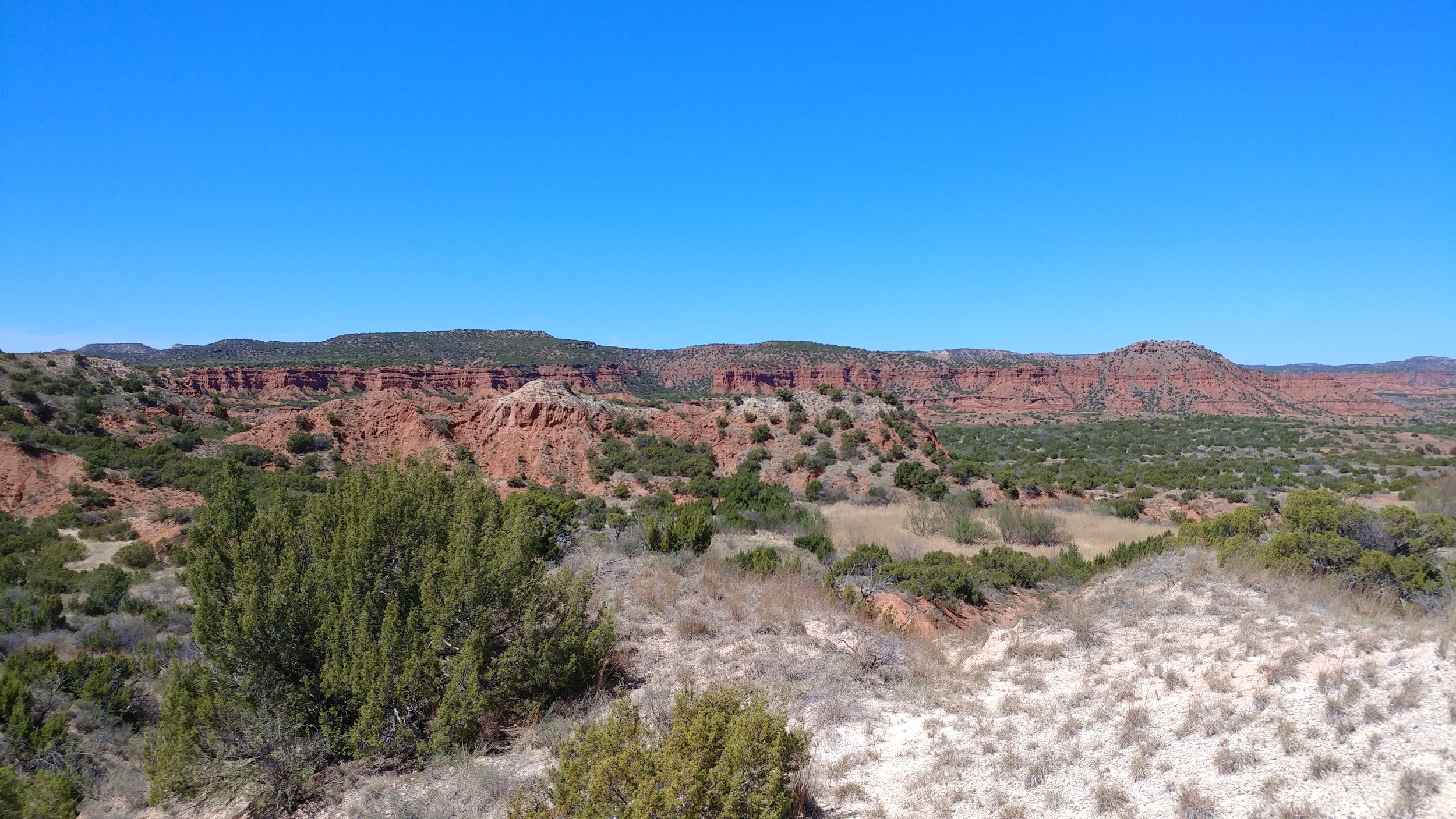
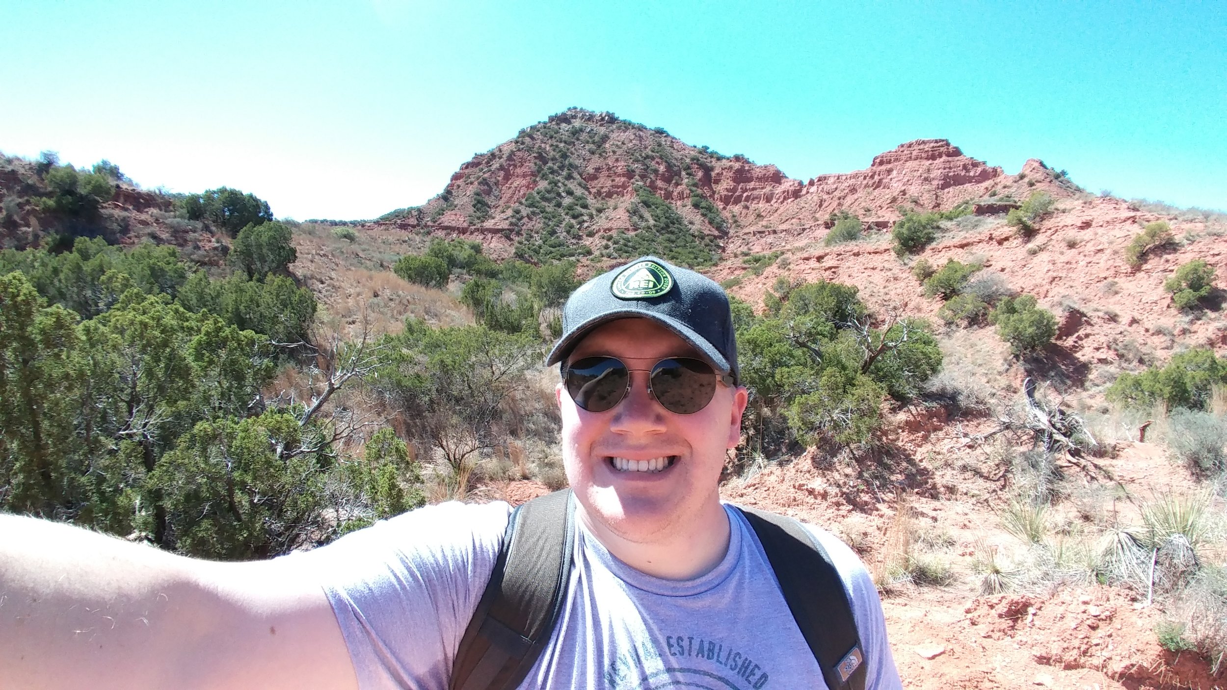
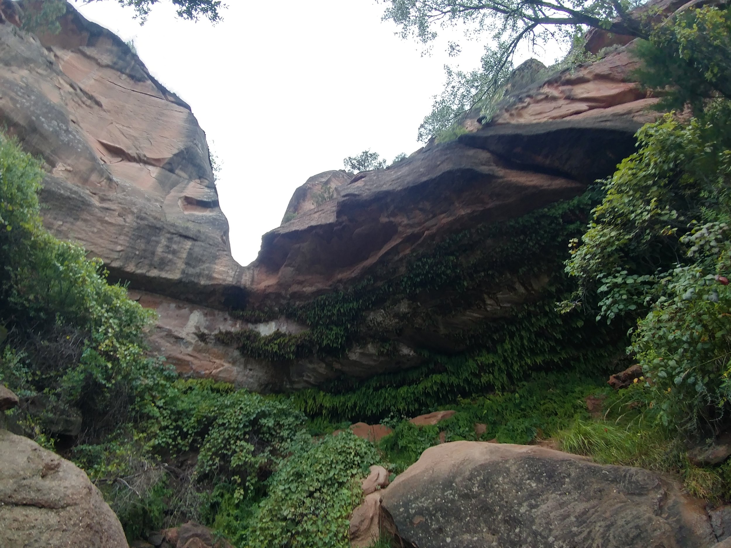
It was gray and misty, mild humidity, and cool in temperature. We set out from the campground down to a desert stream bed to see if it would lead to where we needed to go. Long story short, the stream bed did not take us where we wanted to go so we made our way back to camp and out to the road and onward to the trailhead parking lot - about a mile or so. Started on the Canyon Loop trail, which was familiar from our spring trek, and headed around to the Upper Canyon trail. We followed the Upper Canyon trail to the northeast corner of the park to a spot called Fern Cave. We passed two women hiking out of Fern Cave and they said it was spectacular. As we headed down the steep rocks into the cave, we realized they weren't kidding. The natural spring and temperature control create the perfect habitat for these ferns to grow. I've included a photo from 3/4 of the way down the descent:
The dog enjoyed fresh, cool water, and then we made our way out. We ran into a couple that was camping near us - and their dogs - and chatted for a second before heading back the way we came. We passed the women we saw earlier, they were enjoying a snack break, and we carried on. We get almost two miles down - to the point where we almost turn right on the Canyon Loop trail, and we are stopped because there is a huge bison on the trail. The bison was rolling in the clay when he wasn't staring us down. The women catch up, we brainstorm, and try a few options for getting around him as you aren't supposed to get too close or interact. We finally find a path through the woods - or overgrown brush really - that get us far enough around him to be safe-ish. The bison did start coming off trail towards where we were, but we just booked it as quickly as we could to put distance between us. The last mile-mile and a half was spent processing a situation I would have never guessed would happen. A lesson learned is always be prepared - it may have not been a bear or mountain lion, but a bison could be deadly if he charges.
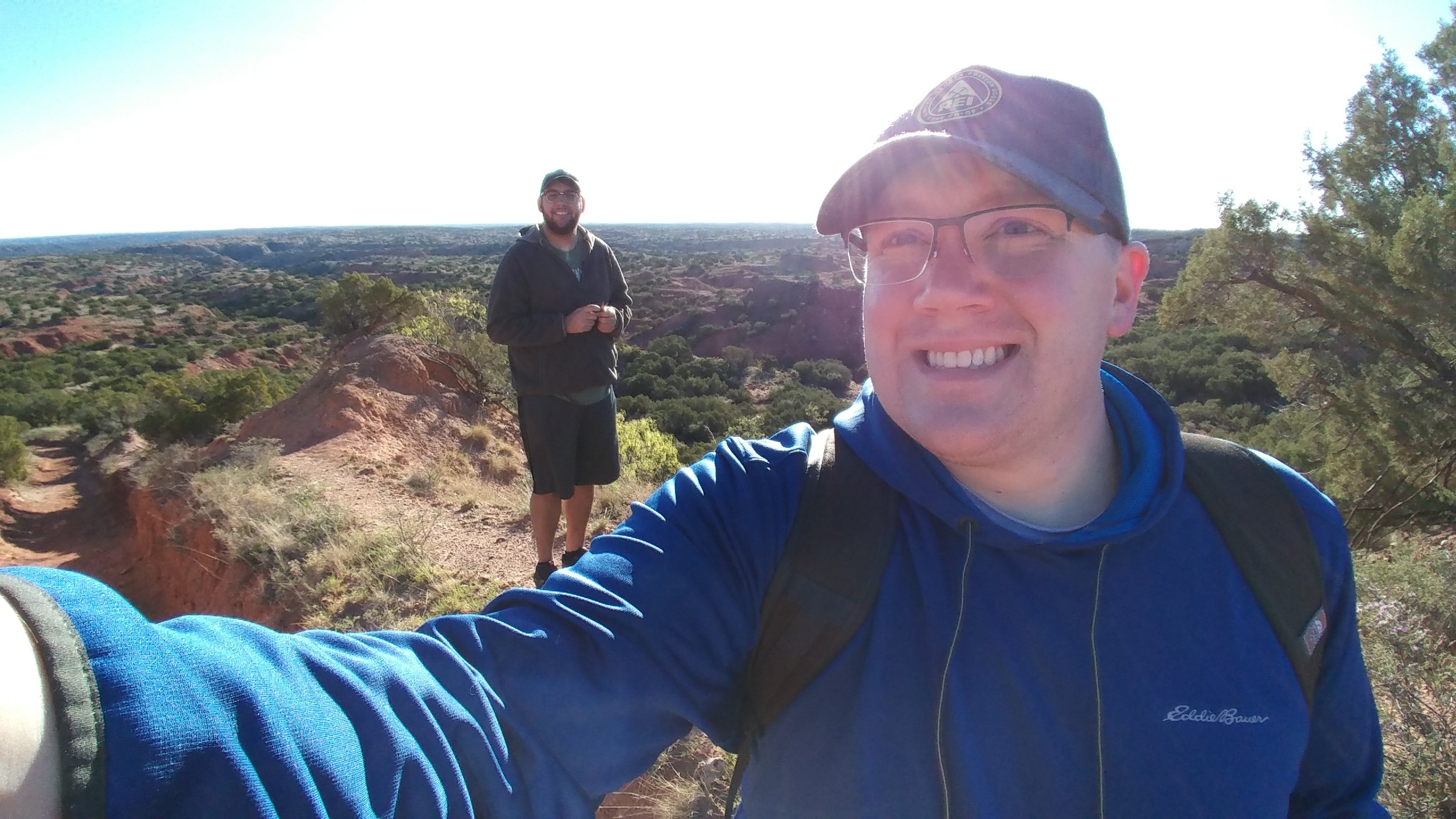
By far, my most memorable hike yet. Here are some photos:
Hike 39 of 52
Total Miles: 174.5
Total solo hikes so far: 13/39
Total companion hikes so far: 27/39
Total hikes w/ the dog: 14/39
Total unique locations: 24/39
Total number of hikes fully enjoyed: 36/39
#hike37 - Lake Mineral Wells State Park & Trailway
Location: Lake Mineral Wells State Park Date: 9/16/17
Distance: 6.62 miles
Trails: Primitive Camping Trail; Cross Timber Orange, Green, Yellow, Maroon, and Black
Here's a trail map for reference: Lake Mineral Wells Trail Map
We - Eric, Nikki, and myself - arrived around 8:30 am. We set off without a real plan, but knew we wanted to get back to the large elm tree near the end of the yellow trail. We started on the purple route, which gives great views of the lake and then takes you through the woods to the mixed use equestrian trails. We eventually made our way around to the yellow trail. We came to the old elm and it appeared to have died, I'm currently looking into the situation. From there, we took the orange trail back to the purple/green/black trail overlap and encountered a lot of sand. At one river crossing, we spotted three water snakes and they started coming our direction, so we booked it out of there to avoid any confrontation. After miles of breaking through spider webs as the first to hit the trail, we finally passed packs of people heading out as we came in - perfect timing and worth the webs. Enjoy some photos, below!
#hike34 - Cedar Ridge Preserve
Good morning! My hike this morning started early and ended strong. I set out to do the 8 mile DORBA loop at Cedar Hill State Park, but their trails were closed and were not marked on the website or social media - eye roll. Cedar Ridge is always a favorite and I wasn't even mad that I had the pleasure of hitting those trails. I actually remembered a trash bag too so I could collect the crap left behind by others. What a great morning. I beat the rain, by about an hour, and it was worth the early morning on a Sunday. Location: Cedar Ridge Preserve - Dallas, TX
Date: 8/27/2017
Distance: 4.2 miles (though, Google said 4.78 which I think was a stretch)
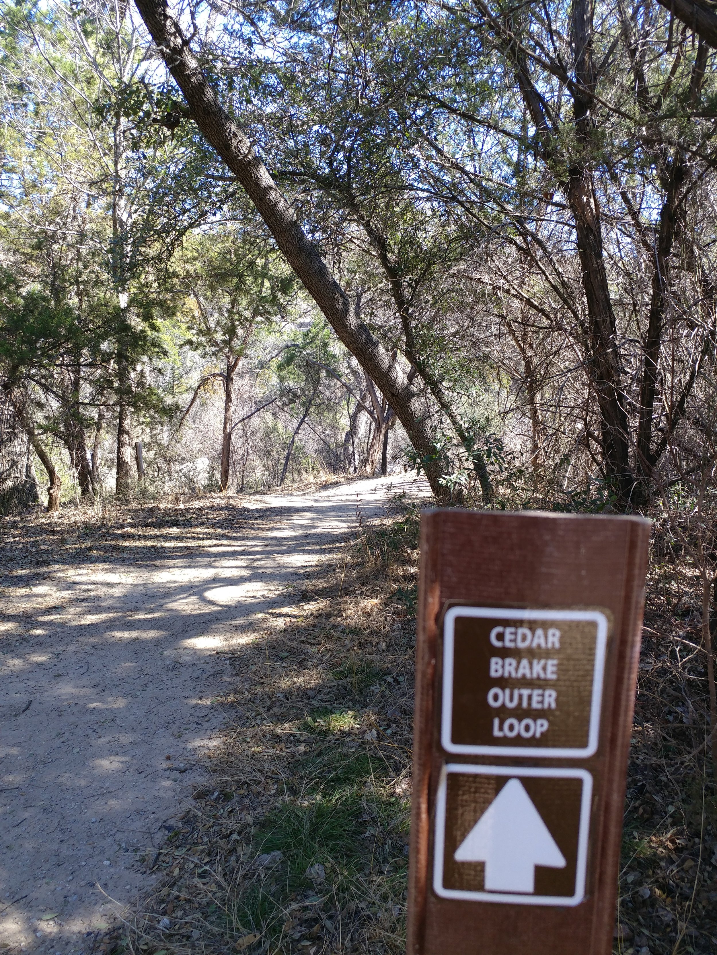
Trails: Cedar Brake, Fossil Valley, Cattail Pond
I set out to do all the hills I could find, and I did. I did the Cedar Brake trail which goes up and down, did the Fossil Valley because I knew it had a steep one, and same with Cattail Pond back to the parking lot. I really needed a day like this - to get my butt back in the groove of things.
Happy hiking!
#hike31 - Dinosaur Valley State Park
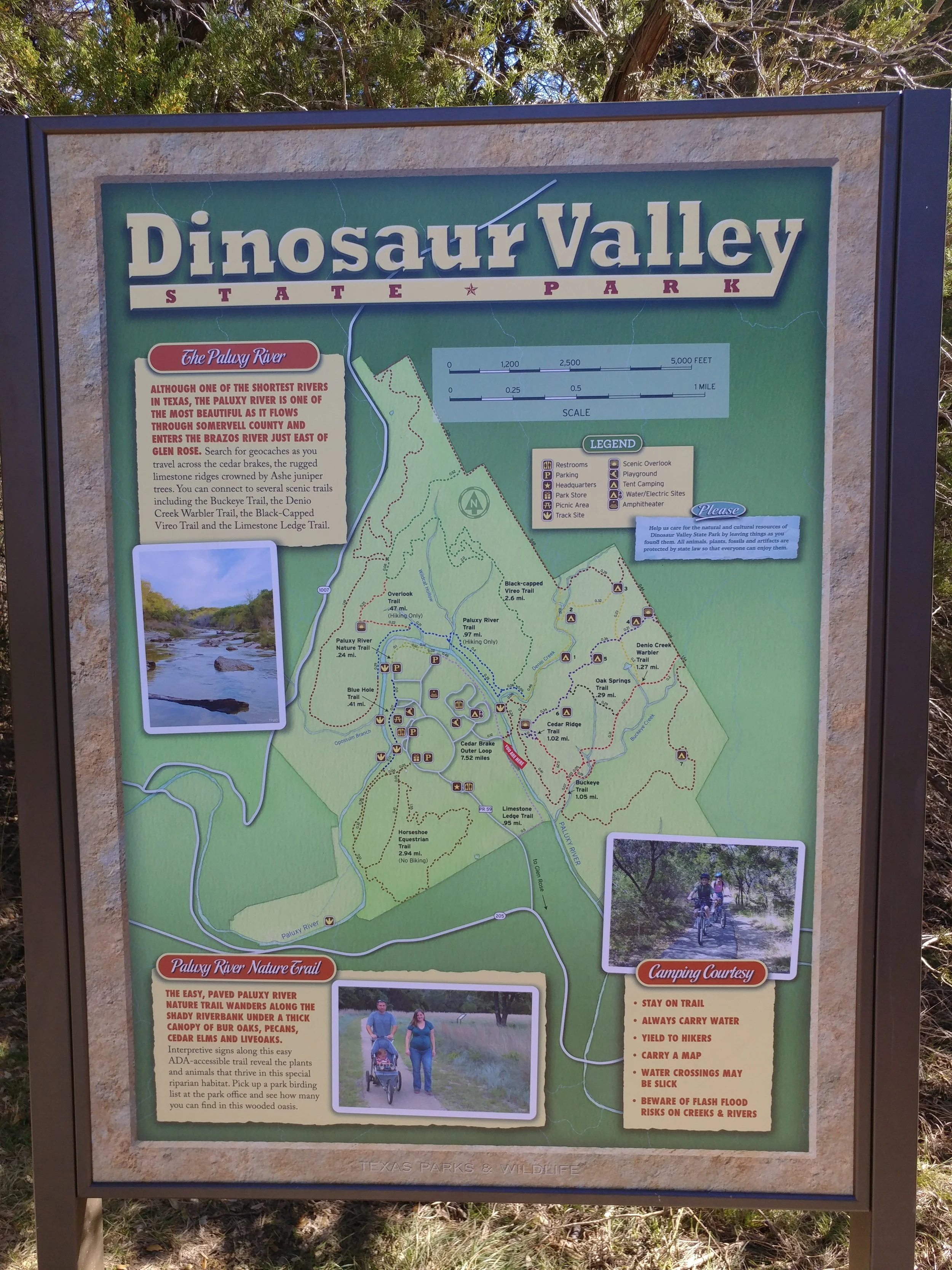
Date: 8/5/2017 Placed: Dinosaur Valley State Park - Glen Rose, TX
Distance: 5.5 miles
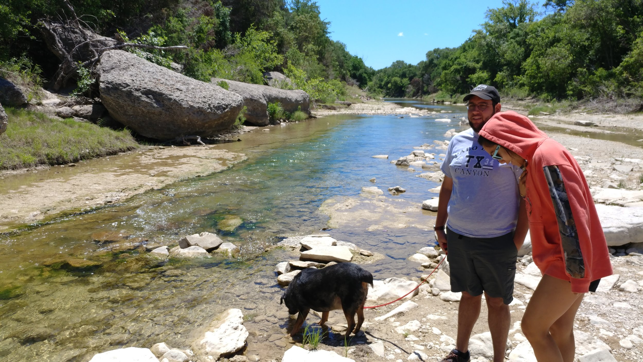
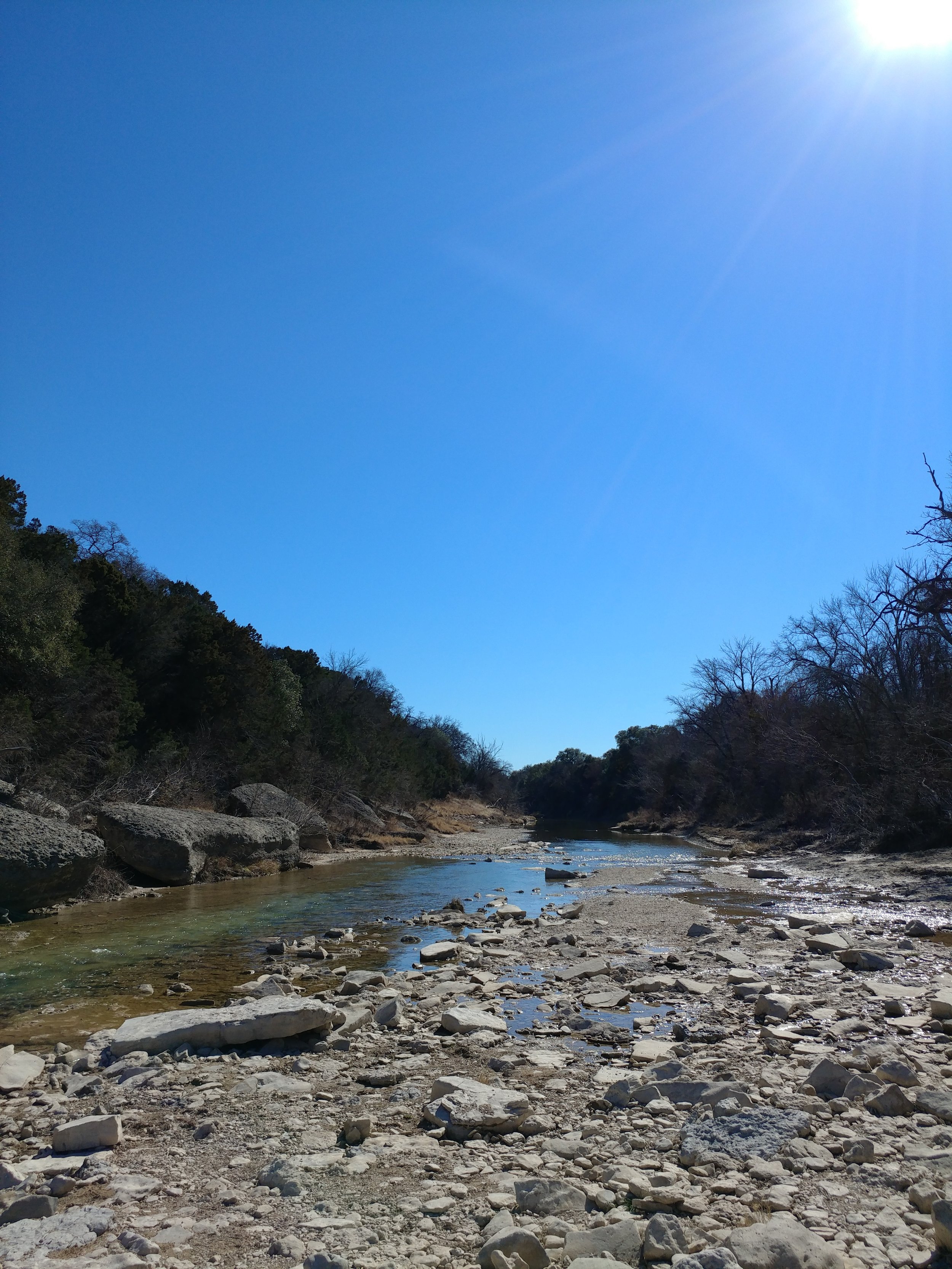
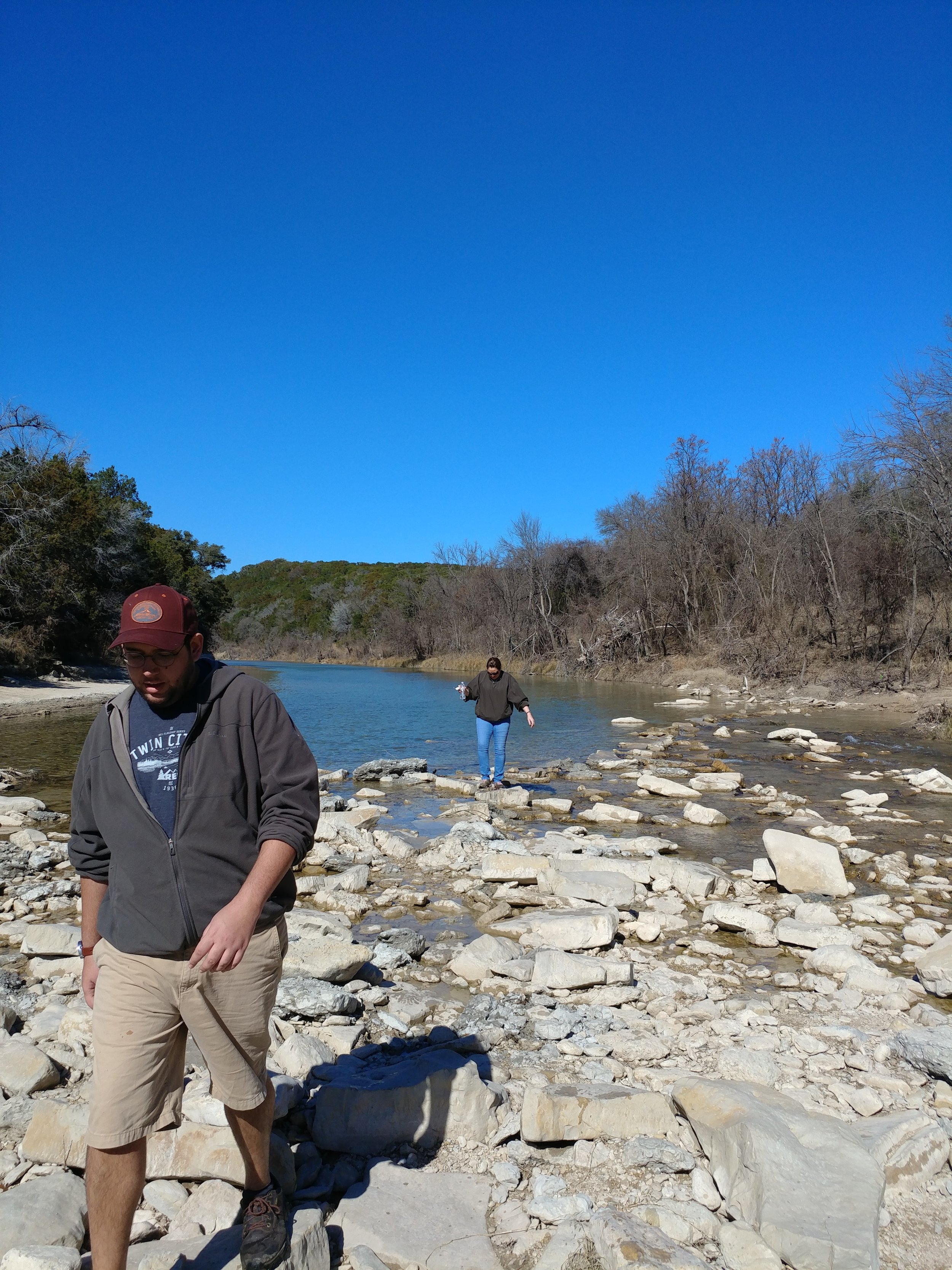
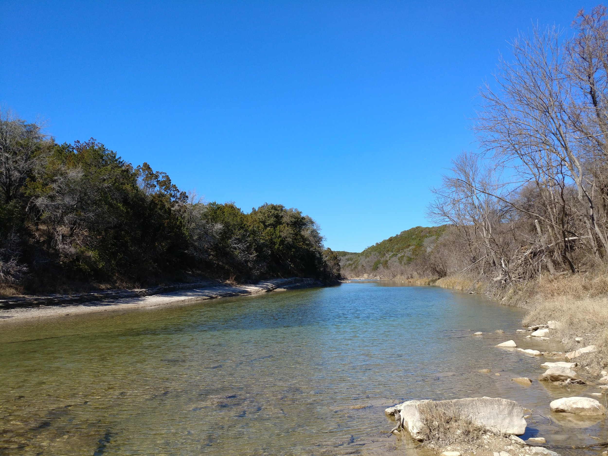
This week I met up with my friend and we drove down to Glen Rose. Dinosaur Valley is one of those parks that I love revisiting. There are plenty of trails, they're rarely crowded, and there's a lot of shade. We arrived around 8 am and there weren't many cars or people anywhere really. We parked, geared up, gathered extra water, and set out. The river was very low, almost just a trickle, and getting across was easier than other times. My friend Nikki explained what Bull Nettle was and why I needed to avoid it as we passed several of them on the way up in elevation from the riverbed. We were the trailblazers - clearing the spiderwebs at every turn. The horse flies were terrible, but I don't think I had that many bites overall. The temps stayed low, the humidity burned off, and the sun was mostly shielded by trees and bushes. All in all, it was a great way start Saturday and a great way to work off Friday night.
#hike30 - Cedar Ridge Preserve
Date: 7/30/2017 Placed: Cedar Ridge Preserve
Distance: 2.91 miles
I had grand plans to head to Oklahoma this morning to hike but my exhaustion and the appeal of sleep won. The plan was to wake up at 3:00a and leave by 3:30 to arrive at the trail head about 7. I bargained, stretched the alarm to 4:00a and still couldn't seem to get motivated. The next time I looked at a clock it was 10:00a and I was on to plan B - my standby, Cedar Ridge Preserve here in Dallas. We finally got to the trail around noon, and today wasn't as hot as it has been. The humidity was mid range and the temperature hovered around 88. We did Cedar Brake trail and went home. Chewy the Dog did not hold up well and I felt bad enough. I could have gone on to circle back around on Fossil Valley or Escarpment, but that poor dog. All in all, another couple of miles. Next week, looking at Dinosaur Valley State Park as I'll be down in that area to visit family. In two weeks I'll be in Oregon, gasp, I know. In three weeks, I'll be in Utah, double gasp. I'm honestly feeling so lucky this month. I'm trying to set up things for next month to include finally going to Oklahoma, maybe the Olympic Peninsula, and maybe Michigan. Here's to hoping!
Enjoy a few photos from today.
#hike29 - Cedar Ridge Preserve
Date: 7/22/2017 Placed: Cedar Ridge Preserve
Distance: 2.91 miles
My friend wanted to hike, so I wanted to show her Cedar Ridge as it's one of the nicest places within the city limits. We went, did Cedar Brake and a little of the Cattail Pond trail and had to head out. It was nice to get back into the local swing of things and I'm looking forward to Fall when the temps go back below 80.
This hike wasn't too long, and I really am working on getting for longer distances...
#hike21 - Cedar Mountain Nature Preserve
Date: 5/29/2017 Location: Cedar Mountain Nature Preserve (Dogwood Canyon Audubon Center)
Distance: 2-3 miles
I started out with intentions of going to Cedar Hill State Park for a hike on the DORBA trails and maybe the Duck Pond trail... I got to CHSP, was told the trails were closed, and left kind of bummed out. I didn't have cash in the car for Cedar Ridge Preserve so I drove down the road and saw Dogwood Canyon Audubon Center and remembered reading that there was a trail there. I had to go turn around then do a U-Turn, but I finally made it to the parking area. I set off, not knowing much about the trail and was quickly delighted. After an initial portion of the trail near Belt Line road, it went uphill and into the woods. For the most part, the entire trail was shaded and cool. It was probably just over a mile to the loop and I did the loop again to take it all in. All in all, I think I did about 2.3 miles - Google Fit kind of messed up and had a GPS error so it said WAY more than it was. It's a nice, light and easy trail for anyone!
#hike17 - Dinosaur Valley State Park
Date: April 30, 2017 Time: 12:30
Place: Dinosaur Valley State Park
Distance: 4.5 miles
Today, instead of our regularly scheduled hike, we picked up a friend and my aunt and headed down to Dinosaur Valley State Park in Glen Rose, TX. It was a very cool 70, it was windy, and the sun was shining. We did the Black Capped Vireo Trail, Overlook Trail, and the Paluxy Trail. All in all, the terrain was moderate. We arrived shortly after a mountain bike race, and had to deal with some of the after effects including a few bikers, and various confusing trail arrows. We would have loved a warning from the front gate about the mountain bikers, but all in all it wasn't that bad. The river was flowing, but it was low, so crossing to the trails weren't that bad. Chewy the dog had a good swim hunting for sticks.
As far as my hikes go, I'm up to just over 86 miles after the hike today!
#hike12 - Caprock Canyons State Park & Trailway
Date: March 25-26, 2017 Time: morning and midday
Place: Caprock Canyons State Park & Trailway
Distance: 14 +/- miles
The new thing we do is this: I'll come home Friday from work, pack, sleep, and then we'll head out in the middle of the night (technically Saturday 1-4am) and go somewhere for a morning hike with the intention of camping for the night.
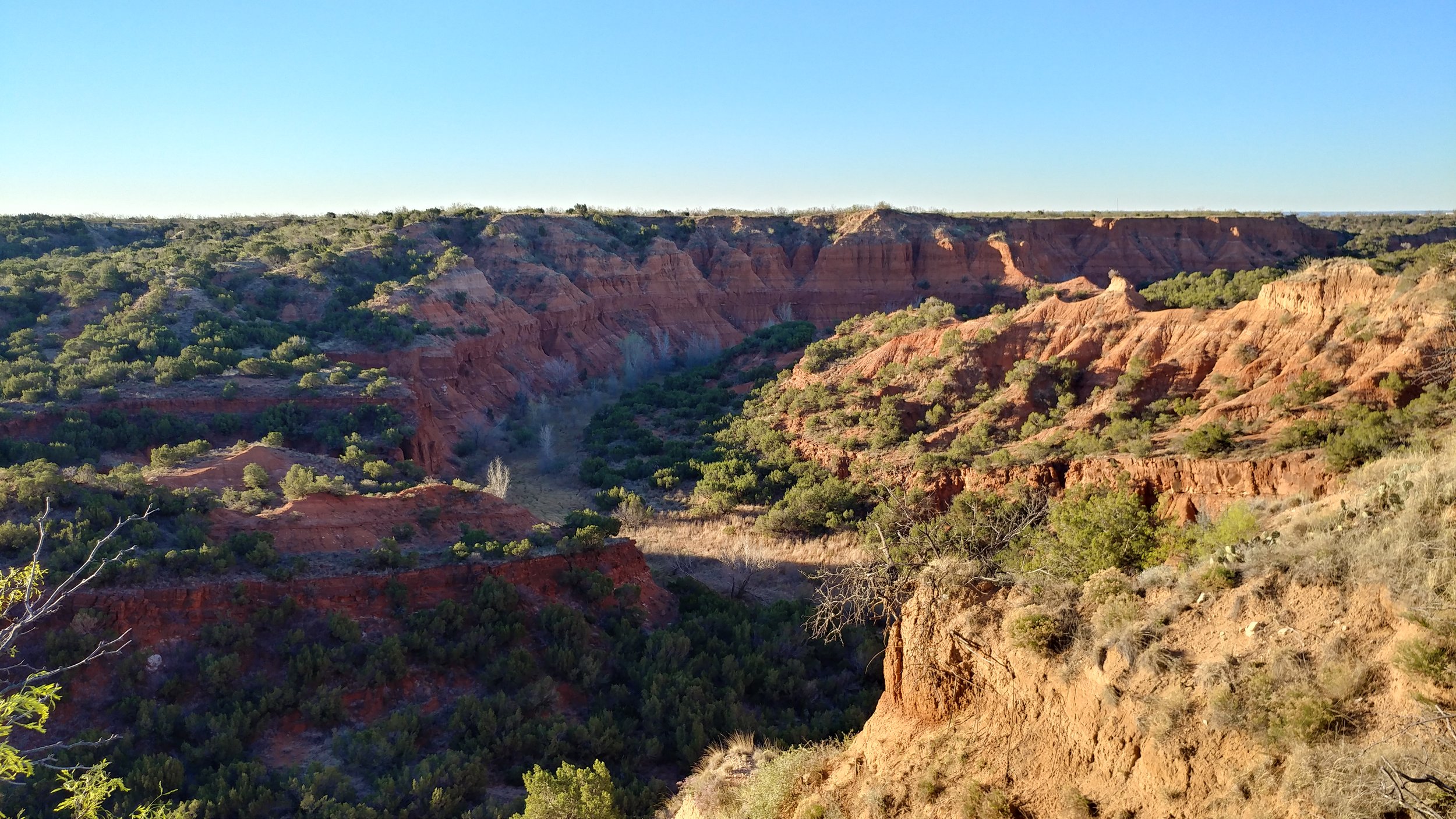
Early Saturday morning, we left around 3:15 and headed towards Caprock Canyons State Park. It was a relatively short drive, at just under five hours, and we were there just after sunrise. The first thing you're greeted with at this park is the herd of bison (read about the bison herd here). Once through that natural slow down, you check in and go on your way. We went to the Canyon Rim trail first, figuring we'd get some good views and start the day on an easy-moderate level. The first thing we noticed, after the bison, were the lack of people! The park wasn't crowded - how nice! We set off on the trail, getting our views and energizing our bodies for the day. It was mostly flat at first, winding along above the canyon but at the halfway point we started descending. It was the perfect time for a change of pace and scenery. We made it to the crossroads of the Wild Horse trail and made our way pack to where we started.
From there, we talked to a park ranger and learned we could check in before 2pm, which was news to us. We went, got our camping permit and assignment, and set up camp. From there we hiked the Eagle Point trail, which is two miles each way. The trail has expansive views, goes through the middle of the park, and is very exposed - no shade. We went up and down minor hills, and wound through the desert landscape. We found a natural bridge, some dried stream beds, and only passed a few people.
Sunday, we woke up and cleaned/packed the camp and headed to our last trail of the weekend. The Canyon Loop trail is only about 1.3 miles, but connects to several other trails. We were going to take it and connect to the Upper Canyon trail and go as far as Fern Cave. We got about .75 miles in and our sunburns from the previous day and the sluggish pace from Chewy the dog indicated we shouldn't go too much further. We manged another .75 miles but had to turn around. Chewy the dog was thirsty, tired, and had reached his limit for the weekend. I was impressed and thankful for his stamina throughout the entire weekend.
Major takeaways:
- Will need to revisit to go to Fern Cave and a few other trails - maybe in the fall/winter.
- Need to get a backpack with a water bladder for me alone, plus the other water for Chewy
- Need to get a collapsible water dish for Chewy - carrying around a conventional one is just extra bulk in the day pack
- Have to remember more sunscreen & to reapply often
- Need to remember my adventure hat with a wide, surrounding brim
#hike11 - Cooper Lake State Park
Date: March 18, 2017 Time: 5 pm
Place: Cooper Lake State Park – South Sulphur Unit
Distance: 4.9 miles
Hike 11 was a repeat so I could share this beautiful place with my better half. The weather was not cooperating with my plans, so Daingerfield will have to be moved to another weekend. We hiked the Coyote Run trail again and enjoyed the sun setting through the trees. The weather was warm, humid and partly cloudy. The bugs were out in full force, and so were the noisy families. It was less peaceful, but we eventually hiked far enough ahead to enjoy the birds and armadillos.
The white blossoms were dying, but more purple flowers opened since last week. There were a ton of new yellow flowers, but my camera ate the photos. Also, these big green plants were fresh this week. All in all, a lovely trip.
#hike10 - Cooper Lake State Park
Date: March 12, 2017 Time: 9:10 AM
Place: Cooper Lake State Park - South Sulphur Unit
Distance: 4.9 miles
I left a little later than I wanted this morning, but the drive went quickly. I was flying solo again today, so I was singing and dancing along embarrassingly to all my favorite jams. I made it there in less time than expected, as no one is out on a Sunday morning. I saw the sun peek through the clouds on the horizon, and knew it was going to be a good day.
I started off with a stop to Gulls Bluff Day Use Area to see the lake and look at a map. From there, I found parking and made my way to the Coyote Run trail head.It started off flat, with small trees and quickly wound back into the forest. Old trees, ravines, new trees, quite a mix. The air smelled of spring soil - if that makes sense. It rained all weekend, so it smelled of spring soil and that smell after the rain. The tiny leaves were opening, flowers in bloom, and birds very active. I saw two whitetail deer as well as some squirrels. This trail reminded me of trails in Ozarks or in Michigan - I didn't feel like I was in Texas at all. The sky was cloudy and the wind cold at the beginning, but the sun came out and it completely changed the way the forest looked. Light beaming down through leaves and flowers and casting shadows made all the difference. I went from extremely relaxed and peaceful to even more so but also giddy with joy. It was one of the best mental experiences of my hikes so far. Here are a few photos! Happy hiking!
#hike4 - Dinosaur Valley State Park
Date: January 28, 2017 Time: 11 am
Place: Dinosaur Valley State Park - Glen Rose, TX
Distance: 4.5+/- miles
This hike was, by far, the best hike of the year so far. I know, there have really only been 4, but it was just what I needed at this time. This hike included my aunt and my better half, which definitely didn't hurt as well as the first appearance of Chewy the Dog on a #52hikechallenge hike. The setting is rural, just outside of town and the park is large enough that once on the trails we didn't hear a thing from the main gate.
The trails we chose were the Cedar Ridge trail with parts of the Cedar Brake trail and the Buckeye trail. To begin, you park in a small lot near the campground entrance. From there you make your way down to the river and you must cross. The water was gentle and relatively low, so we made it without any major wet feet. From there, the elevation climbs and you begin hiking the ridge overlooking the river. The trail meanders through junipers and over the rock formations. Along the way you'll find hike-in campsites, which look appealing for a potential camping trip this year!
This hike was far away from the DFW metro area and that was the selling point. The woods was quiet - I could hear the wind through the trees, critters stirring, birds in the bushes, and the ground beneath me feet as I trekked forward. I didn't hear cars driving, horns honking, too many other people in general, or anything else annoying. The land was clean, free of trash, and it smelled fresh. All in all, it was just a wonderful day at peace with nature. I'm attaching some photos and highly recommending this place for anyone that wants a relaxing, yet adequately challenging hike.
Happy hiking!
A little list. (updated 4 Jan 2017)
This is a working list of locations I'm considering for the 52 Hike Challenge. As it stands, I know there will be weekends that I will not be able to leave too far out of town and thus I'm sure some of the local areas will get reused. I'm hoping to take advantage of holiday weekends and my vacations to Alaska, Minnesota, and Michigan that are already on the calendar for 2017. If I could teleport, this would be so much easier. If anyone in DFW is interested in going to any of these locations, get in touch somehow.
Hiking Ideas for 52 Hikes with Mike – 2017
- Balcones Canyonlands National Wildlife Refuge - Texas
- Lake Murray State Park – Oklahoma
- Tyler State Park – Texas
- Davey Crockett National Forest – Texas
- Cleburne State Park – Texas
- Dinosaur Valley State Park – Texas
- Cedar Hill State Park – Texas
- Garner State Park – Texas
- Lake Mineral Wells State Park & Trailway – Texas
- Possum Kingdom Lake State Park – Texas
- Caprock Canyons State Park – Texas
- Palo Duro Canyon State Park – Texas
- Monahans Sandhills State Park – Texas
- Guadalupe Mountains National Park – Texas
- Carlsbad Caverns National Park – New Mexico
- Big Bend National Park – Texas
- Big Bend Ranch State Park – Texas
- Enchanted Rock State Park – Texas
- Garner State Park – Texas
- Lost Maples State Natural Area – Texas
- Padre Island National Seashore – Texas
- Pedernales Falls State Park – Texas
- Angelina National Forest – Texas
- Herman Vogler Conservation Area – Michigan
- Lake Tawakoni State Park – Texas
- Daingerfield State Park – Texas
- Besser Natural Area – Michigan
- Tahquamenon Falls State Park – Michigan
- McFarland Lake – Minnesota
- Denali State & National Parks – Alaska
- Chugach National Forest – Alaska
- Ozark National Forest – Arkansas
- Eagle Mountain Park - Texas
- Bandelier National Monument - New Mexico
- Guadalupe River State Park - Texas (dog friendly)
- Hill Country Natural Area - Texas (dog friendly)
- Cedar Ridge Preserve - Texas (dog friendly)
- Grapevine Lake - Texas (dog friendly)
- Inks Lake State Park - Texas (dog friendly)
- Franklin Mountains State Park - Texas (dog friendly)
