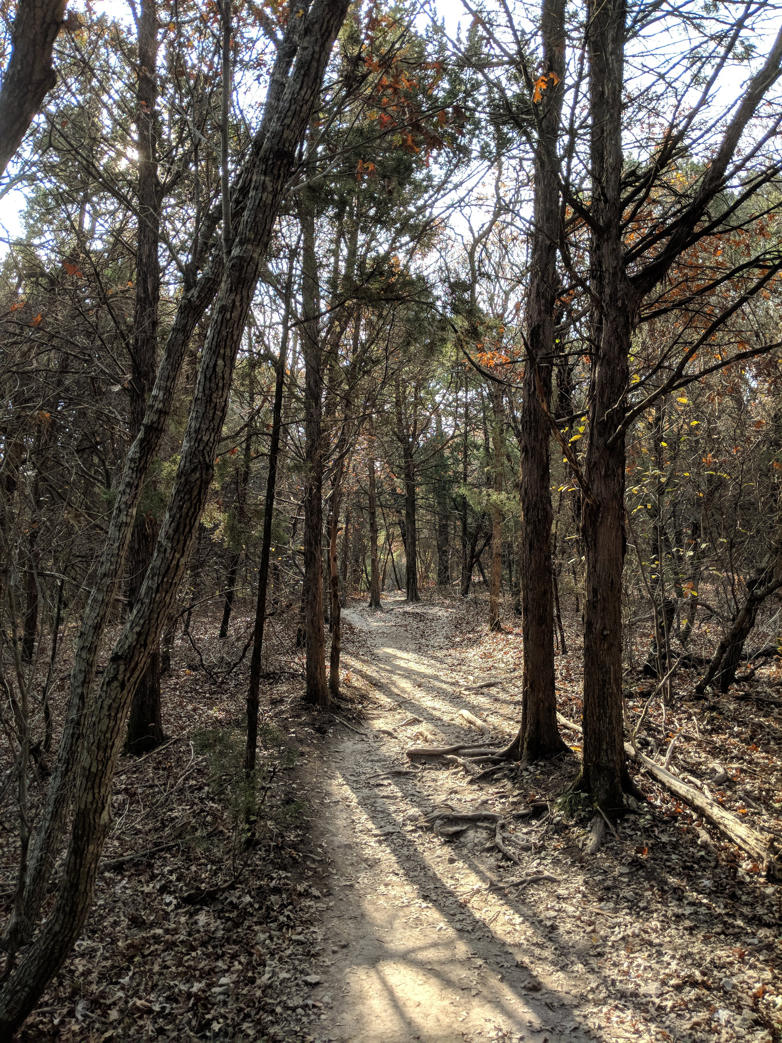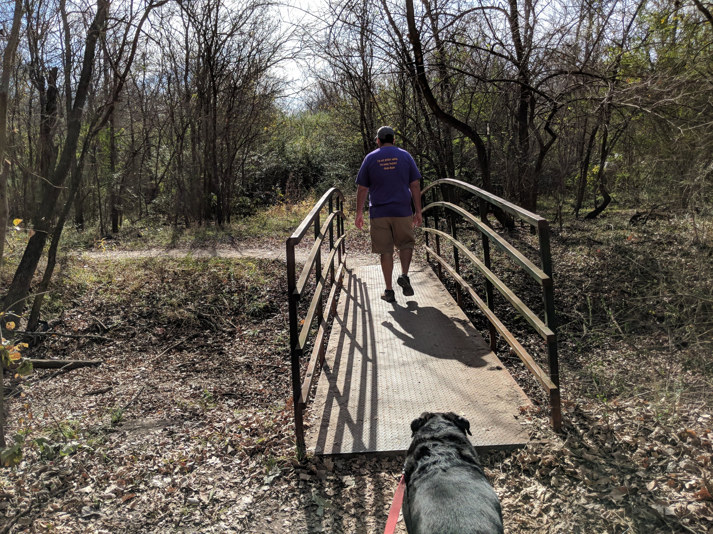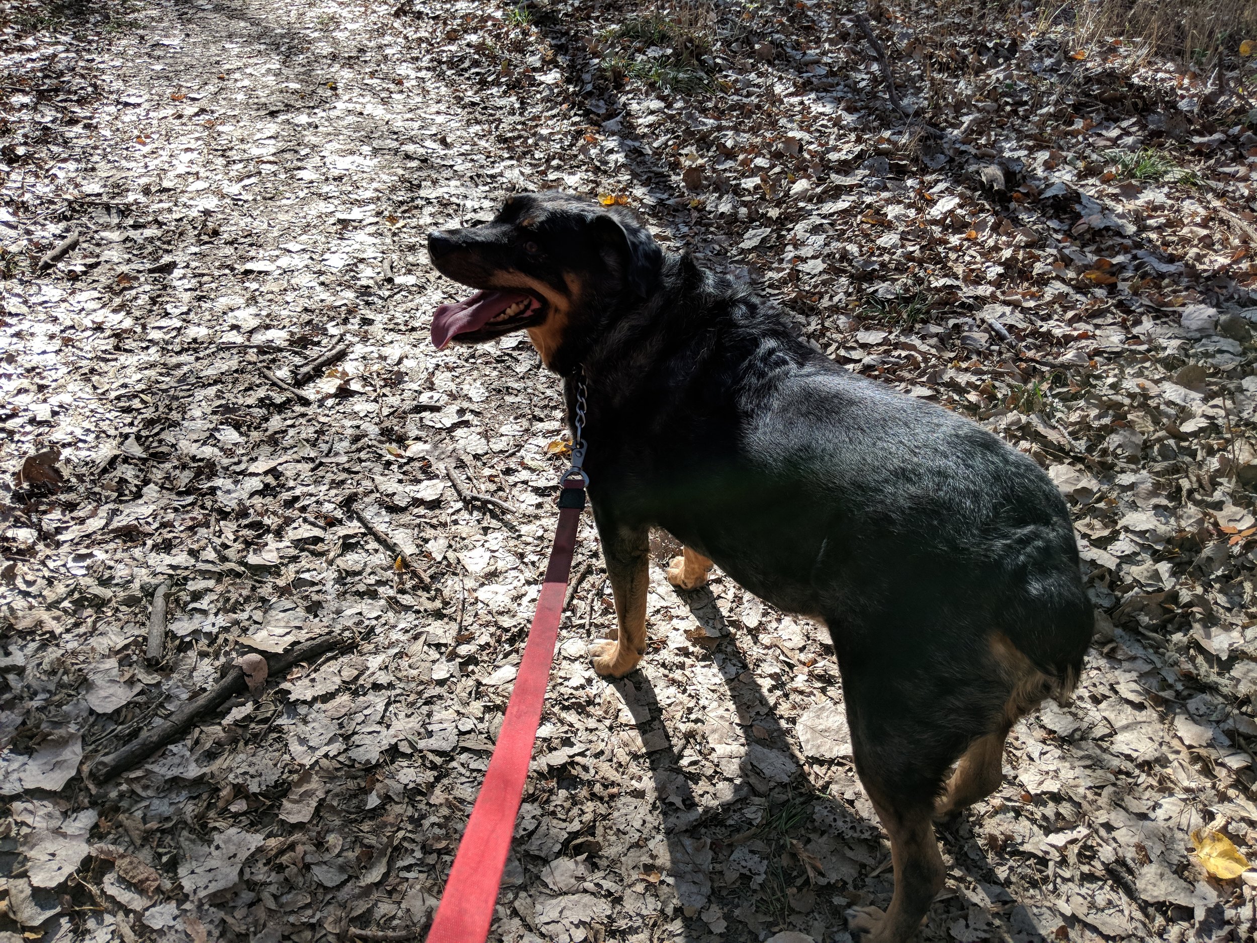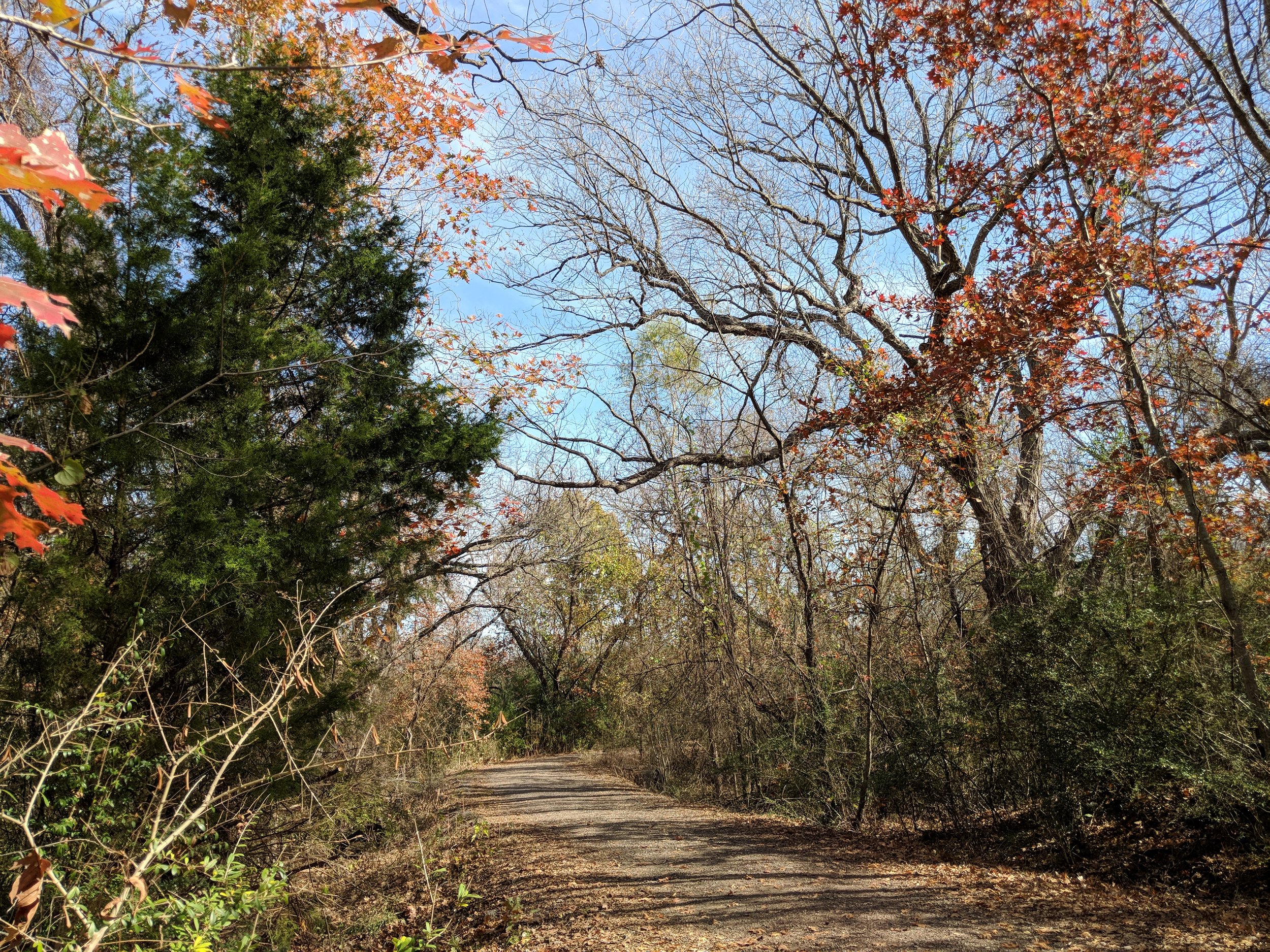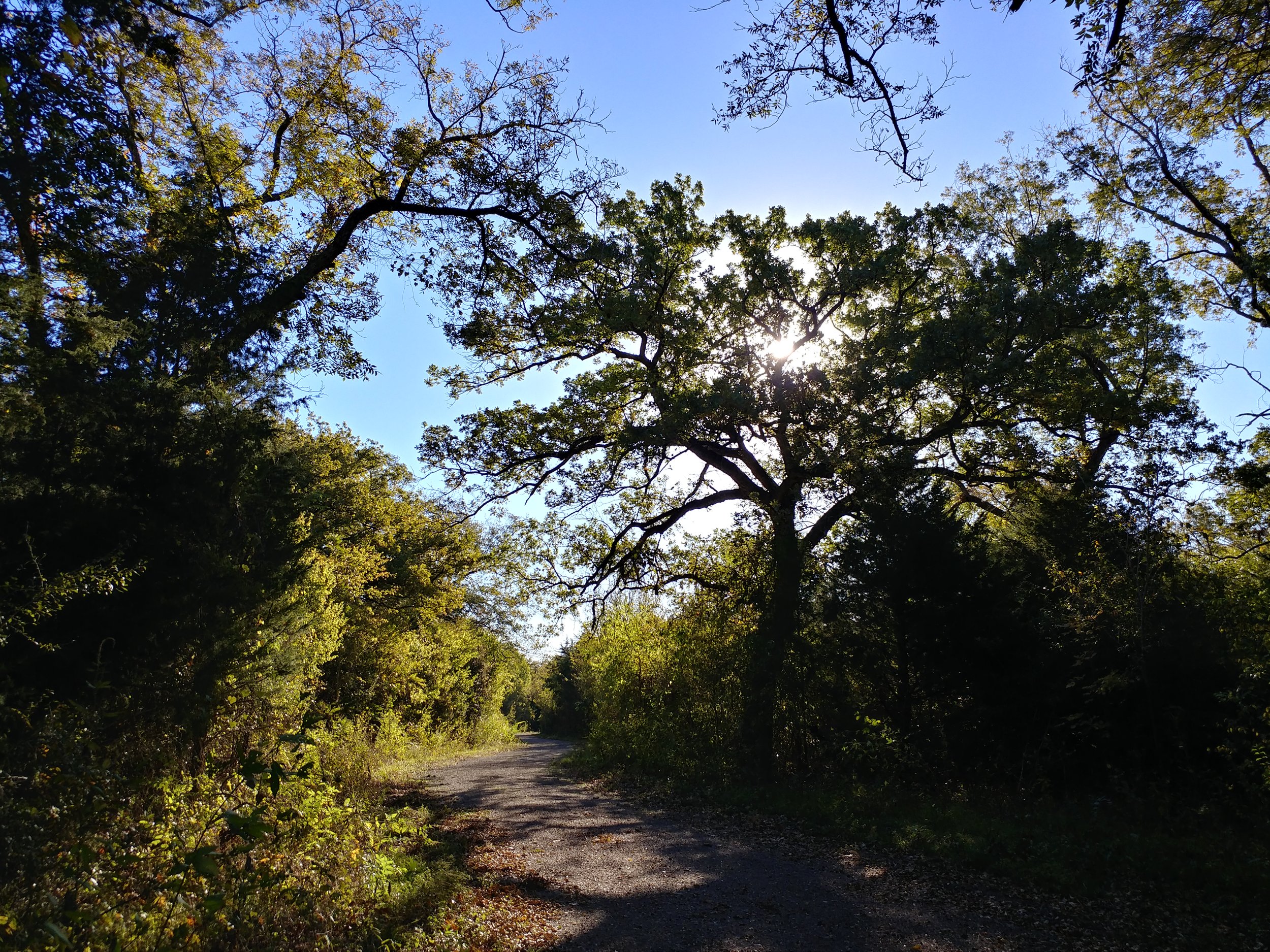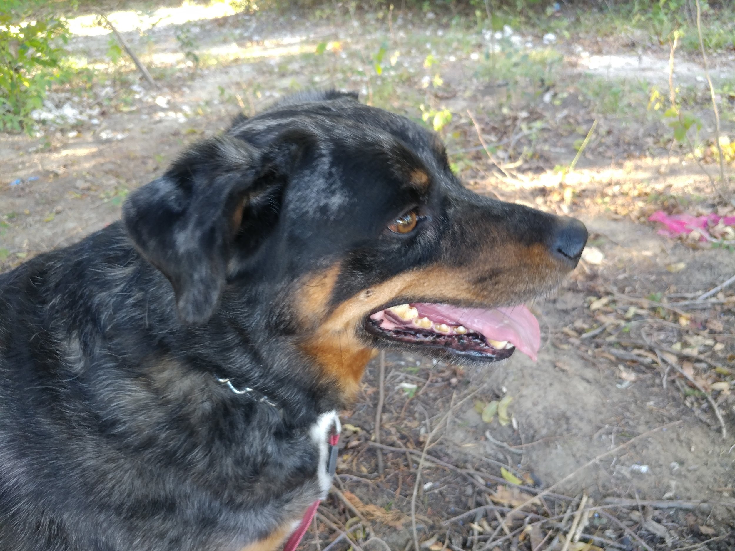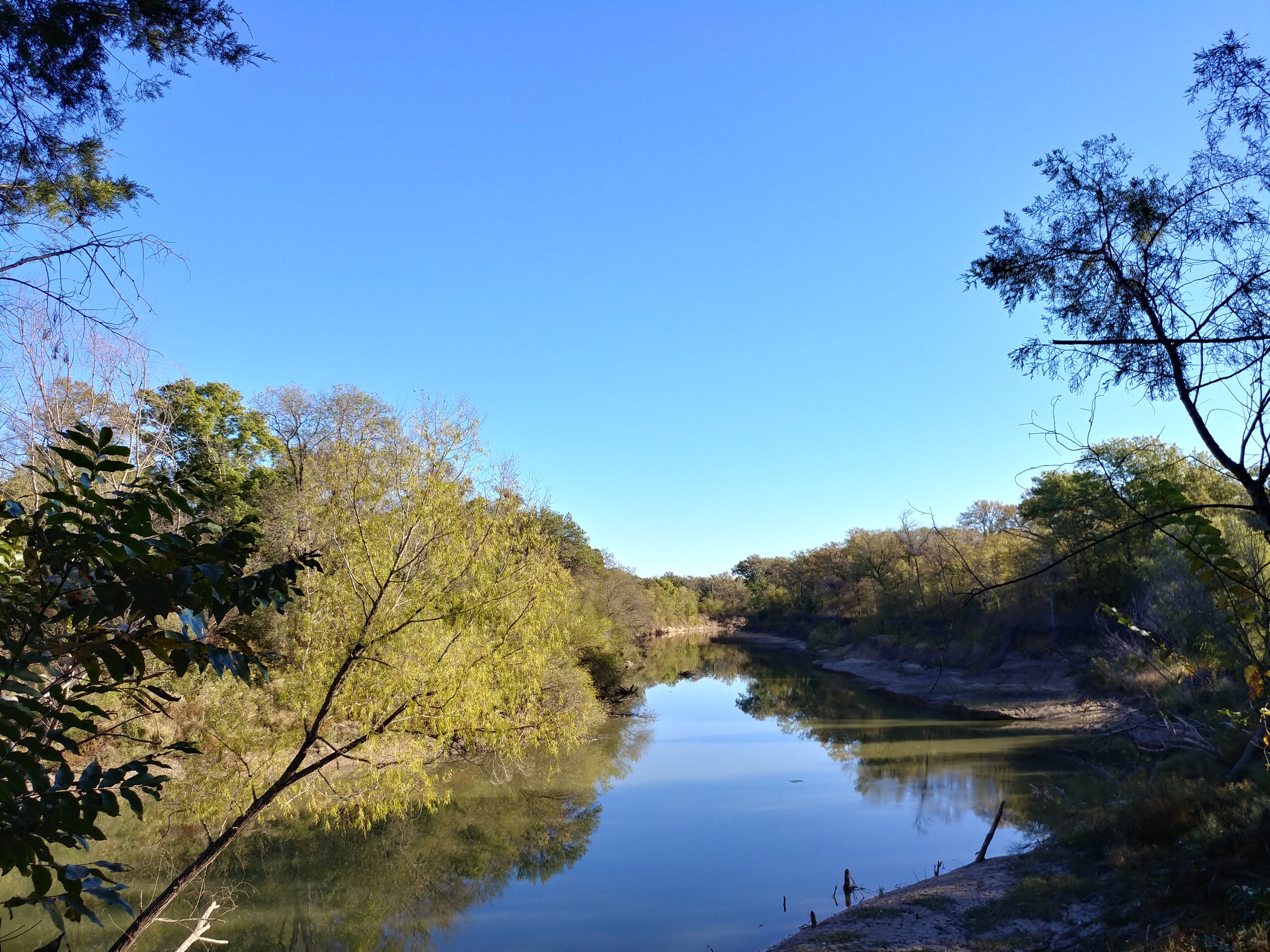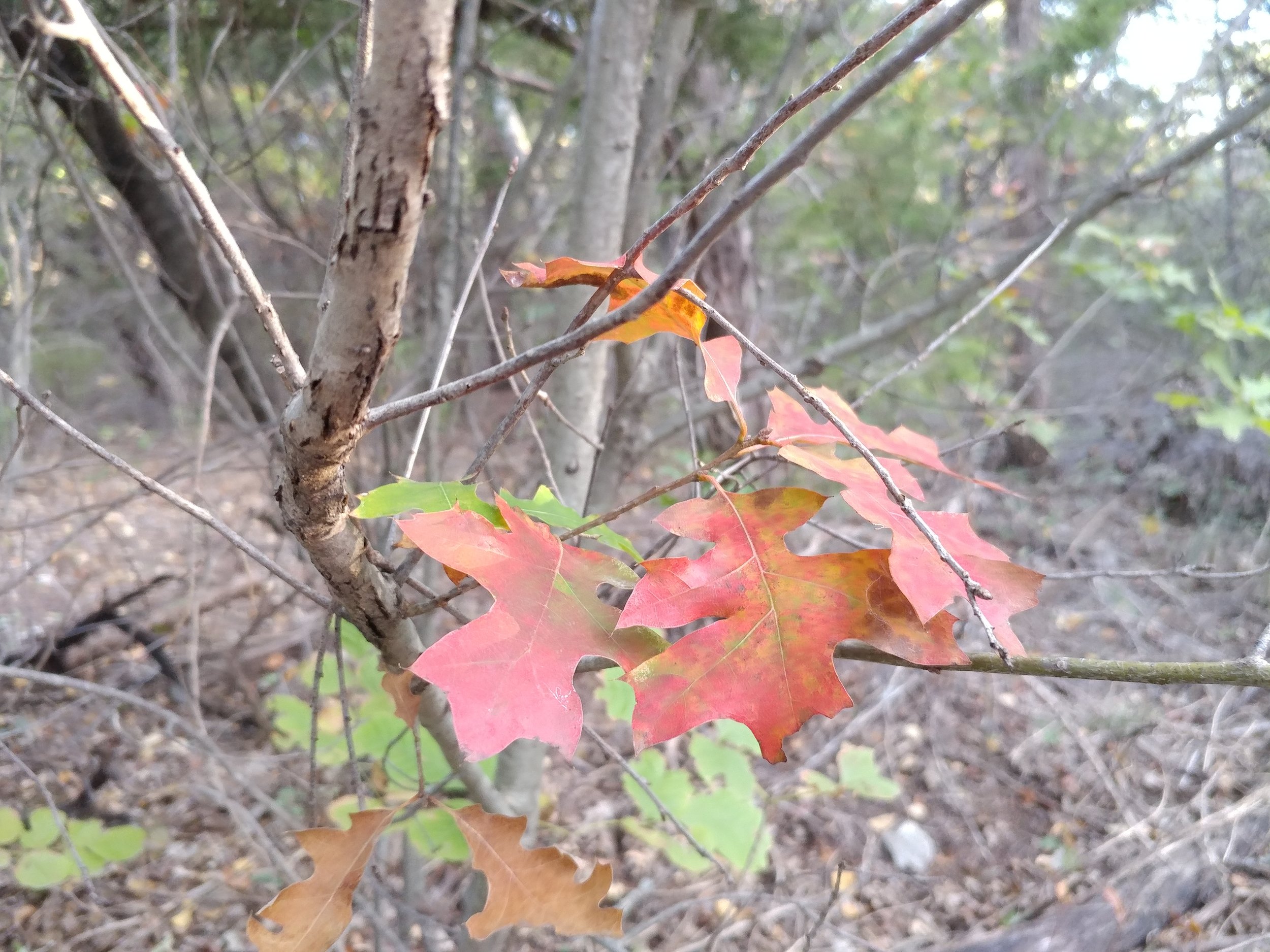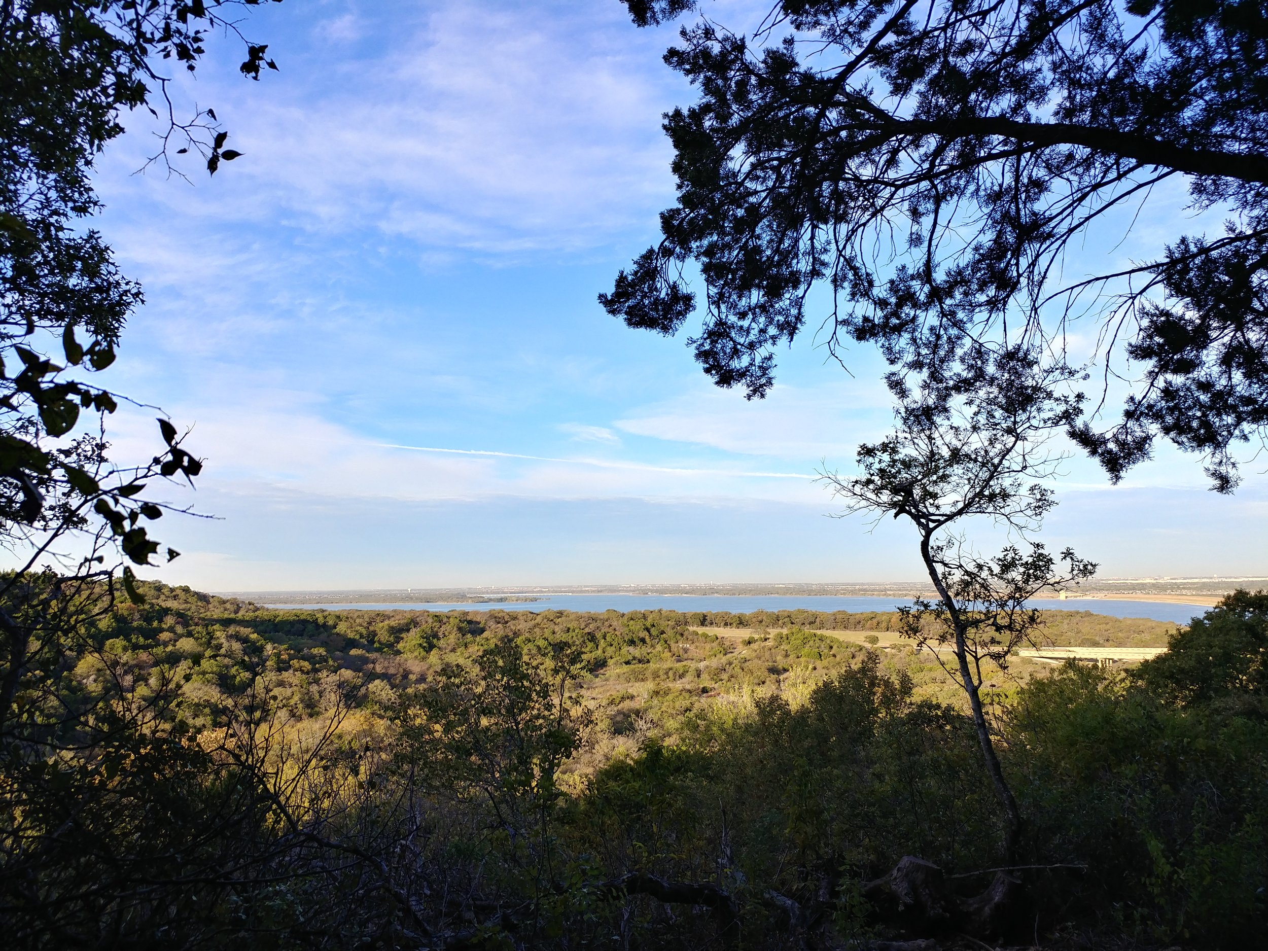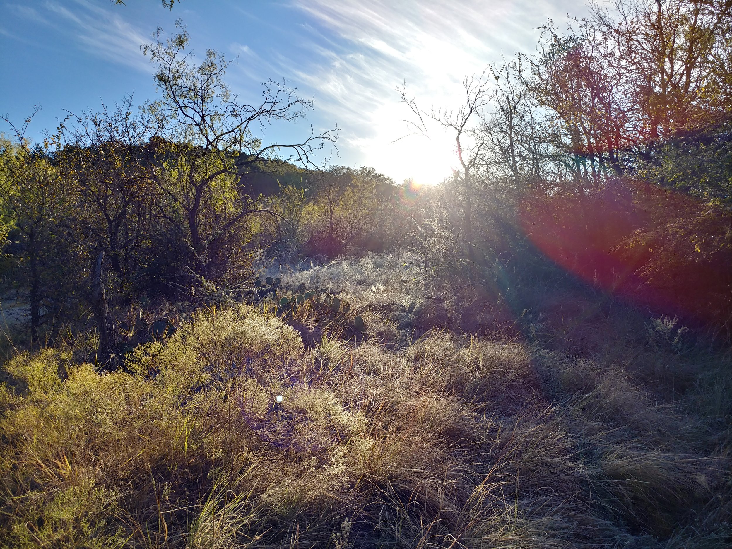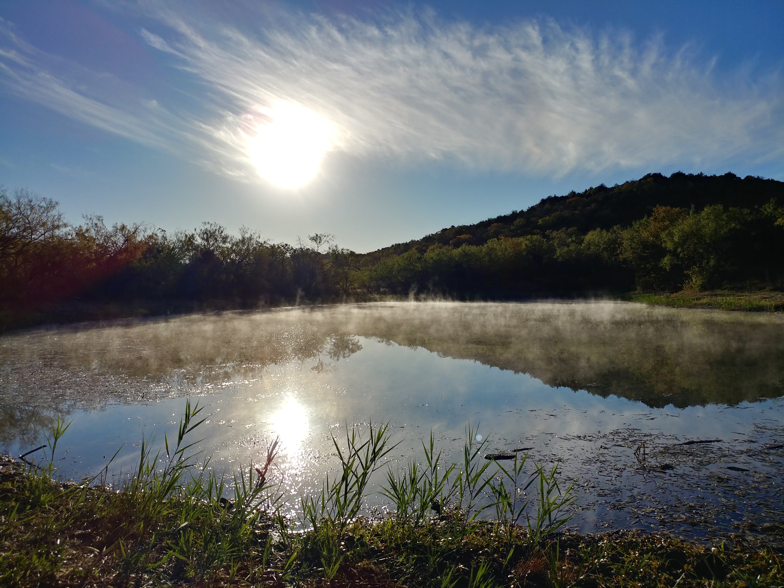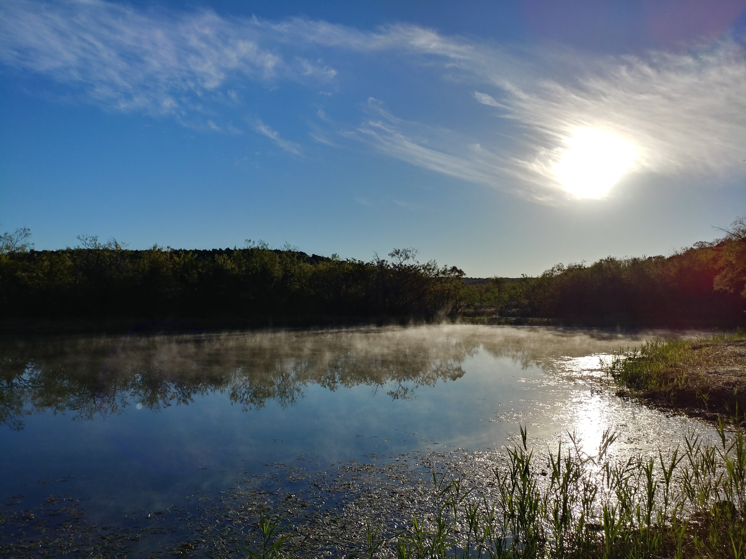
#hike50 - Arbor Hills Nature Preserve
Location: Arbor Hills Nature Preserve Date: 12/20/17
Distance: 1.5
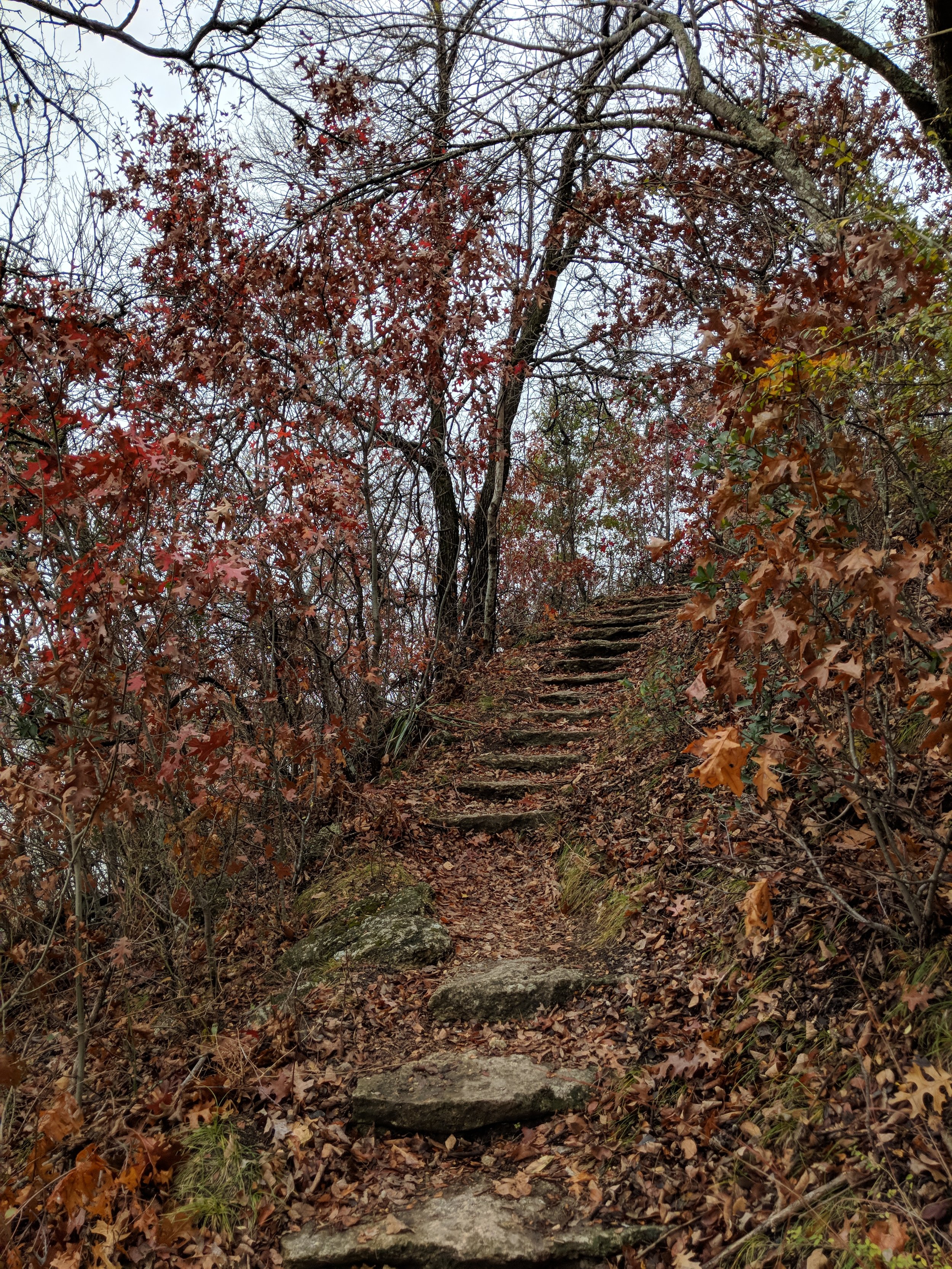
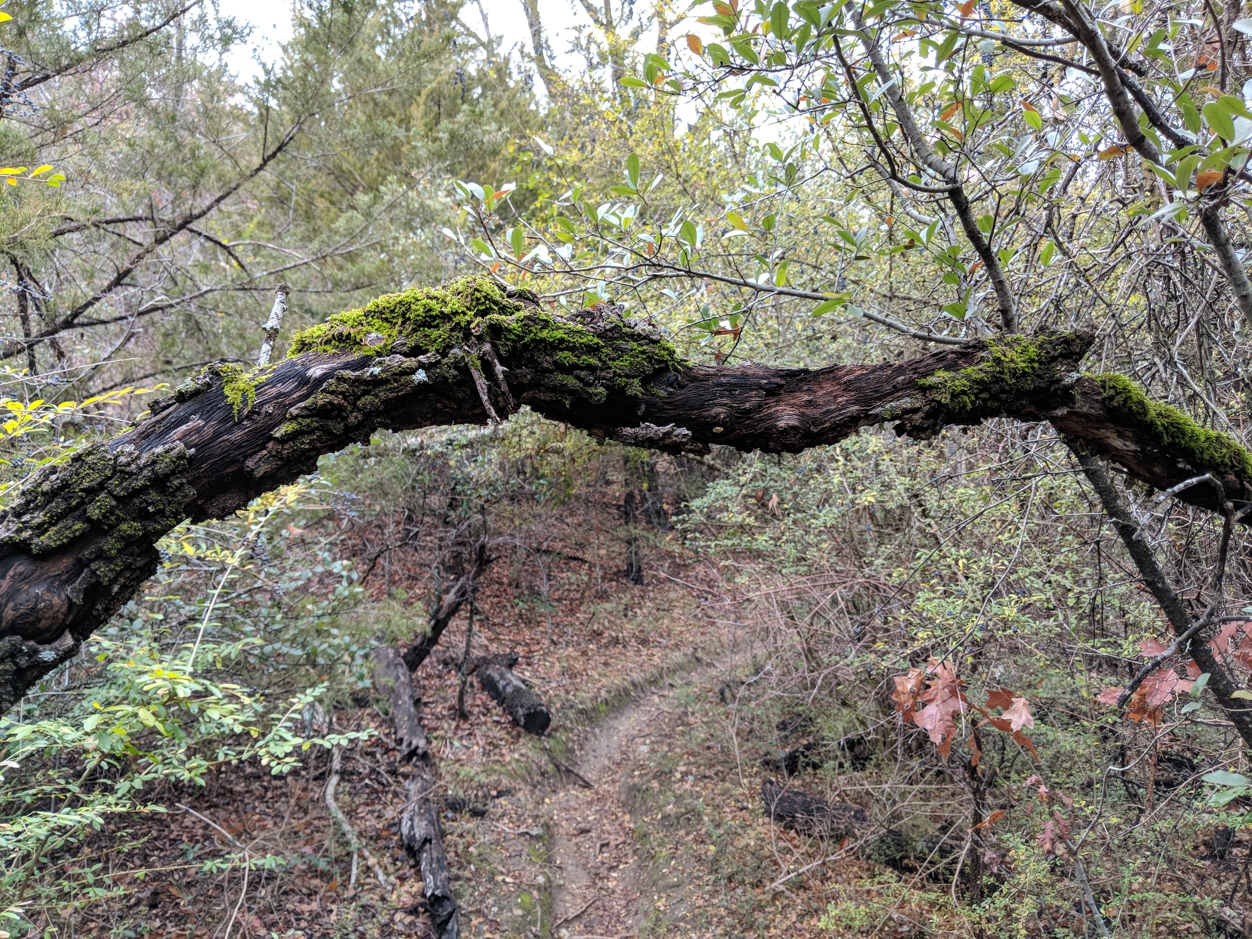
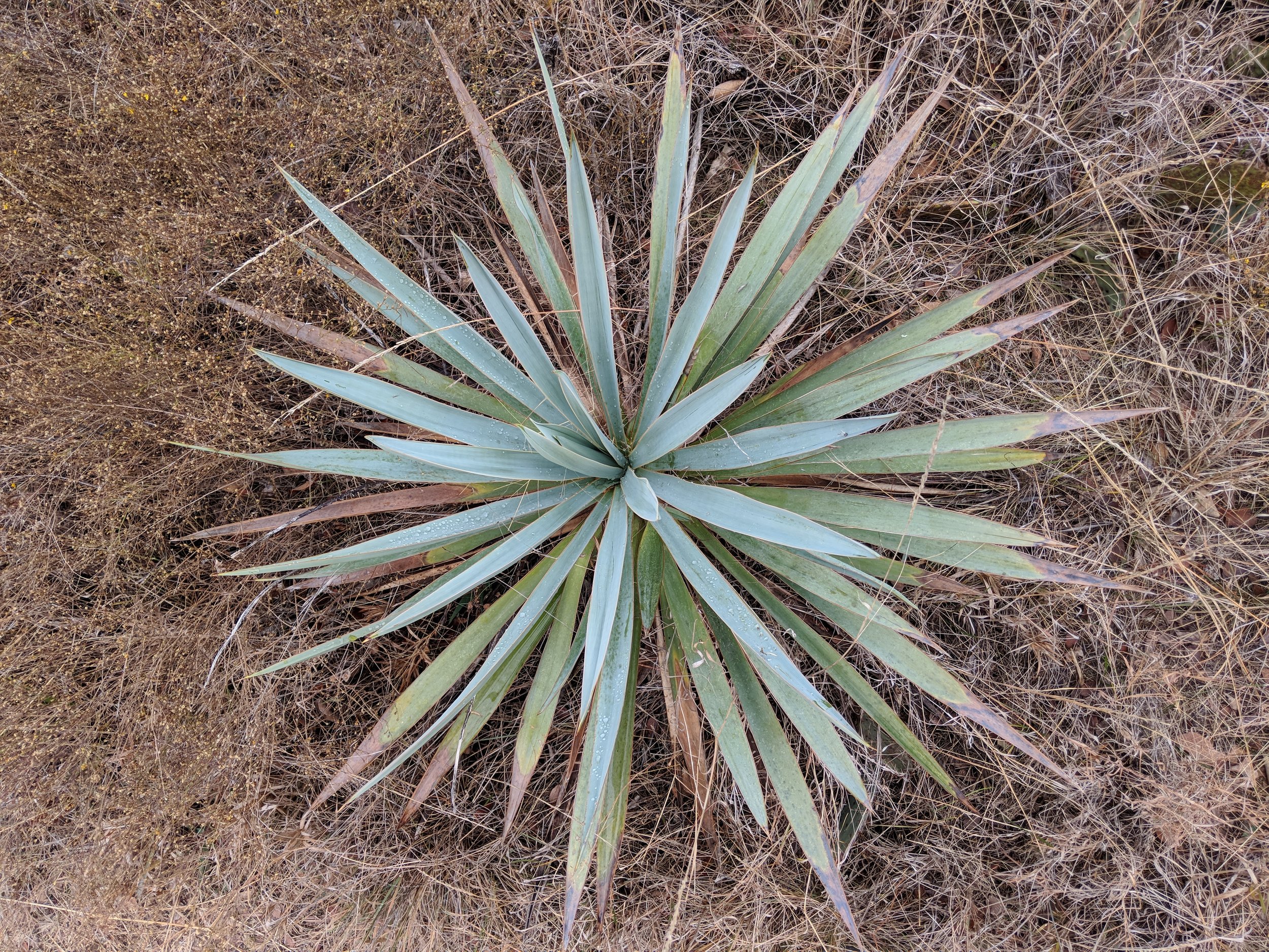
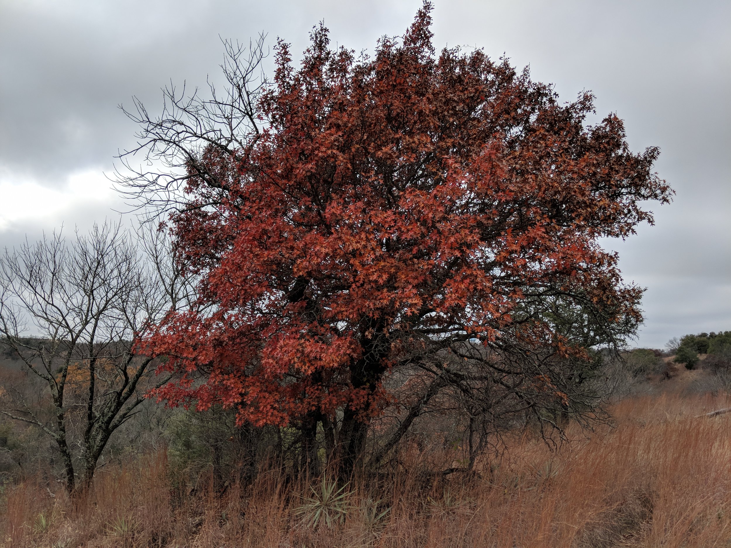
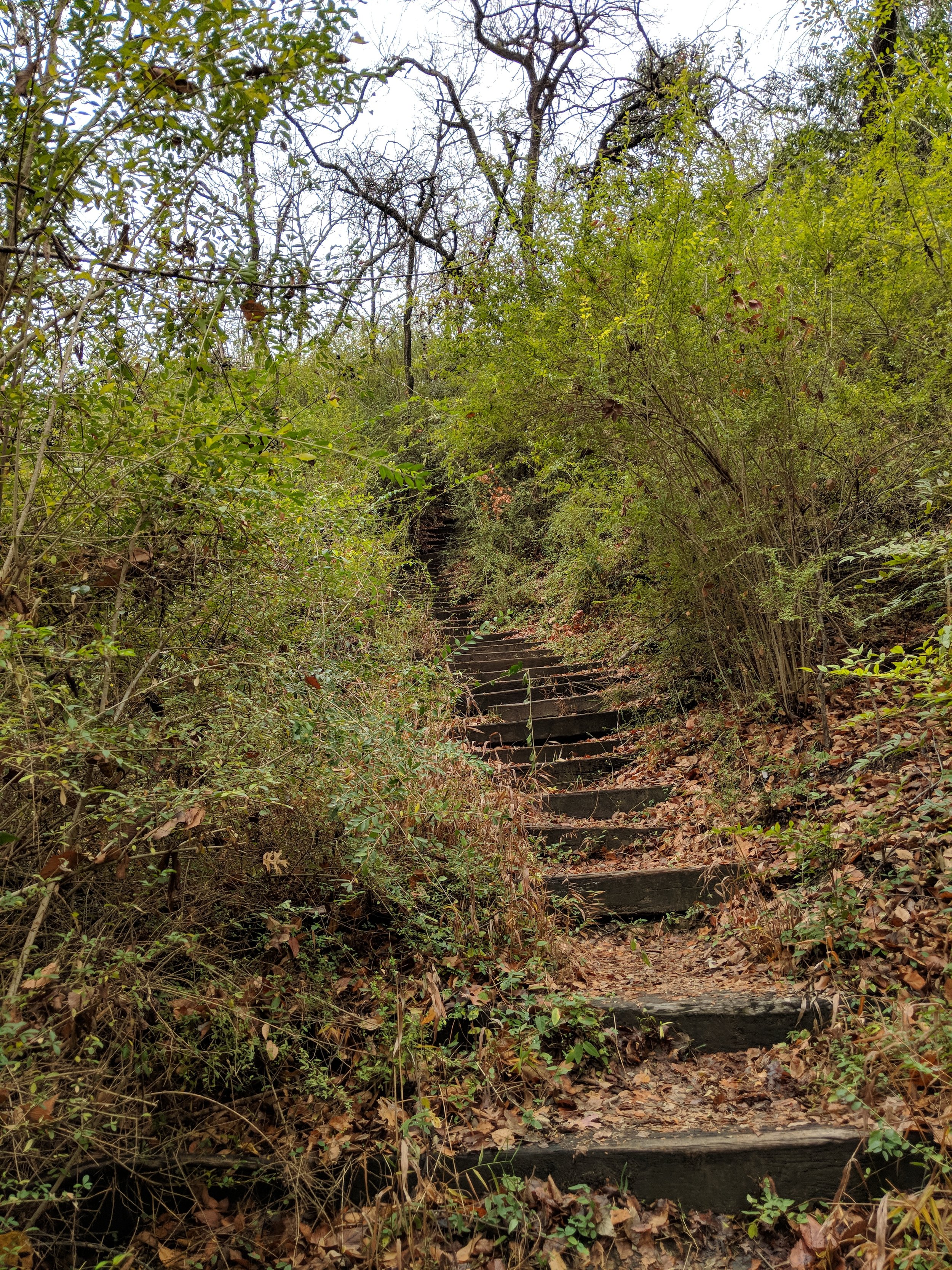
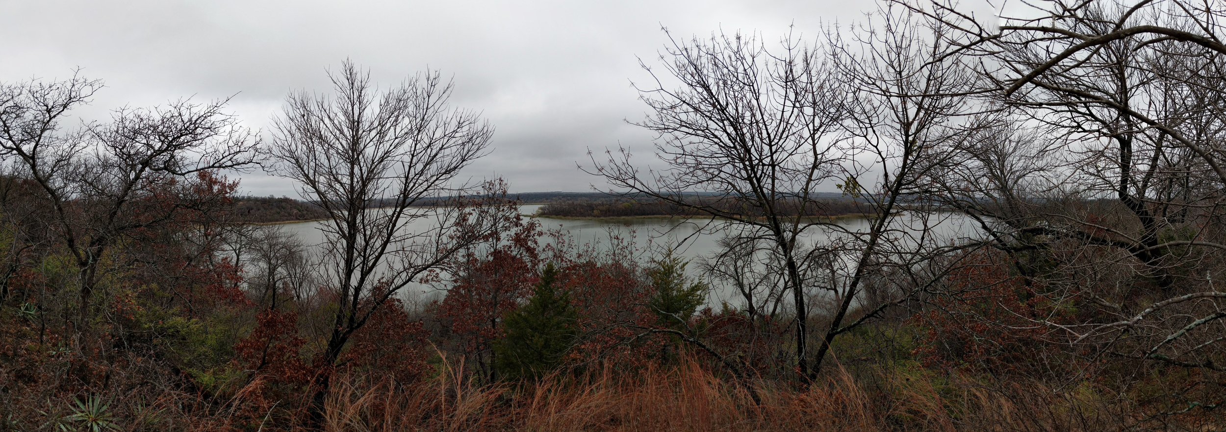
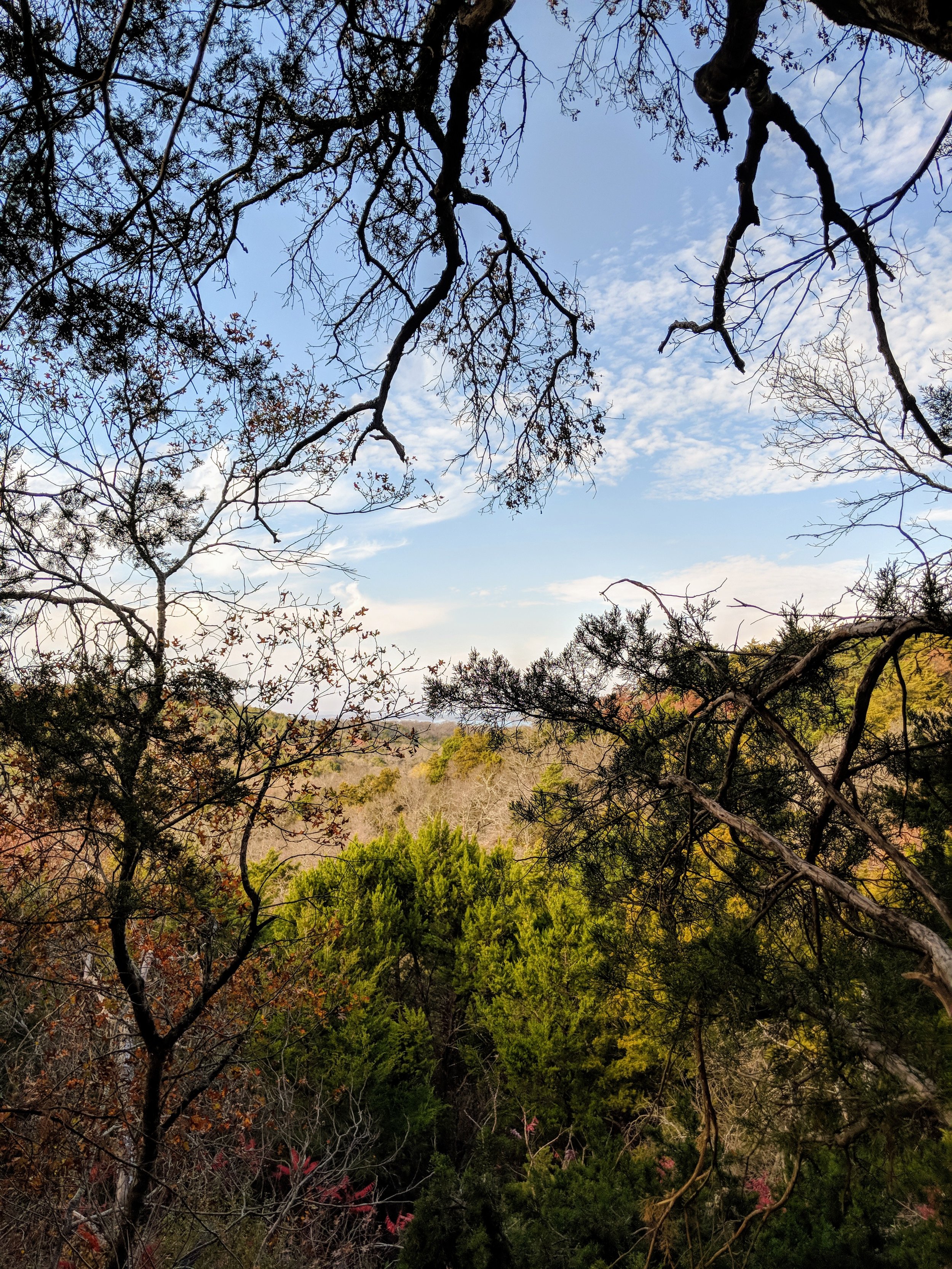
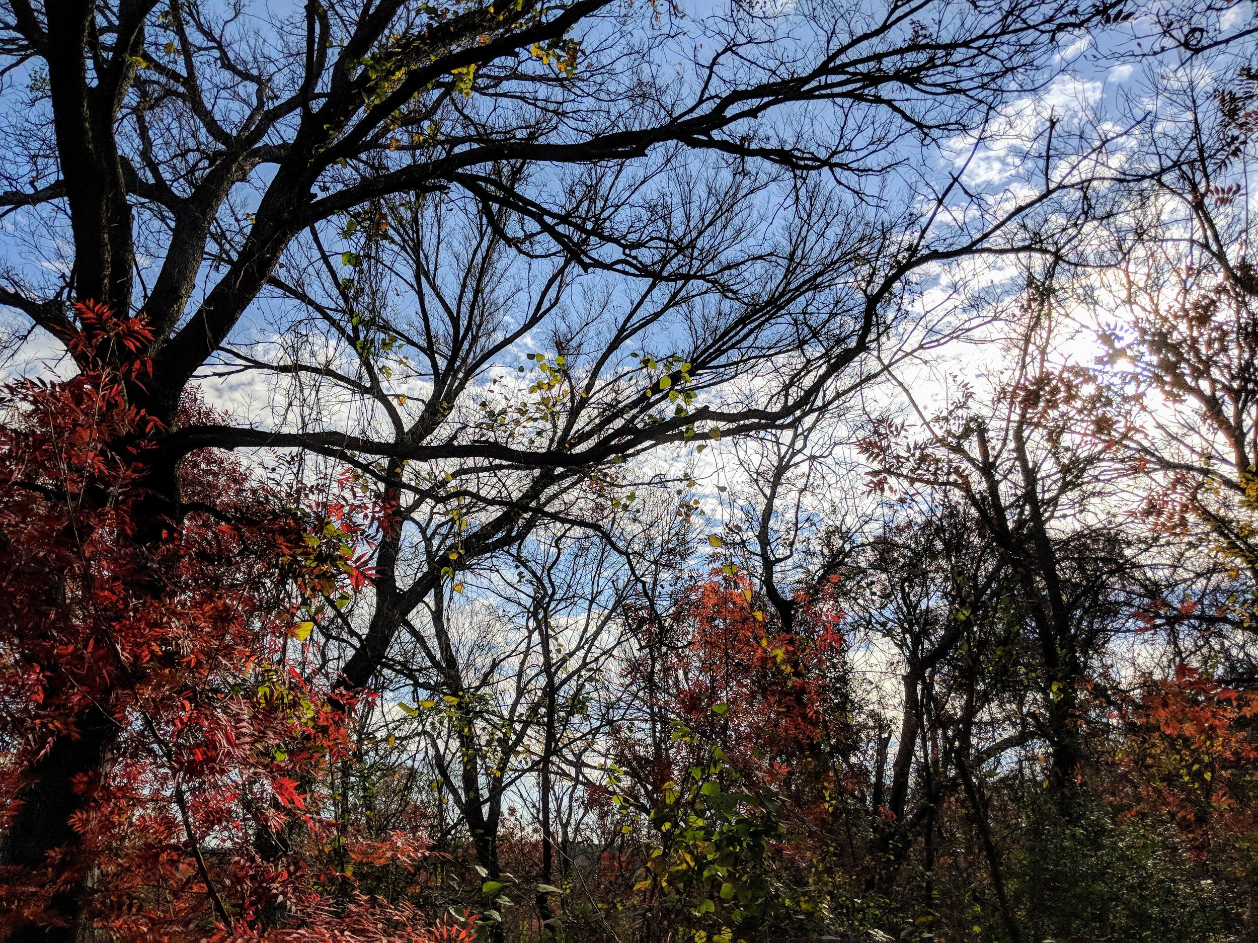
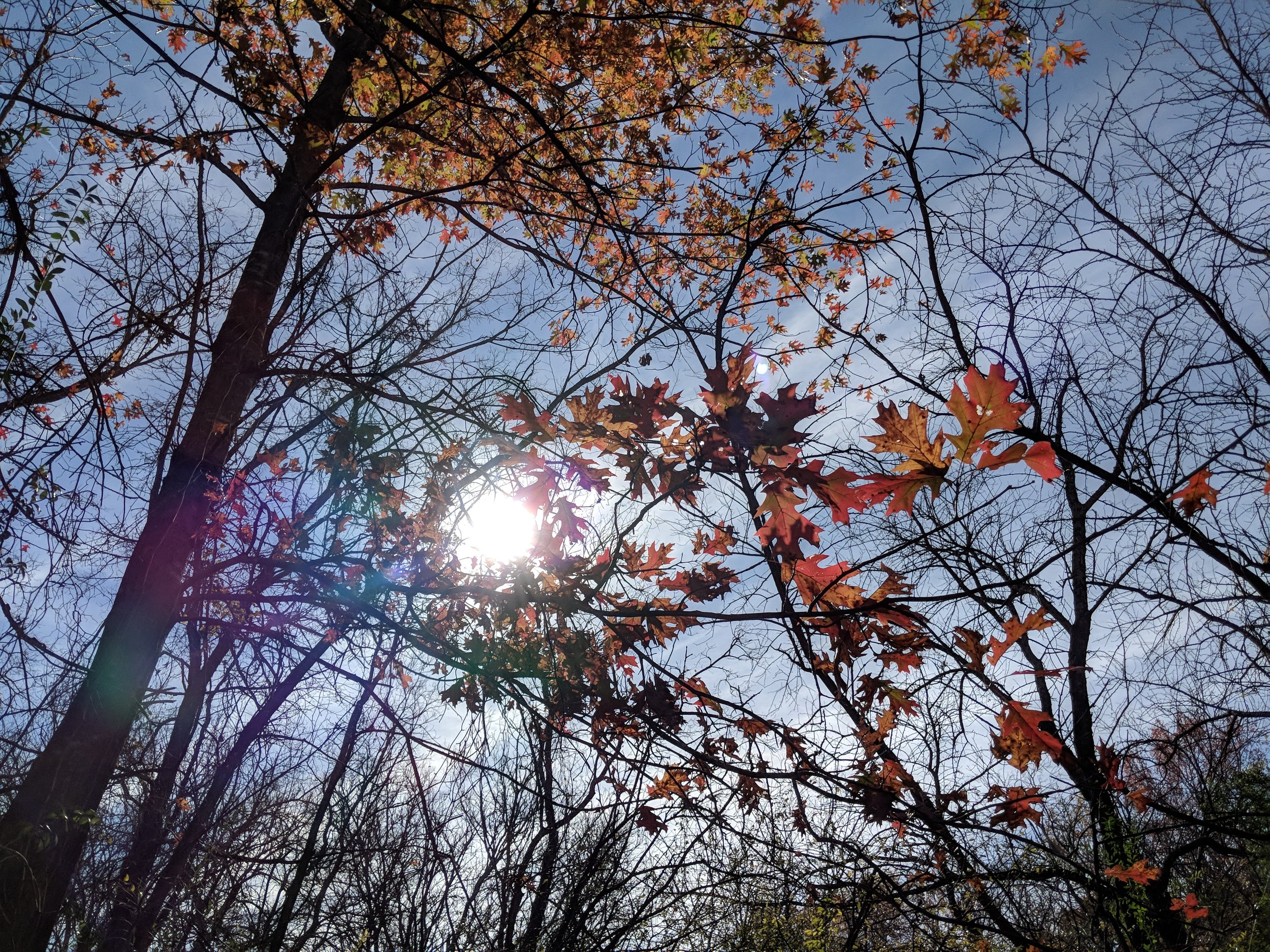
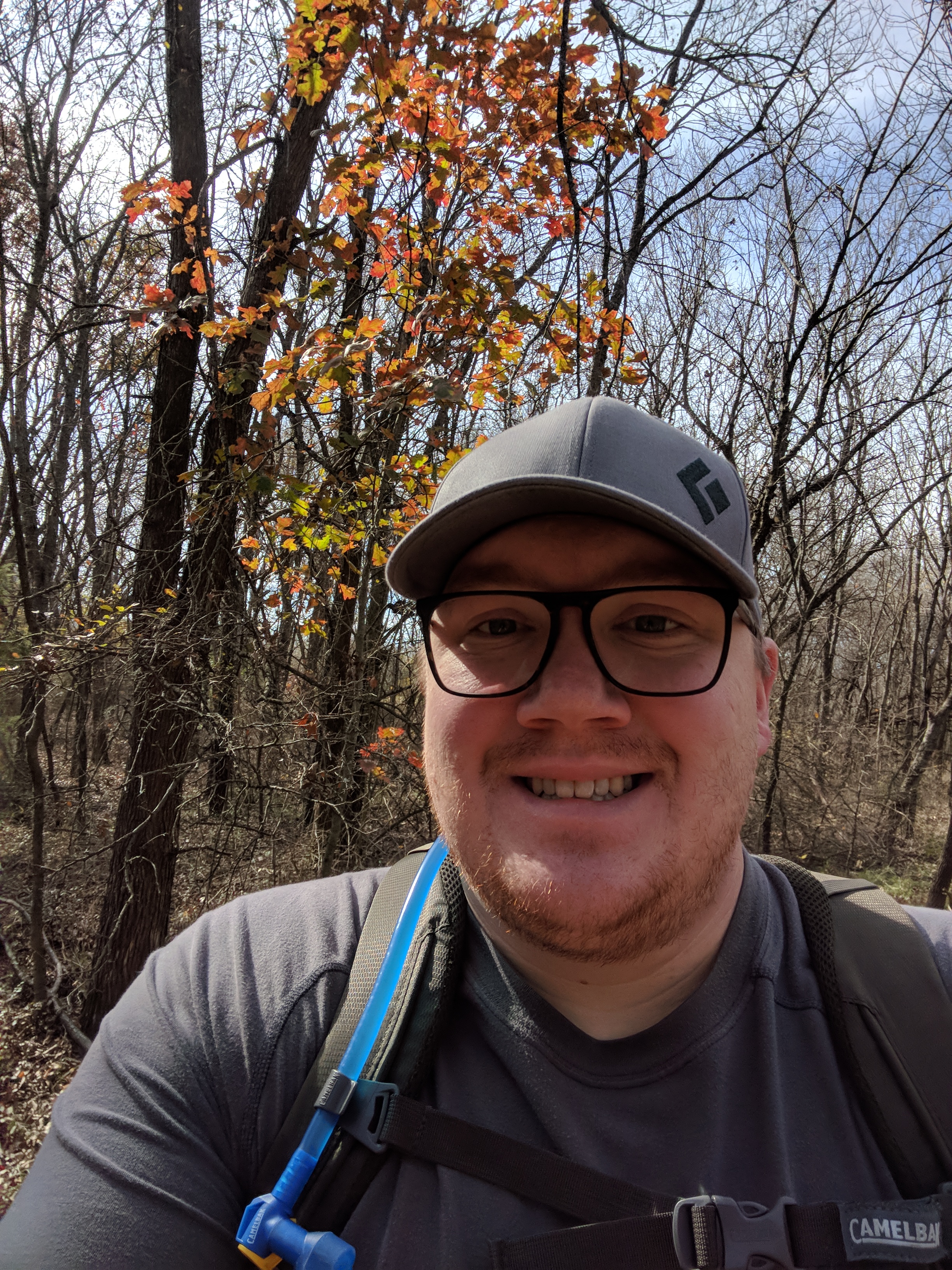
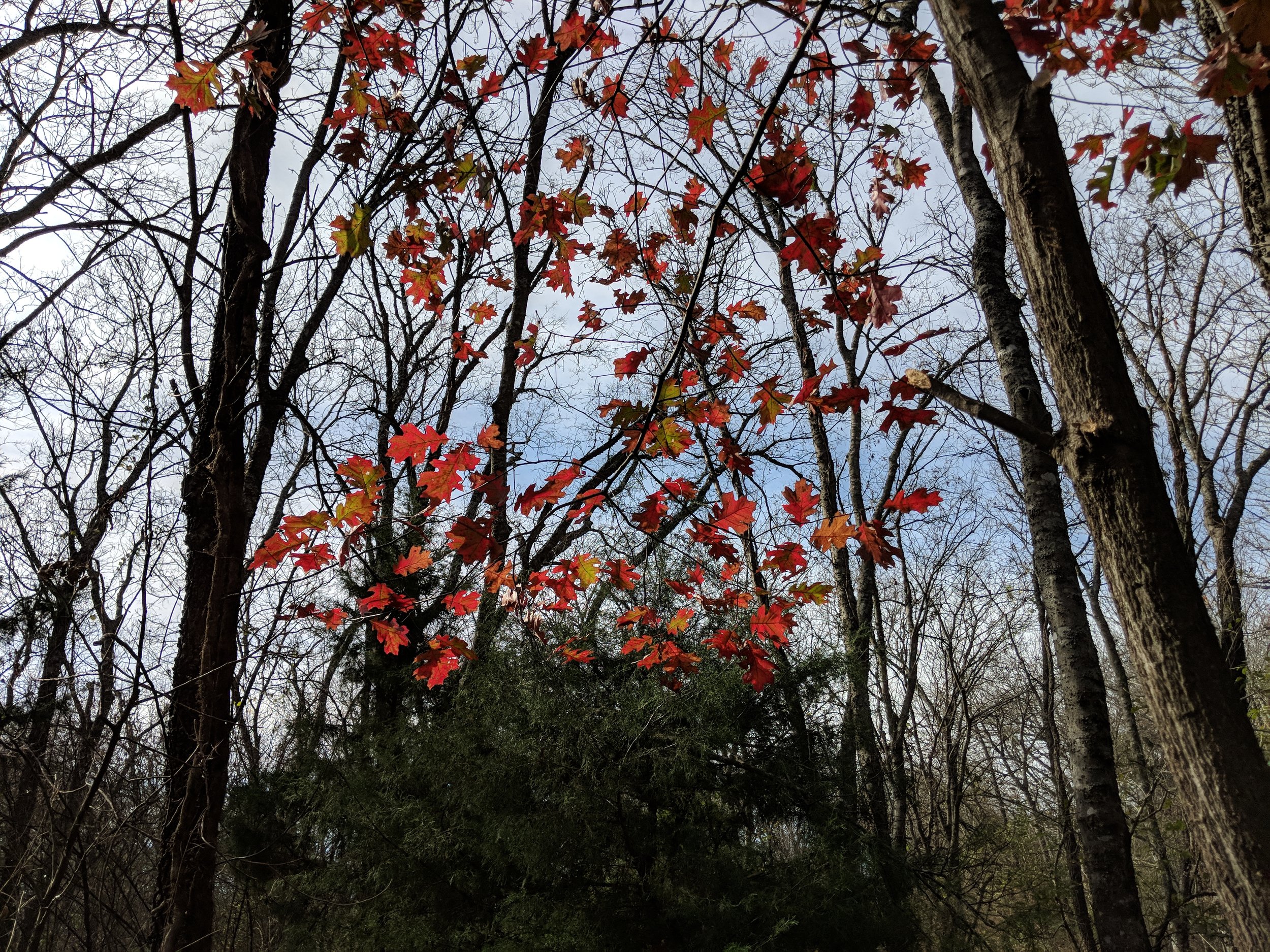
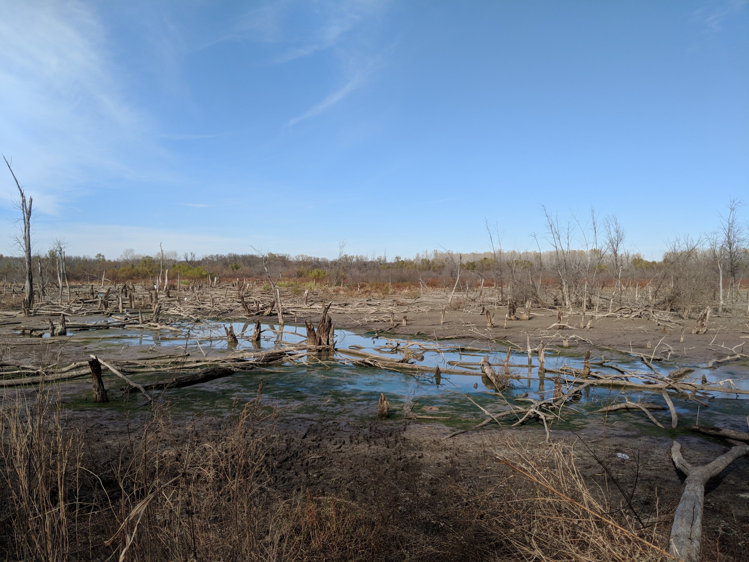
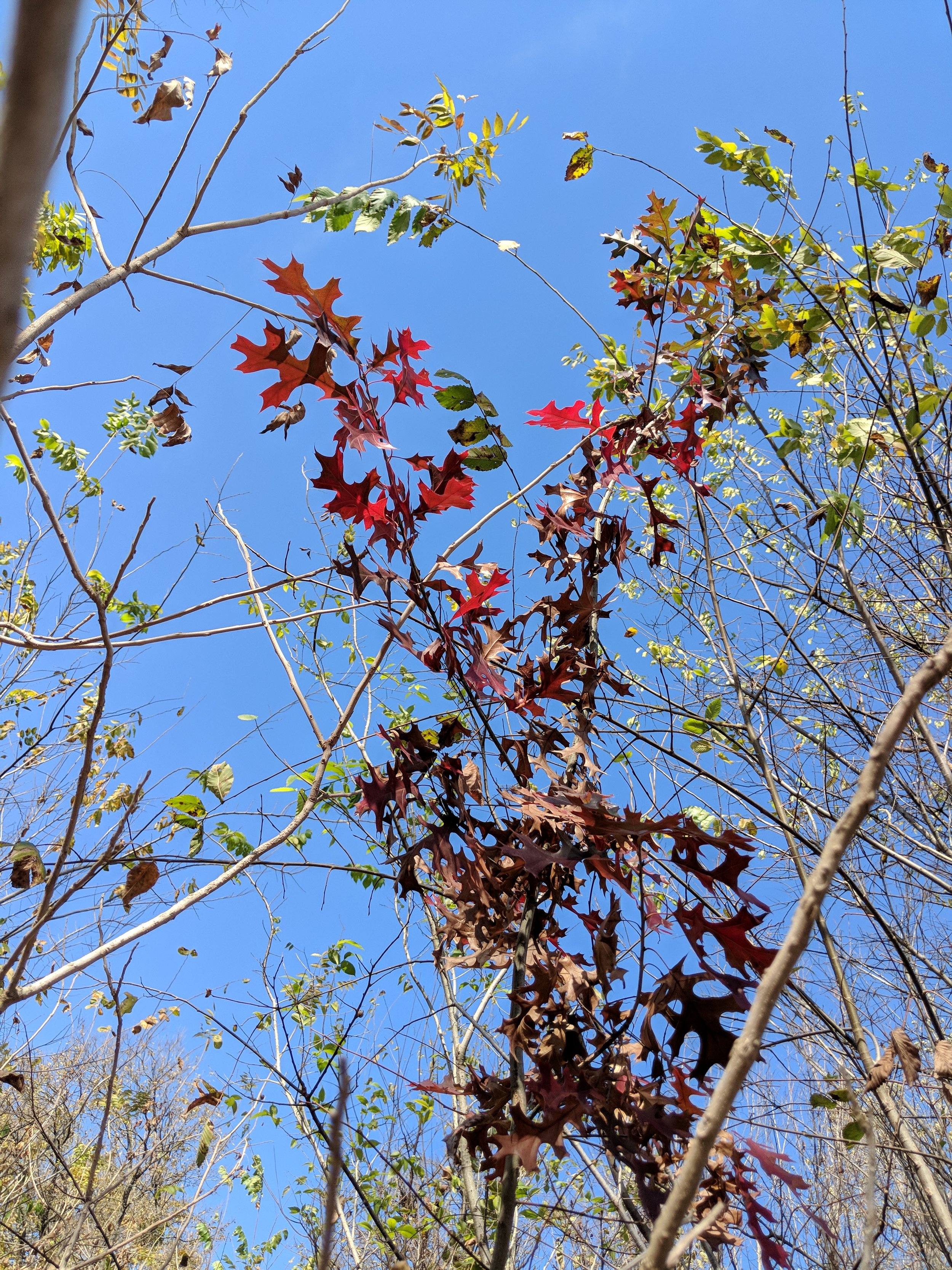
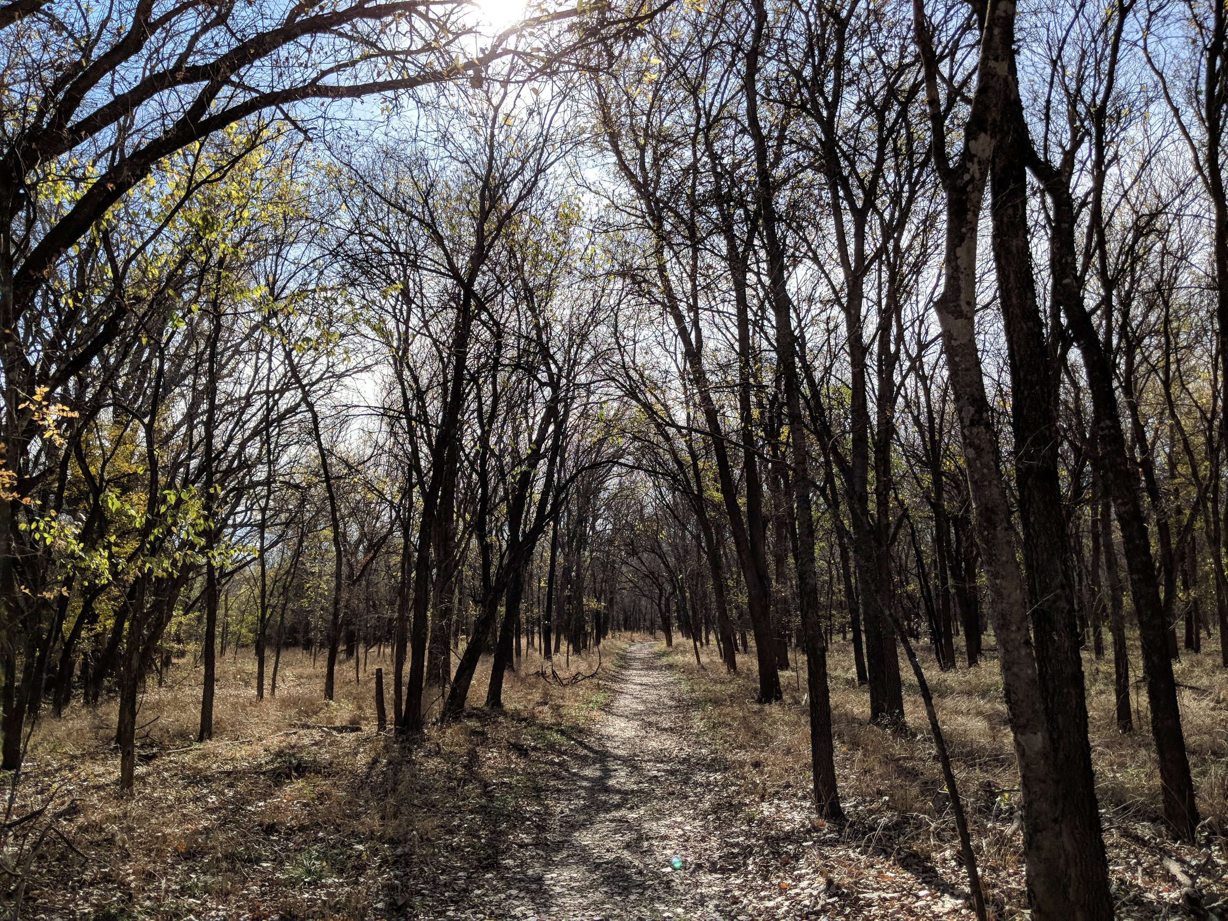
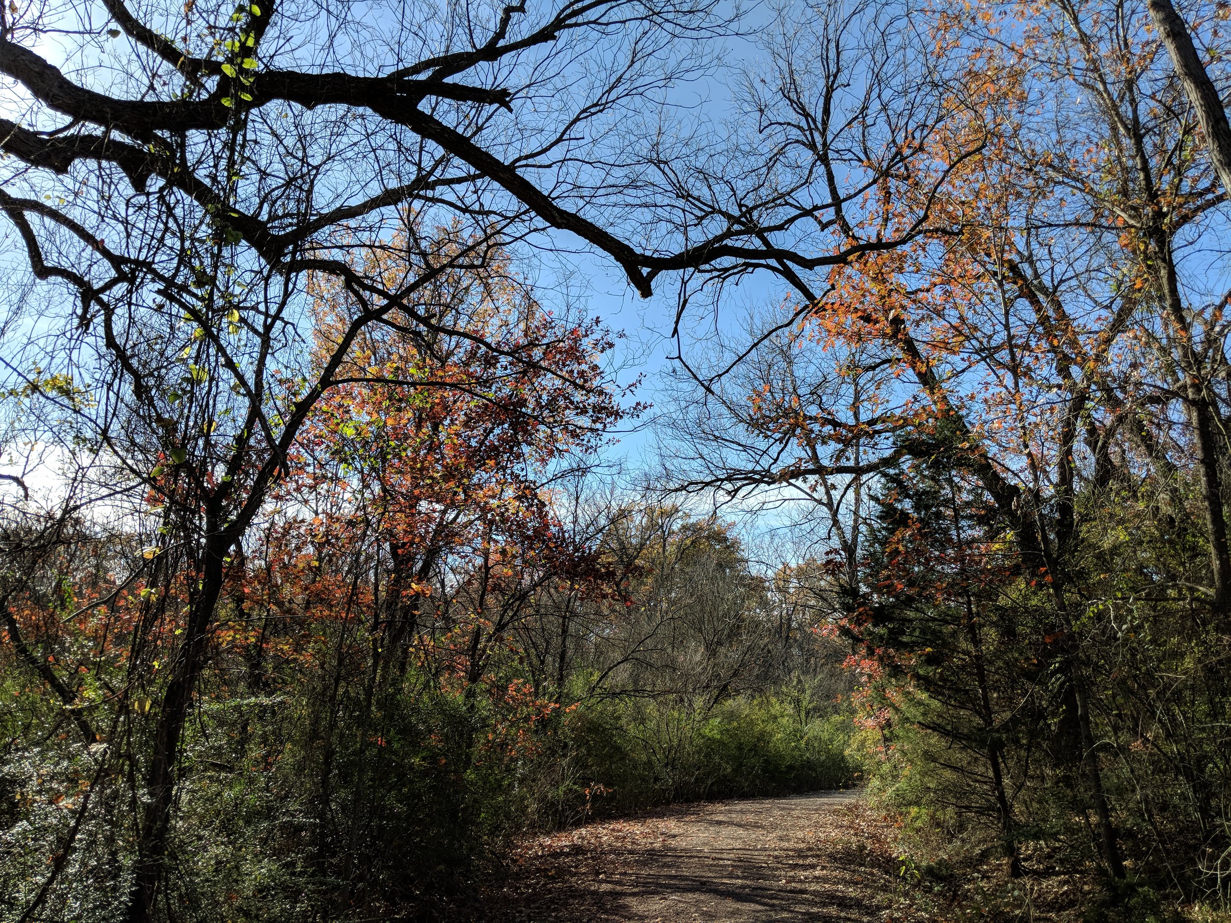
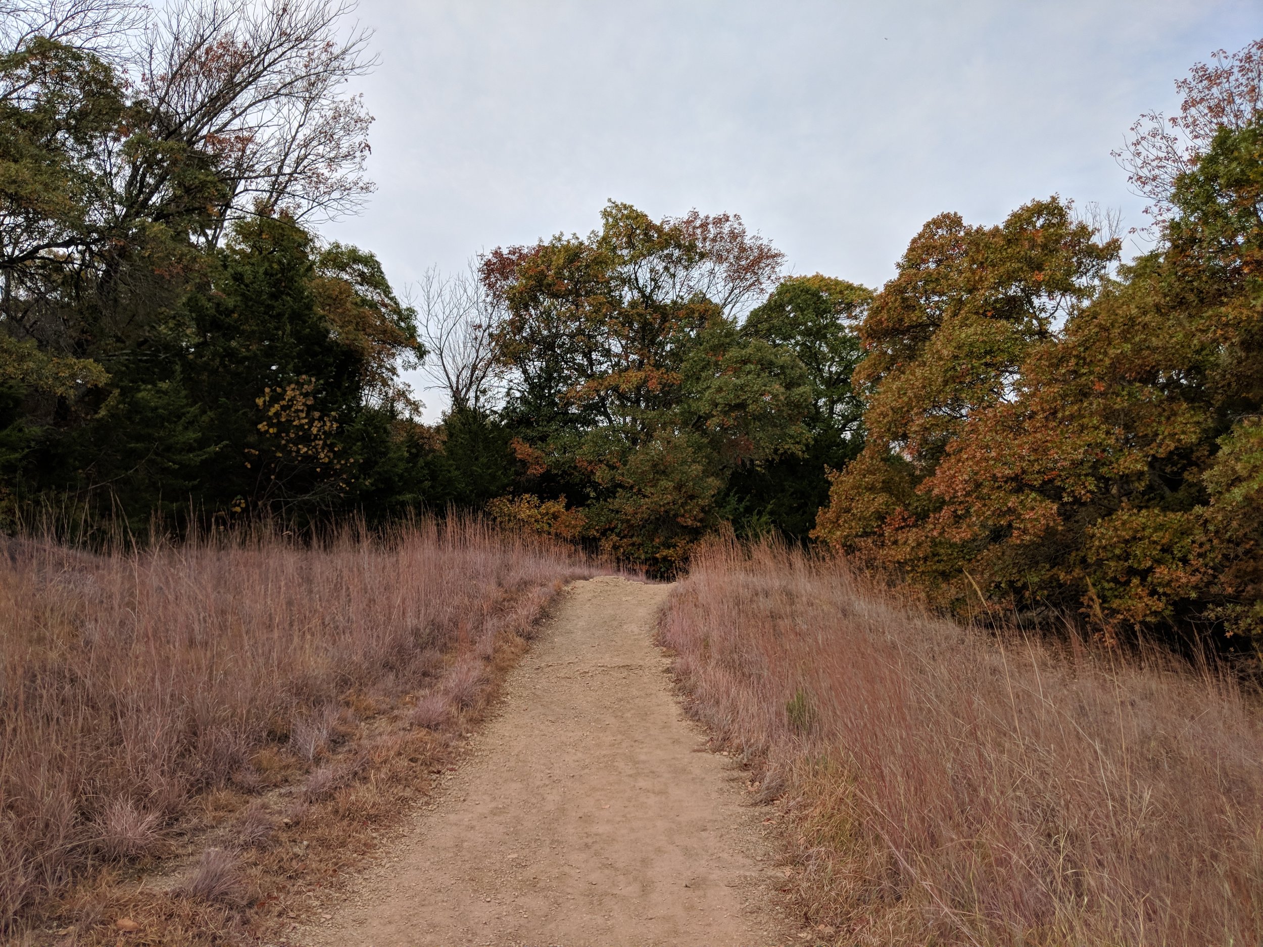
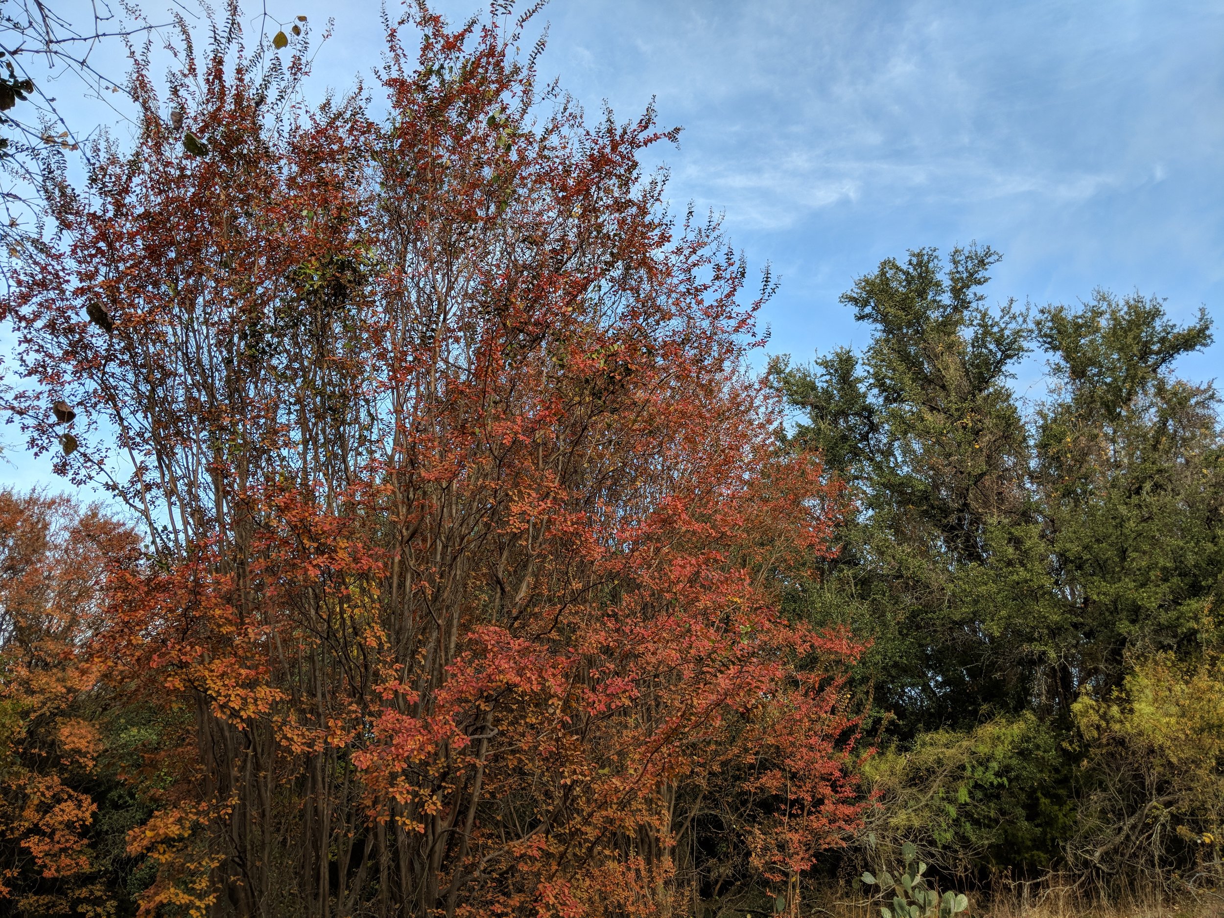
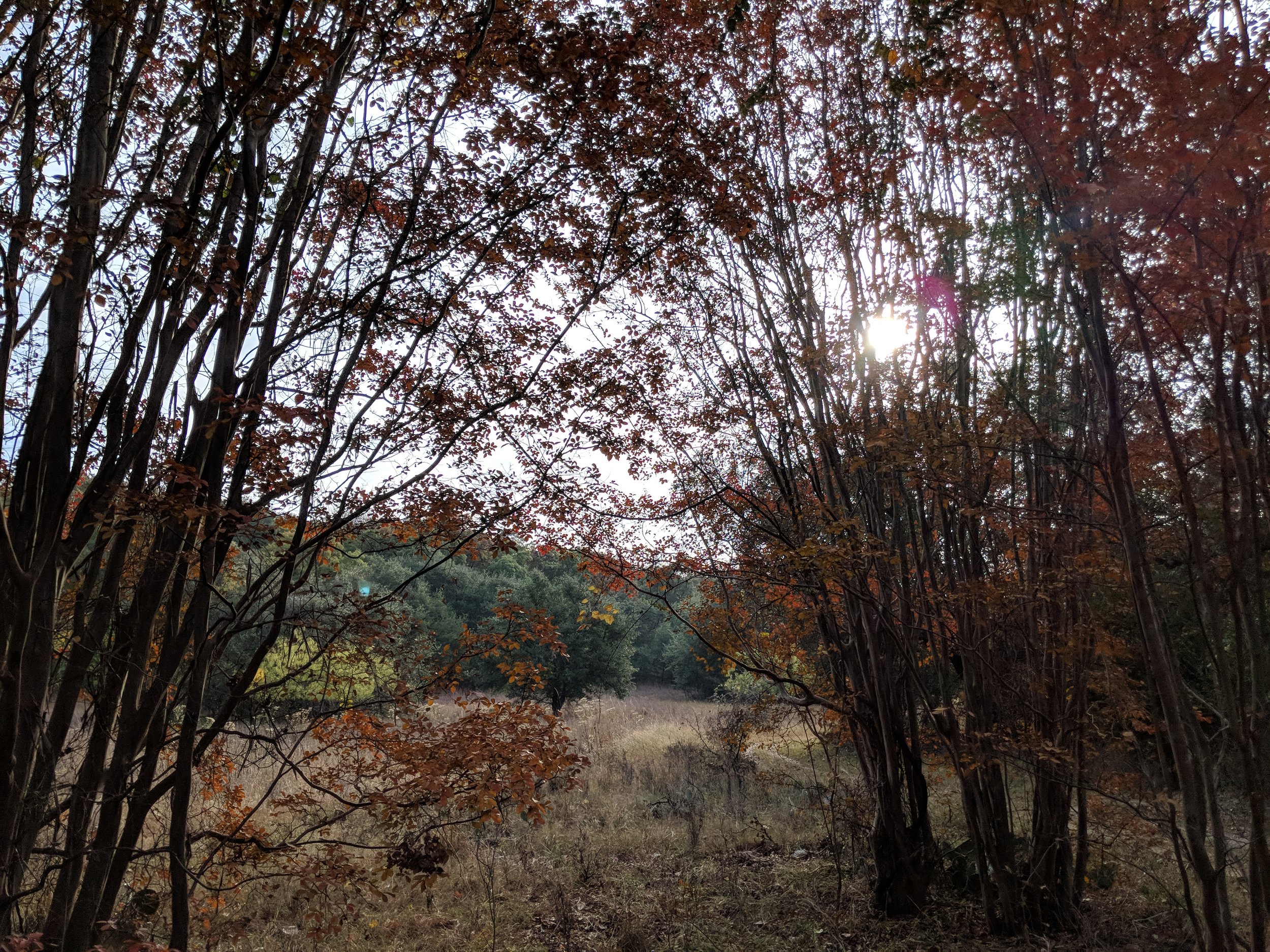
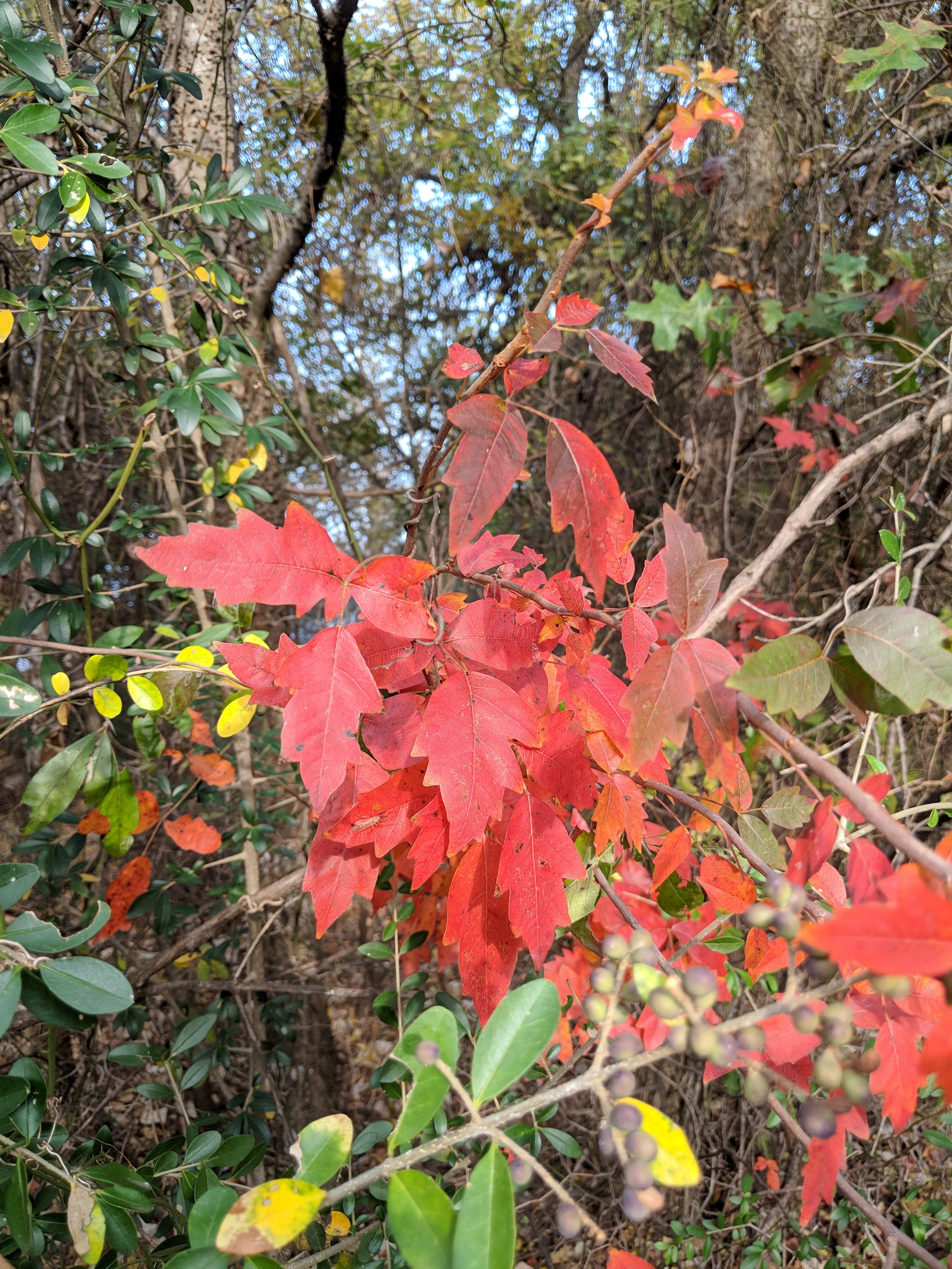
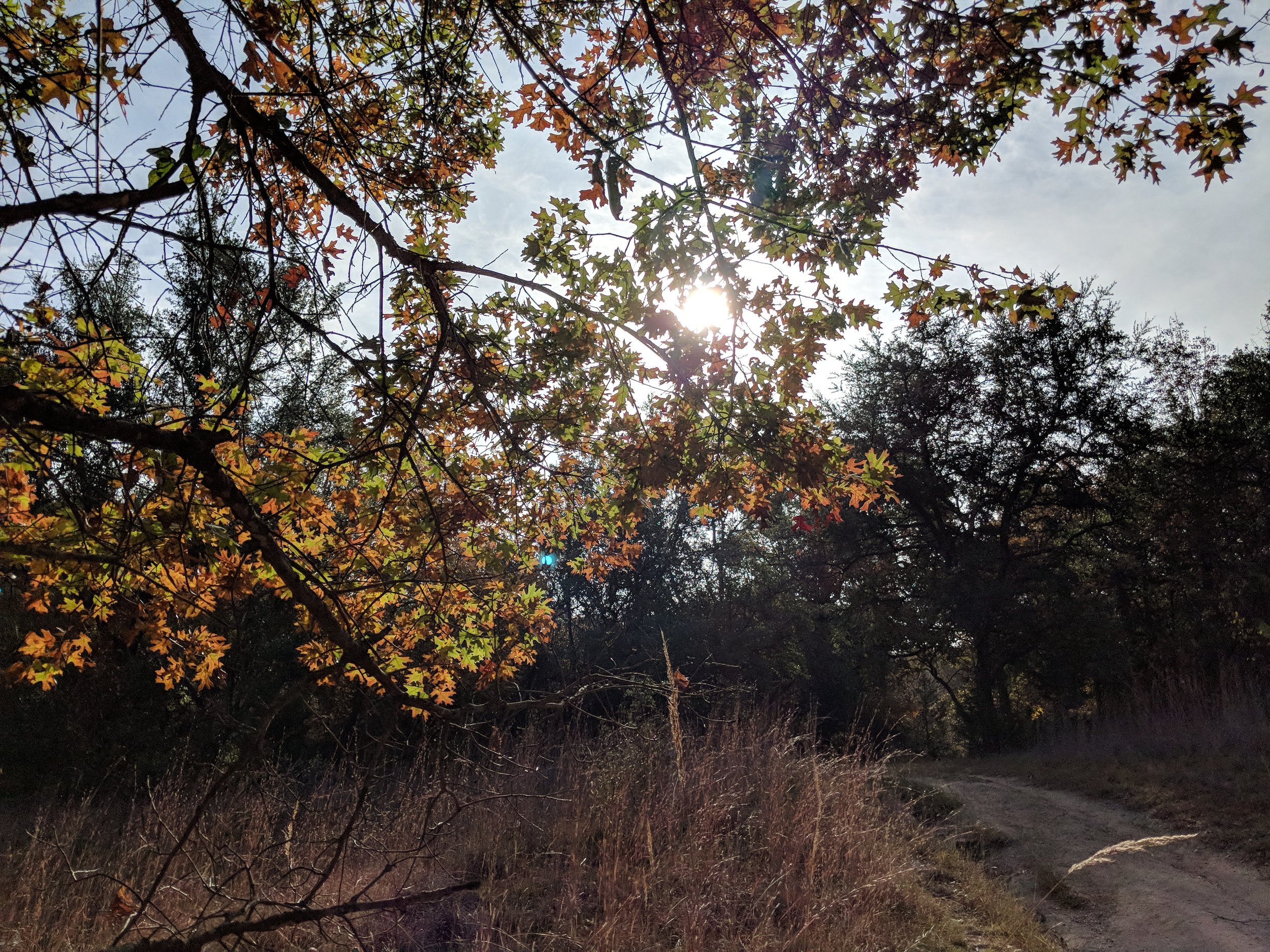
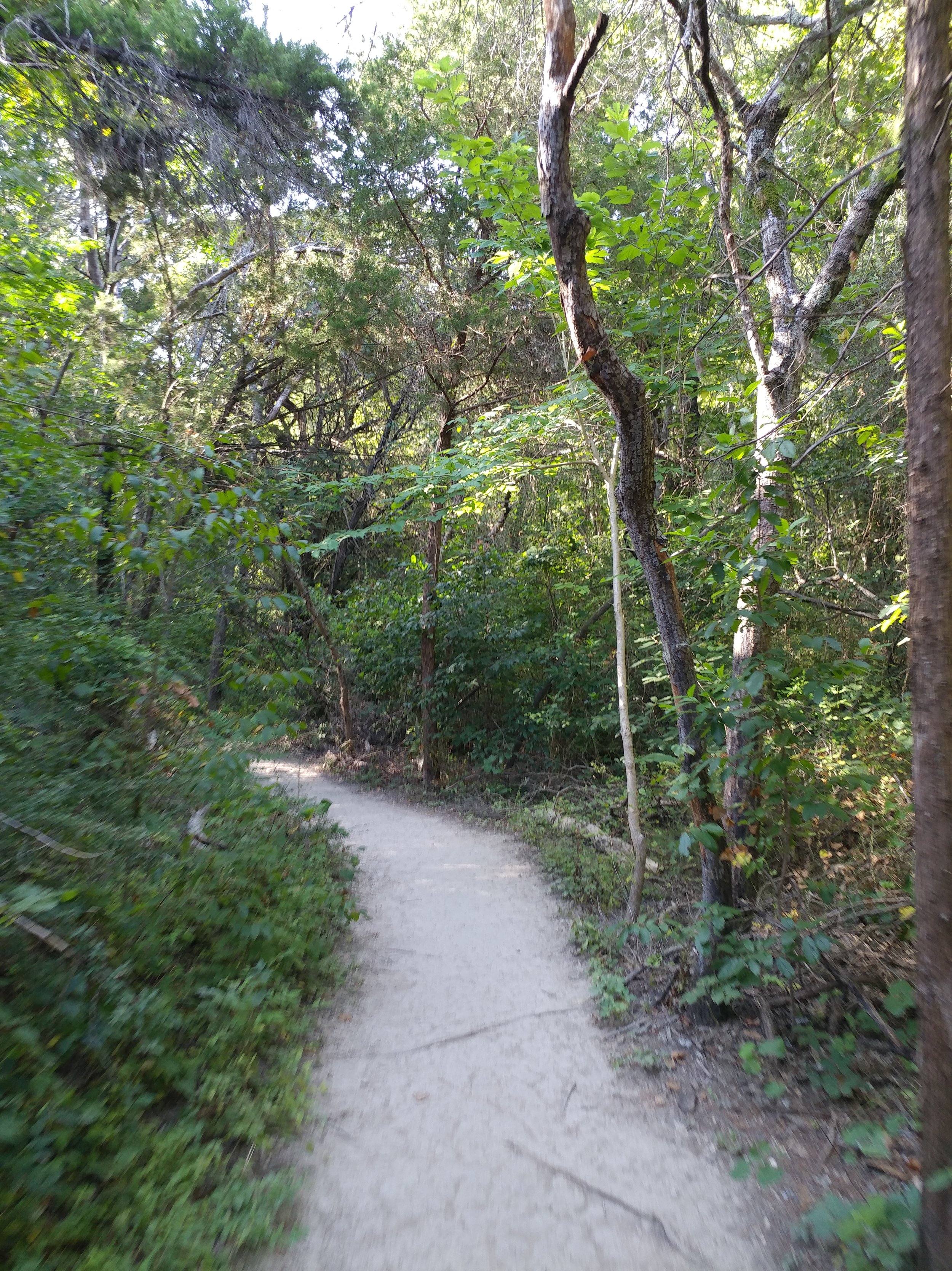
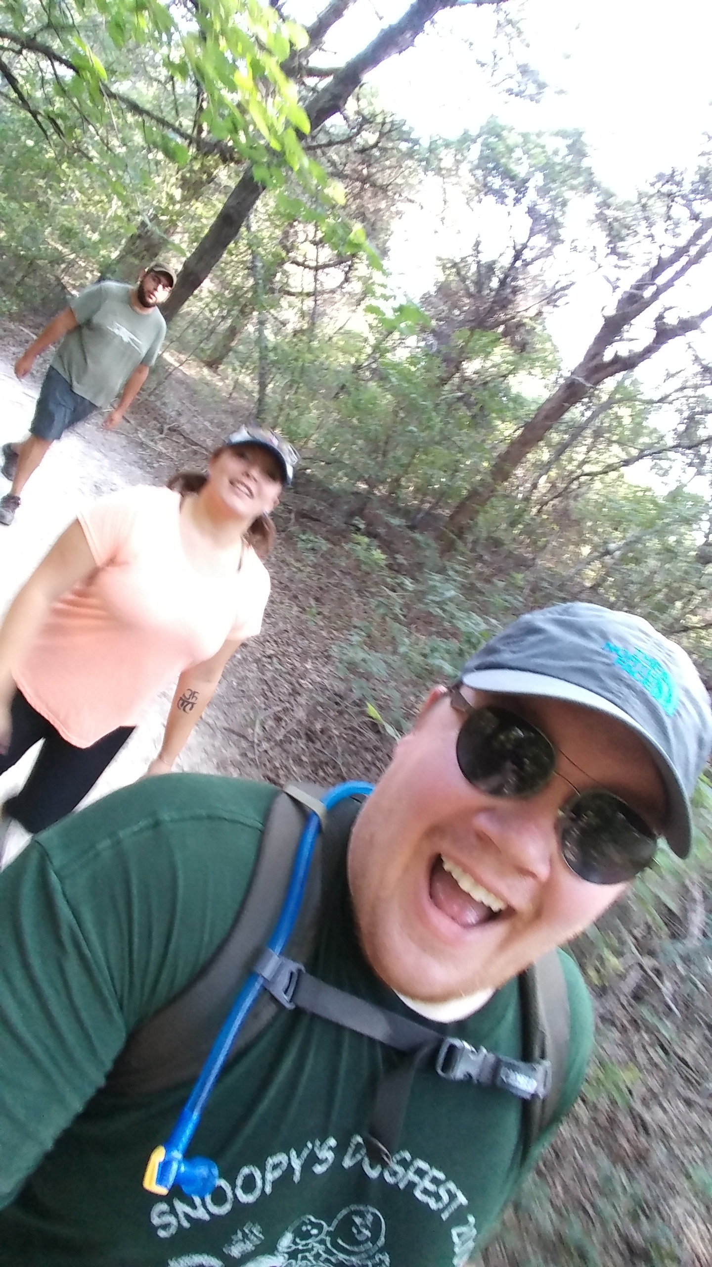
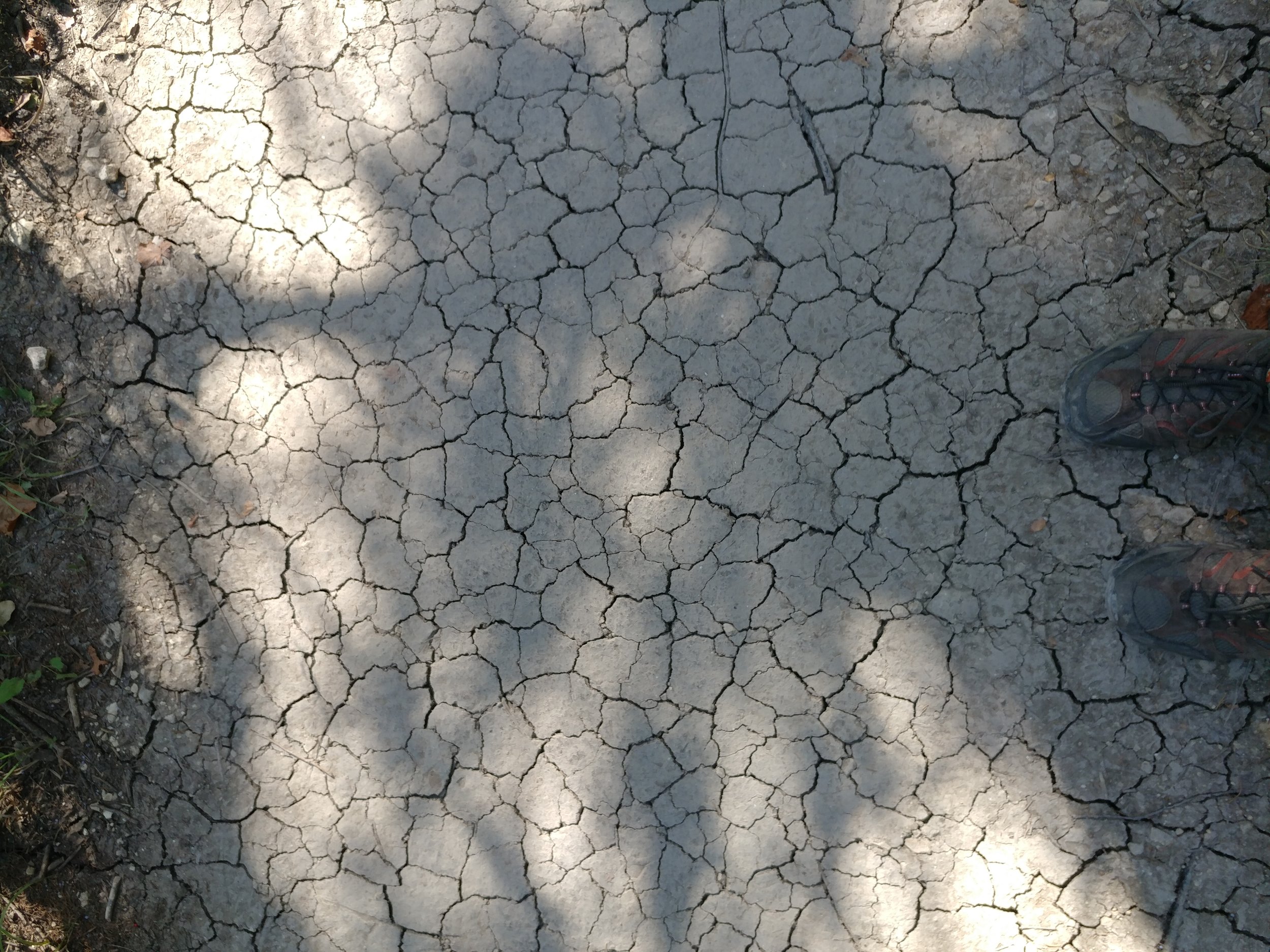
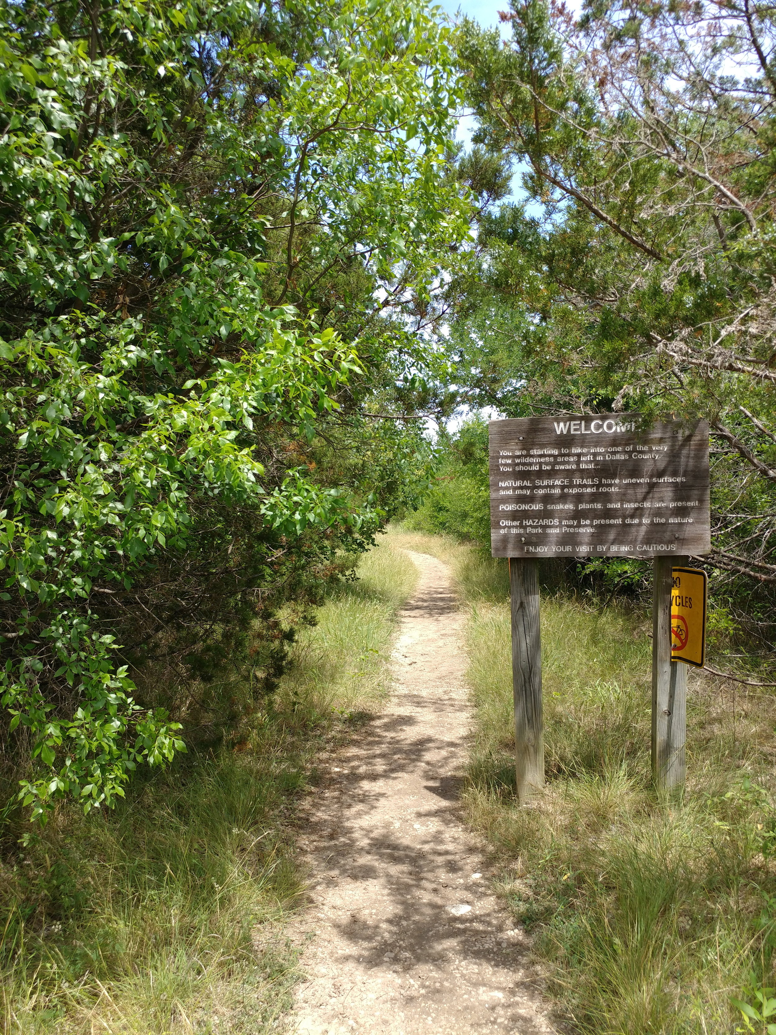
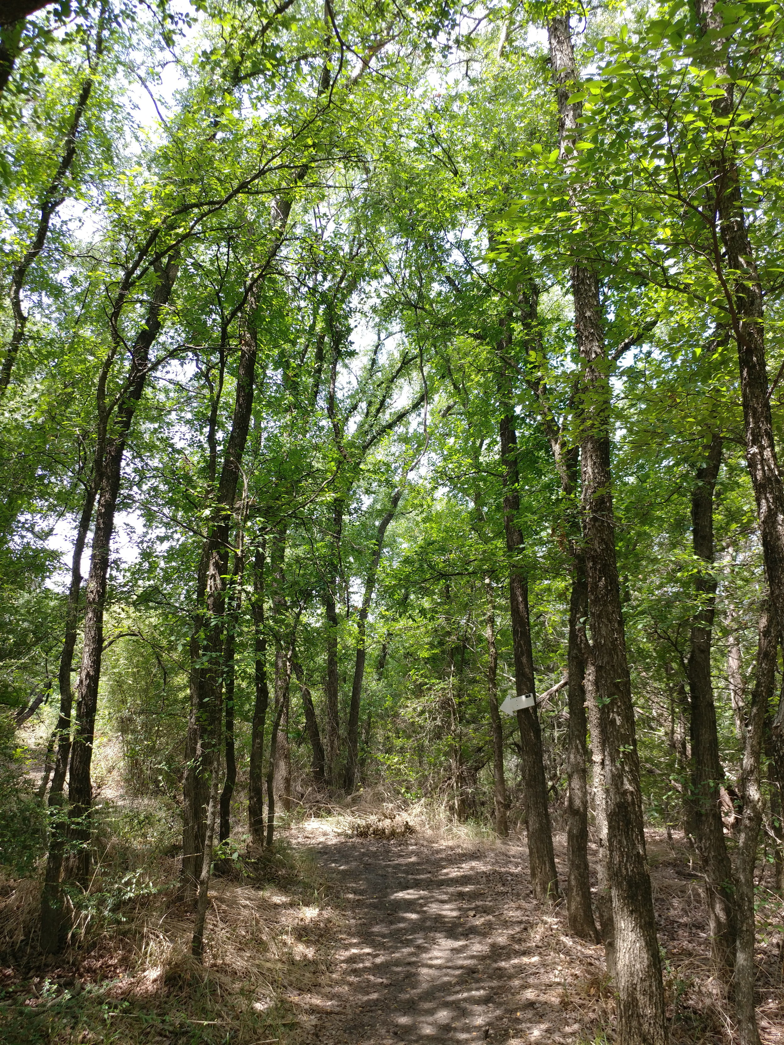
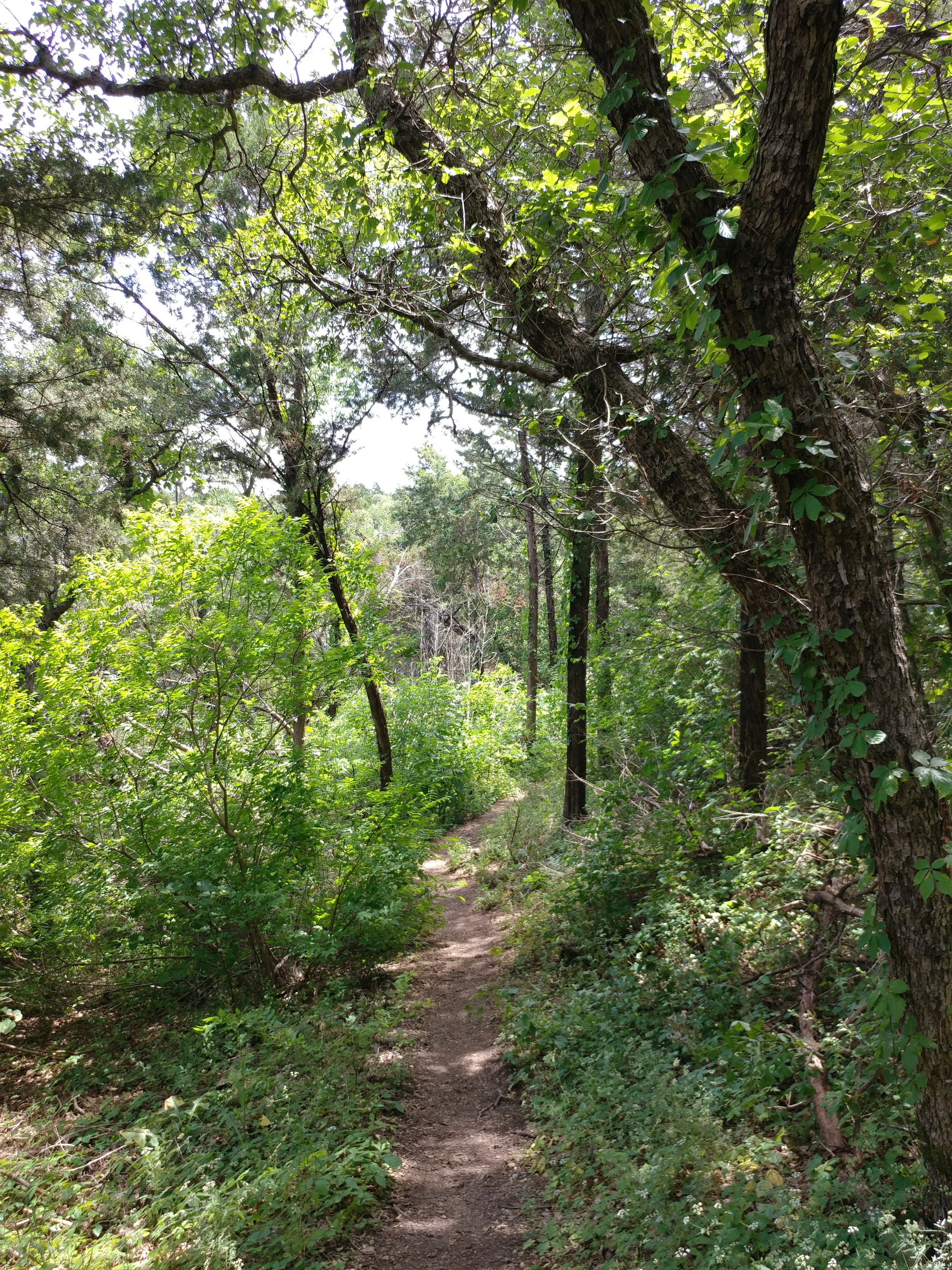
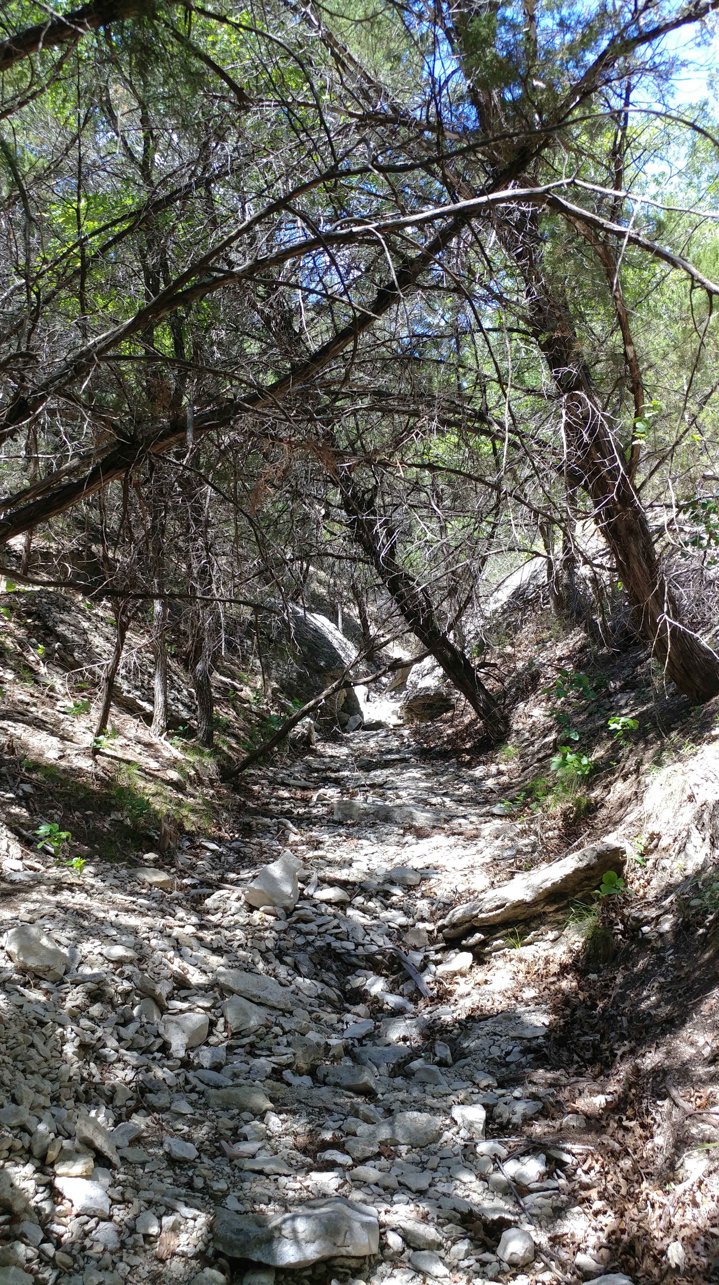
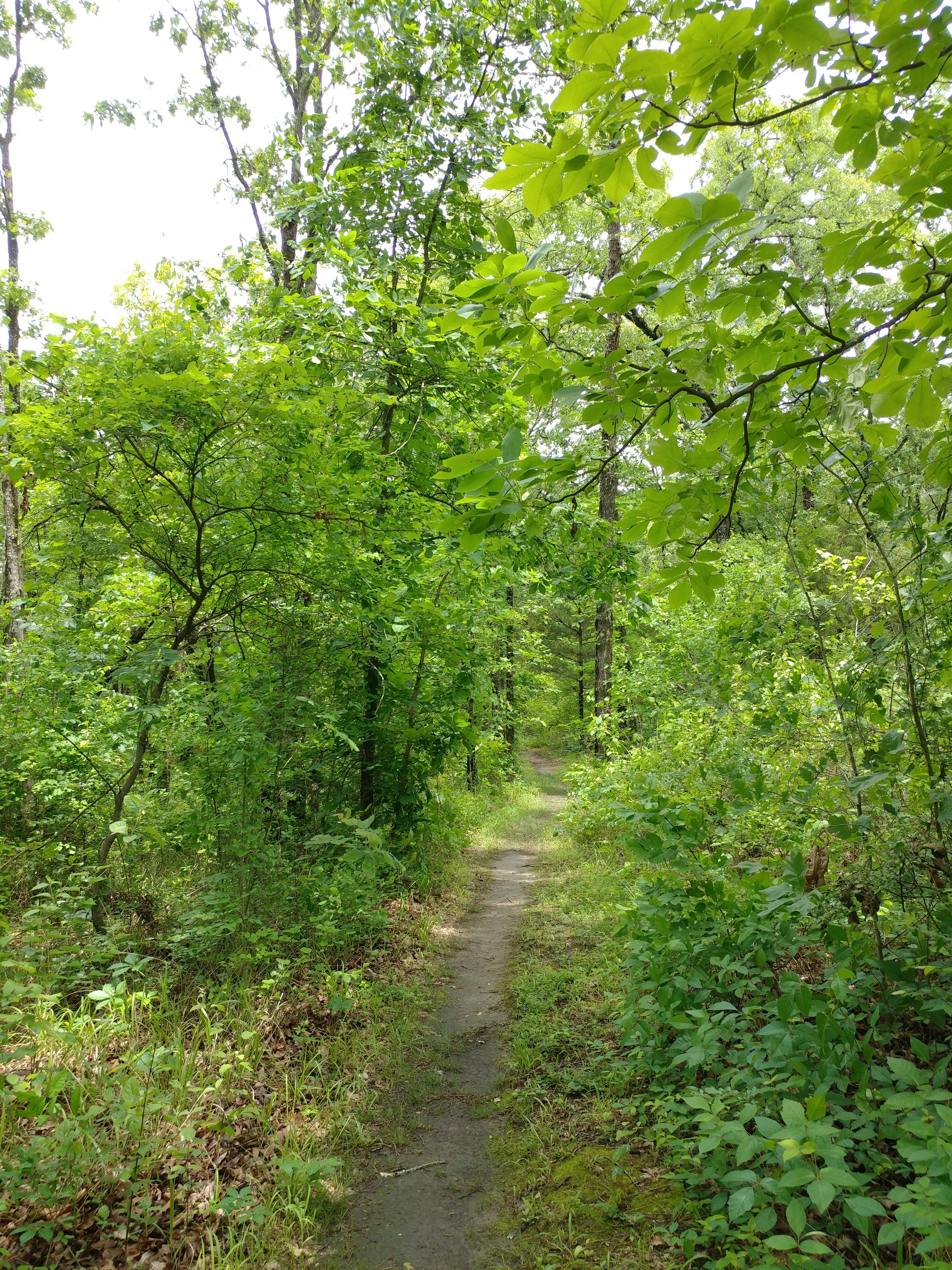
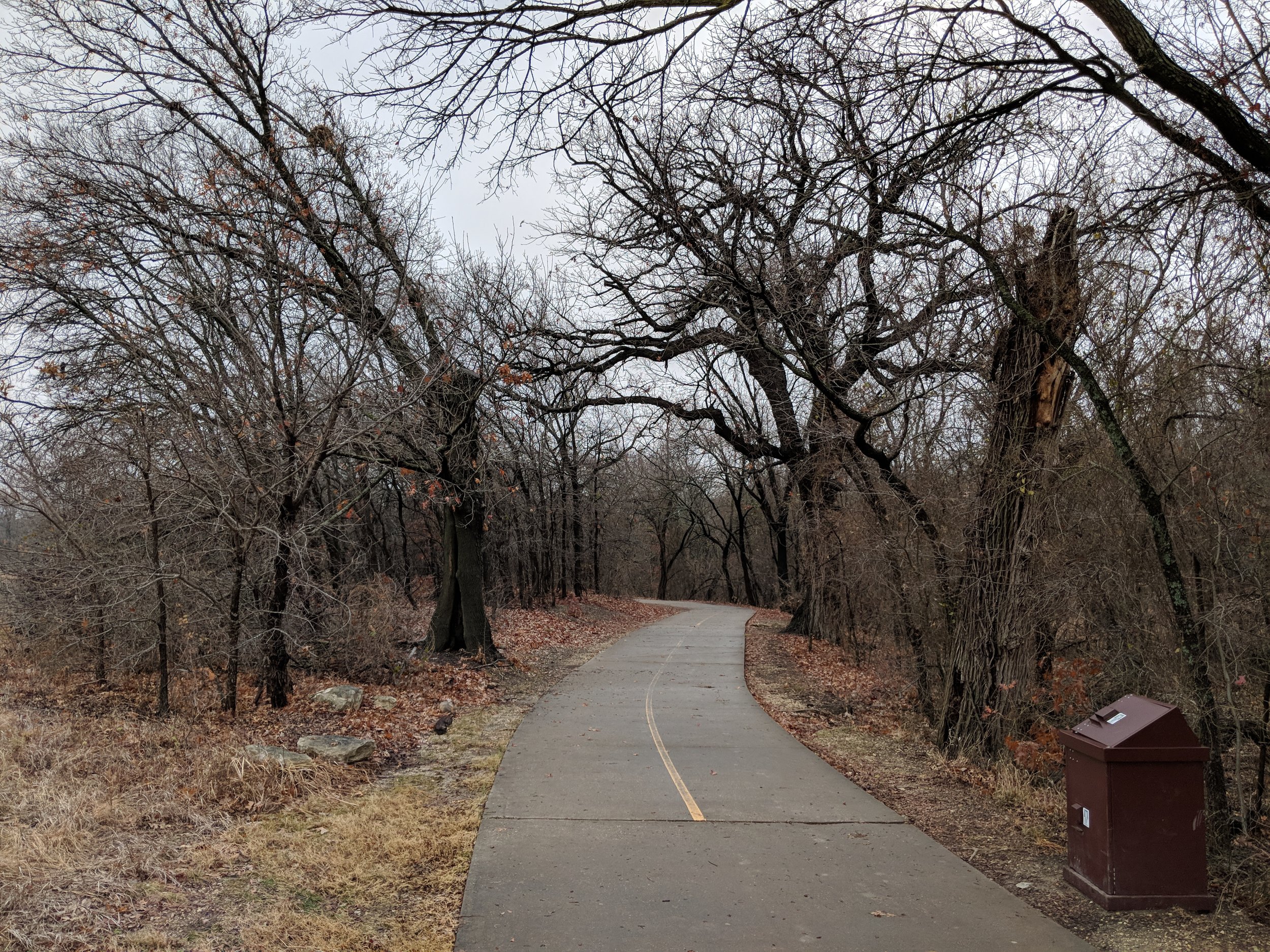
I'm recovering from the stomach flu and thought this would be a nice easy hike. It was, but I wasn't strong enough to go very far. The trails are a mix of paved paths and natural surface. Yesterday was an extremely wet day so all of the natural surface trails were muddy, a clay type mud that cakes on your shoes. I should have taken photos of my shoes, they were coated in with mud, leaves, and more mud. We didn't get very far, but it was nice to get outside and take in some fresh air.

#hike49 - Fort Worth Nature Center & Refuge
Location: Fort Worth Nature Center & Refuge Date: 12/17/17
Distance: 7.6
Trails: Canyon Ridge & part of Greer Island
Today, in one word, was FANTASTIC. I set out to do two hikes today, but it didn't happen and I've never been more okay with it. I set out at the FWNC&R not knowing what to expect, and what I got was fantastic. Yesterday was a day of rain, into the night, and today was the recovery. The air was a bit heavy, in a good way, and the temps were below 50. The smells of this trail were loamy, earthy, and quintessential fall/winter. I was transported today, to somewhere else. Parts of this trail felt like Michigan or Oregon, while others were very much Texas. I was just so pleased. I encountered only 4 people on my out, and 9 on my way back. Today was cool, full of good smells, and scenic.
#hike47 - Cedar Ridge Preserve
Location: Cedar Ridge Preserve Date: 12/3/17
Distance: 2.4 miles
I've been having a real internal struggle with getting out to the trail lately and I don't like it one bit. Aside from moderately busy weekends, household chores, and shorter days, I am so anxious about going hiking and it's all-consuming on weekend mornings when I have the time to go. But, thanks to Chewy the Dog, I got my self together and we went to the ole standby for some nature time. It was busy, so busy, and it was overwhelming at first but leveled off. There were a lot of dogs, a lot of people, and a lot of trail runners.
I was going to do the Fossil Valley Trail with a mix of others, but in my desperation to get out of the way of the trail running folks, I turned without looking where I was turning and went down the Cedar Brake trail. Cedar Brake is my favorite one there, it's the most woodsy and further from the highways so there is less noise, so this was a happy accident. I started to get lost in the trees and the way the light was dancing on the ground when it peeked through the clouds. My body was happy to get exercise and my brain was happy to get a tiny break - though most of the hike was thinking about things and stopping to take notes about those things.
Here's to you, old standby, not too far and usually not too busy...I started WAY too late in the morning. I'm still ONE hike behind, which I really need to make up - either this weekend or next.
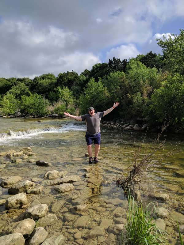
#hike46 - Clear Creek Natural Heritage Center
Location: Clear Creek Natural Heritage Center Date: 11/26/2017
Distance: 3.0 miles
Decided to head up to the Clear Creek trail today north of Dallas-Fort Worth for a change of pace and it was well worth it. The trail wasn't too busy and it was the perfect day to be outside. The weekend got away from me with various things that came up so today was much needed. I'm a week behind on my hikes, but will be making that up over the next couple of weeks, pending any OTHER random happenings.
Today's adventure took us down the Wetlands trail, the Bois d'Arc Loop, and back via the High Trail. Here are some photos. Happy Hiking.
#hike44 - Eagle Mountain Park
Location: Eagle Mountain Park on Eagle Mountain Lake (NW Fort Worth, TX) Date: 11/5/2017
Distance: 5 miles
Today was a special hike because the fall colors finally started to show! I grew up in Michigan, with fall being that magical time of year when the leaves changed and the weather got cooler. Things are a little different here in North Texas, as the temps are still high but the leaves have started to turn. Beautiful oranges, golds, yellows, purples, and reds mixed with the usual greens. The views from the higher elevations were beautiful and the entire hike was filled with that autumn peacefulness. The blue grass has turned a majestic purple-red, almost unreal, and the oaks vary from orange to red. Everything had a touch of morning glow, so that helped too.
We did the main loop, and followed the shoreline and caught a nice breeze from the lake. Along the way we saw an armadillo, several deer, squirrels, a field mouse, and a murder of crows. I love sharing this place with others and today I went with my friend Nikki, who's gone before, and my other half who hasn't. We had a nice big lunch after and it was just a great way to start this week ahead. Happy hiking everyone!
#hike43 - Goat Island Preserve
Location: Goat Island Preserve - Dallas County Date: 10/29/2017
Distance: 3.1 miles
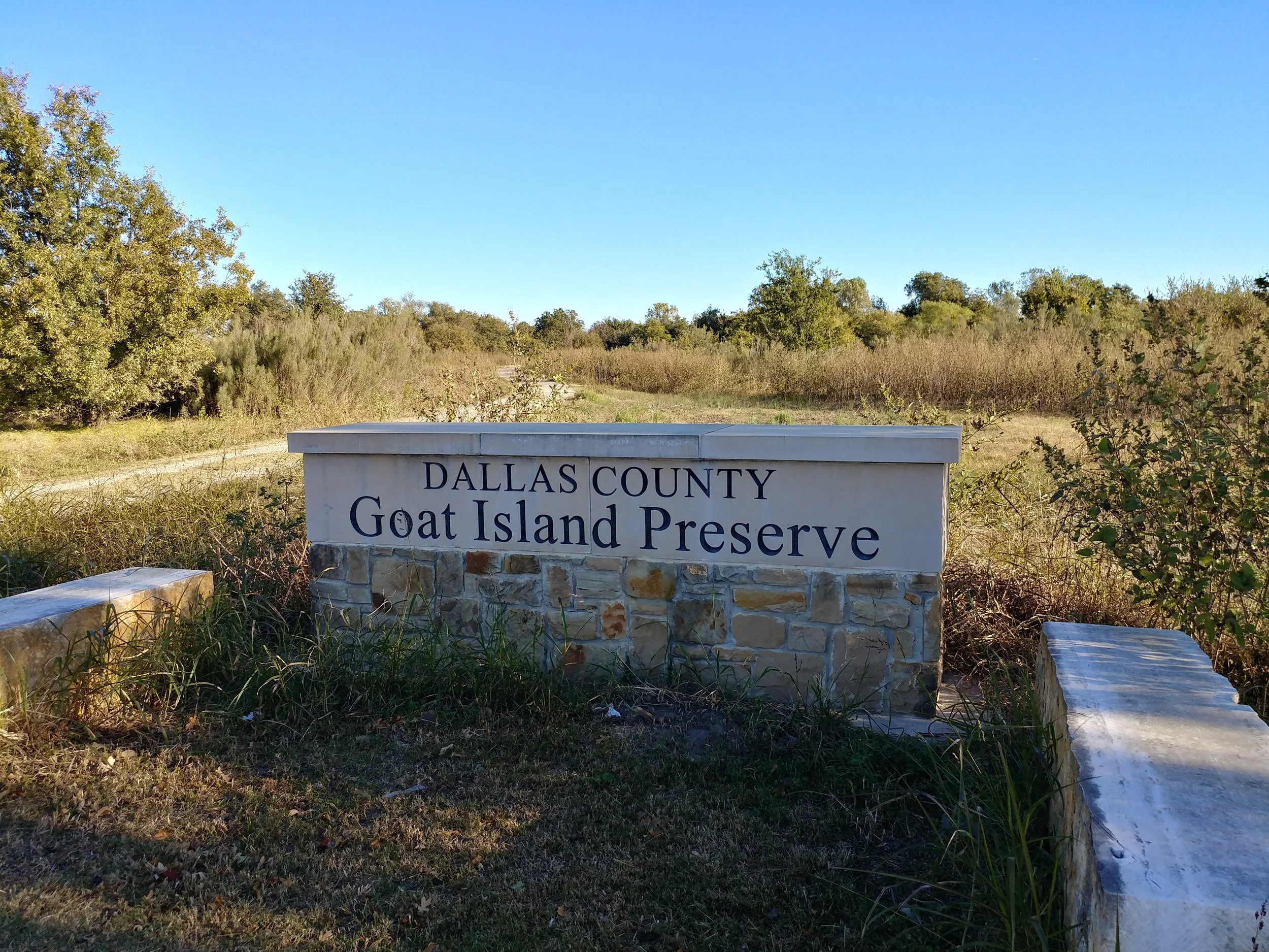
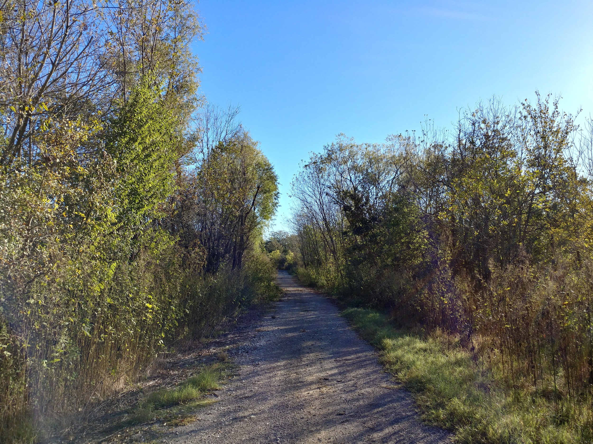
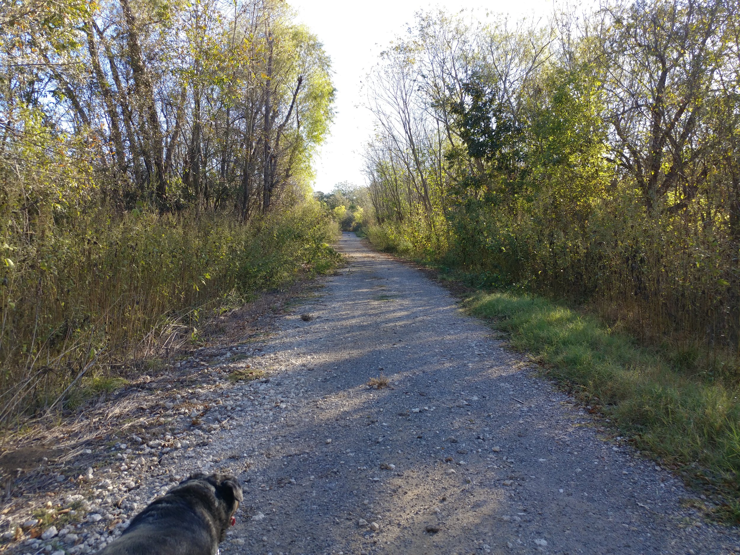
Was sick of the same old places, so we tried something new that I had forgotten about in Dallas County. Goat Island Preserve is a neat little place along the Trinity River. Today we walked down what appears to be an old access road for the locks and dams along the river. There are a ton of off-shoots for mountain biking per DORBA. It was an easy walk with plenty of opportunities to trek through the woods. This was a nice way to enjoy a Sunday morning. We arrived to an empty lot and only passed three people on their horses on the way out. Happy hiking!
#hike42 - Cedar Ridge Preserve
Location: Cedar Ridge Preserve Date: 10/28/2017
Distance: 2.25 miles
Today Chewy the Dog and I went to Cedar Ridge. I was going to go somewhere dogs weren't allowed, but he gave me the look when I was leaving that I couldn't ignore. We walked to Cattail Pond, a little past and then back up the Escarpment Trail. All in all, an easy and peaceful hike. I felt refreshed and relaxed during and after the hike. It was a brisk 37 degrees this morning, with it getting as low as 30. There were quite a few people there, as usual, probably due to the cooler temps. This is a make up hike for last week, I'll go again either later or tomorrow for this week's. Here are some pics from our stroll. Happy Hiking.
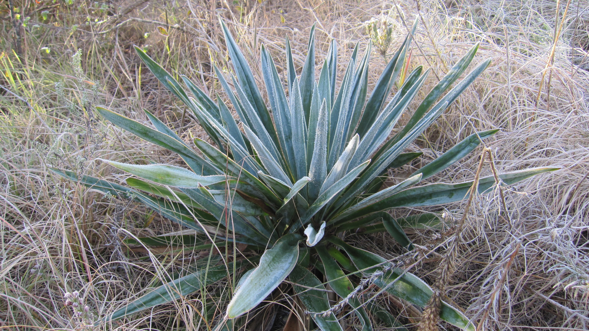
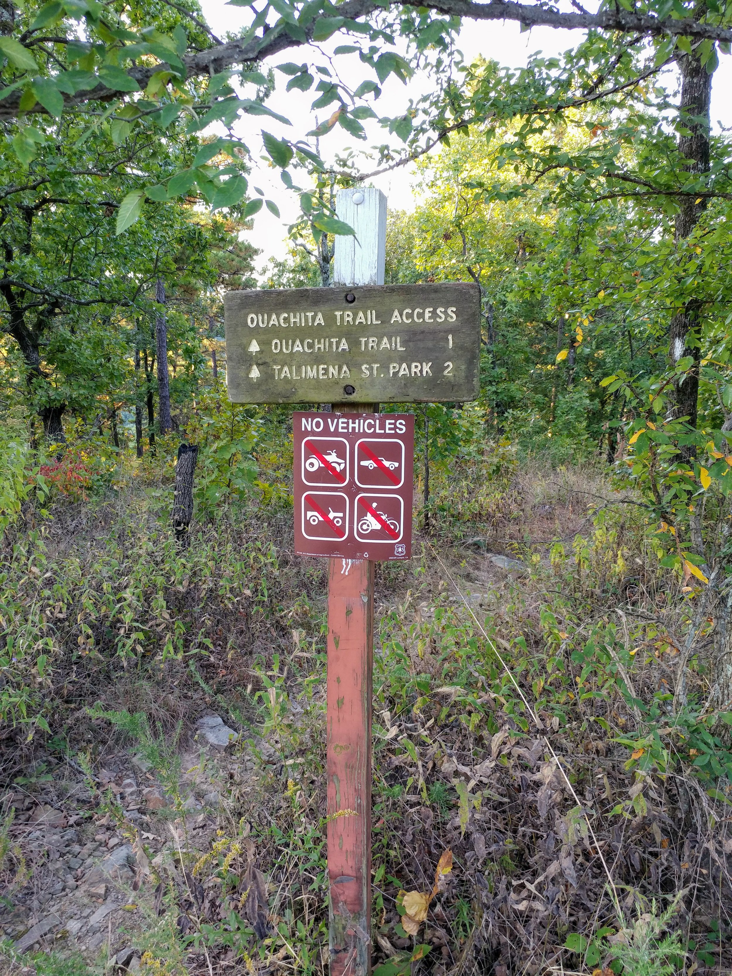
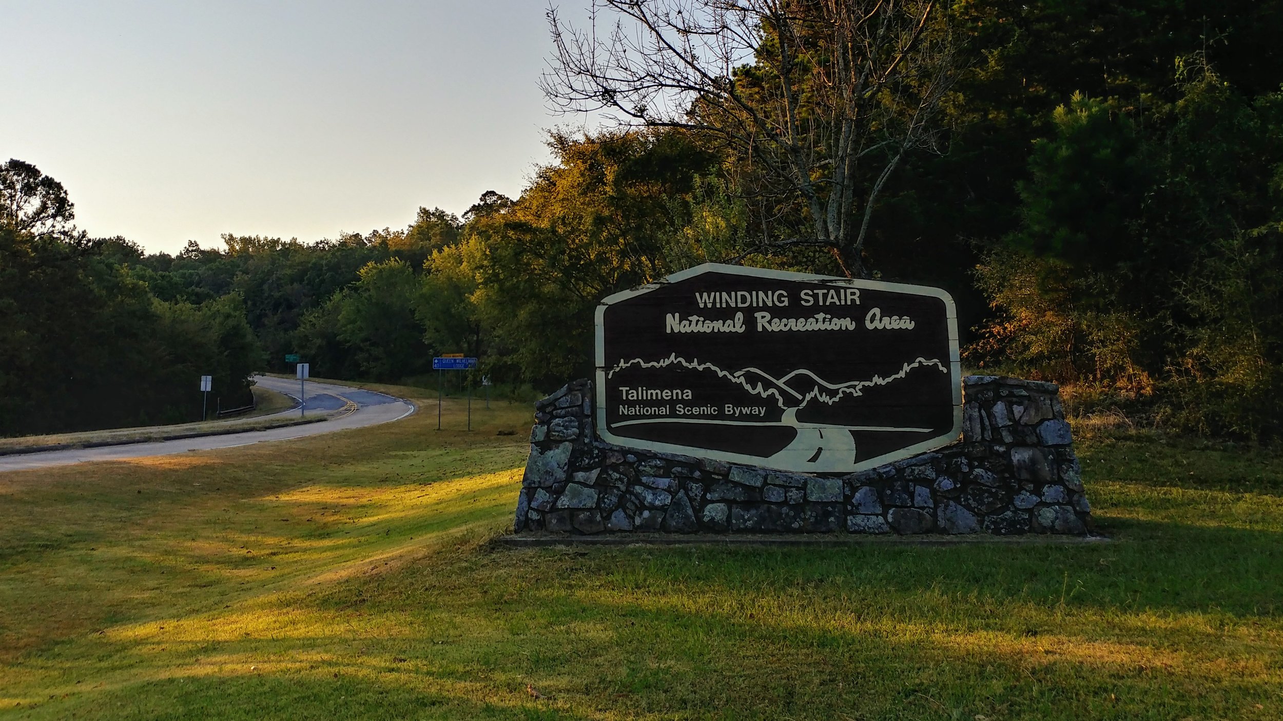
#hike38 - Ouachita National Forest
Location: Ouachita National Forest Date: 9/23/17
Distance: 7.73
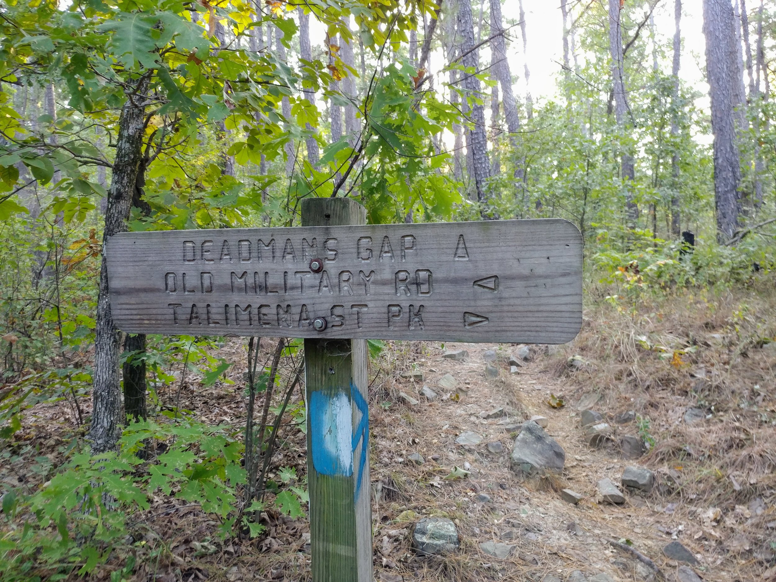
Trails: Old Military Trail to Ouachita National Recreation Trail
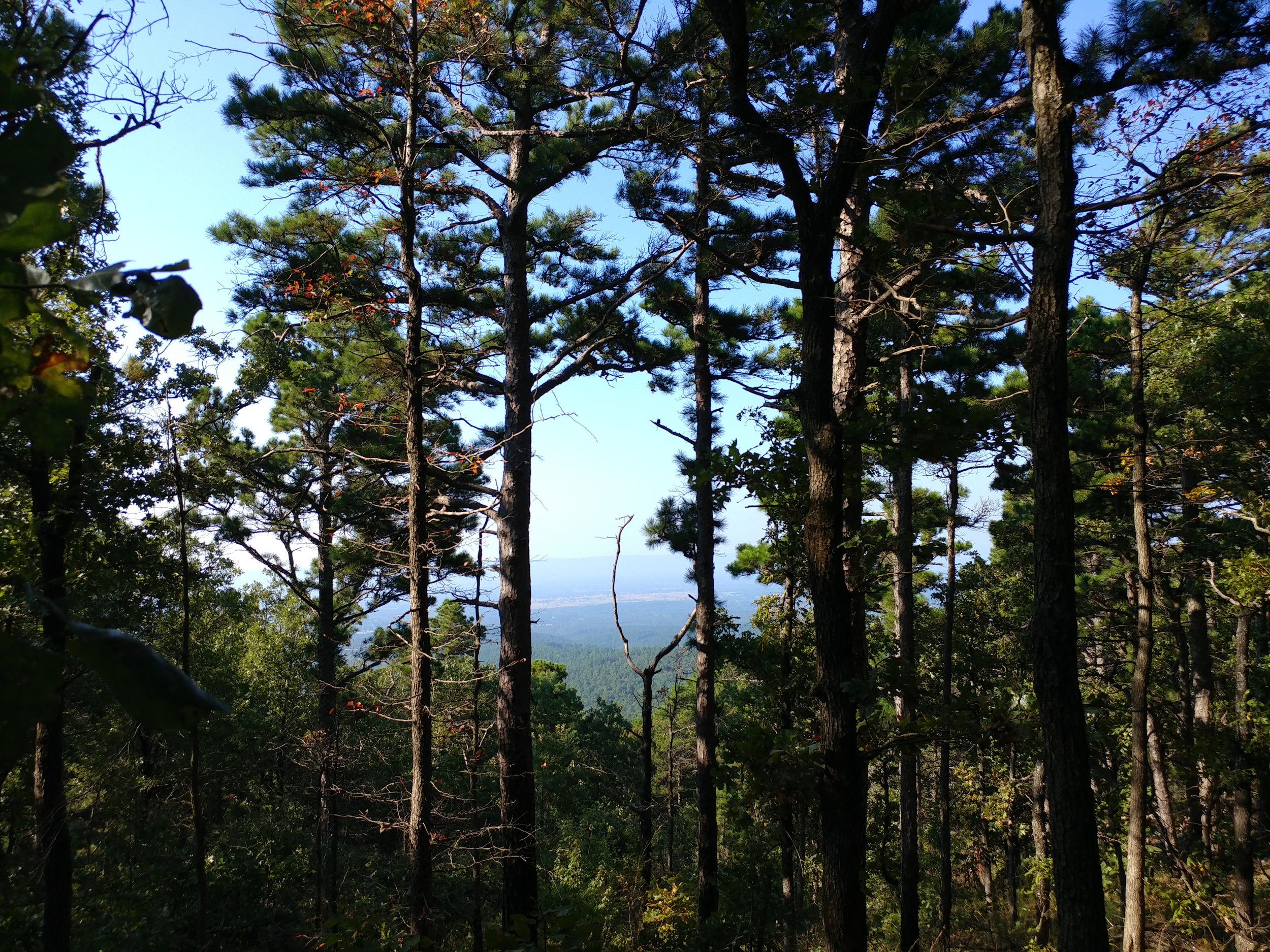
I woke up at 3, left by 3:30 and made it to the trail by 7:45. I had a few stops along the way, but finally got there! The drive was fantastic - no traffic, pink sunrise over Oklahoma hills, and no traffic...ha.
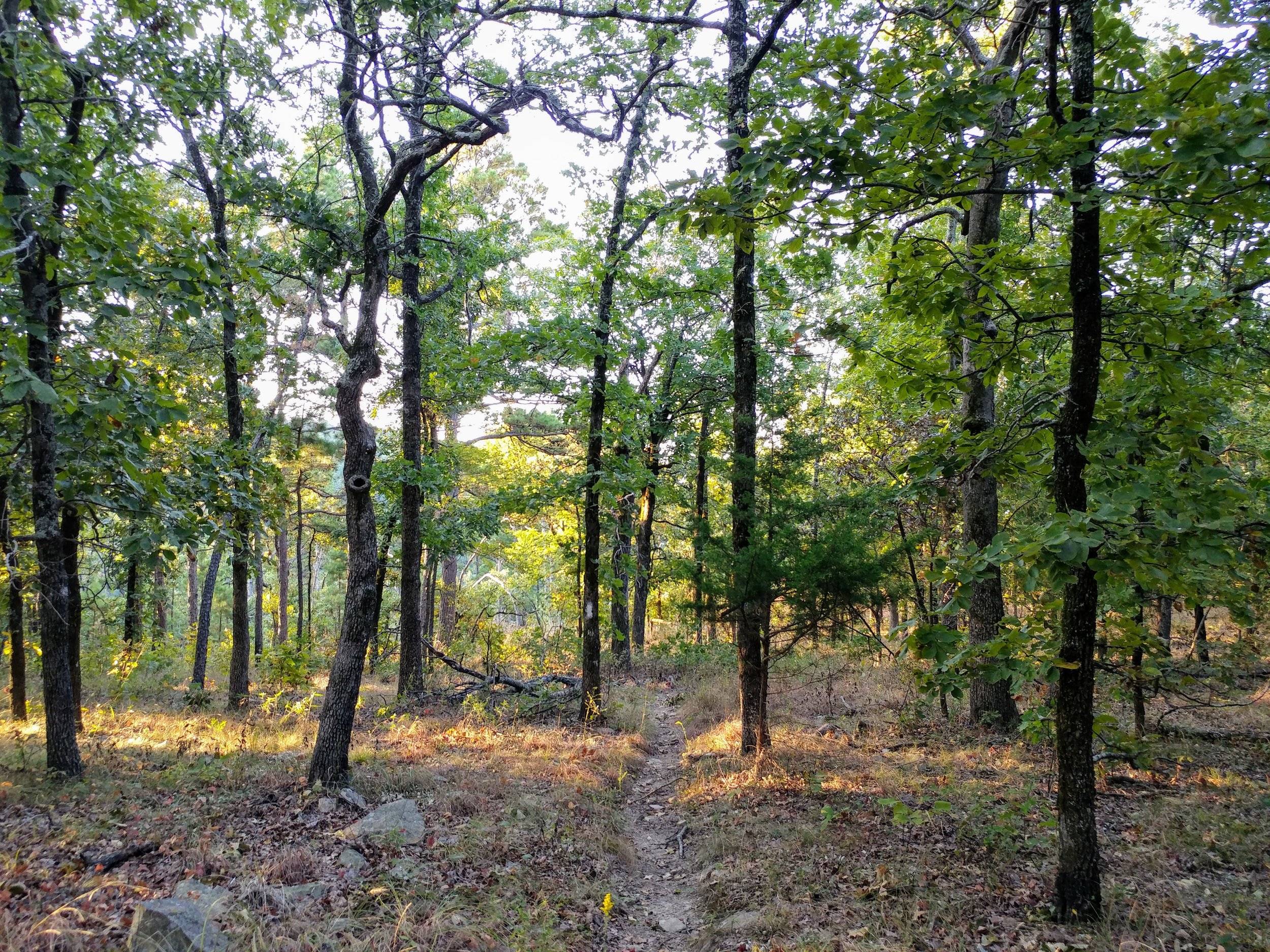
I parked at the Old Military Picnic area and took the Old Military Trail south. It started off heading downhill via some large switchbacks. After about a mile, it met up with the Ouachita Trail. I headed east and went for couple of miles to Potato Hill Vista. The trail was mostly up-hill to Potato Hill. From there, I went a bit more east but turned around as the bugs and my legs were annoying.
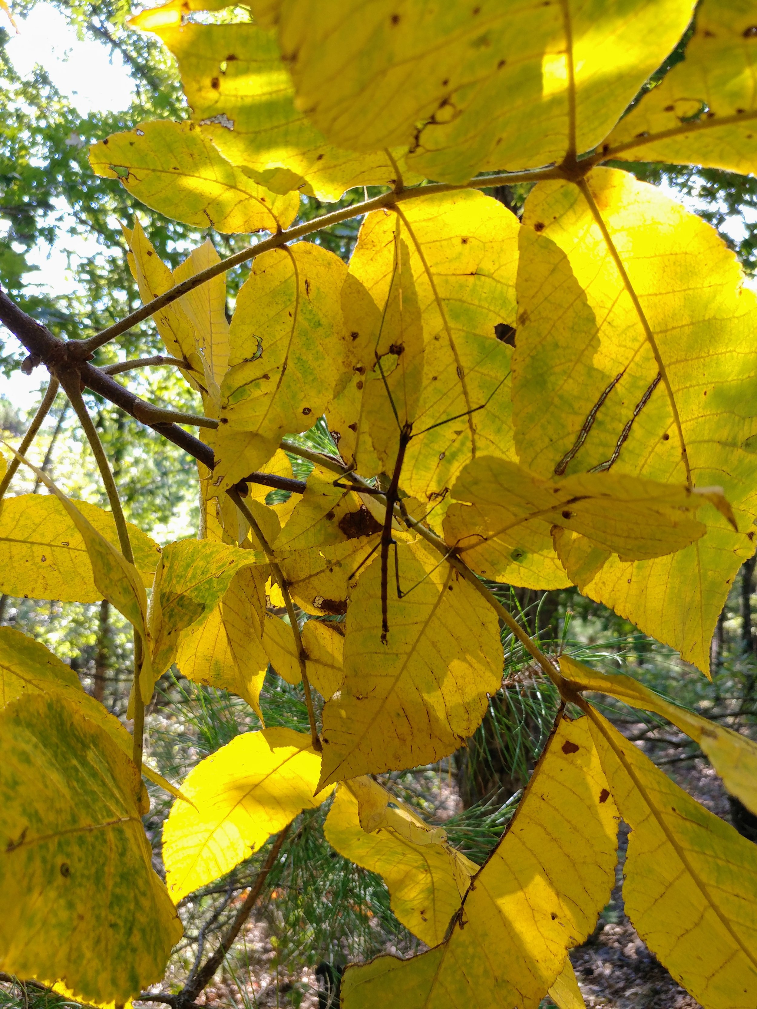
I encountered probably fifty big spiders and their webs, walking sticks, horse flies, and various jumping insects. By far, out of 38 hikes, the most annoying for bugs. The terrain was one of the most challenging for me, as I live in Texas and our trails are mostly flat. On my return trip, I encountered 10 people - which was much less than expected.
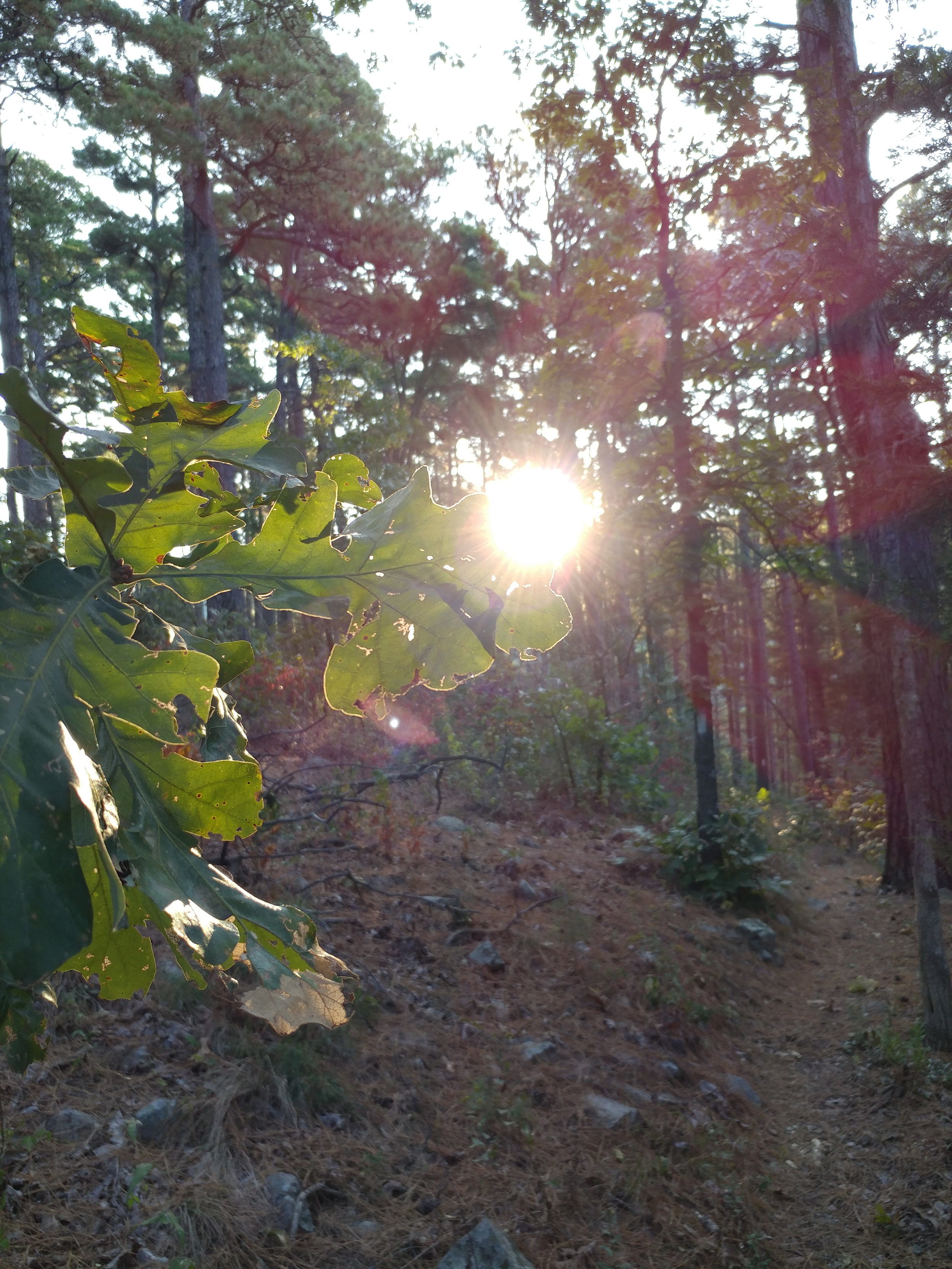
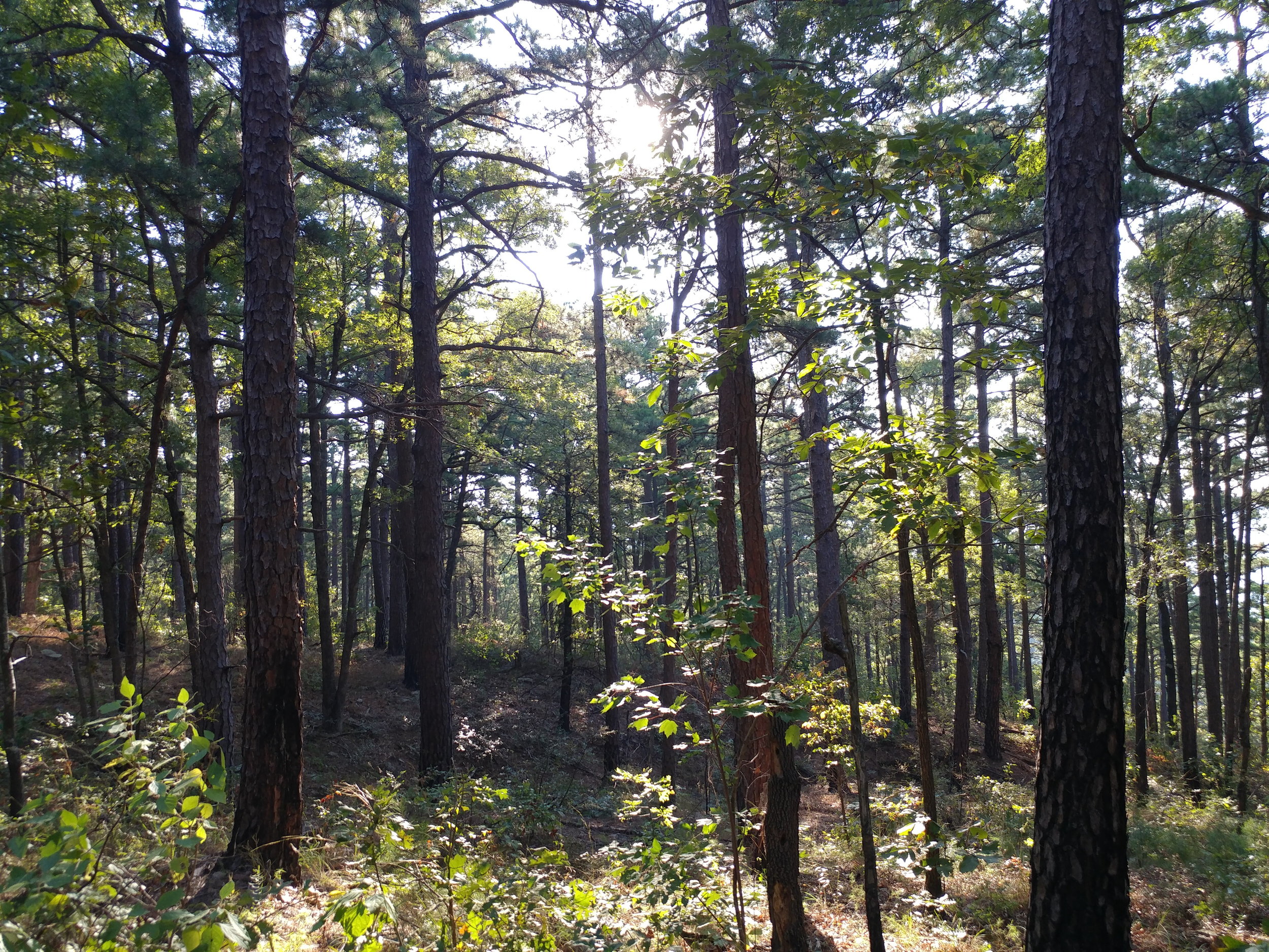
The forest consists of a mix between mostly oak and pine. The pines are always a treat. I would like to go back and hike a bit more when it cools down a bit more and bugs go dormant. Highly recommend this trail for anyone in TX-OK-AR area.
#hike33 - Bryce Canyon NP & Cedar Breaks NM
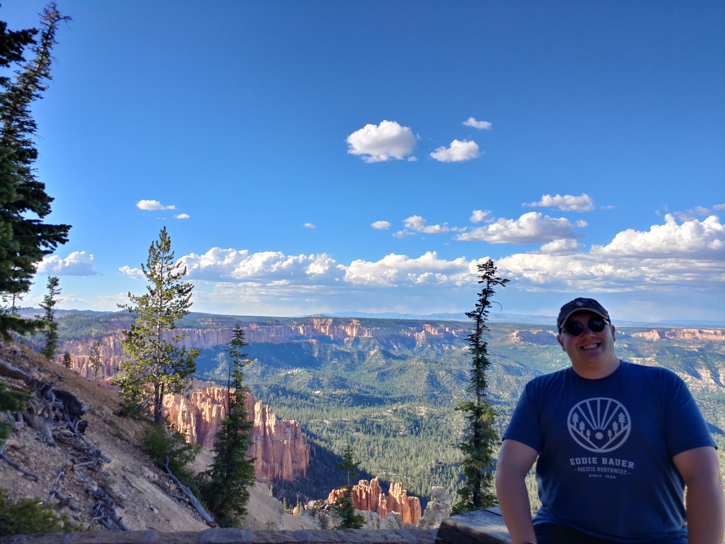
I'm actually documenting two hikes for this one, as they were within 18 hours of each other. Hike 33a: Bryce Canyon National Park - Bristlecone Loop - 1 mile (8/20/2017)
Hike 33b: Cedar Breaks National Monument - the hike to Spectra Point - 2 miles (8/21/2017)
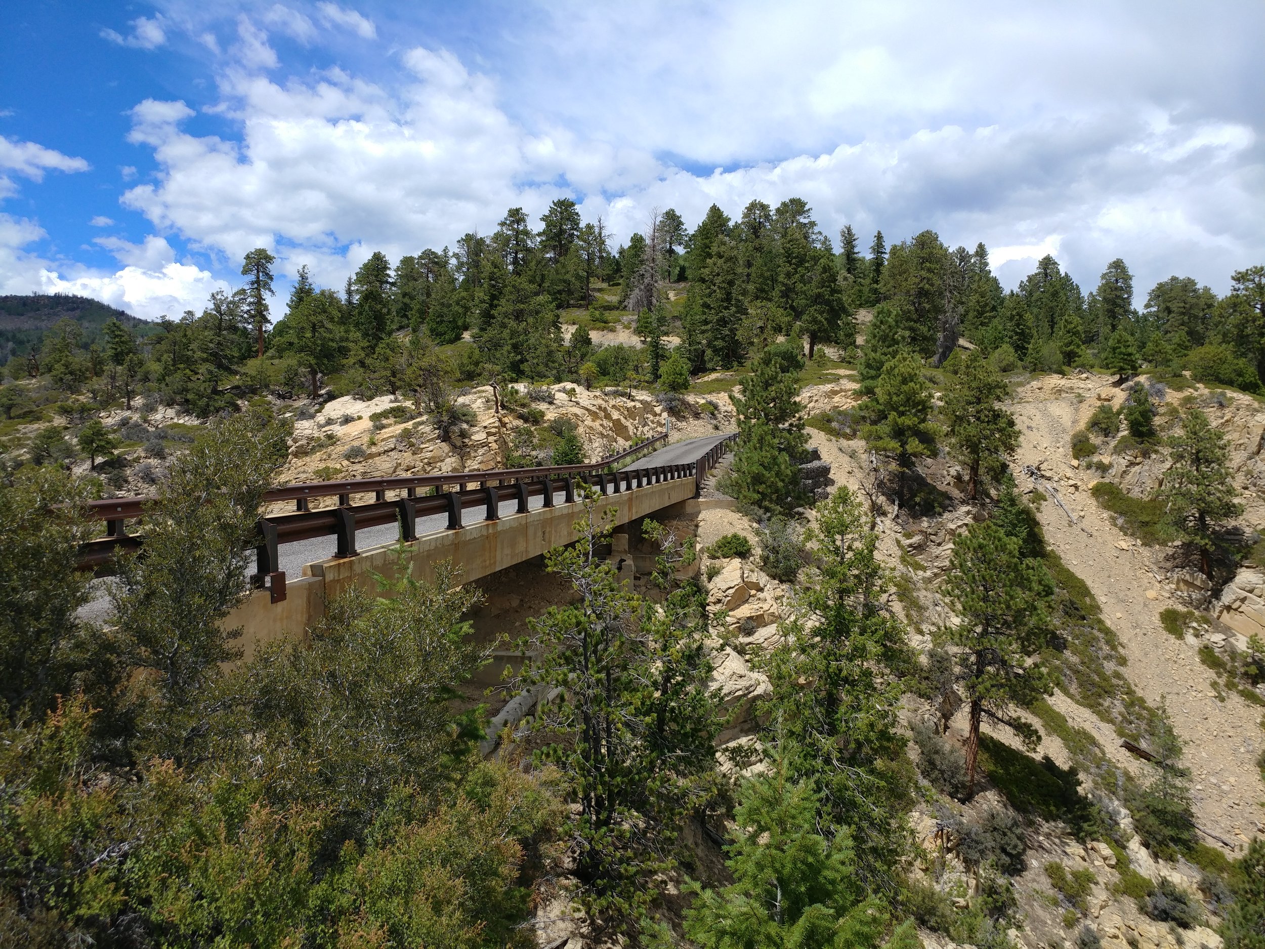
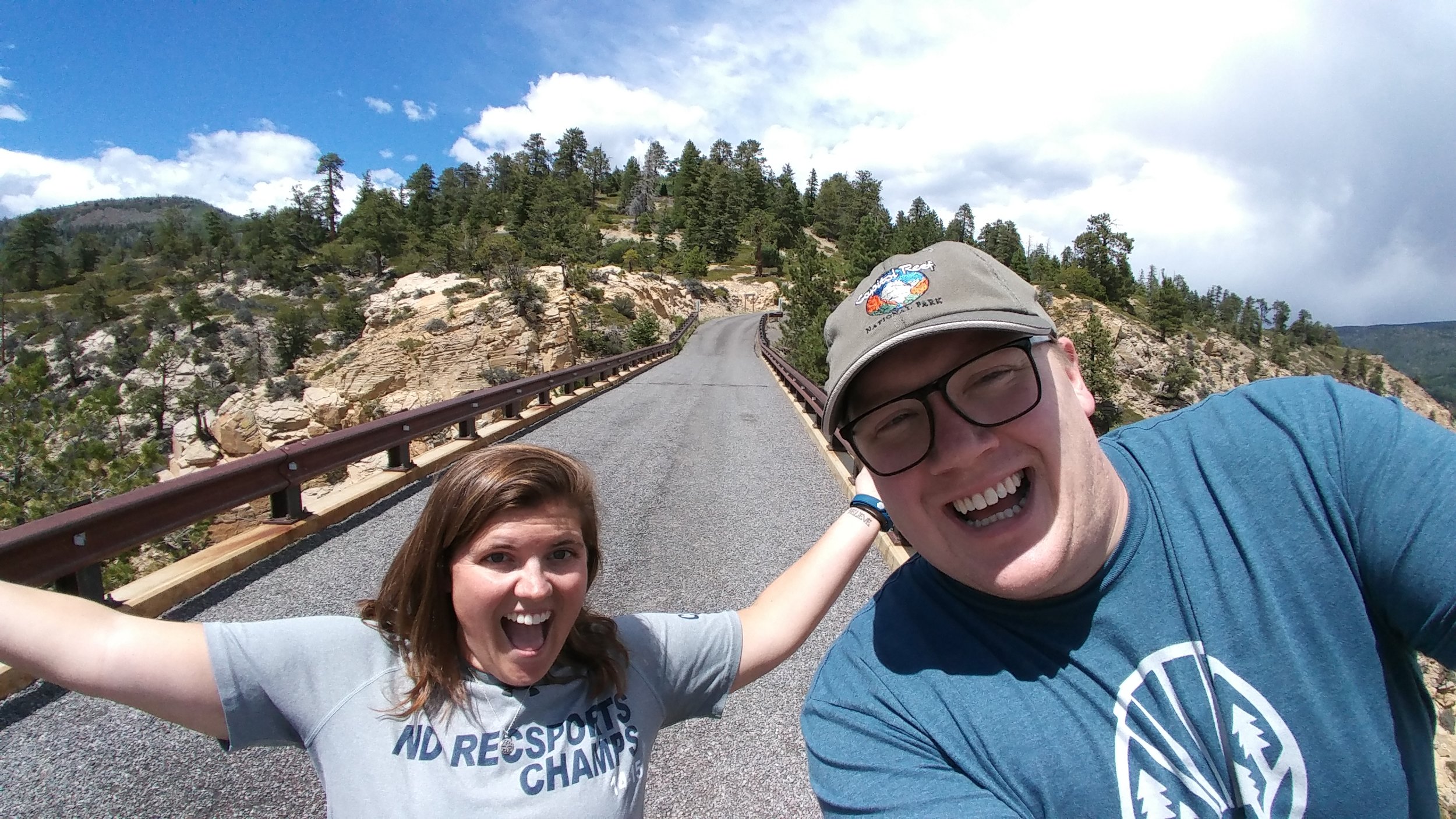
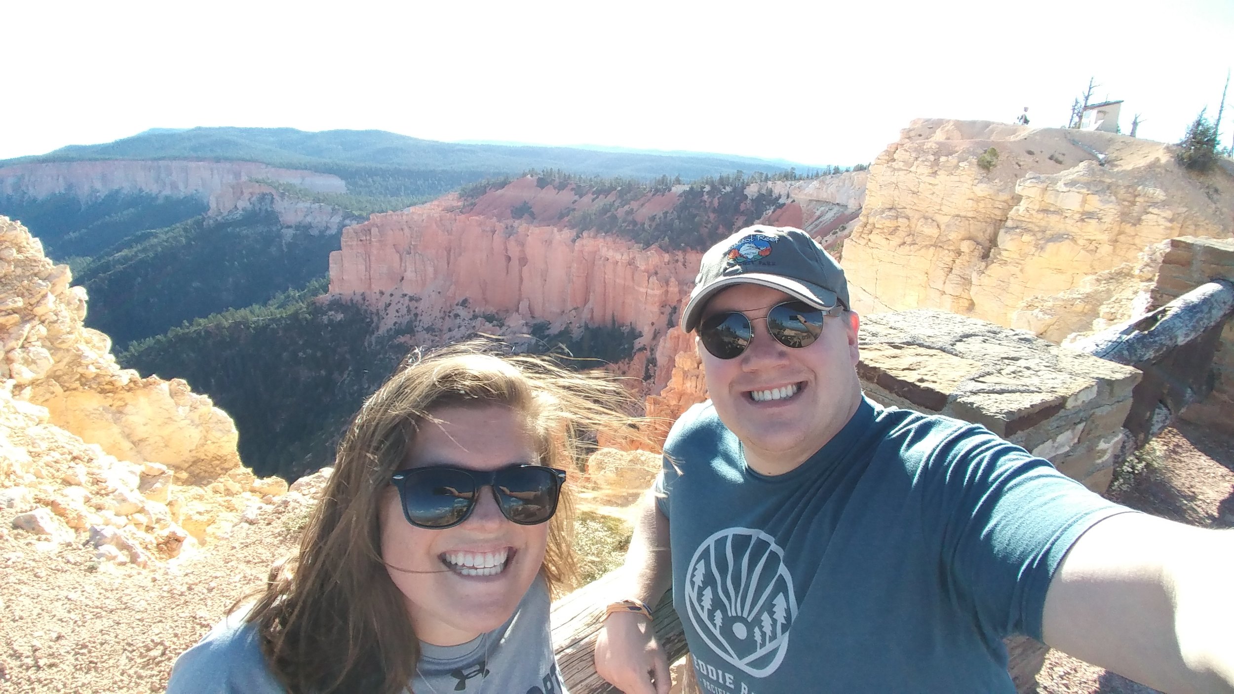
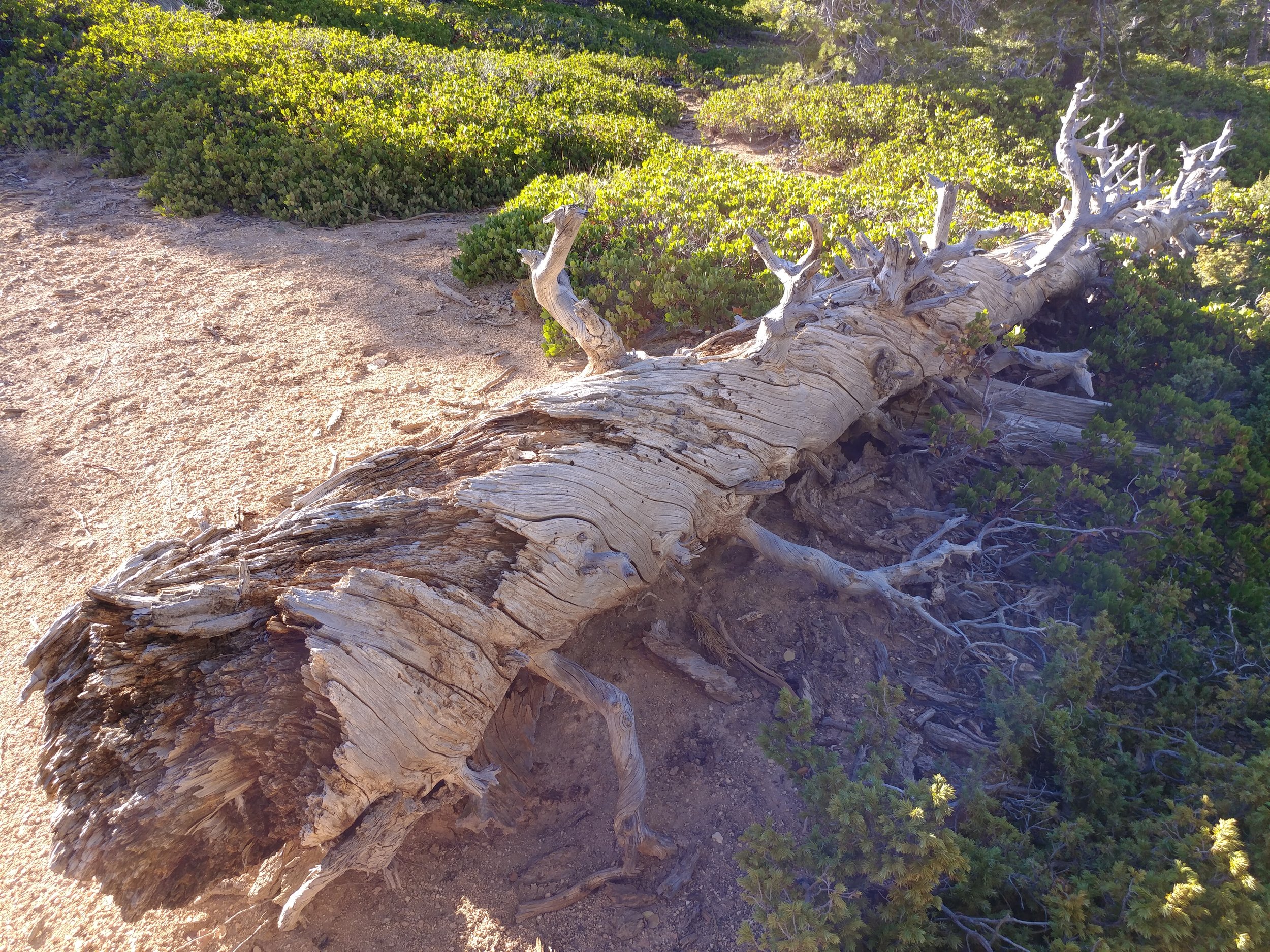
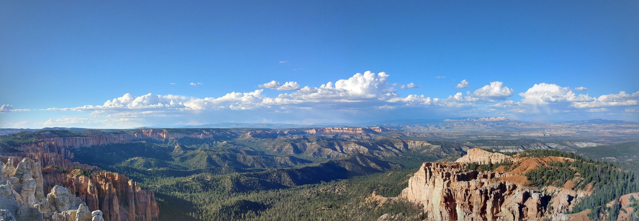
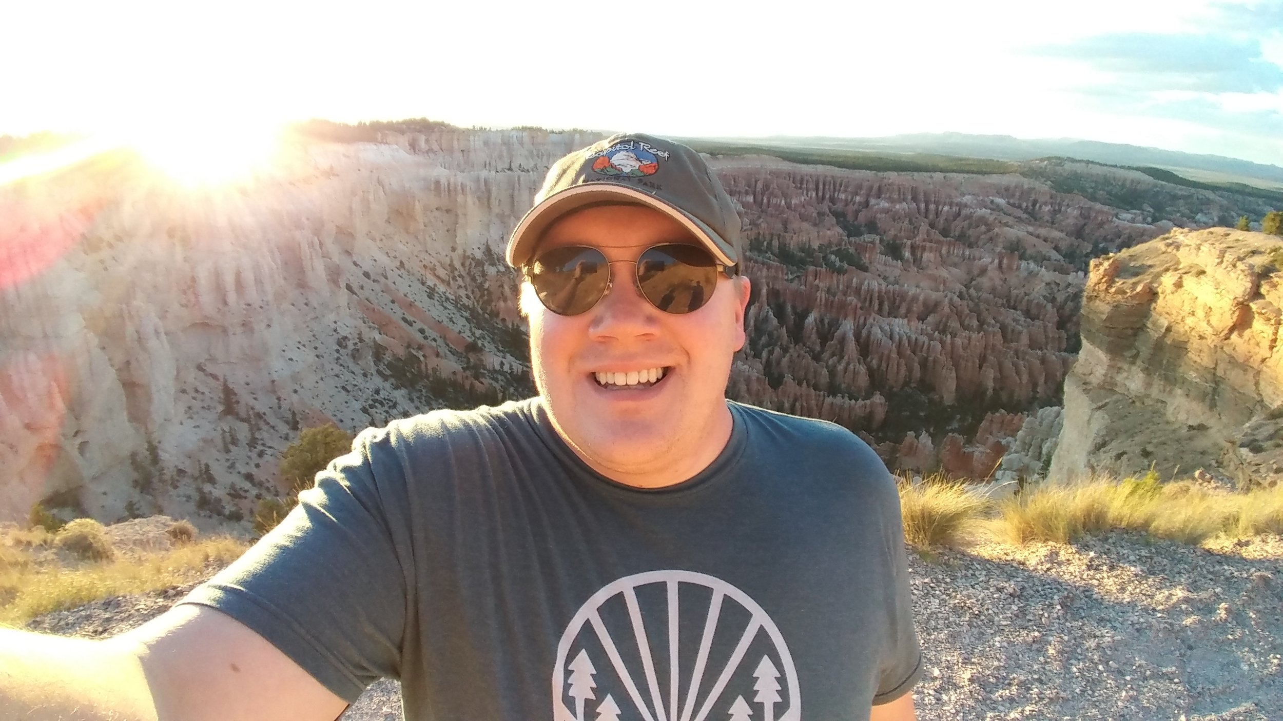
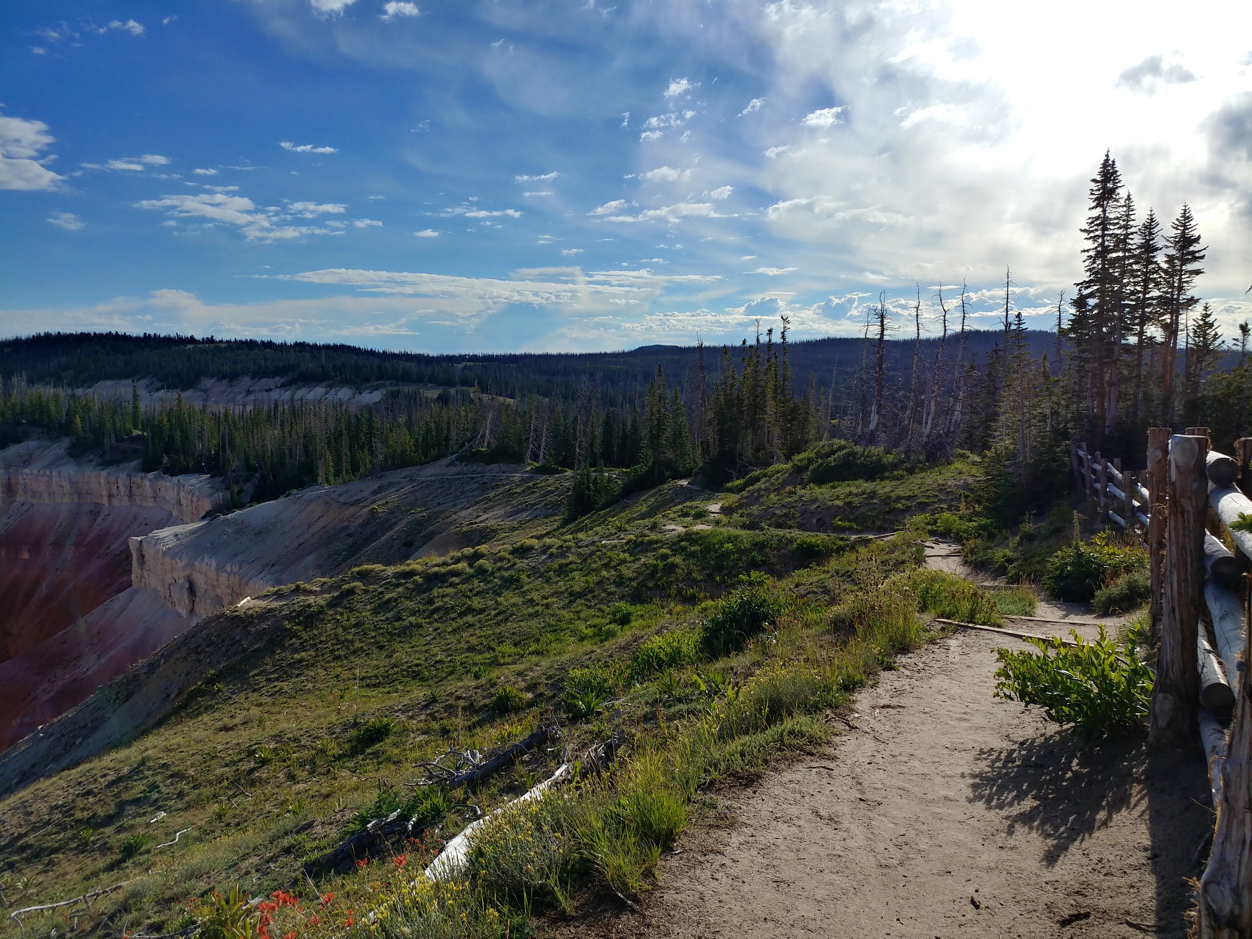
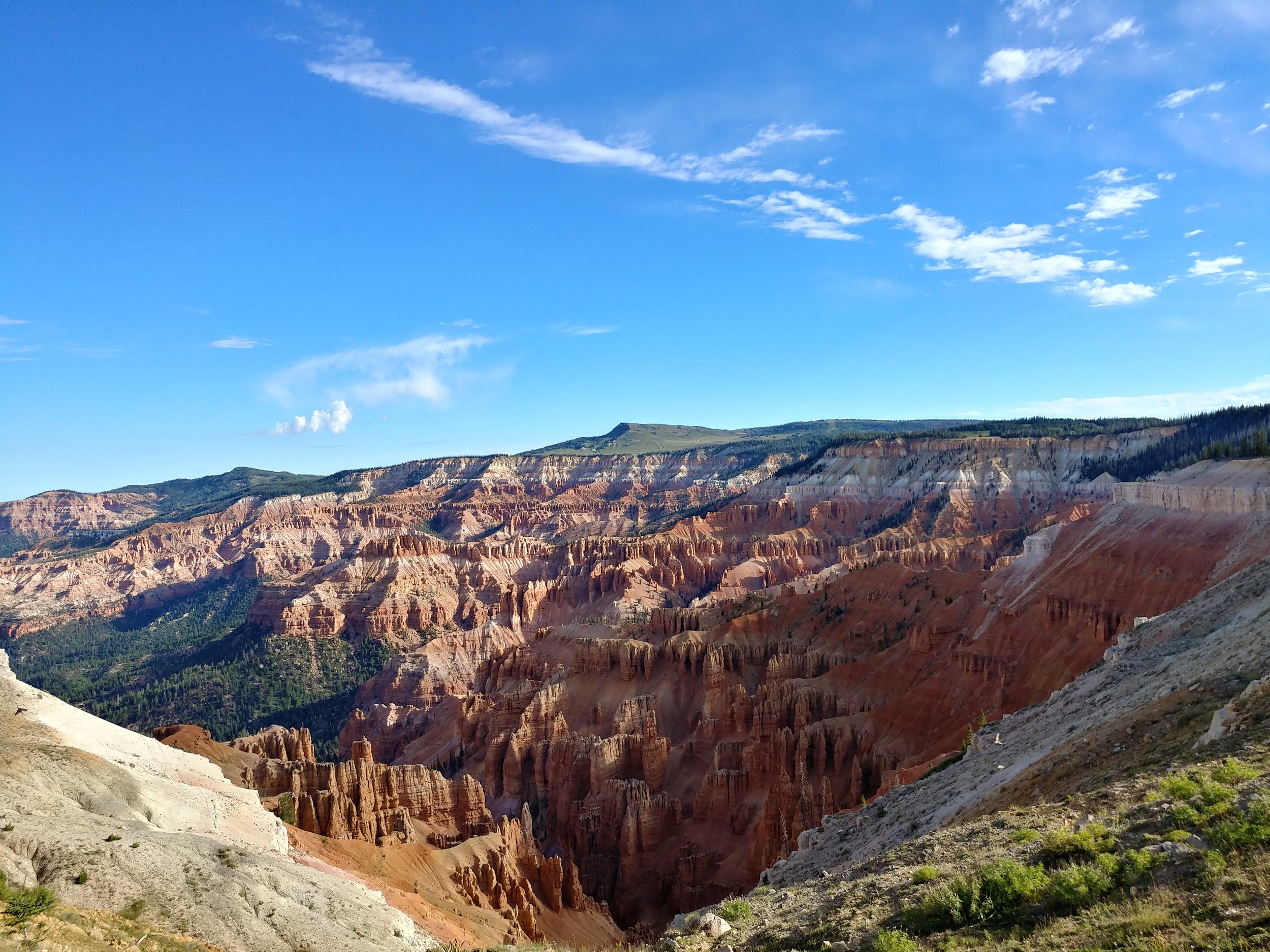
I had planned a solo scenic trip to Utah, and then my BFF decided she could join me! I was pumped, as I knew she'd appreciate it all as much as I did. We both flew in to Salt Lake Friday, managed to get dinner and a hotel and rested up for morning. Saturday, we woke up early, as it is our nature, and headed south. Our first stop was Capital Reef National Park. We did a partial hike at Chimney Rock, stopped at the visitor center, and absorbed the views from a few viewpoints. We took the scenic Hwy 12 byway onward to US Forest Service RD 153 to Hells Backbone. The drive was on a narrow road through the hills and forest to a spot that took our breath away. Once there, the narrow bridge spanning a deep groove through the rock was intense. *Pictures are just placeholders - there to trigger the memory* From Hells Backbone, we moved on towards Bryce Canyon. I had been to BC once, in the winter of 2010, so I was anxious to see it in the summer - and go all the way in to the park. Upon arrival, we headed directly to mile marker 18 at Rainbow Point. Our hike here would be the Bristlecone Loop. We walked on the edge, ish, and read about the pines. We were in awe. Amazing to stare out, and think about all of this coming to be. We moved down to other points, via car, and got out at most of them. The sun was setting and we made it back to Bryce & Inspiration points just as the light was running out The clouds were puffy and there was rain in the distance. All in all, we didn't hike much, but the bits we did at each point were enough to make your blood rush, your brain stop, and your eyes widen.
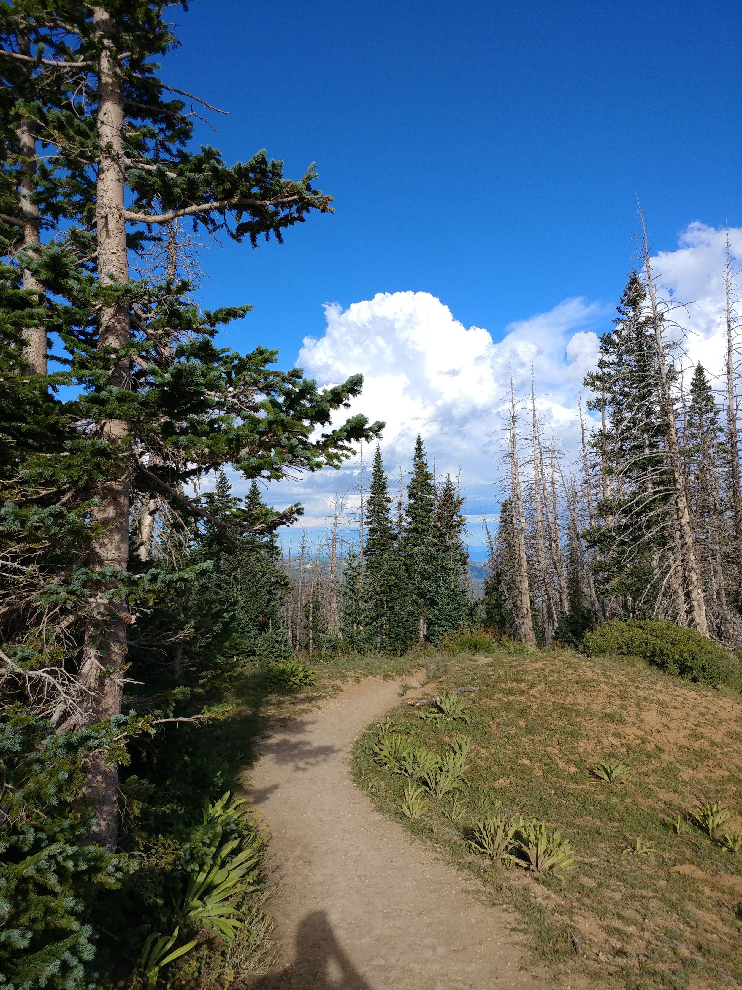
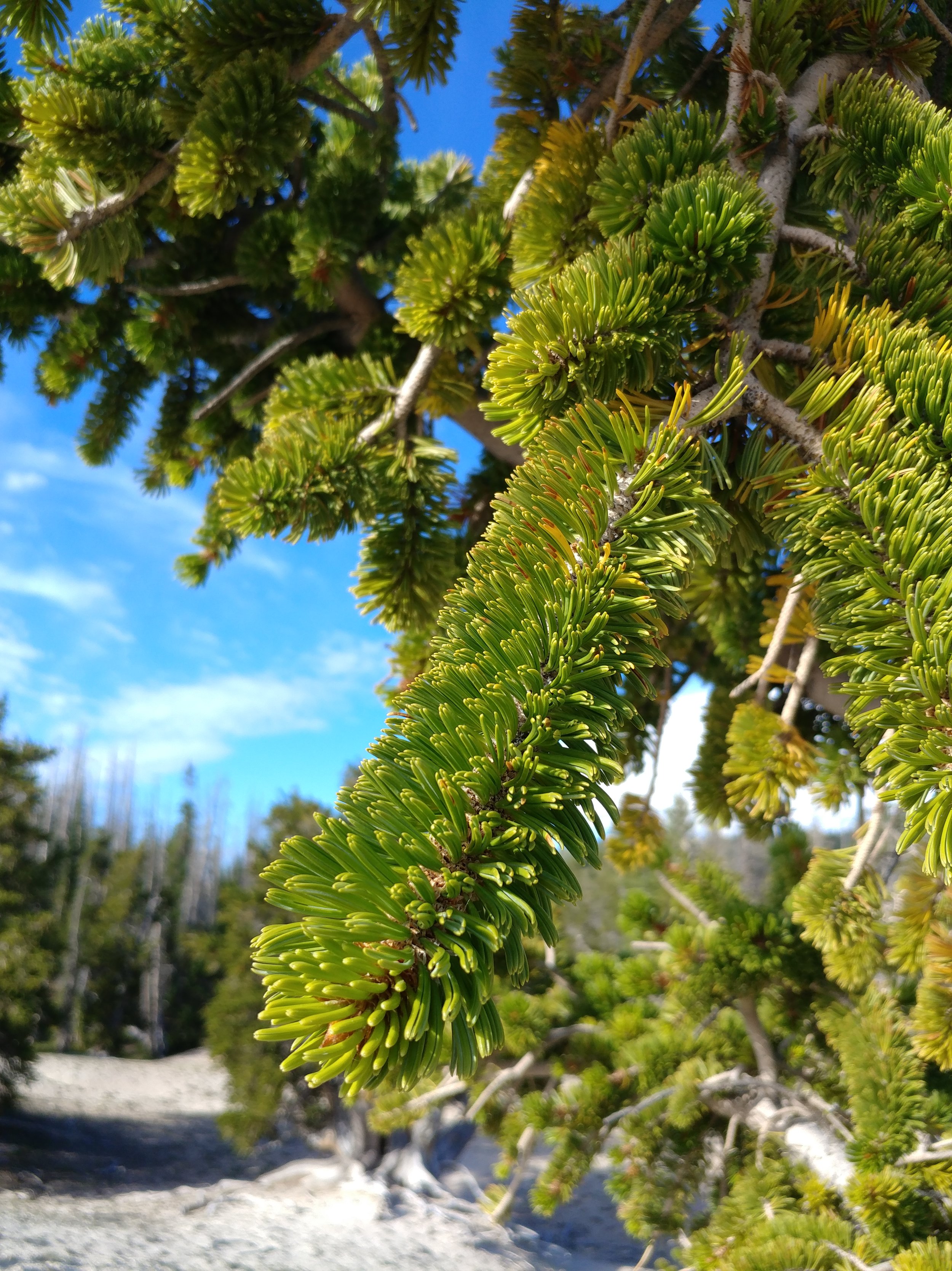
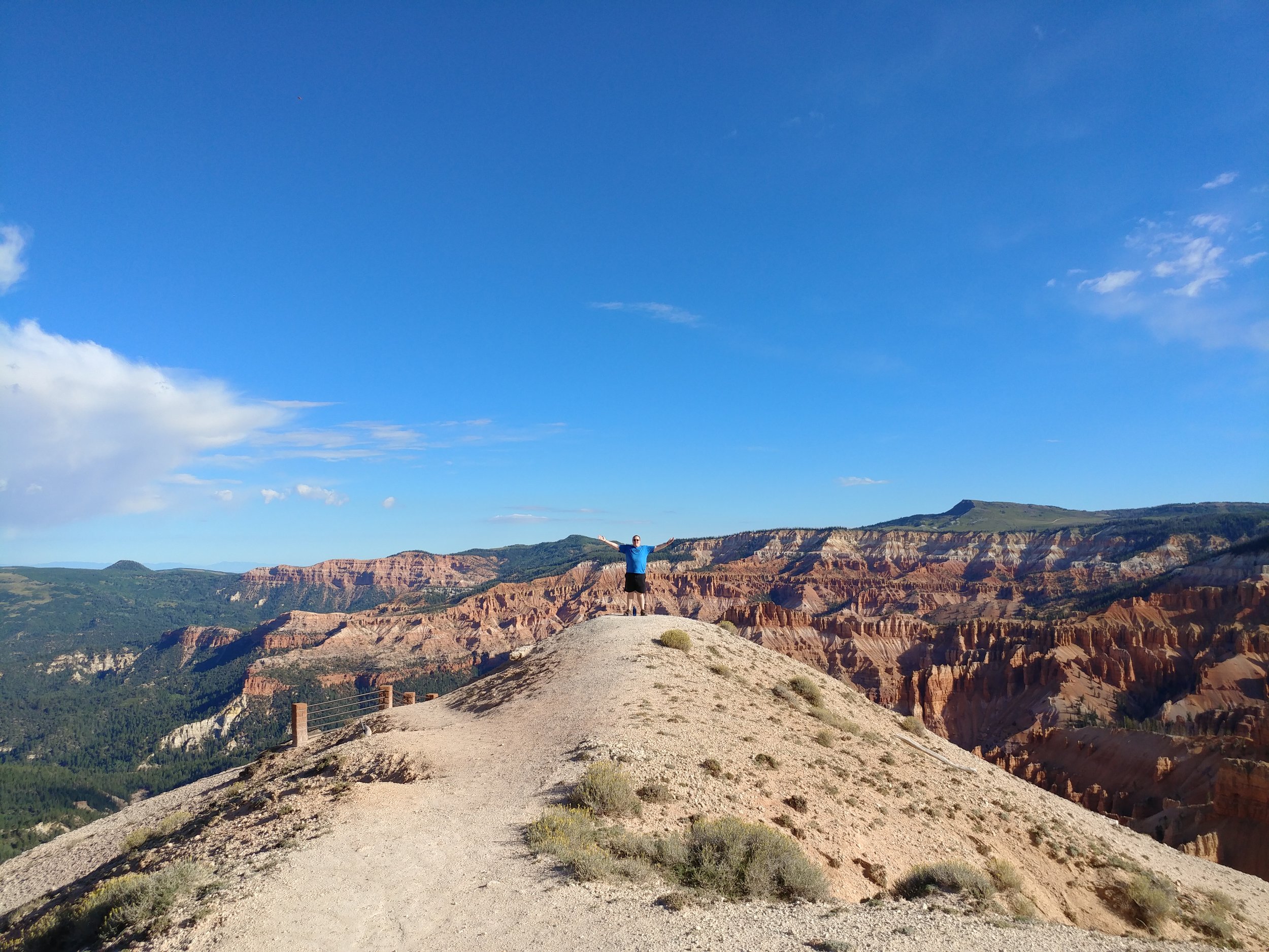
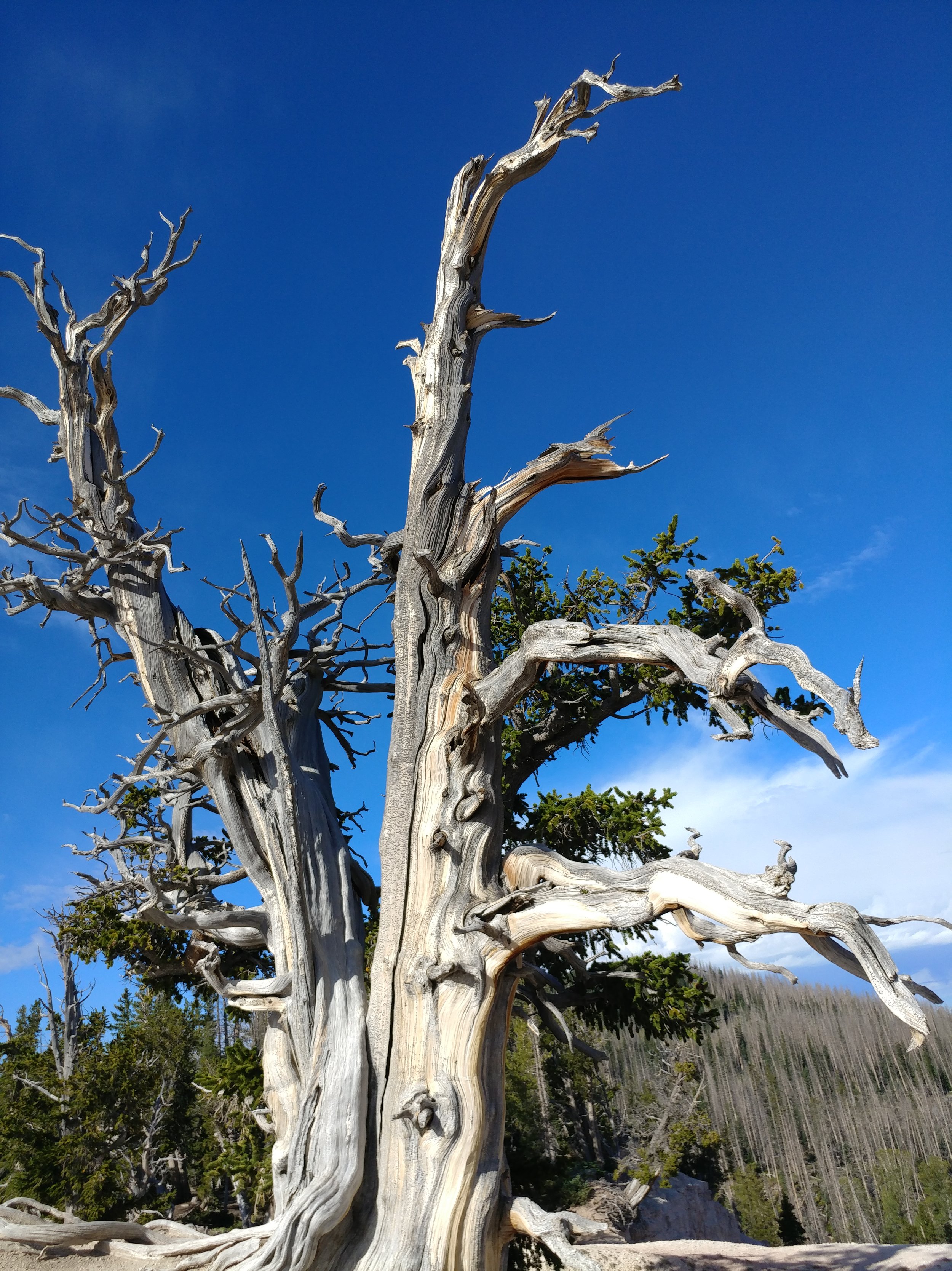
The second part of this hike was a morning hike, just after sunrise, at Cedar Breaks National Monument. THIS PLACE... I've wanted to go here for a while now, and I want to get back already. Our first stop was the ranger station, and Point Supreme. There was a rainbow in the distance, and it was one of the most magical scenes of my life. From the height, hoodoos, and sunlight, I was in total awe. We started off on the Sunset trail, but turned around. Went back and did the Spectra Point trail. It was a two mile trek in all, and looked promising. We stepped out on the first part, just over the initial hump in the trail, and I gasped with excitement...we would be walking around the edge of the canyon. This trail gave me a rush, I felt alive. Once at Spectra Point, my heart was racing from the thin air and the excitement. The views were stunning and the big old Bristlecone was inspiring.
All in all, it was a quick trip to Utah and so much was taken in. I am still, a week later, processing everything. I can't wait to get back! Happy hiking.
#hike32 - Redwood National & State Parks
Date: 8/10/2017 Place: Ossagon & Hope Creek trails
Distance: 1.6 miles
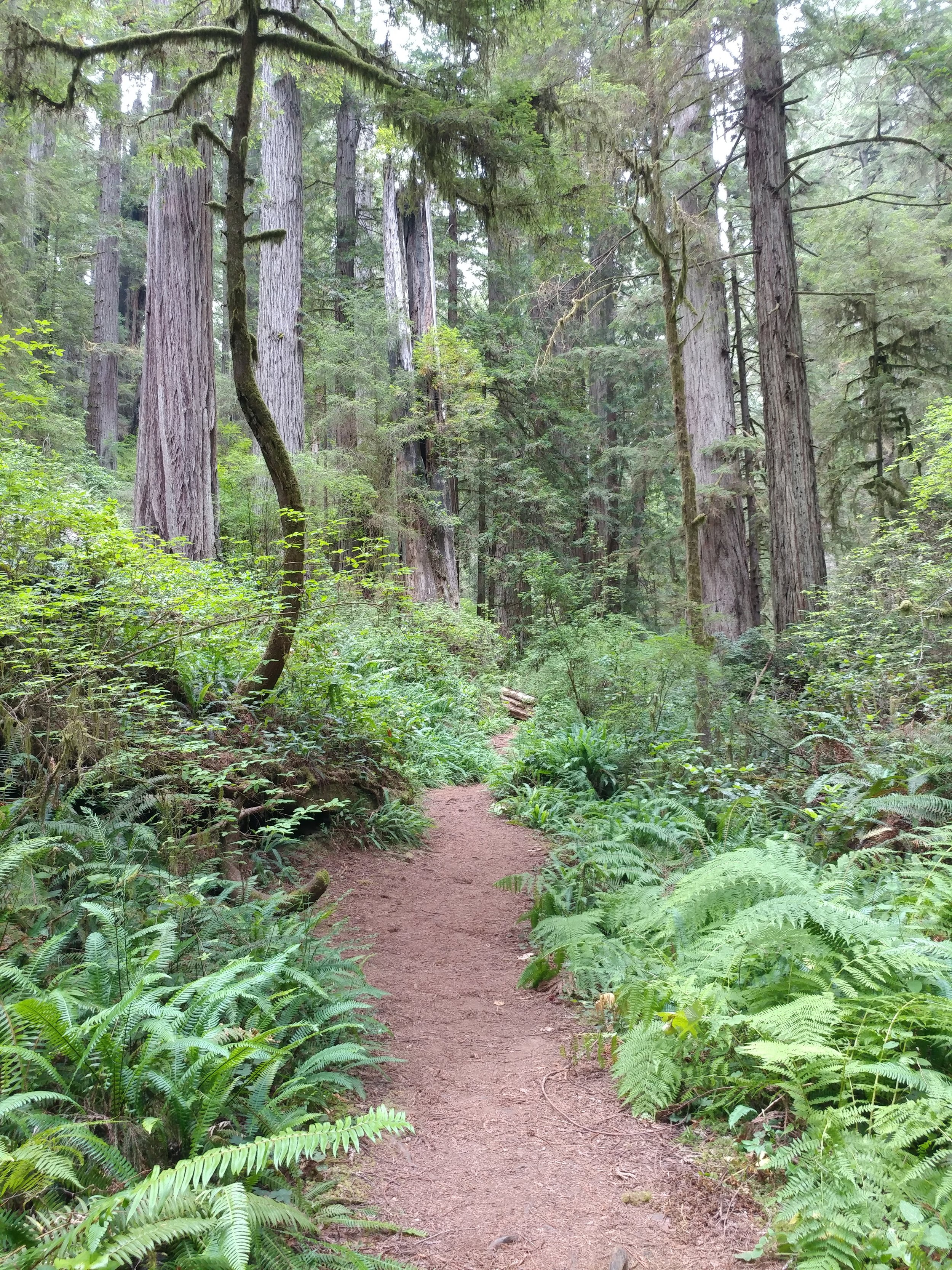
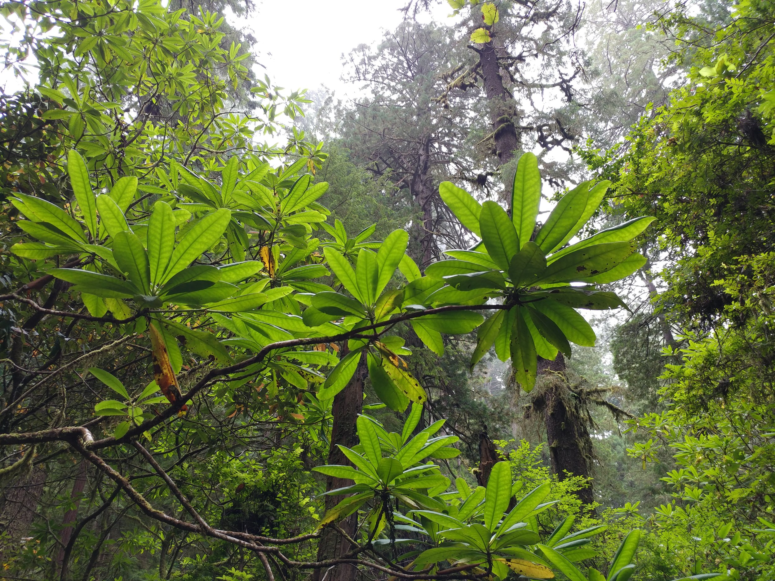
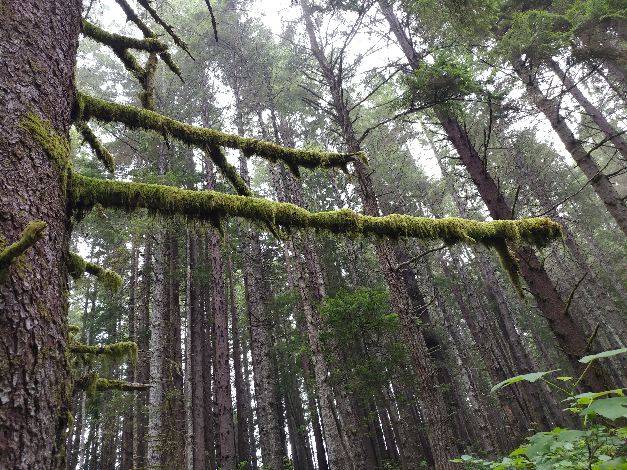
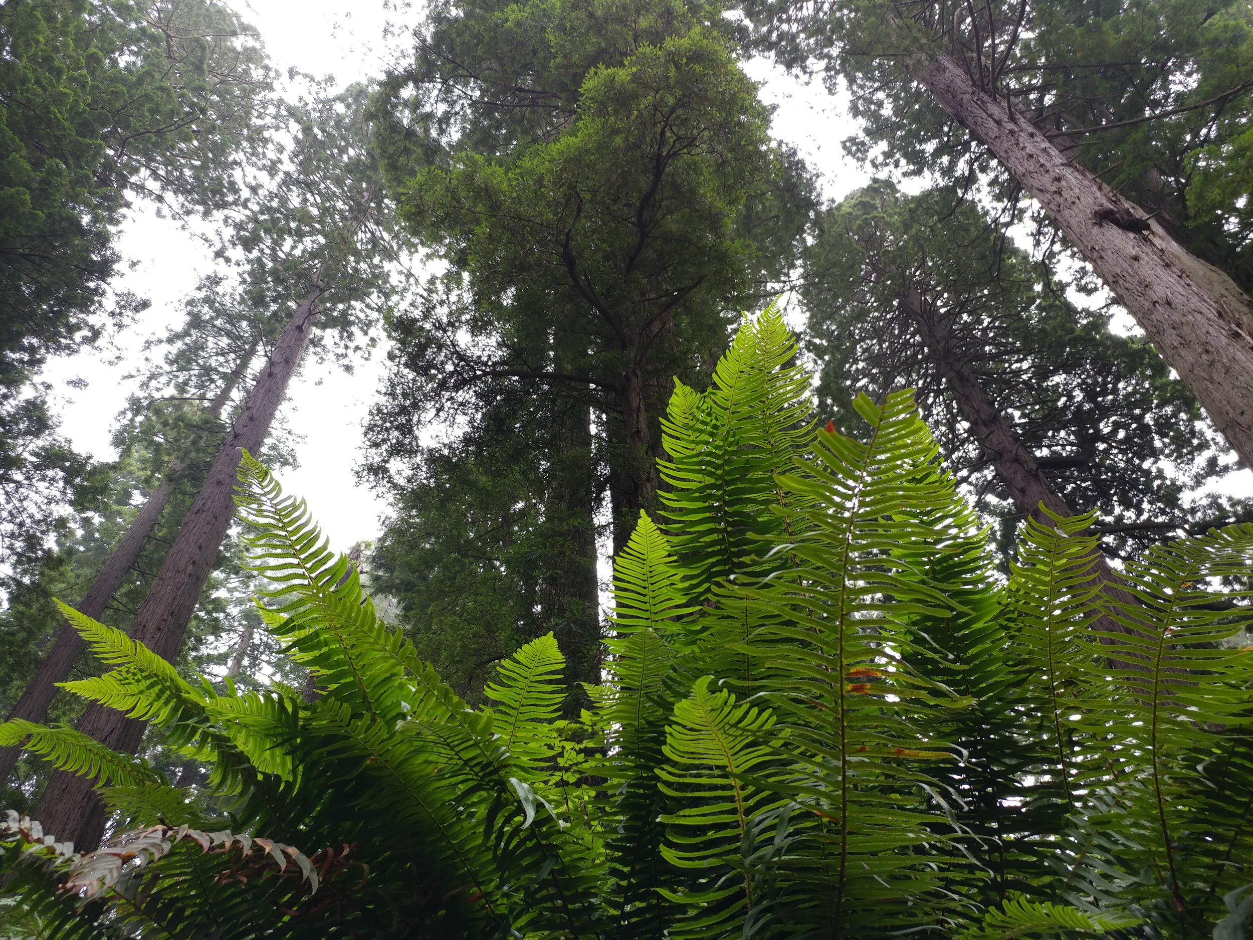
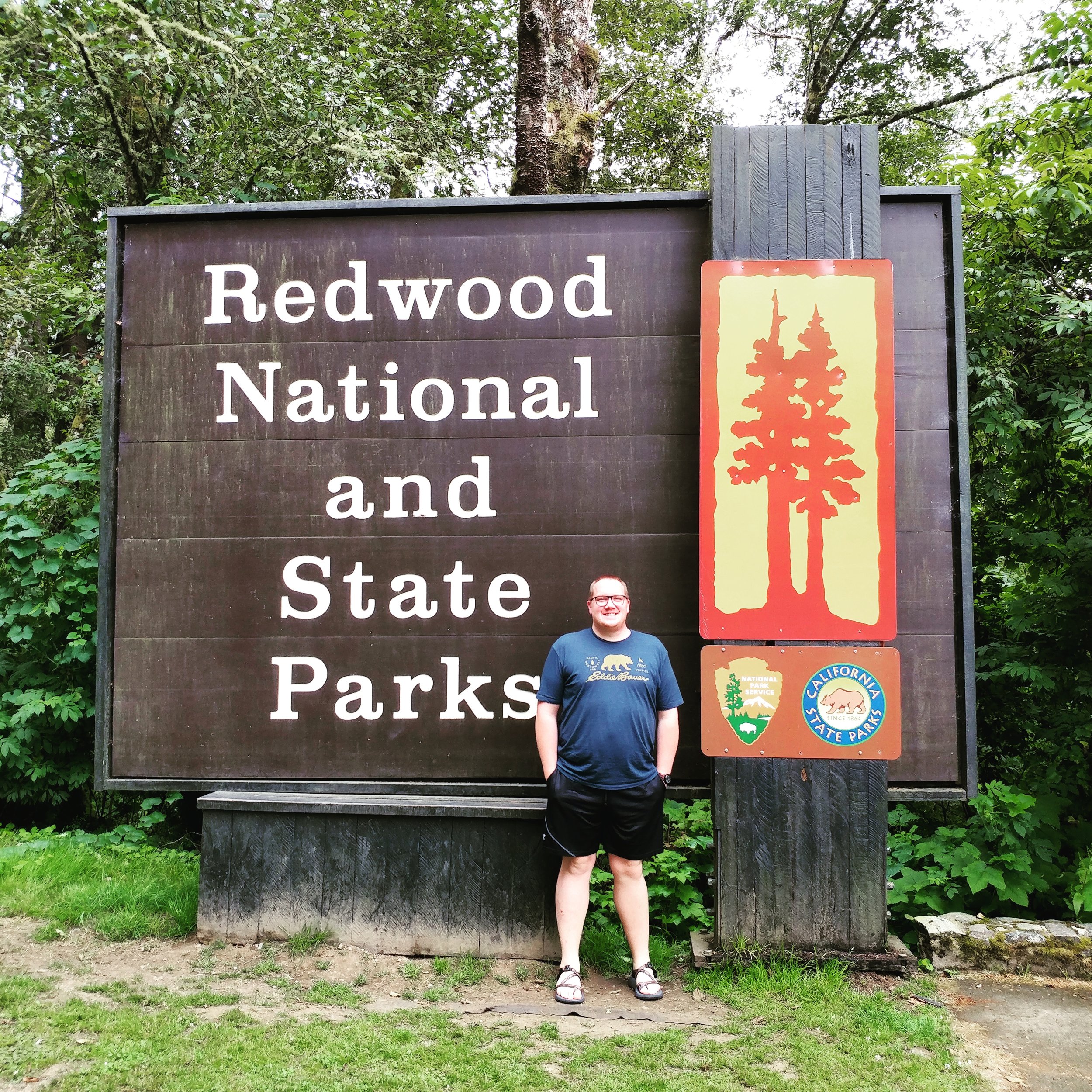
The trip was quick, the trails were plentiful. The Redwoods always make me happy - even if we were just passing through. I was on a trip with my other half, driving back to Texas from Portland and we decided to detour through the Redwoods. We only had a few minutes to stop, so we did a quick mile-mile and a half of two trails near the north end of the Newton B. Drury Scenic Parkway. The air was cool and wet, the fog was heavy in parts, and the trees were majestic as always. I think of these trees often, at least weekly, and to have the privilege to see them this year again was simply the best. Here's to hoping for a visit again next year.
I know this is a short hike, again, but with the time constraints and wanting to see as much as possible in 3 days, we opted for short bursts of hiking. We hiked some paved paths in Sequoia & Kings Canyon National Park as well, probably bringing the total over two days to over two miles. I'll save those experiences for another blog, another time.
#hike31 - Dinosaur Valley State Park
Date: 8/5/2017 Placed: Dinosaur Valley State Park - Glen Rose, TX
Distance: 5.5 miles
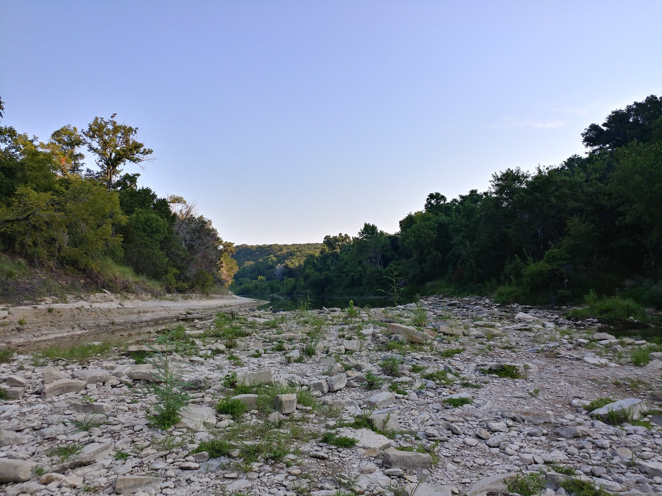
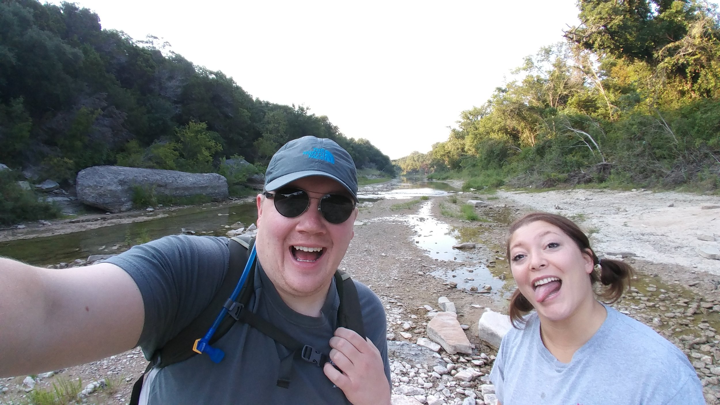
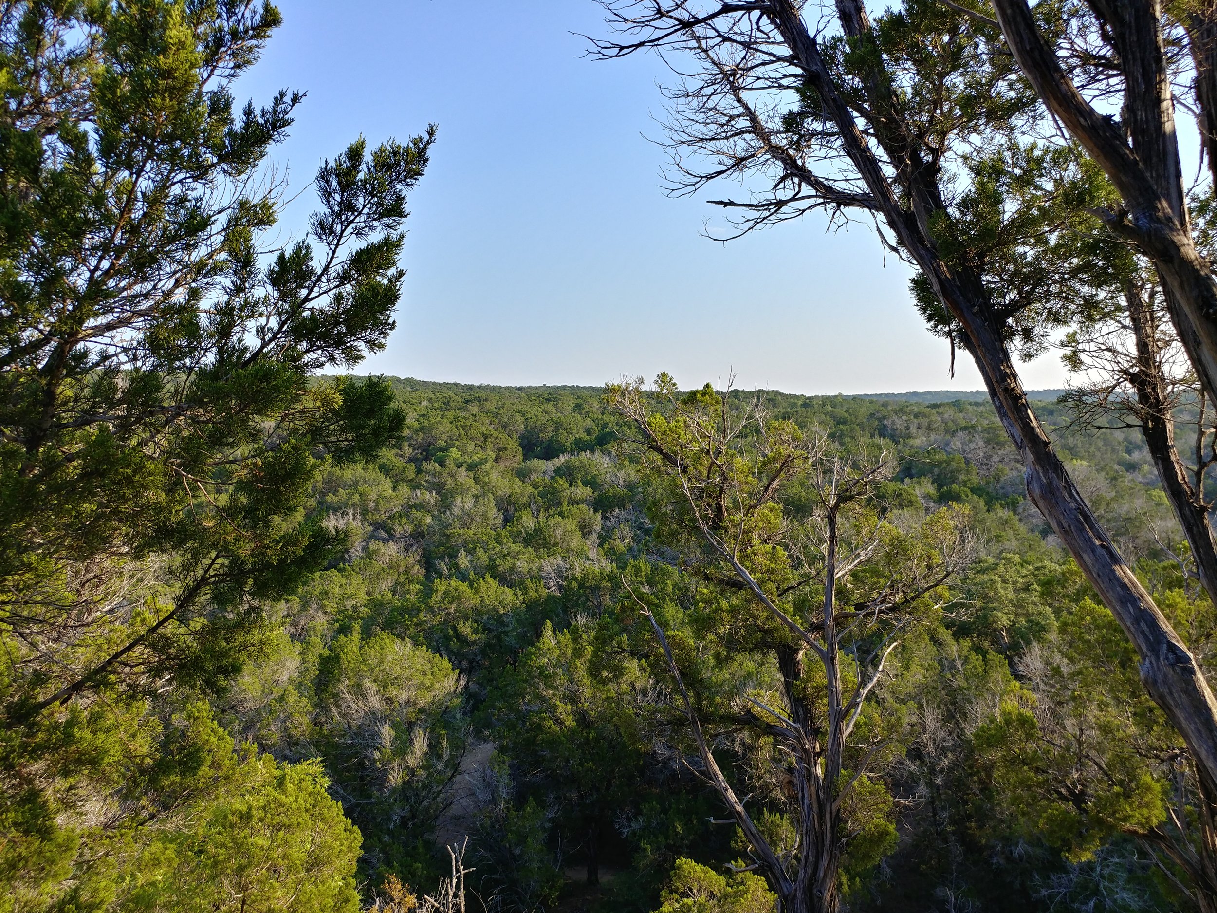
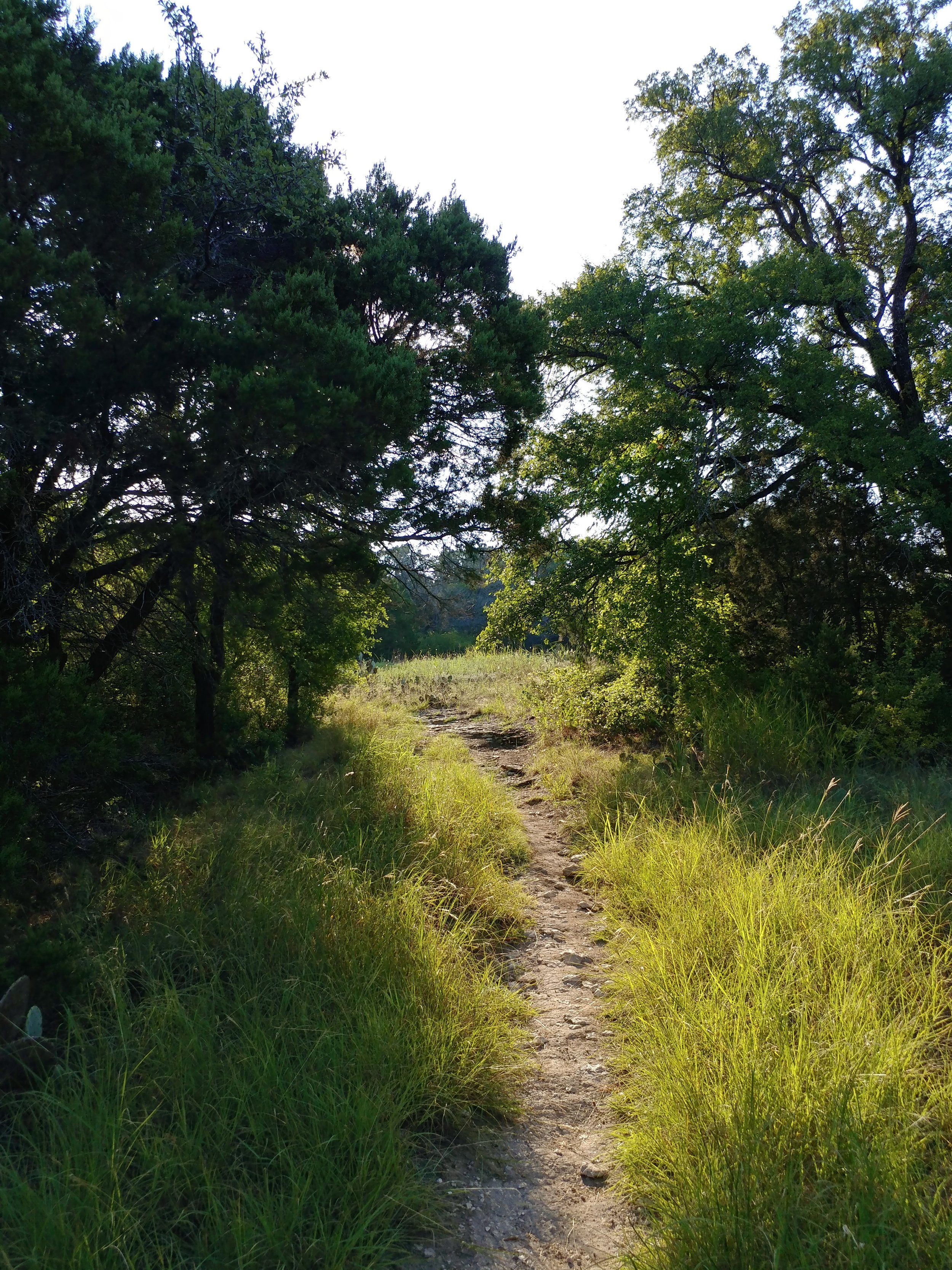
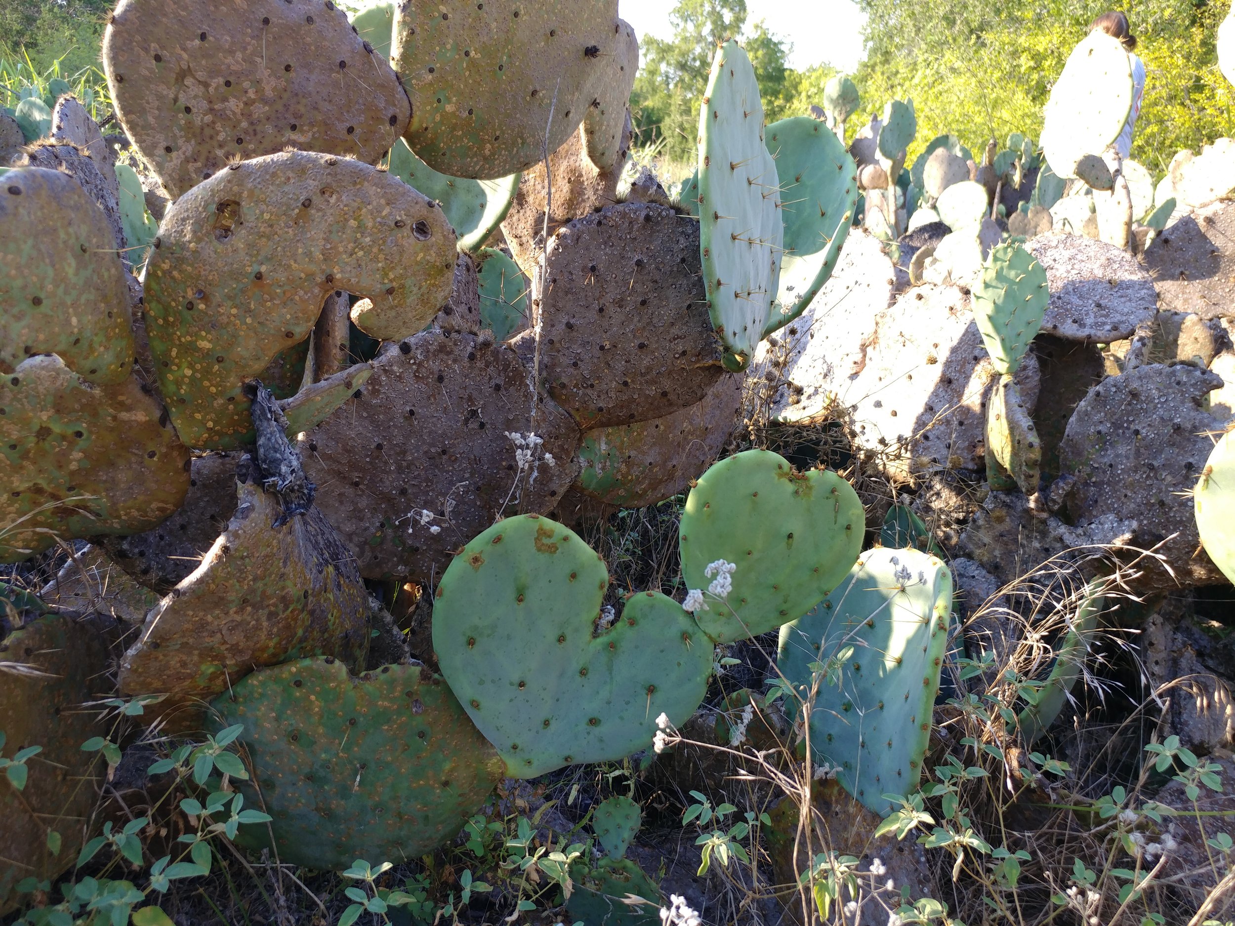
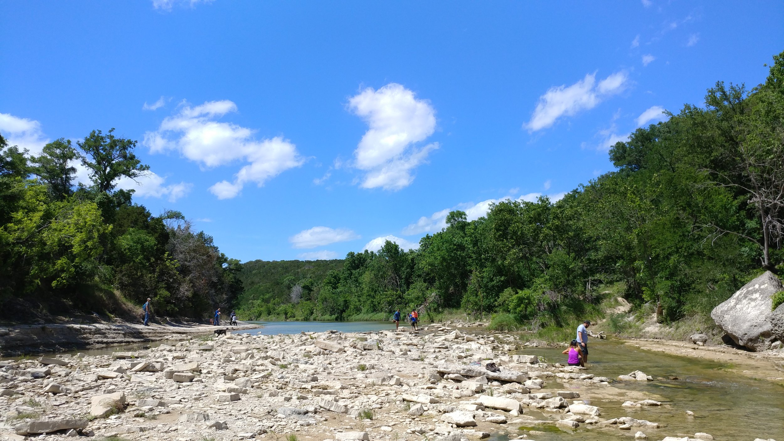
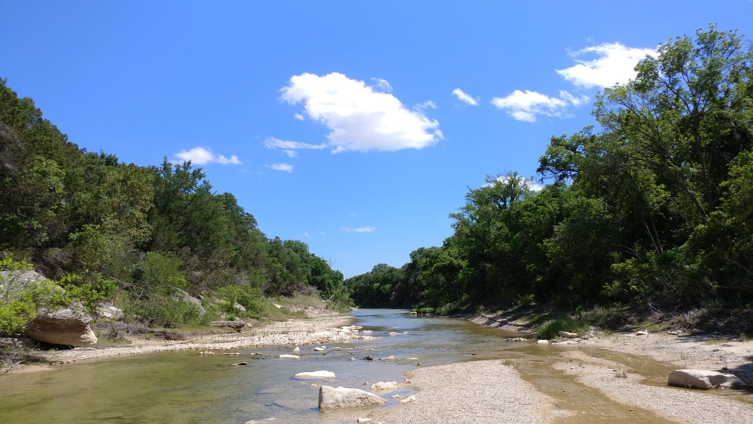
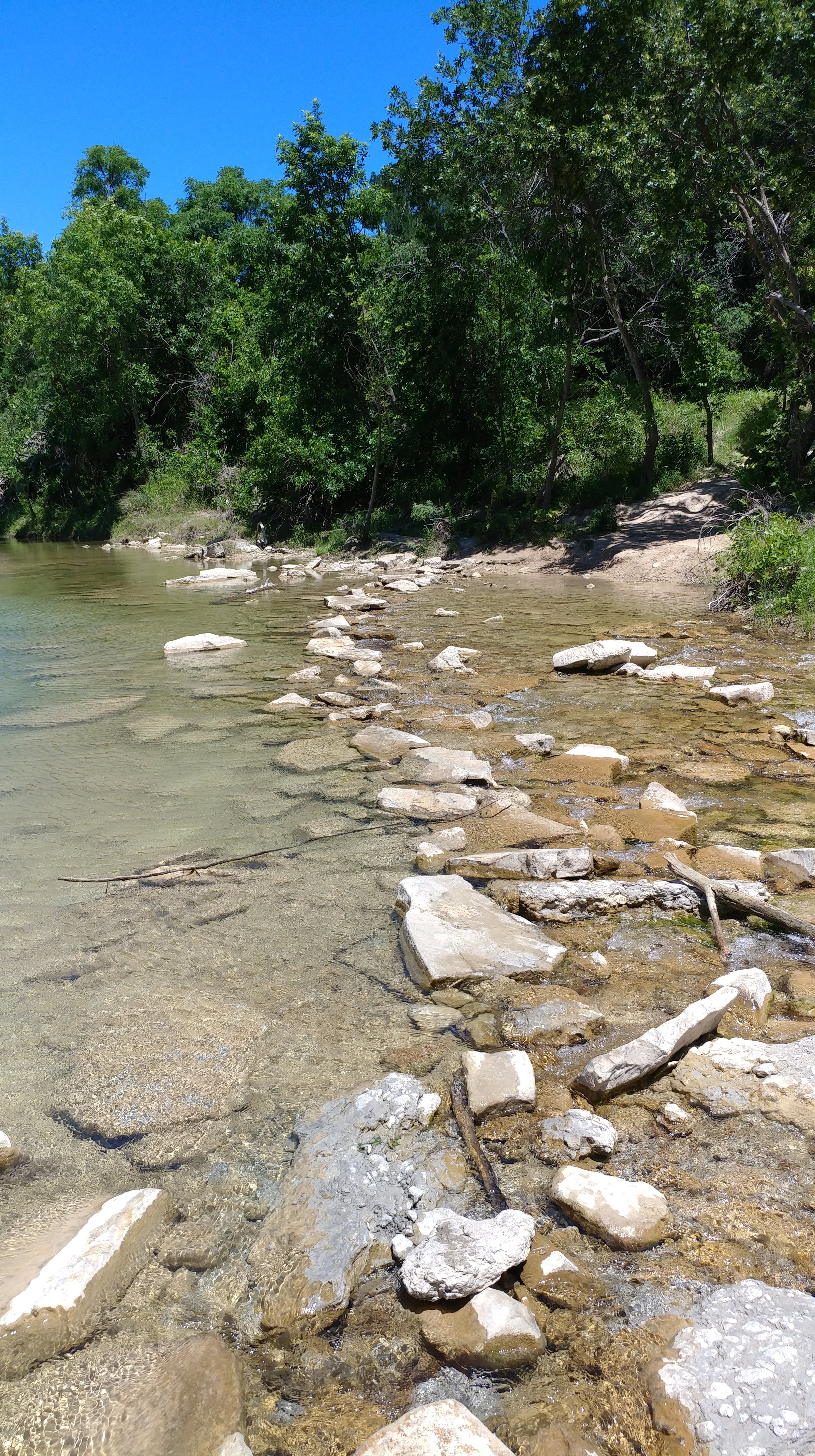
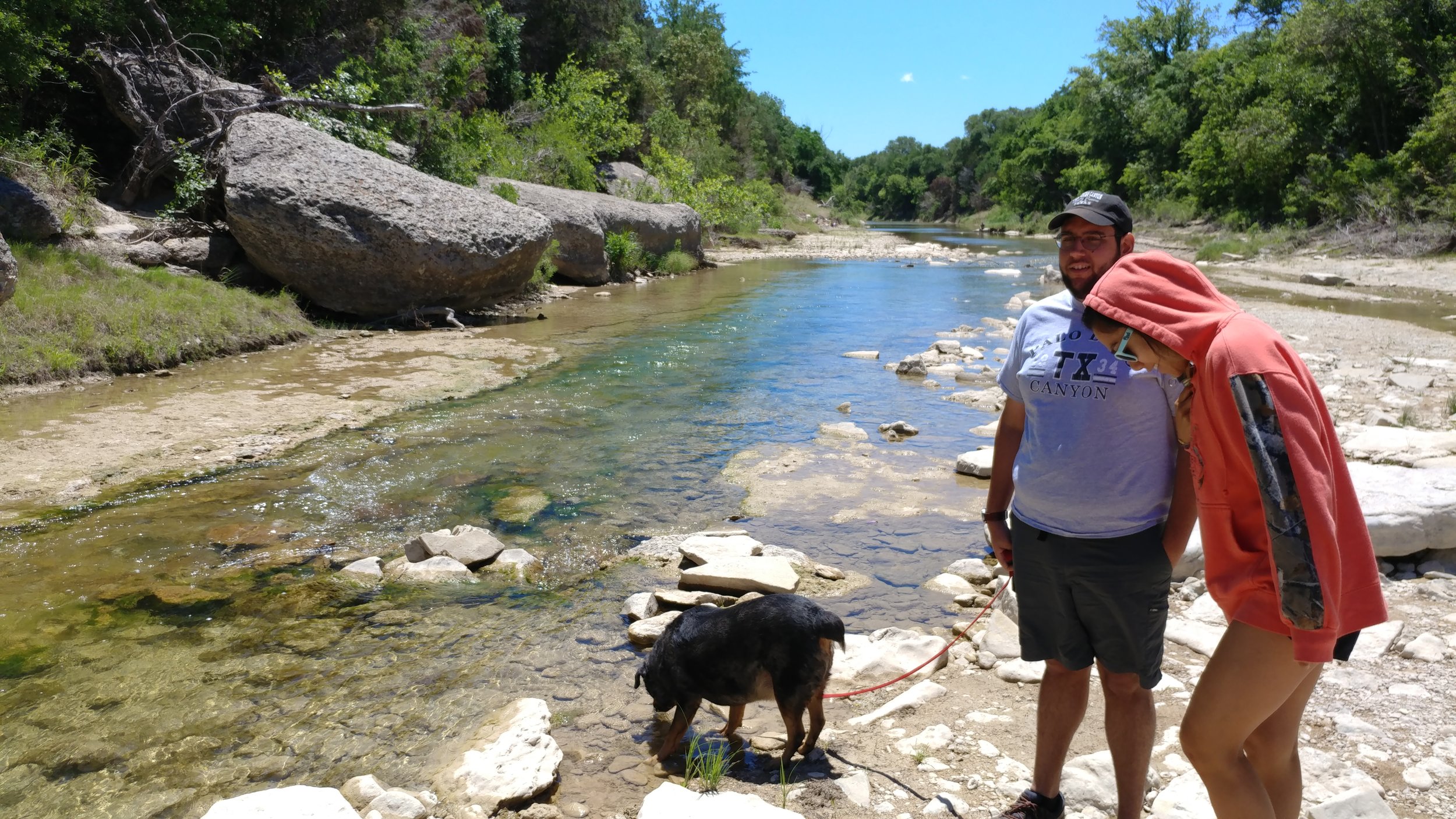
This week I met up with my friend and we drove down to Glen Rose. Dinosaur Valley is one of those parks that I love revisiting. There are plenty of trails, they're rarely crowded, and there's a lot of shade. We arrived around 8 am and there weren't many cars or people anywhere really. We parked, geared up, gathered extra water, and set out. The river was very low, almost just a trickle, and getting across was easier than other times. My friend Nikki explained what Bull Nettle was and why I needed to avoid it as we passed several of them on the way up in elevation from the riverbed. We were the trailblazers - clearing the spiderwebs at every turn. The horse flies were terrible, but I don't think I had that many bites overall. The temps stayed low, the humidity burned off, and the sun was mostly shielded by trees and bushes. All in all, it was a great way start Saturday and a great way to work off Friday night.
#hike30 - Cedar Ridge Preserve
Date: 7/30/2017 Placed: Cedar Ridge Preserve
Distance: 2.91 miles
I had grand plans to head to Oklahoma this morning to hike but my exhaustion and the appeal of sleep won. The plan was to wake up at 3:00a and leave by 3:30 to arrive at the trail head about 7. I bargained, stretched the alarm to 4:00a and still couldn't seem to get motivated. The next time I looked at a clock it was 10:00a and I was on to plan B - my standby, Cedar Ridge Preserve here in Dallas. We finally got to the trail around noon, and today wasn't as hot as it has been. The humidity was mid range and the temperature hovered around 88. We did Cedar Brake trail and went home. Chewy the Dog did not hold up well and I felt bad enough. I could have gone on to circle back around on Fossil Valley or Escarpment, but that poor dog. All in all, another couple of miles. Next week, looking at Dinosaur Valley State Park as I'll be down in that area to visit family. In two weeks I'll be in Oregon, gasp, I know. In three weeks, I'll be in Utah, double gasp. I'm honestly feeling so lucky this month. I'm trying to set up things for next month to include finally going to Oklahoma, maybe the Olympic Peninsula, and maybe Michigan. Here's to hoping!
Enjoy a few photos from today.
#hike29 - Cedar Ridge Preserve
Date: 7/22/2017 Placed: Cedar Ridge Preserve
Distance: 2.91 miles
My friend wanted to hike, so I wanted to show her Cedar Ridge as it's one of the nicest places within the city limits. We went, did Cedar Brake and a little of the Cattail Pond trail and had to head out. It was nice to get back into the local swing of things and I'm looking forward to Fall when the temps go back below 80.
This hike wasn't too long, and I really am working on getting for longer distances...
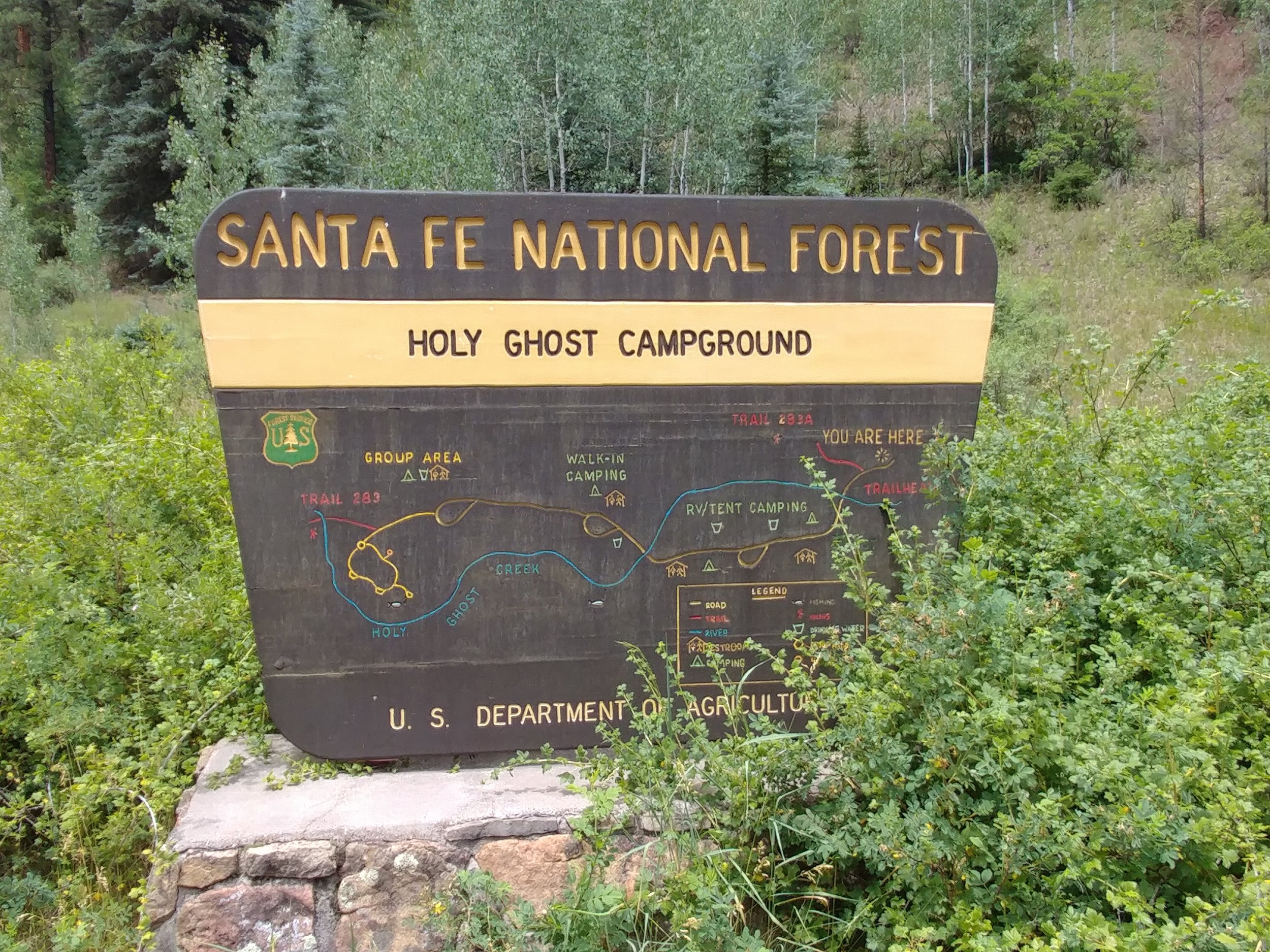
#hike28 - Santa Fe National Forest
Location: Holy Ghost Campground & trail area - Santa Fe National Forest Distance: ~2-3 miles
Date: July 15, 2017
On a whim, we decided that Santa Fe National Forest was the place to go for the weekend. We (my other half and I) had been toying with the idea of going somewhere to escape the annoying Texas heat, but had no concrete plans until Friday night. We went to Target and bought supplies, pulled the gear out of the closet, packed the car, and took a nap. Waking around midnight, I packed the cooler and we were off towards New Mexico!
We arrived around 10 am to the area, with a campground arrival around 10:30. We took the last open spot, met our neighbors, and set up camp. The site was open, sunny, and protected on the west side by a hill and tall trees. The campground was in a valley of sorts with tall firs and a mountain creek that could be heard from the tent.
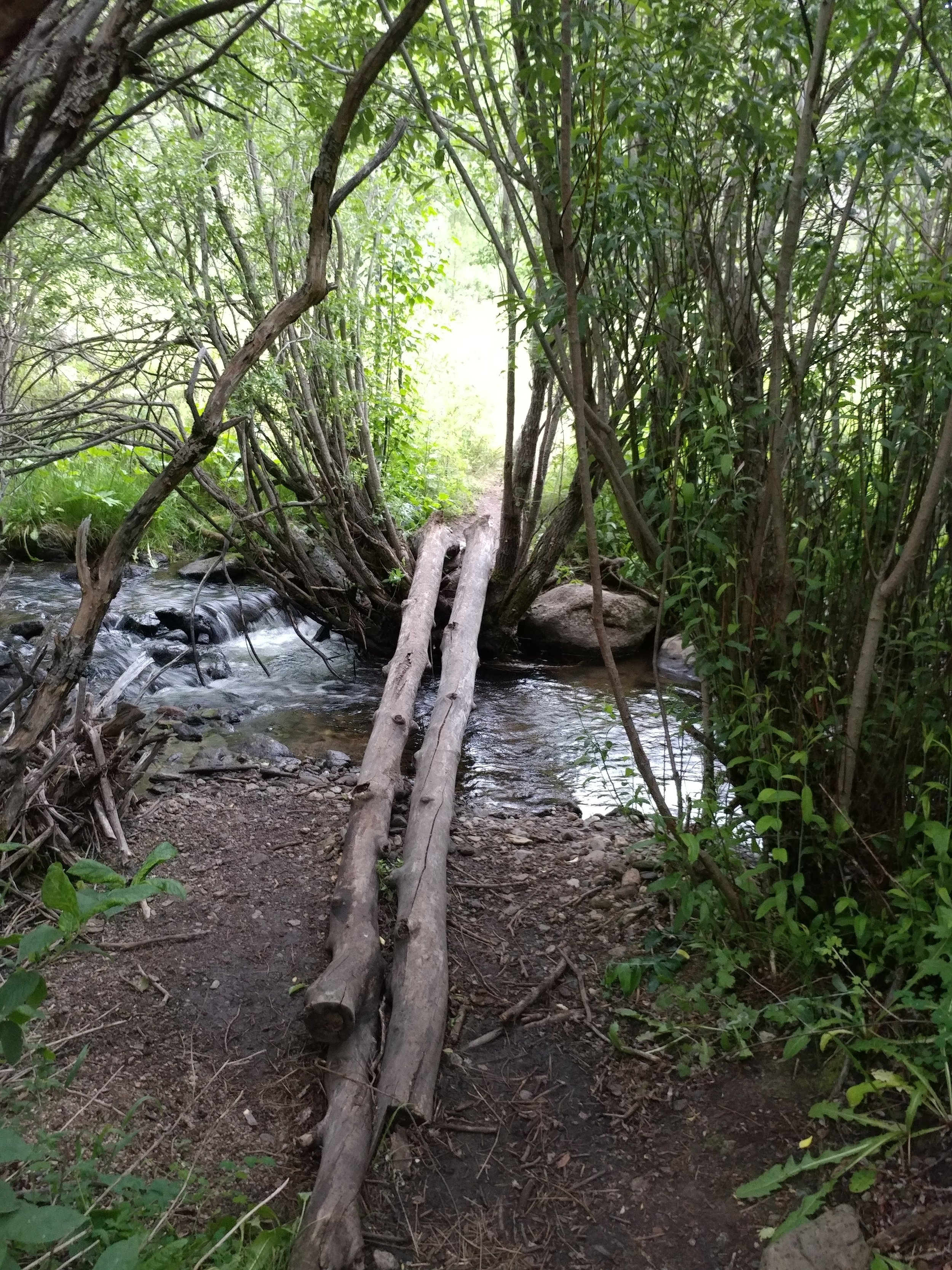
There are two trails - Trail 283-A and 283. We attempted 283-A, but only went about a mile overall in and out. It was steep and we were exhausted from driving through the night. We napped. Later that evening, we walked down the road a bit and eventually made our way up to the group camping site and the trailhead for 283. We took that, crossed the creek, and it was a very promising trail until the rain got heavier. We eventually turned around and headed back to the site. We got back to the tent just in time for heavy rains that lasted the next hour.
This wasn't the longest hike, but it was bits and pieces of greatness. I will be back to explore this place further. Hike #28 lived up to the ideas behind this challenge - to get out, to hike, to clear my head, and to enjoy life. There are a number of trails and campgrounds throughout the Santa Fe National Forest, and surrounding forests, that I feel I could go here once a month and see something new for a long time.
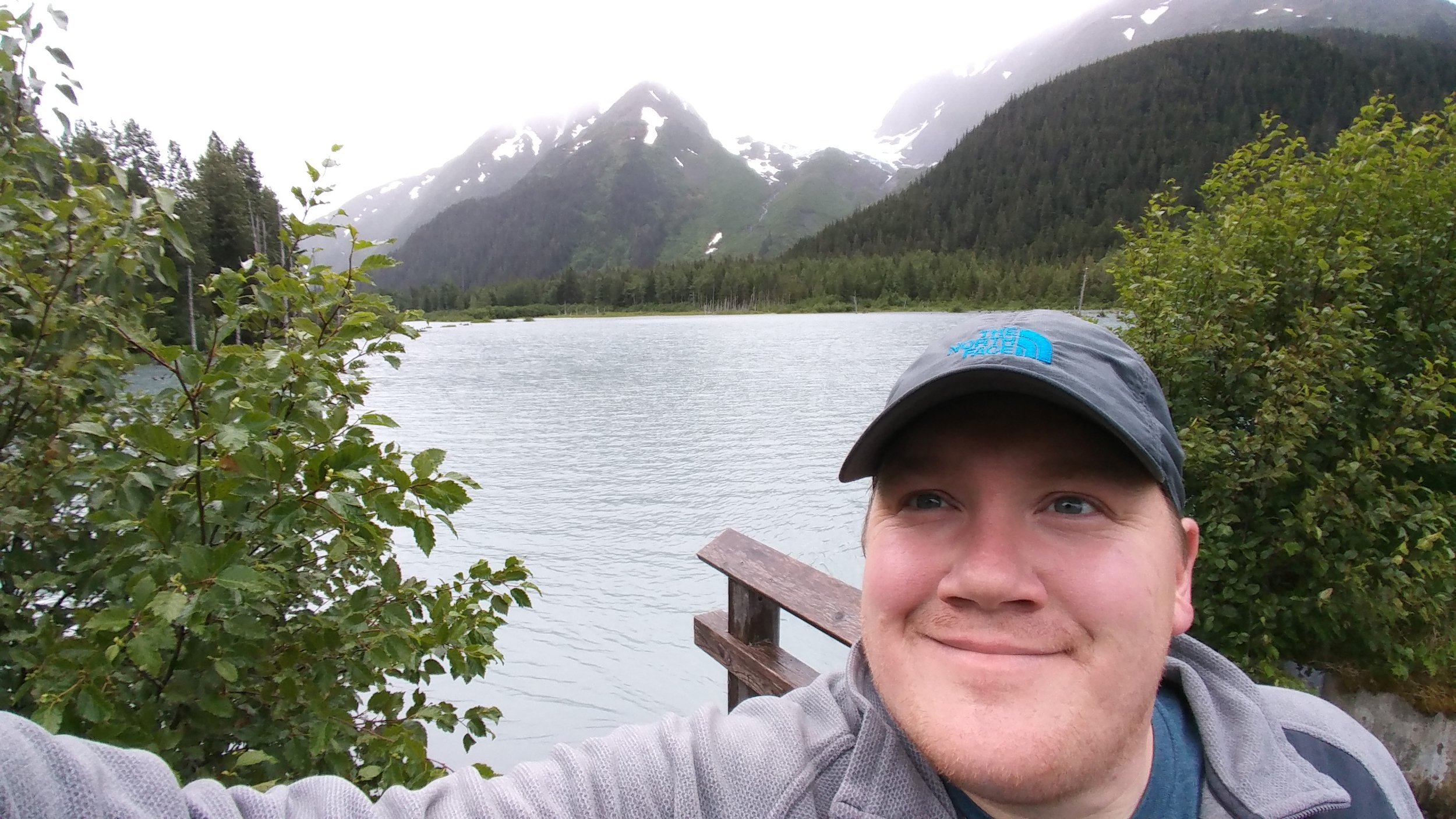
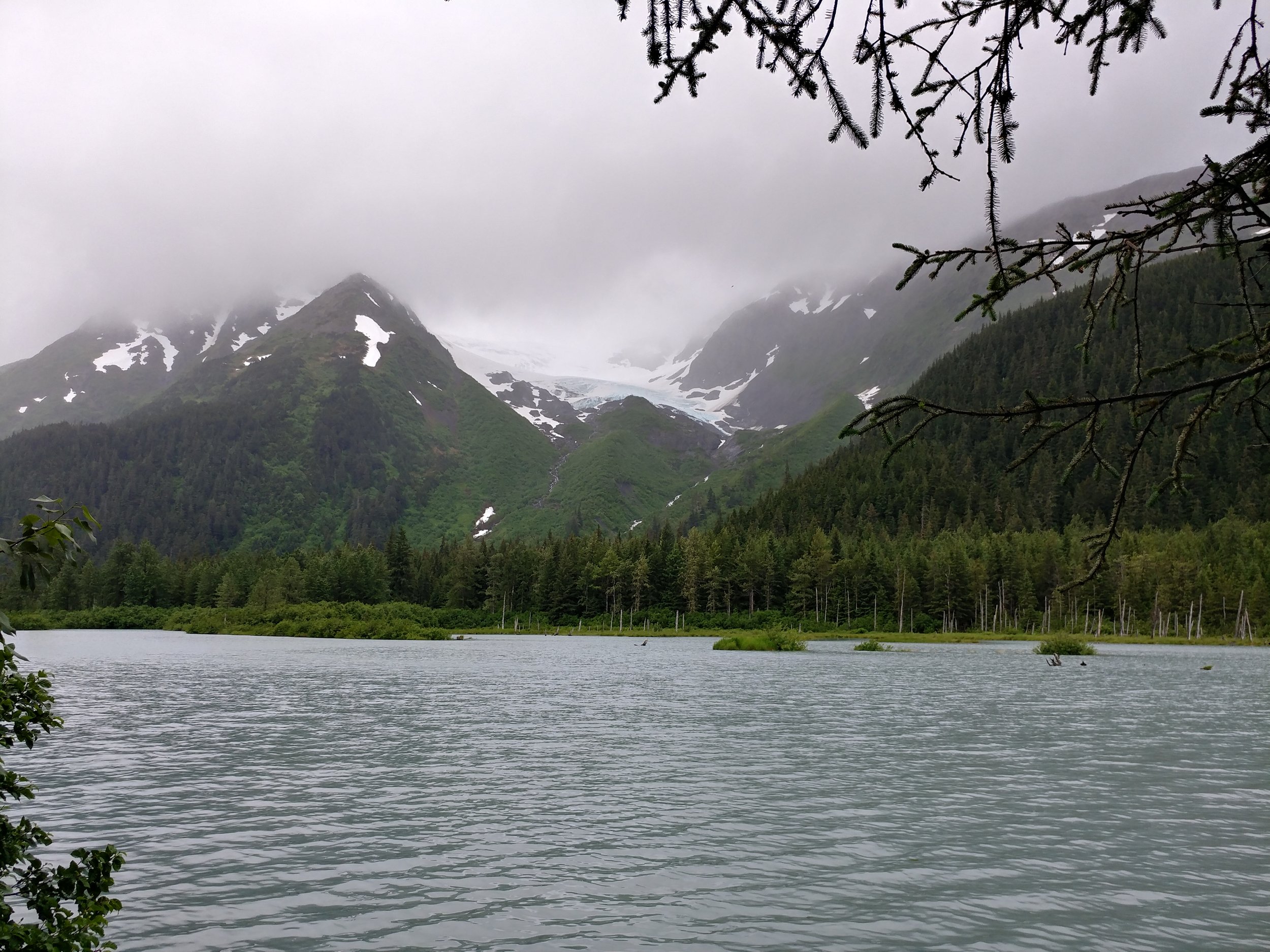
#hike27 - Trail of Blue Ice, Chugach National Forest
Location: Portage Glacier area, Chugach National Forest Distance: 4.75 miles
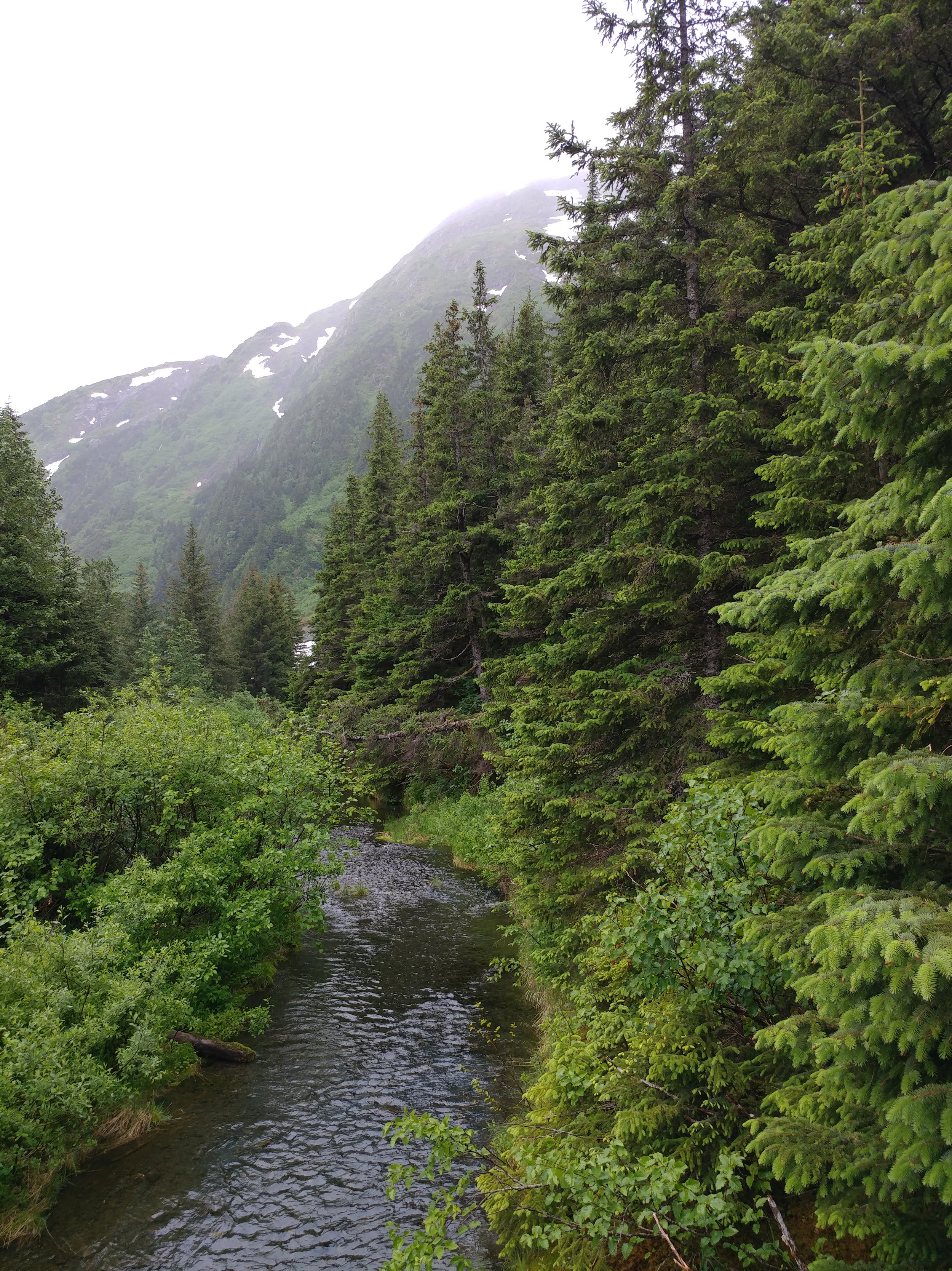
I got bored one evening, around 6 or 7 o'clock local time and decided I needed to fit in another hike. I left our campground and headed east on the US Forest Service trail that follows Portage Glacier Road and eventually turns into various campgrounds. It winds through the woods and valley providing scenic views and plenty of alone time.
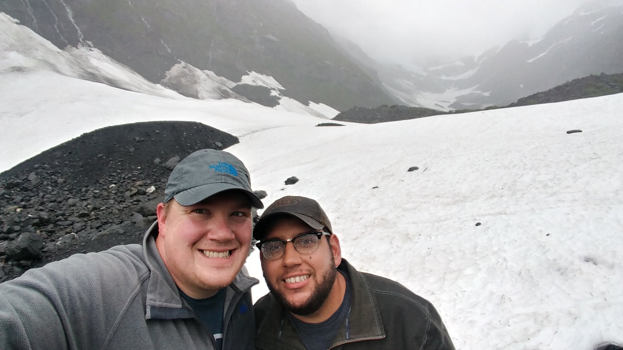
The trail was easy, but it was still raining. Here are some photos!

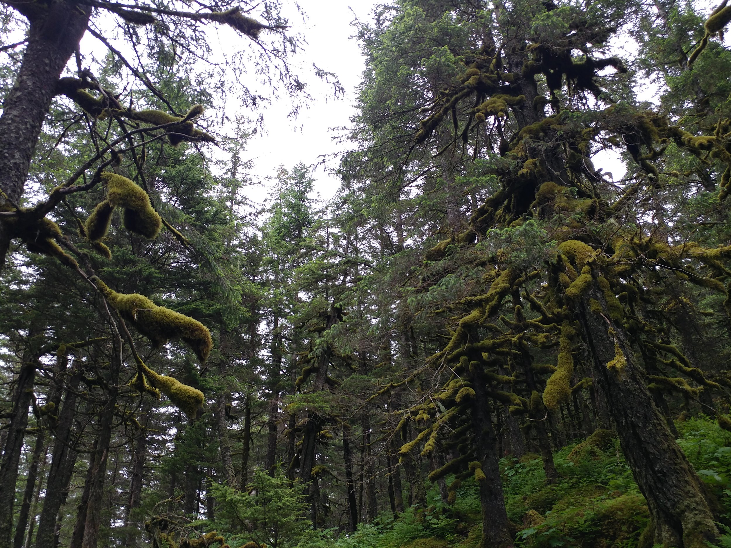
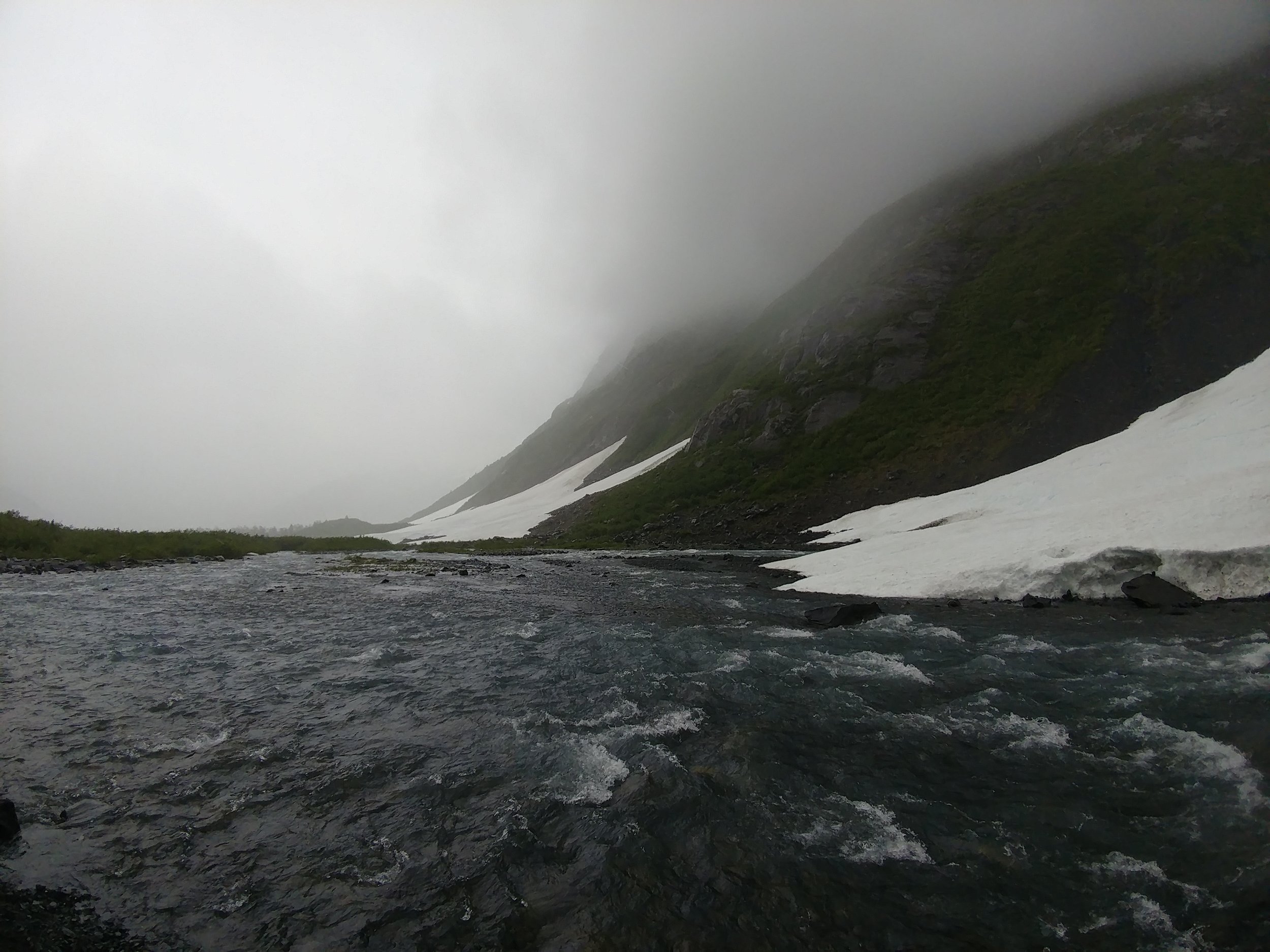
#hike26 - Byron Glacier Trail, Chugach National Forest
It was a rainy, rainy day but we decided to go see another glacier because when in Alaska it's what ya do. Location: Portage Glacier area, Chugach National Forest
Distance: ~2 miles
This was another easy hike, with a maintained trail. As mentioned, it was very rainy and a little windy. The sky was gray, the trees were green, and the glacier glowed with blue spots.

#hike21 - Cedar Mountain Nature Preserve
Date: 5/29/2017 Location: Cedar Mountain Nature Preserve (Dogwood Canyon Audubon Center)
Distance: 2-3 miles
I started out with intentions of going to Cedar Hill State Park for a hike on the DORBA trails and maybe the Duck Pond trail... I got to CHSP, was told the trails were closed, and left kind of bummed out. I didn't have cash in the car for Cedar Ridge Preserve so I drove down the road and saw Dogwood Canyon Audubon Center and remembered reading that there was a trail there. I had to go turn around then do a U-Turn, but I finally made it to the parking area. I set off, not knowing much about the trail and was quickly delighted. After an initial portion of the trail near Belt Line road, it went uphill and into the woods. For the most part, the entire trail was shaded and cool. It was probably just over a mile to the loop and I did the loop again to take it all in. All in all, I think I did about 2.3 miles - Google Fit kind of messed up and had a GPS error so it said WAY more than it was. It's a nice, light and easy trail for anyone!
#hike17 - Dinosaur Valley State Park
Date: April 30, 2017 Time: 12:30
Place: Dinosaur Valley State Park
Distance: 4.5 miles
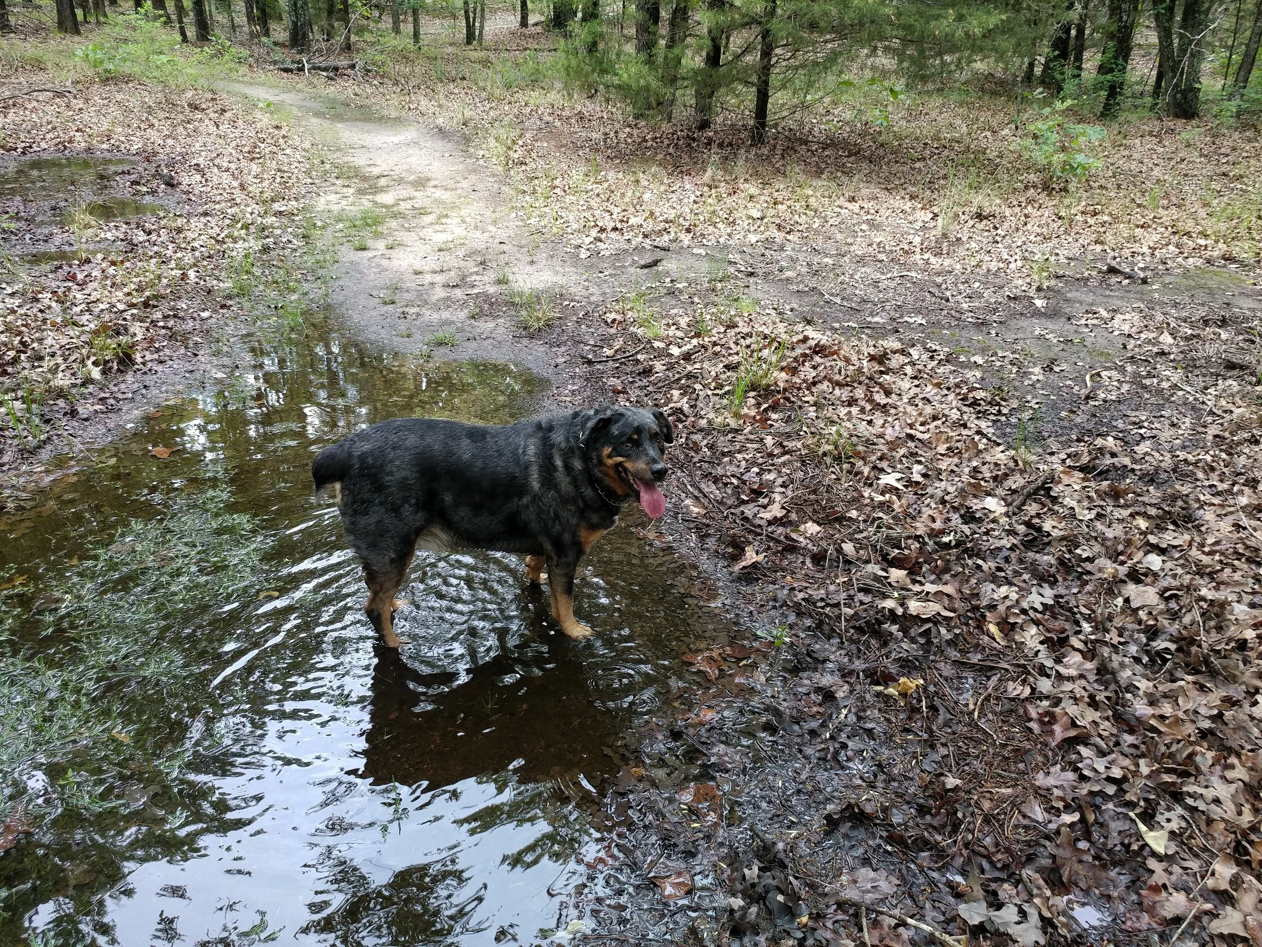
Today, instead of our regularly scheduled hike, we picked up a friend and my aunt and headed down to Dinosaur Valley State Park in Glen Rose, TX. It was a very cool 70, it was windy, and the sun was shining. We did the Black Capped Vireo Trail, Overlook Trail, and the Paluxy Trail. All in all, the terrain was moderate. We arrived shortly after a mountain bike race, and had to deal with some of the after effects including a few bikers, and various confusing trail arrows. We would have loved a warning from the front gate about the mountain bikers, but all in all it wasn't that bad. The river was flowing, but it was low, so crossing to the trails weren't that bad. Chewy the dog had a good swim hunting for sticks.
As far as my hikes go, I'm up to just over 86 miles after the hike today!
#hike16 - Lake Tawakoni State Park
Date: April 22, 2017
Time: noon
Place: Lake Tawakoni State Park
Distance: 5.53 miles
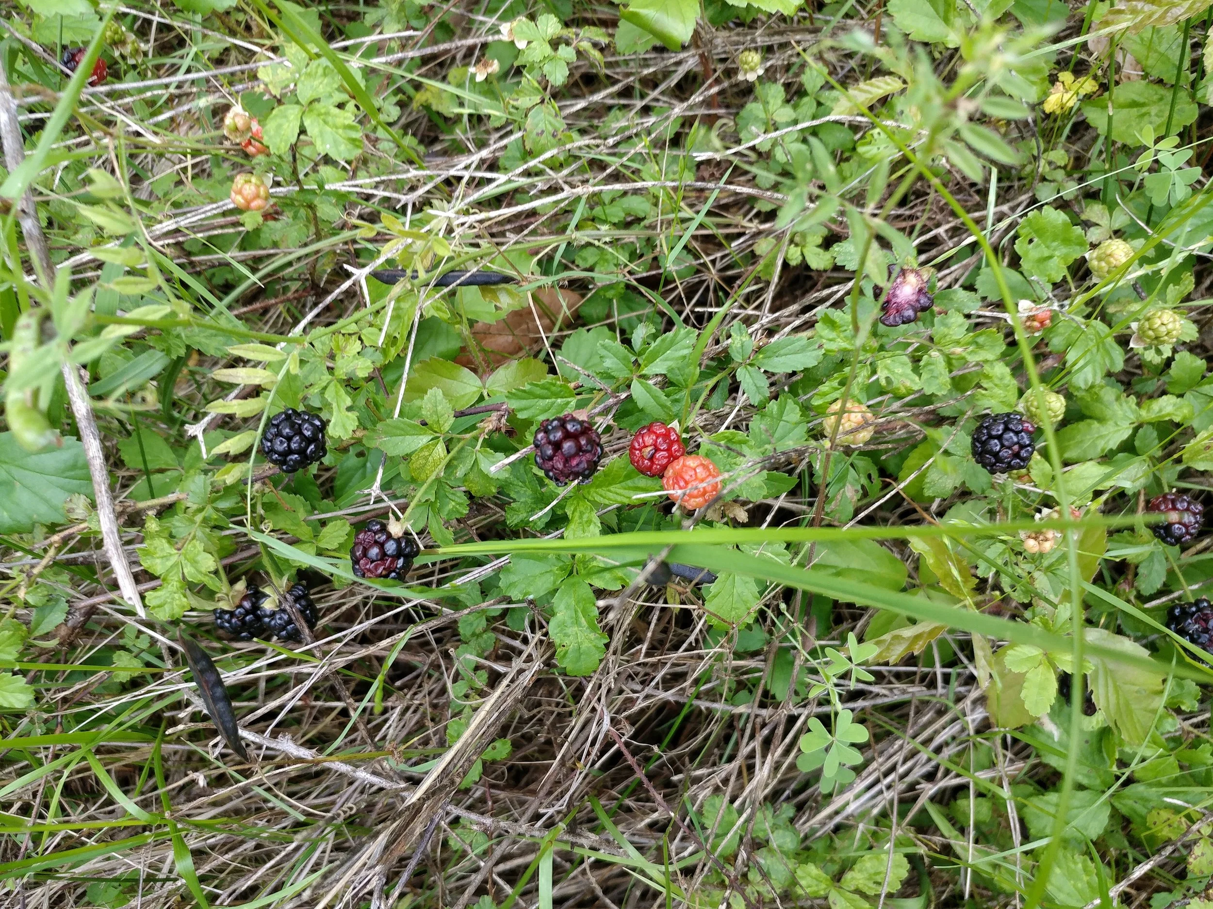
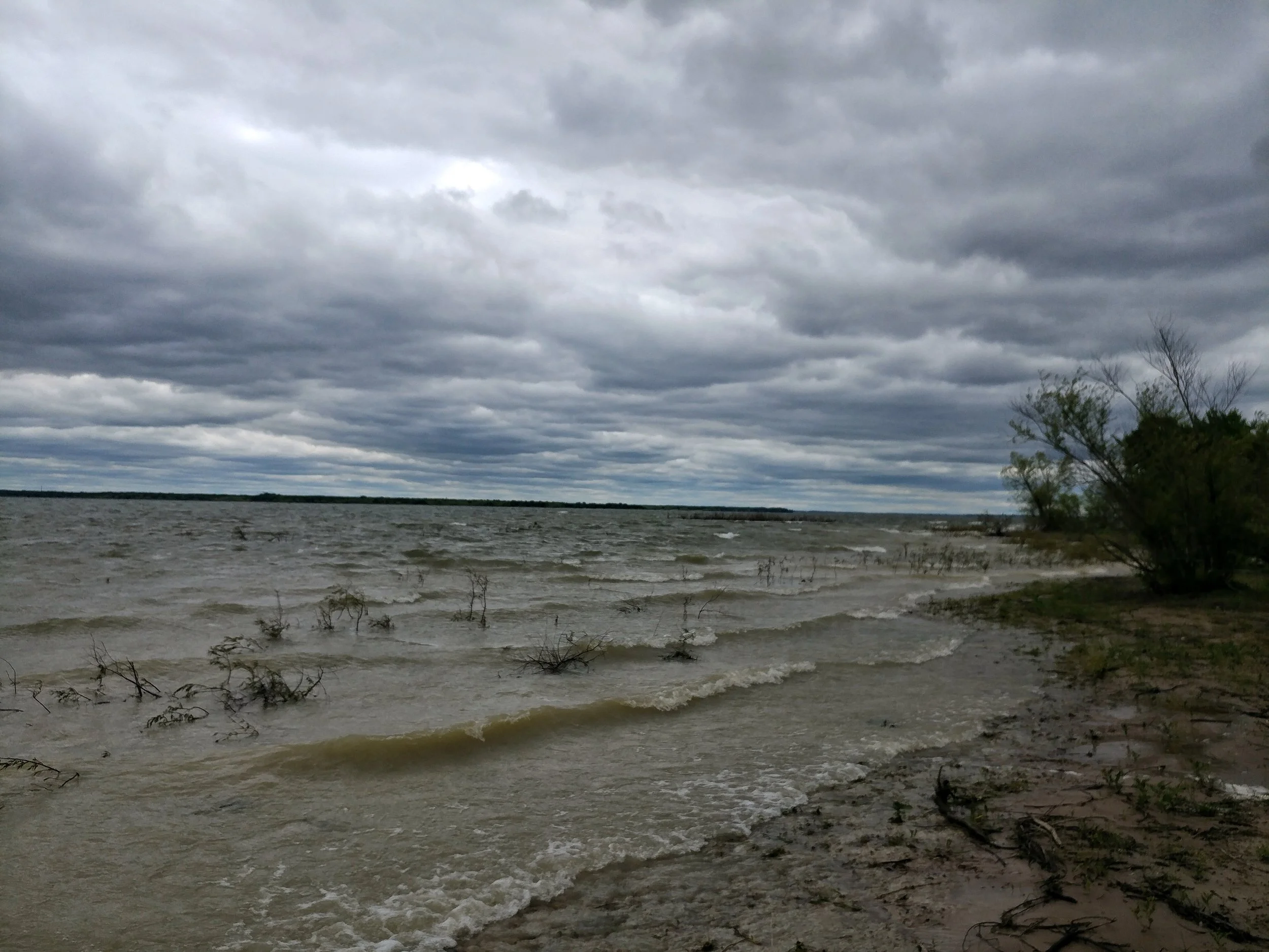
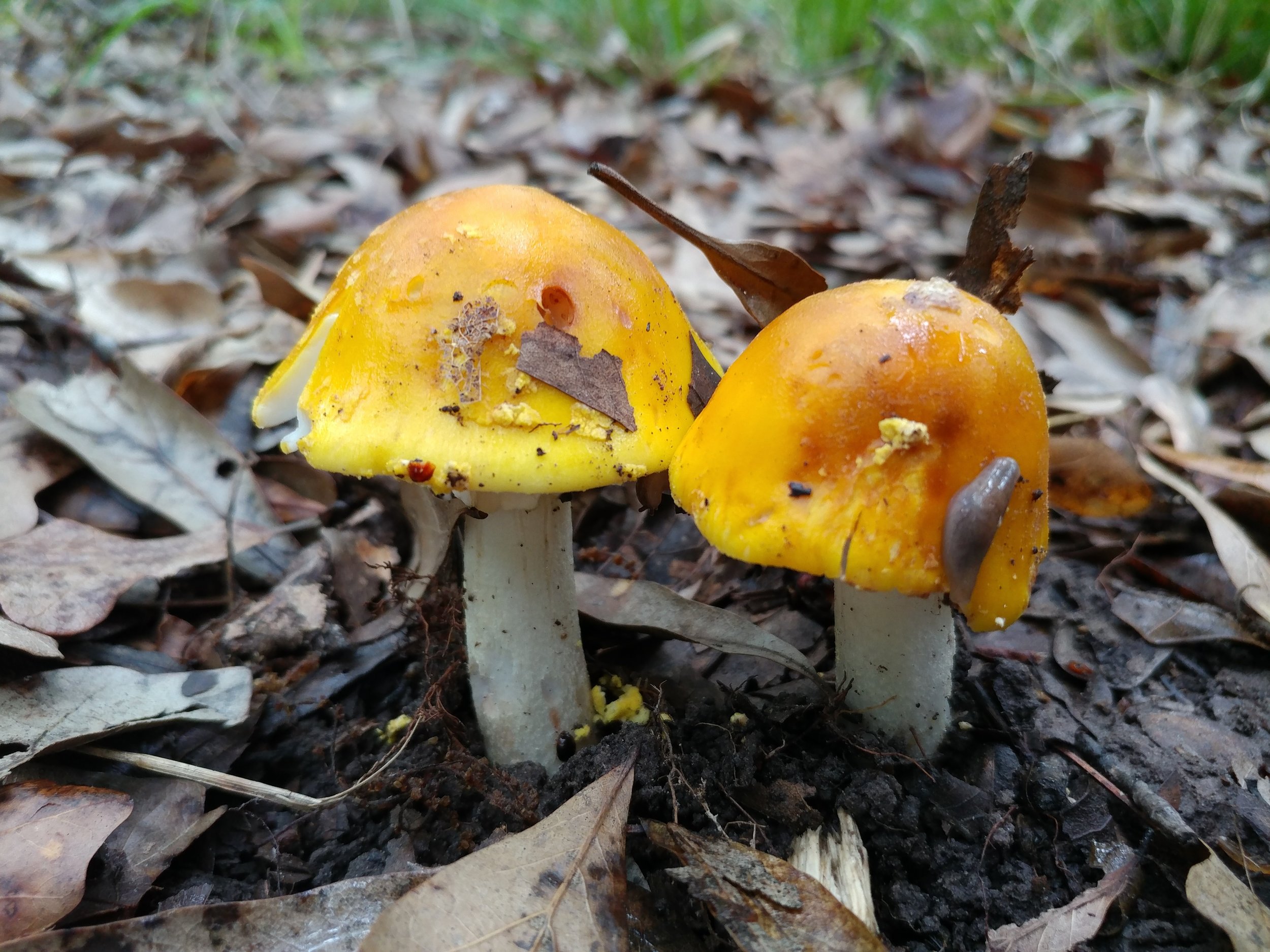
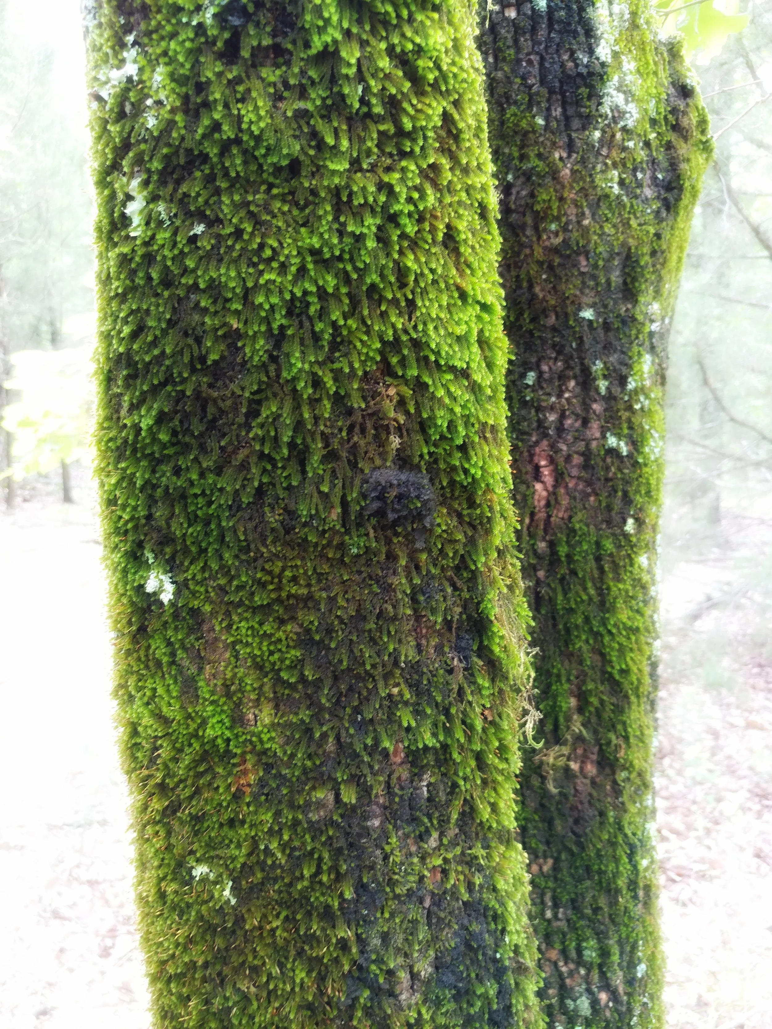
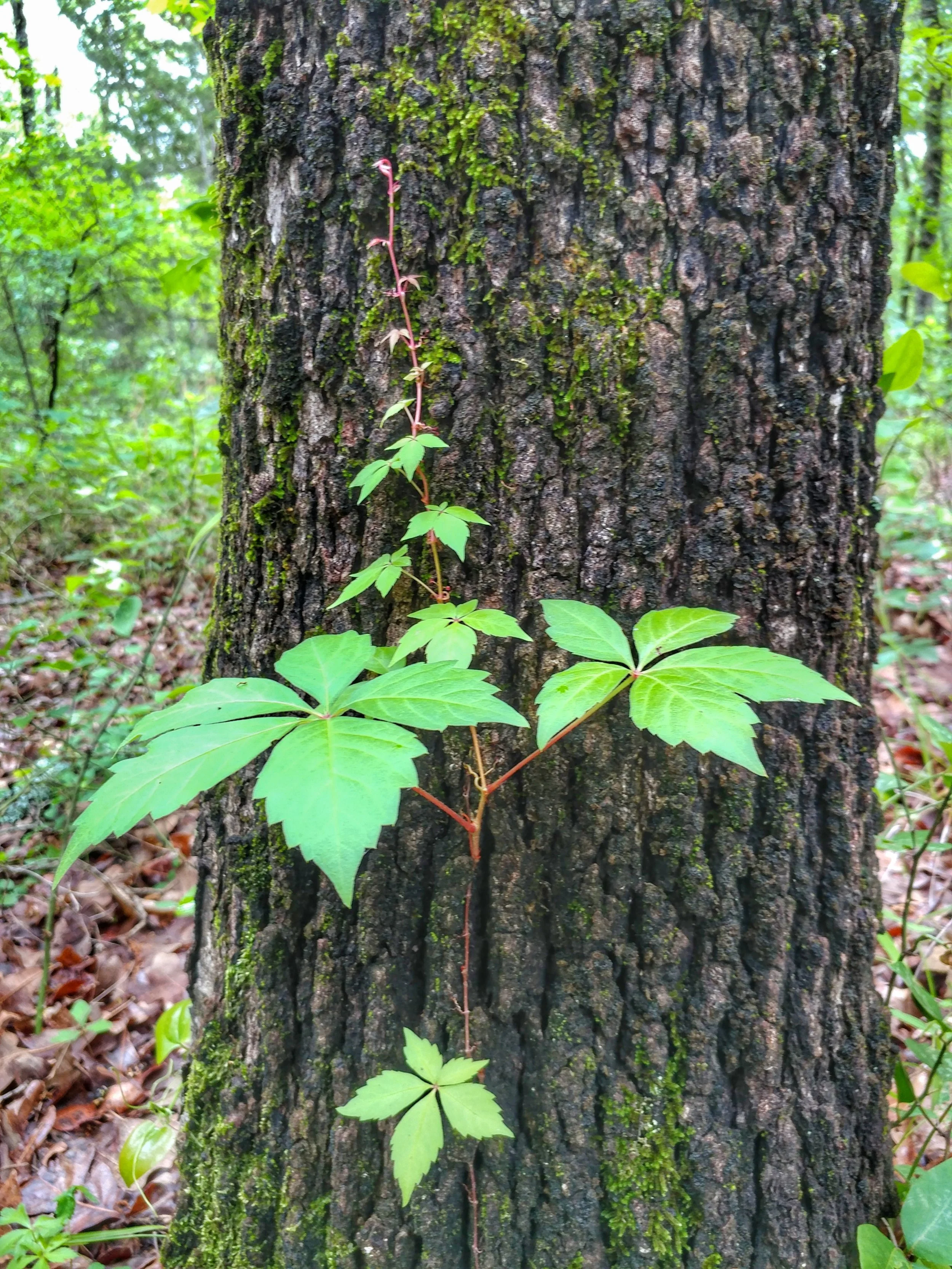
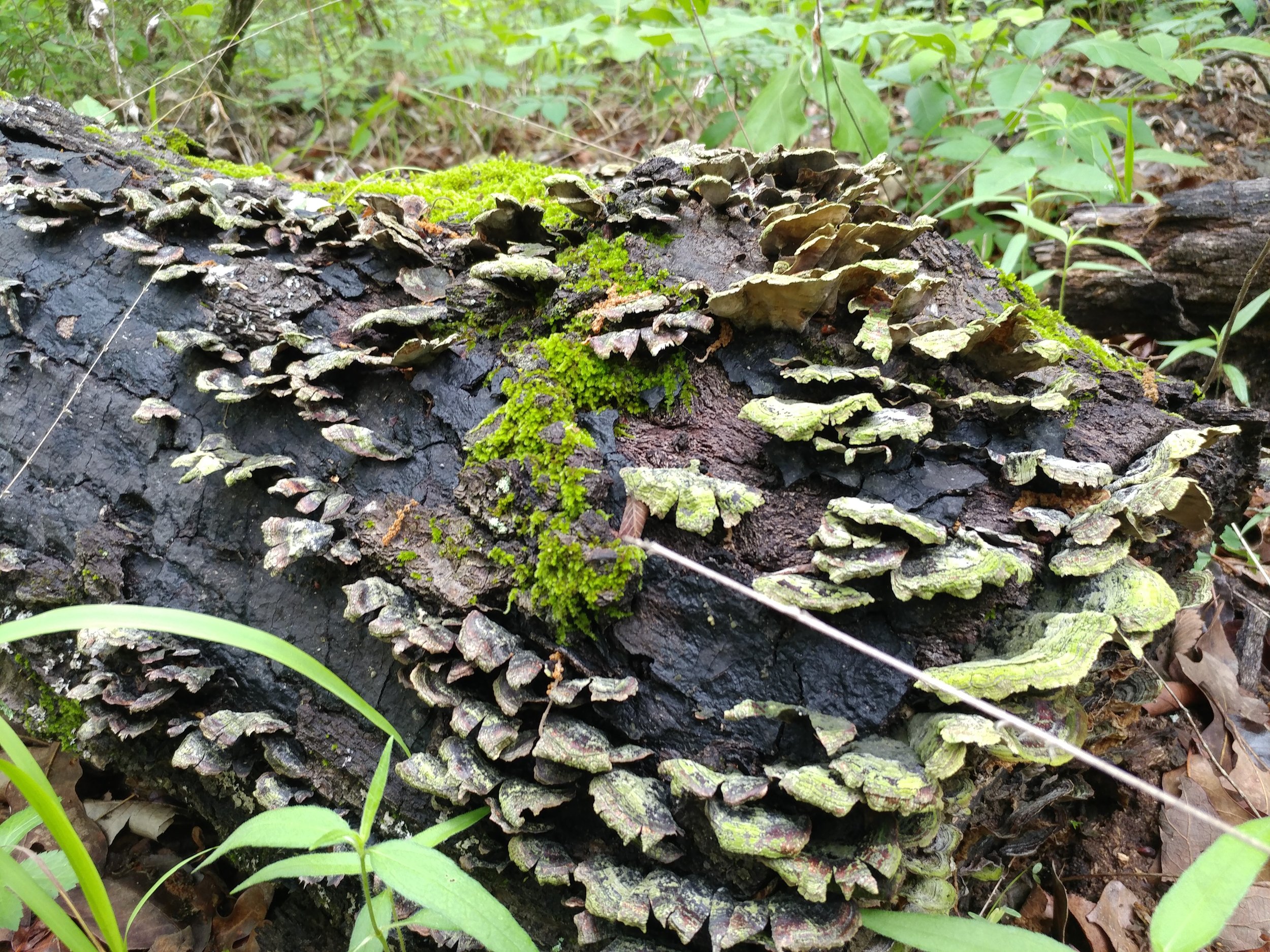
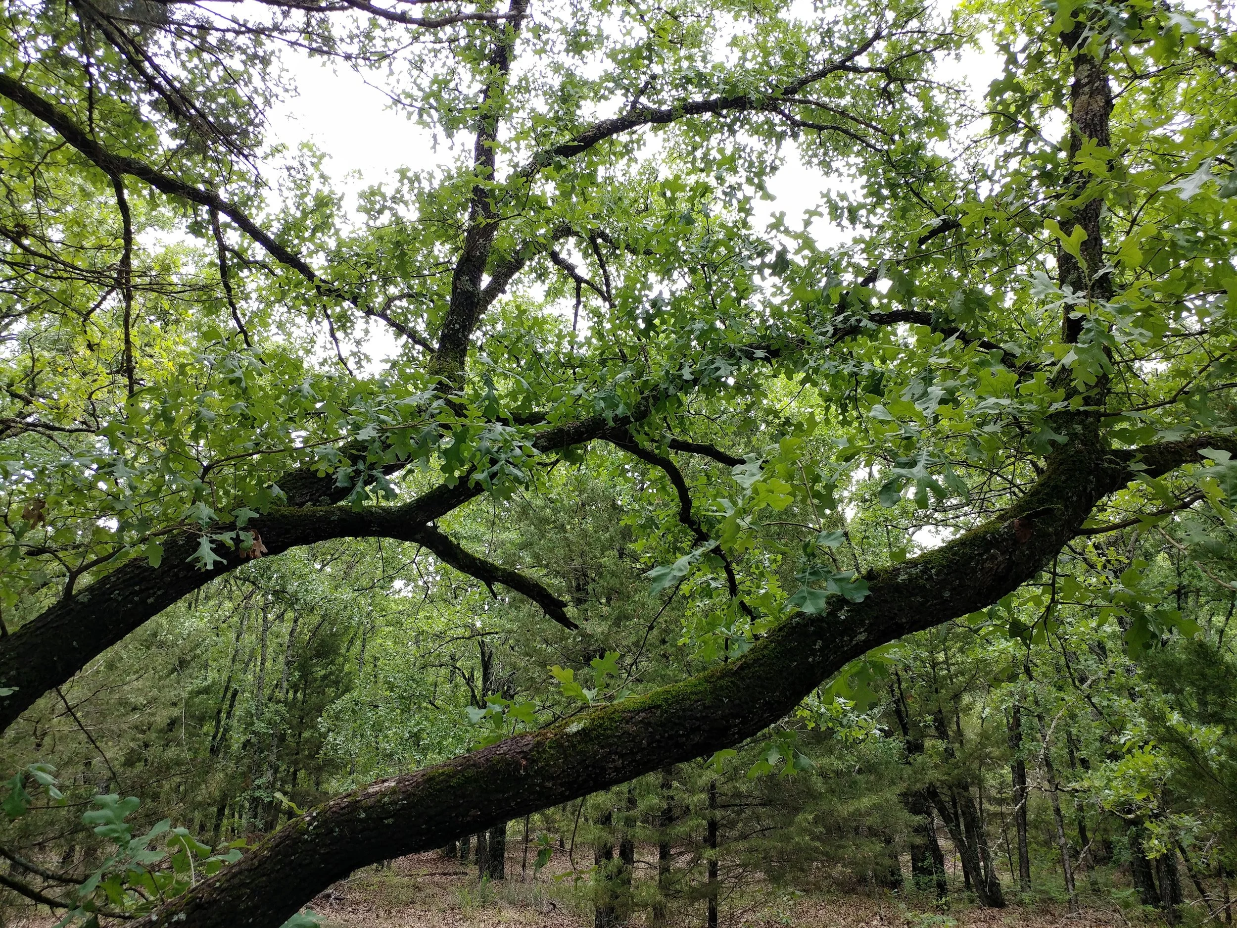
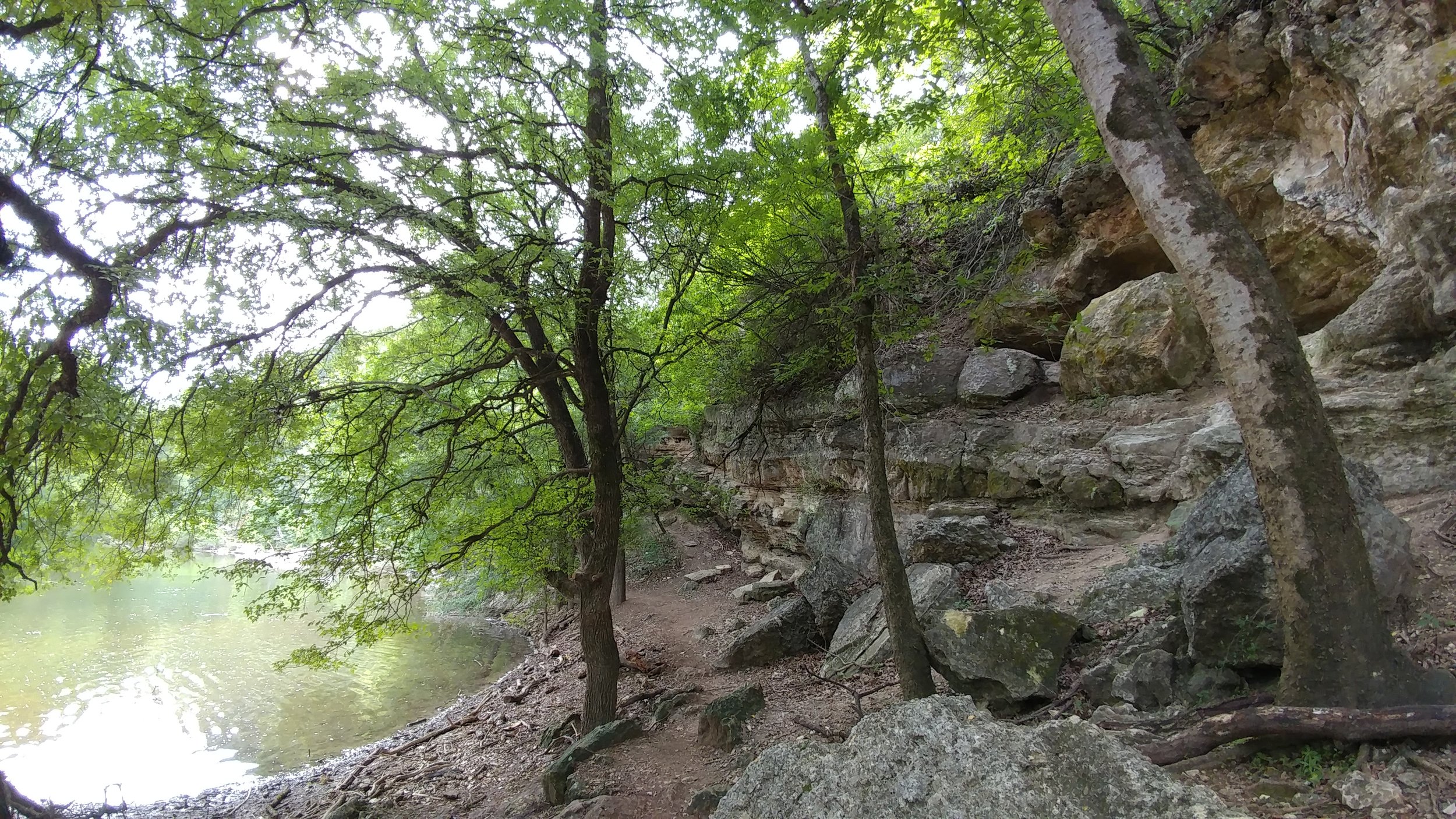
It was a dreary and cool day, but the hike couldn't have been better. My better half invited a friend and we set off to hike every trail! It rained the night before, so most of the trails were wet, but none were too soaked for our means. I wouldn't have mountain bikes them, but walking seemed fine and without damage to the trail base. We encountered so many different mushrooms, mosses, and plants. We dodged puddles and branches and almost blew away in the wind coming off the lake. On the Spring Point Trail we found wild blackberries, some even ripe enough to sample. What a great day! The only reason we did not do was the White Deer Trail. All in all, this place was great. The trails are in the woods with plenty of tree and plant variety to keep it interesting. The trails give glimpses of the lake and offer many points of interest. Some parts of the trails are as if you're walking through a tunnel of trees, very neat. Overall, this hike was relaxing, fun, and perfectly lovely for a gray day!
#hike15 - Barton Creek Greenbelt
Date: April 15, 2017 Time: Morning
Place: Barton Creek Greenbelt
Distance: ~2 miles
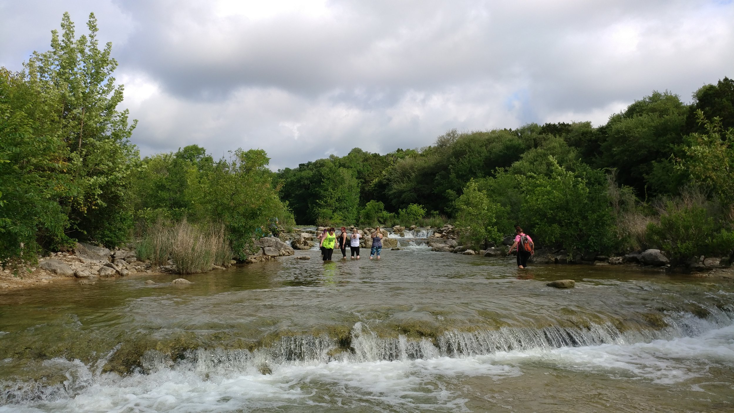
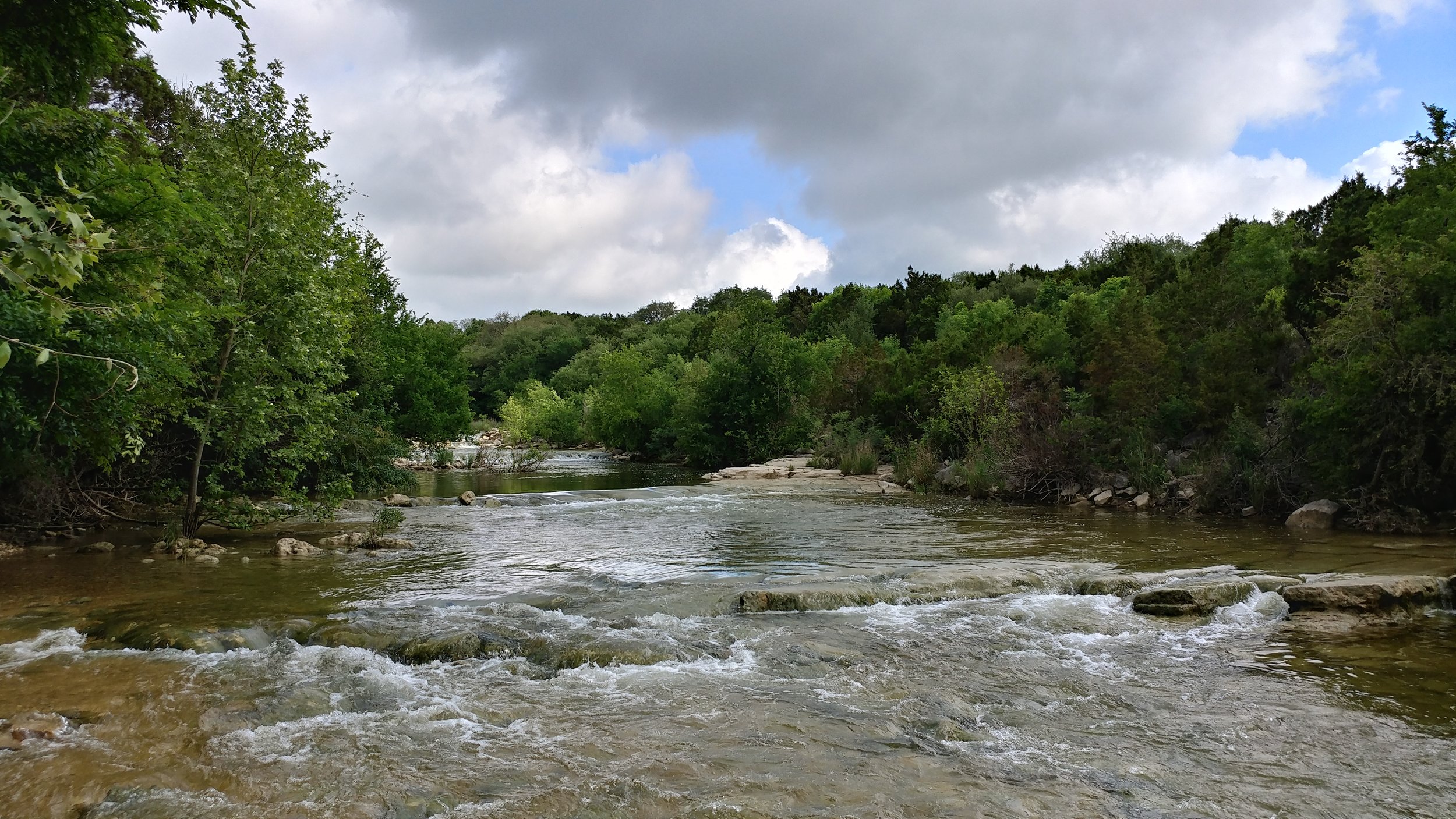
This hike was unique in that I went with 10 people! We hiked along Barton Creek, exploring all the trail off-shoots and getting our feet wet in the creek. The water was high, and flowing quickly. The trees were green, the air was mildly humid, and the sun was masked by the clouds. It was the perfect day, a great start to the morning, and a great addition to a weekend of indulgence. It's amazing to me that such a lush green area can be located in a city. Each time I visit Austin, it gets more difficult to leave. I crave that city/green life balance and you can easily jump from city street to nature very quickly.
We hiked about 2 miles, I'm not exactly sure. This hike wasn't intense on the fitness, but it was peaceful and centering.
Happy hiking!
