#hike39 - Caprock Canyons State Park
Location: Caprock Canyons State Park Date: 9/30/17
Distance: 9 miles
Trails: Main highlights were Canyon Loop and Upper Canyon (did some walking down random stream beds, along the roadway, etc)
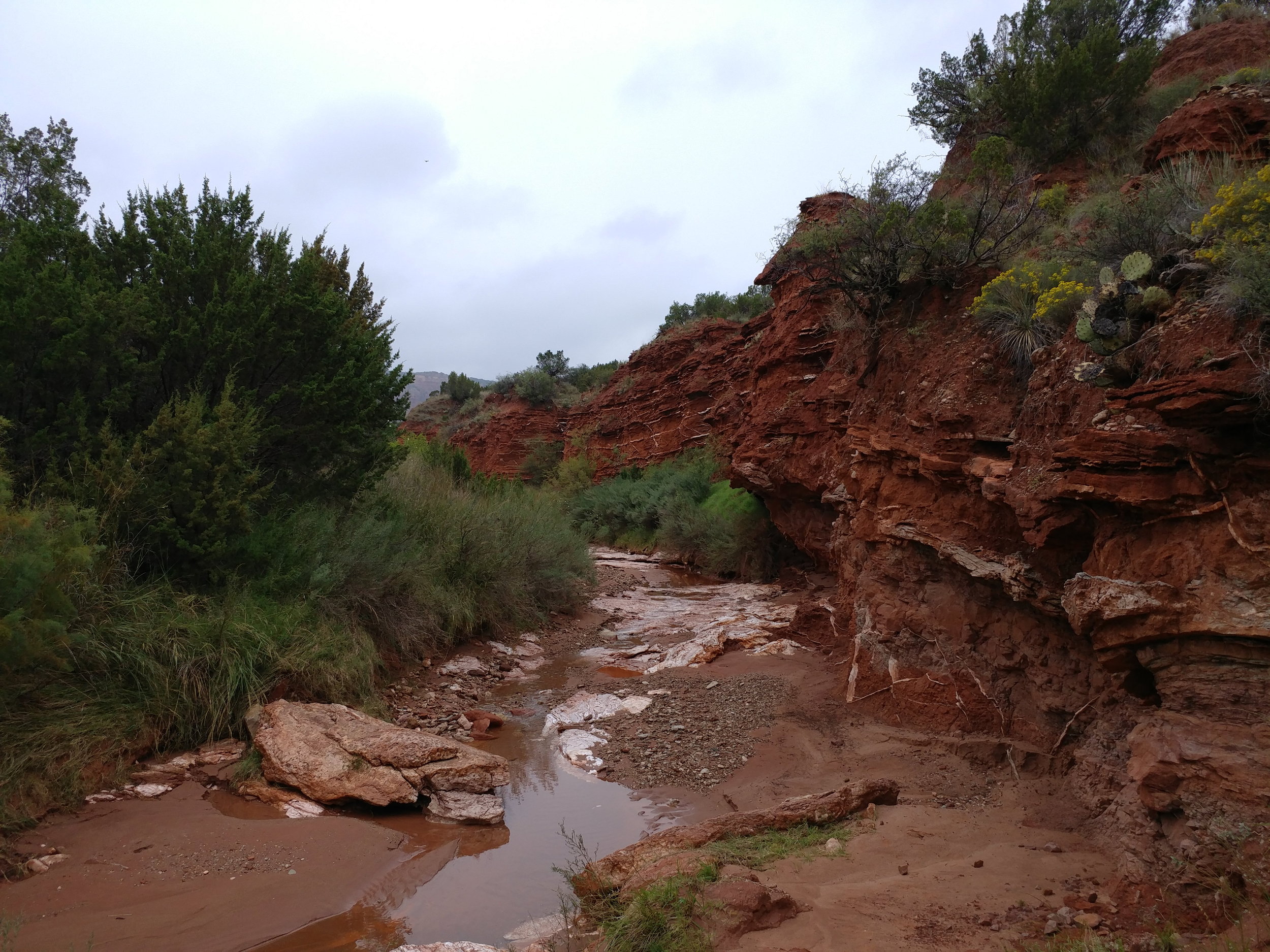
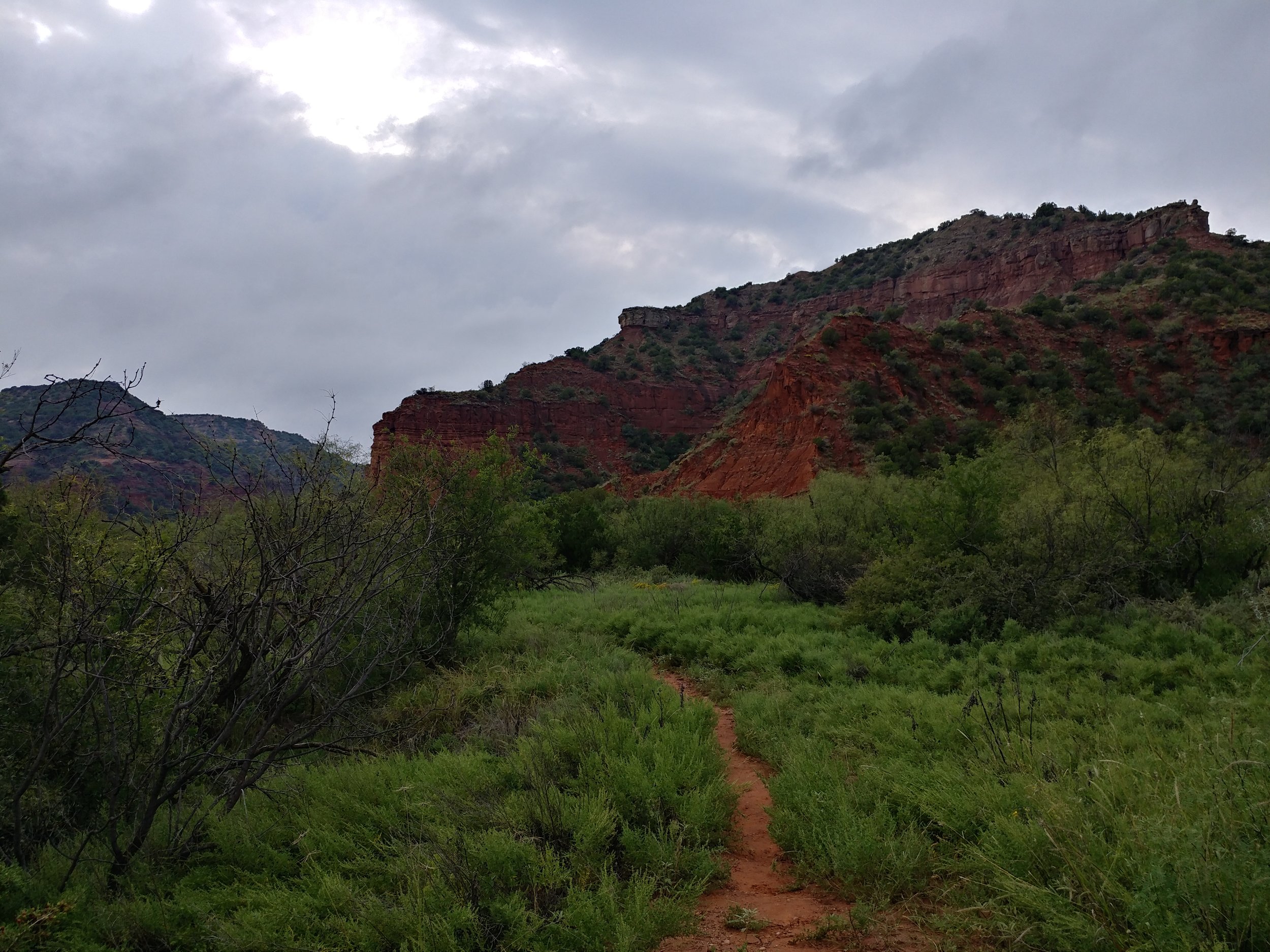
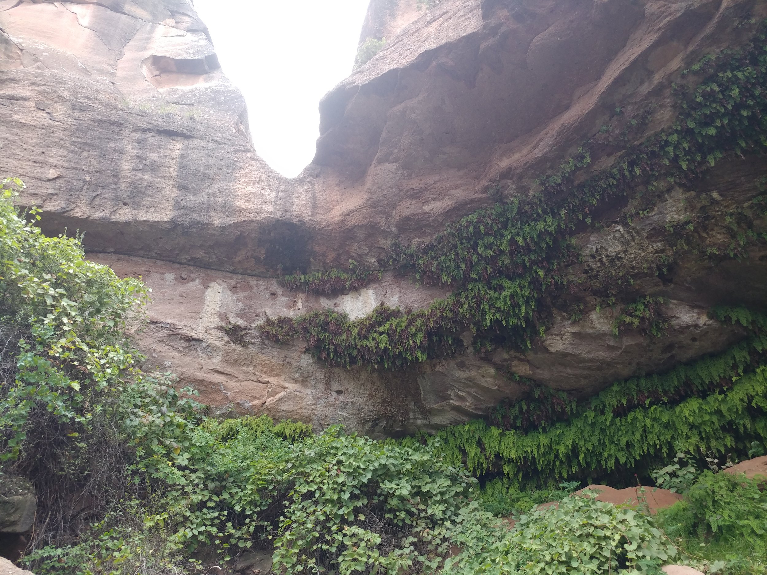
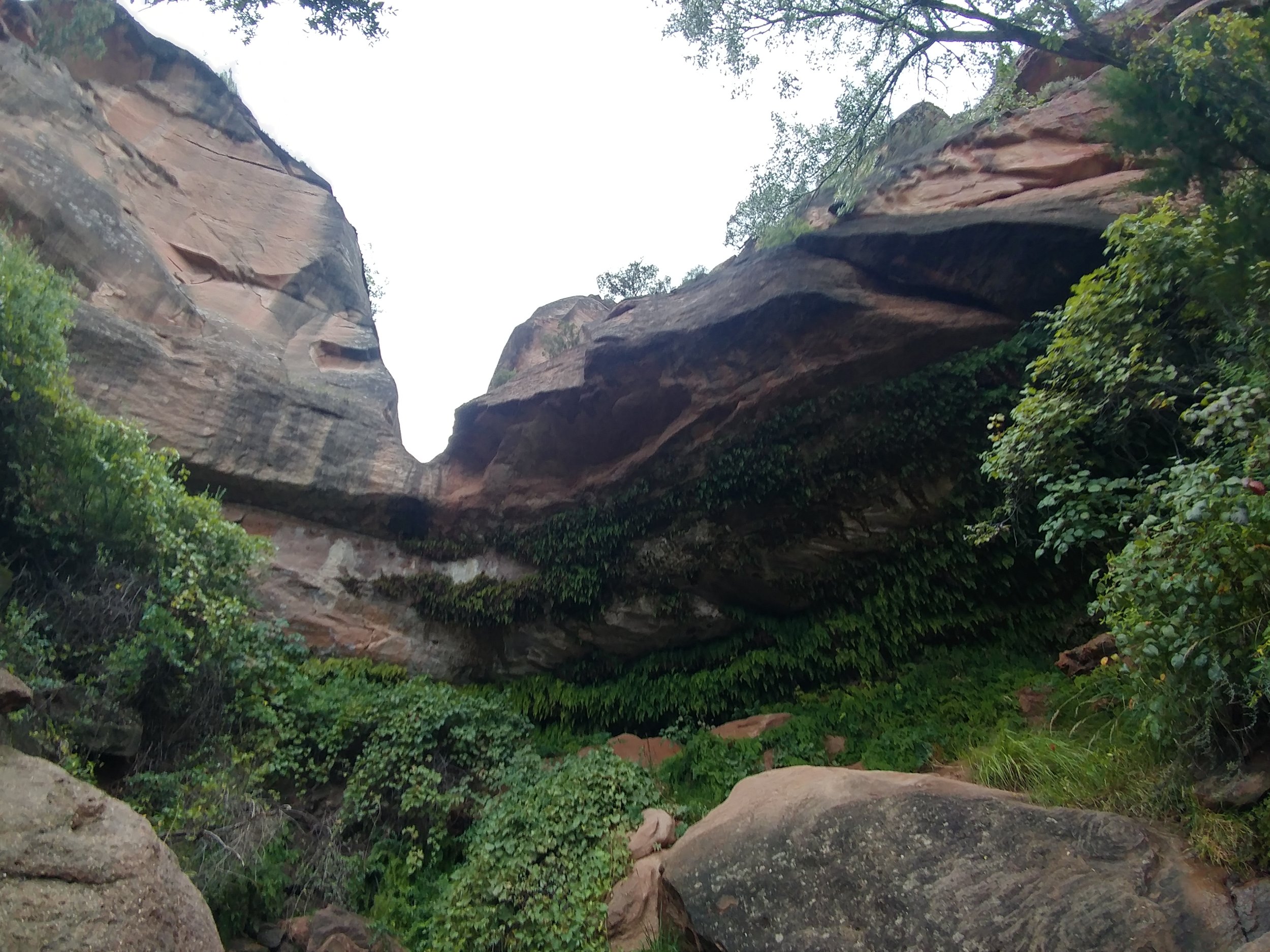
It was gray and misty, mild humidity, and cool in temperature. We set out from the campground down to a desert stream bed to see if it would lead to where we needed to go. Long story short, the stream bed did not take us where we wanted to go so we made our way back to camp and out to the road and onward to the trailhead parking lot - about a mile or so. Started on the Canyon Loop trail, which was familiar from our spring trek, and headed around to the Upper Canyon trail. We followed the Upper Canyon trail to the northeast corner of the park to a spot called Fern Cave. We passed two women hiking out of Fern Cave and they said it was spectacular. As we headed down the steep rocks into the cave, we realized they weren't kidding. The natural spring and temperature control create the perfect habitat for these ferns to grow. I've included a photo from 3/4 of the way down the descent:
The dog enjoyed fresh, cool water, and then we made our way out. We ran into a couple that was camping near us - and their dogs - and chatted for a second before heading back the way we came. We passed the women we saw earlier, they were enjoying a snack break, and we carried on. We get almost two miles down - to the point where we almost turn right on the Canyon Loop trail, and we are stopped because there is a huge bison on the trail. The bison was rolling in the clay when he wasn't staring us down. The women catch up, we brainstorm, and try a few options for getting around him as you aren't supposed to get too close or interact. We finally find a path through the woods - or overgrown brush really - that get us far enough around him to be safe-ish. The bison did start coming off trail towards where we were, but we just booked it as quickly as we could to put distance between us. The last mile-mile and a half was spent processing a situation I would have never guessed would happen. A lesson learned is always be prepared - it may have not been a bear or mountain lion, but a bison could be deadly if he charges.
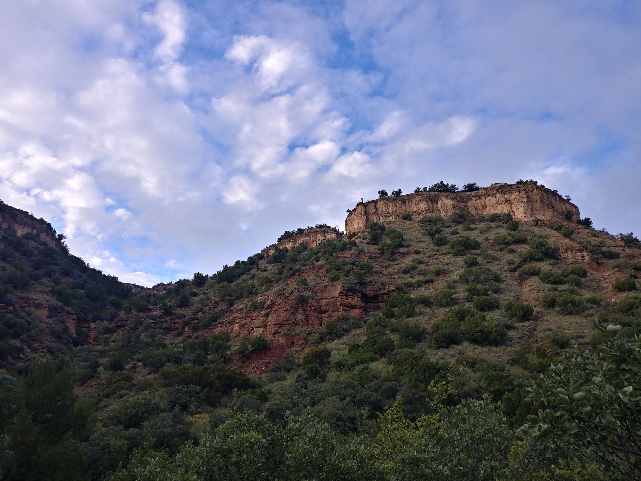
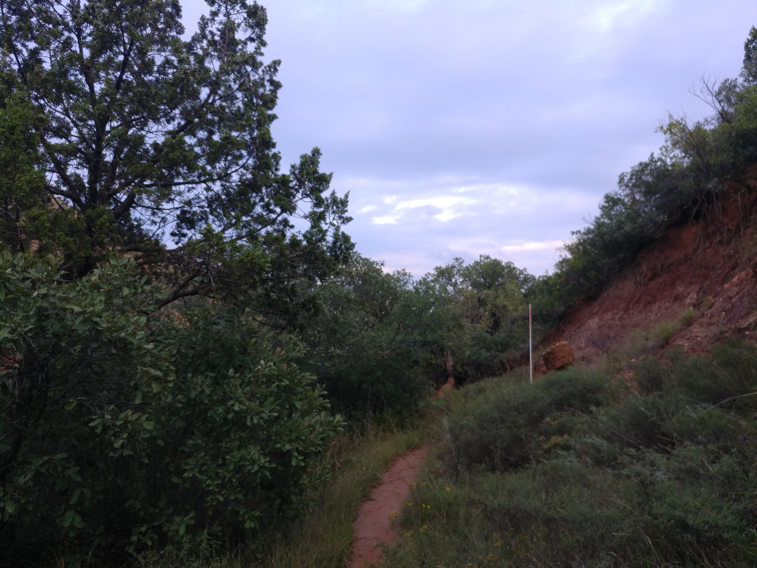
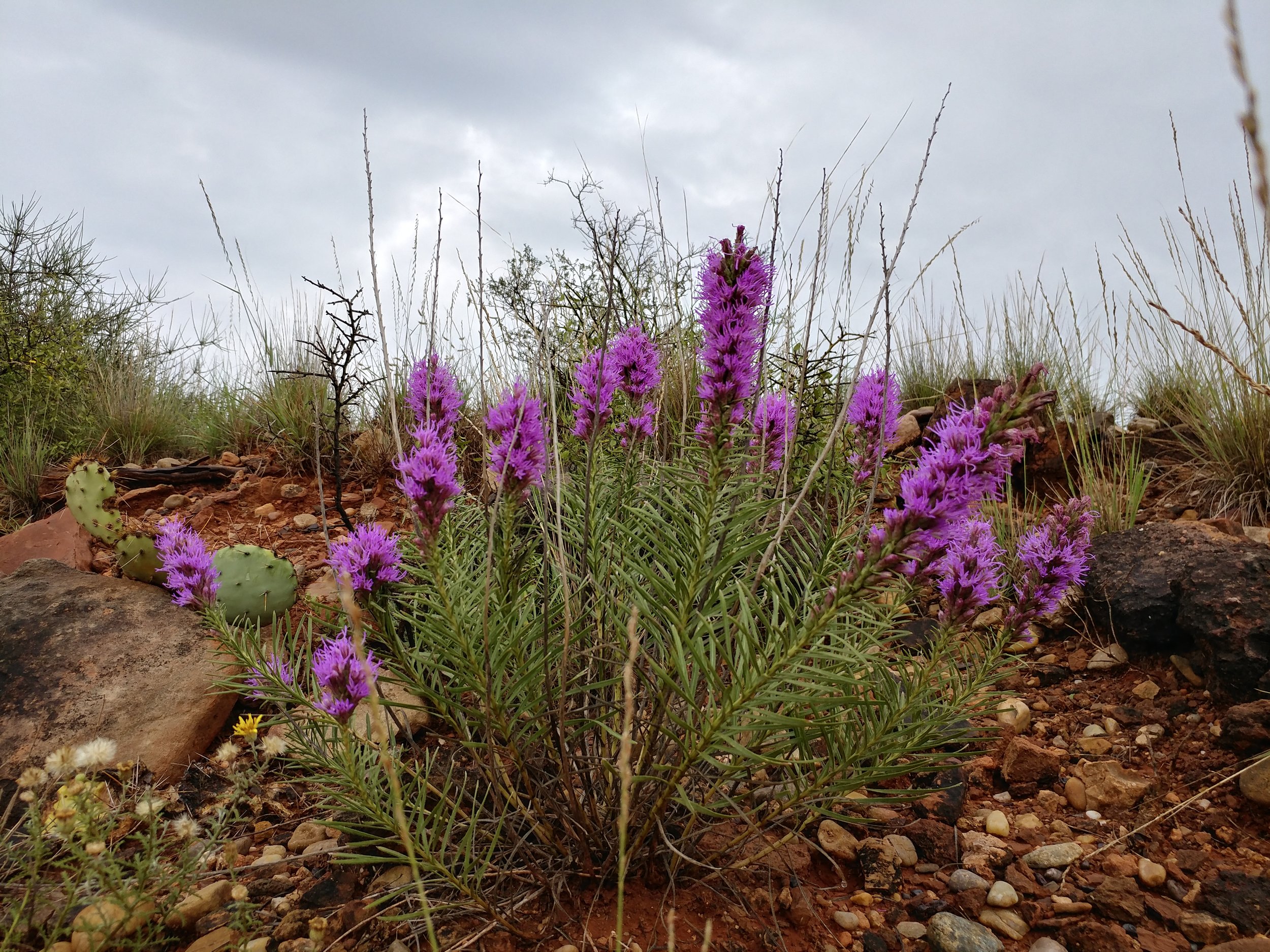
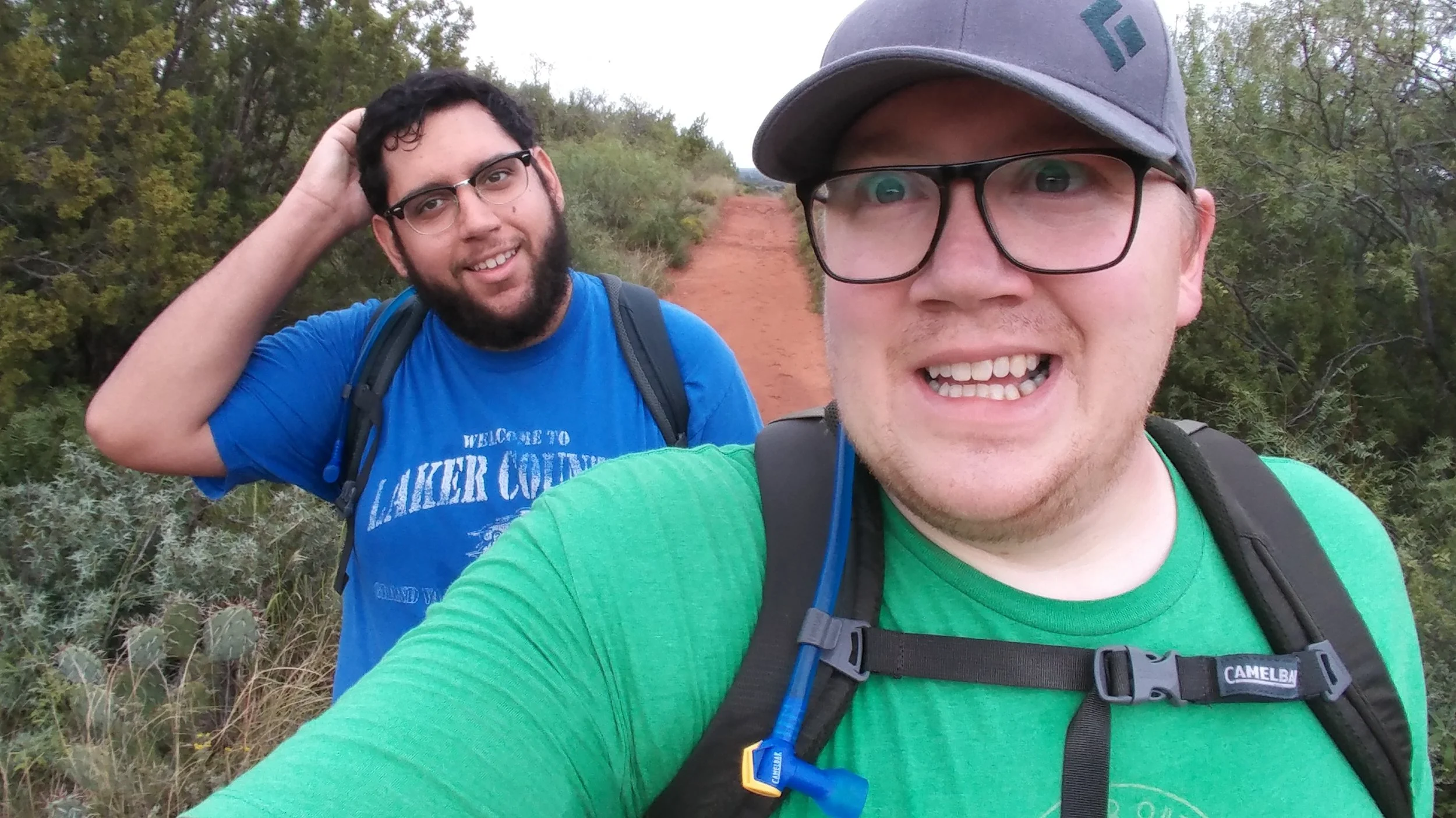
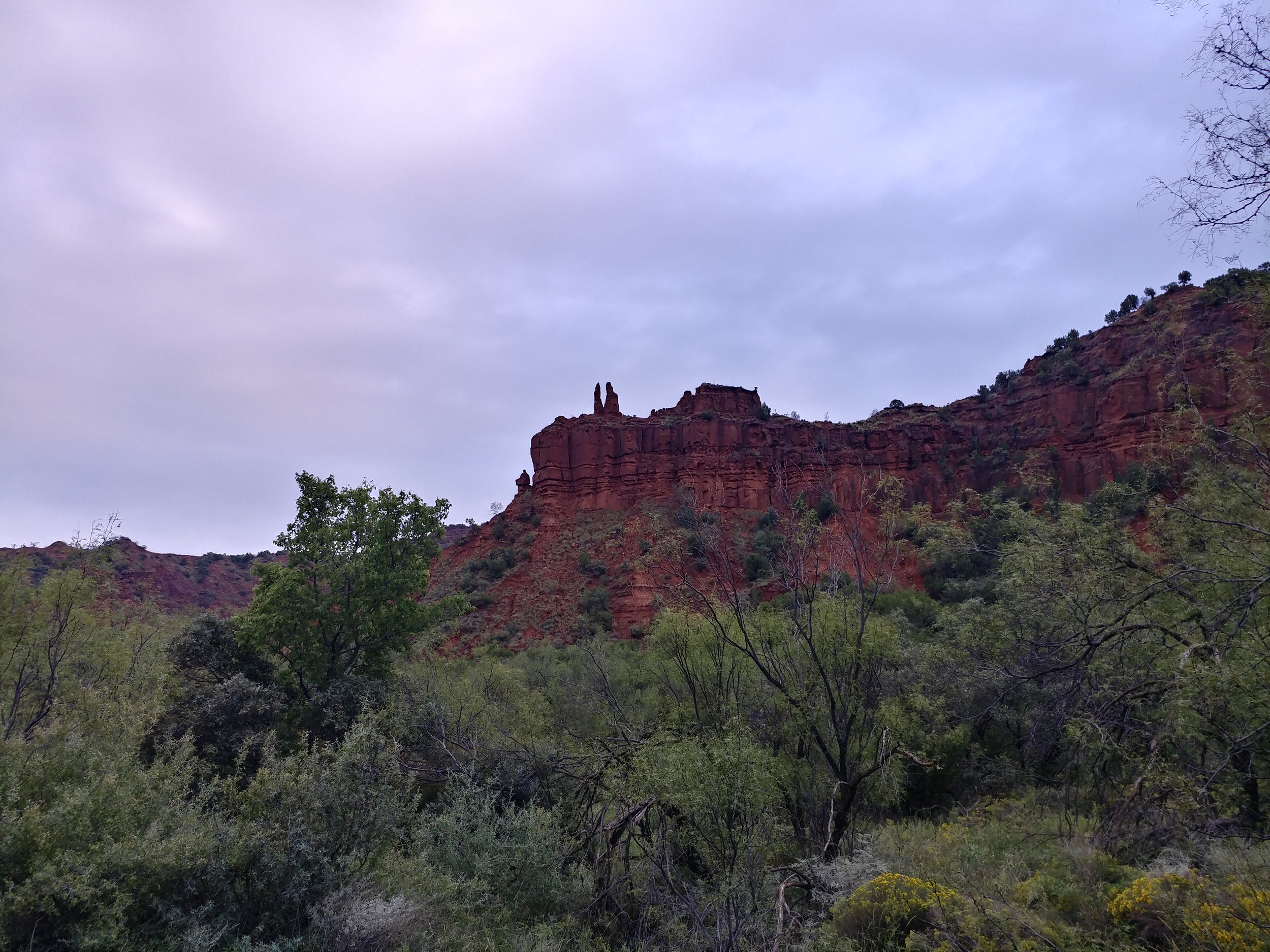
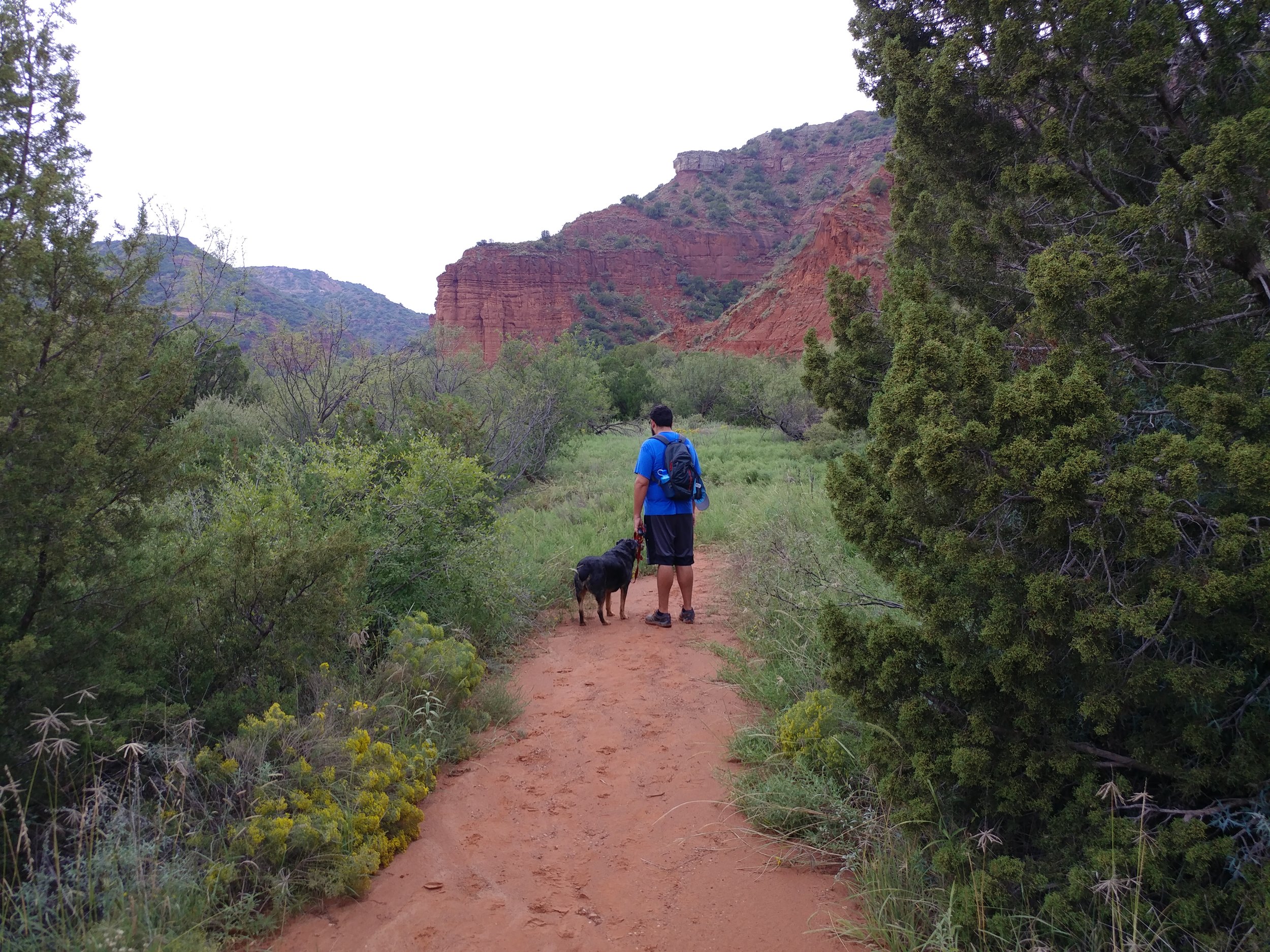
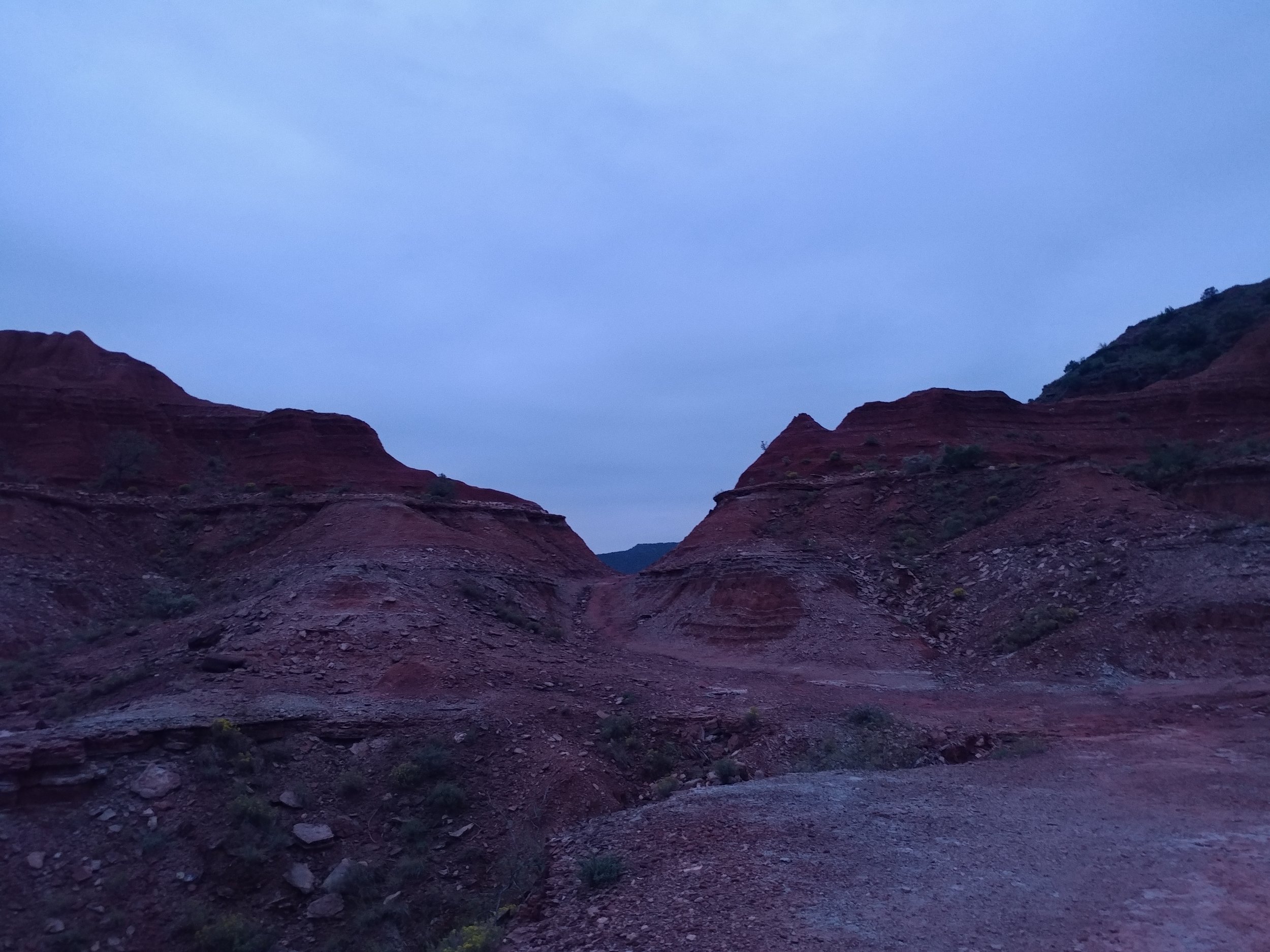
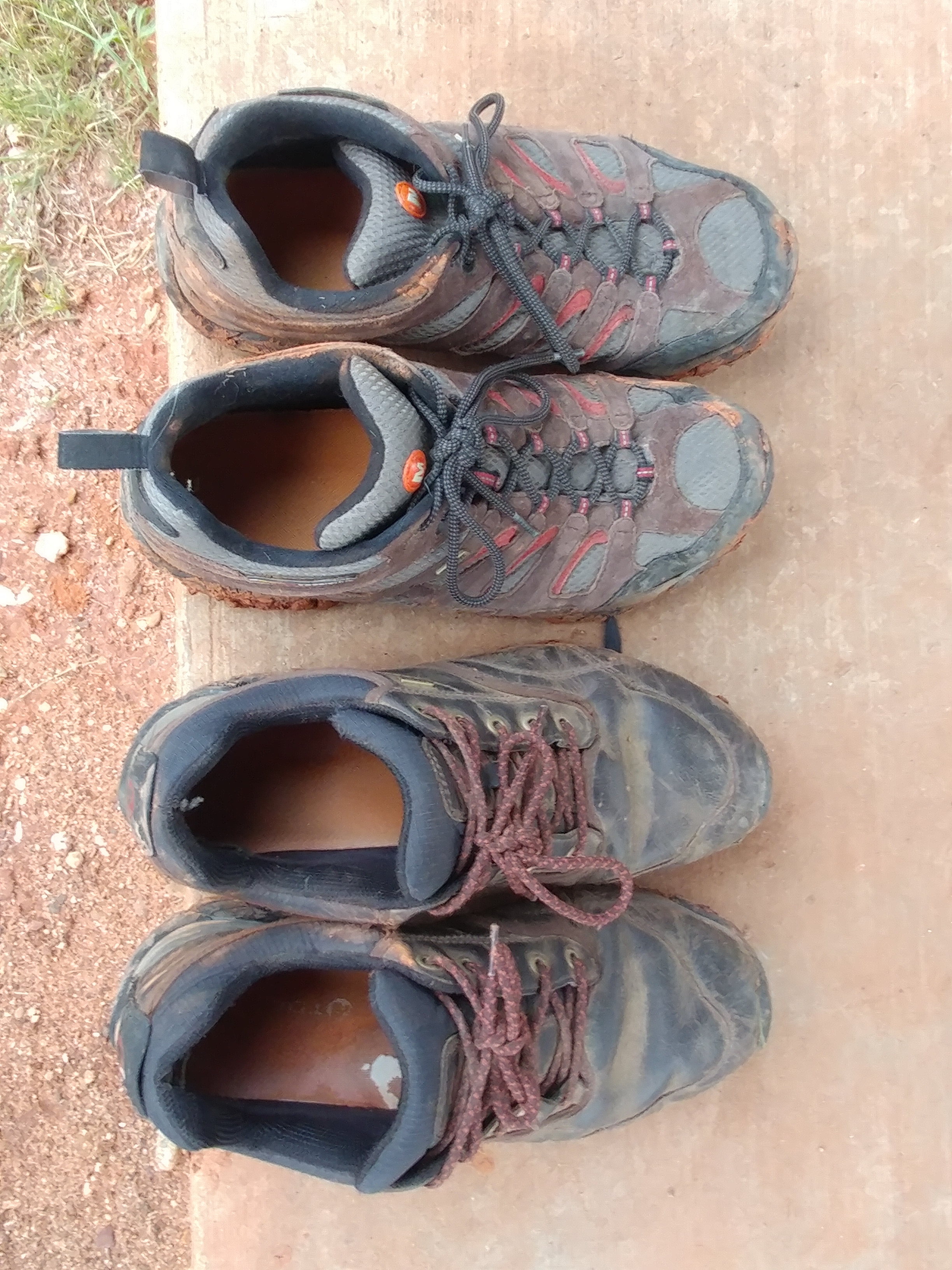
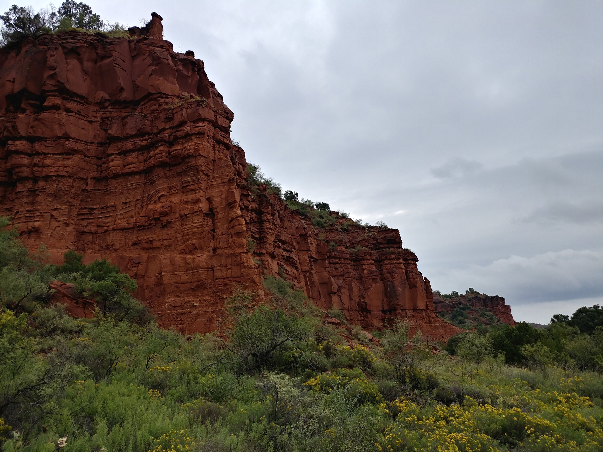
By far, my most memorable hike yet. Here are some photos:
Hike 39 of 52
Total Miles: 174.5
Total solo hikes so far: 13/39
Total companion hikes so far: 27/39
Total hikes w/ the dog: 14/39
Total unique locations: 24/39
Total number of hikes fully enjoyed: 36/39
#hike33 - Bryce Canyon NP & Cedar Breaks NM
I'm actually documenting two hikes for this one, as they were within 18 hours of each other. Hike 33a: Bryce Canyon National Park - Bristlecone Loop - 1 mile (8/20/2017)
Hike 33b: Cedar Breaks National Monument - the hike to Spectra Point - 2 miles (8/21/2017)
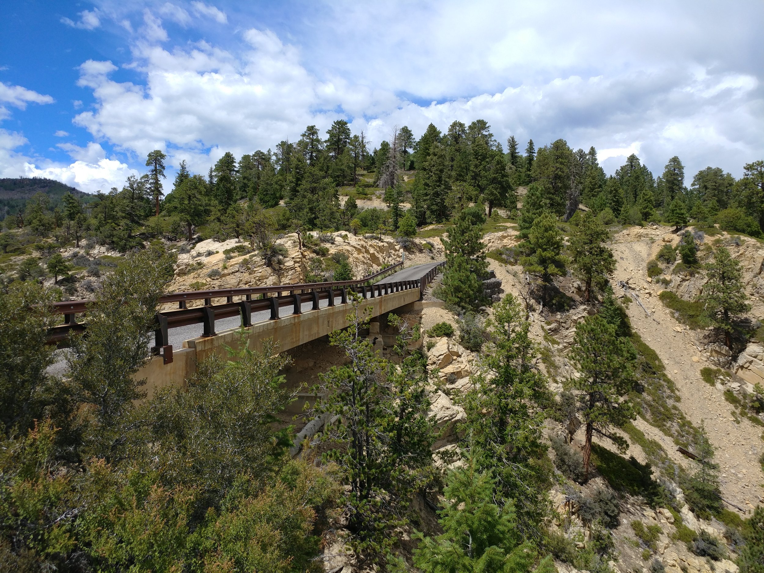
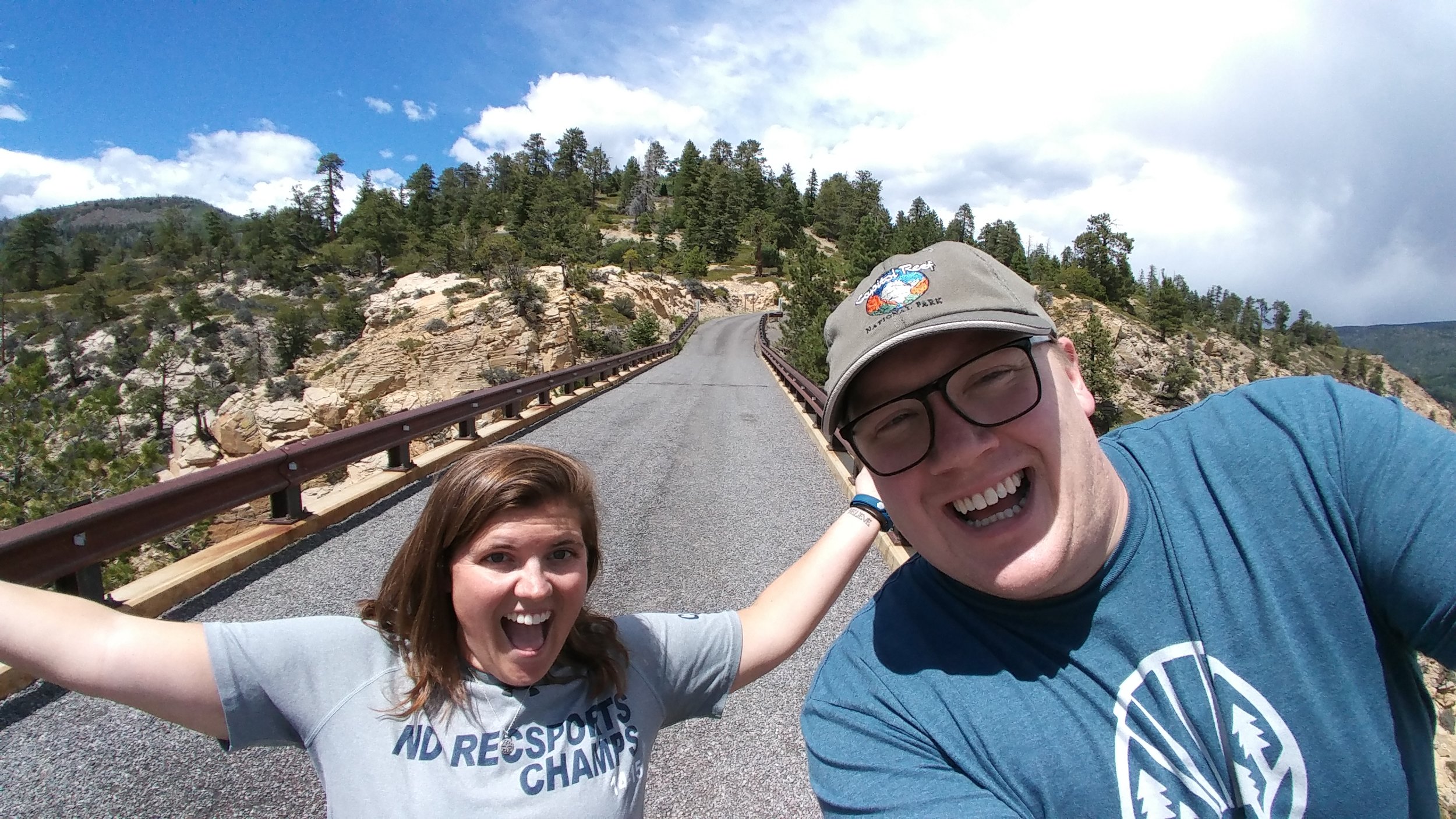
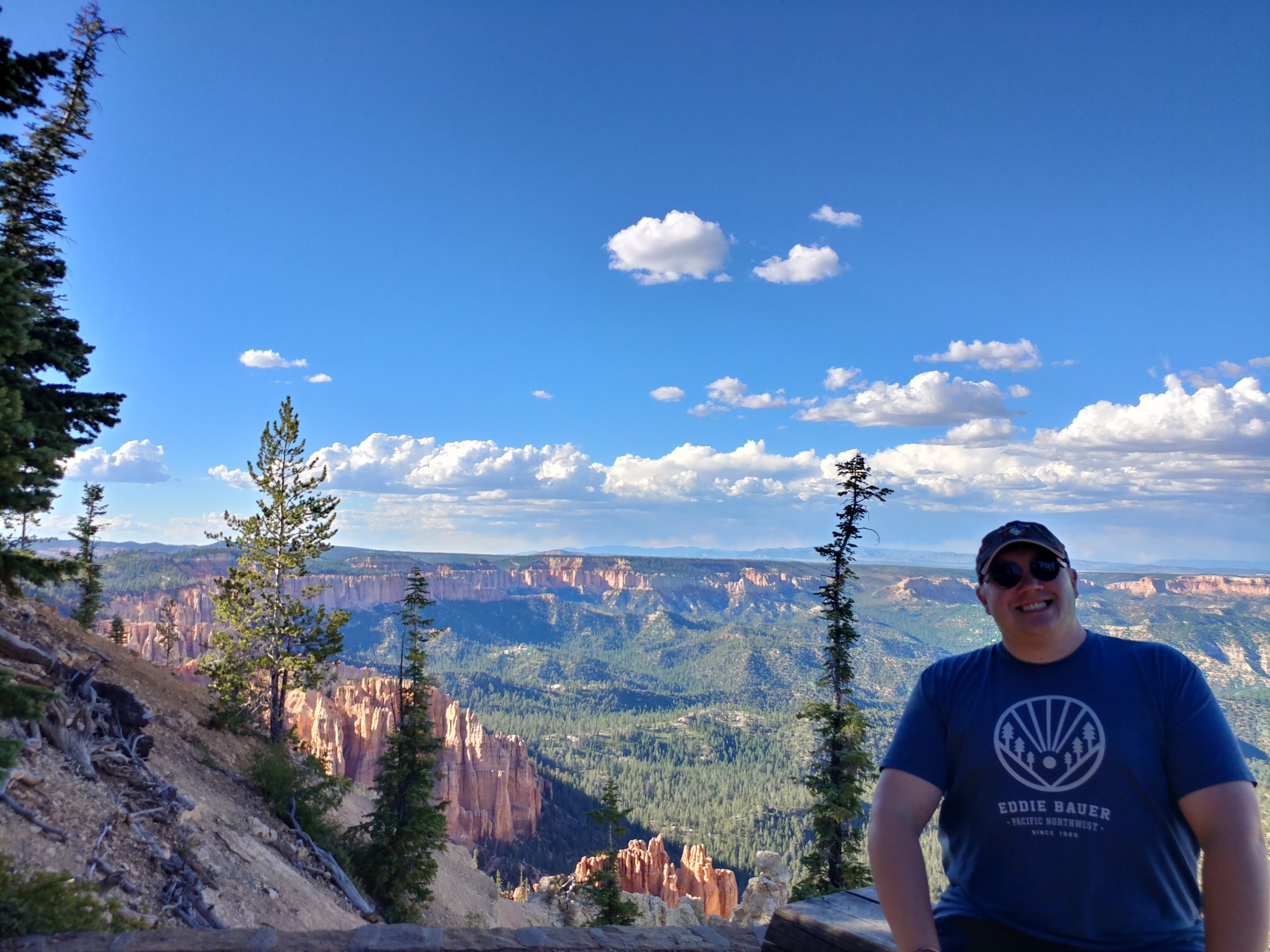
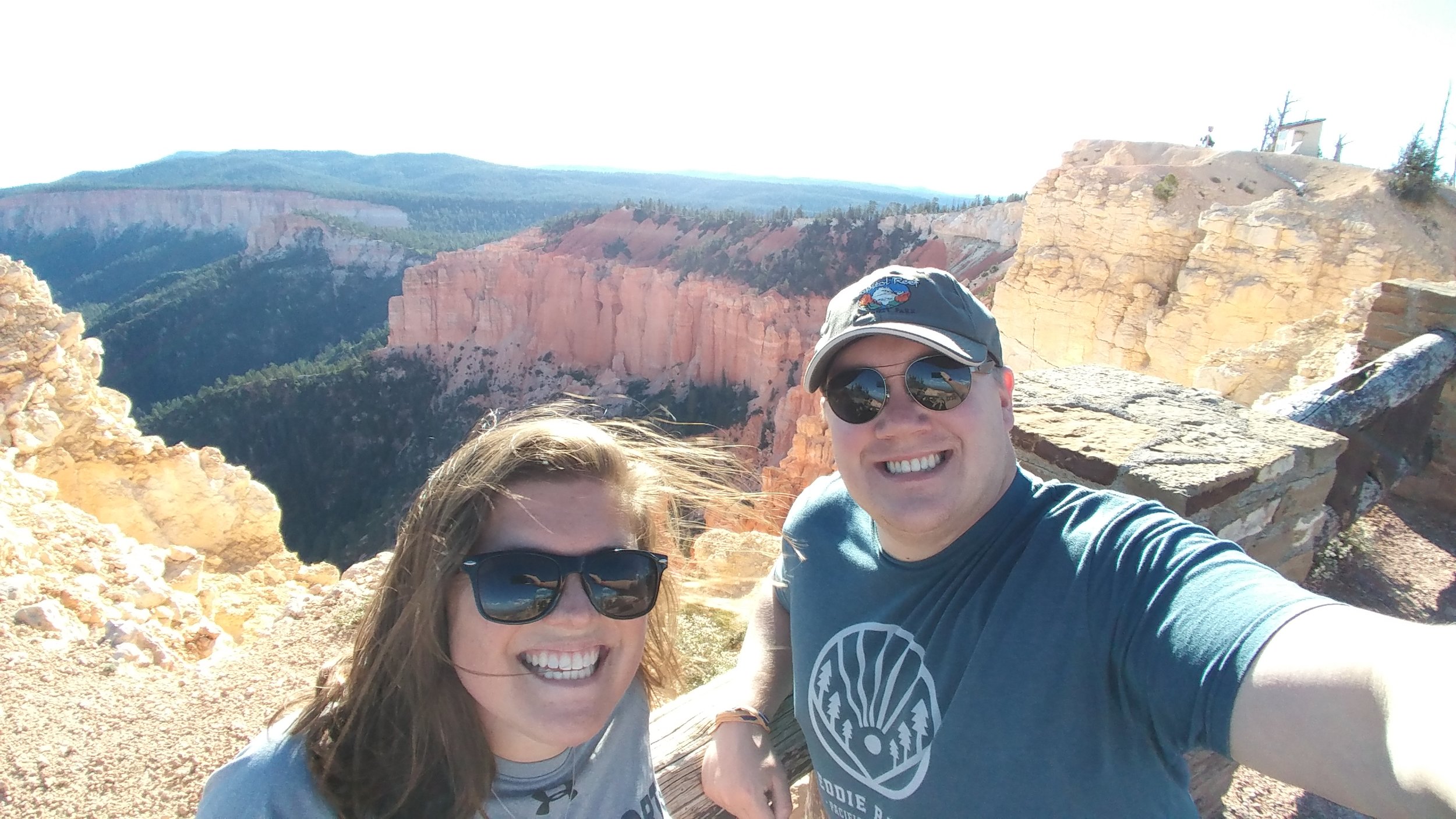
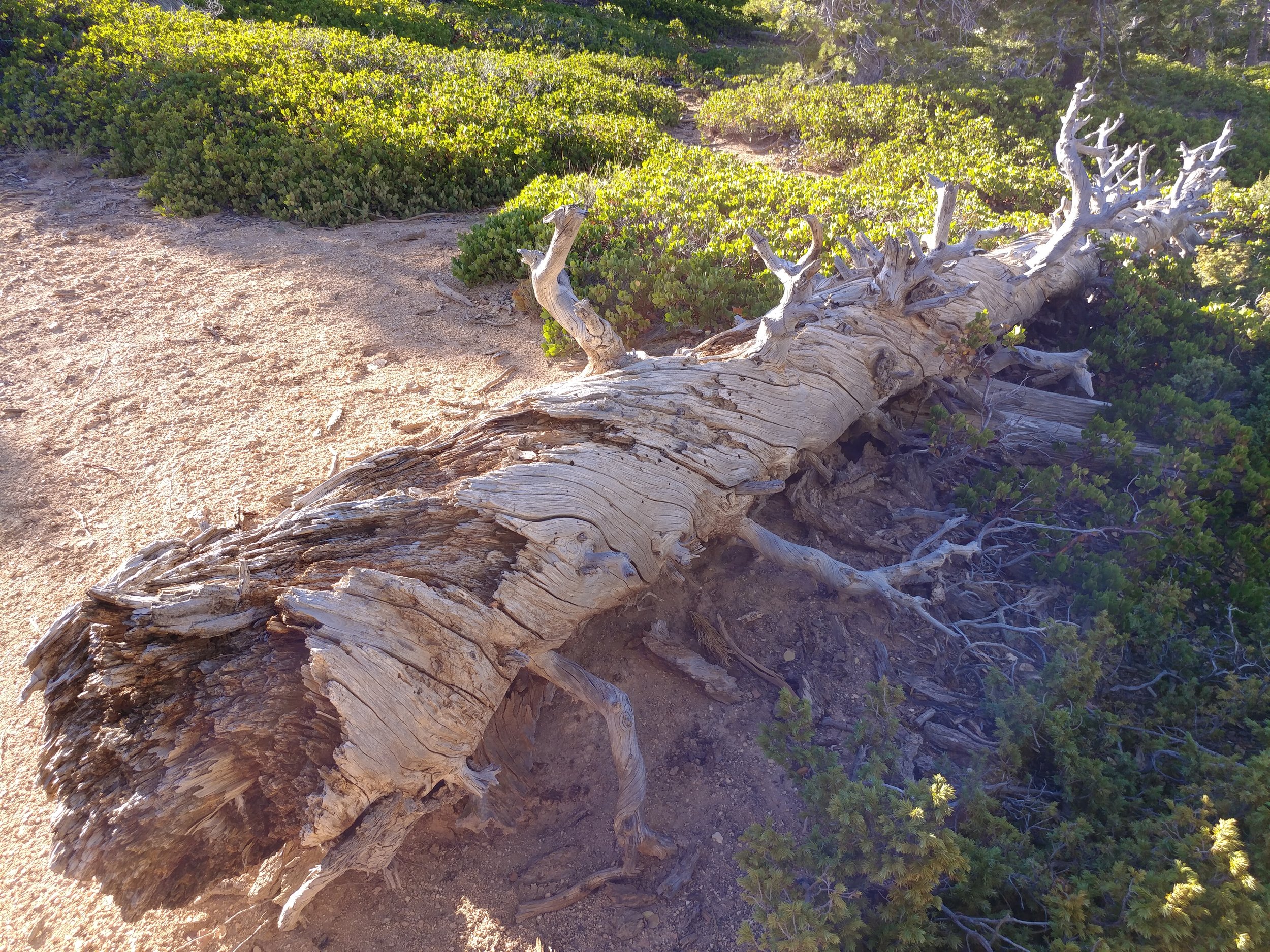
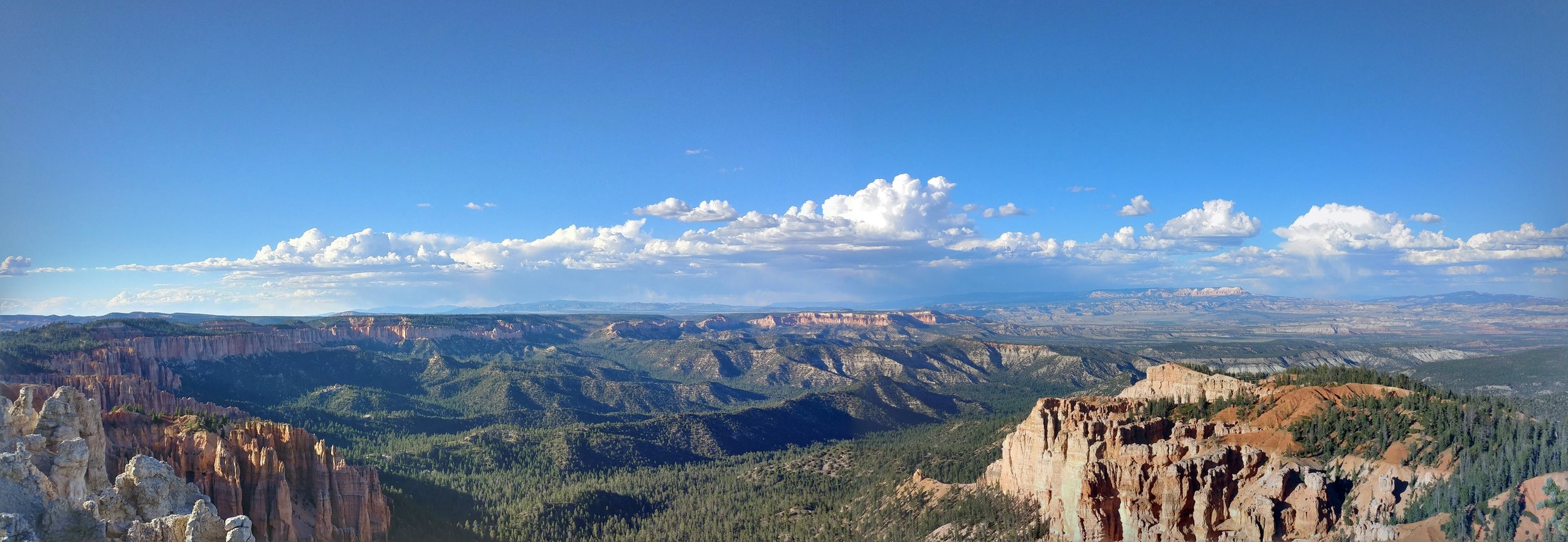
I had planned a solo scenic trip to Utah, and then my BFF decided she could join me! I was pumped, as I knew she'd appreciate it all as much as I did. We both flew in to Salt Lake Friday, managed to get dinner and a hotel and rested up for morning. Saturday, we woke up early, as it is our nature, and headed south. Our first stop was Capital Reef National Park. We did a partial hike at Chimney Rock, stopped at the visitor center, and absorbed the views from a few viewpoints. We took the scenic Hwy 12 byway onward to US Forest Service RD 153 to Hells Backbone. The drive was on a narrow road through the hills and forest to a spot that took our breath away. Once there, the narrow bridge spanning a deep groove through the rock was intense. *Pictures are just placeholders - there to trigger the memory* From Hells Backbone, we moved on towards Bryce Canyon. I had been to BC once, in the winter of 2010, so I was anxious to see it in the summer - and go all the way in to the park. Upon arrival, we headed directly to mile marker 18 at Rainbow Point. Our hike here would be the Bristlecone Loop. We walked on the edge, ish, and read about the pines. We were in awe. Amazing to stare out, and think about all of this coming to be. We moved down to other points, via car, and got out at most of them. The sun was setting and we made it back to Bryce & Inspiration points just as the light was running out The clouds were puffy and there was rain in the distance. All in all, we didn't hike much, but the bits we did at each point were enough to make your blood rush, your brain stop, and your eyes widen.
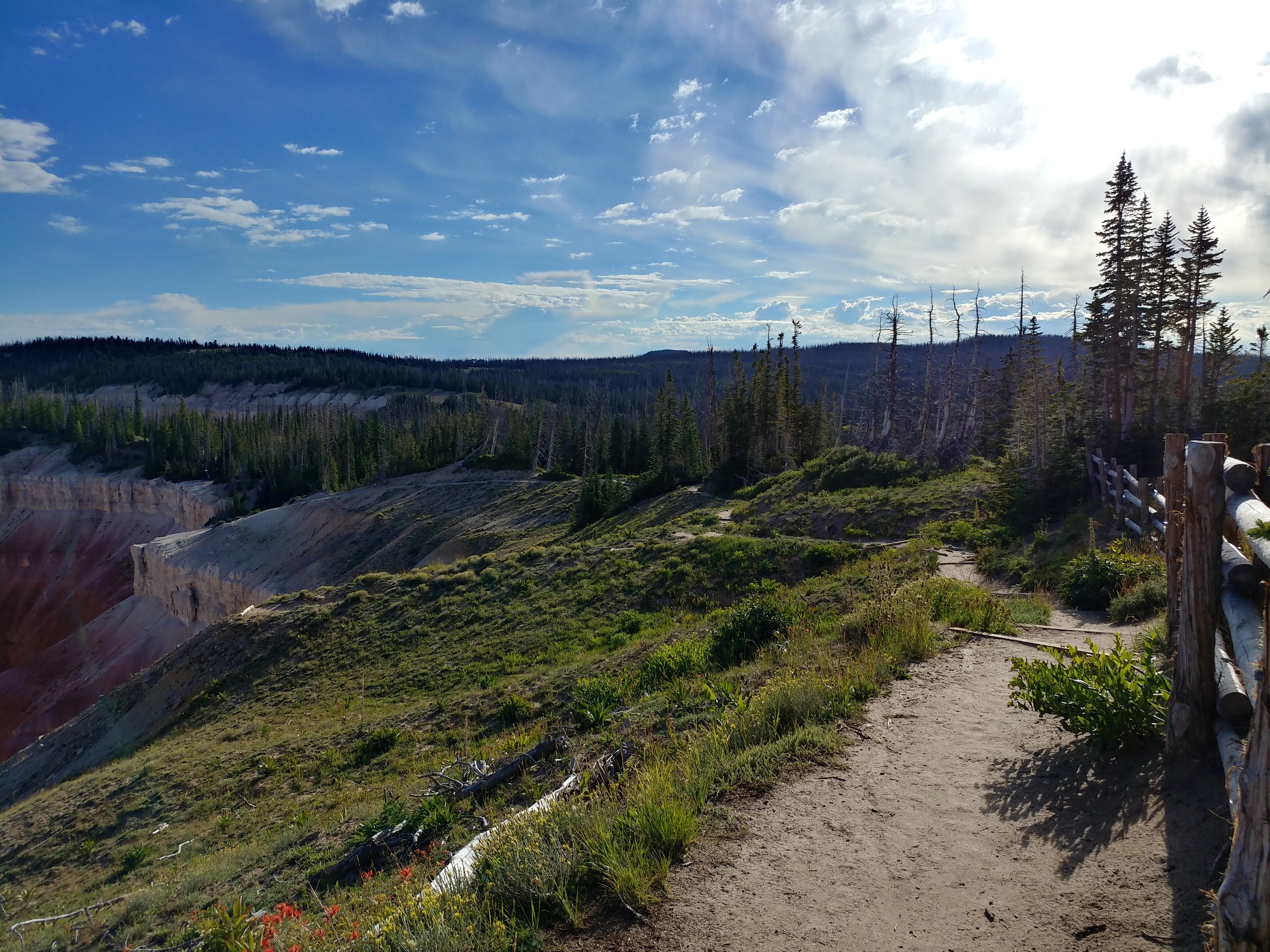
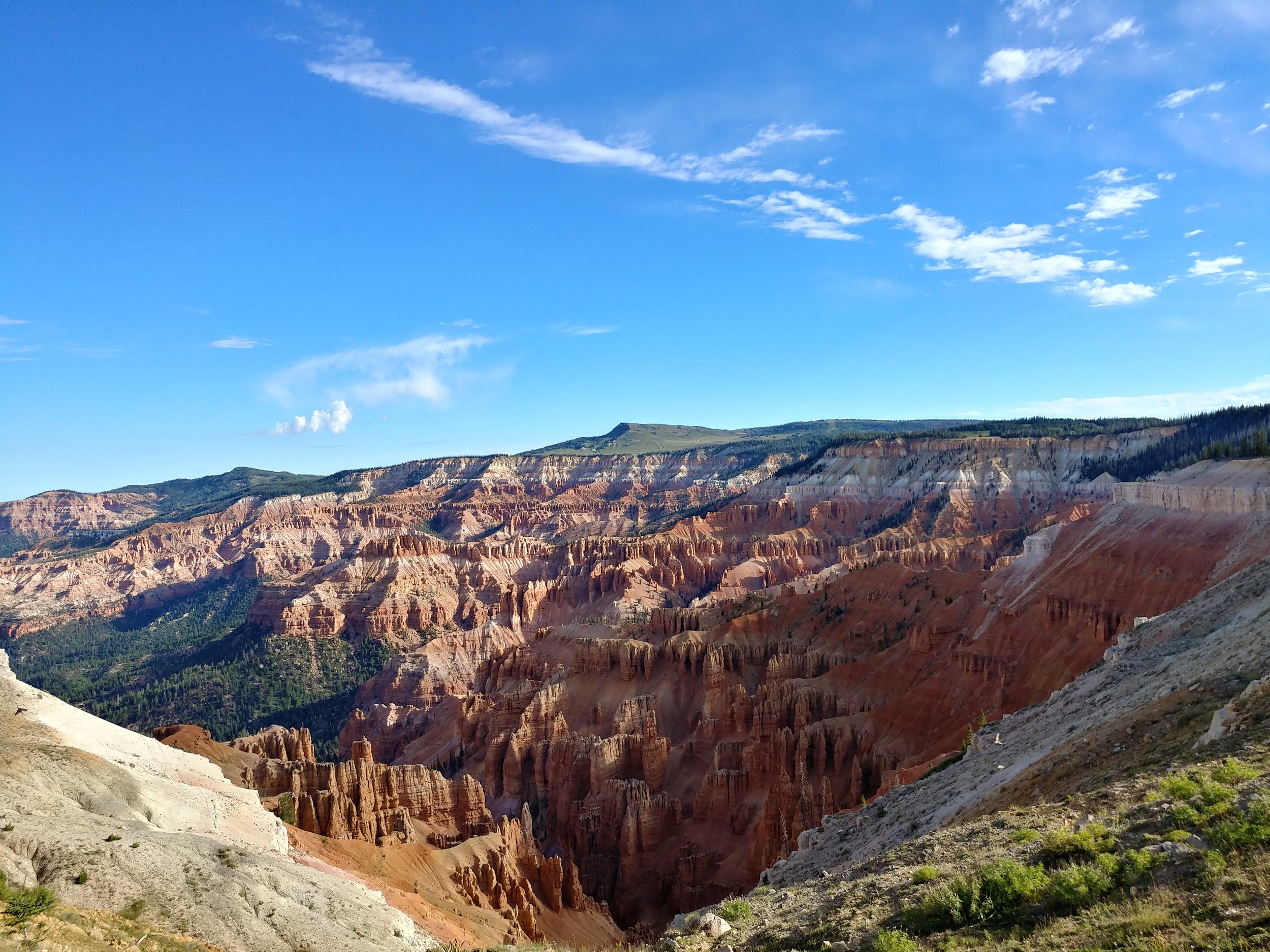
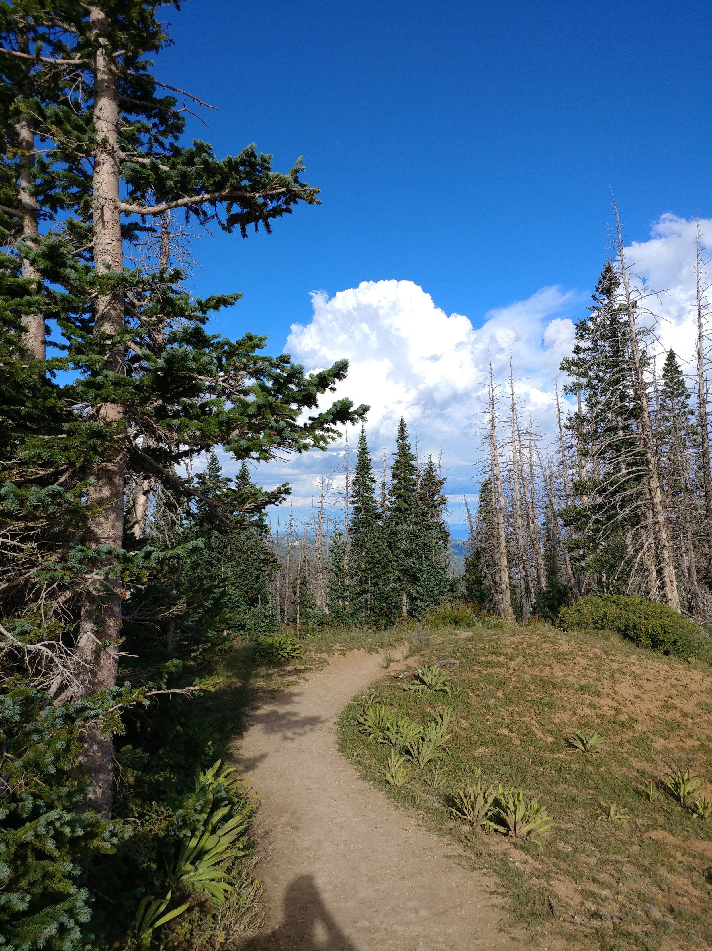
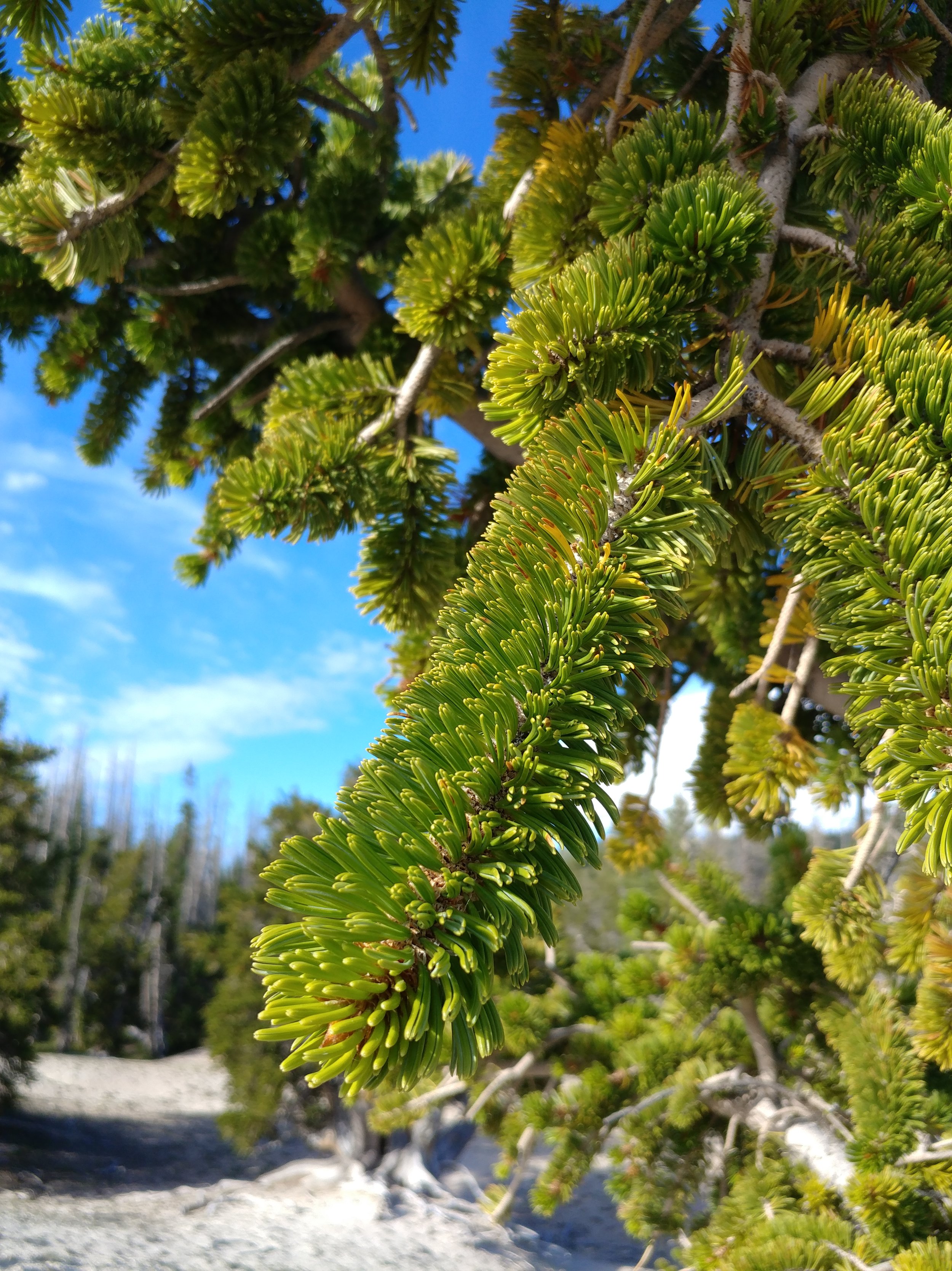
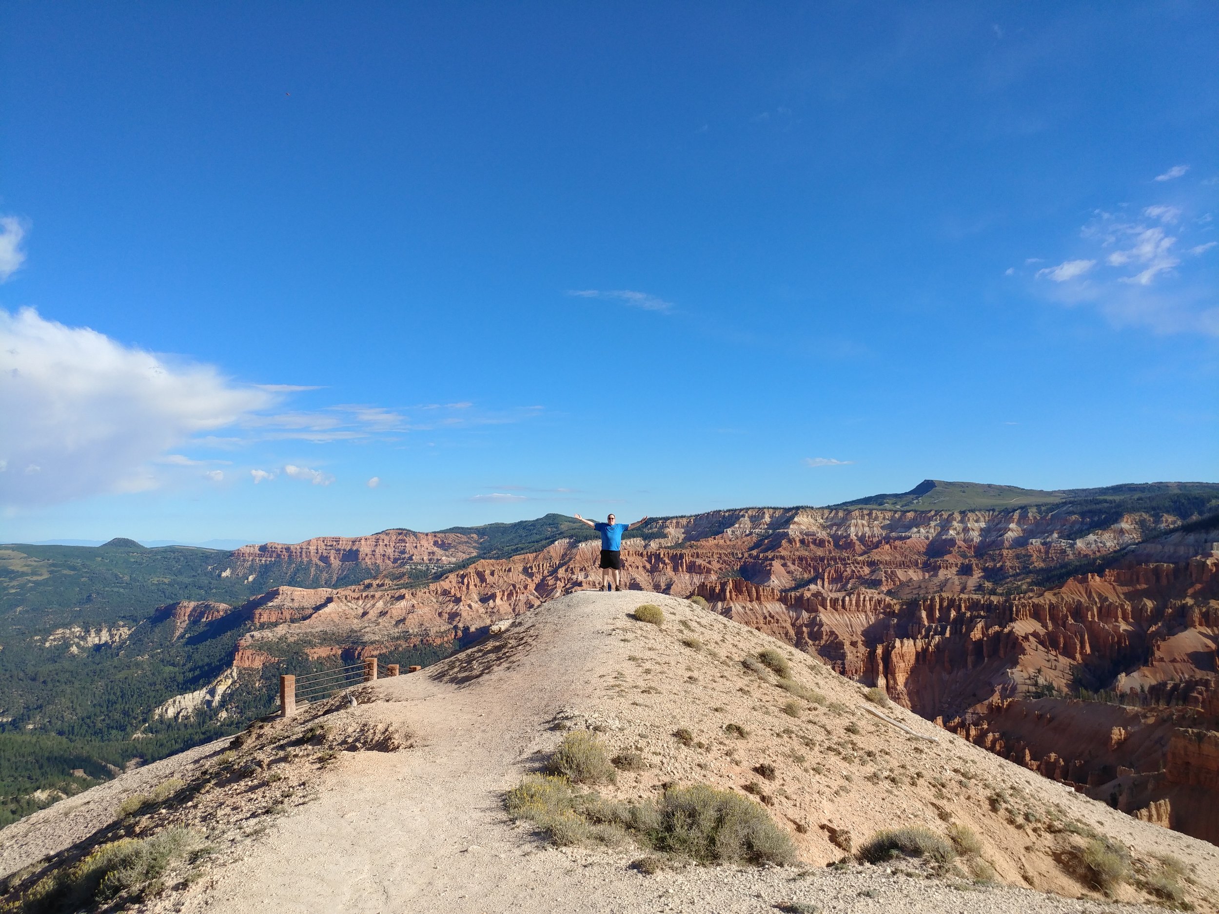
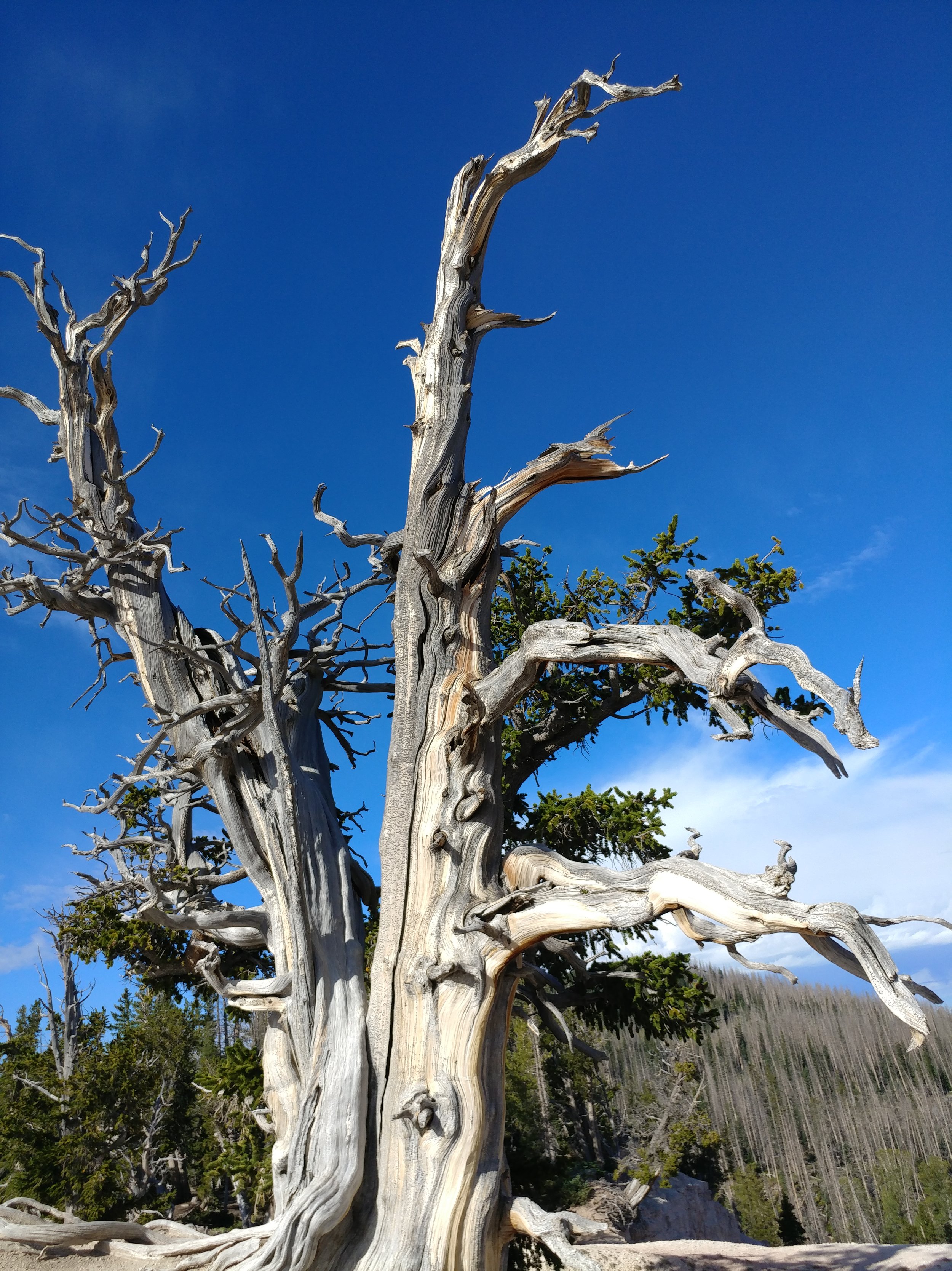
The second part of this hike was a morning hike, just after sunrise, at Cedar Breaks National Monument. THIS PLACE... I've wanted to go here for a while now, and I want to get back already. Our first stop was the ranger station, and Point Supreme. There was a rainbow in the distance, and it was one of the most magical scenes of my life. From the height, hoodoos, and sunlight, I was in total awe. We started off on the Sunset trail, but turned around. Went back and did the Spectra Point trail. It was a two mile trek in all, and looked promising. We stepped out on the first part, just over the initial hump in the trail, and I gasped with excitement...we would be walking around the edge of the canyon. This trail gave me a rush, I felt alive. Once at Spectra Point, my heart was racing from the thin air and the excitement. The views were stunning and the big old Bristlecone was inspiring.
All in all, it was a quick trip to Utah and so much was taken in. I am still, a week later, processing everything. I can't wait to get back! Happy hiking.
